The best running trails around Salvacañete
17
runners
6
runs
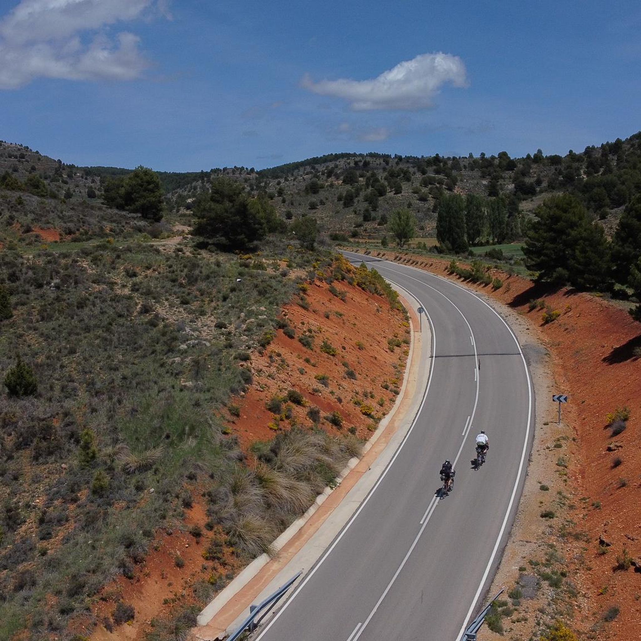
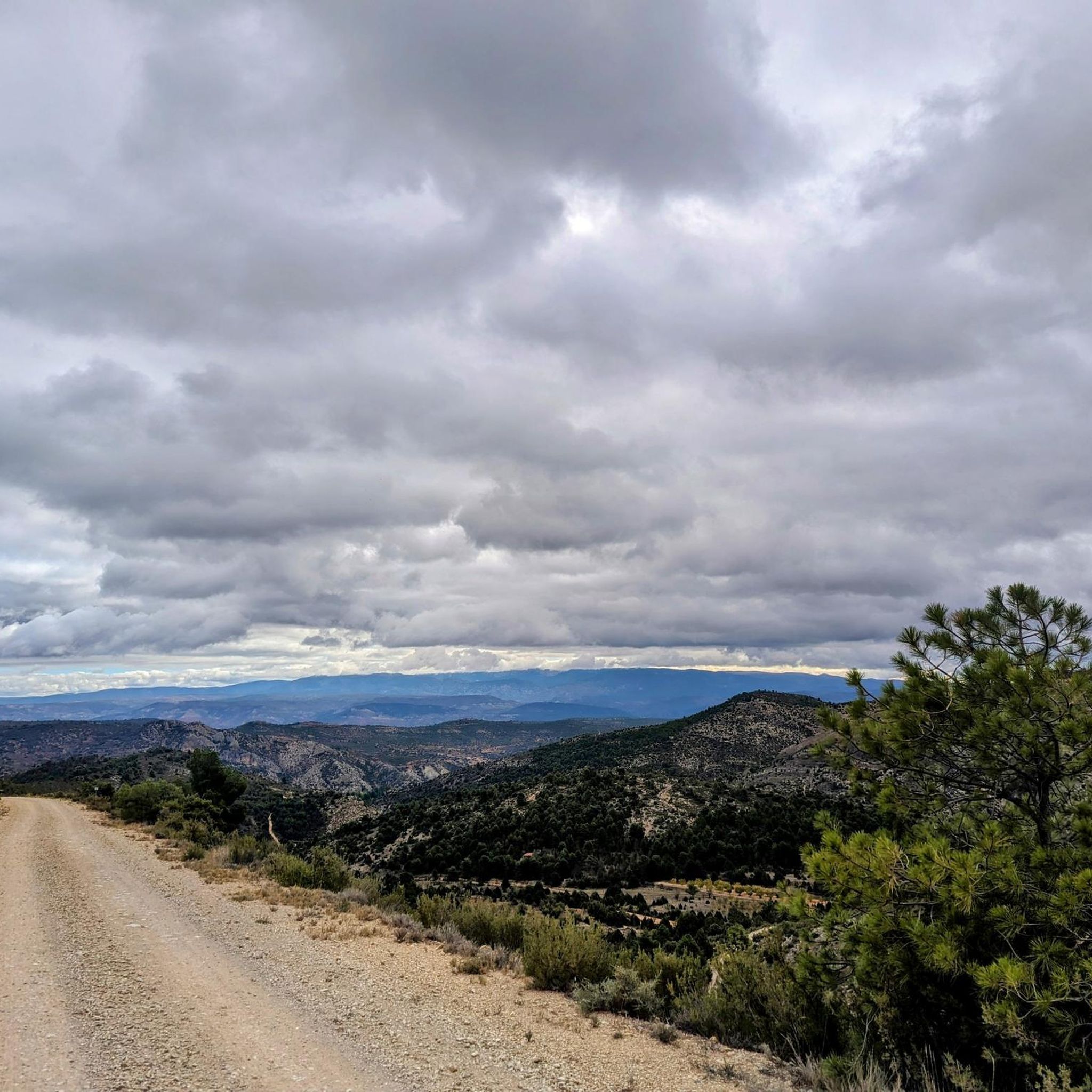
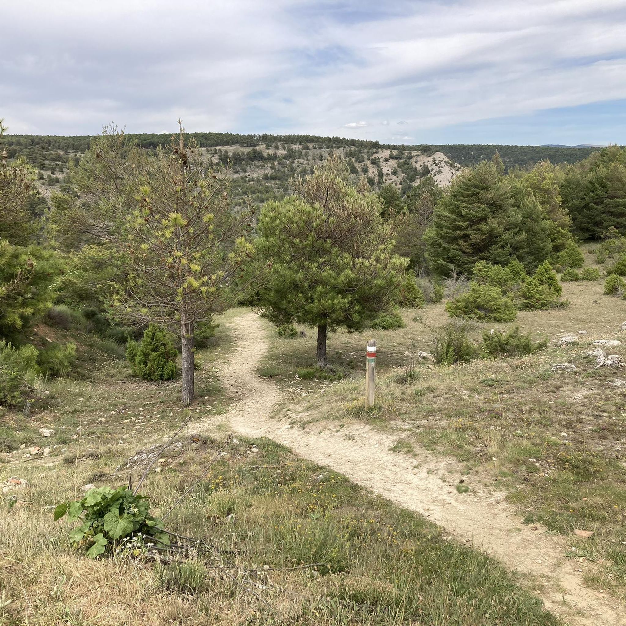
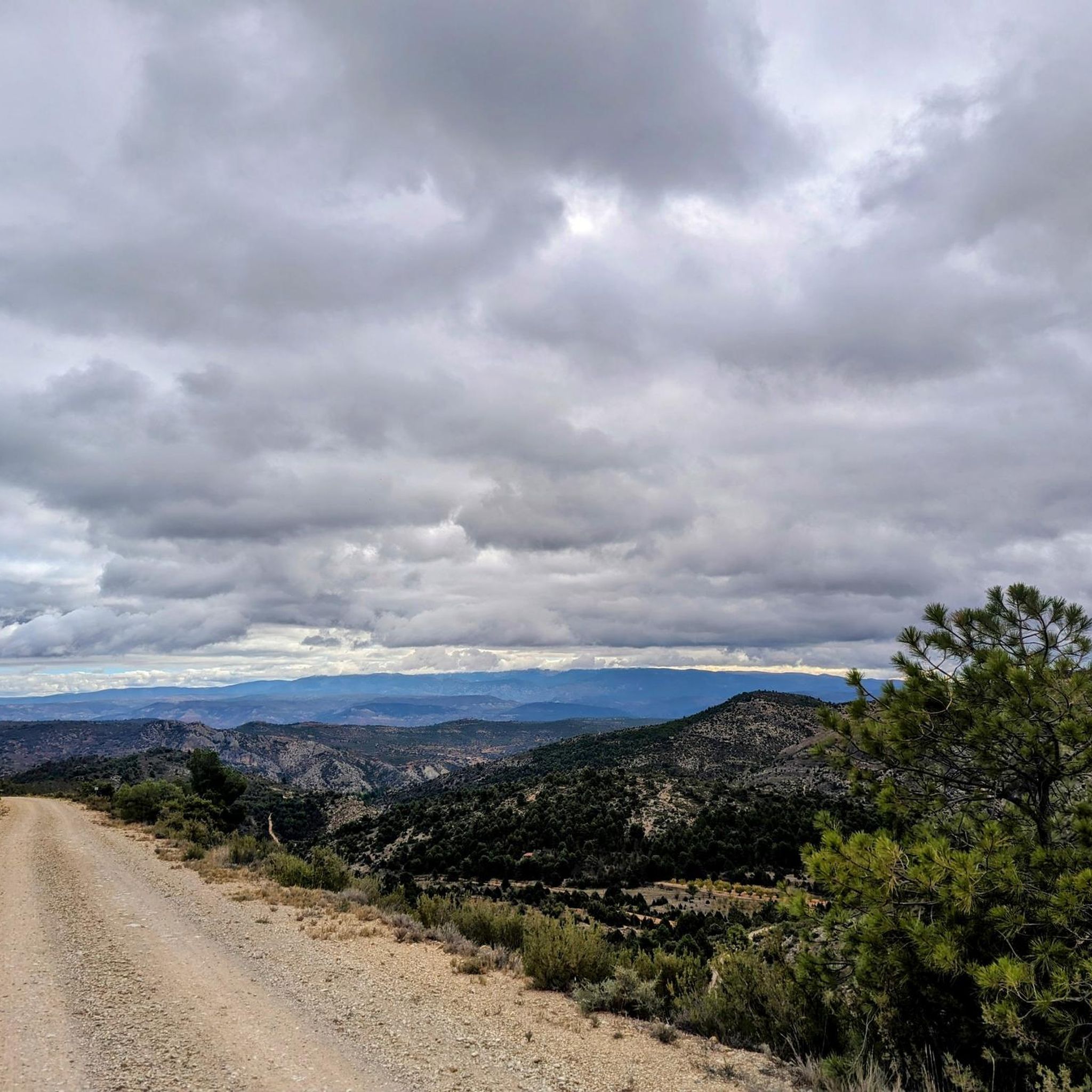
Jogging around Salvacañete offers exploration of the Serranía Baja of Cuenca, Spain, characterized by rugged landscapes and diverse natural features. The region's terrain varies significantly, from 1,150 meters along the Cabriel River to 1,629 meters at Peña del Ocejón, providing varied elevation for running. Pine, oak, and holm oak forests cover the mountains, offering scenic routes alongside the Cabriel River and its streams. This natural setting provides a refreshing atmosphere for outdoor physical activity.
Best jogging routes around Salvacañete
- The…
Last updated: June 28, 2026
3
runners
Moderate run. Good fitness required. Mostly accessible paths. Some sure footedness required.
11.4km
01:16
280m
280m
Moderate run. Good fitness required. Mostly paved surfaces. Suitable for all skill levels.

Sign up for free
5
runners
15.3km
01:58
400m
400m
Hard run. Very good fitness required. Mostly paved surfaces. Suitable for all skill levels.
3
runners
8.19km
01:00
120m
120m
Moderate run. Good fitness required. Mostly paved surfaces. Suitable for all skill levels.
3
runners
9.48km
01:04
190m
200m
Moderate run. Good fitness required. Mostly paved surfaces. Suitable for all skill levels.
Our route recommendations are based on thousands of hikes, rides, and runs completed by other people on komoot.
Start today with a free account
Your next adventure awaits.
Login or Signup

Other adventures around Salvacañete

Tips from the Community

The route descends from the CU-V-5003 road to the Algarra River, offering glimpses of it from within the valley. Along paths parallel to the river, you'll see orchards, tree plantations, and riverside land, some of which is also visible from the access roads and sides of the CU-V-5003.
2
0
The Cascada de la Herrería is a natural gem located in the Sierra de Albarracín, near the town of El Vallecillo. This beautiful waterfall, also known as the “Hidden Waterfall,” has a drop of approximately 8 meters over the Cabriel River. To reach the waterfall, you can follow a hiking route that begins in El Vallecillo. The route is short, just half a kilometer, and takes you through a varied and picturesque landscape. During the walk, you will also be able to see the natural springs known as the Ojos del Cabriel, which feed the river and the waterfall.
6
0

To be able to see the erosion that water causes on the limestone rock.
0
0

Beautiful waterfall that can be reached as the end point of the route that begins in El Vallecillo and passes through the eyes of Cabriel. However, due to its proximity to the road, it is common to see many people who come exclusively to visit it.
2
1
During the descent of the final section, you have to be careful because the ground is always wet and slippery.
2
0
In autumn, in addition to the springs, you can enjoy the changing color of the trees.
1
0
The route of the Ebrón river straits is located in one of the towns of Teruel that are the privileged custodians of an extraordinary natural emporium in the province.
11
0

Most beautiful canyon in the region
1
0
Frequently Asked Questions
What kind of terrain can I expect on running routes around Salvacañete?
The running routes in Salvacañete traverse the rugged landscapes of the Serranía Baja of Cuenca. You can expect varied terrain, from river valleys along the Cabriel River to mountainous sections with elevations ranging from 1,150 meters to 1,629 meters. The paths often lead through dense pine, oak, and holm oak woodlands, offering a natural and challenging experience.
Are there any easy running trails suitable for beginners in Salvacañete?
While Salvacañete's terrain is generally mountainous, the available routes are primarily moderate to difficult. There are no routes specifically categorized as easy in this guide. However, routes like the Ojos del Cabriel and cascada del Molino de San Pedro – circular by La Herrería Waterfall are moderate and relatively shorter at 7.5 km, which might be a good starting point for those looking for a less strenuous option.
Can I find circular running routes in the Salvacañete area?
Yes, several running routes around Salvacañete are designed as circular loops, allowing you to start and finish at the same point. Examples include the popular Ojos del Cabriel and cascada del Molino de San Pedro – circular by La Herrería Waterfall and the more challenging Calicanto Waterfall – Gorges of the Ebrón River loop from Tormón.
What natural attractions can I see while running near Salvacañete?
The region is rich in natural beauty. Many running routes will take you past stunning features like the Herrería Waterfall (also known as the “Hidden Waterfall”), the Ojos del Cabriel natural springs, and the dramatic Gorges of the Ebrón River. The Ojos del Cabriel and cascada del Molino de San Pedro – circular by La Herrería Waterfall route specifically highlights these features.
Are there any running routes that pass by historical or cultural landmarks?
Yes, some routes offer glimpses of local landmarks. For instance, the Jabalon and Ermita de San Cristobal - running from Jabaloyas route passes by a hermitage, providing a cultural point of interest amidst the natural scenery.
What is the typical duration for a running trail in Salvacañete?
The duration of running trails in Salvacañete varies depending on the route's length and difficulty. For example, the moderate Ojos del Cabriel and cascada del Molino de San Pedro – circular by La Herrería Waterfall takes approximately 54 minutes, while the more difficult Calicanto Waterfall – Gorges of the Ebrón River loop from Tormón can take around 1 hour and 58 minutes.
Are there any running routes that feature waterfalls?
Absolutely! Salvacañete is known for its beautiful waterfalls. The Ojos del Cabriel and cascada del Molino de San Pedro – circular by La Herrería Waterfall route specifically includes the notable Herrería Waterfall and San Pedro Mill Waterfall. Another option is the Calicanto Waterfall – Gorges of the Ebrón River loop from Tormón, which also features a stunning waterfall.
What are the elevation gains like on running trails in Salvacañete?
The running trails in Salvacañete are characterized by varied elevation gains due to the mountainous terrain. Routes can range from moderate climbs, such as the Running loop from Tejadillos with around 123 meters of ascent, to more significant challenges like the Calicanto Waterfall – Gorges of the Ebrón River loop from Tormón, which features nearly 400 meters of elevation gain.
What is the best time of year to go running in Salvacañete?
The region's climate is noted as cold and exposed to northern and western winds, suggesting a refreshing atmosphere for physical activity. While specific seasonal trail conditions are not detailed, the cooler temperatures might make spring and autumn ideal for running, avoiding the peak heat of summer. Winter running would likely require appropriate cold-weather gear.
How many running routes are available in the Salvacañete area?
There are 6 curated running routes available in the Salvacañete area, offering a range of experiences from moderate to difficult. These routes showcase the diverse landscapes of the Serranía Baja of Cuenca.
Are there any longer running routes for experienced runners?
Yes, for experienced runners seeking a longer challenge, the Calicanto Waterfall – Gorges of the Ebrón River loop from Tormón is a difficult 15.3 km trail that takes nearly two hours to complete, offering significant elevation changes and stunning river gorge scenery.
What kind of vegetation can I expect to see along the running trails?
The running trails in Salvacañete are surrounded by rich vegetation typical of the Serranía de Cuenca. You'll frequently encounter dense forests of pines, oaks, and holm oaks, along with various shrubs, providing picturesque and shaded sections for your run.
Most popular attractions around Salvacañete

Get inspired with the komoot mobile app


Explore more
Browse the best Running Trails & Routes in other regions.
