The best road cycling routes around Salvacañete
149
riders
19
rides
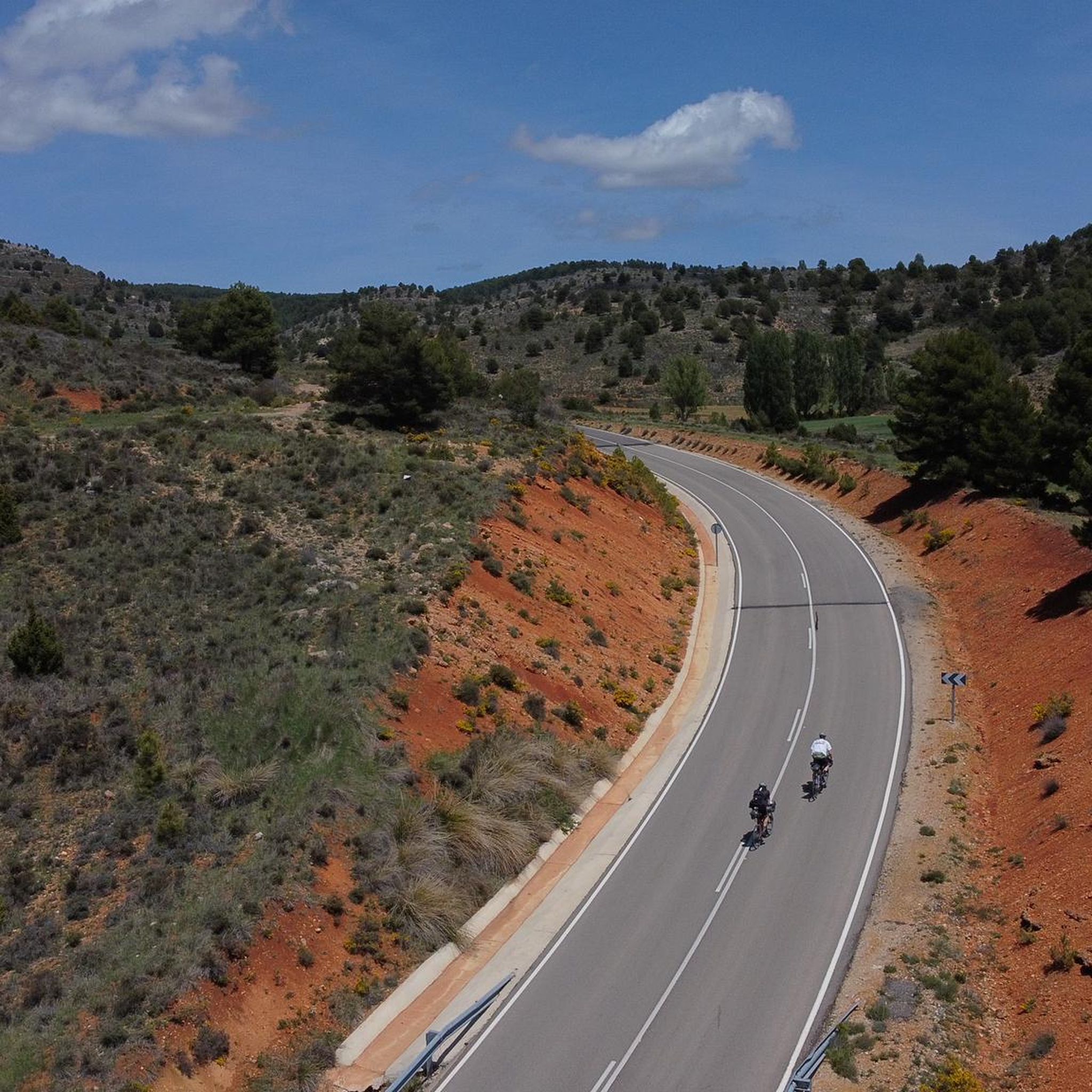
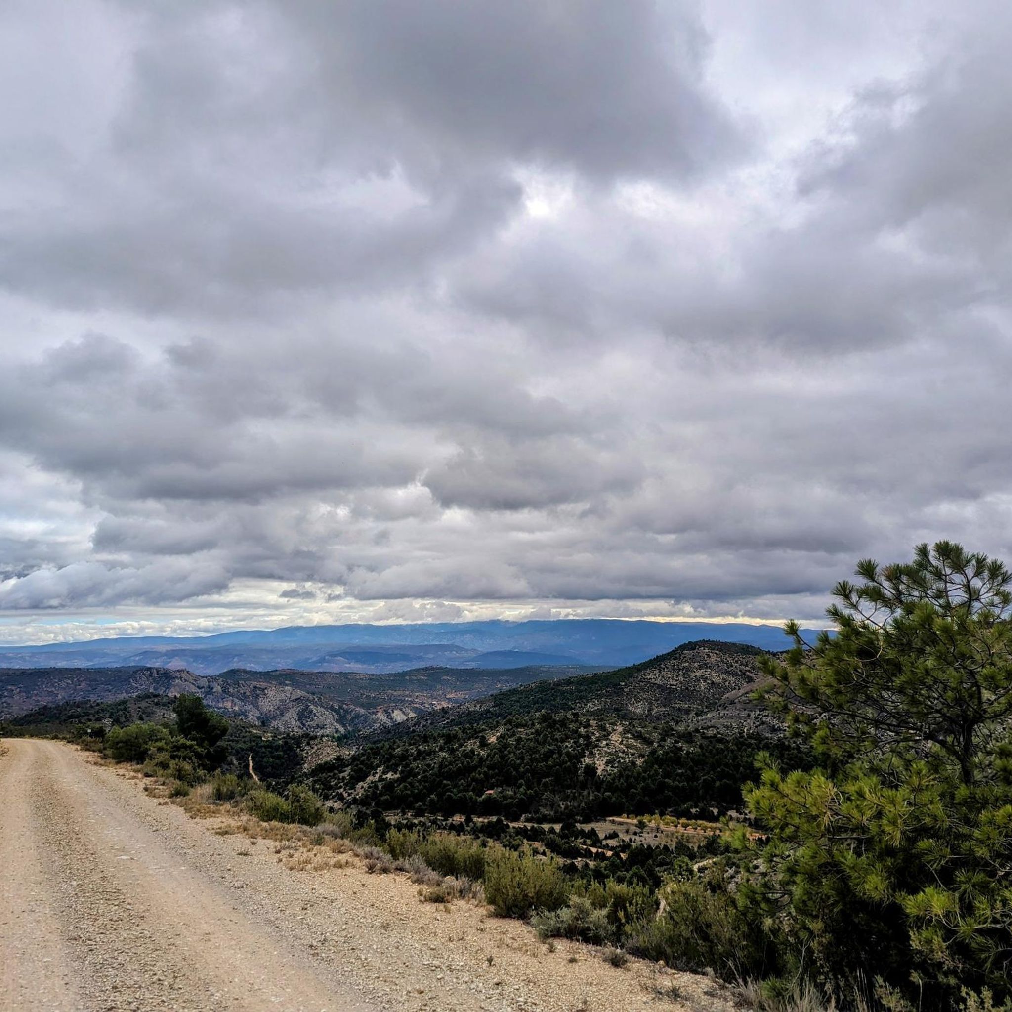
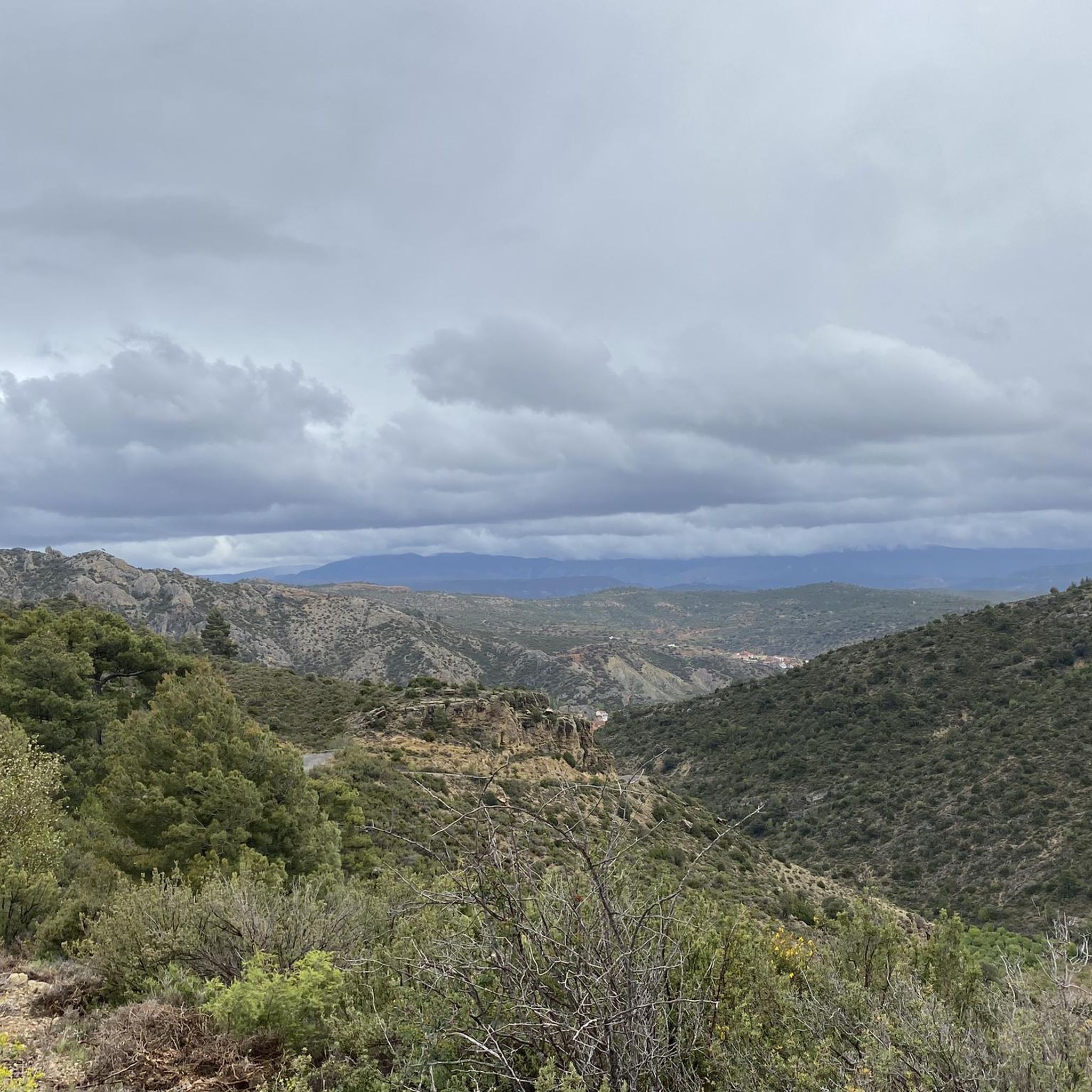
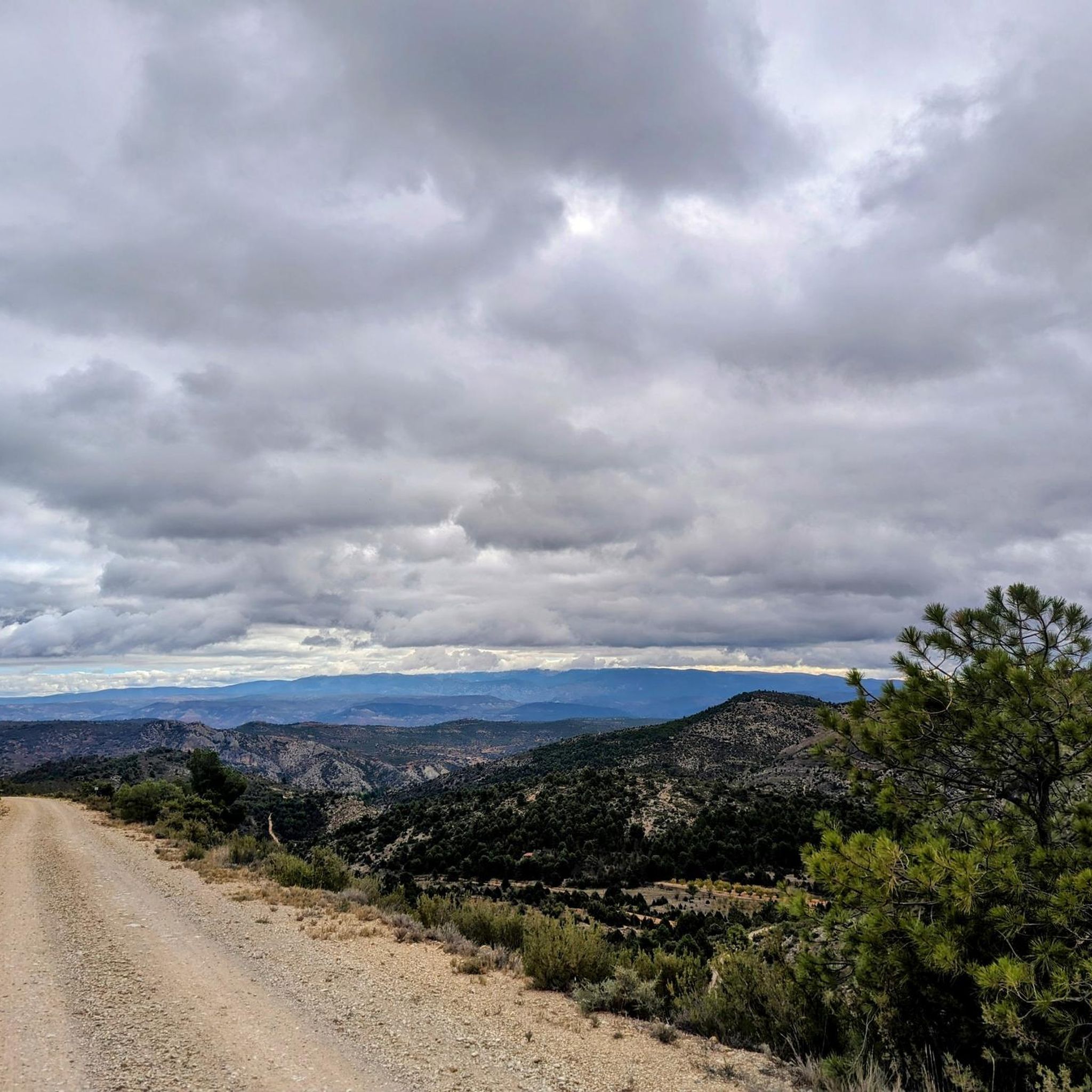
Road cycling routes around Salvacañete traverse the Serranía de Cuenca, a region characterized by diverse natural features. The landscape includes extensive pine forests, meandering rivers, and unique karstic formations sculpted by natural elements. Cyclists encounter varied terrain, from deep gorges to mountain passes, offering a range of experiences. This area provides a backdrop of natural beauty for road cycling.
Best road cycling routes around Salvacañete
- The most popular road cycling route is The Staircase of Teruel – Calicanto Waterfall loop from Alobras, a 67.8 miles (109.1 km) trail that takes 5 hours 22 minutes to complete. This route features significant elevation gain and passes by the Calicanto Waterfall.
- Another top favourite among local road cyclists is El Cubillo Pass – Forest House Refuge loop from Salvacañete, a difficult 80.1 miles (128.9 km) path. This route includes the El Cubillo Pass, offering mountain terrain and extensive forest sections.
- Local road cyclists also love the Albarracín Old Town – Albarracín loop from Alobras, a 59.5 miles (95.7 km) trail leading through historic towns and varied landscapes, often completed in about 4 hours 45 minutes.
- Road cycling around Salvacañete is defined by karstic landscapes, dense pine forests, and mountain passes. The network offers options for varied skill levels, though many routes are challenging.
- The guide includes highly-rated routes that showcase the best of the region's landscape. More than 130 road cyclists have used komoot to explore Salvacañete's varied terrain.
Last updated: July 11, 2026
21
riders
109km
05:23
1,470m
1,470m
Hard road ride. Very good fitness required. Some segments of this route may be unpaved and difficult to ride.
12
riders
129km
06:20
1,900m
1,900m
Hard road ride. Very good fitness required. Mostly well-paved surfaces and easy to ride.

Sign up for free
9
riders
95.8km
04:46
1,510m
1,510m
Hard road ride. Very good fitness required. Some segments of this route may be unpaved and difficult to ride.
9
riders
118km
05:41
1,620m
1,620m
Hard road ride. Very good fitness required. Some segments of this route may be unpaved and difficult to ride.
8
riders
76.1km
03:43
1,060m
1,060m
Hard road ride. Very good fitness required. Mostly well-paved surfaces and easy to ride.
Get access to more routes and recommendations from other explorers.
Sign up for free
Already have an account?
Our route recommendations are based on thousands of hikes, rides, and runs completed by other people on komoot.
Start today with a free account
Your next adventure awaits.
Login or Signup

Other adventures around Salvacañete

Tips from the Community

Beautiful place, the village, the castle, the church, everything!
0
1

The section of the A-1512 that starts in Albarracín and heads toward Noguera de Albarracín and Orihuela del Tremedal is known for its spectacular natural beauty. This route passes through gorges, dense pine and holm oak forests, and areas of outstanding scenic value such as the Tremedales de Orihuela, with unique features such as rocky rivers and peat bogs.
1
0
The official source of water is located at Fuente de García, in the Montes Universales, within the municipality of Frías de Albarracín (Teruel). It is located at an altitude of approximately 1,590 meters, surrounded by pine forests and high mountain meadows. Access is very easy and well signposted. Take the A-1704 highway, which connects Frías de Albarracín with Huélamo (Cuenca). From the highway, a paved detour of approximately 2 km takes you directly to the recreational area and the monument. There is free parking next to the monument.
10
0
Access is very easy and well signposted. Take the A-1704 highway, which connects Frías de Albarracín with Huélamo (Cuenca). From the highway, a paved detour of approximately 2 km takes you directly to the recreational area and the monument. There is free parking next to the monument.
5
0
The official source is located at Fuente de García, in the Montes Universales, within the municipality of Frías de Albarracín (Teruel). It is located at an altitude of approximately 1,590 meters, surrounded by pine forests and high mountain meadows.
5
0

It is a reference to the place where the longest river in Spain originates, stretching over 1,000 km and flowing into neighboring Portugal. These statues symbolize this point in the Albarracín mountain range.
8
0

Perfectly natural in a beautiful location.
4
0
Nice lap and quiet road
1
0
Frequently Asked Questions
How many road cycling routes are available around Salvacañete?
There are over 15 road cycling routes around Salvacañete, offering a variety of experiences. Most of these routes are considered challenging, with 6 moderate and 13 difficult options available.
What kind of terrain can I expect on road cycling routes in Salvacañete?
Road cycling routes in Salvacañete traverse the diverse landscapes of the Serranía de Cuenca. You can expect varied terrain, including extensive pine forests, winding rivers, and unique karstic formations. Routes often feature deep gorges, mountain passes, and a mix of paved roads and some gravel paths, providing a challenging and picturesque experience.
Are there any routes that pass by waterfalls or significant natural features?
Yes, several routes offer views of impressive natural features. For instance, the route The Staircase of Teruel – Calicanto Waterfall loop from Alobras passes by the Calicanto Waterfall. Other notable waterfalls in the region include the Herrería Waterfall and the San Pedro Mill Waterfall, while the Ojos del Cabriel offers beautiful river scenery.
Are there any long-distance road cycling routes for experienced riders?
Yes, Salvacañete offers several long-distance routes suitable for experienced riders. For example, El Cubillo Pass – Forest House Refuge loop from Salvacañete is a difficult 128.9 km path that includes the El Cubillo Pass and extensive forest sections. Another challenging option is Cardenete Castle – Old Boniches Road loop from El Cubillo, covering 116.2 km.
Can I find circular road cycling routes in the area?
Many of the road cycling routes around Salvacañete are designed as loops, allowing you to start and finish in the same location. Examples include The Staircase of Teruel – Calicanto Waterfall loop from Alobras, El Cubillo Pass – Forest House Refuge loop from Salvacañete, and Albarracín Old Town – Albarracín loop from Alobras.
What are some historical or cultural points of interest along the routes?
Beyond natural beauty, cyclists can encounter picturesque villages and historic towns. The route Albarracín Old Town – Albarracín loop from Alobras leads through historic towns and varied landscapes. The Old Town of Moya is another notable example in the region, offering a cultural glimpse into the past.
Is Salvacañete suitable for family-friendly road cycling?
While Salvacañete offers diverse cycling routes, many are considered challenging with significant elevation gain. There are no easy road cycling routes listed, but there are 6 moderate options. Families with older, experienced cyclists might find suitable routes, but those seeking very easy, flat paths may find options limited.
What is the best time of year for road cycling in Salvacañete?
The Serranía de Cuenca region, where Salvacañete is located, offers varied conditions. Generally, spring and autumn provide pleasant temperatures for cycling, avoiding the intense heat of summer and the colder, potentially snowy conditions of winter in this mountainous area. Always check local weather forecasts before your ride.
Are there any routes that are part of larger bikepacking trails?
Yes, a section of the renowned 'Empty Mountains' (Montañas Vacías) bikepacking route passes through the Serranía de Cuenca. This route is known for its tranquility, vast pine forests, and historic towns, offering adaptable distances for bikepacking enthusiasts. You can find a highlight for Montañas Vacías (section) in the area.
What can I expect regarding elevation on Salvacañete's road cycling routes?
Road cycling routes around Salvacañete are characterized by significant elevation changes, reflecting the mountainous terrain of the Serranía de Cuenca. For example, El Cubillo Pass – Forest House Refuge loop from Salvacañete features an elevation gain of over 1890 meters, while The Staircase of Teruel – Calicanto Waterfall loop from Alobras has an elevation gain of nearly 1470 meters.
Are there any moderate difficulty road cycling routes available?
Yes, while many routes are difficult, there are 6 moderate road cycling routes around Salvacañete. These routes offer a good balance of challenge and accessibility for riders looking for a less intense experience than the most difficult options, but still providing a rewarding ride through the region's landscapes. An example of a difficult route that might be considered for its length is Río de la Laguna – Cañete loop from El Cubillo, which is 76 km long.
Most popular attractions around Salvacañete

Get inspired with the komoot mobile app


Explore more
Browse the best Road cycling routes in other regions.
