The best MTB trails around Salvacañete
4.2
(4)
68
riders
11
rides
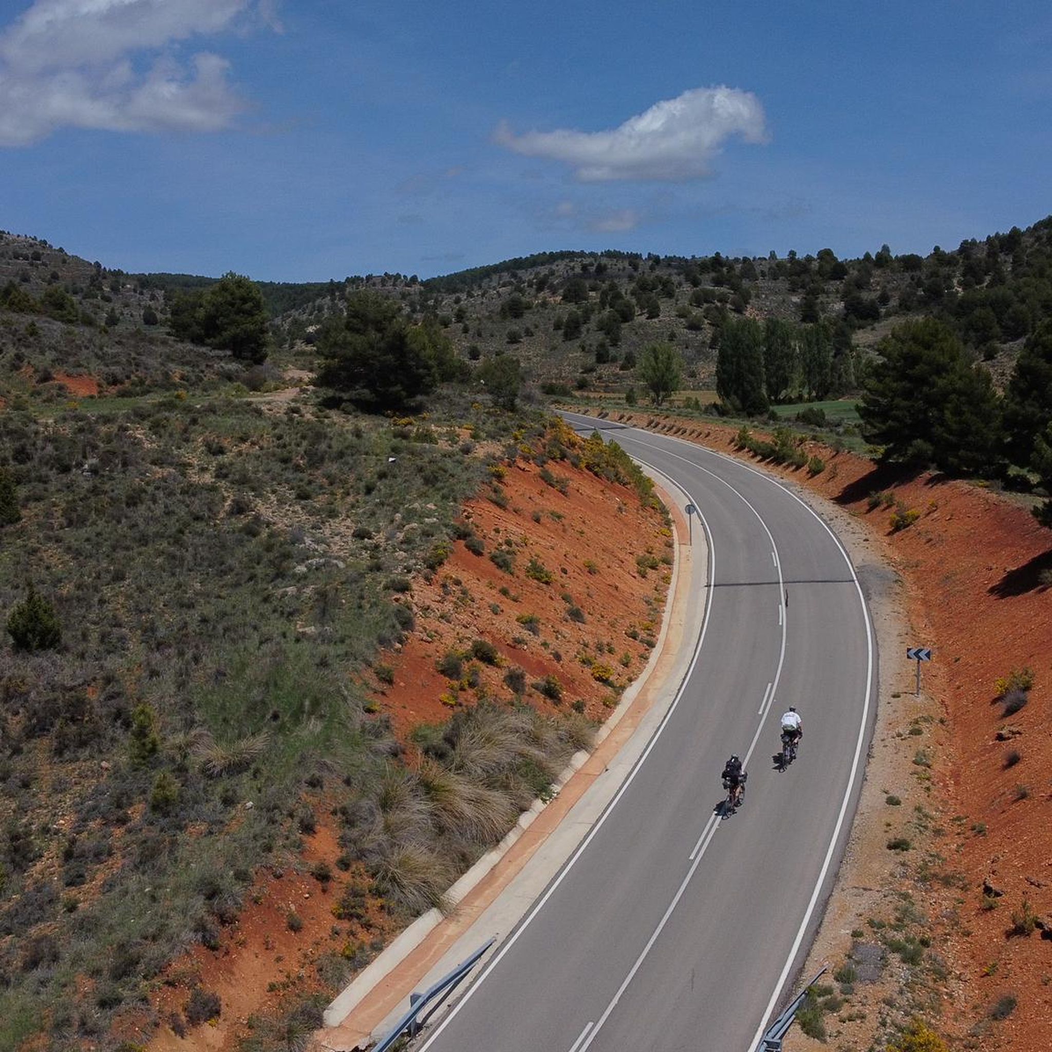
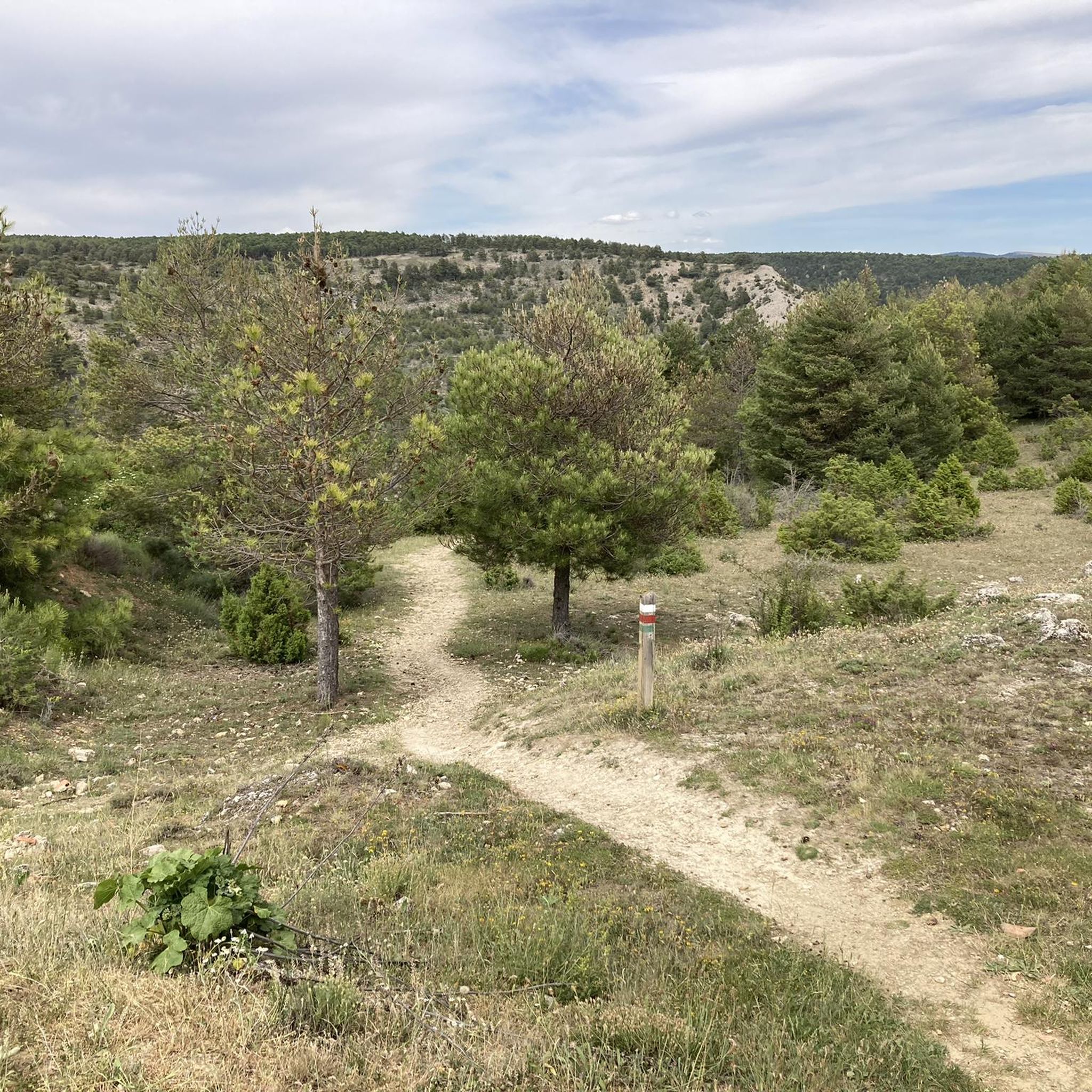
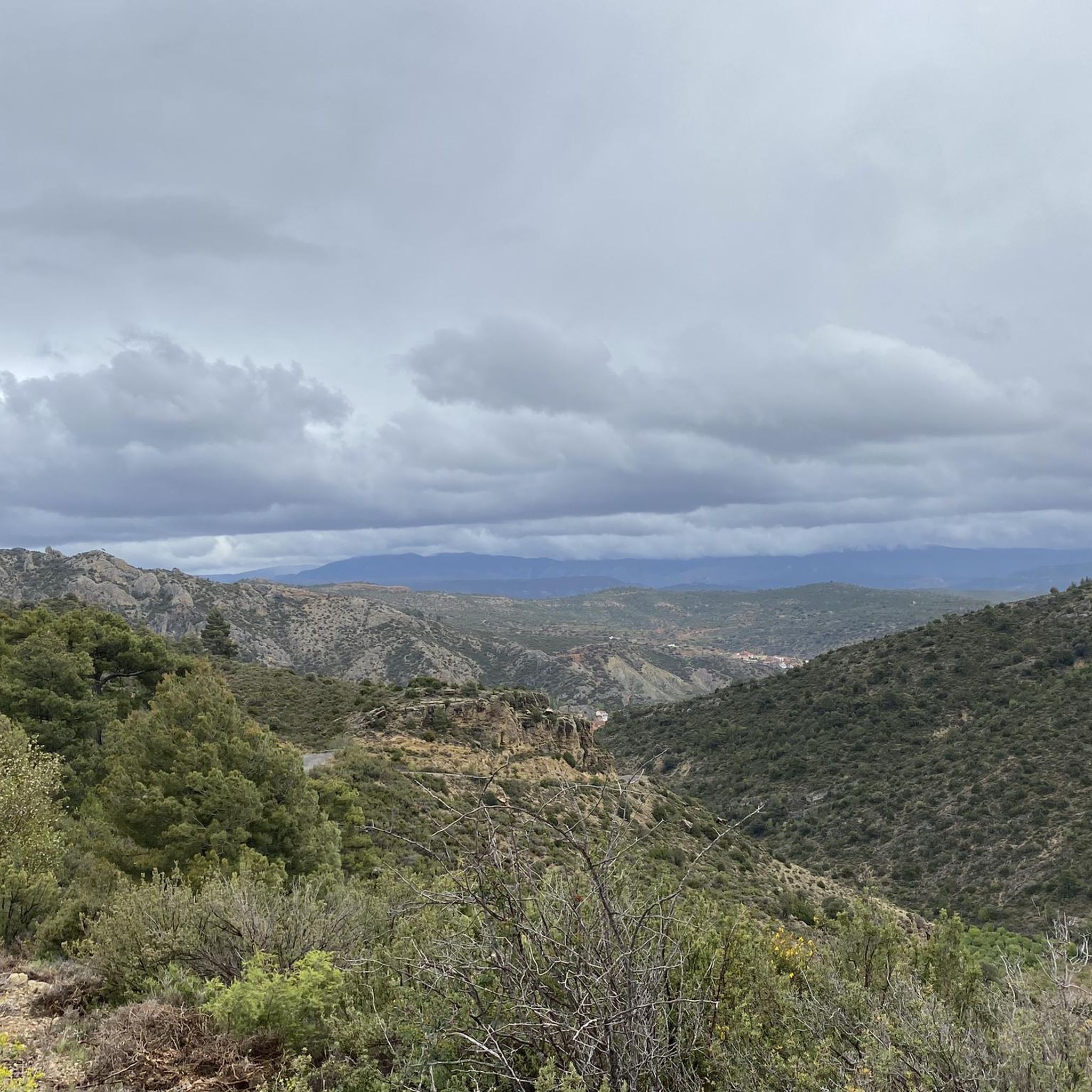
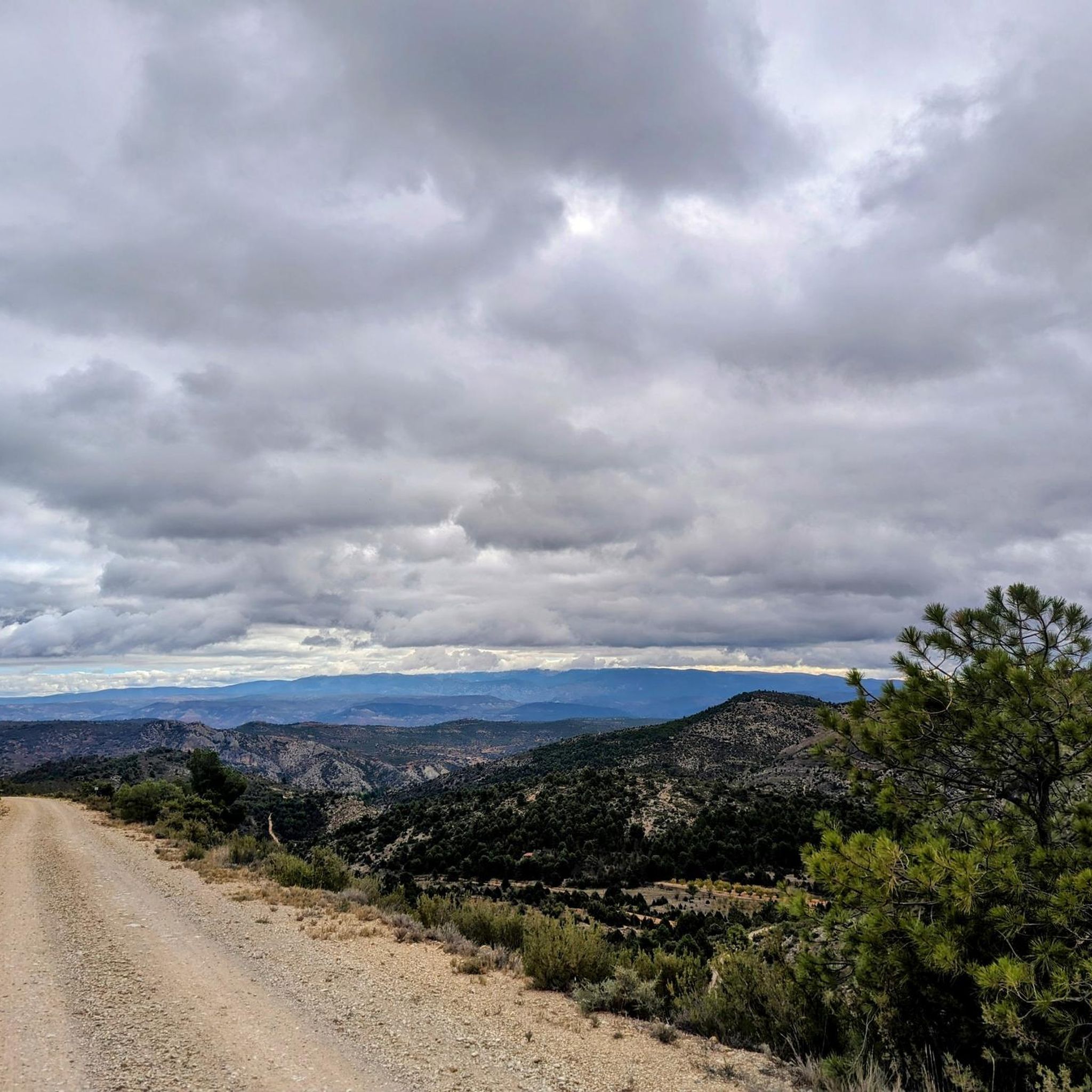
Mountain biking around Salvacañete offers diverse and rugged natural landscapes within the Serranía Baja of Cuenca, Spain. The region features highly uneven terrain, dominated by mountains such as Peña del Ocejón and Modorro, with altitudes varying significantly. Dense forests of pines, oaks, and holm oaks cover the landscape, while the pristine Cabriel River flows through the municipality, accompanied by numerous streams. This combination provides a mix of challenging climbs, technical descents, and scenic routes for mountain bikers.
Best mountain bike…
Last updated: June 28, 2026
4.5
(2)
3
riders
26.2km
02:34
550m
550m
Moderate mountain bike ride. Good fitness required. Advanced riding skills necessary.
2
riders
29.4km
02:41
640m
640m
Moderate mountain bike ride. Good fitness required. Advanced riding skills necessary.

Sign up for free
24
riders
47.9km
05:03
1,290m
1,300m
Hard mountain bike ride. Very good fitness required. Suitable for all skill levels.
10
riders
109km
08:24
1,880m
1,880m
Hard mountain bike ride. Very good fitness required. Suitable for all skill levels.
3.0
(1)
10
riders
56.7km
05:21
1,240m
1,230m
Hard mountain bike ride. Very good fitness required. Advanced riding skills necessary.
Get access to more routes and recommendations from other explorers.
Sign up for free
Already have an account?
Our route recommendations are based on thousands of hikes, rides, and runs completed by other people on komoot.
Start today with a free account
Your next adventure awaits.
Login or Signup

Other adventures around Salvacañete

Tips from the Community

At the edge of the small village of Zafrilla, we find an old washhouse, a fountain, and some barbecues used by the locals for leisure. Perhaps it could benefit from some shade to keep the sun out directly.
9
0
This section is before reaching Zafrilla and before and after it. I confess that the slope is tough and, especially if you do it on a hot day, you will have to take refuge (as was my case) in the shadows of the few scrubland trees to cope with the difficulty.
9
0
This small town has two small rivers, called the Laguna River and the Tejadillos River, which flow through a large orchard near the town, abundant with hazel trees and willows.
9
0
A small town in the province of Cuenca with a very small population, barely 30 residents. It is located in the Serranía Baja region of the province of Cuenca and is just six kilometers from the town of Huerta del Marquesado.
9
0
Just as we leave Zafrilla heading towards the mountains, as well as leaving the asphalt road, we cross a ford of the village stream, along whose bank lies a stone bridge of possible Roman origin, although it is more likely of later date, but it is striking for its design and its fairly good state of preservation. It is currently closed to vehicle traffic.
7
0
We're in the town of Zafrilla, and in the lower part of the village, there's a spring or fountain near some old washhouses where women used to go to wash clothes. These are now preserved as a reminder of the past, although no one goes there to wash clothes anymore. There are also barbecues for spending a day outdoors.
8
0
Little is known about this church, which is in a lamentable state of preservation and is dedicated to Saint Bartholomew, but whose remains are most likely supported by another building of Muslim origin. It possibly dates back to the 16th or 17th century.
8
0

The Cascada de la Herrería is a natural gem located in the Sierra de Albarracín, near the town of El Vallecillo. This beautiful waterfall, also known as the “Hidden Waterfall,” has a drop of approximately 8 meters over the Cabriel River. To reach the waterfall, you can follow a hiking route that begins in El Vallecillo. The route is short, just half a kilometer, and takes you through a varied and picturesque landscape. During the walk, you will also be able to see the natural springs known as the Ojos del Cabriel, which feed the river and the waterfall.
6
0
Frequently Asked Questions
How many mountain bike trails are there around Salvacañete?
There are 9 mountain bike trails around Salvacañete listed on komoot, offering a range of experiences from moderate to difficult.
What kind of terrain can I expect on mountain bike trails in Salvacañete?
The terrain around Salvacañete is highly varied and rugged, characterized by mountains such as Peña del Ocejón and Modorro. You'll encounter significant elevation changes, deep river gorges, and dense forests of pines, oaks, and holm oaks. This provides a mix of challenging climbs and technical descents.
Are there any mountain bike trails that feature waterfalls or rivers?
Yes, the region is rich in water features. The Ojos del Cabriel, Herrería and San Pedro Waterfalls Loop is a moderate 16.3-mile trail that explores the pristine Cabriel River and passes by the scenic Herrería Waterfall and San Pedro Mill Waterfall.
Are there any circular mountain bike routes in the area?
Yes, many of the trails around Salvacañete are designed as loops. For example, the Pico Javalón and Ermita de San Cristóbal Loop is a moderate 18.2-mile route that offers great views, and the Picnic Area with Barbecues – Jabaloyas loop from Jabaloyas is a longer, difficult 29.8-mile option.
What is the best time of year for mountain biking in Salvacañete?
The region experiences significant altitude variations, so spring and autumn generally offer the most pleasant temperatures for mountain biking. Summers can be hot, especially at lower elevations, while winters can bring cold weather and snow to higher mountainous areas.
What do other mountain bikers enjoy most about Salvacañete?
The trails around Salvacañete are highly rated by the komoot community, with an average score of 3.75 stars. Reviewers often praise the diverse and rugged natural landscapes, the challenging climbs, and the scenic beauty of the river gorges and dense forests.
Are there any particularly challenging mountain bike routes for experienced riders?
Yes, Salvacañete offers several difficult routes for experienced riders. The Bar La Pulga – Montañas Vacías (section) loop from Salvacañete is a demanding 67.6-mile (108.8 km) trail with significant elevation gain, and the Stone bridge – Spring and washhouse loop from El Vallecillo is another difficult option spanning 35.2 miles (56.7 km).
Are there any family-friendly mountain bike options in the Salvacañete area?
While many trails in Salvacañete feature uneven and mountainous terrain, making them more suitable for experienced riders, some sections or shorter routes might be manageable for families with older children who are comfortable with moderate climbs and descents. Always check the route's difficulty and elevation profile before setting out.
Can I bring my dog on the mountain bike trails?
The natural environment of Salvacañete is generally dog-friendly, with many trails passing through forests and along rivers. However, it's always advisable to keep dogs on a leash, especially in areas with wildlife or near livestock, and to check for any specific local regulations or protected areas that might restrict access for dogs.
What natural attractions can I explore near the mountain bike trails?
Beyond the trails, the region boasts several natural attractions. You can visit the Ojos del Cabriel, the source of the Cabriel River, or the picturesque Calicanto Waterfall. The Serranía de Cuenca area also features fascinating geological formations like the Ciudad Encantada (Enchanted City) and viewpoints such as Ventano del Diablo.
Is there public transport or parking available for accessing the trails?
Salvacañete is a small municipality, and public transport options are limited. It is generally recommended to access the trails by car. Parking is typically available within the town or at designated trailheads, but it's always good to check specific starting points for parking availability.
Most popular attractions around Salvacañete

Get inspired with the komoot mobile app


Explore more
Browse the best MTB trails in other regions.
