The 20 Most Amazing Peaks around San Bartolomé De Tirajana
Best mountain peaks around San Bartolomé De Tirajana are found in the southern part of Gran Canaria, characterized by a diverse mountainous landscape. This region features dramatic volcanic formations, deep ravines, and steep cliffs. It offers a blend of natural beauty, historical significance, and archaeological sites, providing insight into the island's geological and cultural heritage. The area is ideal for exploring varied terrain and panoramic viewpoints.
Best mountain peaks around San Bartolomé De Tirajana
- The most popular mountain peaks is…
Last updated: June 29, 2026
Roque Nublo
Highlight • Natural Monument
Showing Translation
Tip by

Pico de las Nieves summit
Highlight • Summit
Translated by Google •
Tip by

Sign up now to discover places like this
Get recommendations on the best single tracks, peaks, & plenty of other exciting outdoor places.
Sign up for free
Pico Campanario (1,917 m)
Highlight • Summit
The ascent is worthwhile, e.g. on the way …
Translated by Google •
Tip by

Roque Bentayga
Highlight • Natural Monument
The Bentayga …
Translated by Google •
Tip by

Cima Pedro González (490 m)
Highlight • Mountain Pass
Highlights recommended for cyclists with road bikes (excellent asphalt) but also doable on foot as I did, given the very little car traffic.
Translated by Google •
Tip by

Sign up for free to discover even more peaks around San Bartolomé De Tirajana.
Sign up for free
Already have an account?
Start today with a free account
Your next adventure awaits.
Login or Signup
Popular around San Bartolomé De Tirajana
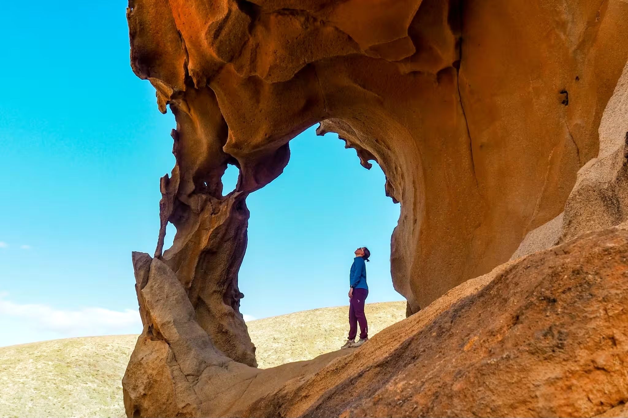
Canary Islands at a slow pace – six hikes immersed in nature
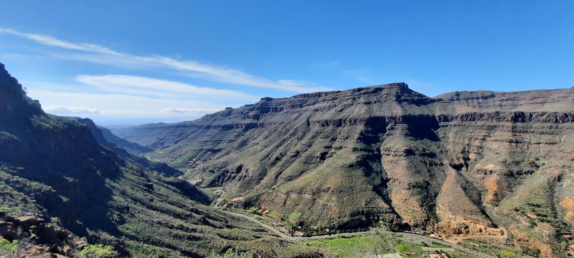
The challenge of the year — Transgrancanaria Classic
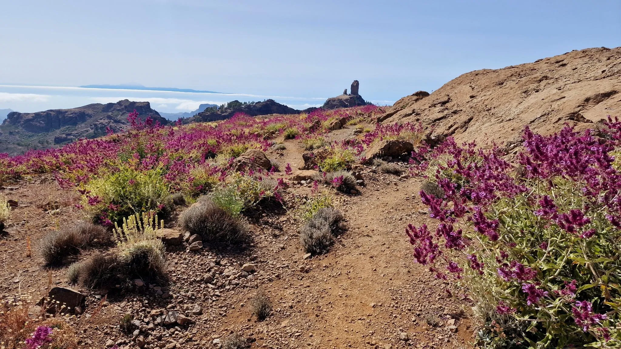
An island of contrasts – crossing Gran Canaria
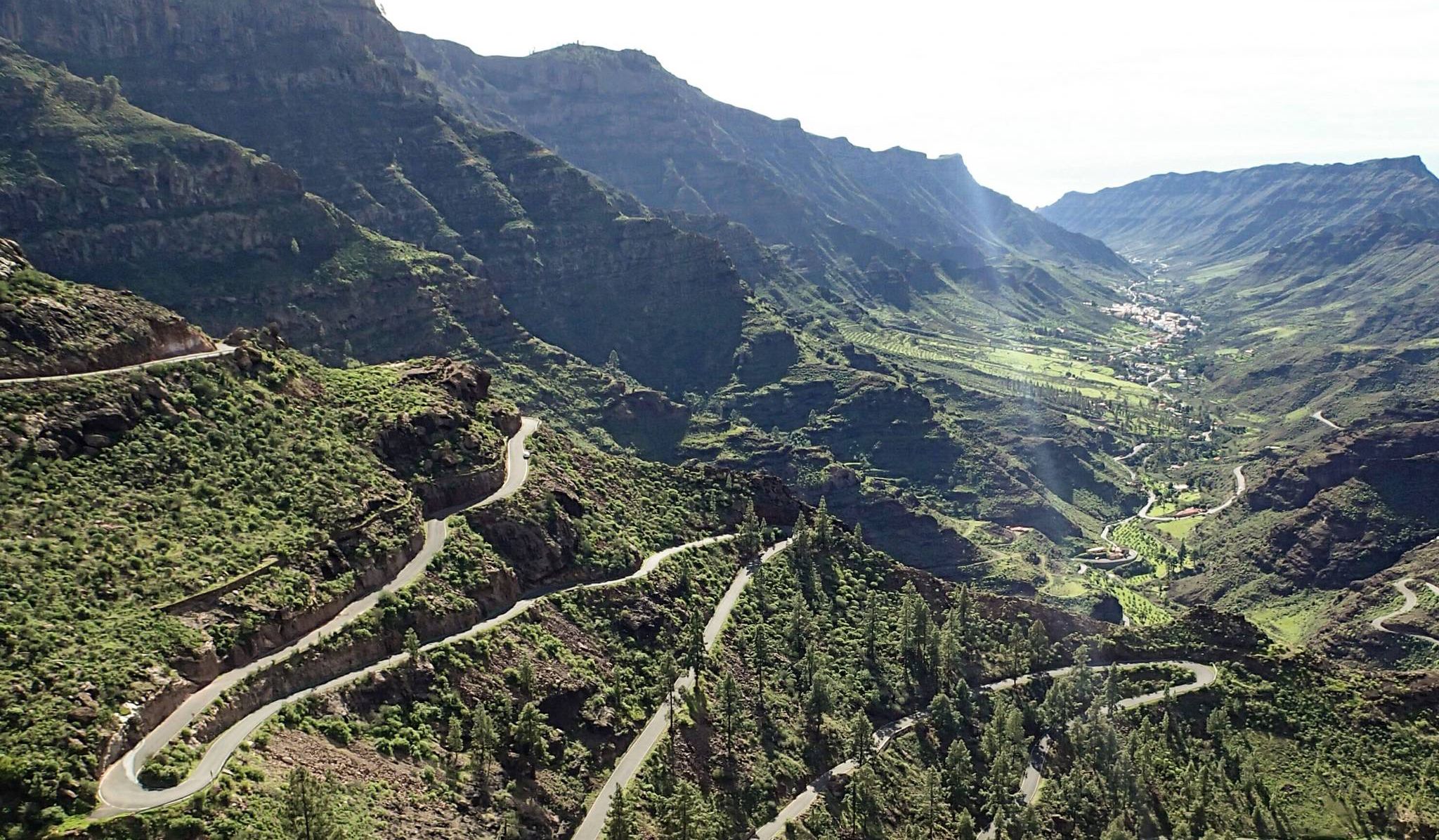
Escape to the south — road cycling in Gran Canaria
Road Cycling Routes around San Bartolomé De Tirajana
Cycling around San Bartolomé De Tirajana
Hiking around San Bartolomé De Tirajana
Running Trails around San Bartolomé De Tirajana
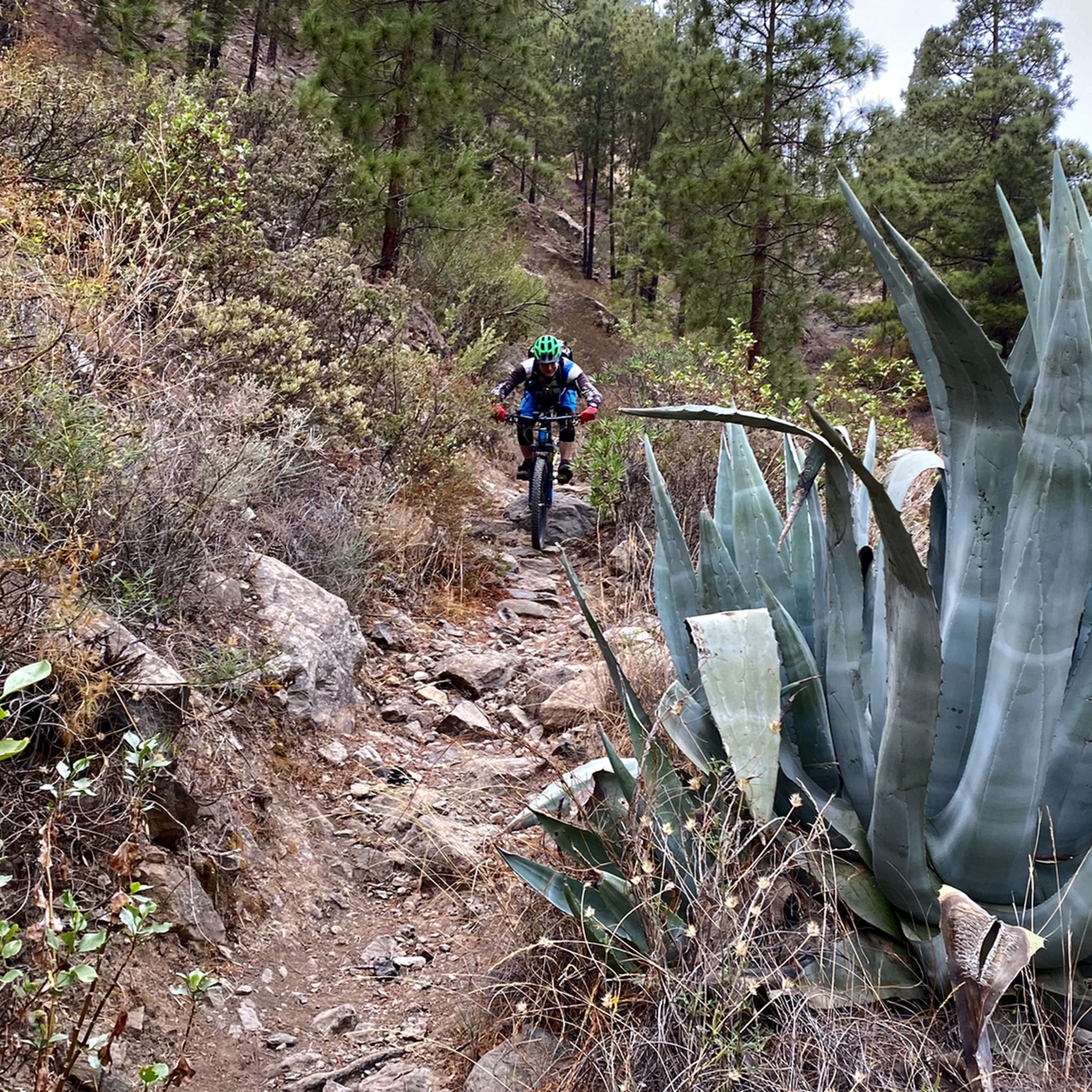
MTB Trails around San Bartolomé De Tirajana

Gravel biking around San Bartolomé De Tirajana
Other adventures around San Bartolomé De Tirajana


Tips from the Community

Cima Pedro González offers a scenic climb popular with cyclists and climbers. The route along Monte León is approximately 8.2 km long, with an average gradient of 5.3% and steeper sections reaching up to 13.2%. The climb ascends 440 meters, finishing at an altitude of 490 meters above sea level. Often used as a descent from the Ayagaures climb, tackling it uphill rewards you with breathtaking views of the valley and surrounding landscape. This climb is known to be challenging at the start, but becomes more manageable after the initial steep sections. The road, CG-503, offers a combination of moderate difficulty and stunning scenery, making it a hidden gem for cyclists exploring the varied terrain of Gran Canaria.
0
0

We almost missed the turnoff, but luckily we just went up – and it was worth it! Good handholds and footholds are available for the final climbs.
0
0

Great panoramic view from above
0
0

Peak of 490 meters above sea level that is a few km from Maspalomas. Highlights recommended for cyclists with road bikes (excellent asphalt) but also doable on foot as I did, given the very little car traffic.
1
0

The archaeological hiking trail on the Roque Bentayga offers not only a museum and great views but also impressions of the historical religious place of worship.
0
0
There is a free visitor center at Roque Bentayga - with parking. From there you can walk up the Bentaga in a few minutes, which was used as a religious place of worship. Great views from this impressive and historic mountain in the middle of the crater. Hikers should note that the access road is only open during opening hours. There are two barriers that are otherwise closed. Below the first barrier there are some parking spaces at the road junction.
0
0

A worthwhile summit with a fantastic view. Be sure to climb and enjoy!
1
0

The beautifully situated “Pedro González” pass road lies between the small, tranquil town of Ayagaures with two beautifully situated reservoirs and the village of Punta de la Guancha. The pass is named after Pedro González, a deceased Spanish sports reporter who, among other things, commented on the major tours for Spanish television.
0
0
Frequently Asked Questions
What are the most iconic mountain peaks to visit in San Bartolomé De Tirajana?
The region is home to several iconic peaks. Don't miss Roque Nublo, a striking basalt rock formation and a symbol of Gran Canaria. Another must-see is Pico de las Nieves summit, the island's highest point offering panoramic views. Also, Roque Bentayga is notable for its distinctive monolith and archaeological significance.
What kind of natural features can I expect to see around the mountain peaks?
The mountainous landscape of San Bartolomé De Tirajana is characterized by dramatic volcanic formations, deep ravines, and steep cliffs. You'll encounter unique rock formations like the basalt pillar of Roque Nublo, and the ancient caldera of Tirajana. Areas like Ayagaures feature rich pine tree reserves, including the ancient Pino de Pilancones, and picturesque dams and reservoirs.
Are there any family-friendly mountain walks in the area?
Yes, some areas offer more accessible options. The trail to Roque Nublo is generally considered an easy hike, making it popular for families. While Pico de las Nieves summit is the highest point, the viewing platform is easily accessible, and the drive up offers scenic stops suitable for all ages.
What historical or cultural sites are associated with the mountain peaks?
Several peaks hold significant historical and cultural value. Roque Nublo was a sacred site for the indigenous Guanche people. Roque Bentayga is known for its archaeological remains and was a pre-Hispanic religious center, with a visitor center providing insights into the island's heritage. The Caldera de Tirajana also contains important archaeological sites like Las Fortalezas de Ansite.
What are the highest peaks in San Bartolomé De Tirajana?
The highest peak on Gran Canaria, located within this region, is Pico de las Nieves summit, reaching 1,949 meters (6,394 feet). Other notable high points include Pico Campanario (1,917 m) and Roque Nublo at 1,813 meters (5,948 feet).
Are there challenging mountain climbs for experienced hikers?
Yes, for experienced hikers seeking a challenge, peaks like Pico Campanario (1,917 m) and Montaña del Aserrador offer rewarding, albeit sometimes less clearly marked, ascents with scrambling sections and stunning views. These trails are often described as tough and best suited for those with proper gear and experience.
What outdoor activities can I do near these mountain peaks?
Beyond hiking, the region around San Bartolomé De Tirajana offers diverse outdoor activities. You can explore numerous running trails, including coastal routes and dune walks, as detailed in the Running Trails around San Bartolomé De Tirajana guide. For cyclists, there are extensive gravel biking routes and challenging MTB trails, which you can find in the Gravel biking around San Bartolomé De Tirajana and MTB Trails around San Bartolomé De Tirajana guides.
What are the best viewpoints for panoramic scenery?
Many peaks offer breathtaking panoramic views. Pico de las Nieves summit provides unparalleled 360-degree views of the entire island, and on clear days, you can even see Tenerife and Mount Teide. Roque Nublo and Pico Campanario also offer fantastic vistas of the island's interior, valleys, and distant mountains.
Is there parking available at the popular mountain peak trailheads?
Yes, for popular sites like Pico de las Nieves summit and Roque Bentayga, parking is generally available. Roque Bentayga, for instance, has a free visitor center with parking. It's always advisable to arrive early, especially during peak season, to secure a spot.
What is the best time of year to visit the mountain peaks in San Bartolomé De Tirajana?
The region can be visited year-round, but conditions vary. While the coast enjoys mild temperatures, the higher peaks, like Pico de las Nieves, can be significantly cooler and even experience snow in winter. Clear days offer the best panoramic views, so checking the weather forecast before heading to the summits is recommended. Spring and autumn often provide pleasant hiking temperatures.
What makes the Ayagaures area unique for nature lovers?
Ayagaures, located in Pilancones Natural Park, is renowned for its rich and varied pine tree reserves, including the ancient Pino de Pilancones, one of Spain's oldest Pinus Canariensis. The area features deep valleys, rocky ridges, and the picturesque Ayagaures dam and reservoir, surrounded by palm and dragon trees. It's an excellent location for hiking and photography, offering tranquility and natural beauty.
What do visitors enjoy most about the mountain peaks in San Bartolomé De Tirajana?
Visitors consistently praise the breathtaking panoramic views, especially from Pico de las Nieves and Roque Nublo. The unique geological formations, like the striking basalt of Roque Nublo, are also a major draw. Many appreciate the sense of escape and connection with nature, as well as the historical and cultural insights offered by sites like Roque Bentayga.
Most popular routes around San Bartolomé De Tirajana
Most popular attractions around San Bartolomé De Tirajana

Get inspired with the komoot mobile app


Explore more
See even more amazing summits around San Bartolomé De Tirajana with these guides:
