The best road cycling routes around San Bartolomé De Tirajana
4.5
(1914)
83,333
riders
61
rides
Road cycling routes around San Bartolomé de Tirajana offer diverse and dramatic landscapes in the south of Gran Canaria. The region features a combination of coastal areas, rugged inland mountains, and deep ravines, providing varied terrain for cyclists. Road conditions are generally good, supporting a smooth riding experience across different environments, from arid semi-desert to greener, more dramatic scenery as routes ascend towards the island's volcanic center.
Best road cycling routes around San Bartolomé de Tirajana
- The most popular road…
Last updated: August 23, 2026
4.6
(270)
6,263
riders
Moderate road ride. Good fitness required. Mostly well-paved surfaces and easy to ride.
4.7
(80)
5,013
riders
Hard road ride. Very good fitness required. Mostly well-paved surfaces and easy to ride.

Sign up for free
4.5
(148)
5,281
riders
55.6km
02:37
720m
720m
Moderate road ride. Good fitness required. Mostly well-paved surfaces and easy to ride.
4.7
(62)
4,110
riders
109km
05:55
2,240m
2,240m
Hard road ride. Very good fitness required. Mostly well-paved surfaces and easy to ride.
4.6
(141)
4,044
riders
47.3km
02:26
750m
750m
Moderate road ride. Good fitness required. Mostly well-paved surfaces and easy to ride.
Get access to more routes and recommendations from other explorers.
Sign up for free
Already have an account?
Our route recommendations are based on thousands of hikes, rides, and runs completed by other people on komoot.
Start today with a free account
Your next adventure awaits.
Login or Signup
Popular around San Bartolomé De Tirajana
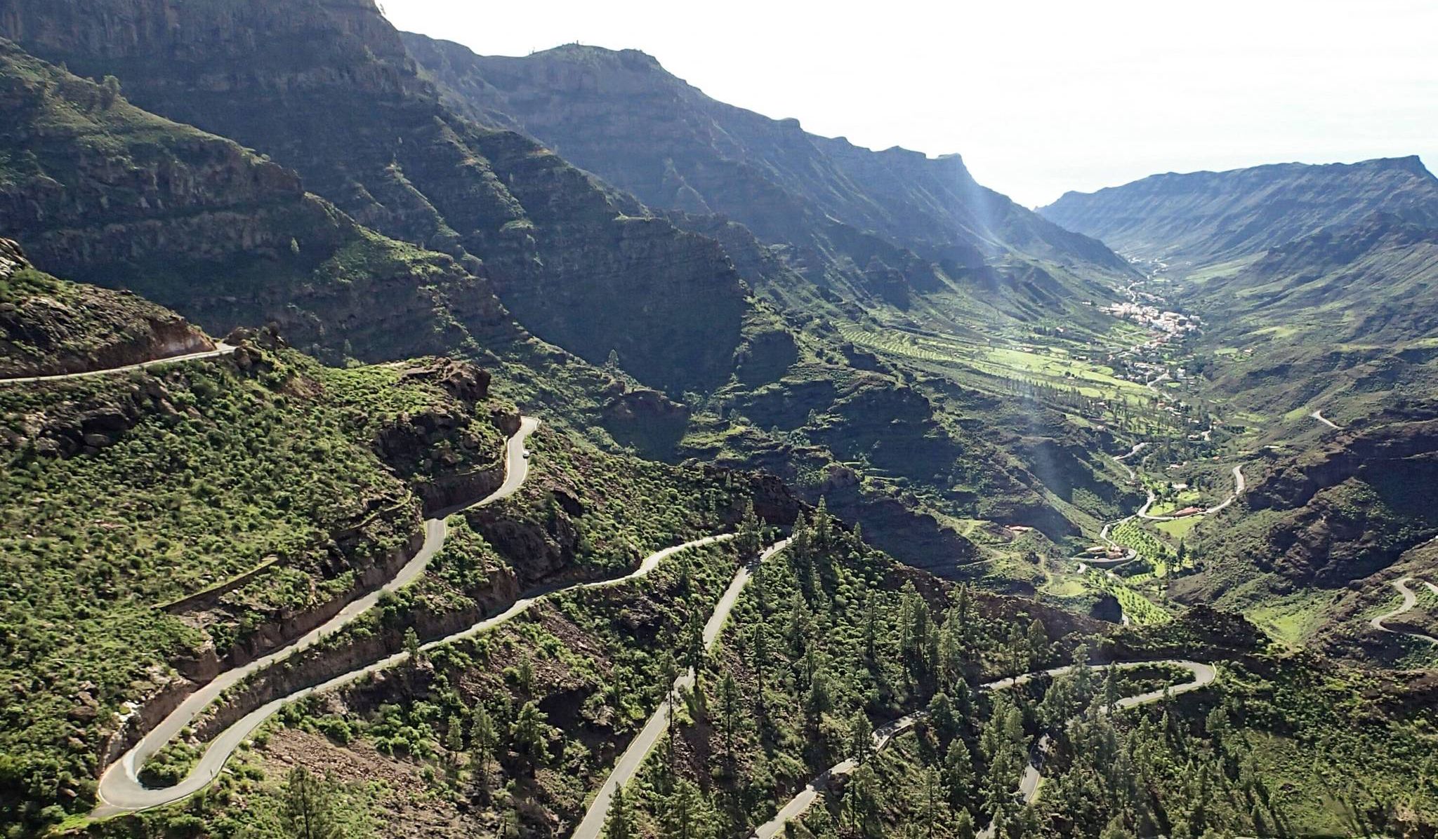
Escape to the south — road cycling in Gran Canaria
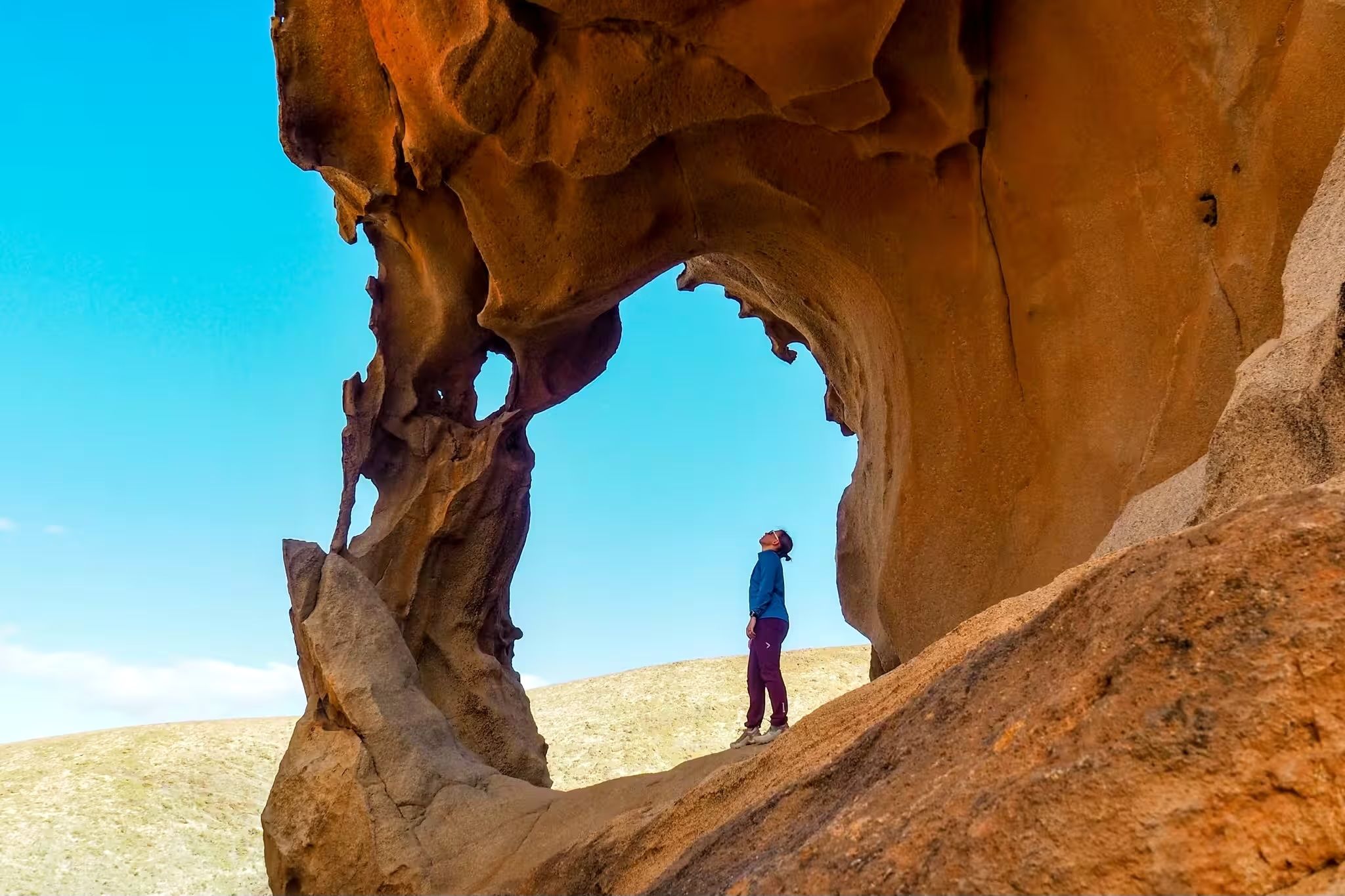
Canary Islands at a slow pace – six hikes immersed in nature
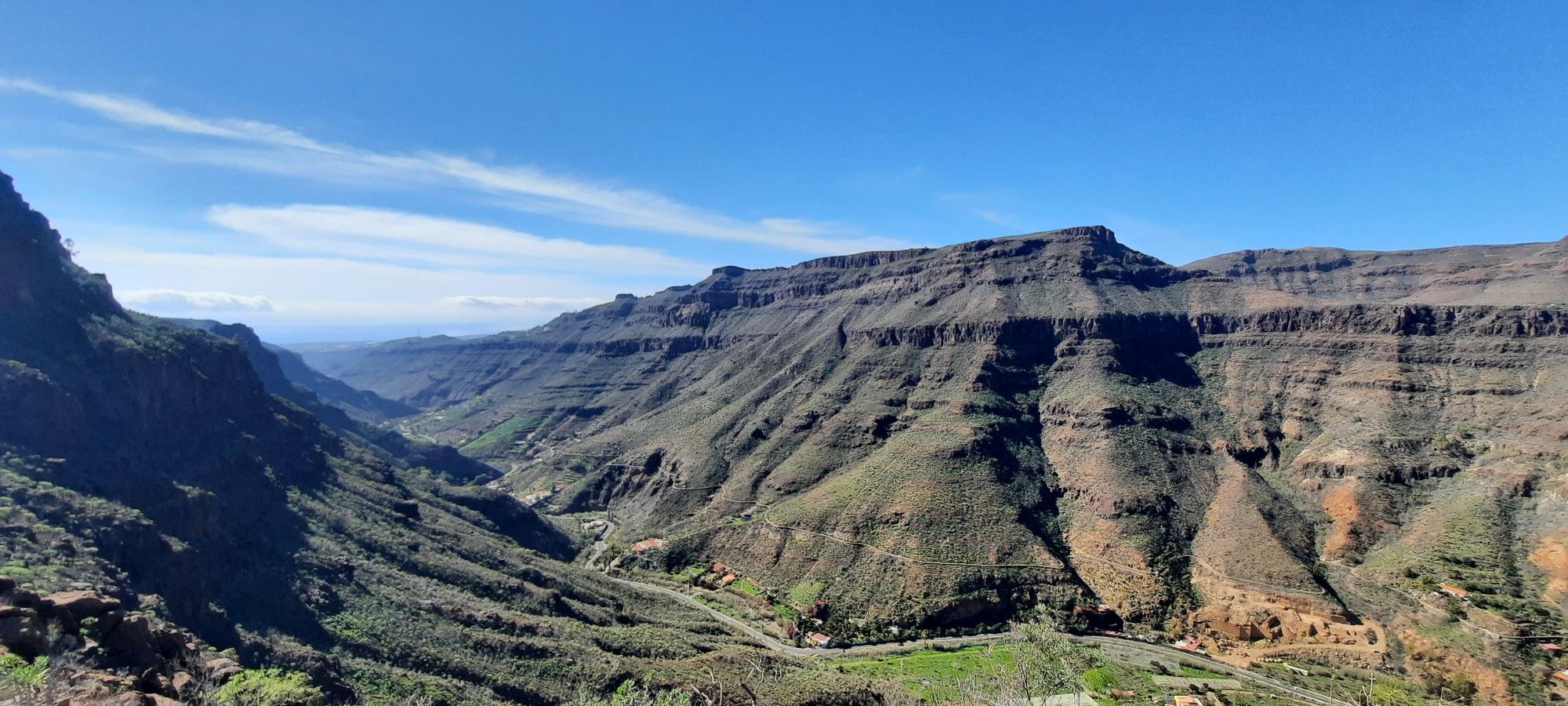
The challenge of the year — Transgrancanaria Classic
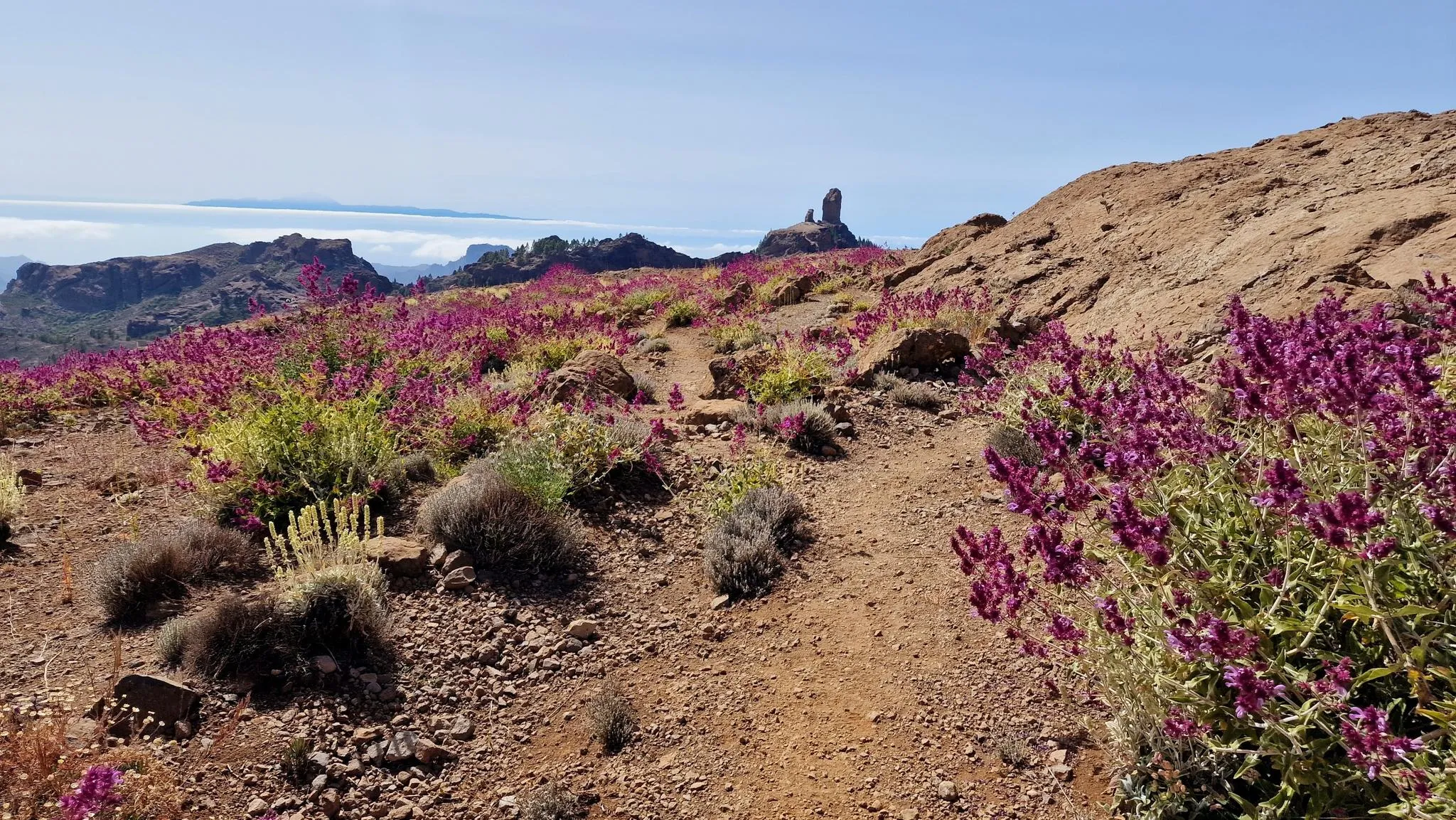
An island of contrasts – crossing Gran Canaria
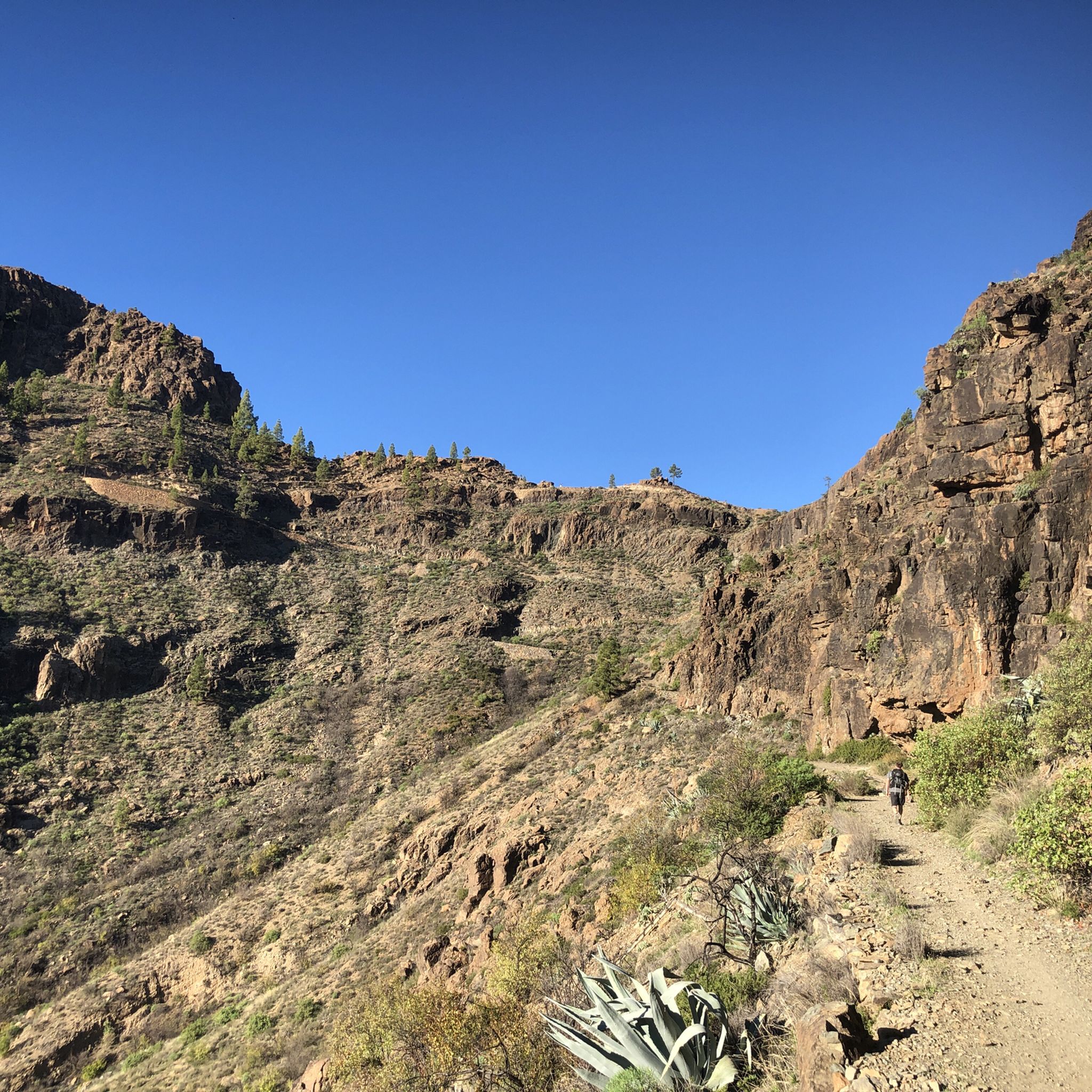
Hiking around San Bartolomé De Tirajana
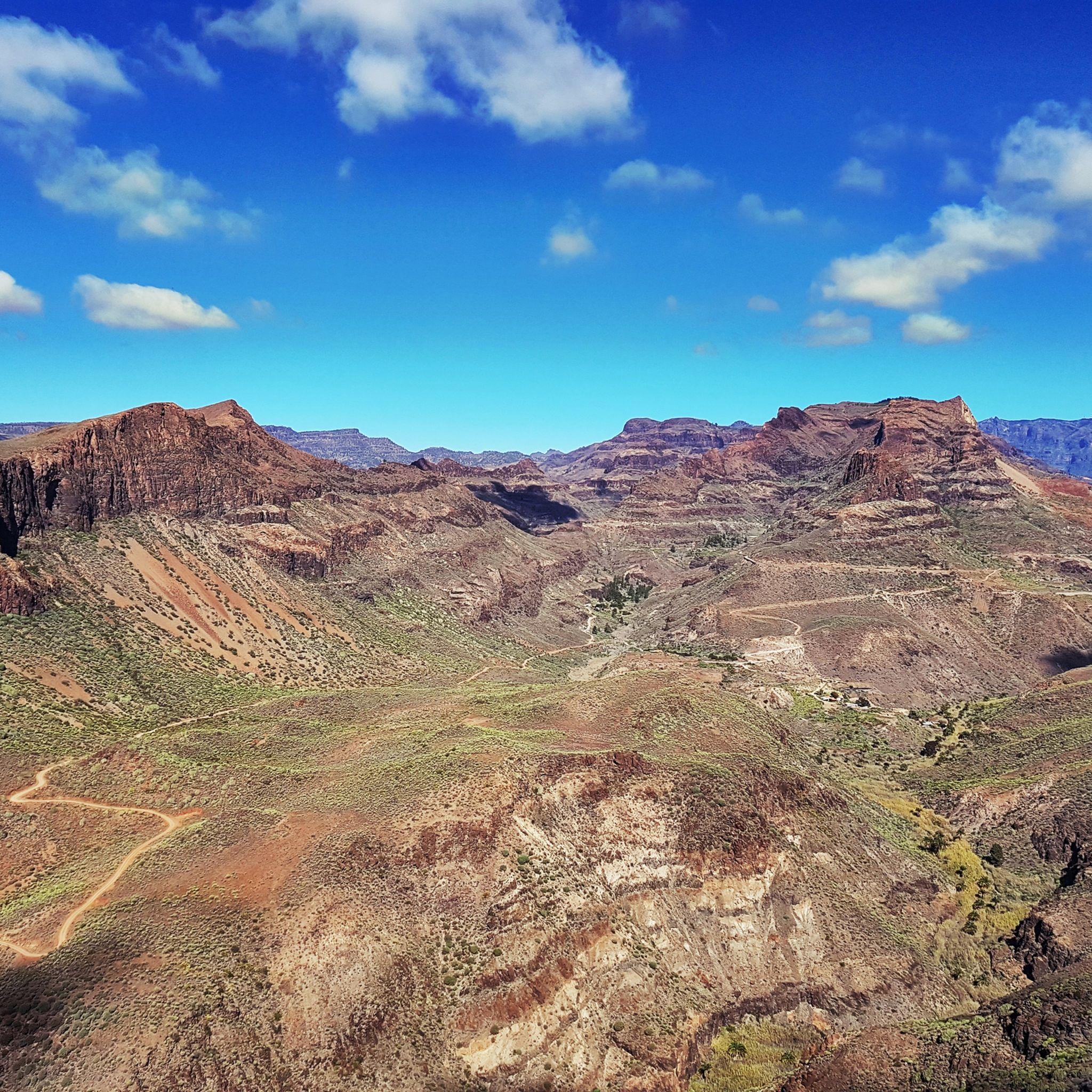
Cycling around San Bartolomé De Tirajana
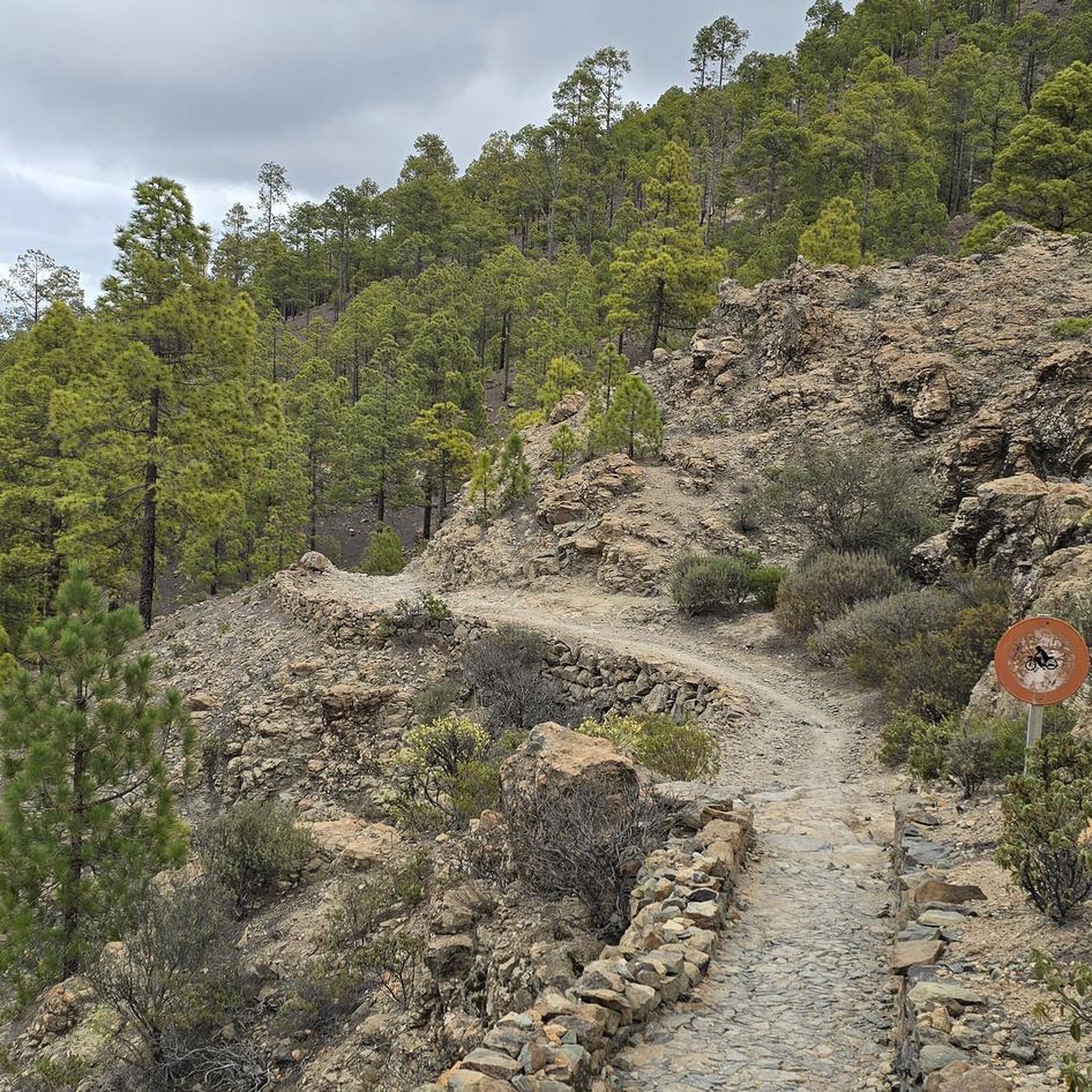
Running Trails around San Bartolomé De Tirajana
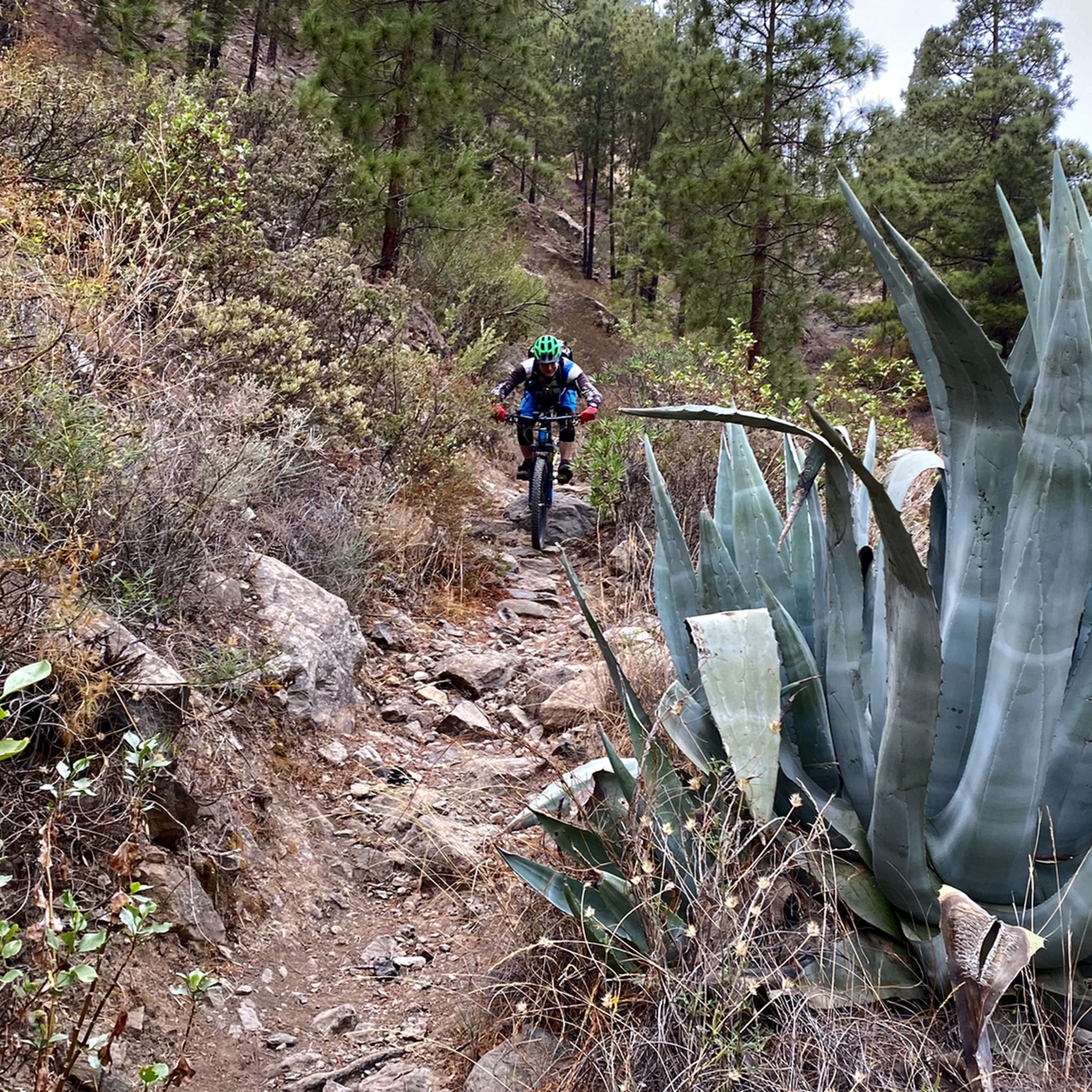
MTB Trails around San Bartolomé De Tirajana

Gravel biking around San Bartolomé De Tirajana

Mountain Hikes around San Bartolomé De Tirajana
Other adventures around San Bartolomé De Tirajana


Tips from the Community

It's a pleasure, great views!! You only get that by bike
0
0

Busy coastal road with beautiful sea views.
1
0

Nice to see on the round, a must especially in good weather
0
0

The Valley of Tears must be attempted, but be left in no doubt that it is super difficult.
0
0

You have to drive this road to Taurito (and back) on good asphalt. The buses keep an exemplary distance when overtaking. It's also very nice in the morning, when the wind is usually not so strong and traffic is still flowing.
1
0


Everything you ever wanted to know about aloe vera...
0
0

If you're planning to explore this area by bike, on a run, or while hiking, make sure to bring your own Merlot. The region is known for its stunning views and outdoor activities, but finding a good spot to enjoy a glass of wine can be a challenge. Packing your favorite Merlot ensures you can savor a well-deserved drink after your adventure!
0
1
Frequently Asked Questions
What kind of terrain can I expect on road cycling routes in San Bartolomé de Tirajana?
San Bartolomé de Tirajana offers incredibly diverse terrain. You'll find a mix of coastal roads, rugged inland mountains, and deep ravines. Routes can range from arid semi-desert landscapes near the coast to greener, more dramatic scenery as you ascend towards the island's volcanic center. Road conditions are generally very good, ensuring a smooth riding experience.
How many road cycling routes are available in San Bartolomé de Tirajana?
There are over 60 road cycling routes available in San Bartolomé de Tirajana, catering to various skill levels. These include 23 easy routes, 21 moderate routes, and 22 difficult routes, ensuring options for every cyclist.
Are there easy road cycling routes suitable for beginners in San Bartolomé de Tirajana?
Yes, San Bartolomé de Tirajana offers several easier road cycling routes. For example, the route From Maspalomas to Ayagueres – return to Pilancones Natural Park – Gran Canaria is a moderate 17.8-mile (28.7 km) trail that explores varied landscapes without extreme difficulty. There are 23 routes classified as easy in the region.
What are the most challenging road cycling routes or climbs in the area?
For experienced cyclists seeking a challenge, the ascent to Pico de las Nieves, Gran Canaria's highest point, is a major draw. A demanding route that includes this climb is Soria, Pico de Nieves, and San Bartolomé – tour around Pilancones Natural Park – Gran Canaria, a difficult 56.7-mile (91.3 km) path with significant elevation gain. Another challenging option is the Fataga Serpentine Road – Alto de Fataga loop from Maspalomas Dunes.
Are there any circular road cycling routes in San Bartolomé de Tirajana?
Yes, many road cycling routes in the region are designed as loops. An example is the Amadores Beach – View of Taurito loop from Playa del Inglés, which is a 34.5-mile (55.6 km) coastal route. The Views of Los Palmitos – Hairpin Bends to Monte León loop from Maspalomas also offers a circular experience.
What natural landmarks can I see while road cycling in San Bartolomé de Tirajana?
The region is rich in natural landmarks. You can cycle past the unique Maspalomas Dunes, or challenge yourself to reach the Pico de las Nieves summit for breathtaking panoramic views. The iconic Roque Nublo is also a significant natural monument in the wider Gran Canaria area.
Are there any scenic viewpoints along the road cycling routes?
Absolutely. The region is known for its spectacular vistas. The Degollada de las Yeguas Astronomical Viewpoint offers stunning views, especially of the GC-60 road snaking through the landscape. Many routes also provide views of deep ravines and the dramatic coastline.
What is the best time of year for road cycling in San Bartolomé de Tirajana?
San Bartolomé de Tirajana, located in the south of Gran Canaria, benefits from a mild climate year-round, making it suitable for road cycling in most seasons. The winter months (October to April) are particularly popular as temperatures are pleasant and ideal for longer rides, avoiding the intense heat of summer. However, microclimates mean conditions can vary, especially at higher elevations.
What do other road cyclists enjoy the most about road cycling in San Bartolomé de Tirajana?
The area is highly rated by the komoot community, with an average score of 4.4 stars from over 1,400 reviews. Cyclists often praise the diverse and dramatic landscapes, the generally good road conditions, and the variety of routes that cater to different fitness levels, from coastal stretches to challenging mountain climbs.
Are there any historical or cultural attractions near the cycling routes?
While primarily known for its natural beauty, you can find points of interest like the historic Maspalomas Lighthouse near coastal routes. The region also has charming villages like Fataga and San Bartolomé itself, offering glimpses into local culture and architecture.
Can I find long-distance road cycling routes in San Bartolomé de Tirajana?
Yes, the region offers several long-distance routes for those looking for extended rides. For instance, the Soria, Pico de Nieves, and San Bartolomé – tour around Pilancones Natural Park – Gran Canaria route covers over 56 miles (91 km), and the Fataga Serpentine Road – Alto de Fataga loop from Maspalomas Dunes is over 67 miles (108 km), providing significant mileage and elevation.
Most popular routes around San Bartolomé De Tirajana
Most popular attractions around San Bartolomé De Tirajana

Get inspired with the komoot mobile app


Explore more
Browse the best Road cycling routes in other regions.
