The best mountain hikes around San Bartolomé De Tirajana
5.0
(21)
127
hikers
11
hikes
Mountaineering routes around San Bartolomé De Tirajana traverse a dramatic volcanic landscape in the south of Gran Canaria. The region is characterized by abrupt, steep mountainous terrain, deep gullies like Tirajana and Arguineguín, and iconic rock formations such as Roque Nublo and Roque Bentayga. This diverse environment offers a blend of rugged peaks and extensive panoramic views, with elevations reaching up to Pico de las Nieves at 1,949 meters.
Best mountaineering routes around San Bartolomé De Tirajana
- The most popular…
Last updated: August 20, 2026
5.0
(6)
47
hikers
3.23km
01:09
160m
160m
Moderate mountaineering route. Great for any fitness level. Mostly accessible paths. Sure-footedness required.
5.0
(3)
10
hikers
10.2km
03:24
500m
500m
Moderate mountaineering route. Good fitness required. Mostly accessible paths. Sure-footedness required.

Sign up for free
5.0
(2)
10
hikers
5.98km
01:53
230m
230m
Moderate mountaineering route. Great for any fitness level. Mostly accessible paths. Sure-footedness required.
5.0
(2)
10
hikers
14.4km
04:25
500m
490m
Moderate mountaineering route. Good fitness required. Easily-accessible paths. Suitable for all skill levels.
5.0
(3)
13
hikers
6.96km
02:38
410m
410m
Moderate mountaineering route. Good fitness required. Mostly accessible paths. Sure-footedness required.
Get access to more routes and recommendations from other explorers.
Sign up for free
Already have an account?
Our route recommendations are based on thousands of hikes, rides, and runs completed by other people on komoot.
Start today with a free account
Your next adventure awaits.
Login or Signup
Popular around San Bartolomé De Tirajana
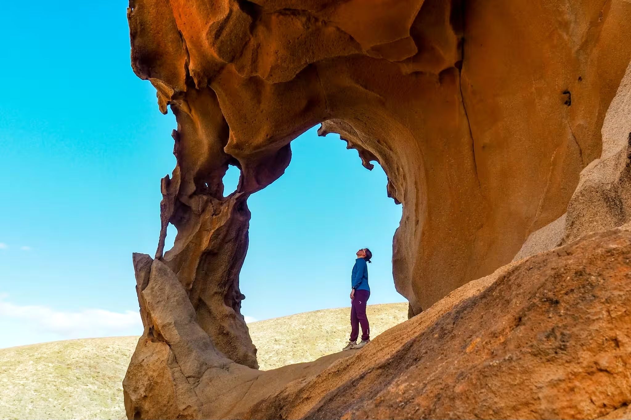
Canary Islands at a slow pace – six hikes immersed in nature
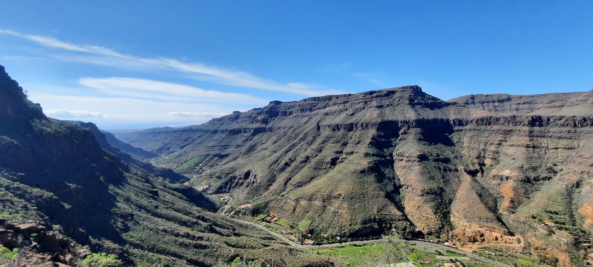
The challenge of the year — Transgrancanaria Classic
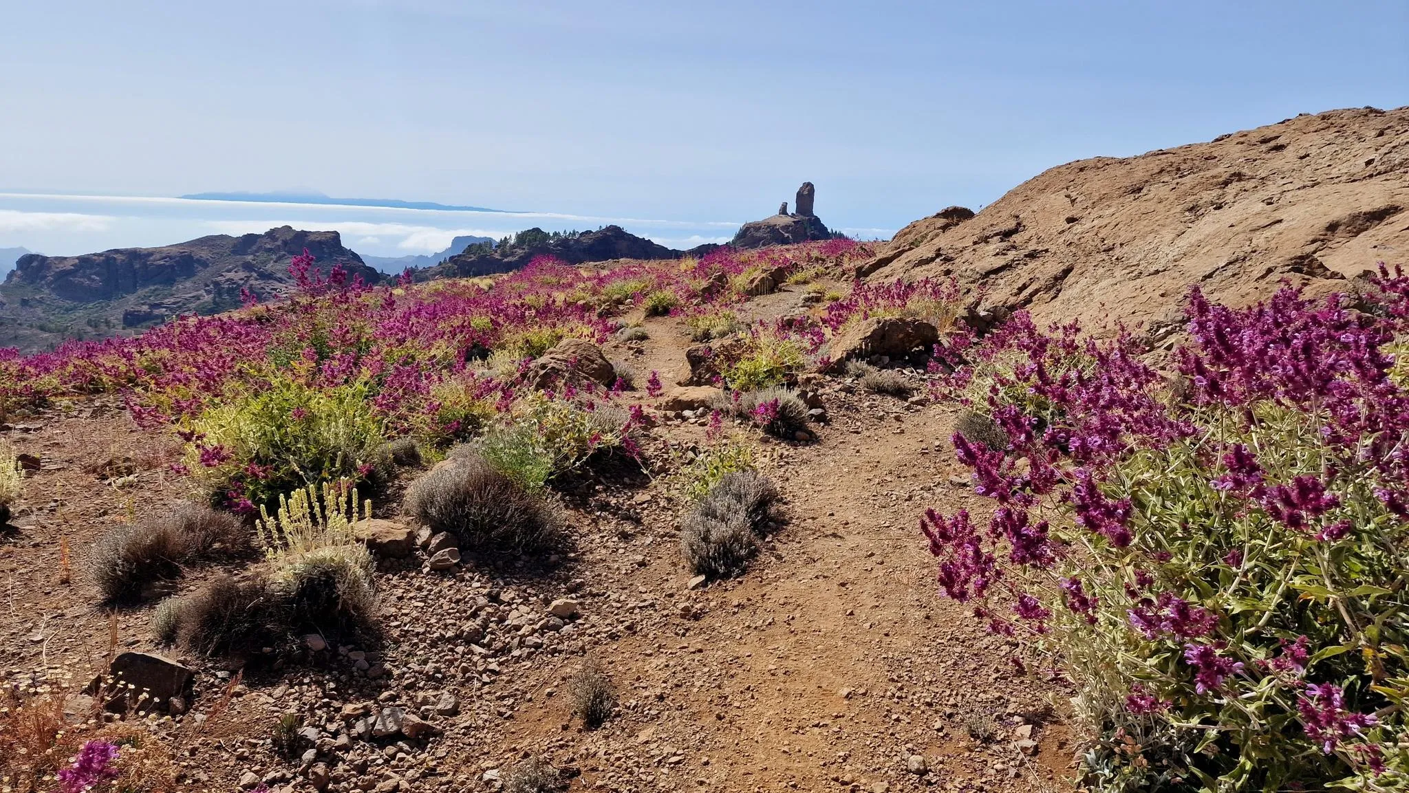
An island of contrasts – crossing Gran Canaria
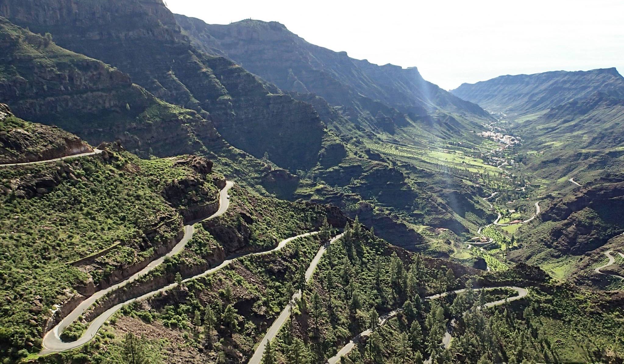
Escape to the south — road cycling in Gran Canaria
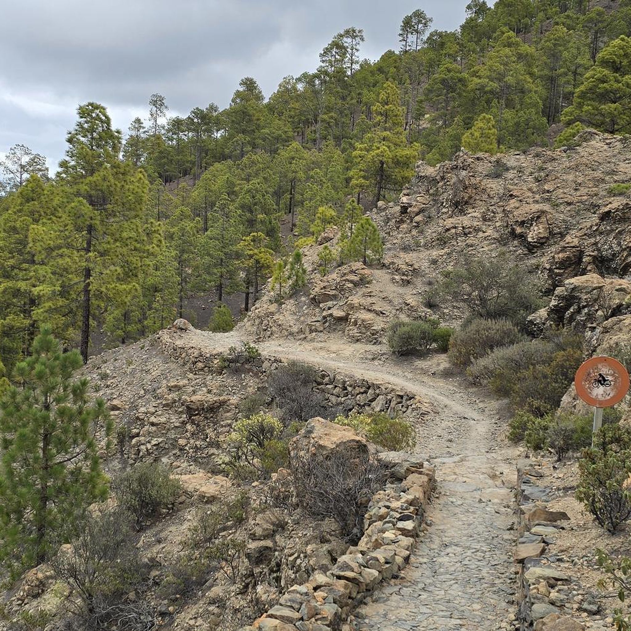
Road Cycling Routes around San Bartolomé De Tirajana
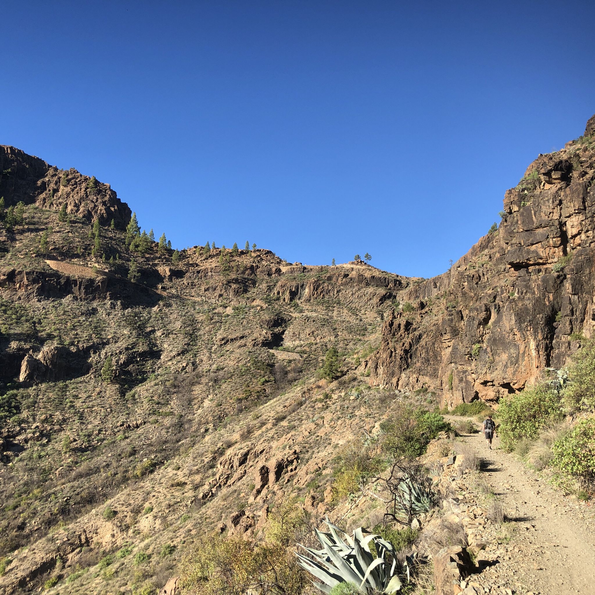
Hiking around San Bartolomé De Tirajana
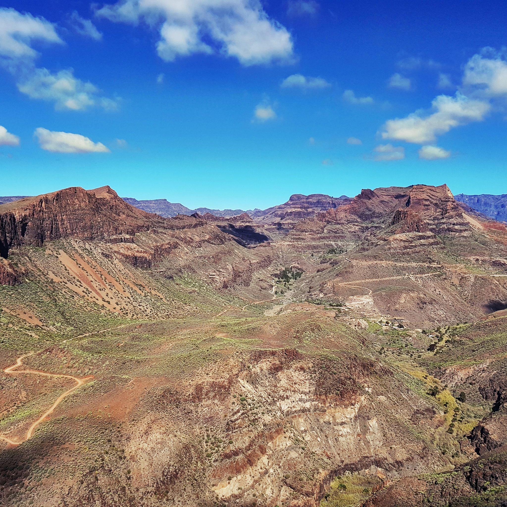
Cycling around San Bartolomé De Tirajana
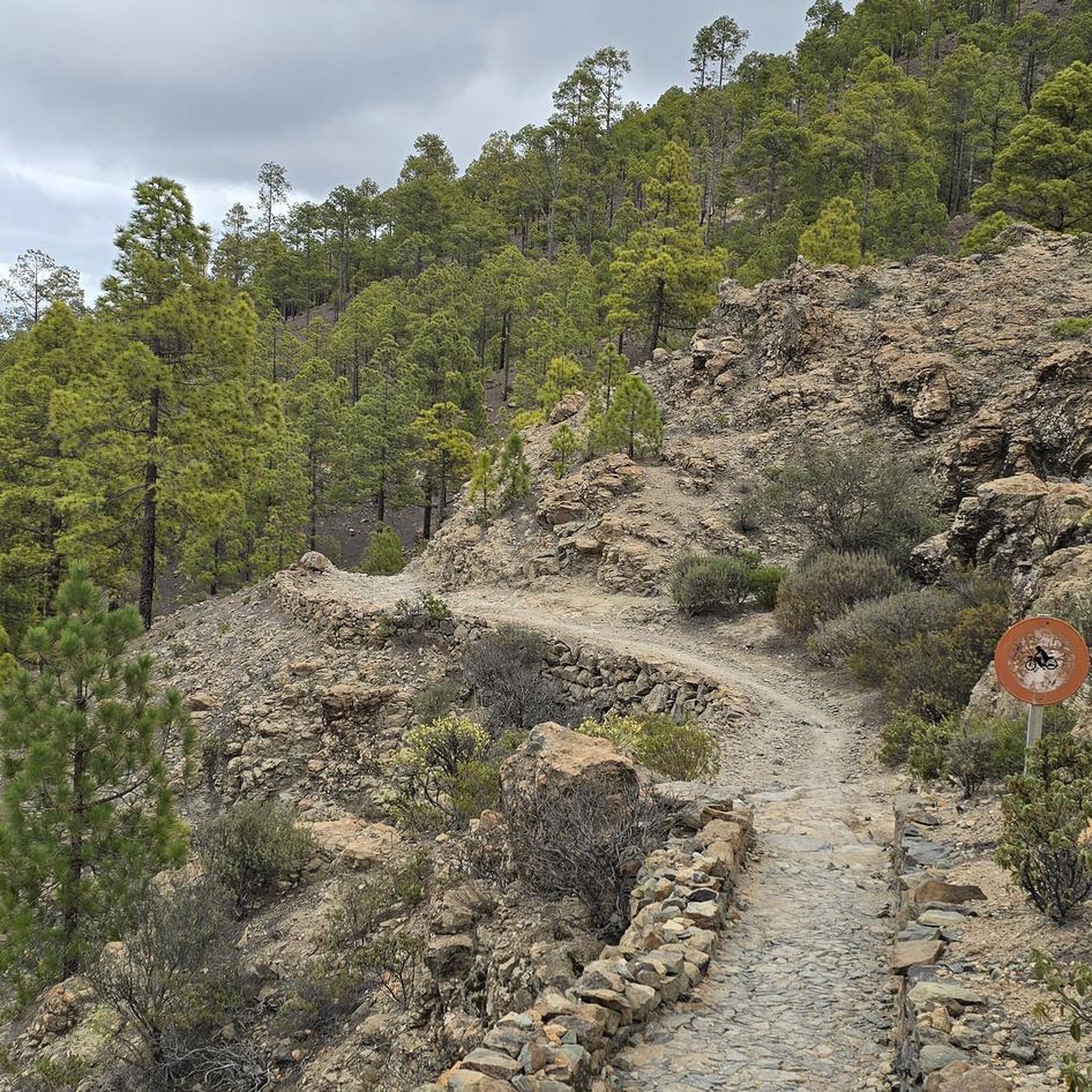
Running Trails around San Bartolomé De Tirajana
MTB Trails around San Bartolomé De Tirajana

Gravel biking around San Bartolomé De Tirajana
Other adventures around San Bartolomé De Tirajana


Tips from the Community

Located in the heart of Gran Canaria, La Culata is part of the municipality of Tejeda. It is made up of traditional houses built on the cliff face from which it gets its name. From the heights of the village, you can see the distribution of the houses and the terraced crops that adapt to the hills.
0
0
In a magnificent location in the middle of pine forests, you can choose here to take the upper or lower hiking trail to climb to Pico de las Nieves.
0
0

From here you have a wonderful view.
1
0
Beautiful view of the island's highest mountain.
0
0

From here we have a beautiful view of the Roque Nublo.
1
0


Ascent to the Roque Nublo Plateau Roque Nublo is one of Gran Canaria's most significant natural monuments. A giant that rises to an altitude of approximately 1,800 meters in the center of the island, within a natural landscape protected by a biosphere reserve. This impressive rock monolith—a symbol of Gran Canaria—rises 80 meters from the plateau and offers a uniquely expansive panoramic view; only a few mountains on the island can match it. On clear days, the neighboring volcano, the famous Teide, is clearly visible.
1
0
Frequently Asked Questions
How many mountaineering routes are available in San Bartolomé De Tirajana?
There are over 10 mountaineering routes around San Bartolomé De Tirajana, offering a variety of experiences through its dramatic volcanic landscapes. These routes cater to different skill levels, from moderate ascents to more challenging trails.
What are the typical difficulty levels for mountaineering routes in this region?
The mountaineering routes in San Bartolomé De Tirajana are predominantly rated as moderate or difficult. You'll find 4 moderate routes and 8 difficult routes, providing options for those seeking a good challenge.
Are there any circular mountaineering routes in San Bartolomé De Tirajana?
Yes, many routes in the region are circular, allowing you to start and end at the same point. For example, you could explore the Roque Nublo – View of Roque Nublo loop from Gran Canaria, a moderate 2.0-mile trail, or the longer View of Roque Nublo – Roque Nublo Cave loop from Gran Canaria, which is 5.0 miles.
What kind of natural landmarks can I expect to see along the mountaineering routes?
Mountaineering routes in San Bartolomé De Tirajana offer incredible views of iconic natural landmarks. You can encounter the impressive Roque Nublo, a significant natural monument, or reach the highest point of the island at Pico de las Nieves summit. Other notable features include Roque Bentayga and various deep gullies and pine forests within Pilancones Natural Park.
What do other mountaineers enjoy most about the routes in San Bartolomé De Tirajana?
The area is highly rated by the komoot community, with an average score of 5.0 stars from over 20 reviews. Mountaineers often praise the dramatic volcanic landscapes, the extensive panoramic views, and the opportunity to explore iconic rock formations like Roque Nublo and Pico de las Nieves.
Are there any routes suitable for beginners or those looking for a moderate challenge?
Absolutely. While the region offers challenging terrain, there are several moderate routes perfect for beginners or those seeking a less strenuous experience. Consider the Pico de las Nieves – View of Roque Nublo loop from Pico de las Nieves, a 3.7-mile trail offering great views without extreme difficulty.
What is the best time of year for mountaineering in San Bartolomé De Tirajana?
San Bartolomé De Tirajana benefits from a year-round pleasant climate with mild winters, making it an ideal destination for mountaineering at almost any time. Early mornings are often recommended for popular spots like Roque Nublo to avoid crowds and enjoy cooler temperatures.
Are there any longer, more challenging mountaineering routes available?
Yes, for those seeking a greater challenge, there are several difficult routes. One option is the Bakery Pastry Shop Café – Ascent to the Pass loop from San Bartolomé de Tirajana, a 9.0-mile route with significant elevation gain, offering a rewarding experience for experienced mountaineers.
Can I find routes that offer views of multiple iconic peaks?
Many routes provide expansive views that encompass several of Gran Canaria's famous peaks. For instance, the Roque Nublo – View of Roque Nublo loop from Clouded Rock not only offers views of Roque Nublo but also allows you to appreciate the surrounding volcanic landscape and other rock monoliths.
Are there any interesting caves to explore near the mountaineering trails?
Yes, the region is home to several fascinating caves. You might discover the Fortaleza Grande Cave or the Caballero Caves. These sites offer a glimpse into the island's geological and historical past, often accessible via dedicated hiking tours.
Is parking generally available near the trailheads?
Parking availability varies by trailhead. For popular spots like Roque Nublo and Pico de las Nieves, designated parking areas are usually available, though they can fill up quickly, especially during peak times. It's advisable to arrive early or research specific parking options for your chosen route.
Are the mountaineering routes suitable for families with children?
While many routes are challenging, some shorter, moderate loops can be suitable for active families. It's best to check the distance and elevation gain for specific routes and ensure they align with your family's experience level. The shorter Roque Nublo loops might be an option for families accustomed to hiking.
Most popular routes around San Bartolomé De Tirajana
Most popular attractions around San Bartolomé De Tirajana

Get inspired with the komoot mobile app


Explore more
Browse the best Mountain Hikes & Routes in other regions.
