Top 19 Mountain Passes around Largentière
Mountain passes around Largentière are situated in the Ardèche region of France, an area known for its diverse natural landscapes and mountainous terrain. The region features several notable mountain passes that traverse the Monts d'Ardèche and Cévennes massifs. These passes serve as routes connecting various valleys and providing access to higher elevations. Largentière is a central point for exploring these geographical features.
Best mountain passes around Largentière
- The most popular mountain pass is Col de Fontenelle (718 m), a…
Last updated: July 10, 2026
Cize Pass
Highlight • Mountain Pass
Tip by

Belvedere of Serre de Tourre
Highlight • Viewpoint
Translated by Google •
Tip by

Sign up now to discover places like this
Get recommendations on the best single tracks, peaks, & plenty of other exciting outdoor places.
Sign up for free
Col de Fontenelle (718 m)
Highlight • Mountain Pass
Translated by Google •
Tip by

Col de Mézilhac (1,119 m)
Highlight • Mountain Pass
Translated by Google •
Tip by
Forestière Pass
Highlight • Mountain Pass
Tip by
Col de la Croix Blanche (White Cross Pass)
Highlight • Mountain Pass
Translated by Google •
Tip by
Croix de Rocles Pass
Highlight • Mountain Pass
Translated by Google •
Tip by
Escrinet Pass
Highlight • Mountain Pass
Translated by Google •
Tip by

Route de Villefort
Highlight • Mountain Pass
Tip by

Col de Moucheyres (858 m)
Highlight • Mountain Pass
4.4Km at 4.5% average
Translated by Google •
Tip by

Sign up for free to discover even more mountain passes around Largentière.
Sign up for free
Already have an account?
Start today with a free account
Your next adventure awaits.
Login or Signup
Popular around Largentière
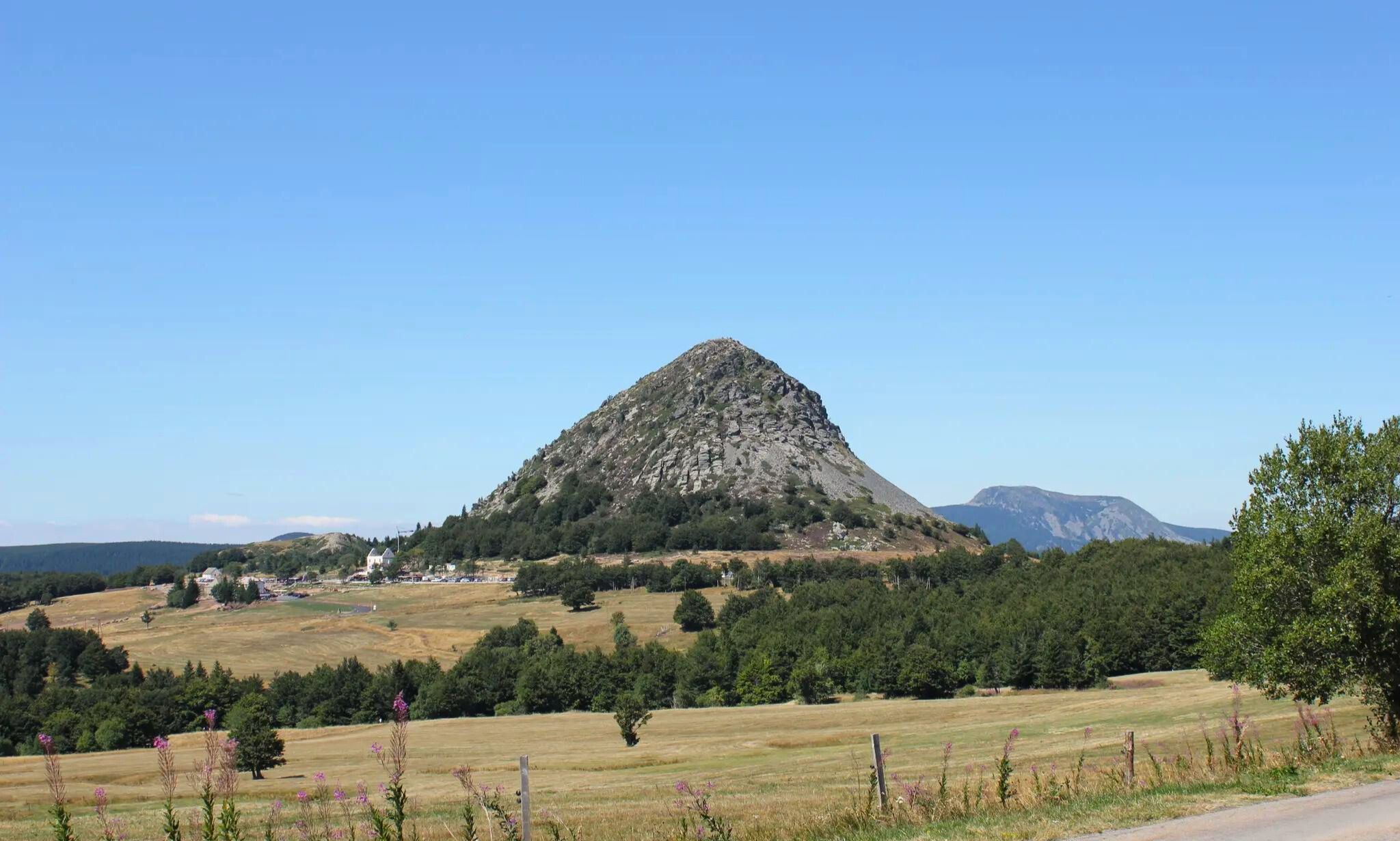
GR 3 between Puy-en-Velay and Gerbier de Jonc – The Loire from ocean to the source

Hexatrek – The Cévennes to the Pyrenees between gorges and limestone plateau
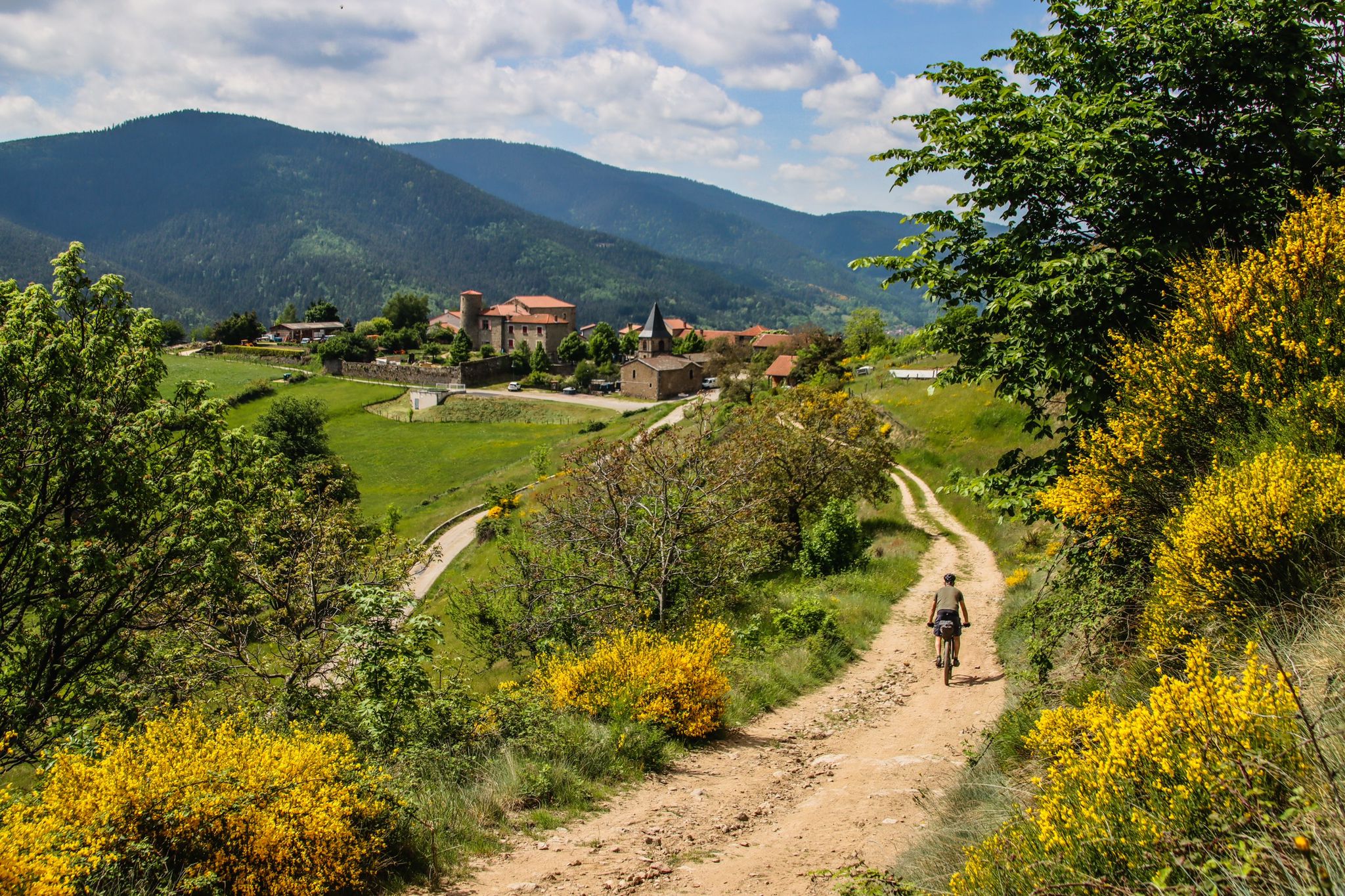
Grande Traversée de l'Ardèche (GTA) – Mountain biking
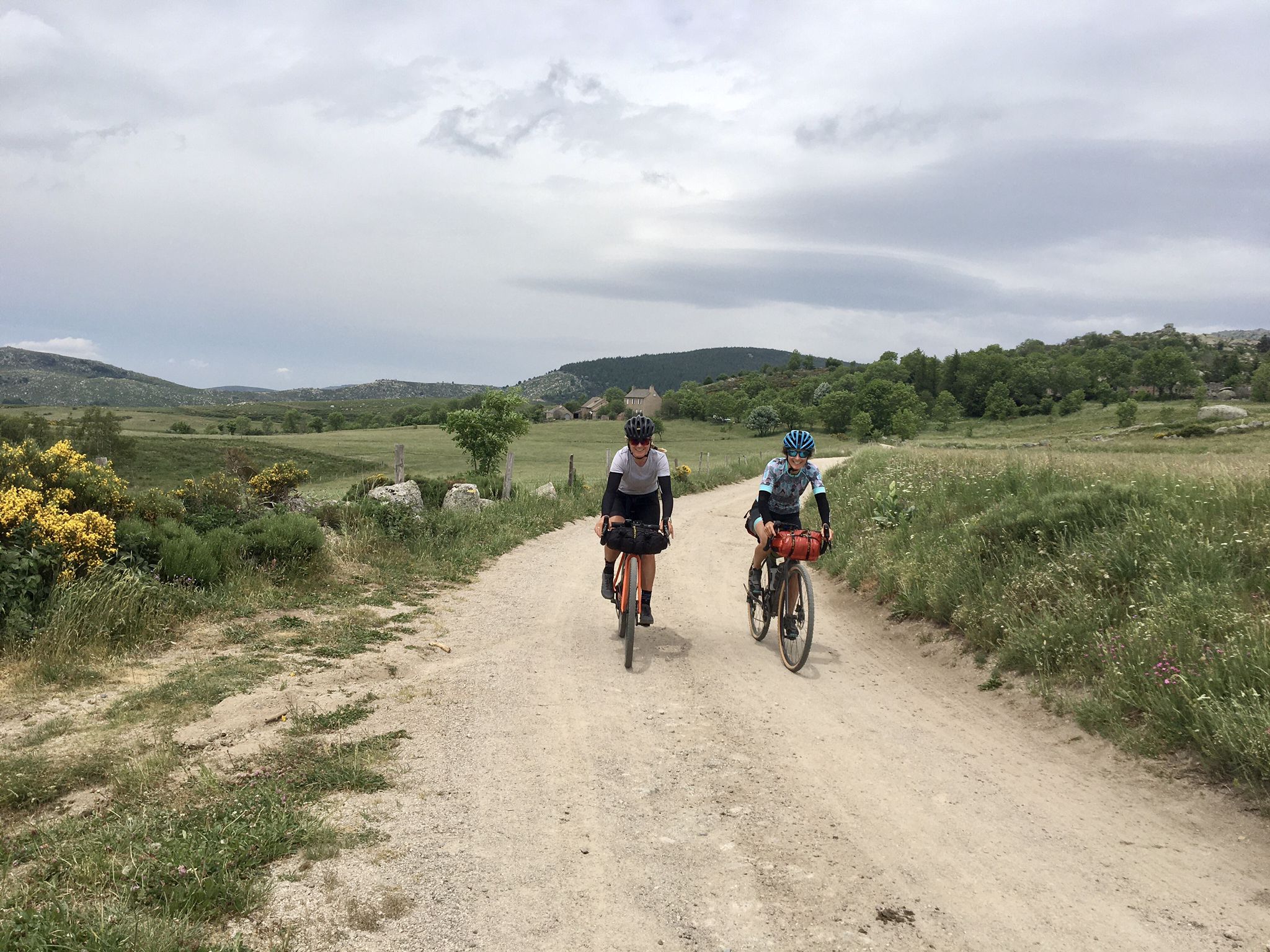
Ardèche Cévennes Divide – Bikepacking on a gravel bike
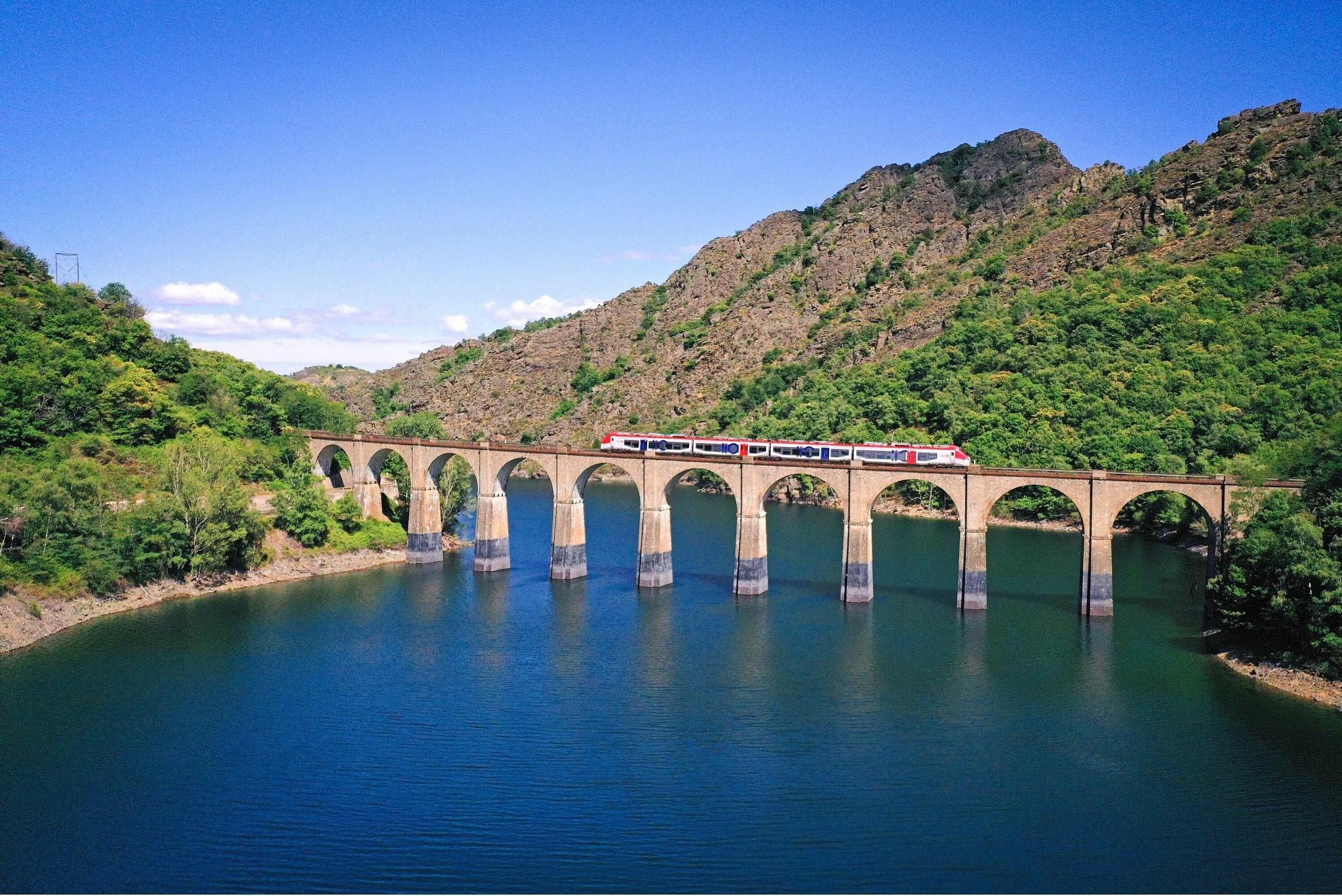
Routes between Nîmes and Mende – cycling by train with liO
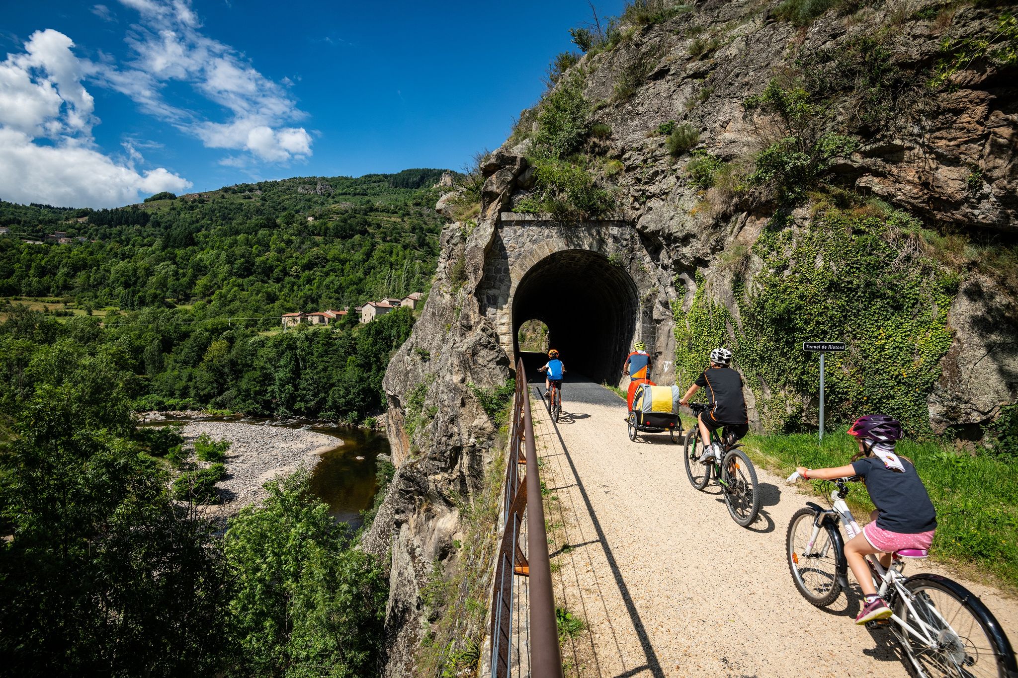
Cycle routes in the footsteps of the railway in the Ardèche
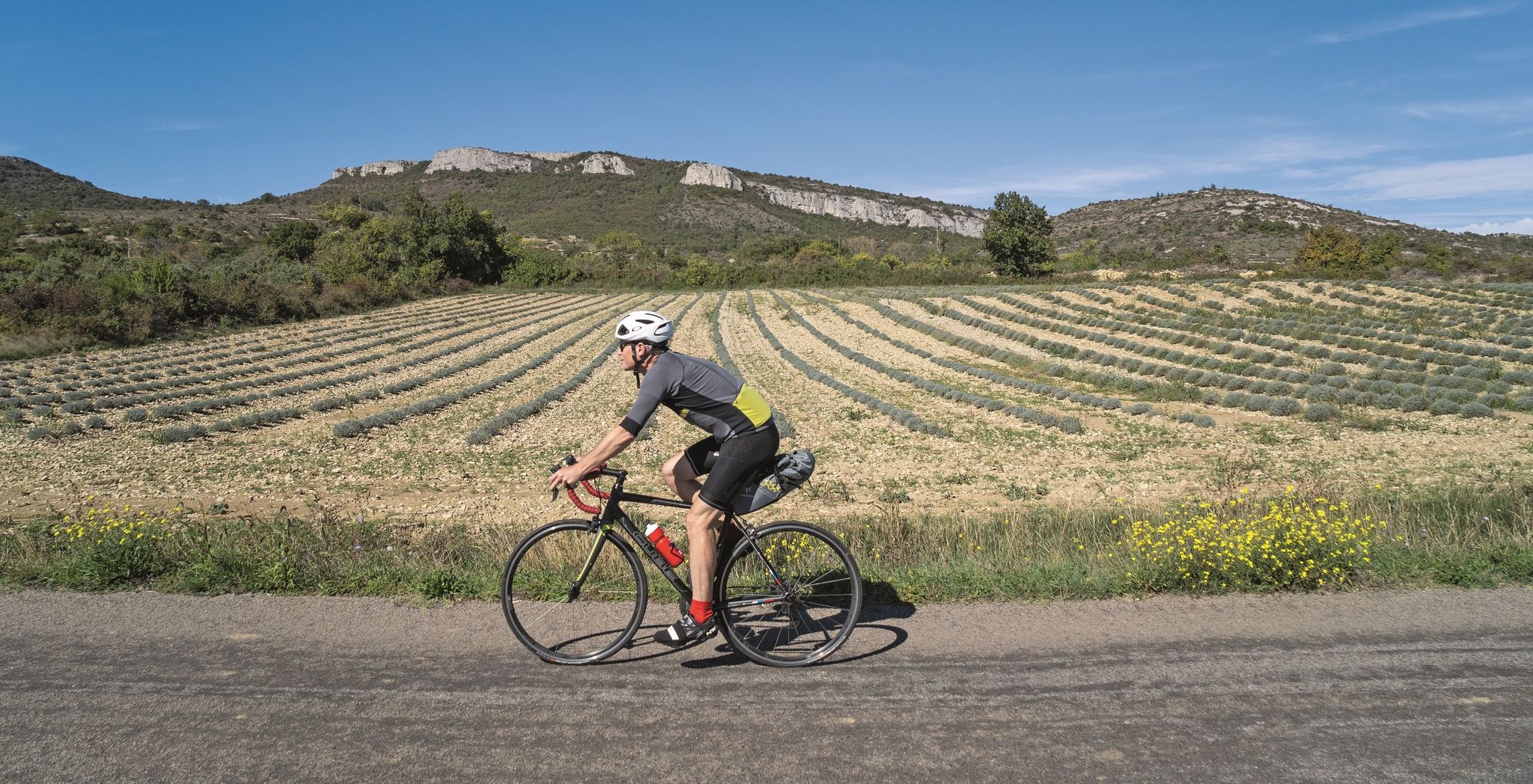
Road cycling tours along the Ardèche
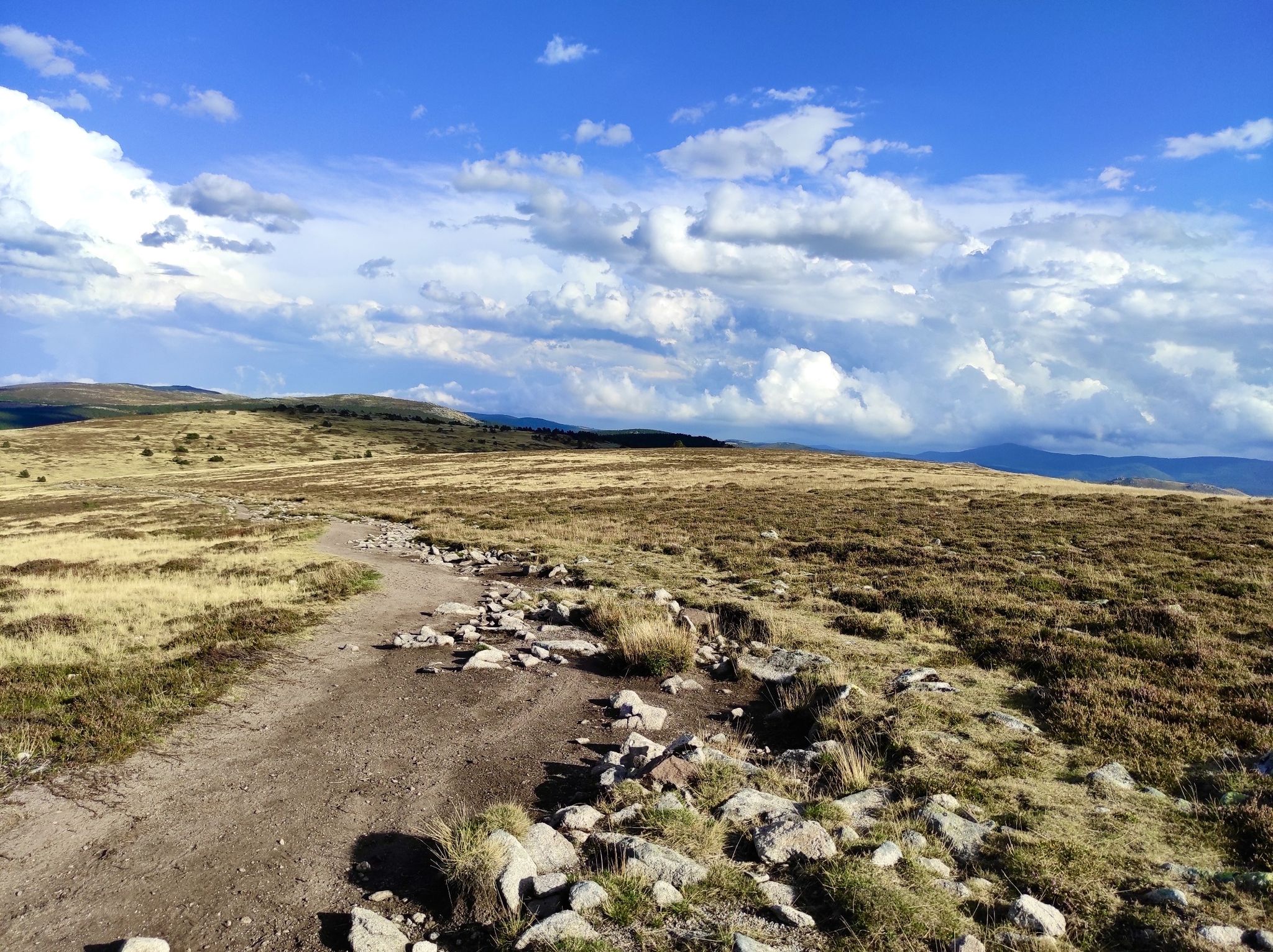
In the footsteps of Modestine — the Stevenson Trail (GR 70)

‘La Joyeuse Vadrouille’ – two months cycling with the family
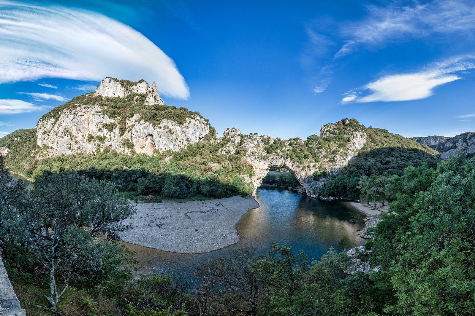
In the steps of the Cro-Magnon – a prehistoric journey in France
Other adventures around Largentière


Tips from the Community

The best way is to go by bike or hike there
1
0

Recommended for mountain bikers who enjoy enduro/alpine. Not the roughest trail in the region, but still very enjoyable. Be aware of many rocks and beautiful climbs and descents. Not suitable for regular bikes or XC MTB. Also very suitable for hiking. Good preparation is required (water, spare bike parts, first aid kit). The region is very remote.
0
0

Small street, no traffic
0
0
Anyone who wants to stop for a bite to eat should stop here. There are few alternatives. A Grand Café Creme and a generous sandwich for 8 euros.
1
1

Col du Serre de Tourre 323m high.
1
0

The climb is tough and the view is spectacular.
0
0
After a long and intense climb you are greeted by a spectacular view of the gorge.
0
0
Relatively flat col on both sides. Can be ridden relaxed or all-out.
0
0
Frequently Asked Questions
What are some of the most scenic mountain passes around Largentière?
For breathtaking panoramic views, consider visiting the Col de Meyrand, which offers vistas of the Beaume valley, Monts d'Ardèche, Cévennes, and even Mont Ventoux. It features a belvedere and an orientation table. Another excellent choice is the Col de Fontenelle (718 m), known for its beautiful views of the Ventoux and the Ecrins.
Which mountain passes are popular for cycling in the Largentière region?
The region is a cyclist's paradise. The Col de Meyrand is a prominent climb featured in the Ardéchoise cyclosportive event. The Col de Mézilhac (1,119 m) is also a frequent ascent in the Ardéchoise. Additionally, the Col de la Croix de Bauzon is popular among cyclists and was part of a Tour de France descent.
Are there mountain passes suitable for hiking near Largentière?
Yes, several passes offer great hiking opportunities. From the Col de Meyrand, you can explore sections of the GR de Pays Tour du Tanargue route. The Col de la Chavade is also an important stage on the Grande Traversée Ardéchoise, a long-distance route suitable for mountain biking and winter hiking.
What are some challenging mountain passes for experienced adventurers?
For a challenge, the ascent to Col de Meyrand from Valgorge is 16 kilometers long with an average gradient of 5.1%. The Col de la Croix Blanche (White Cross Pass) is also known for its challenging climbs, with an average slope of 5.4% over 14.3 kilometers from Chambonas.
Are there any family-friendly mountain passes or routes around Largentière?
While many passes offer challenging routes, the Route de Villefort is noted as family-friendly and offers a viewpoint. For general outdoor activities, you can find various family-friendly mountain walks and trails in the region. For more options, explore the Mountain Hikes around Largentière guide.
What outdoor activities can I do near these mountain passes?
Beyond cycling and hiking, the region offers a variety of outdoor pursuits. You can find numerous mountain biking trails, with options available in the MTB Trails around Largentière guide. Gravel biking is also popular, and you can explore routes in the Gravel biking around Largentière guide.
When is the best time to visit the mountain passes around Largentière?
The best time to visit for cycling and hiking is typically from spring to autumn when the weather is mild and the passes are clear of snow. For winter sports enthusiasts, the Col de la Croix de Bauzon and Col de la Chavade offer ski areas for Nordic skiing, snowshoeing, and other winter activities.
Are there any mountain passes with facilities like restaurants or ski areas?
Yes, the Col de la Croix de Bauzon is associated with a small ski area in winter and offers a restaurant. The Col de la Chavade is also close to the La Chavade-Bel-Air ski station, providing extensive Nordic skiing and snowshoeing opportunities.
What kind of natural features can I expect to see at these passes?
The passes are situated in the diverse landscapes of the Monts d'Ardèche and Cévennes massifs. You'll encounter varied scenery, from shaded sections to open areas with panoramic views. The Col de la Chavade also serves as a watershed, with waters flowing towards both the Atlantic and the Mediterranean.
What do visitors enjoy most about the mountain passes near Largentière?
Visitors frequently praise the magnificent views and challenging climbs. Many appreciate the varied terrain suitable for both relaxed rides and intense training. The region's passes are also valued for their role in major cyclosportive events like the Ardéchoise.
Are there any relatively flat or easy mountain passes for a relaxed ride?
Yes, the Forestière Pass is described as relatively flat on both sides, making it suitable for a relaxed ride. Its average gradient is around 5% with maximal gradients of 10%.
Which mountain passes are located within a natural park?
The Col de la Croix de Bauzon is located within the Regional Natural Park of the Monts d'Ardèche, offering access to its diverse landscapes and cultural heritage. The Col de la Chavade also serves as a gateway to exploring this park.
Most popular routes around Largentière
Most popular attractions around Largentière

Get inspired with the komoot mobile app


Didn’t find what you were looking for?
Find even more amazing mountain passes around Largentière organized by region:
Explore more
See even more epic mountain passes by checking out these guides around Largentière:
