The best waterfall hikes and walks around Largentière
4.5
(15495)
71,254
hikers
35
hikes
Waterfall hiking trails around Largentière are set within the picturesque Ligne Valley, surrounded by the rugged and hilly terrain of the Ardèche, an extension of the Cévennes mountains. The region is characterized by deep canyons like the Ardèche Gorges, numerous rivers, and diverse landscapes within the Monts d'Ardèche Regional Natural Park. Hikers can explore areas with volcanic scenery, chestnut forests, and natural rock formations, providing varied terrain for waterfall exploration.
Best waterfall hiking trails around Largentière
- The most popular waterfall…
Last updated: August 17, 2026
4.6
(33)
90
hikers
Moderate hike. Good fitness required. Easily-accessible paths. Suitable for all skill levels.
4.1
(36)
176
hikers
Moderate hike. Good fitness required. Easily-accessible paths. Suitable for all skill levels.

Sign up for free
4.1
(36)
184
hikers
Moderate hike. Good fitness required. Easily-accessible paths. Suitable for all skill levels.
4.7
(7)
30
hikers
4.41km
01:18
130m
130m
Easy hike. Great for any fitness level. Easily-accessible paths. Suitable for all skill levels.
4.5
(8)
72
hikers
15.9km
04:33
360m
360m
Moderate hike. Good fitness required. Easily-accessible paths. Suitable for all skill levels.
Get access to more routes and recommendations from other explorers.
Sign up for free
Already have an account?
Our route recommendations are based on thousands of hikes, rides, and runs completed by other people on komoot.
Start today with a free account
Your next adventure awaits.
Login or Signup
Popular around Largentière
Waterfall hikes in Monts D'Ardèche
Waterfall hikes in Bois De Païolive
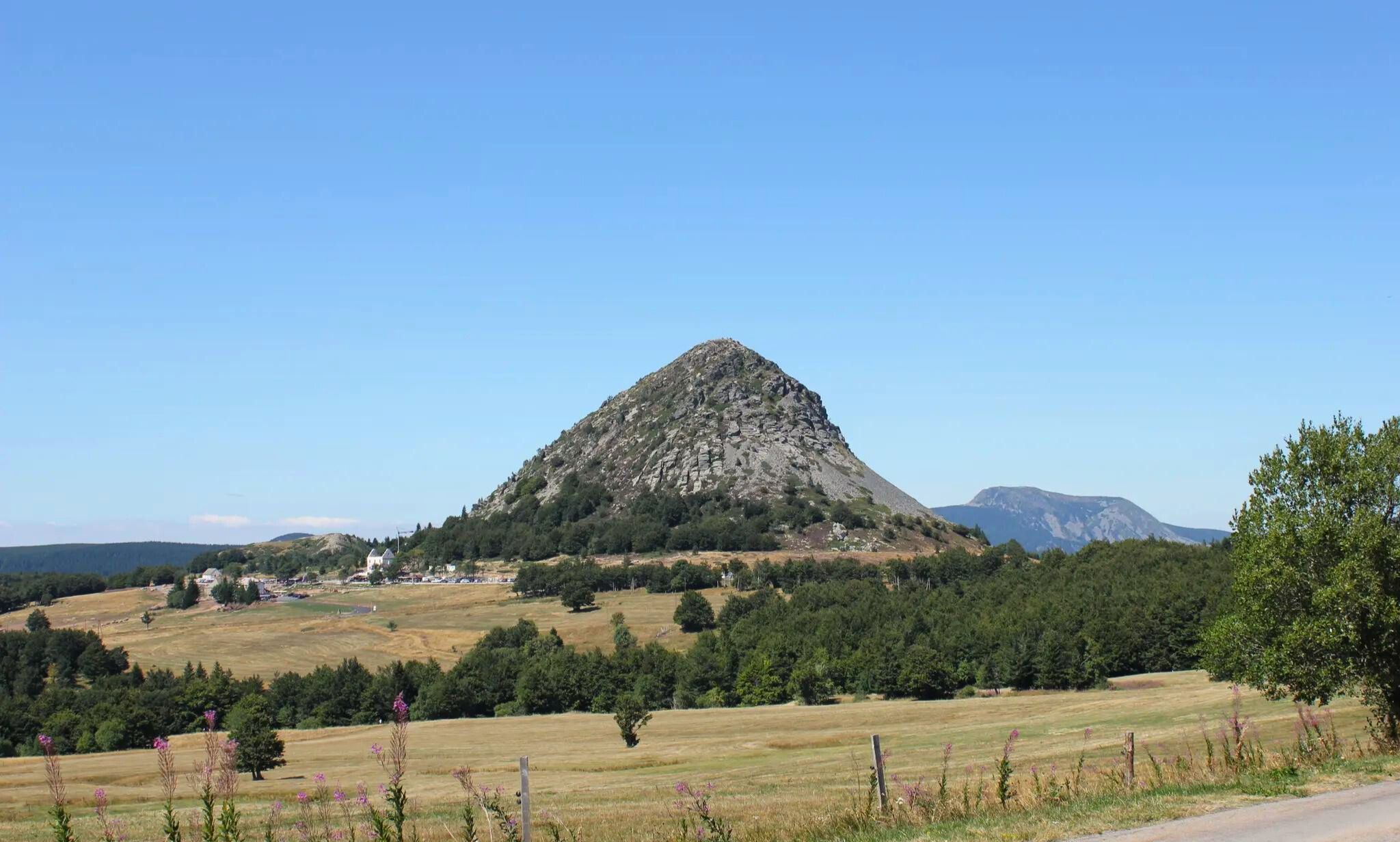
GR 3 between Puy-en-Velay and Gerbier de Jonc – The Loire from ocean to the source

Hexatrek – The Cévennes to the Pyrenees between gorges and limestone plateau
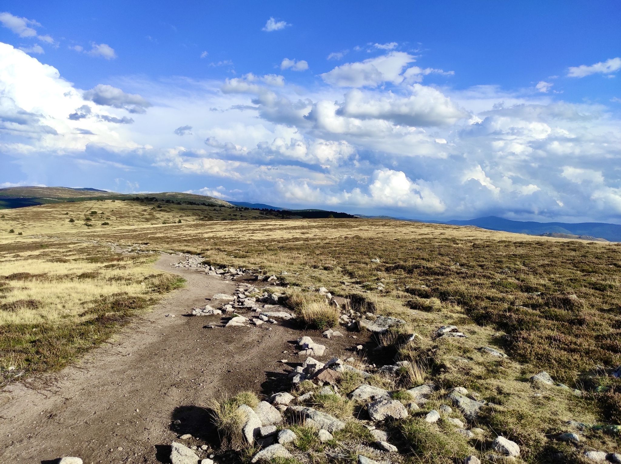
In the footsteps of Modestine — the Stevenson Trail (GR 70)
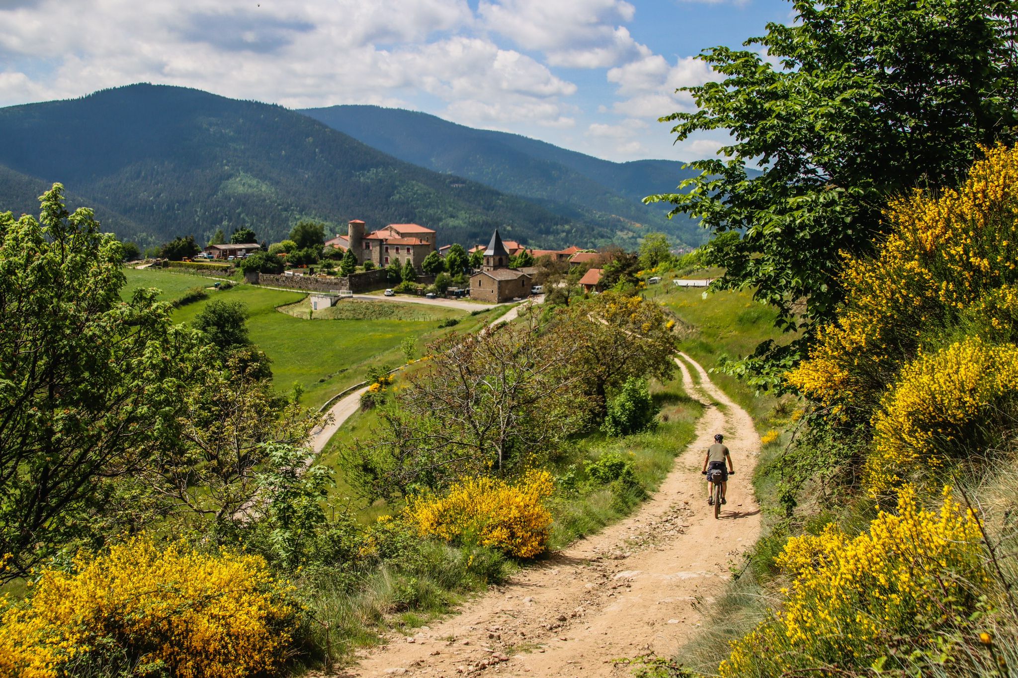
Grande Traversée de l'Ardèche (GTA) – Mountain biking
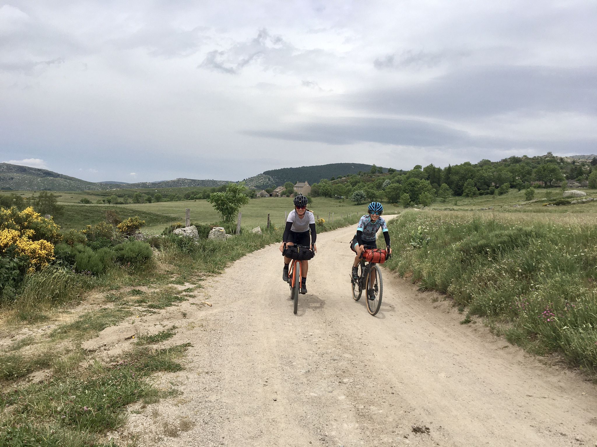
Ardèche Cévennes Divide – Bikepacking on a gravel bike
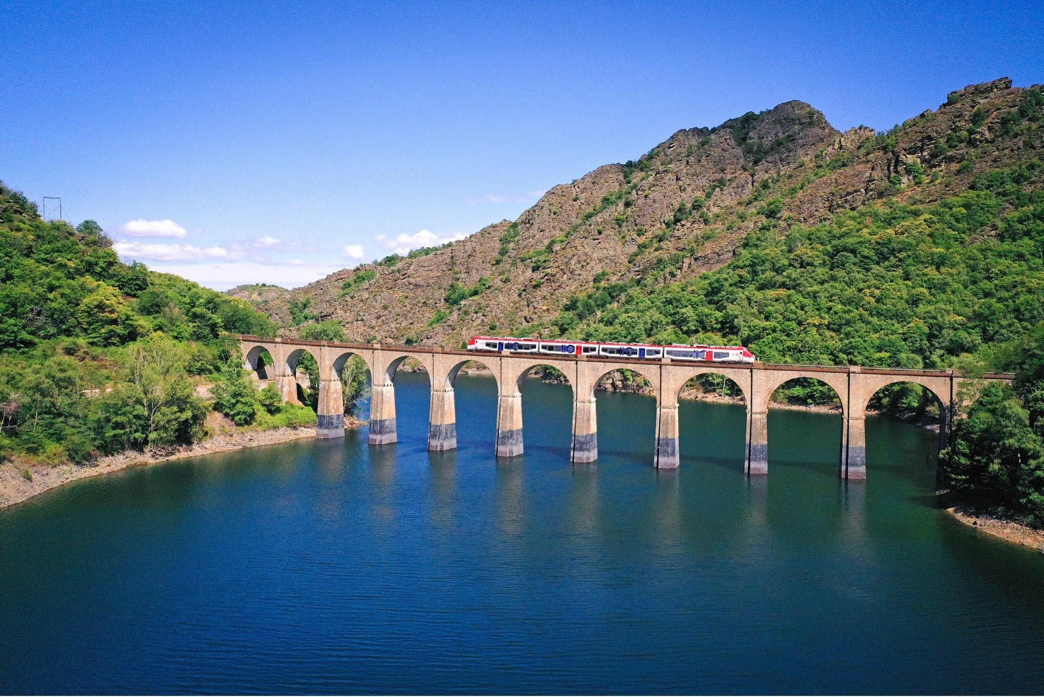
Routes between Nîmes and Mende – cycling by train with liO
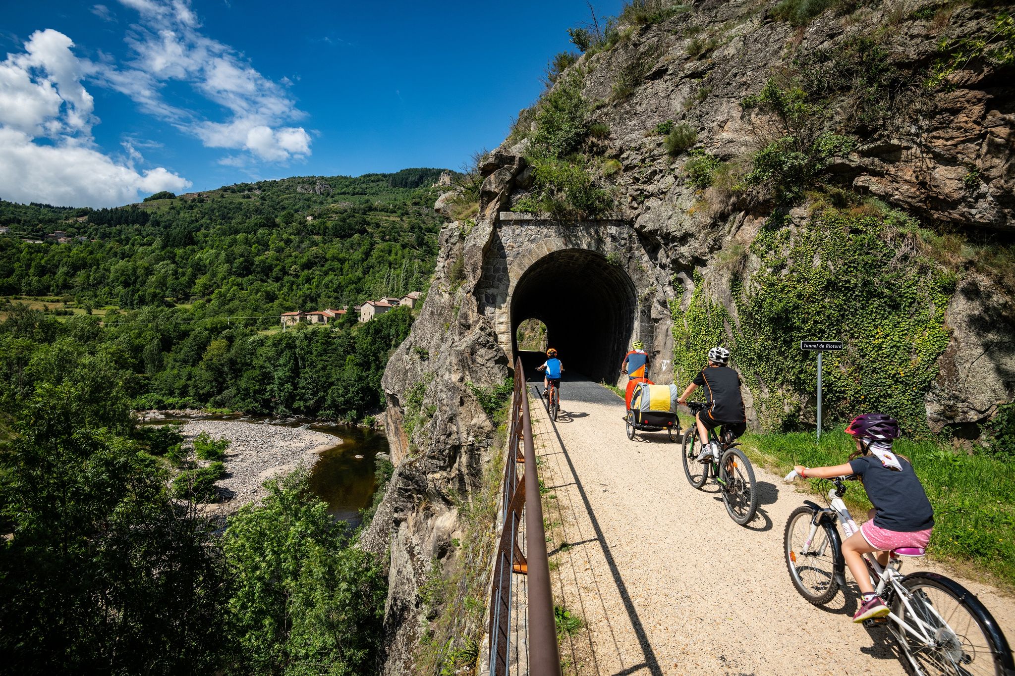
Cycle routes in the footsteps of the railway in the Ardèche
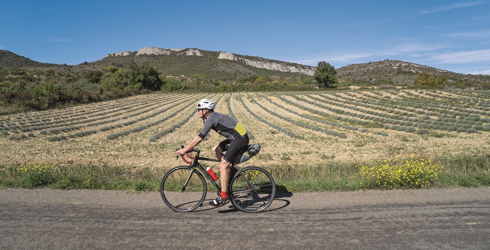
Road cycling tours along the Ardèche
Other adventures around Largentière


Tips from the Community

The path to the waterfall with swimming holes has been closed since 2022, access forbidden!
0
0
A 2014 municipal decree prohibits access due to falling rocks. We had to turn back. A big disappointment.
1
0

Sleeping village with 1 good restaurant and mini suler market
0
0
A double waterfall, a 5-minute walk from the parking lot. It doesn't flow year-round, only after the rains, but it's worth the detour nonetheless. Let your imagination recreate it, or come back and see us in the spring!
0
0
Great, lots of water at the waterfall, just magnificent
0
0
the short path from Vernon to the titans has been closed by the Mairie ! arret prefectorial so you need to take the road
0
0

The Sompe gour is a must-see after the rains.
0
0

A lovingly created educational trail leads through the forest, presenting the region's trees on large flags, accompanied by cheerful, colorful pictures.
0
0
Frequently Asked Questions
How many waterfall hiking trails are there around Largentière?
The Largentière region offers a good selection of waterfall hiking trails, with over 35 routes available to explore. These trails vary in difficulty, including 17 easy, 16 moderate, and 2 difficult options, ensuring there's something for every hiker.
What is the best time of year to explore waterfall hikes in the Largentière region?
The Ardèche region, including Largentière, is beautiful throughout the year. Spring and autumn offer pleasant temperatures and vibrant scenery, with chestnut forests displaying warm hues in autumn. Summer is ideal for enjoying the waterfalls as many spots are perfect for swimming and picnics, though it can be busier. Winter can also be beautiful, but some trails might be more challenging due to weather conditions.
What kind of terrain can I expect on waterfall hikes near Largentière?
Waterfall hikes around Largentière traverse the rugged and hilly terrain of the Ardèche, an extension of the Cévennes mountains. You'll encounter diverse landscapes including deep canyons, river valleys, volcanic scenery, and chestnut forests. Trails can range from easy paths to more challenging routes with varied elevation changes, offering a rich natural experience.
Can you tell me more about the Gour de la Sompe waterfall trails?
The Gour de la Sompe waterfall is a popular destination with several loop trails. One moderate option is the Gour de la Sompe (waterfall) – Gour de la Sompe Waterfall loop from Les Silhols, which is about 4.9 miles (7.9 km) long. Another moderate trail, the Gour de la Sompe Waterfall – Gour de la Sompe (waterfall) loop from Chemin Royal, covers 6.9 miles (11.1 km) and leads through the scenic Ligne Valley. For a longer adventure, consider the Gour de la Sompe Waterfall – Gour de la Sompe (waterfall) loop from Les Salelles, a moderate 10.3-mile (16.5 km) route.
What is the difficulty level of the Cascade La Pissarelle loop?
The Cascade La Pissarelle – loop in the Parc naturel régional des Monts d'Ardèche is rated as a moderate hike. It spans approximately 8.2 miles (13.2 km) and involves a significant elevation gain of around 680 meters, typically taking about 4 hours and 30 minutes to complete. This route offers a good challenge through the varied landscapes of the regional natural park.
Are the waterfall hiking trails around Largentière suitable for families?
Yes, the Largentière region offers a variety of trails, including many easy and moderate options that are suitable for families. While specific family-friendly access points or amenities are not detailed for every waterfall, the diverse network of trails means you can find shorter, less strenuous walks perfect for all ages. Always check the route details for distance and elevation before heading out with children.
Are dogs allowed on the waterfall hiking trails near Largentière?
Many hiking trails in the Ardèche region are dog-friendly, especially if your dog is well-behaved and kept on a leash. It's always recommended to check local regulations or specific trail signs, particularly within protected areas like the Monts d'Ardèche Regional Natural Park, to ensure dogs are permitted. Remember to bring water for your pet and clean up after them.
What are some interesting landmarks or attractions I can see near the waterfall trails?
Beyond the waterfalls, the Largentière area is rich in natural and historical attractions. You can explore the iconic Pont d'Arc, a magnificent natural arch in the Ardèche Gorges, or visit charming medieval settlements like Vogüé. The region also features historical castles such as Roure Castle and the Château de Chastelas Ruins, offering a blend of natural beauty and cultural heritage.
Are there any circular waterfall walks available in the area?
Yes, many of the waterfall trails around Largentière are designed as circular routes, allowing you to start and end at the same point. For example, the popular Cascade La Pissarelle loop and the various Gour de la Sompe waterfall loops are excellent options for hikers who prefer to complete a full circuit.
What do other hikers enjoy the most about hiking in Largentière?
The Largentière region is highly rated by the komoot community, with an average score of 4.5 stars from over 12,300 reviews. Hikers frequently praise the diverse and picturesque landscapes, from the rugged Ardèche Gorges to the serene Ligne Valley. The well-maintained trails and the opportunity to discover stunning waterfalls and historical sites are often highlighted as key reasons for the area's popularity.
Are there options for easy waterfall walks for beginners?
Yes, the Largentière area offers 17 easy hiking routes, some of which lead to or feature waterfalls. These trails are generally shorter and have less elevation gain, making them ideal for beginners or those looking for a more relaxed experience. While specific easy waterfall routes are not detailed here, exploring the 'easy' filter on komoot will help you find suitable options.
Is public transport available to reach the waterfall hiking trailheads?
While Largentière itself is a hub, public transport options directly to specific remote trailheads for waterfalls can be limited. It's advisable to check local bus schedules for connections to nearby villages like Péreyres, Lagorce, or Labastide-sur-Bésorgues, which might serve as starting points for some trails. For ultimate flexibility, traveling by car is often recommended to access the more secluded waterfall locations.
Are there any amenities like cafes or restaurants near the waterfall trails?
Amenities like cafes and restaurants are more commonly found in the charming towns and villages surrounding the waterfall trails, such as Largentière itself or nearby settlements. While direct amenities at every trailhead might be scarce, you can often find places to eat or grab a coffee within a short drive from popular waterfall spots. It's always a good idea to pack snacks and water for the trail.
Most popular routes around Largentière
Most popular attractions around Largentière

Get inspired with the komoot mobile app


Didn’t find what you were looking for?
Check out more Hikes throughout Largentière below and find the perfect route in your destination.
Explore more
Browse the best Hikes in other regions.
