The best hikes from bus stations around Largentière
4.5
(13806)
65,685
hikers
337
hikes
Bus station hiking trails around Largentière provide access to the varied landscapes of the Ardèche department. The region is characterized by the scenic Ligne Valley, featuring wooded hills and the Ligne River. Deep valleys, wooded mountains, and dramatic gorges like the Ardèche Gorges define the terrain, with chestnut and lavender forests offering diverse environments. River valleys and captivating rock formations contribute to the varied hiking experiences available.
Best bus station hiking trails around Largentière
- The most popular bus station hiking route is Rocher d'Abraham Loop Trail, a 7.7 miles (12.4 km) trail that takes 5 hours 16 minutes to complete. This difficult route features significant elevation gain through wooded terrain.
- Another top favourite among local hikers is Endieu Gardens – Small cavity loop from Les Assions, a moderate 4.7 miles (7.6 km) path. This route explores gardens and small cavities, offering a mix of natural and cultivated scenery.
- Local hikers also love the Panoramic view of the cirque d'Estre – View of the Ardèche Gorge loop from Vallon-Pont-d'Arc, a 3.7 miles (5.9 km) trail leading through the dramatic Ardèche Gorge, often completed in about 2 hours 9 minutes.
- Hiking around Largentière is defined by deep river valleys, wooded mountains, and dramatic gorges. The network offers options for various ability levels, from moderate walks to more challenging ascents.
- The routes in Largentière are highly rated by the komoot community with an average score of 4.5 stars from more than 12,000 reviews. More than 60,000 hikers have used komoot to explore Largentière's varied terrain.
Last updated: July 2, 2026
4.4
(424)
1,485
hikers
5.99km
02:01
220m
220m
Moderate hike. Good fitness required. Mostly accessible paths. Sure-footedness required.
5.0
(2)
11
hikers
12.4km
05:16
890m
890m
Hard hike. Very good fitness required. Sure-footedness, sturdy shoes and alpine experience required.

Sign up for free
4.7
(178)
848
hikers
7.58km
02:23
160m
160m
Moderate hike. Good fitness required. Mostly accessible paths. Sure-footedness required.
4.8
(130)
477
hikers
7.65km
02:31
190m
190m
Moderate hike. Good fitness required. Mostly accessible paths. Sure-footedness required.
4.8
(65)
372
hikers
8.71km
02:23
90m
90m
Moderate hike. Good fitness required. Mostly accessible paths. Sure-footedness required.
Get access to more routes and recommendations from other explorers.
Sign up for free
Already have an account?
Our route recommendations are based on thousands of hikes, rides, and runs completed by other people on komoot.
Start today with a free account
Your next adventure awaits.
Login or Signup
Popular around Largentière
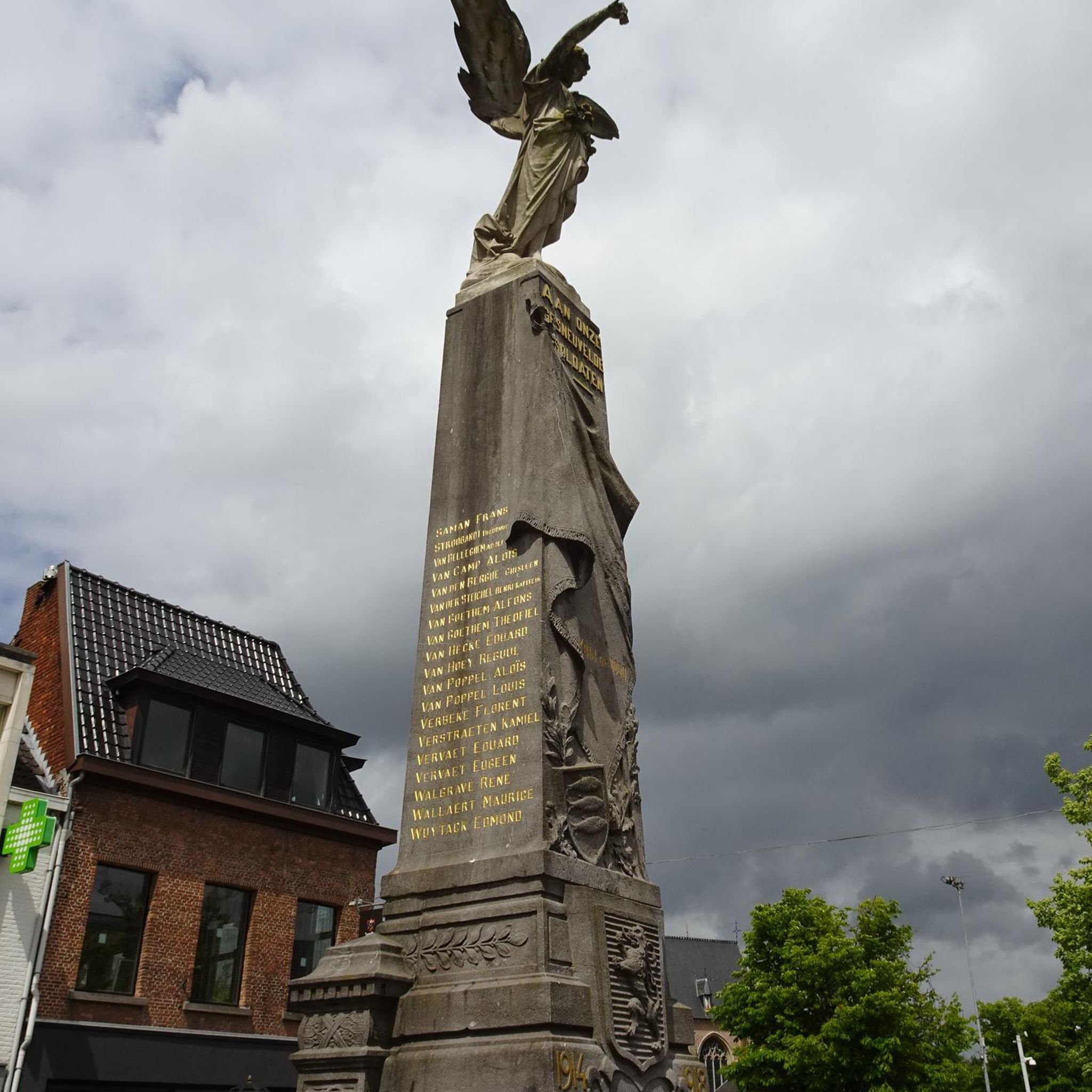
Hikes from bus stations in Monts D'Ardèche
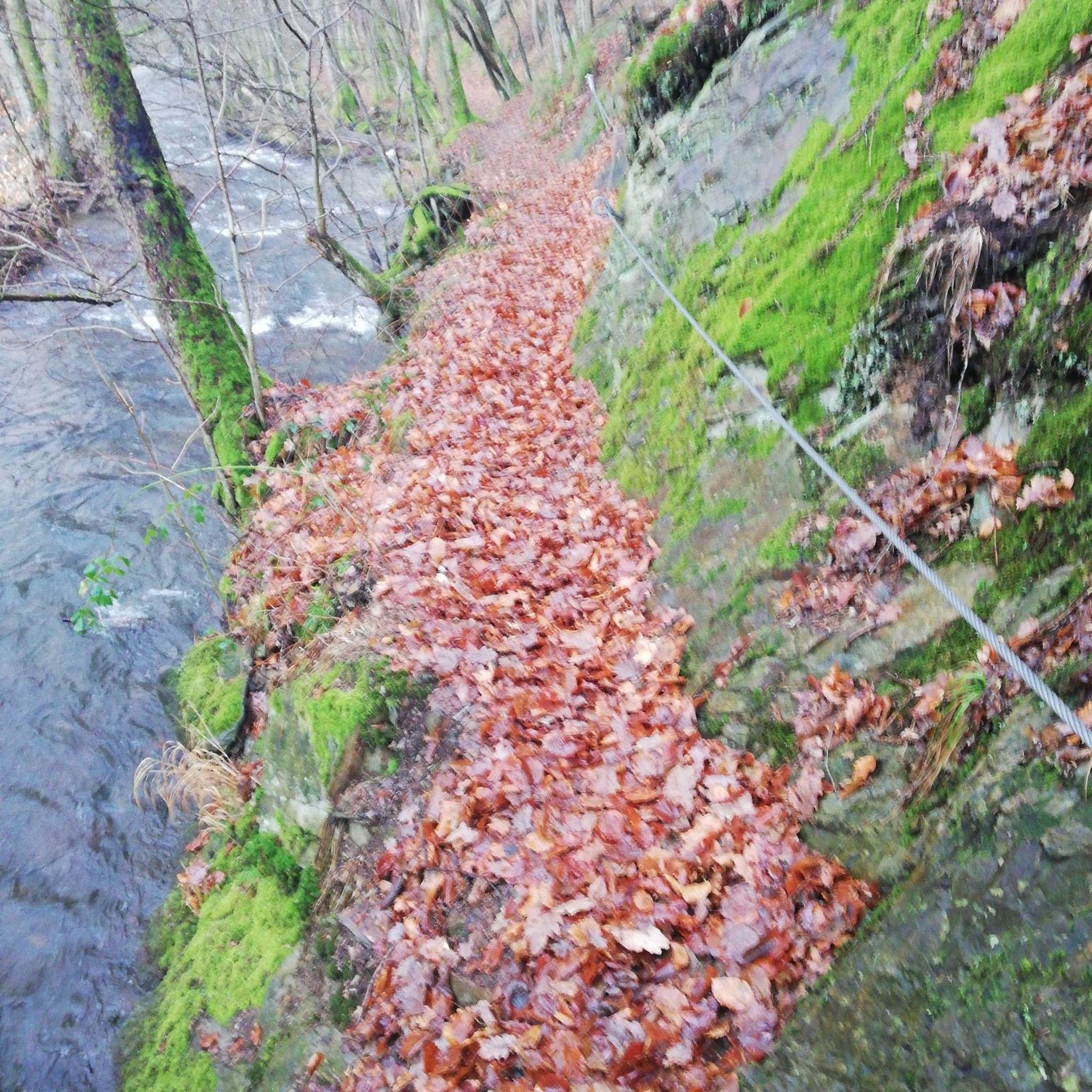
Hikes from bus stations in Bois De Païolive
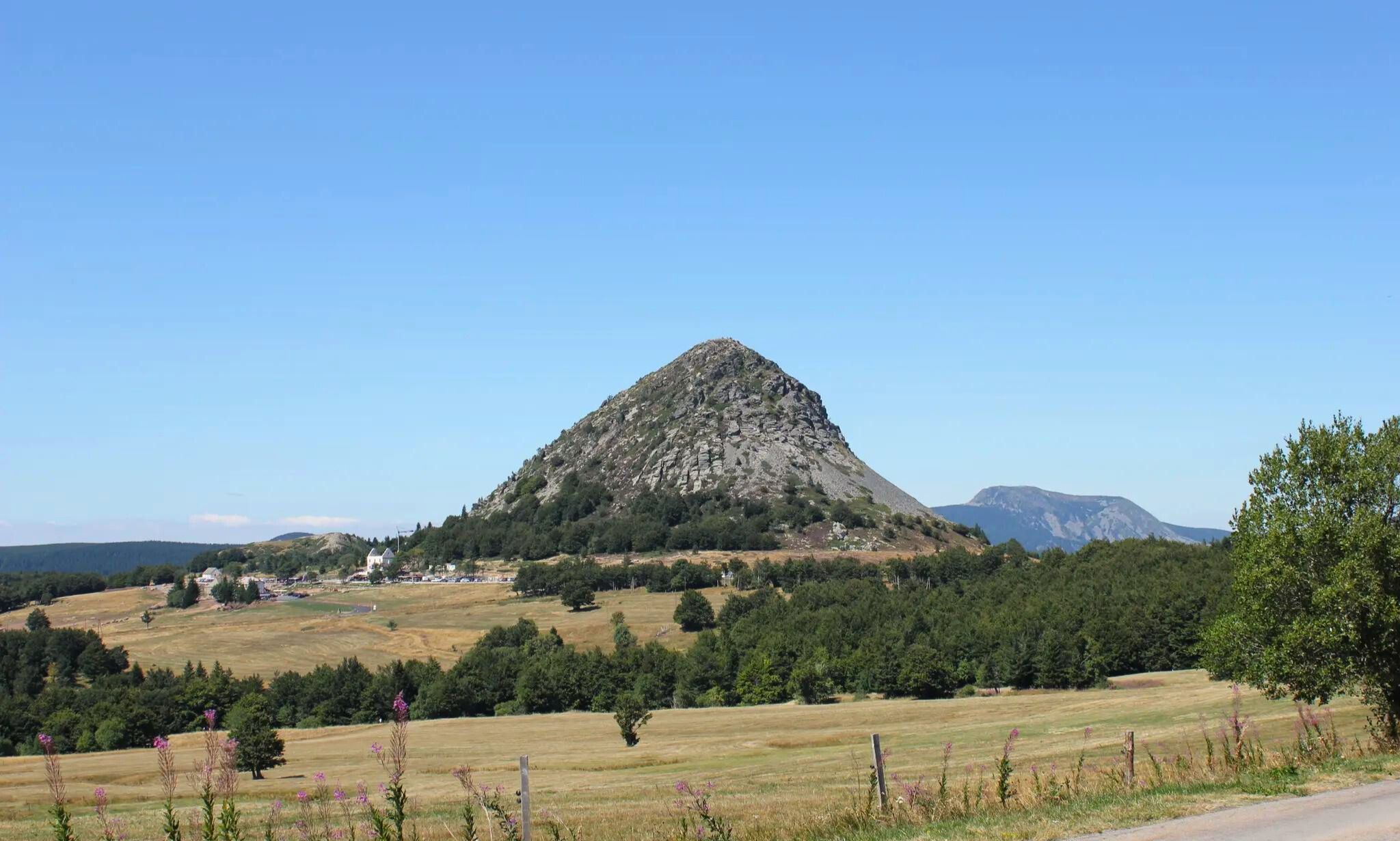
GR 3 between Puy-en-Velay and Gerbier de Jonc – The Loire from ocean to the source

Hexatrek – The Cévennes to the Pyrenees between gorges and limestone plateau
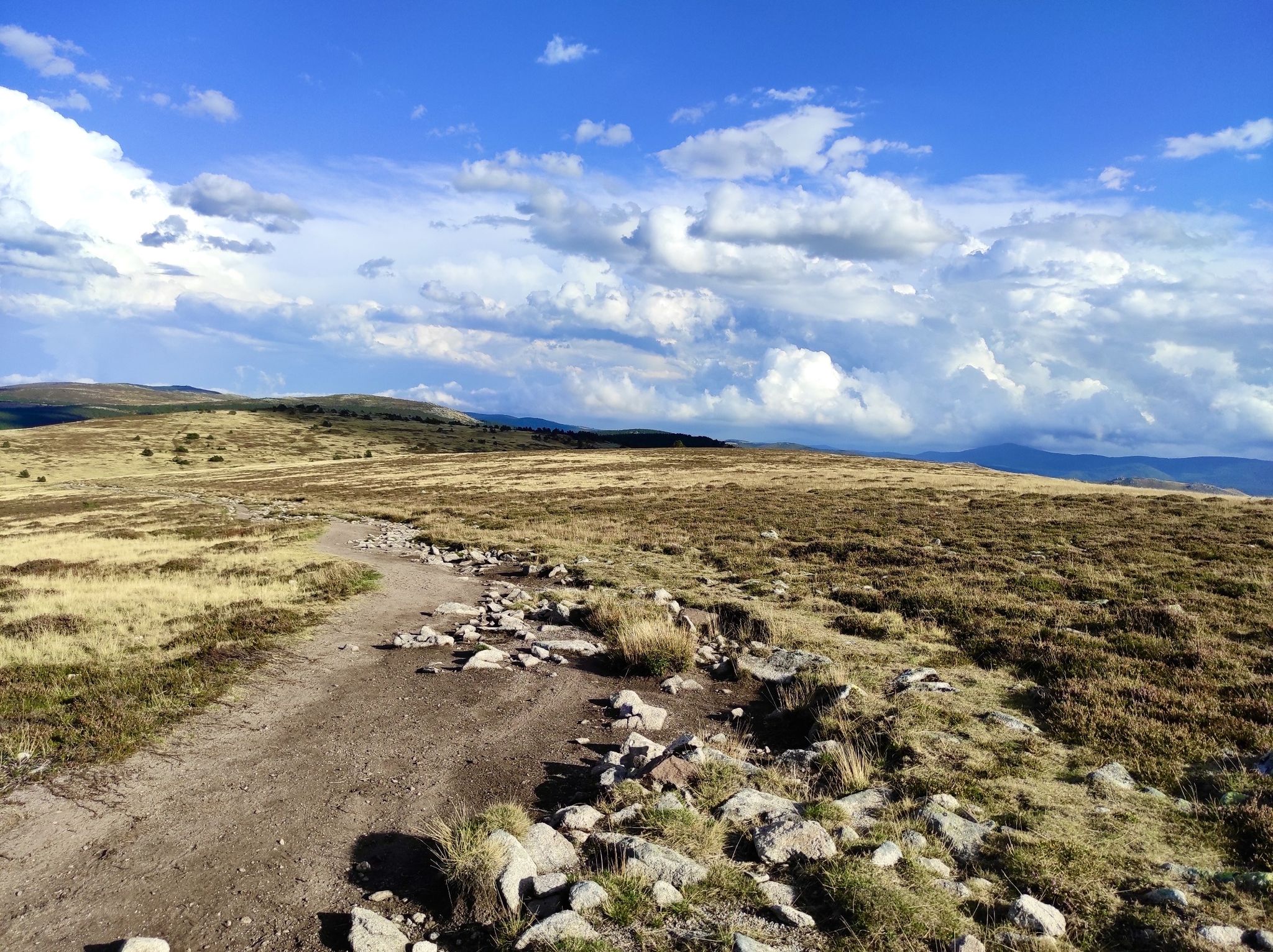
In the footsteps of Modestine — the Stevenson Trail (GR 70)
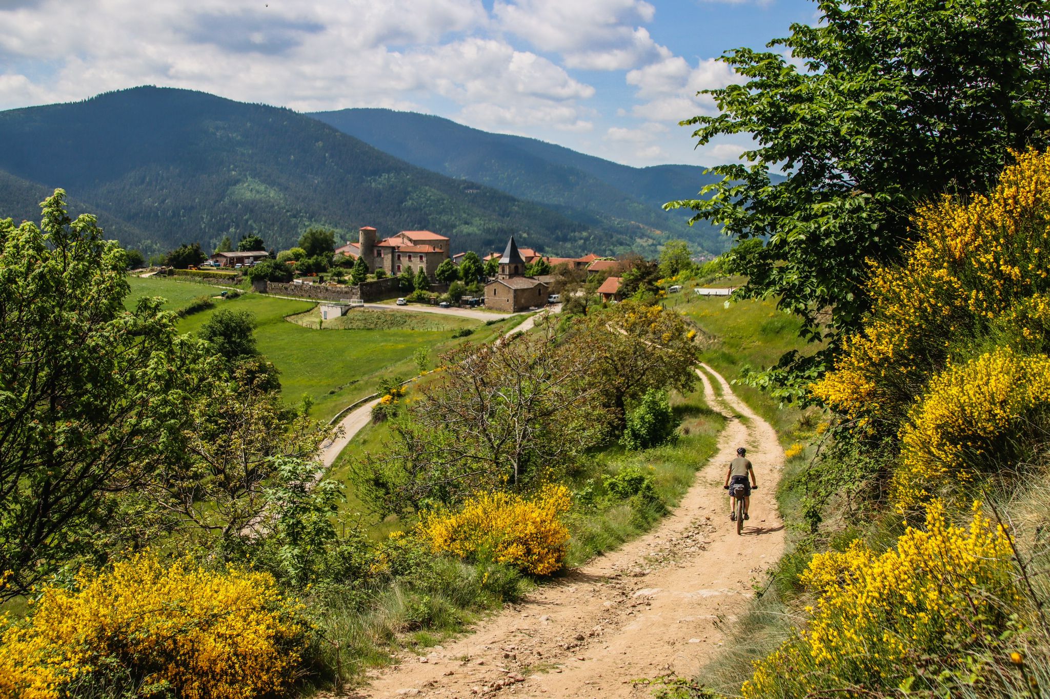
Grande Traversée de l'Ardèche (GTA) – Mountain biking
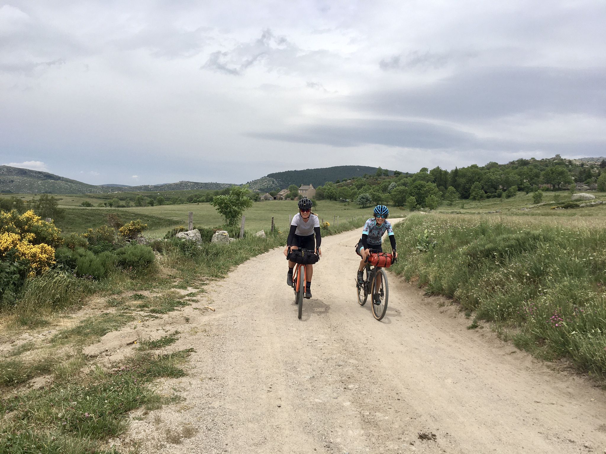
Ardèche Cévennes Divide – Bikepacking on a gravel bike
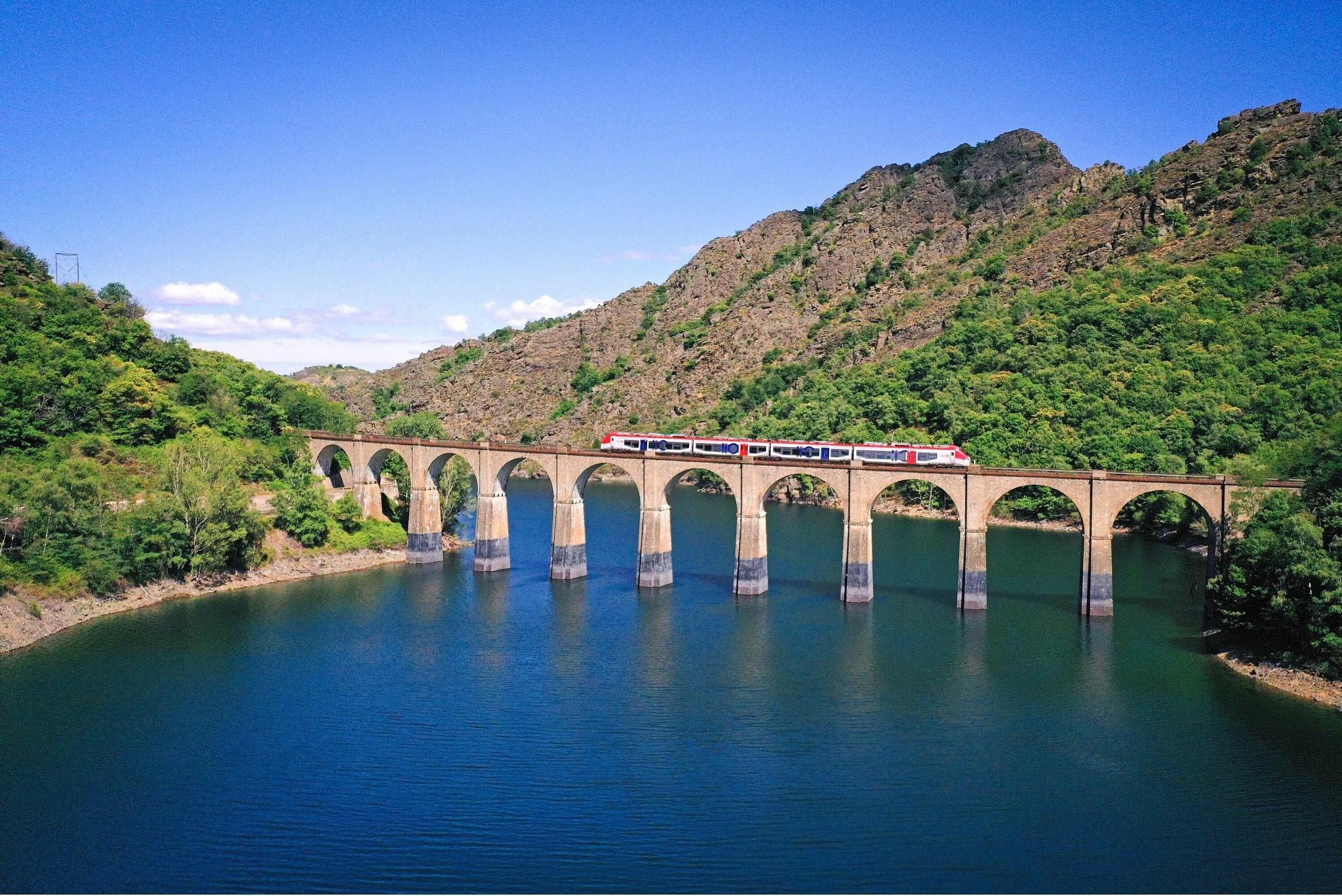
Routes between Nîmes and Mende – cycling by train with liO
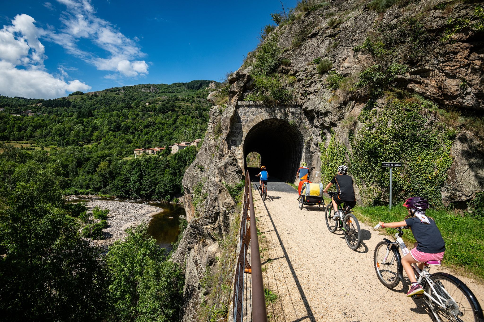
Cycle routes in the footsteps of the railway in the Ardèche
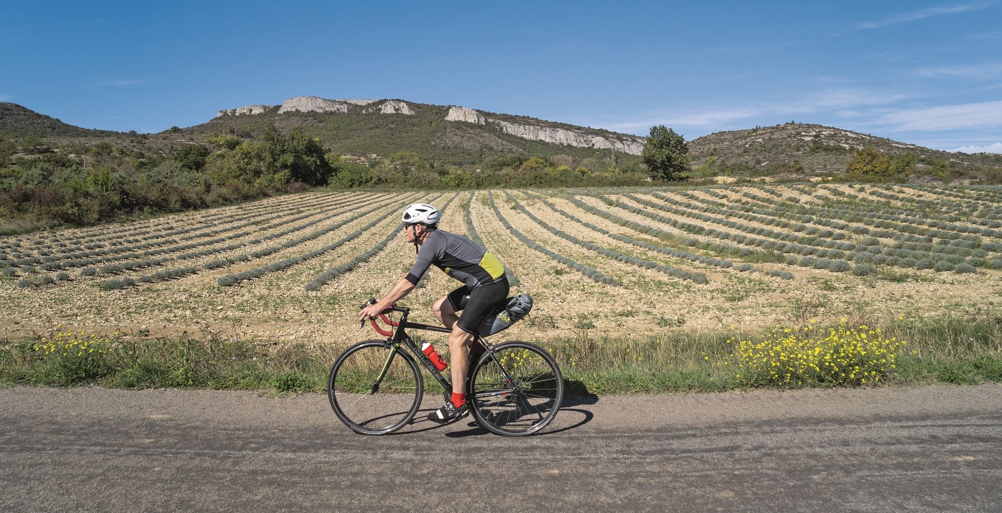
Road cycling tours along the Ardèche
Other adventures around Largentière


Tips from the Community

A beautiful bridge over the Ardèche, a beach area for playing in the water. A designated area is available.
0
0
beautiful walk with some climbing, good shoes are necessary
0
0

A small gap in the rock face, with a little skill you can climb up, but it's not a cave. Nevertheless, there's a beautiful view of the river.
1
0

Great views. Even if the hiking trails in the mountains are not always easy.
1
0

Very impressive plateau, you have the impression of entering the lands of an ancient civilization.
0
0


I wouldn't call this tour a hiking trail. The paths go over rocks, some of which are very high. Not suitable for children or dogs. Even for normal hikers it's borderline.
1
0

Frequently Asked Questions
How many hiking trails are accessible from bus stations around Largentière?
There are over 300 hiking routes in the Largentière area that can be accessed via public transport. These trails offer a wide range of experiences, from easy strolls to more challenging ascents, ensuring there's something for every hiker.
Are there easy hiking trails accessible from bus stations in Largentière?
Yes, approximately 74 of the bus-accessible trails around Largentière are rated as easy. These routes are perfect for a relaxed outing, often following the scenic Ligne Valley or exploring the charming medieval streets of Largentière itself. An example of a moderate but accessible trail is the Endieu Gardens – Small cavity loop from Les Assions, which offers gentle elevation.
Can I find circular hiking routes starting from bus stops in the Largentière area?
Many of the trails accessible by bus in Largentière are circular, allowing you to start and end your hike at the same point, often conveniently located near a bus stop. This makes planning your day trip straightforward without needing to arrange return transport. For instance, the Rocher d'Abraham Loop Trail is a challenging circular option.
What kind of natural landscapes can I expect to see on these bus-accessible trails?
The bus-accessible trails around Largentière traverse a diverse range of natural landscapes. You can expect to encounter the picturesque Ligne Valley, wooded hills, and the Ligne River. Further afield, some routes may offer glimpses of the dramatic Ardèche Gorges, impressive rock formations, and the lush chestnut and lavender forests characteristic of the Ardèche Cévennes.
Are there any historical or cultural points of interest along the bus station trails?
Absolutely. Largentière itself is a medieval town with a rich history, featuring a 12th-to-15th-century château, a 13th-century church, and ancient houses. Many trails will lead you through or near these historical sites. Additionally, you might encounter charming settlements like Vogüé or View of Labeaume, or even pass by impressive structures such as Roure Castle.
Are the bus station hiking trails in Largentière suitable for families with children?
Yes, many bus-accessible trails in Largentière are suitable for families. There are numerous easy and moderate routes that offer manageable distances and gentle terrain, perfect for younger hikers. These trails often pass through charming villages or along riverbanks, providing engaging scenery for all ages. Look for routes with lower elevation gains and shorter durations for the best family experience.
Can I bring my dog on these bus-accessible hiking routes?
Many trails in the Largentière region are dog-friendly, allowing you to enjoy the outdoors with your canine companion. However, it's always recommended to check local regulations for specific trails, especially those passing through nature reserves or private lands. Ensure your dog is on a leash where required and that you carry waste bags. Always bring enough water for both yourself and your pet.
What are some notable viewpoints or vistas I can reach from a bus station hike?
The region around Largentière offers spectacular viewpoints. From certain bus-accessible trails, you might gain panoramic views of the Ligne Valley, the Ardèche Gorges, or the surrounding wooded mountains. For example, the Panoramic view of the cirque d'Estre offers stunning vistas of the Ardèche Gorge, and the Panoramic route overlooking the Ardèche is another highly rated viewpoint.
What is the best time of year to hike around Largentière using public transport?
Spring and autumn are generally considered the best seasons for hiking in Largentière. In spring, the landscape bursts with wildflowers, and the weather is pleasantly mild. Autumn brings vibrant colors to the chestnut and lavender forests, with comfortable temperatures. Summer can be hot, especially in the valleys, so early morning or late afternoon hikes are recommended, and always carry plenty of water. Winter offers a quieter experience, though some higher trails might be less accessible.
Are there any trails that lead to natural water features or swimming spots?
The Largentière region is rich in water features, with the Ligne River flowing through the valley and the famous Ardèche River nearby. Some bus-accessible trails may lead to scenic riverbanks or even natural swimming spots. The iconic Pont d'Arc, a natural arch over the Ardèche River, is a well-known spot for bathing and can be reached via routes like the Old bridge over the Ibie – View of the Pont d'Arc loop.
What do other hikers enjoy most about the bus station trails in Largentière?
The bus-accessible trails in Largentière are highly rated by the komoot community, with an average score of 4.48 stars. Reviewers often praise the diverse landscapes, the blend of natural beauty with historical charm, and the convenience of accessing trails without a car. Hikers particularly enjoy the well-maintained paths, the stunning viewpoints, and the opportunity to explore both the medieval town and the dramatic gorges of the Ardèche.
Most popular routes around Largentière
Most popular attractions around Largentière

Get inspired with the komoot mobile app


Didn’t find what you were looking for?
Check out more Hikes throughout Largentière below and find the perfect route in your destination.
Explore more
Browse the best Hikes in other regions.
