Top 5 Mountain Passes around Nantua
Best mountain passes around Nantua are located in the Ain department of France, nestled between lakes and mountains. The region offers diverse terrain, featuring routes through forests and high-altitude meadows. This area is known for its mountain passes, which provide varying levels of challenge and scenic views for outdoor enthusiasts.
Best mountain passes around Nantua
- The most popular mountain passes is Cuvéry Pass, a mountain_pass that is 14.4 kilometers long with an average gradient of between 5 and 6%. It offers a sustained climb popular among cyclists seeking a consistent effort.
- Another must-see spot is Col de Bérentin, a mountain_pass connecting the Valserine Valley to the Retord Plateau. Its ascent is gradual, and the road is little traveled, passing through beautiful Jura forests.
- Visitors also love Cuvillat Pass, a mountain_pass that connects Brénod to Champdor and reaches an altitude of 1,073 meters. It winds through forests and high-altitude meadows, offering an easily accessible route with little traffic.
- Nantua is known for challenging ascents, scenic routes, and diverse terrain. The region provides a variety of mountain passes to see and explore, suitable for different levels of outdoor activity.
- The mountain passes around Nantua are appreciated by the komoot community, with 6 highlights and 10 photos contributed by users.
Last updated: May 14, 2026
Col de Bérentin
Highlight • Mountain Pass
Translated by Google •
Tip by

Cuvéry Pass
Highlight • Mountain Pass
Translated by Google •
Tip by
Sign up now to discover places like this
Get recommendations on the best single tracks, peaks, & plenty of other exciting outdoor places.
Sign up for free
Belleroche Pass
Highlight (Segment) • Mountain Pass
Translated by Google •
Tip by

Cuvillat Pass
Highlight • Mountain Pass
Shaded and relatively accessible climb.
Translated by Google •
Tip by

Col de Matafelon
Highlight (Segment) • Mountain Pass
Translated by Google •
Tip by
Col de Colliard pass
Highlight • Mountain Pass
Translated by Google •
Tip by

Start today with a free account
Your next adventure awaits.
Login or Signup
Popular around Nantua
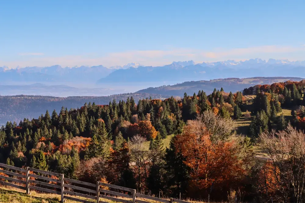
Grande Traversée du Jura en VTT — The Great Crossing of the Jura by MTB
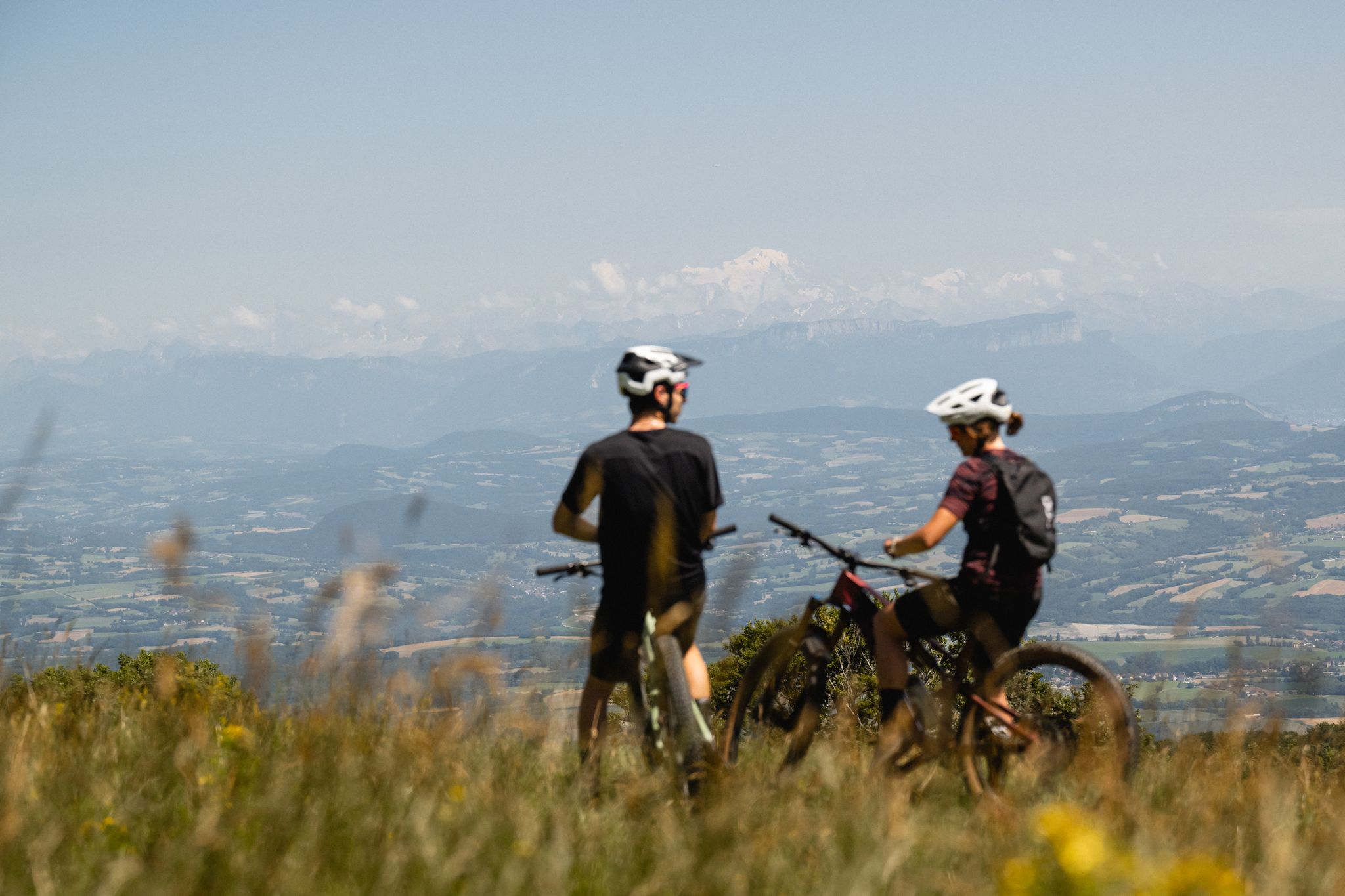
Gems of the Ain — MTB routes amidst natural beauty
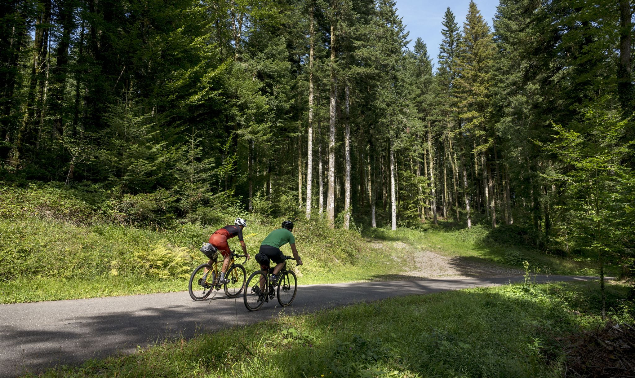
Grande Traversée du Jura - the gravel adventure
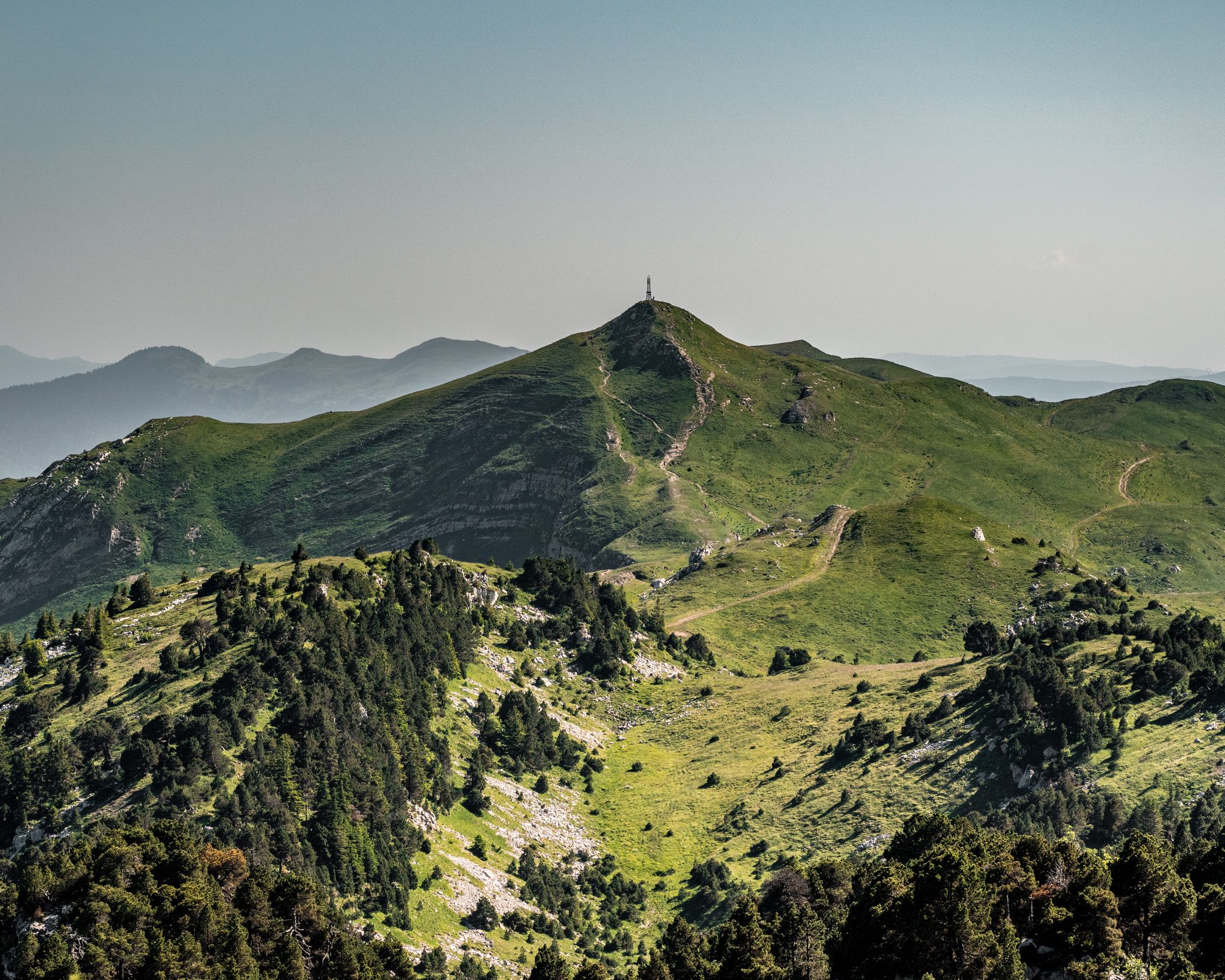
GRP Grand Tour de la Valserine
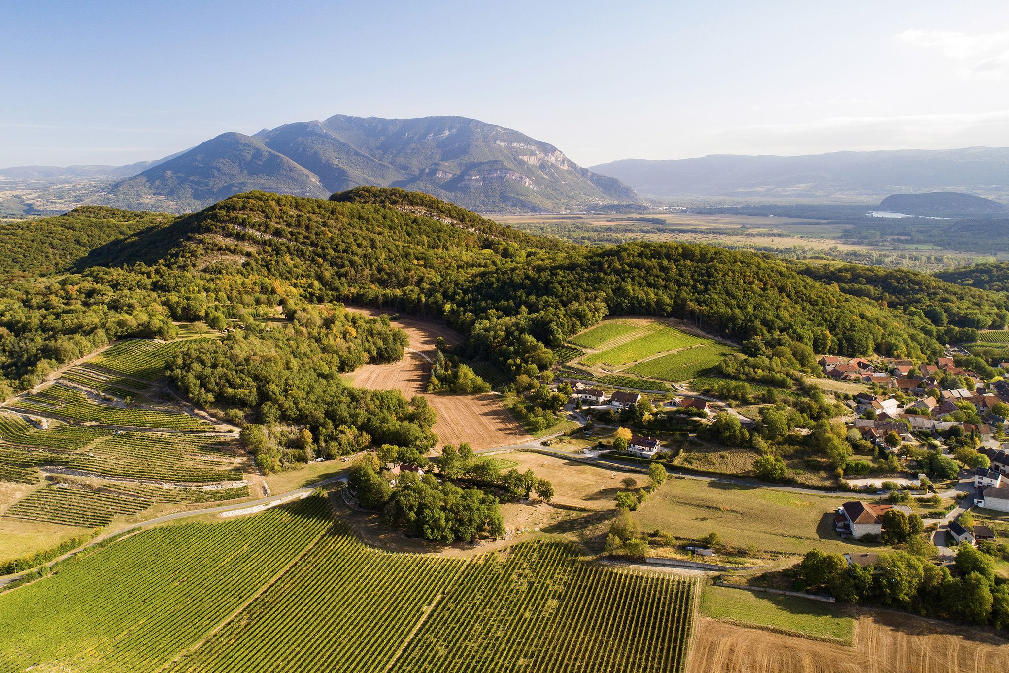
Cycling in the Ain – nature, heritage and the great outdoors
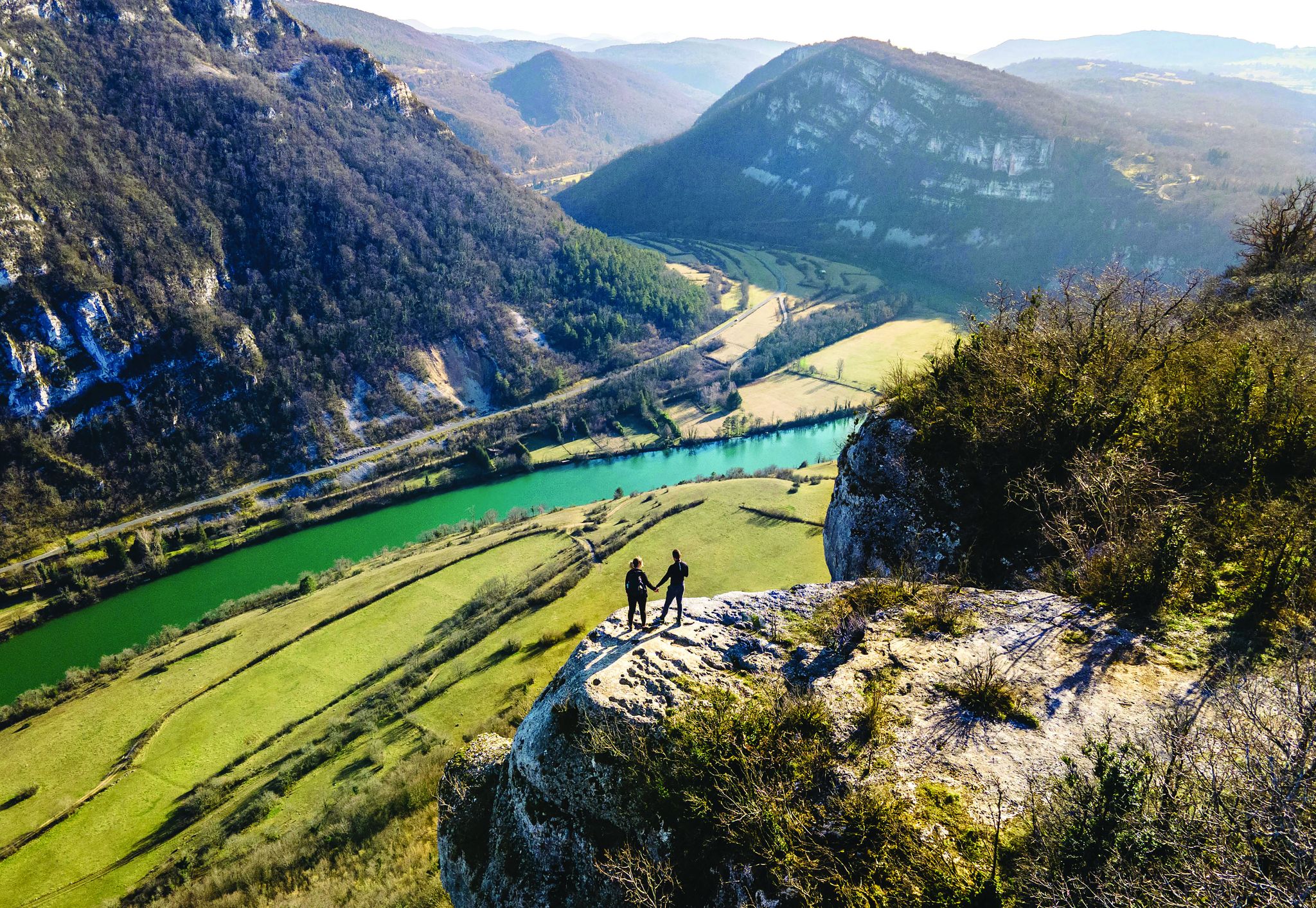
Secrets of the Ain – 10 wonderful watery hikes
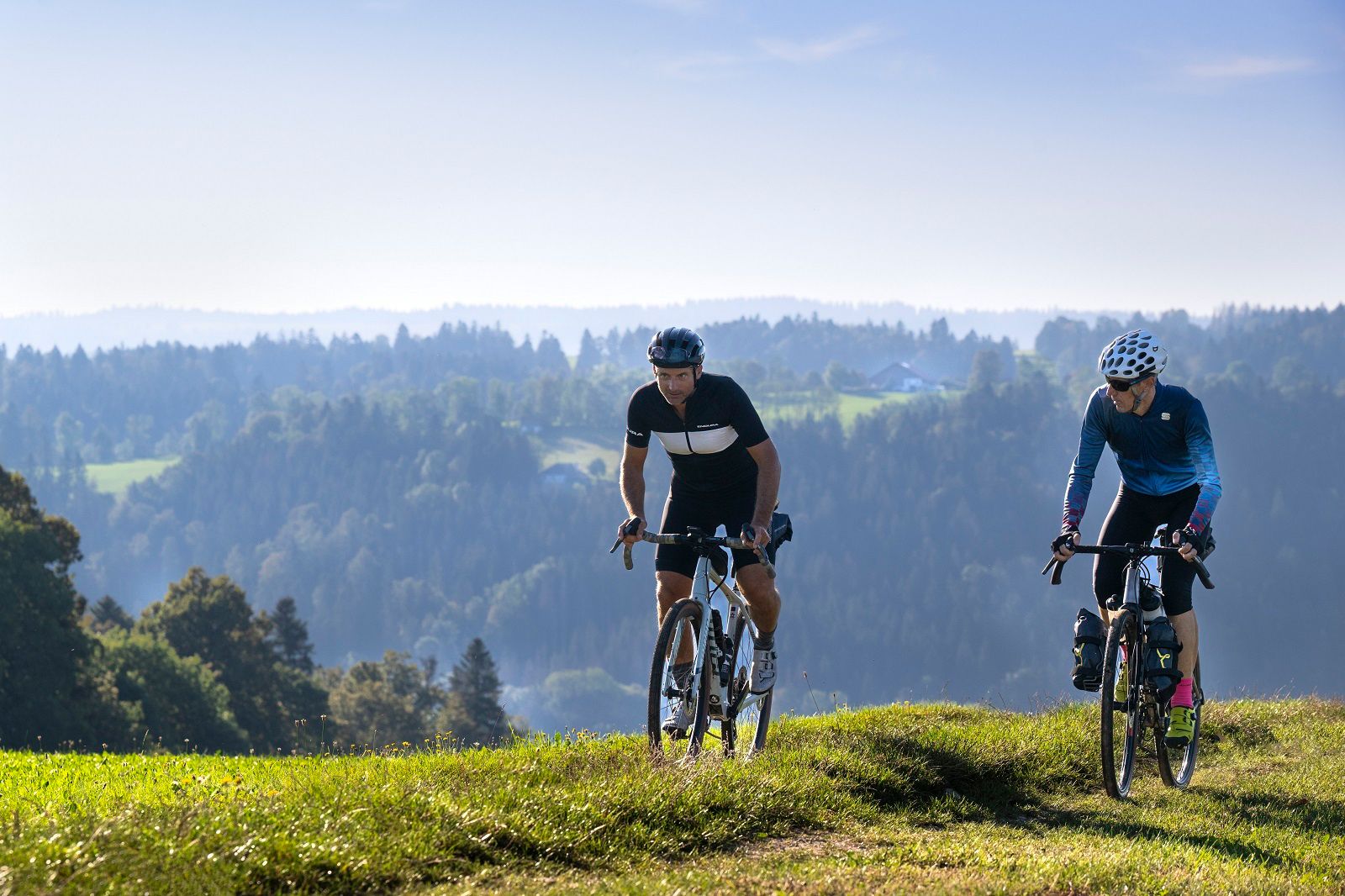
Gravel Tours in the Jura Mountains
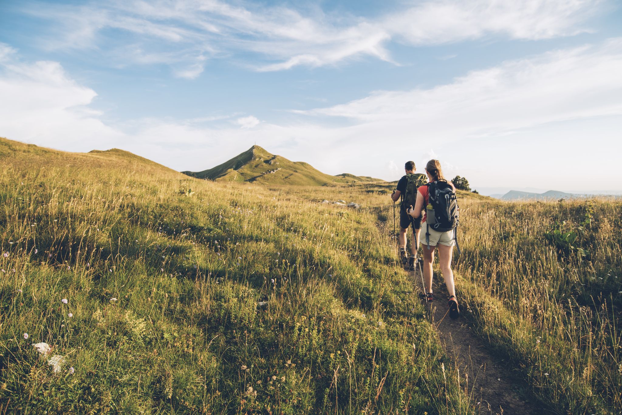
The thousand faces of the Jura Mountains – Grande Traversée du Jura on foot
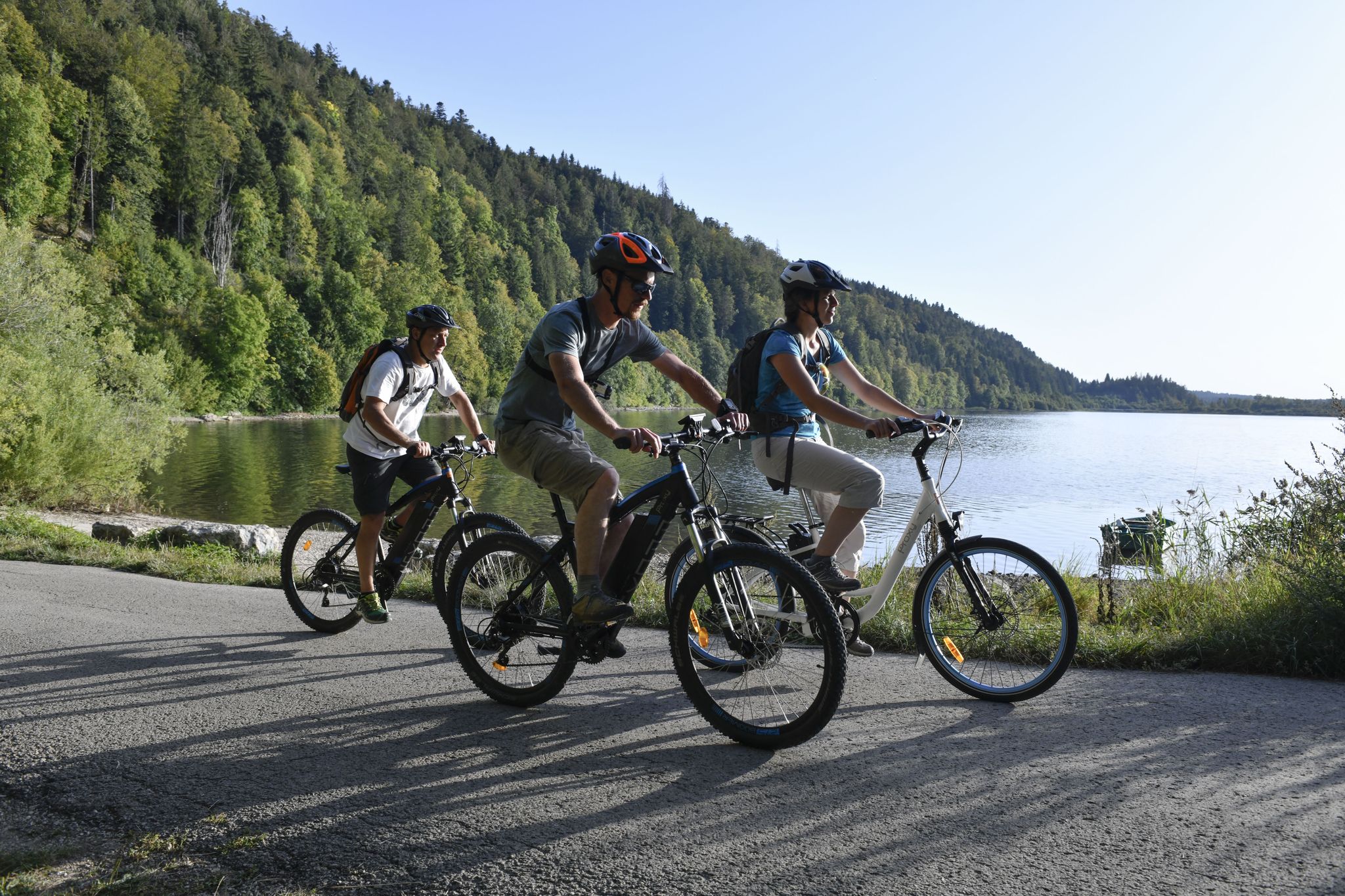
Wine, cheese and cycling – day trips in the French Jura Mountains
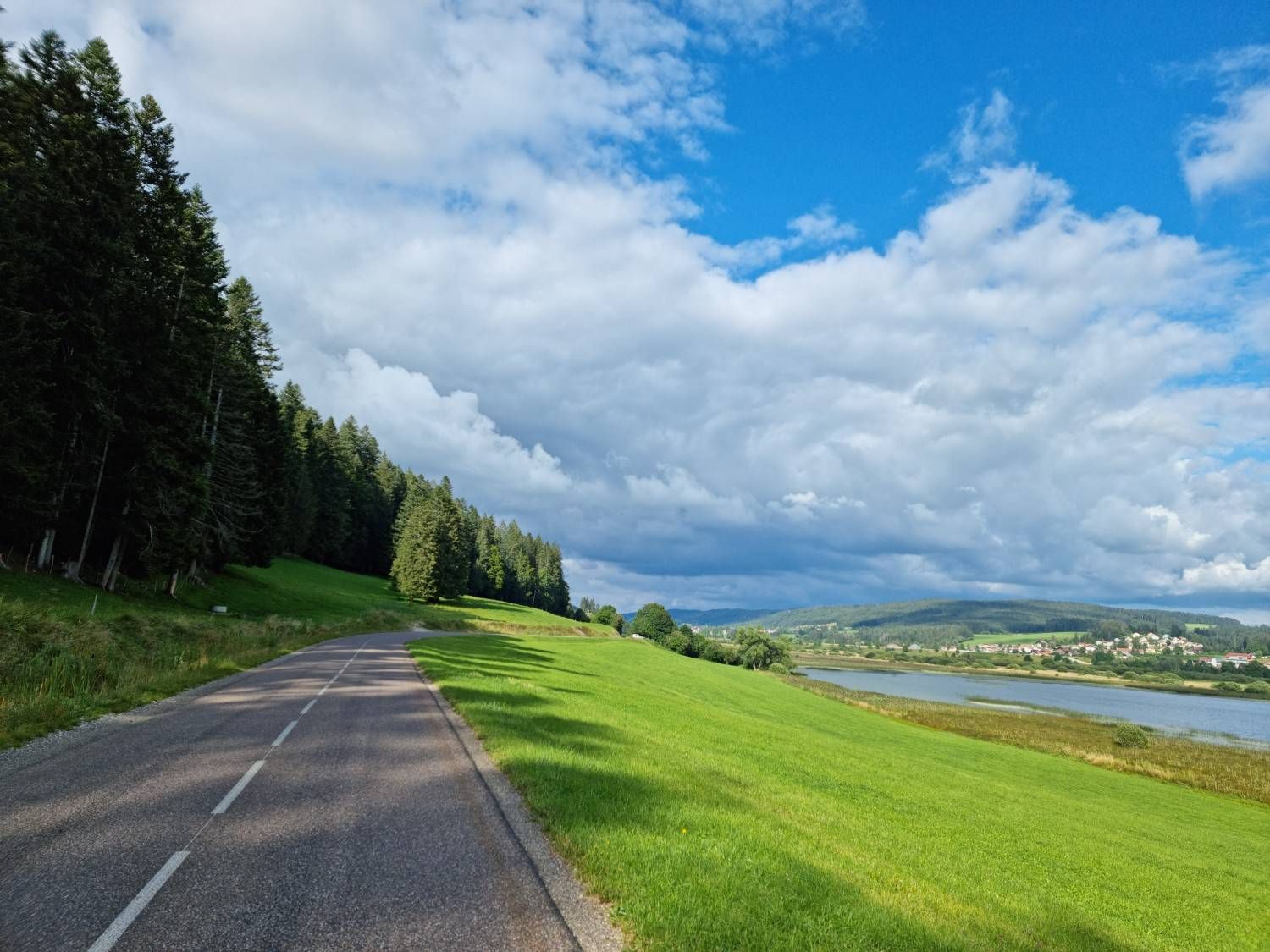
A history of borders — La Grande Traversée du Jura
Other adventures around Nantua


Tips from the Community

A 10 km climb from the small roundabout in Châtillon, it's more like 14 km from the Nantua road or the center of Bellegarde. The gradient is fairly steady, ranging from 5.5% to 7.2%, with about ten small steep sections at +8.5%. Very quiet, with very few cars. The road is generally in good condition, but nothing more. There are some beautiful views along the way.
1
1

The Col de Cuvillat connects Brénod to Champdor in the heart of Haut-Bugey. Easily accessible, it winds through forests and high-altitude meadows and reaches an altitude of 1,073 meters.
0
1
The Col de Bérentin connects the Valserine Valley to the Retord Plateau, passing through the beautiful Jura forests. Its ascent is gradual and the road is little traveled.
0
0


Small pass, but no way to drive into the valley on the D39. Road closed. I didn't even try.
3
0

Small, very quiet pass between valleys and forests with very few car passages.
0
0

Second pass for today. Pass elevation 1144 m above sea level. Long climb, basically from Saint Germain to here. A total of about 700 m elevation gain and 12 km. The gradient is only 4-6%, but with 20 kg of luggage, everything is difficult ;) Here, too, the weather was still quite cool in very early April. Partly rain, partly windy.
0
0

Rest after a 12 km climb from Saint-Germain-de-Joux.
0
0
Frequently Asked Questions
What kind of scenery can I expect when exploring mountain passes around Nantua?
The mountain passes around Nantua offer diverse and picturesque scenery. You can expect routes winding through dense forests, expansive high-altitude meadows, and stunning panoramic views, sometimes stretching towards Lake Geneva or across the Jura mountains. Passes like Cuvillat Pass are particularly known for their tranquil rides through forests and meadows.
Are there challenging mountain passes for experienced cyclists in the Nantua region?
Yes, the Nantua region is well-regarded for its challenging ascents. The Belleroche Pass, for instance, is approximately 12 kilometers long with a significant elevation gain and a maximum gradient of 9%, making it a rewarding climb for experienced cyclists. La Tour from Nantua is also classified as a challenging 2nd category climb, requiring good fitness and mountain gearing.
What are some less-trafficked mountain passes for a peaceful experience?
For a more peaceful and less-trafficked experience, consider the Col de Bérentin. It connects the Valserine Valley to the Retord Plateau with a gradual ascent through beautiful Jura forests, and the road is known to be little traveled. Similarly, Cuvillat Pass offers an easily accessible route with very few cars, ideal for a tranquil ride.
What outdoor activities can I do near the mountain passes around Nantua?
Beyond cycling the passes themselves, the Nantua area offers a variety of outdoor activities. You can find numerous hiking opportunities, including waterfall hikes and easy trails. For cyclists, there are extensive road cycling routes that incorporate many of the region's passes. Explore more options in the waterfall hikes, easy hikes, and road cycling guides for the Nantua region.
Are there any mountain passes suitable for a sustained, consistent cycling effort?
Yes, the Cuvéry Pass is an excellent choice for a sustained cycling effort. Starting from Bellegarde-sur-Valserine, it stretches for 14.4 kilometers with an average gradient of between 5% and 6%, offering a consistent climb popular among cyclists looking for a longer, steady challenge.
What do visitors enjoy most about the mountain passes in Nantua?
Visitors frequently appreciate the combination of physical challenge and breathtaking natural beauty. Many highlight the tranquil cycling experiences with very few cars, the winding routes through forests and high-altitude meadows, and the rewarding views. The diverse terrain caters to various skill levels, making it appealing to a broad range of outdoor enthusiasts.
Are there any mountain passes with notable viewpoints in the Nantua area?
While specific viewpoints are often found along many routes, passes like Col de Matafelon are noted for offering scenic views. Generally, the higher elevation passes and routes through the Jura mountains provide panoramic vistas of the surrounding landscapes, including glimpses of Lake Geneva.
What is the best time of year to visit the mountain passes around Nantua?
The best time to visit the mountain passes around Nantua is typically during the warmer months, from late spring to early autumn (May to October). During this period, the weather is generally favorable for cycling and hiking, and the high-altitude meadows are in full bloom, enhancing the scenic beauty. Winter can bring snow, making some passes inaccessible or requiring specialized equipment.
Are there any easy mountain passes to explore near Nantua?
While many passes offer a challenge, some provide a more accessible experience. The Cuvillat Pass, for example, is described as an easily accessible route with a steady gradient, making it suitable for those seeking a peaceful and scenic ride without extreme difficulty. Its shaded paths also contribute to a more comfortable climb.
Can I find circular routes that incorporate mountain passes in the Nantua region?
Yes, the region is well-suited for circular routes that incorporate mountain passes. Many cycling and hiking guides for the area feature loops that take in multiple passes or offer scenic circuits. For example, the Road Cycling Routes around Nantua guide includes loops like the 'Col de Cuvery Loop from Bellegarde' which integrates a significant pass into a longer ride.
Are there any passes that connect different valleys or plateaus?
Yes, several passes serve as important connectors in the region. The Col de Bérentin, for instance, connects the Valserine Valley to the Retord Plateau, offering a route through the beautiful Jura forests. Similarly, Cuvillat Pass connects Brénod to Champdor, facilitating travel between different areas of Haut-Bugey.
Most popular routes around Nantua
Most popular attractions around Nantua

Get inspired with the komoot mobile app


Didn’t find what you were looking for?
Find even more amazing mountain passes around Nantua organized by region:
Explore more
See even more epic mountain passes by checking out these guides around Nantua:
