The best walks and hikes around Nantua
4.4
(3657)
25,040
hikers
384
hikes
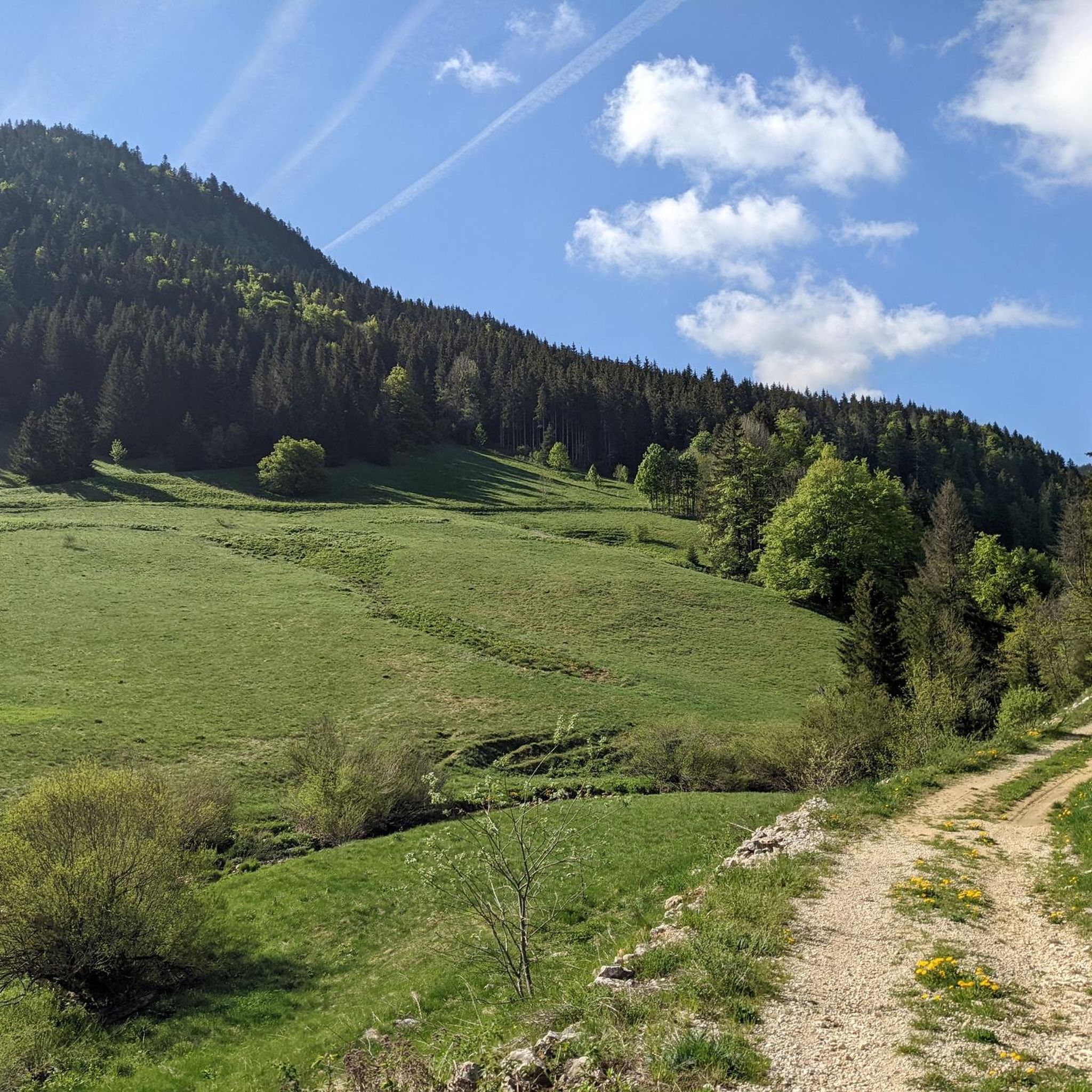
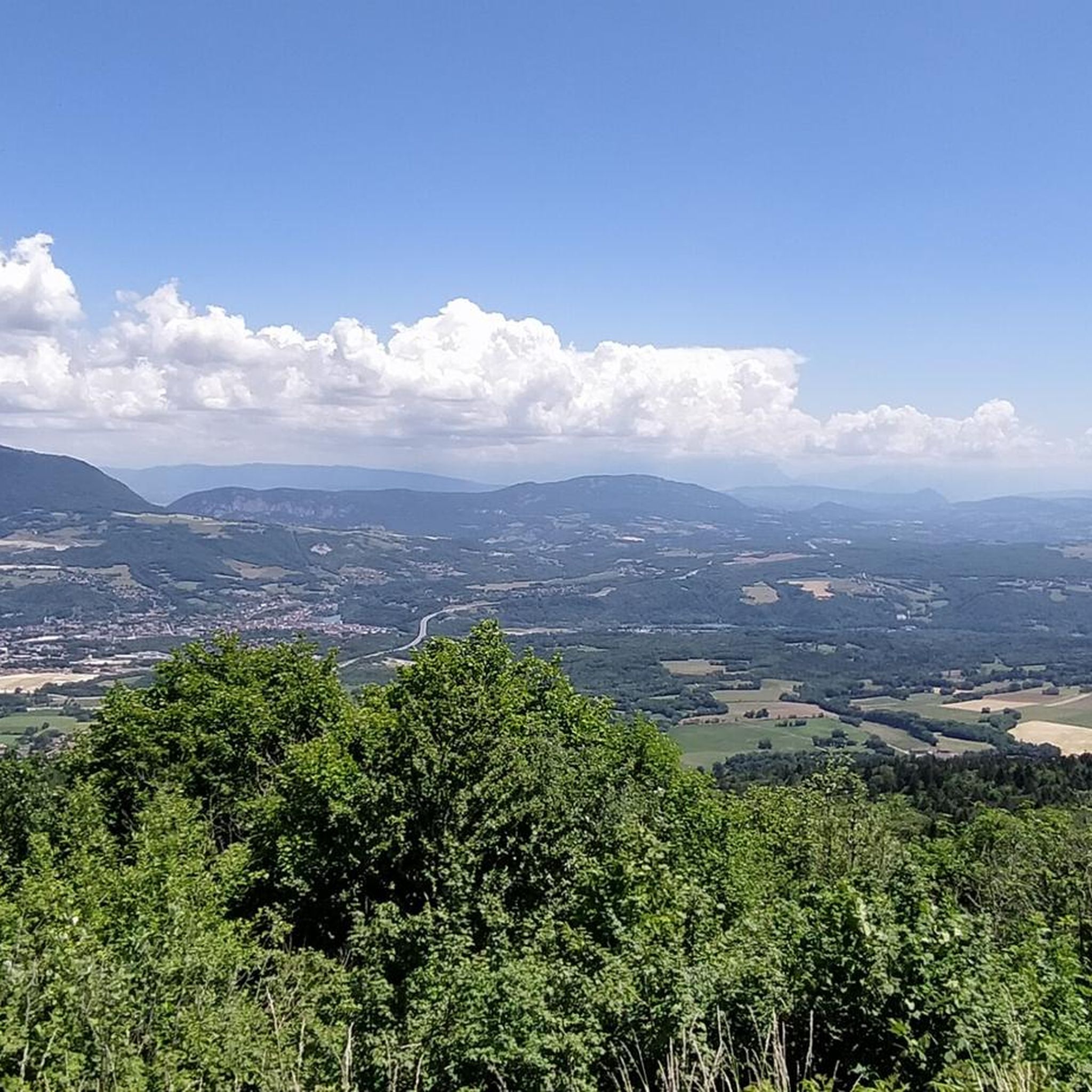
Hiking trails around Nantua are characterized by diverse natural landscapes in the Haut-Bugey region of France. The area features the glacial Lake Nantua, surrounded by dramatic limestone cliffs and the mountainous terrain of the Monts d'Ain. Hikers can explore serene waterscapes, deep river gorges carved by the Valserine, and elevated plateaus offering panoramic views. The region's geology provides a variety of trails through forests and open country.
Best hiking trails around Nantua
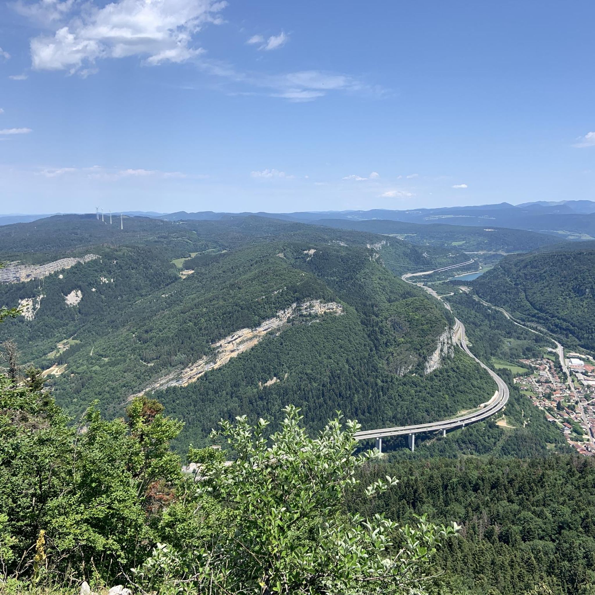
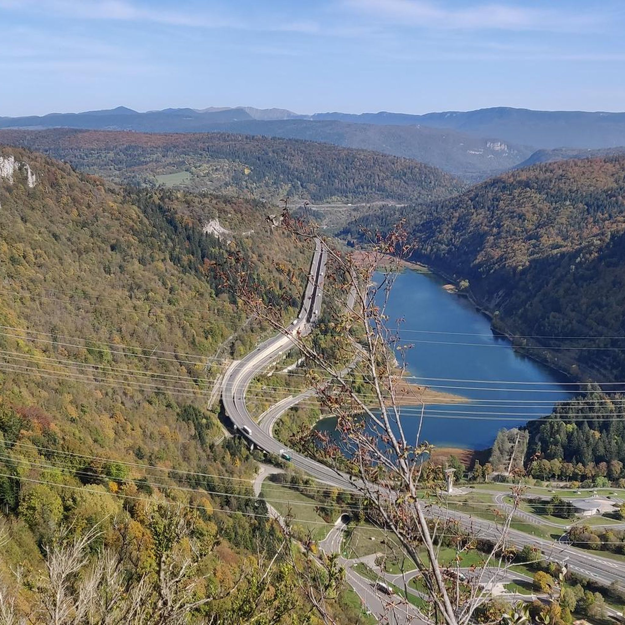
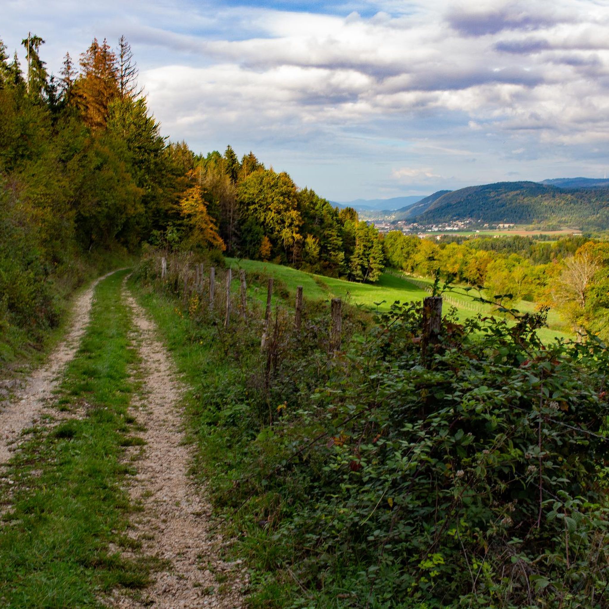
- The most popular hiking route is Tour des Fècles, a 6.1 miles (9.8 km) trail that takes about 3 hours 52 minutes to complete. This moderate route offers panoramic views over Nantua and its lake, passing through countryside and coniferous forest.
- Another top favourite among local hikers is Crêt de Chalam — loop in the Parc Naturel Régional du Haut-Jura, a moderate 3.0 miles (4.8 km) path. This loop provides a moderate hike within the regional natural park, suitable for various fitness levels.
- Local hikers also love the Valserine Valley, a 9.1 miles (14.6 km) trail leading through the Valserine river valley, often completed in about 4 hours 27 minutes.
- Hiking around Nantua is defined by glacial lakes, limestone cliffs, and river gorges. The network offers options for different ability levels, from easy walks to more challenging mountain ascents.
- The routes in Nantua are highly rated by the komoot community with an average score of 4.4 stars from over 1200 reviews. More than 8800 hikers have used komoot to explore Nantua's varied terrain.
Last updated: July 7, 2026
4.3
(41)
325
hikers
9.85km
03:52
440m
440m
Moderate hike. Good fitness required. Mostly accessible paths. Sure-footedness required.
4.3
(27)
232
hikers
4.78km
01:33
210m
210m
Moderate hike. Great for any fitness level. Mostly accessible paths. Sure-footedness required.

Sign up for free
4.3
(25)
110
hikers
14.6km
04:27
290m
290m
Moderate hike. Good fitness required. Mostly accessible paths. Sure-footedness required.
4.8
(21)
161
hikers
14.7km
05:06
550m
550m
Hard hike. Very good fitness required. Sure-footedness, sturdy shoes and alpine experience required.
4.7
(15)
105
hikers
5.34km
01:36
90m
90m
Moderate hike. Great for any fitness level. Mostly accessible paths. Sure-footedness required.
4.5
(15)
104
hikers
12.2km
03:48
480m
480m
Moderate hike. Good fitness required. Mostly accessible paths. Sure-footedness required.
4.6
(25)
111
hikers
13.8km
04:20
520m
520m
Moderate hike. Good fitness required. Easily-accessible paths. Suitable for all skill levels.
4.4
(13)
68
hikers
14.6km
04:15
410m
410m
Moderate hike. Good fitness required. Easily-accessible paths. Suitable for all skill levels.
4.3
(8)
72
hikers
19.8km
05:29
350m
340m
Hike the difficult 12.3-mile Retord - Balconies of Mont Blanc Trail in Plateau de Retord, offering diverse landscapes and Mont Blanc views.
4.2
(6)
15
hikers
6.63km
02:03
250m
240m
The Chapel Saint-Pierre de Mornay loop is a moderate 4.1-mile hike offering peaceful views and diverse terrain around the historic chapel.
Get access to more routes and recommendations from other explorers.
Sign up for free
Already have an account?
Our route recommendations are based on thousands of hikes, rides, and runs completed by other people on komoot.
Start today with a free account
Your next adventure awaits.
Login or Signup
Other adventures around Nantua


Tips from the Community

Very beautiful view even when Mont Blanc is shrouded in clouds, very peaceful
0
0
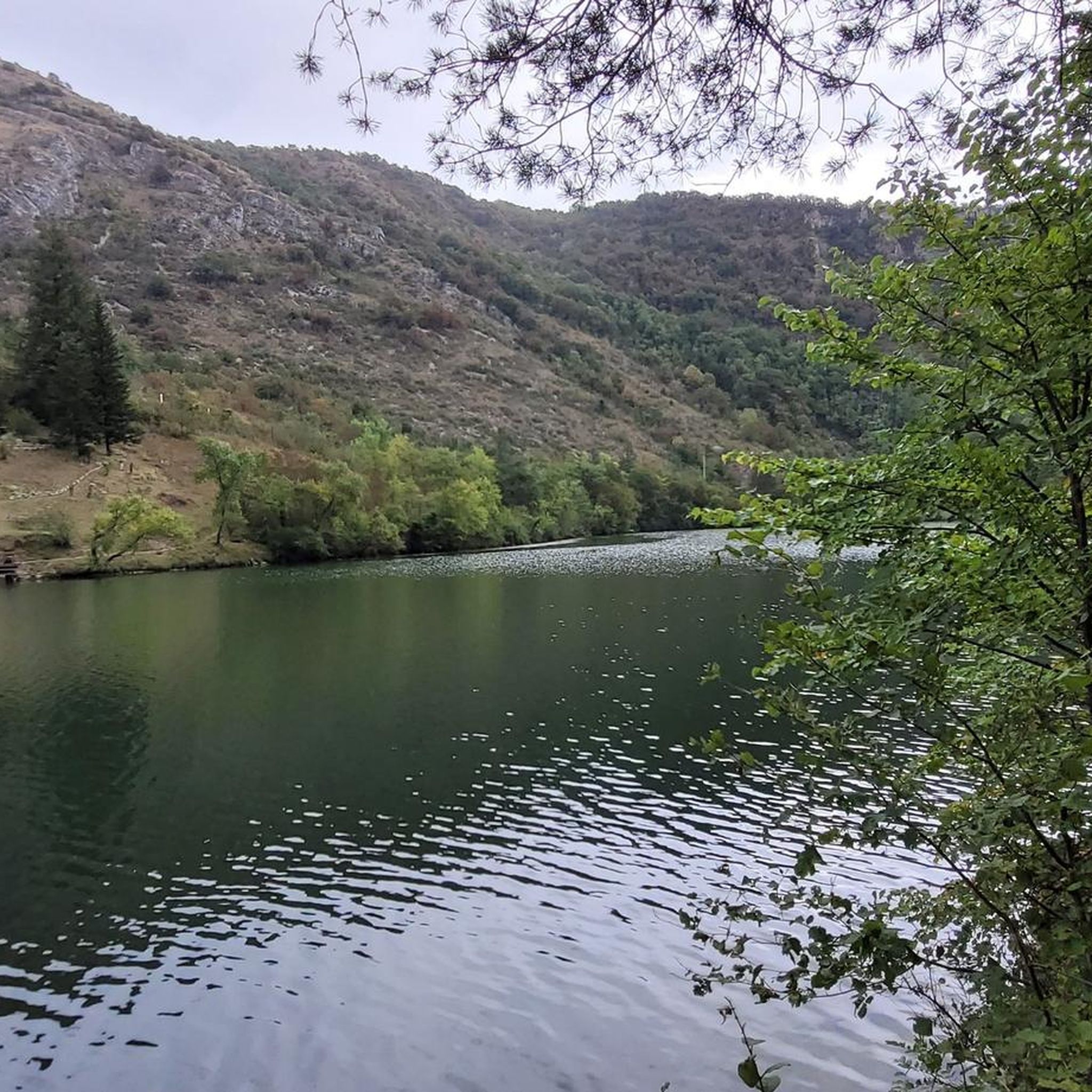
Beautiful, simple, easy walk; lots of traffic noise on the "road" section, a bit of a shame, but the color of the water is magical
1
0

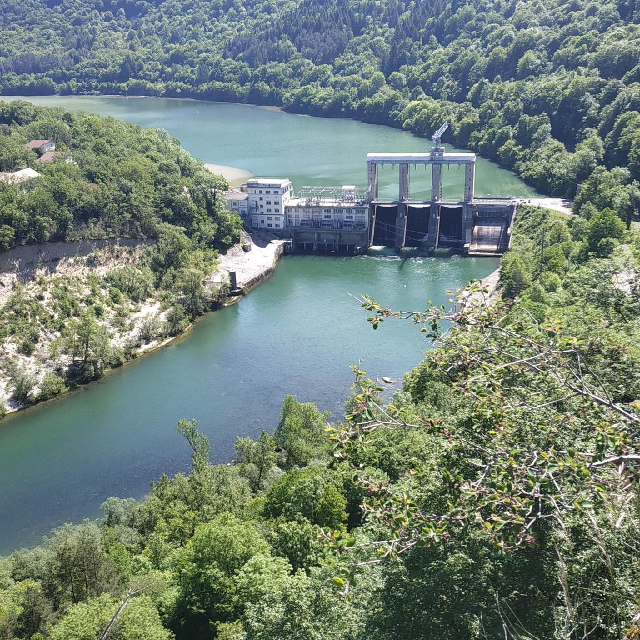
The river has regained its tranquility here, its course is more peaceful. It is the colors of the water that change. This phenomenon is just as fascinating as the rapids seen previously.
0
0
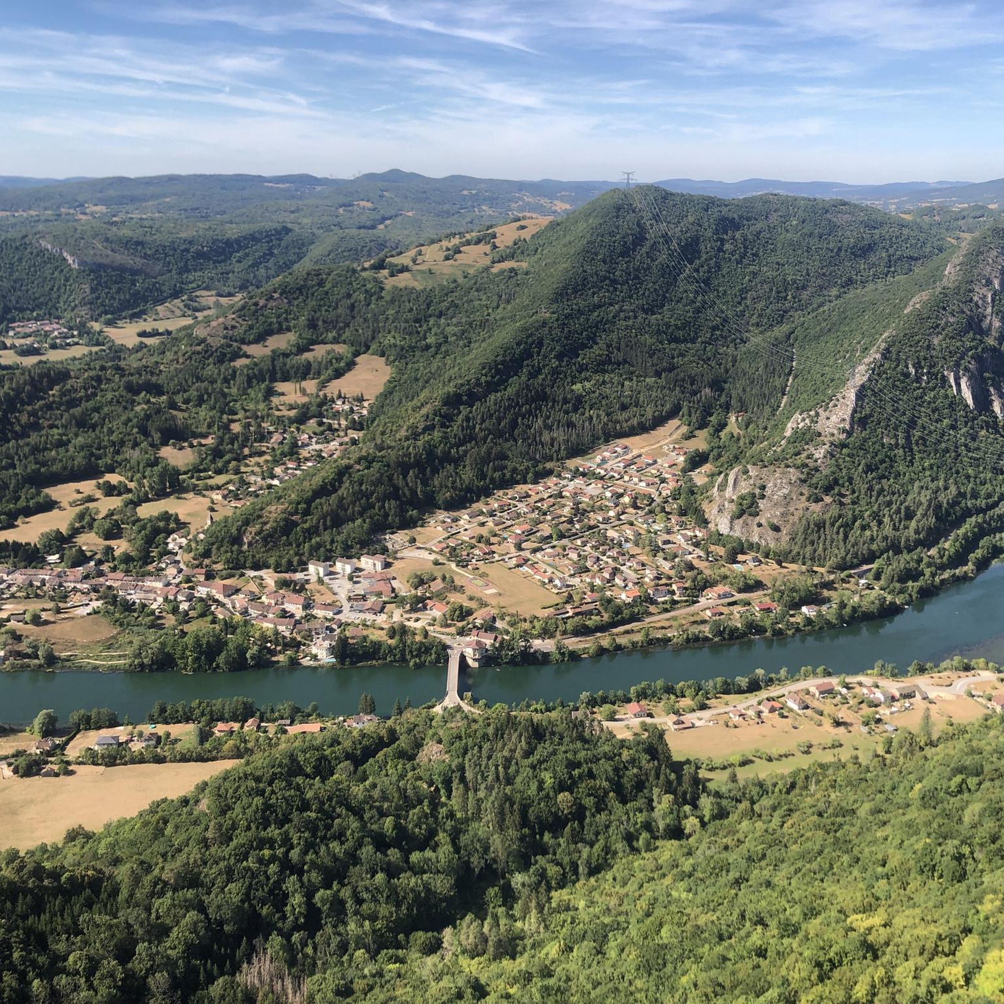
From this bridge, you have an absolutely incredible view overlooking the Valserine gorges. If you are prone to vertigo, do not go near the edge.
0
0
This paleontological site was discovered in 2009. It houses the longest sauropod footprint in the world. These tracks have been protected and showcased under a wooden canopy since 2021. The Dinoplagne site is a private site, open to visitors only from April to October and by reservation. Opening hours and contact details are available on the website: https://www.dinoplagne.fr/
1
0
This village is not to be confused with La Plagne, which is a ski resort. It was created in 1845 at the same time as the hamlet of Tré-Montréal. These two small towns previously came from the villages of Saint-Germain-de-Joux and Le Chaillet. Its fame is partly due to its dinosaur footprints. A place dedicated to the traces of these large sauropods was created near the village and took the name Dinoplagne.
0
0
The Chemin des Fècles offers a superb route. As you follow this path which passes from deep woods to steep cliffs, be extremely careful not to go too far to the edge of the void. Above all, respect the safety instructions.
1
0
Frequently Asked Questions
How many hiking trails are there in Nantua?
Nantua offers a wide variety of hiking experiences, with over 380 trails available. These routes cater to all levels, from easy strolls around the lakes to more challenging ascents in the Monts d'Ain.
Are there easy hiking trails suitable for families in Nantua?
Yes, Nantua is very family-friendly, with over 110 easy trails. The region offers accessible options like the 'Lange Gentle Path' connecting Oyonnax to Nantua, which is suitable for strollers and reduced mobility. Additionally, the 'Nantua Lake Route' provides a secure, mostly pedestrian and cyclist-reserved path around the lake, perfect for a leisurely family walk.
Can I find circular hiking routes around Nantua?
Absolutely. Many trails in the Nantua region are designed as loops, allowing you to start and end at the same point. Popular circular routes include the Tour des Fècles, offering panoramic views over the lake, and the Tour of Lac Genin, which circles a serene mountain lake.
What kind of natural landmarks can I see on hikes around Nantua?
The Nantua region is rich in natural beauty. You can explore the dramatic limestone cliffs surrounding Lake Nantua, discover the impressive gorges carved by the Valserine river at the Valserine Gorges, or visit the tranquil Lake Genin. The area's glacial history has shaped a diverse landscape of waterscapes and mountainous terrain.
Are there any hikes with great viewpoints in Nantua?
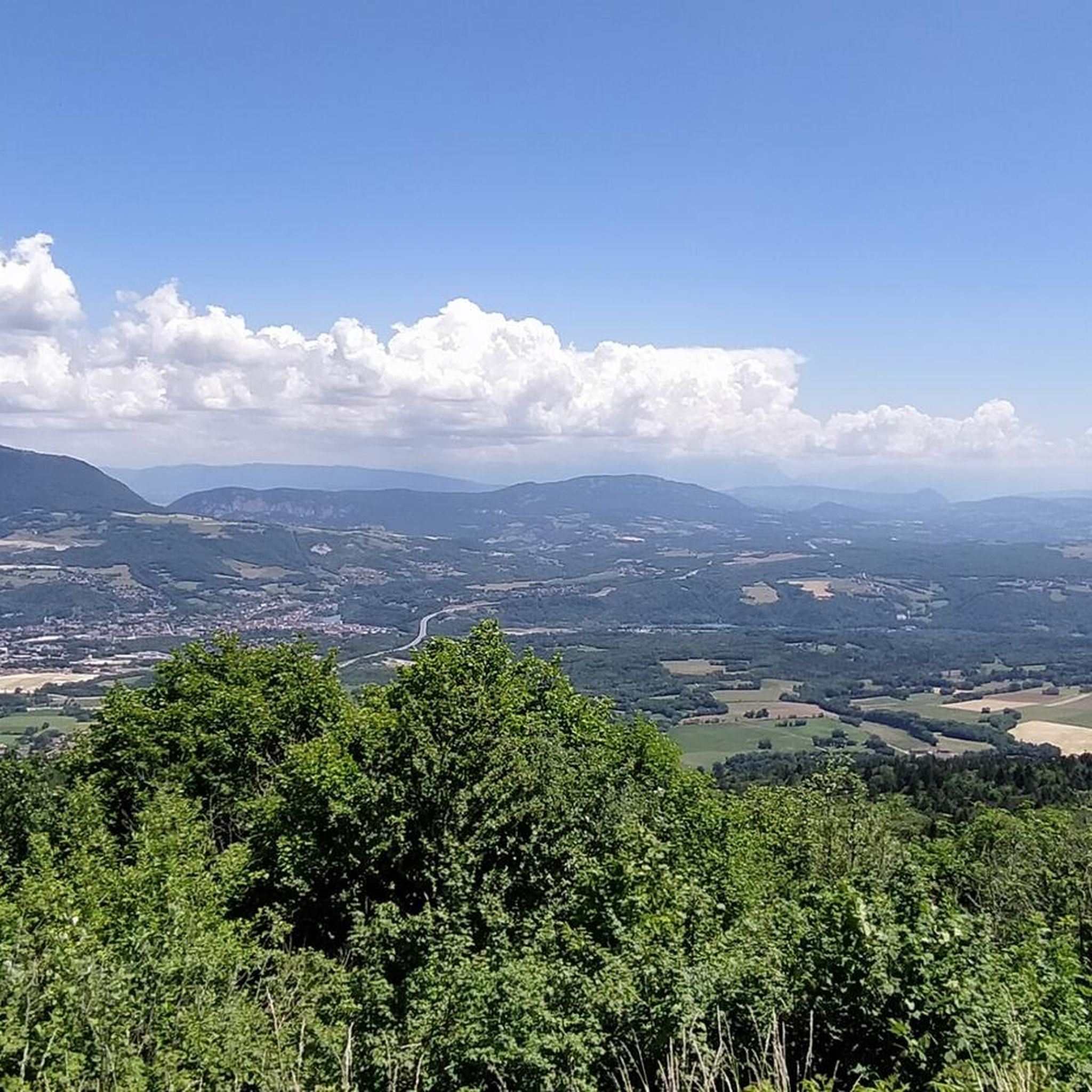
Yes, Nantua offers numerous trails with stunning panoramic views. The Tour des Fècles provides excellent vistas over Nantua and its lake. For more expansive views, consider routes that ascend into the Monts d'Ain or the Plateau de Retord, where on clear days, you might even catch a glimpse of Mont Blanc.
What is the best time of year to go hiking in Nantua?
The Nantua region is beautiful throughout the year, but spring to autumn generally offers the most pleasant hiking conditions. In spring, the landscape is lush and green, while autumn brings vibrant colors. Summer is ideal for combining hiking with water activities on Lake Nantua. Winter hiking is also possible, with opportunities for snowshoeing or even ice skating on the frozen lake.
Are dogs allowed on hiking trails in Nantua?
Many trails in the Nantua region are dog-friendly, but it's always recommended to keep your dog on a leash, especially in nature reserves or areas with livestock. Be sure to check specific trail regulations before heading out. The varied terrain, from forest paths to lakeside walks, offers plenty of options for you and your canine companion.
What do other hikers enjoy most about hiking in Nantua?
The Nantua region is highly rated by the komoot community, with an average score of 4.4 stars from over 1200 reviews. Hikers frequently praise the diverse natural landscapes, the stunning views of Lake Nantua and the surrounding cliffs, and the variety of trails that cater to different fitness levels. The blend of serene waterscapes and challenging mountainous terrain is a particular highlight.
Are there any challenging hikes for experienced trekkers in Nantua?
Yes, for experienced hikers seeking a challenge, Nantua offers several difficult routes. The Wonderful Rock and Lake of Nantua Loop is a longer, more demanding trail with significant elevation changes. Another option is the Retord - Balconies of Mont Blanc Trail, which is nearly 20 km long and offers rewarding views from the Plateau de Retord.
Where can I find parking for hiking trails in Nantua?
Parking is generally available near popular trailheads and in the town of Nantua itself. For routes around Lake Nantua, you'll find designated parking areas. For trails leading into the Monts d'Ain or towards specific natural sites like the Valserine Gorges, look for small parking lots or roadside pull-offs at the start of the paths. It's advisable to check specific route details for the most convenient parking options.
Can I combine hiking with other outdoor activities in Nantua?
Absolutely! Nantua's natural environment is perfect for combining hiking with a range of other outdoor pursuits. Lake Nantua is ideal for swimming, canoeing, paddleboarding, and sailing. The region also offers excellent opportunities for mountain biking and cycling on dedicated routes like the Ain à Vélo cycle route. In winter, the lake can even be used for ice skating.
Are there any hikes that pass by waterfalls or impressive river features?
Yes, the region is known for its dramatic river landscapes. The Losses of the Valserine Trail takes you through an area where the Valserine river has carved impressive gorges, potholes, and deep ravines into the limestone rock, showcasing the raw power of nature.
Most popular routes around Nantua
Most popular attractions around Nantua

Get inspired with the komoot mobile app


Didn’t find what you were looking for?
Check out more Hikes throughout Nantua below and find the perfect route in your destination.
Explore more
Browse the best Hikes in other regions.
