The best road cycling routes around Nantua
4.5
(272)
6,514
riders
329
rides
Road cycling routes around Nantua are situated in the southern foothills of the Jura Mountains, offering diverse landscapes for cyclists. The region is characterized by glacial lakes, towering limestone cliffs, and varied elevation gains. Cyclists can explore routes that traverse plateaus, ascend mountain passes, and follow river gorges.
Best road cycling routes around Nantua
- The most popular road cycling route is The Haute Chaîne du Jura national nature reserve - loop, a 63.7 miles (102.6 km) trail that takes…
Last updated: May 26, 2026
4.6
(10)
230
riders
103km
05:39
2,070m
2,070m
Hard road ride. Very good fitness required. Mostly well-paved surfaces and easy to ride.
4.0
(2)
43
riders
38.2km
02:09
840m
840m
The Le Col de Cuvery depuis Bellegarde - loop is a moderate 23.8-mile road cycling route with consistent climbs and panoramic views of the J

Sign up for free
15
riders
46.2km
02:24
840m
850m
Experience a challenging 28.7-mile road cycling loop through the Haute-Savoie, featuring historic landmarks and views of the Jura mountains.
9
riders
79.6km
04:19
1,590m
1,590m
This difficult 49.4-mile (79.6 km) road cycling route in the north of Ain offers challenging climbs and scenic views of lakes and rivers.
1
riders
124km
06:50
2,660m
2,660m
This difficult 77.2-mile road cycling loop from Oyonnax tackles 8718 feet of elevation gain through the scenic Jura Mountains.
4.3
(3)
274
riders
92.4km
04:52
1,720m
1,720m
Hard road ride. Very good fitness required. Mostly well-paved surfaces and easy to ride.
4.8
(5)
199
riders
56.2km
03:18
1,340m
1,340m
Hard road ride. Very good fitness required. Mostly well-paved surfaces and easy to ride.
4.7
(9)
148
riders
50.6km
02:20
600m
600m
Moderate road ride. Good fitness required. Mostly well-paved surfaces and easy to ride.
4.8
(6)
120
riders
58.0km
03:25
1,350m
1,350m
Hard road ride. Very good fitness required. Mostly well-paved surfaces and easy to ride.
4.8
(5)
135
riders
49.0km
02:17
560m
560m
Moderate road ride. Good fitness required. Some segments of this route may be unpaved and difficult to ride.
Get access to more routes and recommendations from other explorers.
Sign up for free
Already have an account?
Our route recommendations are based on thousands of hikes, rides, and runs completed by other people on komoot.
Start today with a free account
Your next adventure awaits.
Login or Signup
Popular around Nantua
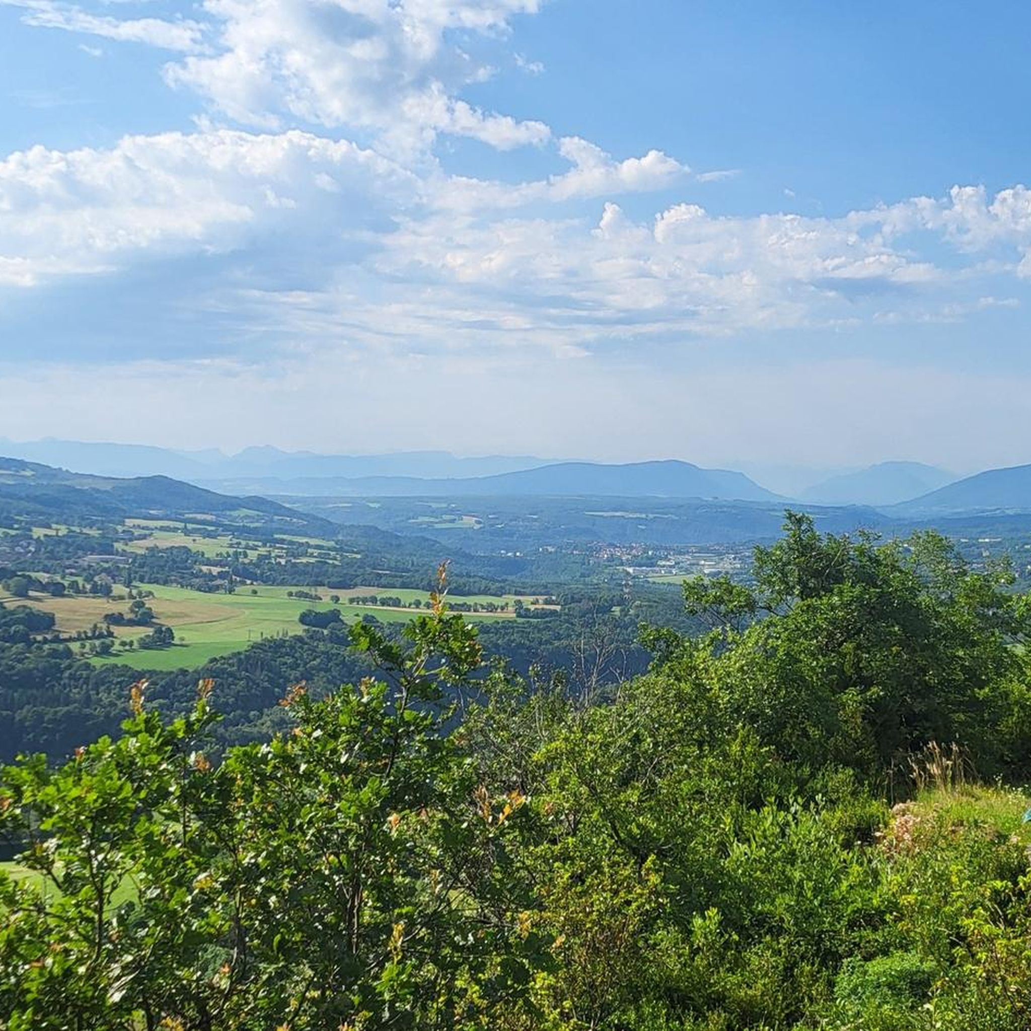
Road Cycling Routes around Châtillon-En-Michaille
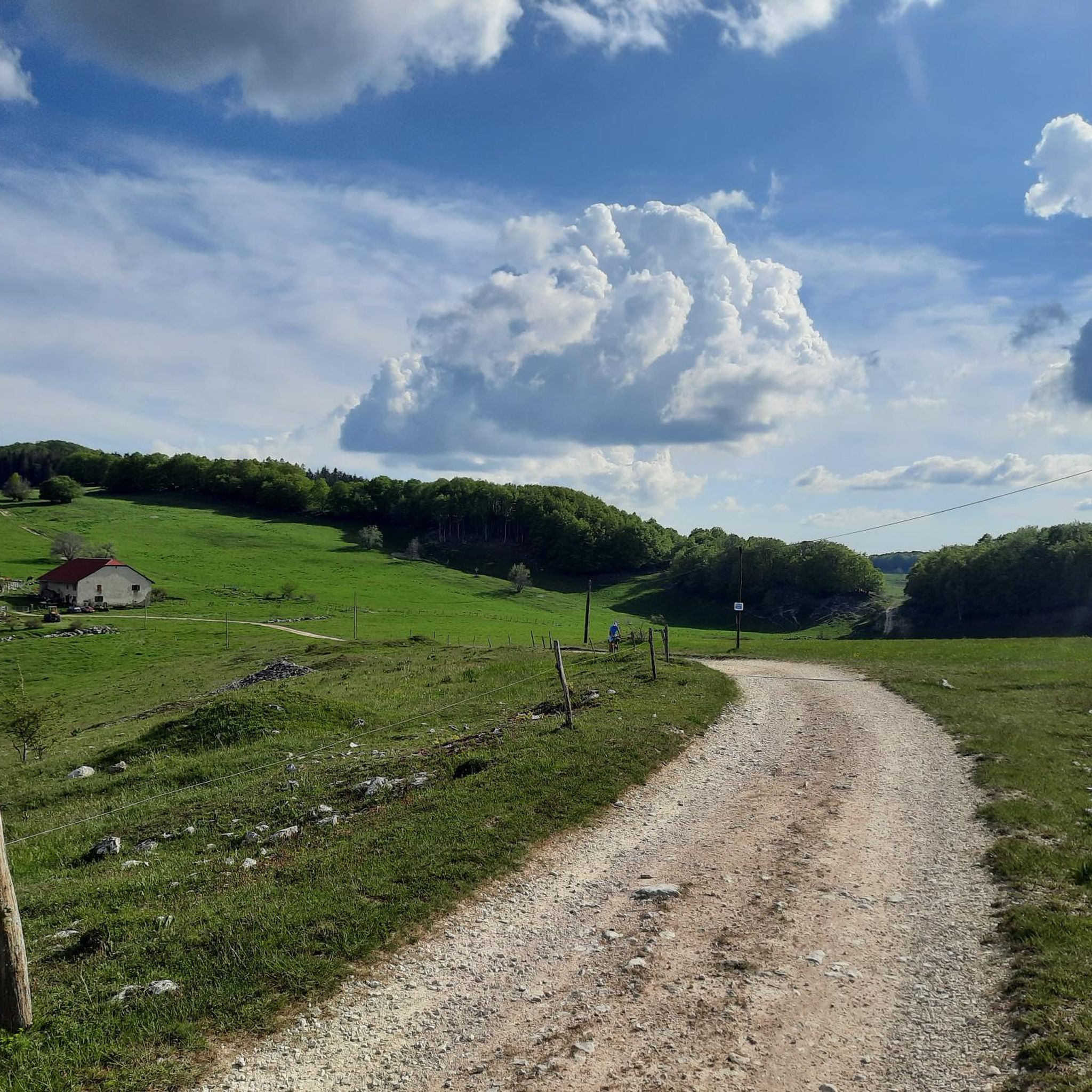
Road Cycling Routes around Billiat
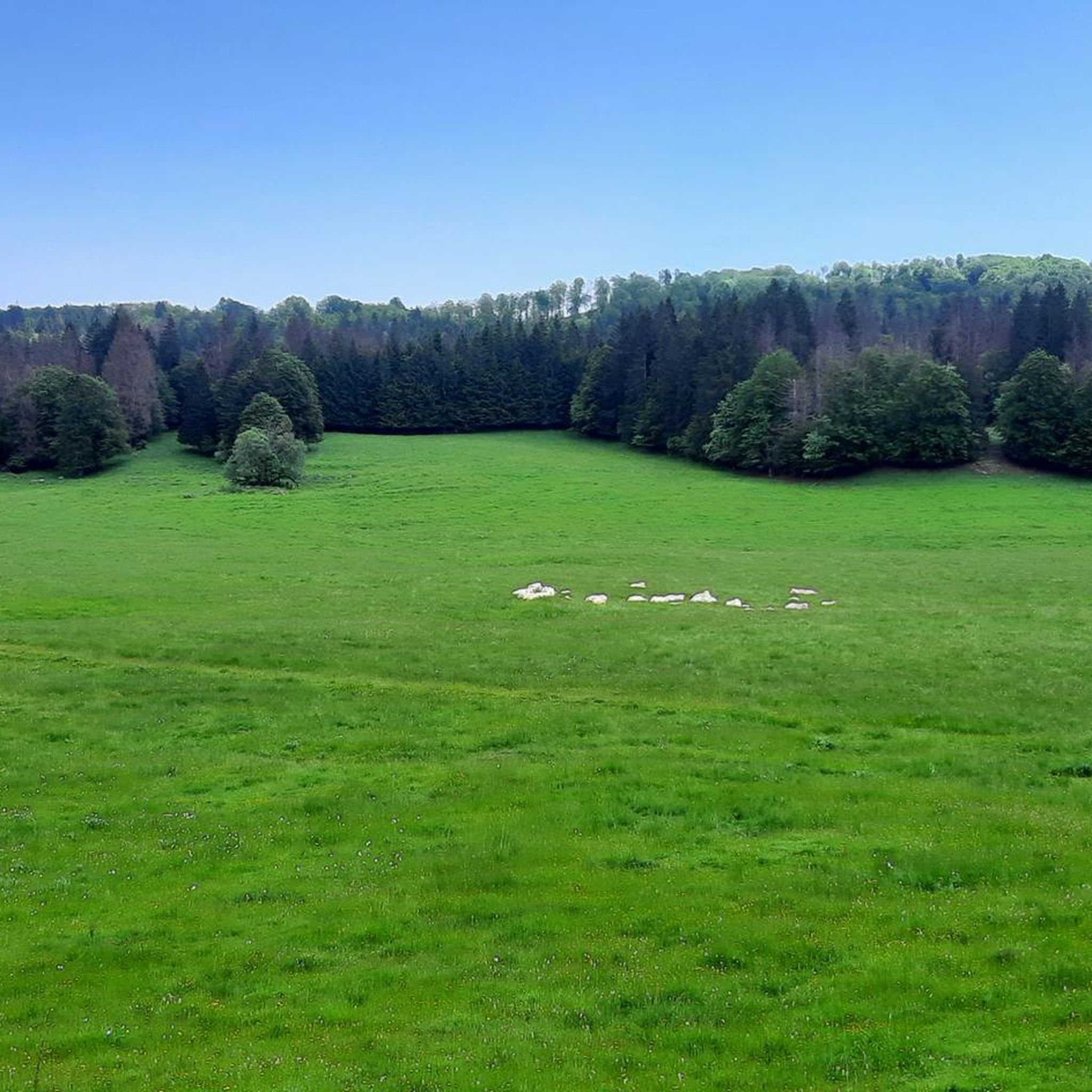
Road Cycling Routes around Villes
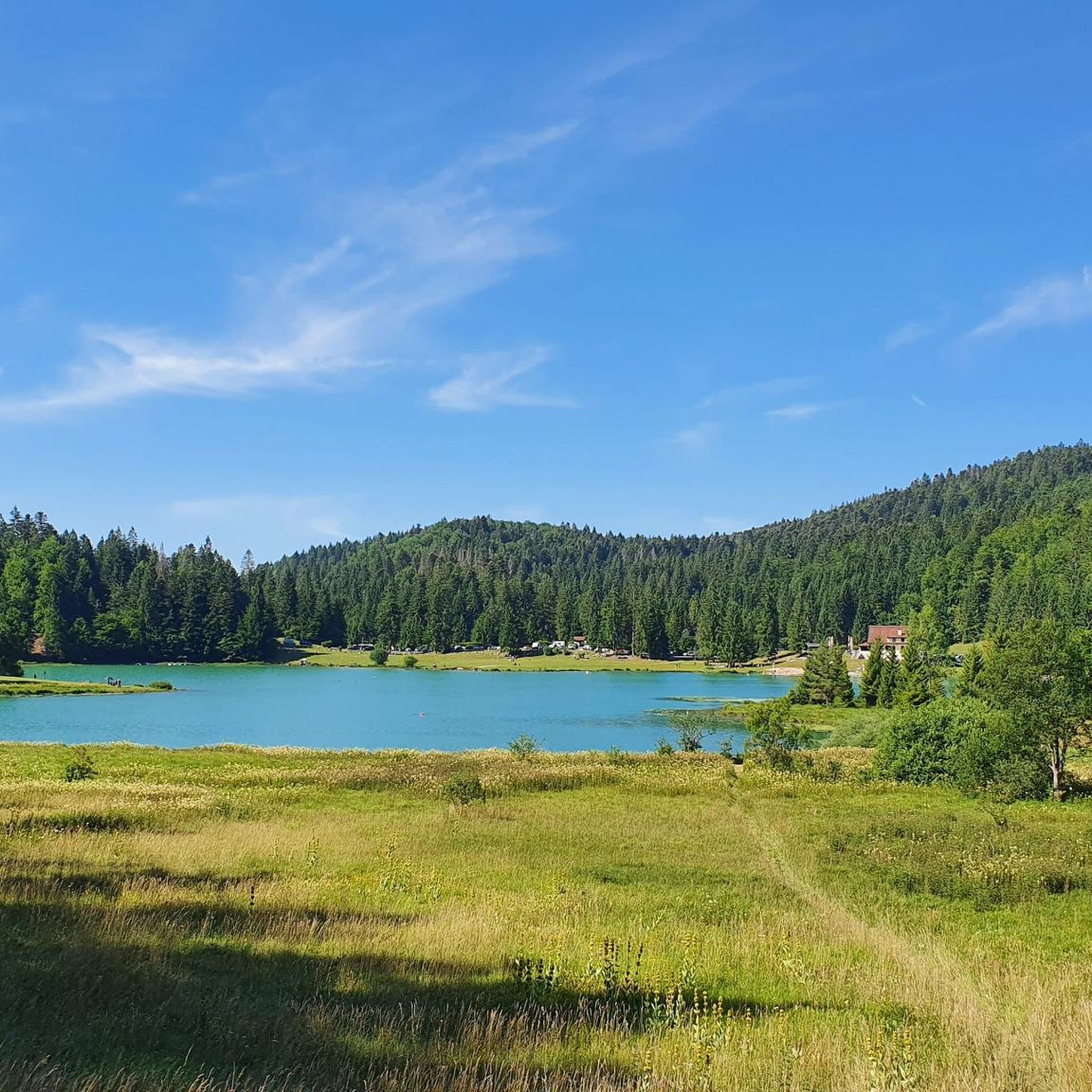
Road Cycling Routes around Arbent
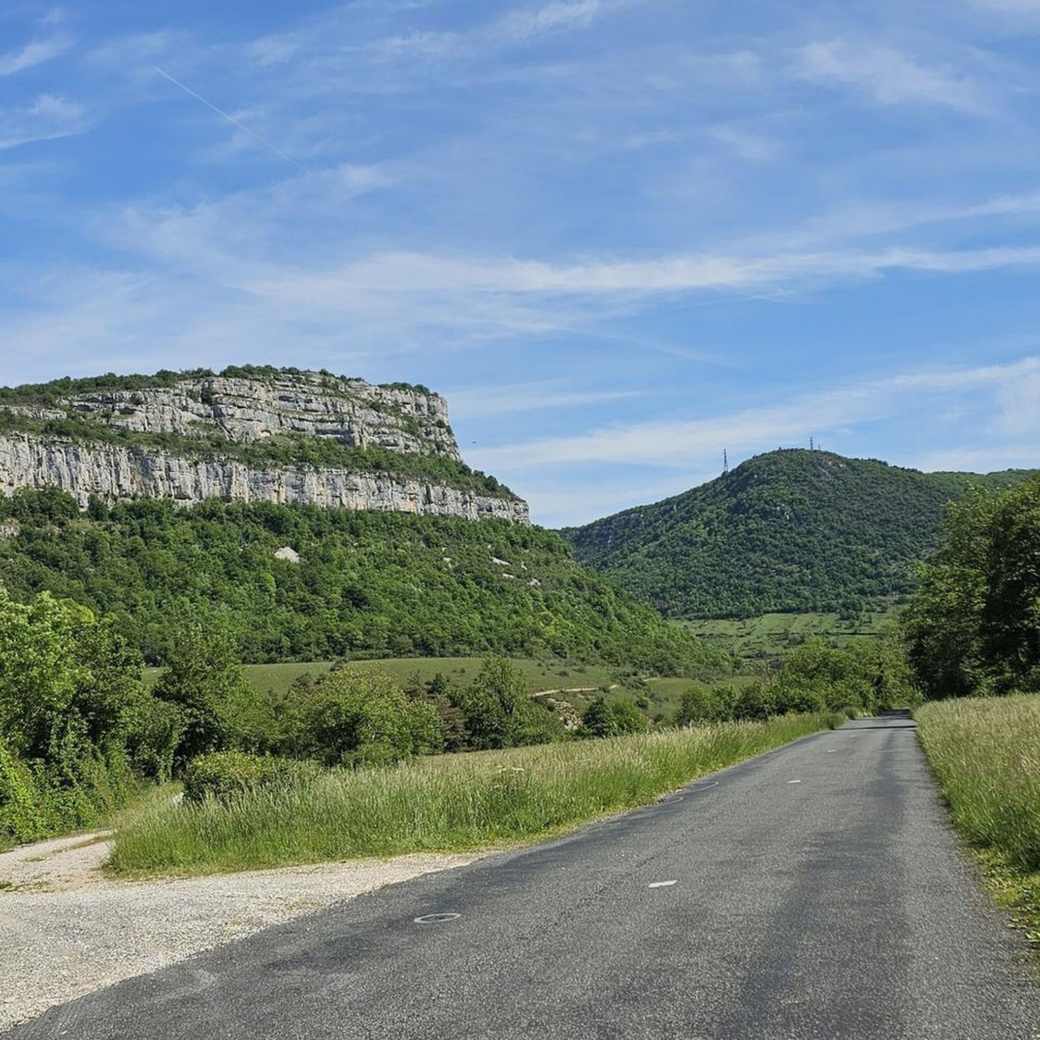
Road Cycling Routes around Géovreisset
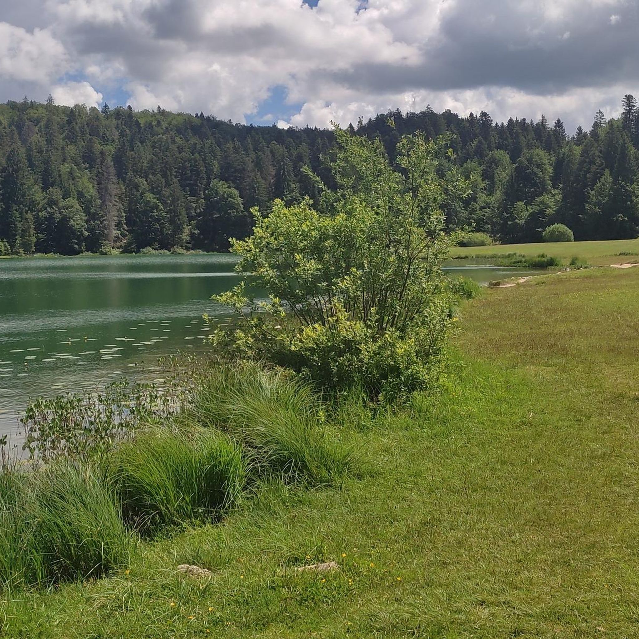
Road Cycling Routes in Forêt Noire
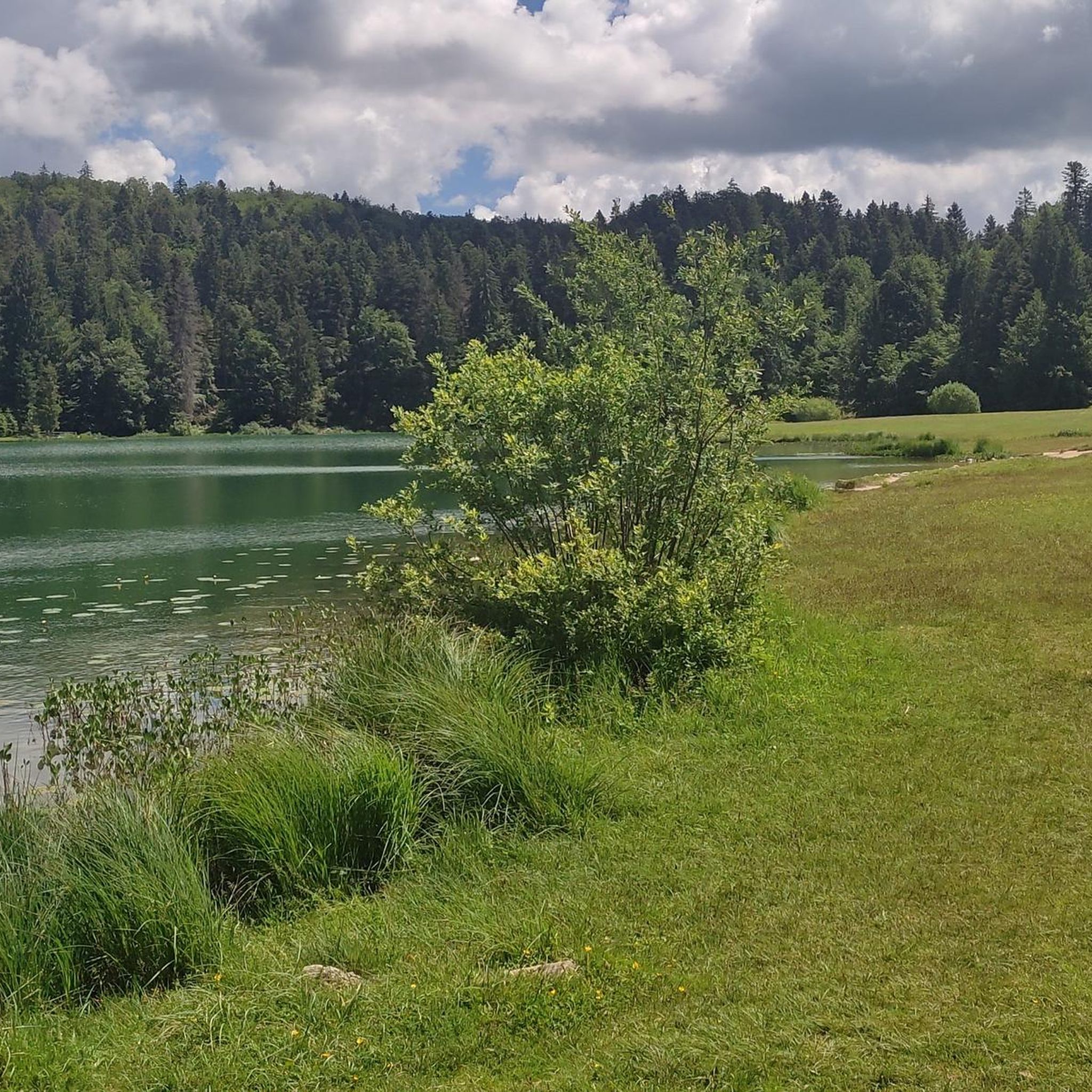
Road Cycling Routes around Oyonnax
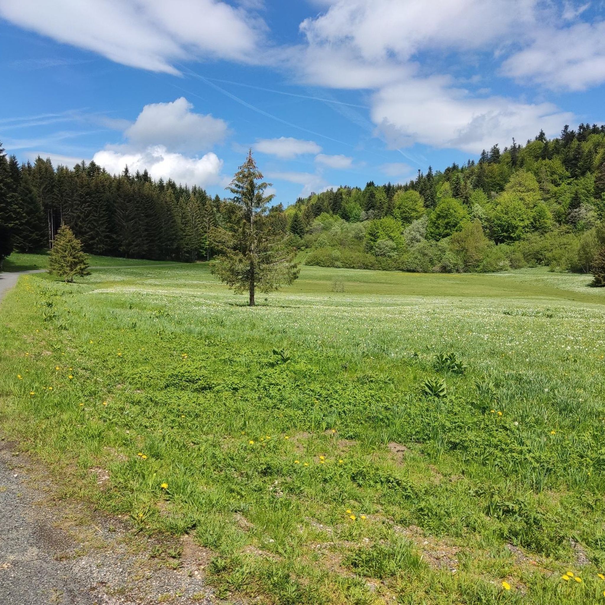
Road Cycling Routes around Champdor-Corcelles
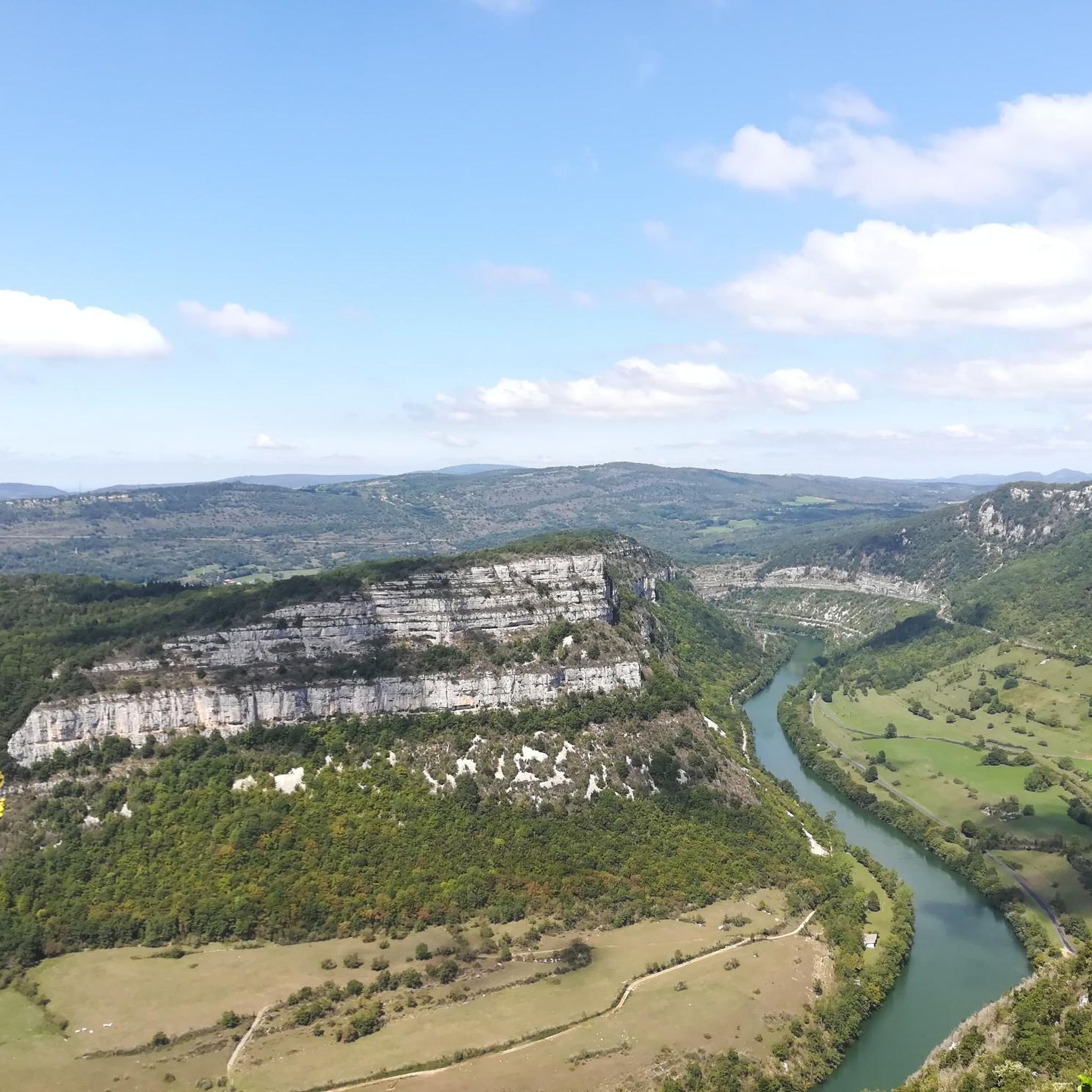
Road Cycling Routes around Nurieux-Volognat
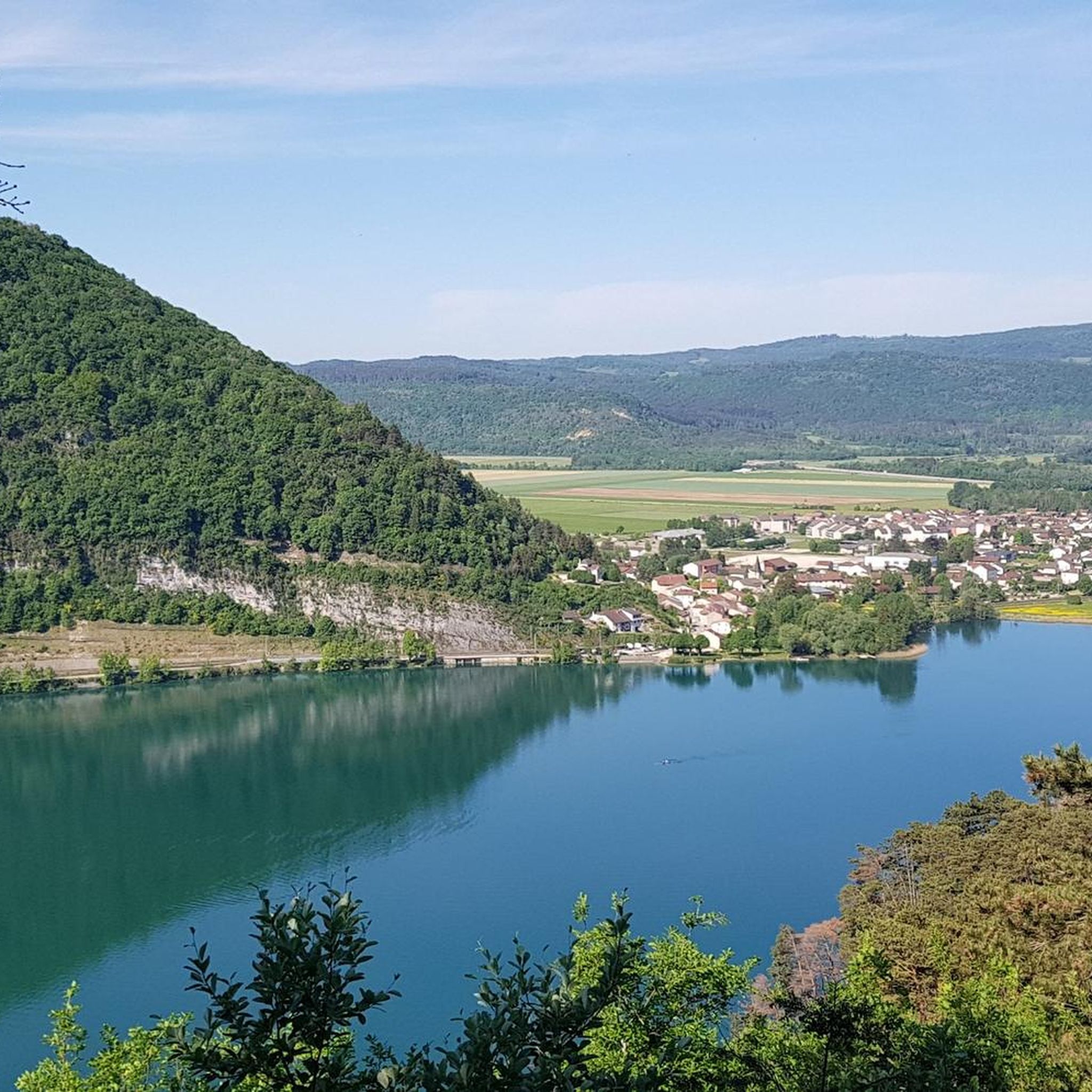
Road Cycling Routes around Izernore
Other adventures around Nantua


Tips from the Community

pretty small stone viaduct with 2 superimposed lanes, one for cars with 6 arches and one for the train with 11 arches. Atypical.
0
0
The bridge separates two departments, the Jura and the Ain. "Iron bridge. For several centuries, the Ain was crossed at Thoirette using a ferry, called Christouphe's ferry, named after the commune where the passenger resided. From 1808 to 1811, the riparian communes contributed to building a bridge in place of this ferry. The project had been drawn up by Mr. Cordier, from Orgelet, an engineer then in charge of directing the works for the Simplon road. Various obstacles opposed the execution of this work. It was not until 1829 that an iron bridge was built, which collapsed in 1843. The Ain department has just replaced it with an iron bridge currently open to traffic". Statistique de la France - 1855 - Ministère de l'Agriculture by Imprimerie Impériale in Paris - p53.
0
0
After 7 years of difficult work, the two-arched bridge in Neuville-sur-Ain was put into service in 1777. The construction of the bridge had brought masons and stonemasons from different regions, some of whom came from Beauce seem to have settled and given their name to the hamlet of Bosseron (for Beaucerons). It is a structure listed in the inventory of protected monuments since August 1946. https://www.neuvillesurain.fr/patrimoine-et-tourisme/quartiers-hameaux/neuville-le-bas/
0
0

A must-see in Ain! It’s a chance to experience some elevation gain!
0
0

A must-see on the banks of the Ain
0
0

Nice view not far from Bouvent Park
0
0

Bridge over the Valserine River. Route along the Rhône towards Geneva.
0
0
Frequently Asked Questions
What kind of terrain can I expect on road cycling routes around Nantua?
Road cycling routes around Nantua offer a diverse range of terrain, from the challenging ascents of the Jura Mountains to scenic rides along glacial lakes and through river gorges. You'll encounter significant elevation gains, especially on routes like The Haute Chaîne du Jura national nature reserve - loop, as well as more balanced rides through varied landscapes.
Are there challenging road cycling routes for experienced cyclists in Nantua?
Yes, Nantua is well-known for its challenging road cycling routes. Many expeditions feature elevation gains up to 3,000 feet and durations exceeding five hours. Routes such as Lac de Coiselet — loop from Oyonnax and Lajoux hairpin bends – Valserine Gorges loop from Bellegarde are classified as difficult, offering substantial climbs and rewarding views.
Can I find easier or moderate road cycling routes in the Nantua area?
Absolutely. While the region is known for its challenging climbs, there are also plenty of moderate options. For example, the Col de Cuvery Loop from Bellegarde provides a balanced ride through varied terrain. The area also features routes with less extreme elevation, such as the View of Lac de Coiselet – Lac de Coiselet loop from Arbent, which is rated moderate.
What natural features and landmarks can I see while road cycling around Nantua?
The region is rich in natural beauty. You can cycle past the stunning Lake Nantua, known for its changing hues and surrounded by limestone cliffs. Other notable features include the dramatic Valserine Gorges, the expansive views from the Plateau de Retord, and various mountain passes like Cuvéry Pass and Col de Bérentin.
Are there any road cycling routes that offer scenic viewpoints?
Many routes in Nantua provide breathtaking scenic viewpoints. The surrounding Jura Mountains offer panoramic vistas, and specific highlights like View over Lake Nantua are popular spots. Routes that traverse higher elevations, such as those leading to the Crêt de Chalam, will reward you with expansive views of the Valserine valley and even the Mont-Blanc massif on clear days.
What is the best time of year for road cycling in Nantua?
The spring and autumn months generally offer the most pleasant conditions for road cycling in Nantua, with milder temperatures and beautiful scenery. Summer can also be excellent, though some climbs might be more strenuous in the heat. Always check local weather forecasts before heading out, especially when planning routes with significant elevation.
Are there quiet roads suitable for road cycling in Nantua?
Yes, many road cycling routes in the Nantua area benefit from quiet roads with minimal traffic, allowing for a more peaceful and immersive experience. The region's diverse network includes dedicated cycling routes, such as parts of the 'Ain à Vélo' network, which are designed for cyclists.
How long are the road cycling routes typically around Nantua?
The length of road cycling routes around Nantua varies significantly. You can find shorter loops, such as the Tour du Vuache Loop at 28.7 miles (46.2 km), which takes about 2 hours 24 minutes. Longer, more challenging routes like Ain Valley and Lakes Loop from Oyonnax can extend to nearly 50 miles (79.5 km) and take over 4 hours.
Are there any circular road cycling routes in Nantua?
Yes, many of the road cycling routes around Nantua are designed as loops, allowing you to start and finish in the same location. Examples include Valserine Gorges – Menthières Pass loop from Giron and Cize-Bolozon Viaduct – Cize Viaduct loop from Matafelon-Granges, providing convenient options for exploration.
What do other road cyclists say about the routes in Nantua?
The road cycling routes in Nantua are highly regarded by the komoot community, with an average rating of 4.5 stars from over 250 reviews. Cyclists often praise the region's diverse landscapes, the challenge of its mountain passes, and the stunning natural beauty, particularly around Lac de Nantua and the Jura Mountains.
Are there options for parking when road cycling in Nantua?
While specific parking details vary by route, many starting points for road cycling routes in and around Nantua offer convenient parking options. It's advisable to check the route details on komoot for information on designated parking areas near the trailhead or starting point of your chosen tour.
Can I combine road cycling with other activities around Nantua?
Absolutely. Nantua is a hub for outdoor activities. Beyond road cycling, you can enjoy extensive hiking and walking trails, mountain biking, and water sports on Lac de Nantua, including swimming, paddleboarding, and kayaking. The region's natural beauty makes it ideal for a multi-activity trip.
Most popular routes around Nantua
Most popular attractions around Nantua

Get inspired with the komoot mobile app


Didn’t find what you were looking for?
Check out more Road cycling routes throughout Nantua below and find the perfect route in your destination.
Explore more
Browse the best Road cycling routes in other regions.
