The best road cycling routes around Saint-Saulve
4.3
(217)
5,302
riders
495
rides
Road cycling routes around Saint-Saulve traverse a diverse landscape shaped by the Escaut river and its surrounding natural features. The region is characterized by the Scarpe-Escaut Regional Nature Park, offering varied terrain for cyclists. Mining landscapes, including terril (slag heaps) and corons (mining villages), provide unique visual interest and contribute to the area's distinct topography. Cyclists can expect routes that combine riverside paths with sections featuring gentle ascents and descents, often passing through local forests.
Best road cycling routes around…
Last updated: June 26, 2026
4.0
(2)
20
riders
43.9km
02:05
170m
170m
Hard road ride. Good fitness required. You may need to push your bike for some segments of this route.
4.3
(6)
76
riders
59.7km
02:44
480m
480m
Moderate road ride. Good fitness required. Mostly well-paved surfaces and easy to ride.

Sign up for free
51
riders
60.0km
02:35
430m
430m
Moderate road ride. Good fitness required. Mostly well-paved surfaces and easy to ride.
4.3
(3)
92
riders
59.1km
02:35
360m
360m
Moderate road ride. Good fitness required. Some segments of this route may be unpaved and difficult to ride.
5.0
(3)
29
riders
65.4km
02:44
360m
360m
Moderate road ride. Good fitness required. Mostly well-paved surfaces and easy to ride.
Get access to more routes and recommendations from other explorers.
Sign up for free
Already have an account?
Our route recommendations are based on thousands of hikes, rides, and runs completed by other people on komoot.
Start today with a free account
Your next adventure awaits.
Login or Signup
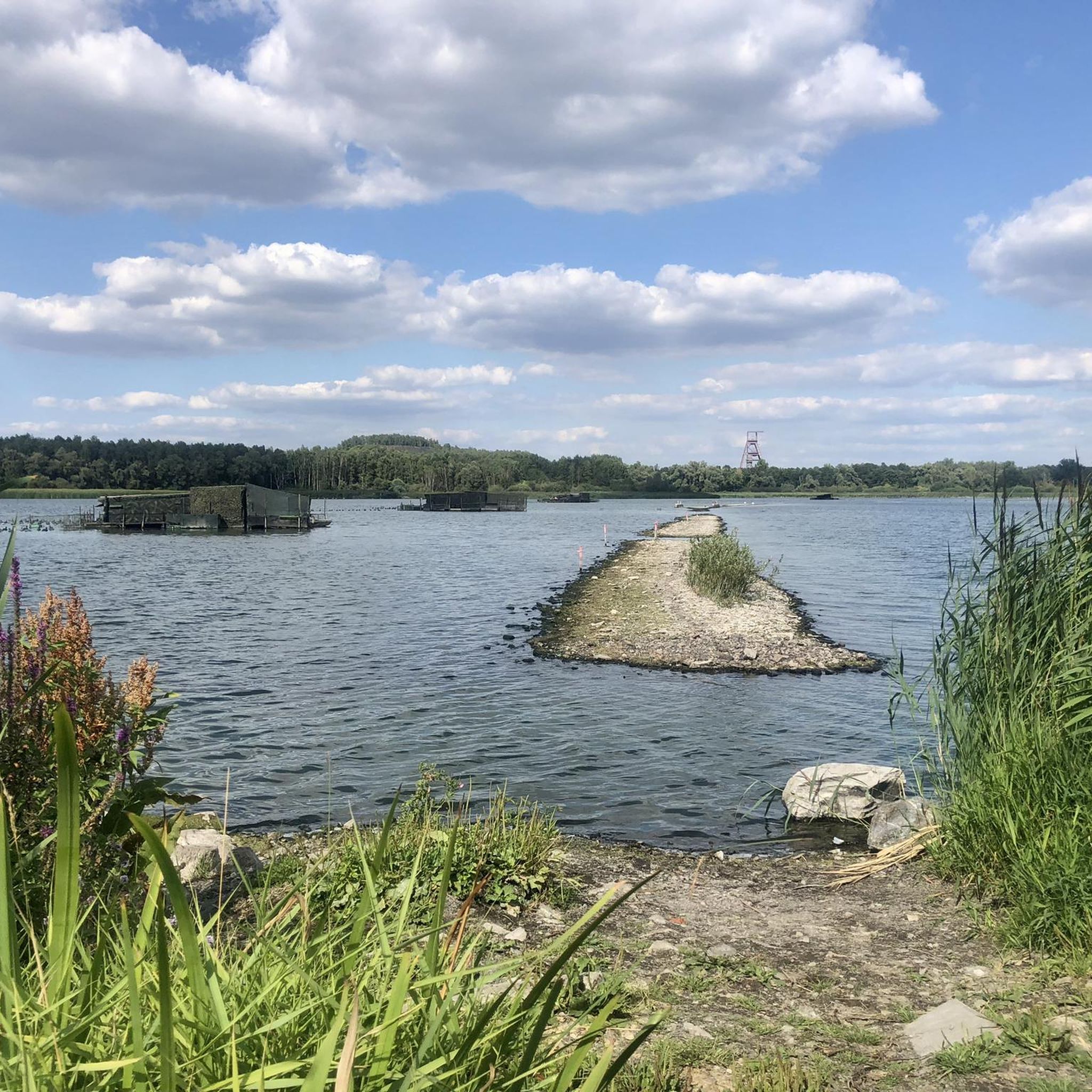
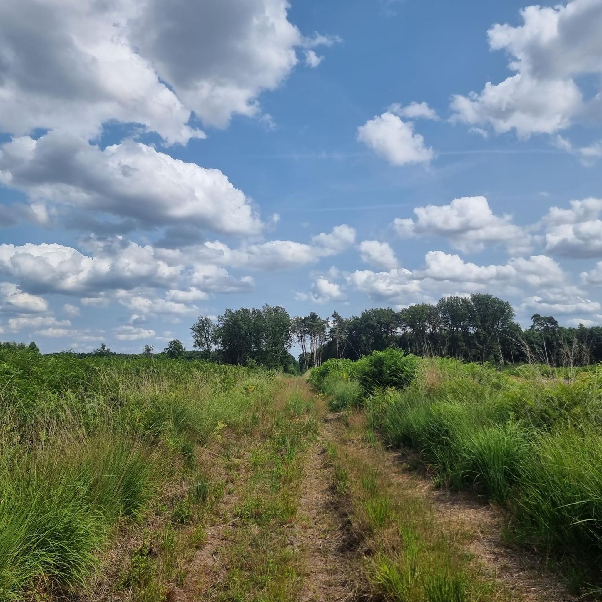

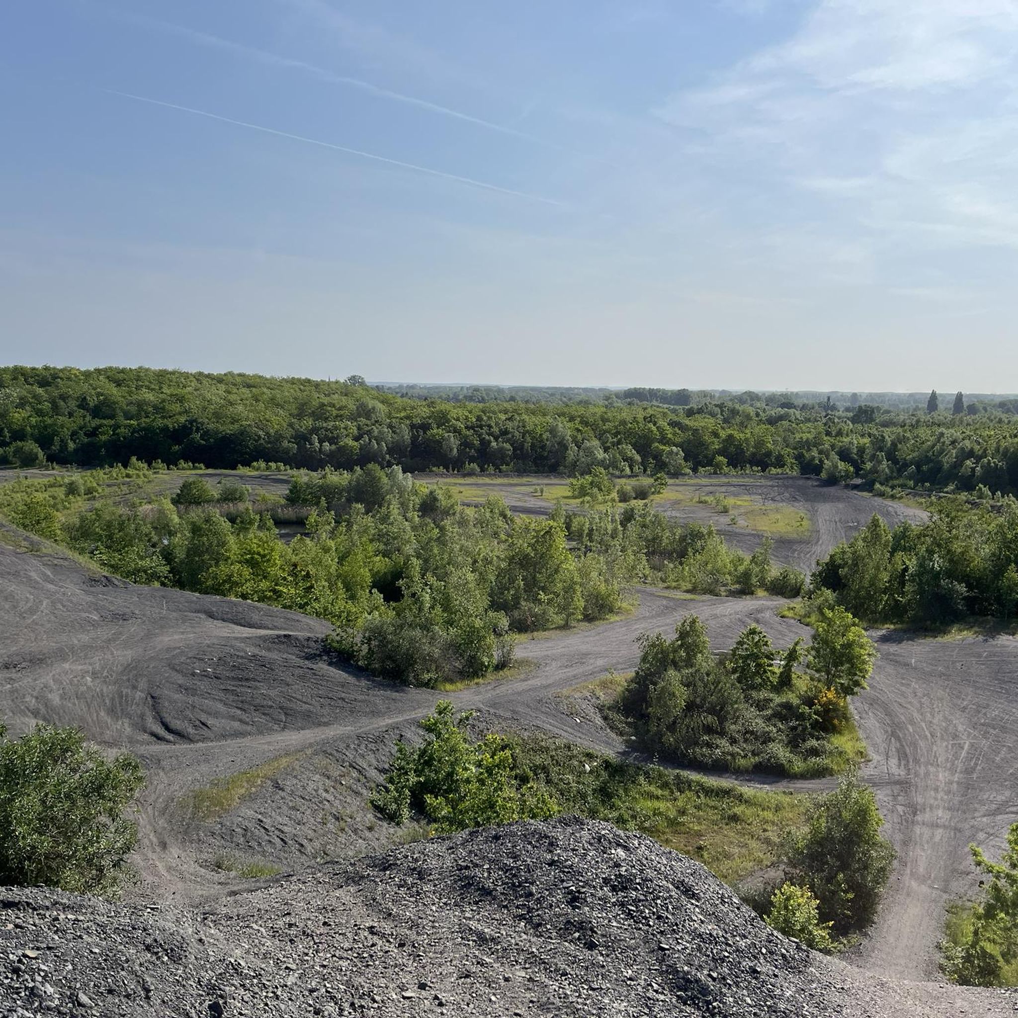

Tips from the Community

Warning: this hurts your buttocks but it's awesome!
0
0


This will enchant you to cycle the Paris Roubaix tour 170 km Troisville - Roubaix
1
0
Everything is crooked and there is a strong wind blowing on my route of 170 km, 30 lanes
0
0


a paved area, a first for me. it's banging but it's beautiful
0
1

This famous Jenlain brewery
0
0
Frequently Asked Questions
How many road cycling routes are available around Saint-Saulve, and what are their difficulty levels?
There are over 490 road cycling routes around Saint-Saulve. These routes cater to various skill levels, with approximately 120 easy routes, over 350 moderate routes, and 17 challenging routes for experienced cyclists.
What kind of challenging road cycling routes can experienced cyclists find near Saint-Saulve?
Experienced road cyclists can find challenging routes, including those that incorporate sections of the renowned Paris-Roubaix race. For instance, the Paris-Roubaix Cobbles Loop from Valenciennes offers a difficult 43.9 km ride with challenging cobbled terrain. The region's proximity to the 'mythique trouée d'Arenberg' also indicates demanding terrain.
Are there options for long-distance road cycling around Saint-Saulve?
Yes, for those seeking longer rides, routes like the View of the Rhonelle at Artres – Brasserie l'enfer loop from Valenciennes offer a substantial distance of over 120 km, providing an extended cycling experience through the region.
What scenic attractions or landmarks can I discover along the road cycling routes in Saint-Saulve?
The region offers diverse scenery. You can cycle along the scenic banks of the Escaut river, explore the unique mining landscapes with their 'terril' (slag heaps) and 'corons' (mining villages), or pass through local forests. Notable natural landmarks include Le Caillou-qui-Bique, an impressive stone formation, and the Bois d'Angre forest. Many routes also feature picturesque lakes such as Goriaux Pond and Vineyard Pond.
Can I find circular road cycling routes in the Saint-Saulve area?
Yes, many of the road cycling routes around Saint-Saulve are designed as loops, allowing you to start and finish at the same point. Examples include the Côte de la Cascade – Path with small bridge loop from Valenciennes and the Côte de la Cascade – Côte du Caillou qui Bique loop from Valenciennes, which offer varied terrain and scenic views.
What is the best time of year for road cycling in Saint-Saulve?
The region around Saint-Saulve is generally pleasant for road cycling from spring through autumn. During these seasons, the weather is typically mild, making it ideal for exploring the diverse landscapes of the Scarpe-Escaut Regional Nature Park and the riverside paths.
Are there any routes that feature waterfalls or significant water features?
Yes, some routes incorporate water features. For example, the Côte de la Cascade – Quelipont Waterfall loop from Valenciennes is a moderate route that includes scenic sections near the Côte de la Cascade and the Quelipont Waterfall.
What do other road cyclists enjoy the most about road cycling in Saint-Saulve?
The road cycling routes in Saint-Saulve are highly rated by the komoot community, with an average score of 4.3 stars from over 200 reviews. Cyclists often praise the diverse terrain, which combines riverside paths, local forests, and unique mining landscapes, as well as the well-maintained network of routes.
Are there any cafes or places to stop for refreshments along the road cycling routes?
While specific cafes on every route are not detailed, the region is cycling-friendly, and local villages often offer amenities. A notable stop could be Le Chalet Du Garde, which is listed as a cafe highlight in the broader area.
What kind of natural landscapes can I expect to see while road cycling in Saint-Saulve?
You can expect a rich variety of natural landscapes. The routes often traverse the Scarpe-Escaut Regional Nature Park, offering tranquil environments. You'll also encounter the picturesque Escaut river, local forests like the Bois d'Angre, and several serene lakes such as Étang Chabaud-Latour.
Are there any routes that highlight the region's mining heritage?
Yes, the region's rich mining history has shaped its landscape, and many routes offer glimpses of this heritage. You'll find features such as 'terril' (slag heaps) and 'corons' (mining villages) that provide a unique backdrop to your ride, offering a distinctive visual interest not commonly found elsewhere.
How accessible are the road cycling routes in Saint-Saulve by public transport?
While specific public transport access points for each route are not detailed, Saint-Saulve is located in the Nord department of France, which generally has a developed public transport network. Cyclists often use regional trains or buses to reach starting points in and around Valenciennes, a common departure point for many routes.
Are there less crowded road cycling routes available for a more peaceful experience?
With over 490 routes available, it is possible to find less crowded options, especially away from the most popular trails. Exploring routes that venture deeper into the Scarpe-Escaut Regional Nature Park or along less-trafficked local roads can offer a more peaceful cycling experience.
Most popular routes around Saint-Saulve
Most popular attractions around Saint-Saulve

Get inspired with the komoot mobile app


Explore more
Browse the best Road cycling routes in other regions.
