The best MTB trails around Saint-Saulve
4.4
(435)
1,408
riders
153
rides
Mountain biking around Saint-Saulve offers access to diverse natural landscapes, despite the town's low altitude. The region is characterized by its proximity to significant natural areas like the Scarpe-Escaut Regional Nature Park, which provides a network of trails suitable for cycling. Nearby forests such as Bois d'Angre and the Arenberg Forest contribute varied terrain, including unpaved paths and areas around ponds. This strategic location allows mountain bikers to explore a mix of forest trails and regional park routes.
Best mountain…
Last updated: June 26, 2026
4.4
(13)
17
riders
35.3km
01:56
180m
180m
Easy mountain bike ride. Great for any fitness level. Suitable for all skill levels.
4.8
(5)
16
riders
Moderate mountain bike ride. Great for any fitness level. Advanced riding skills necessary.

Sign up for free
4.6
(9)
21
riders
44.2km
02:31
100m
100m
Moderate mountain bike ride. Good fitness required. Suitable for all skill levels.
3.0
(4)
6
riders
52.7km
03:30
430m
430m
Moderate mountain bike ride. Good fitness required. Advanced riding skills necessary.
5.0
(3)
10
riders
43.8km
02:33
140m
140m
Moderate mountain bike ride. Good fitness required. Suitable for all skill levels.
Get access to more routes and recommendations from other explorers.
Sign up for free
Already have an account?
Our route recommendations are based on thousands of hikes, rides, and runs completed by other people on komoot.
Start today with a free account
Your next adventure awaits.
Login or Signup


Tips from the Community


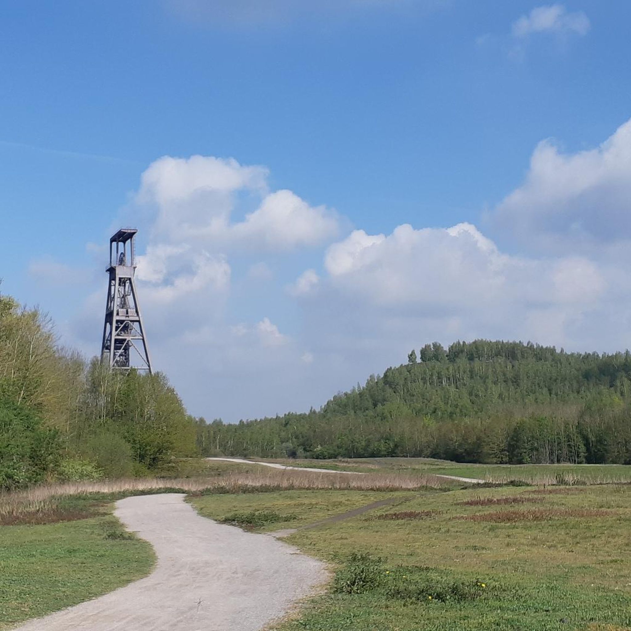
The train station is undergoing a complete renovation to restore its former glory. All the information: https://www.fresnes-sur-escaut.fr/travaux/requalification-de-la-gare-des-houilleres
0
0

Lack of maintenance during my visit in September 2025, the vegetation is very present and only leaves part of the base accessible.
0
0


plat
0
0

Mountain biking in this forest is fantastic! You could spend hours here before you've seen everything!
1
0
Frequently Asked Questions
How many mountain bike trails are available around Saint-Saulve?
There are over 150 mountain bike trails around Saint-Saulve, offering a wide range of options for different skill levels. You'll find 54 easy routes, 96 moderate routes, and 9 more challenging trails.
What kind of terrain can I expect on mountain bike trails near Saint-Saulve?
The terrain around Saint-Saulve is diverse, featuring forest paths, trails within the Scarpe-Escaut Regional Nature Park, and routes that wind around various ponds. Despite the town's relatively low altitude, its strategic location provides access to varied landscapes suitable for mountain biking.
Are there any family-friendly mountain bike routes in the Saint-Saulve area?
Yes, there are many family-friendly options. With 54 easy routes available, you can find trails suitable for all ages. An example of an easy route is the Étang Chabaud-Latour – Canal de Condé loop from Escautpont, which is 17.7 miles long and relatively flat.
Where can I find scenic mountain bike trails around Saint-Saulve?
For scenic rides, consider routes that pass through the Scarpe-Escaut Regional Nature Park or around the local ponds. The Étang Chabaud-Latour – Canal de Condé loop from Saint-Saulve offers pleasant views as it circles the Étang Chabaud-Latour.
What are some interesting natural attractions to see while mountain biking near Saint-Saulve?
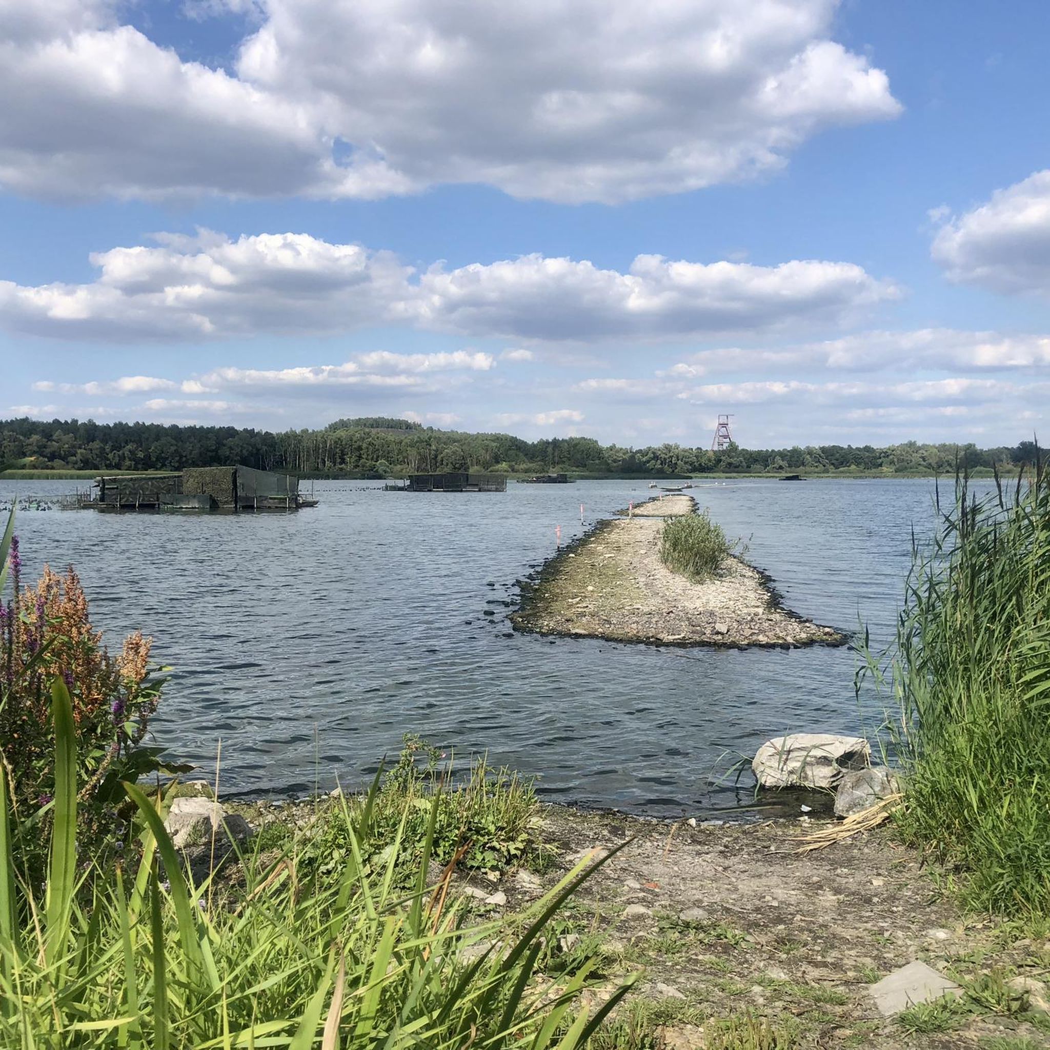
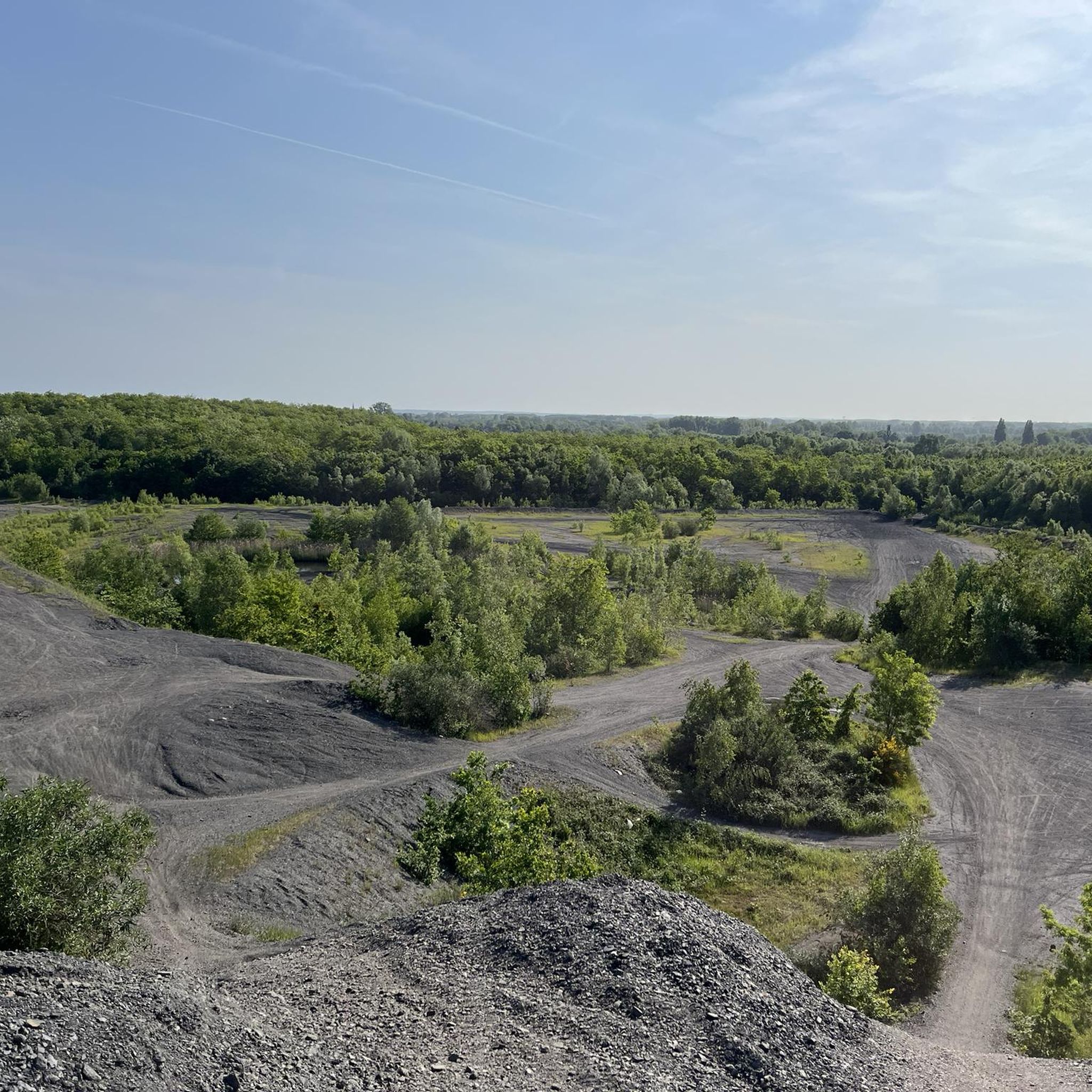
You can explore several natural attractions. The Étang Chabaud-Latour is a prominent lake, and the Goriaux Pond, with its accessible slag heap offering elevated views, are popular spots. You might also encounter the ancient Le Caillou-qui-Bique rock formation in the nearby Bois d'Angre forest.
Are there any circular mountain bike routes available?
Many of the mountain bike trails around Saint-Saulve are designed as loops. For instance, the Path with small bridge – Le Ponton de Pech loop from Valenciennes is a moderate 34.7-mile circular route that explores varied terrain.
What do other mountain bikers say about the trails in Saint-Saulve?
The mountain bike trails in Saint-Saulve are highly regarded by the komoot community, with an average rating of 4.5 stars from over 450 reviews. Many riders appreciate the diverse landscapes, from forest paths to regional park trails, and the variety of difficulty levels available.
Are there any challenging mountain bike trails for experienced riders?
Yes, for experienced riders seeking a challenge, there are 9 difficult mountain bike trails in the area. While not explicitly listed as 'difficult' in the top routes, trails like the Technical descent – Terrils loop from Valenciennes offer more technical sections and varied elevation.
What is the best season for mountain biking in Saint-Saulve?
The region's diverse natural landscapes, including forests and regional parks, make it suitable for mountain biking across multiple seasons. Spring and autumn generally offer pleasant temperatures and vibrant scenery, while summer can be enjoyable, especially on shaded forest trails. Always check local conditions before heading out.
Can I find routes that offer a good workout in terms of distance and elevation?
Absolutely. Many routes provide a good physical challenge. For example, the Path with small bridge – The corridors loop from Valenciennes is a moderate 27.5-mile trail with notable elevation changes, typically taking over 3 hours to complete.
Are there any trails that pass by lakes or ponds?
Yes, several routes incorporate the area's natural water features. The Étang Chabaud-Latour – Canal de Condé loop from Saint-Saulve is a great example, offering views of the Étang Chabaud-Latour and the Canal de Condé.
Most popular routes around Saint-Saulve
Most popular attractions around Saint-Saulve

Get inspired with the komoot mobile app


Explore more
Browse the best MTB trails in other regions.
