The best walks and hikes around Saint-Saulve
4.4
(1423)
6,820
hikers
330
hikes
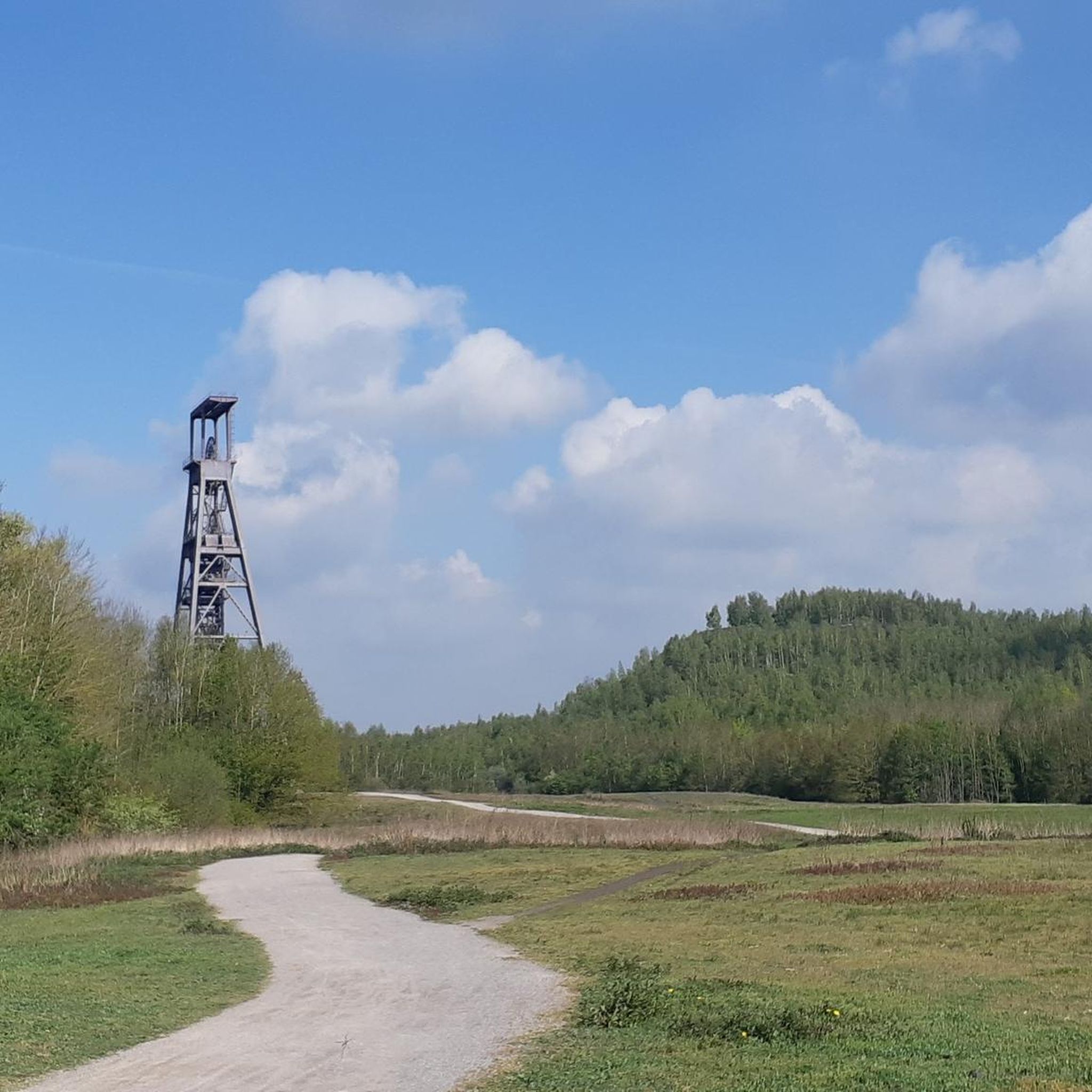
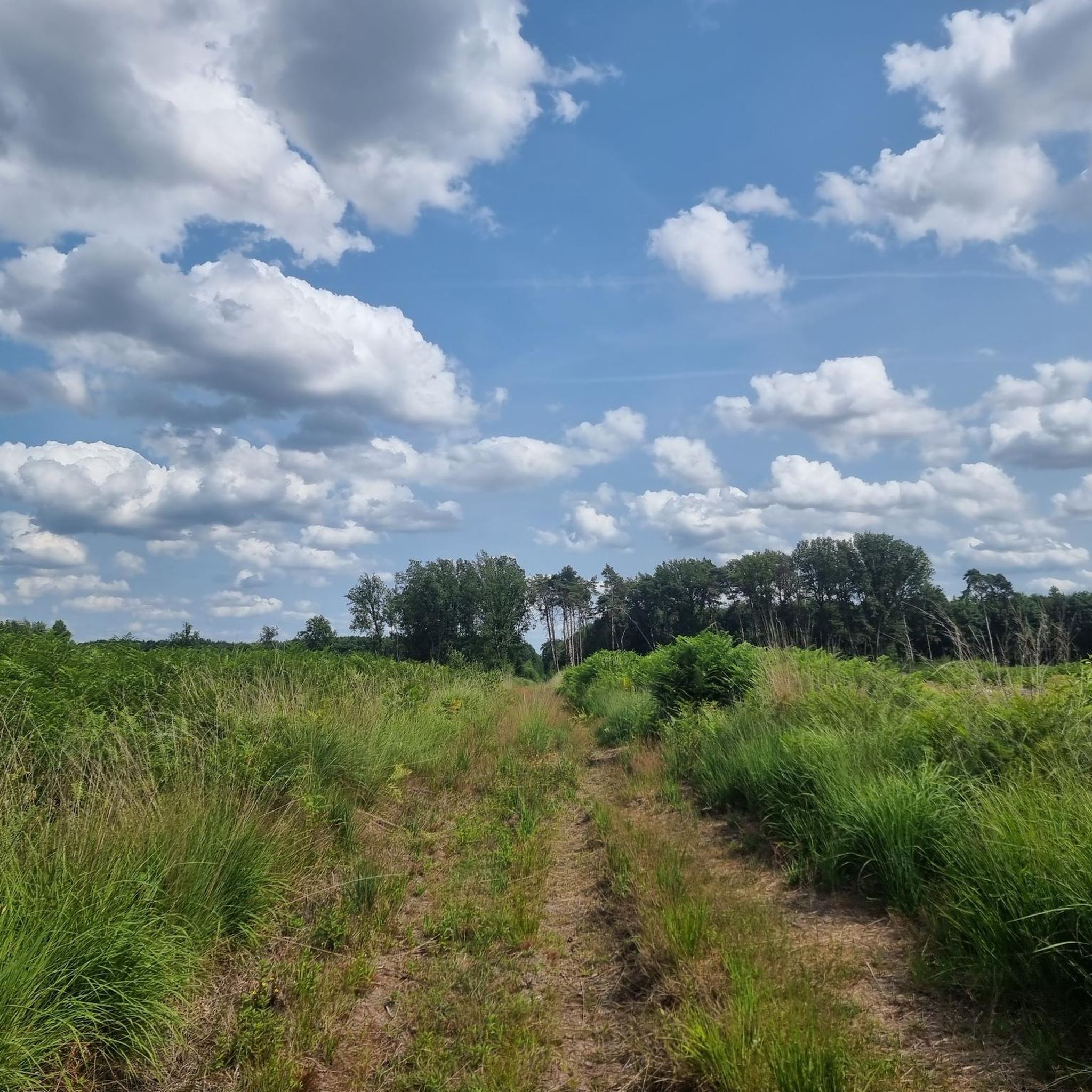
Hiking around Saint-Saulve offers access to diverse landscapes within the Nord department of France. The region is characterized by its proximity to the Scarpe-Escaut Regional Nature Park, featuring meadows, farmlands, peat bogs, and forests. Former mining areas contribute unique terrain, including slag heaps that provide elevated viewpoints. These varied environments create a range of hiking opportunities.
Best hiking trails around Saint-Saulve
- The most popular hiking route is Vineyard Pond – Boardwalks loop from Valenciennes, a 5.8 miles (9.4 km)…
Last updated: May 13, 2026
3.9
(15)
120
hikers
9.36km
02:24
40m
40m
Moderate hike. Good fitness required. Easily-accessible paths. Suitable for all skill levels.
4.7
(3)
17
hikers
6.02km
01:33
20m
20m
Easy hike. Great for any fitness level. Easily-accessible paths. Suitable for all skill levels.

Sign up for free
4.7
(3)
25
hikers
6.79km
01:44
30m
30m
Easy hike. Great for any fitness level. Easily-accessible paths. Suitable for all skill levels.
5.0
(1)
17
hikers
8.53km
02:12
50m
50m
Moderate hike. Good fitness required. Easily-accessible paths. Suitable for all skill levels.
5.0
(1)
10
hikers
11.1km
02:53
60m
60m
Moderate hike. Good fitness required. Easily-accessible paths. Suitable for all skill levels.
Get access to more routes and recommendations from other explorers.
Sign up for free
Already have an account?
Our route recommendations are based on thousands of hikes, rides, and runs completed by other people on komoot.
Start today with a free account
Your next adventure awaits.
Login or Signup


Tips from the Community


very beautiful place to see and admire
0
0
Lots of art scattered throughout the city of Valenciennes
0
0
Many statues in the Jacques Chirac garden
0
0
Garden with many works of art scattered throughout the garden
0
0
many statues are scattered throughout the city
0
0
Large square in the center of the bustling city. It's the heart of the city (remains, shopping arcade, rides, and boutiques).
0
0
Take a walk in Valenciennes and you will find beautiful old houses
0
0
Frequently Asked Questions
How many hiking trails are available around Saint-Saulve?
There are over 300 hiking routes available around Saint-Saulve, catering to various preferences and skill levels. These include easy strolls through urban green spaces and more challenging excursions into natural parks and former mining landscapes.
What kind of landscapes can I expect to see while hiking near Saint-Saulve?
Hiking near Saint-Saulve offers a diverse range of landscapes. You'll find vast expanses of meadows, farmlands, and forests, particularly within the Scarpe-Escaut Regional Nature Park. The region also features unique terrain shaped by its mining history, including slag heaps (terril) that provide panoramic views, and greenways along the Scheldt river.
What do other hikers say about the trails in Saint-Saulve?
The hiking routes in Saint-Saulve are highly rated by the komoot community, with an average score of 4.4 stars from over 1,200 reviews. Hikers often praise the varied terrain, from natural parkland to historical mining sites, and the accessibility of many routes.
Are there options for different hiking skill levels in Saint-Saulve?
Yes, Saint-Saulve offers hiking options for all skill levels. You can find easy paths suitable for beginners, such as the Place d'Armes – Litany Monument loop from Valenciennes, as well as moderate trails like the Vineyard Pond – Boardwalks loop from Valenciennes. There are 119 easy, 171 moderate, and 26 difficult routes to choose from.
Are there any family-friendly hiking options in Saint-Saulve?
Many of the easier routes around Saint-Saulve are suitable for families. The municipality itself has developed routes from 4.5 km to 14 km, including picturesque park trails, designed to accommodate various ages. Routes like the Valenciennes Station – Musée des Beaux-Arts loop from Valenciennes are generally accessible and pass through urban and cultural points.
Can I bring my dog on the hiking trails around Saint-Saulve?
While specific regulations can vary by trail, many natural areas and regional parks in France, including parts of the Scarpe-Escaut Regional Nature Park, generally allow dogs on leash. It's always recommended to check local signage or park guidelines for the specific trail you plan to hike to ensure it's dog-friendly.
Are there circular hiking routes available in Saint-Saulve?
Yes, many of the hiking routes around Saint-Saulve are designed as loops, offering convenient circular walks. Examples include the Vineyard Pond – Boardwalks loop from Valenciennes and the Place d'Armes – Litany Monument loop from Valenciennes. The municipality of Saint-Saulve also offers a 'grand loop' within its developed routes.
How can I reach the trailheads using public transport in Saint-Saulve?
Saint-Saulve is located near Valenciennes, which serves as a regional transport hub. Many trails, such as those starting from Valenciennes, are accessible via public transport. For specific routes, checking local bus or train schedules to reach the starting points is advisable. The Valenciennes Station – Musée des Beaux-Arts loop, for instance, starts directly from the station.
What natural attractions or landmarks can I discover on hikes near Saint-Saulve?
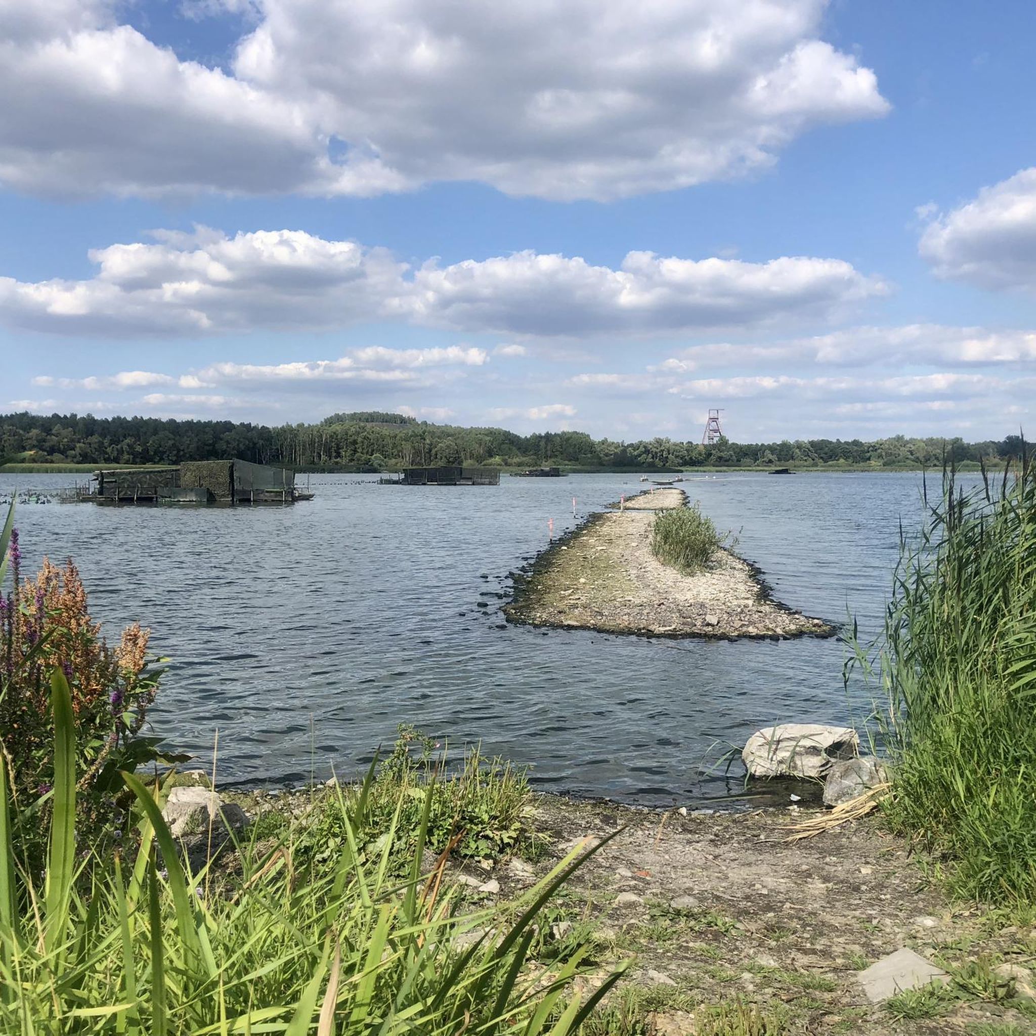
While hiking near Saint-Saulve, you can explore various natural attractions. Notable spots include the Goriaux Pond and Étang Chabaud-Latour, which are beautiful lakes. You might also encounter unique natural monuments like Le Caillou-qui-Bique, or wander through forests such as Bois d'Angre.
Are there any historical sites or unique features to explore while hiking?
Yes, the region around Saint-Saulve is rich in history. You can hike through landscapes shaped by mining, including slag heaps that offer unique perspectives. Trails like the Bunker in Northern France loop from Saultain or the Bunker in Northern France loop from Estreux offer a unique experience exploring historical military features. The Boucle de Chabaud-Latour also allows observation of historical mining structures.
What is the best time of year to go hiking in Saint-Saulve?
The best time to go hiking in Saint-Saulve is generally during spring, summer, and early autumn. These seasons offer pleasant weather for exploring the diverse landscapes, from lush meadows to forests. Spring brings blooming flora, while autumn showcases vibrant fall colors, especially in areas like the Scarpe-Escaut Regional Nature Park.
Is parking available at the trailheads around Saint-Saulve?
Parking is generally available at or near many trailheads, especially for routes starting from towns or designated recreational areas. For trails within the municipality of Saint-Saulve or those originating from larger towns like Valenciennes, you can often find public parking facilities. It's always a good idea to check specific route details for parking information.
Most popular routes around Saint-Saulve
Most popular attractions around Saint-Saulve

Get inspired with the komoot mobile app


Explore more
Browse the best Hikes in other regions.
