The best running trails around Bruille-Lez-Marchiennes
4.4
(85)
5,666
runners
332
runs
Jogging routes around Bruille-Lez-Marchiennes traverse a landscape shaped by canals, waterways, and former mining areas now repurposed into natural spaces. The region features flat towpaths along the Canal de l'Escaut and around the Bassin Rond, offering consistent terrain. Runners can also explore the varied environments of the Scarpe-Escaut Regional Natural Park, which includes lakes like the Étang des Argales and reconverted terrils providing some elevation changes. The area offers a mix of rural countryside paths and well-maintained trails suitable for…
Last updated: July 10, 2026
5.0
(2)
335
runners
11.5km
01:16
70m
70m
Moderate run. Good fitness required. Mostly paved surfaces. Suitable for all skill levels.
83
runners
5.03km
00:32
30m
30m
Moderate run. Good fitness required. Mostly paved surfaces. Suitable for all skill levels.

Sign up for free
11
runners
8.77km
00:55
20m
20m
Moderate run. Good fitness required. Mostly paved surfaces. Suitable for all skill levels.
6
runners
4.81km
00:30
10m
10m
Easy run. Great for any fitness level. Mostly paved surfaces. Suitable for all skill levels.
8
runners
3.39km
00:21
20m
20m
Easy run. Great for any fitness level. Mostly paved surfaces. Suitable for all skill levels.
Get access to more routes and recommendations from other explorers.
Sign up for free
Already have an account?
Our route recommendations are based on thousands of hikes, rides, and runs completed by other people on komoot.
Start today with a free account
Your next adventure awaits.
Login or Signup

Tips from the Community

Great place to run on several routes or hike with the family
0
0

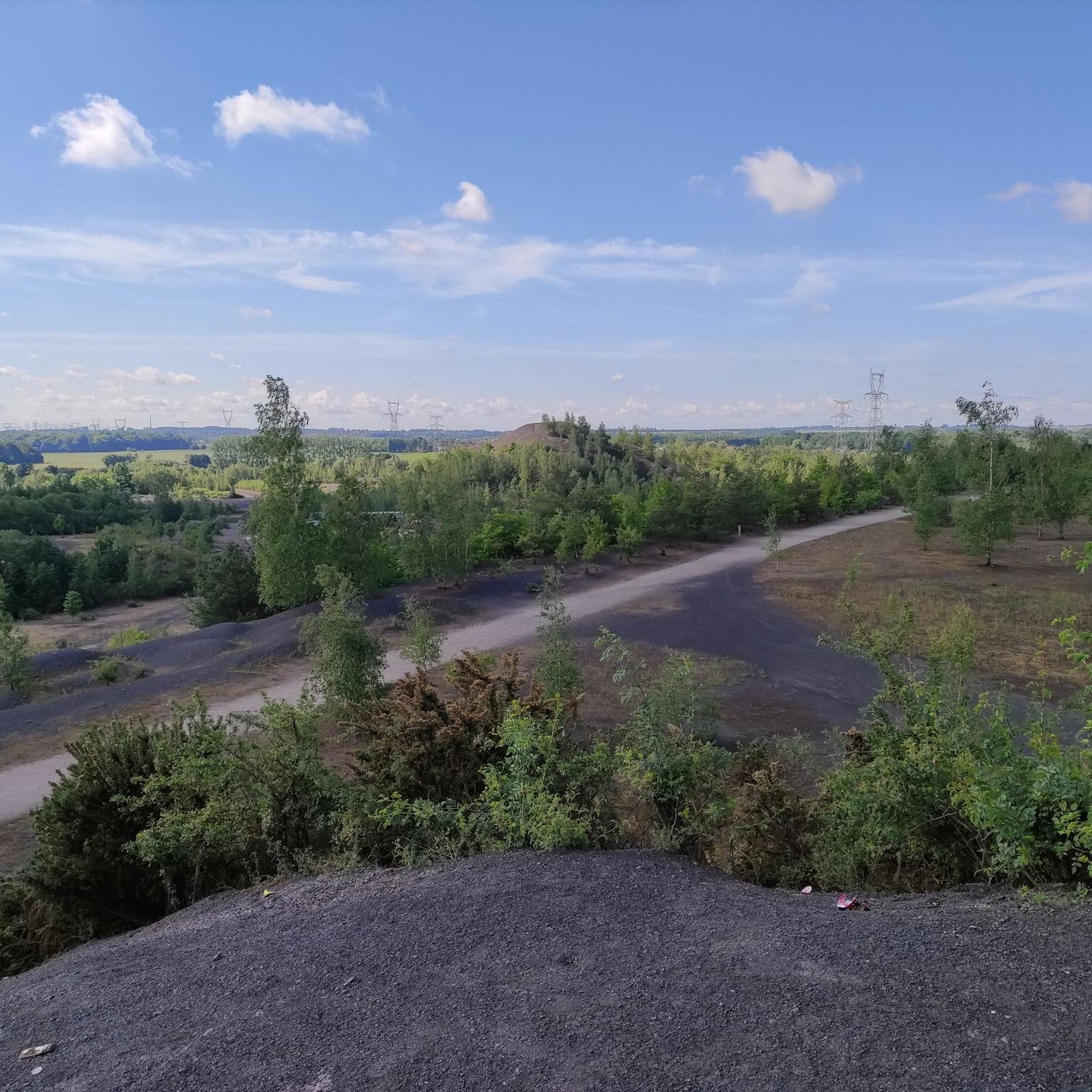
The Rieulay slag heap, also known as the Argales slag heap, is the largest in the region with its 140 hectares. Formerly an industrial site for the storage of waste rock from the surrounding mines, it has been converted into a protected natural area and a place for leisure.
0
0

Magnificent setting for running and doing a bit of elevation gain!
0
0

Magnificent natural setting. From the banks of the Scarpe to the Argales site. Simply exceptional!
4
0

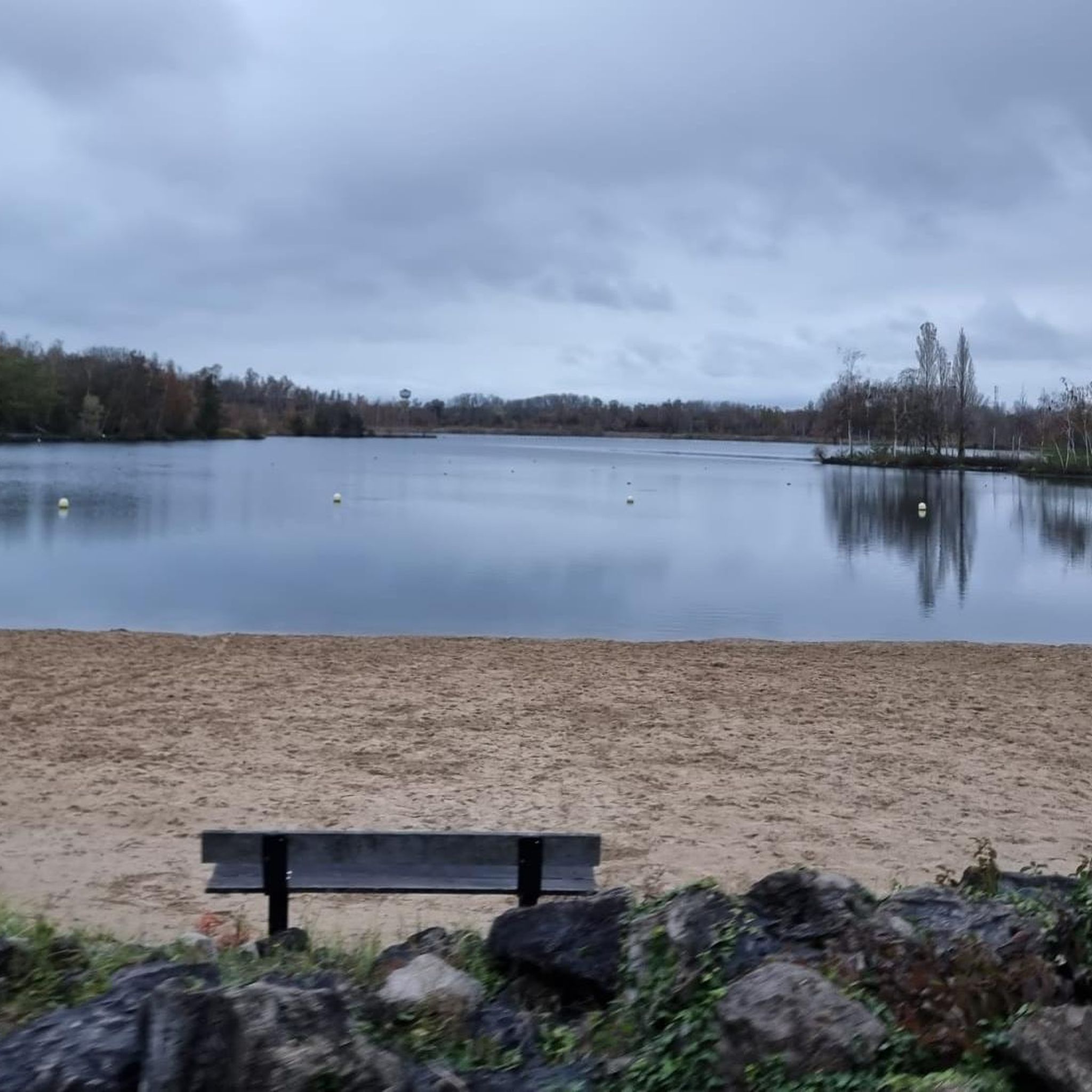
This lake located in the Scarpe-Escaut natural park, near the town of Rieulay, is a former mining site where a subsidence created a vast body of water. You can run around the lake and enjoy the view of the water and the birds. The lake has a flat, easy trail suitable for all levels of runners. The lake is a great place to exercise and breathe fresh air.
2
0
sector which starts with a big climb and which gives a beautiful view of the horizon
0
0

Pretty marsh with a bird sanctuary. Quite a few kiosks all around the marsh to admire the landscapes.
4
0
Magnificent playground. The different paths allowing to multiply the routes.
1
0
Frequently Asked Questions
What kind of terrain can I expect on running routes around Bruille-Lez-Marchiennes?
The running routes in Bruille-Lez-Marchiennes offer a diverse landscape. You'll find many flat, well-maintained towpaths along the Canal de l'Escaut and around the Bassin Rond, perfect for consistent running. The area also features varied environments within the Scarpe-Escaut Regional Natural Park, including paths around lakes like the Étang des Argales. For those seeking more challenge, reconverted terrils (slag heaps) provide routes with inclines and panoramic views, offering some elevation changes.
Are there many running routes available in the Bruille-Lez-Marchiennes area?
Yes, the region boasts an extensive network of trails. There are over 300 documented running routes around Bruille-Lez-Marchiennes, catering to various preferences and fitness levels. This includes easy village loops, moderate lake circuits, and more challenging paths.
What are some scenic natural features or landmarks I can see while jogging?
Jogging in Bruille-Lez-Marchiennes allows you to explore several natural and historical features. You can run along the peaceful canals and waterways, including the Canal de l'Escaut. The Étang des Argales is a prominent lake offering beautiful views. You might also encounter reconverted terrils, which are former mining slag heaps now transformed into natural sites, providing unique elevated perspectives of the countryside. The general rural landscape with its country paths and fields also offers charming scenery.
Are there any easy or beginner-friendly running routes in Bruille-Lez-Marchiennes?
Absolutely. The area offers a good selection of easy routes, with over 40 trails classified as easy. A great option for beginners or a relaxed run is the Running loop from Bruille-lez-Marchiennes, which is 3.0 miles (4.8 km) and leads through village surroundings and country lanes. Many of the canal-side paths are also relatively flat and well-suited for an easier pace.
What do other runners say about the trails in Bruille-Lez-Marchiennes?
The running routes in Bruille-Lez-Marchiennes are highly regarded by the komoot community, with an average rating of 4.4 stars from over 60 reviews. Runners often praise the tranquil canal-side paths, the rich biodiversity of the Scarpe-Escaut Regional Natural Park, and the unique reconverted terrils. The variety of terrain and well-maintained trails are frequently highlighted as positive aspects.
Are there any circular running routes around Bruille-Lez-Marchiennes?
Yes, many of the running routes in the area are circular, allowing you to start and finish at the same point. For example, the Argales Pond – Lac des Argales loop from Somain is a popular 5.7-mile (9.2 km) circular route around the Étang des Argales. Another option is the Lac des Argales – Étang des Argales loop from Rieulay, which is a longer 7.5-mile (12.1 km) circular path.
Can I find running routes suitable for families in this region?
Yes, many trails in Bruille-Lez-Marchiennes are described as family-friendly and accessible for various fitness levels. The
What are the parking options like for running trails in Bruille-Lez-Marchiennes?
While specific parking details for every route vary, the region is generally well-equipped for outdoor activities. Many trailheads, especially those near popular spots like the Étang des Argales or within villages, often have designated parking areas. It's advisable to check the individual route descriptions on komoot for specific parking information before you head out.
Are there any running routes that pass by lakes or other water bodies?
Absolutely. The region is characterized by its network of canals and lakes. Many routes follow the Canal de l'Escaut or circle around the Bassin Rond. The Étang des Argales is a central feature, with several popular running routes, such as the Lac des Argales – Argales Pond loop from Pecquencourt, offering scenic views of the water.
Is Bruille-Lez-Marchiennes a good place for longer distance running?
Yes, the area offers routes suitable for longer distances. While the Sentier de la Motte is a shorter option, there are
What is the best time of year to go running in Bruille-Lez-Marchiennes?
Bruille-Lez-Marchiennes offers pleasant running conditions through much of the year. Spring and autumn provide mild temperatures and beautiful scenery, with changing foliage or blooming nature. Summer is also suitable, especially in the mornings or evenings, though some paths might be more exposed to the sun. Winter running is possible, but it's always wise to check local weather conditions, as some trails might be muddy or slippery.
Are there any amenities like cafes or pubs near the running routes?
Bruille-Lez-Marchiennes and its surrounding villages offer local amenities. While specific cafes or pubs directly on every trail might be limited, you can often find establishments in the towns and villages that the routes pass through or start from. It's a good idea to plan your route to include a stop in a village if you're looking for refreshments.
Most popular routes around Bruille-Lez-Marchiennes
Most popular attractions around Bruille-Lez-Marchiennes

Get inspired with the komoot mobile app


Explore more
Browse the best Running Trails & Routes in other regions.
