The best cycling routes around Bruille-Lez-Marchiennes
4.5
(253)
4,309
riders
275
rides
Touring cycling routes around Bruille-Lez-Marchiennes offer a diverse landscape for cyclists. The region is characterized by an extensive network of canals, such as the Canal de l'Escaut and Canal de la Scarpe, providing flat, scenic routes. It also features tranquil marshes, forests like the Forêt Domaniale de Marchiennes, and rewilded slag heaps, known as "terrils," which offer elevated viewpoints. This varied terrain provides options ranging from gentle canal-side paths to more challenging routes with some elevation.
Best touring cycling routes…
Last updated: May 21, 2026
4.3
(10)
102
riders
41.3km
02:45
100m
100m
Hard bike ride. Good fitness required. You may need to push your bike for some segments of this route.
4.7
(14)
43
riders
39.2km
02:32
60m
60m
Moderate bike ride. Good fitness required. Mostly paved surfaces. Suitable for all skill levels.

Sign up for free
4.3
(6)
58
riders
18.3km
01:25
100m
100m
Easy bike ride. Great for any fitness level. Mostly paved surfaces. Suitable for all skill levels.
4.6
(5)
45
riders
31.7km
02:13
60m
60m
Moderate bike ride. Good fitness required. Mostly paved surfaces. Suitable for all skill levels.
5.0
(1)
39
riders
56.6km
04:14
270m
270m
Hard bike ride. Good fitness required. You may need to push your bike for some segments of this route.
Get access to more routes and recommendations from other explorers.
Sign up for free
Already have an account?
Our route recommendations are based on thousands of hikes, rides, and runs completed by other people on komoot.
Start today with a free account
Your next adventure awaits.
Login or Signup
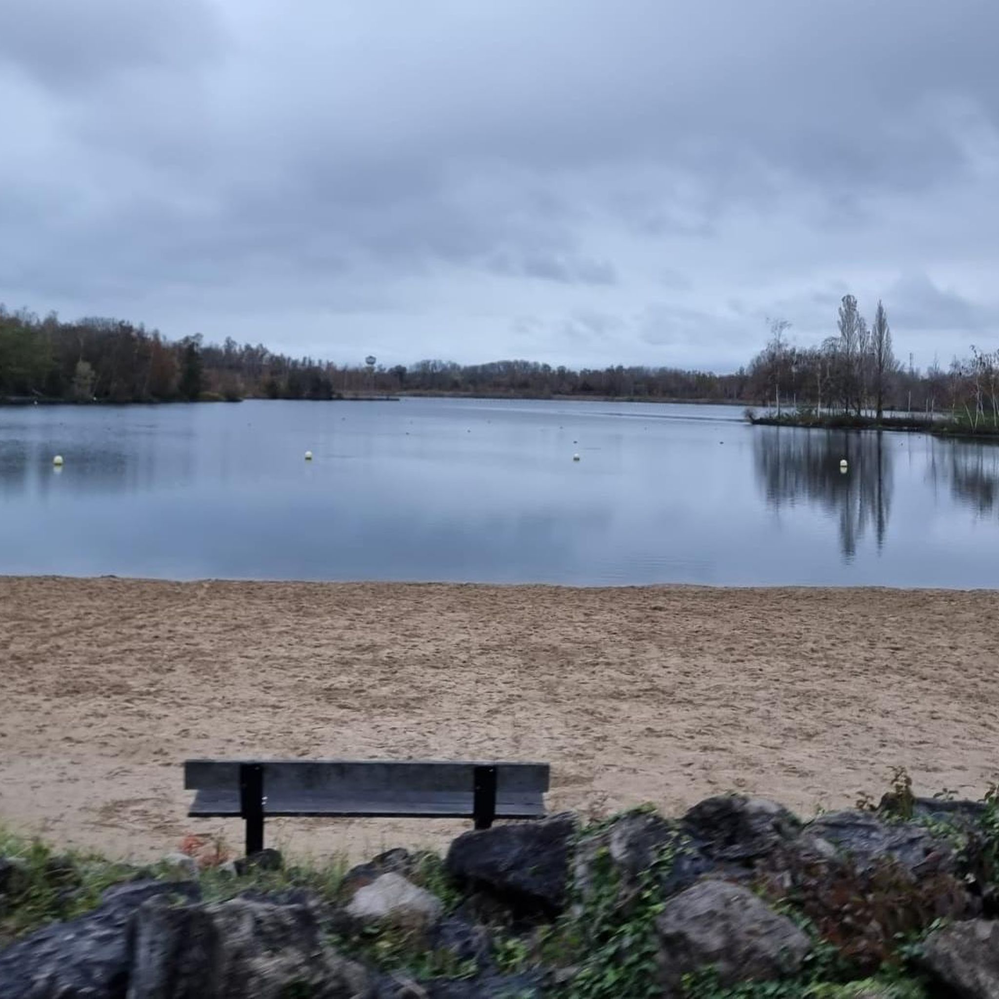
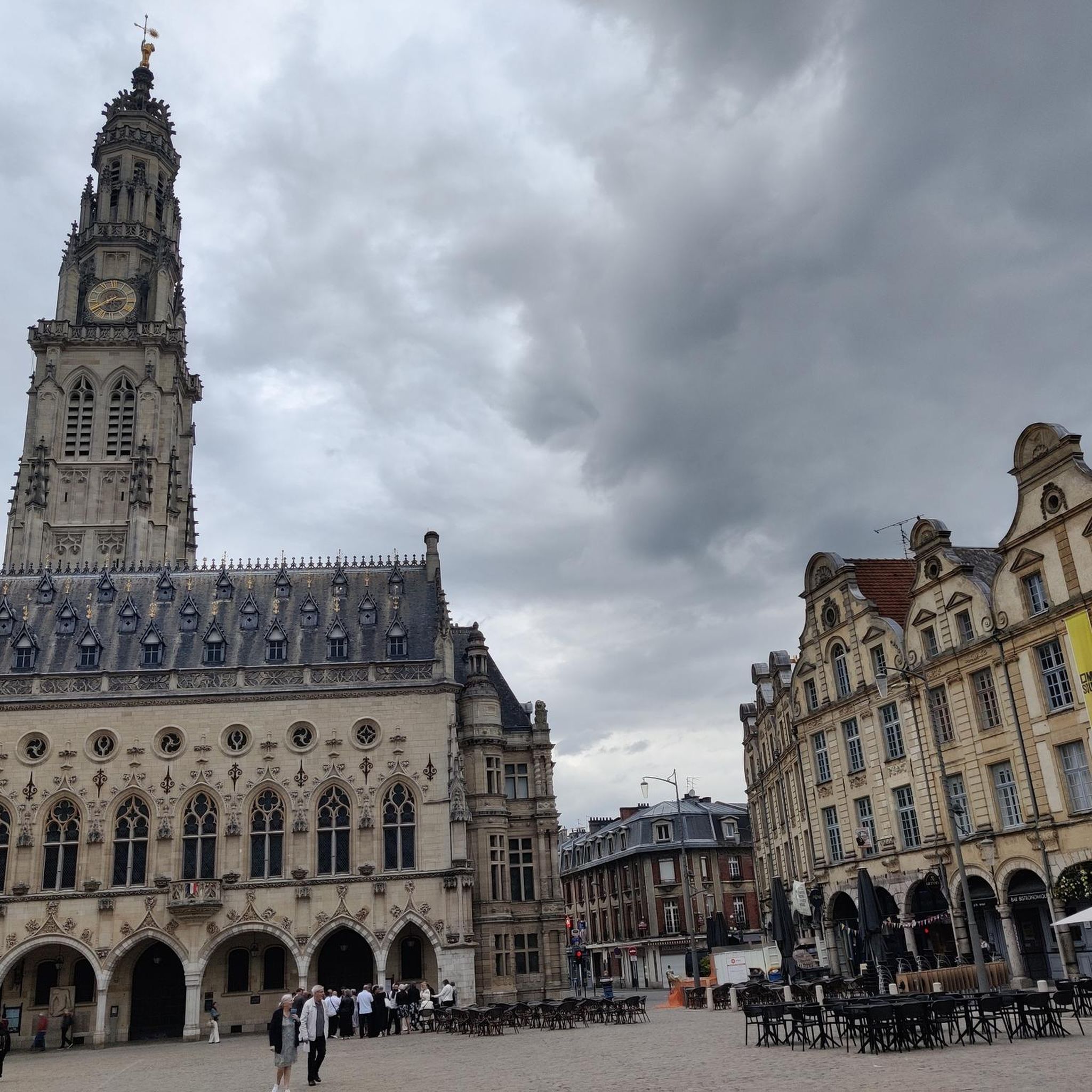
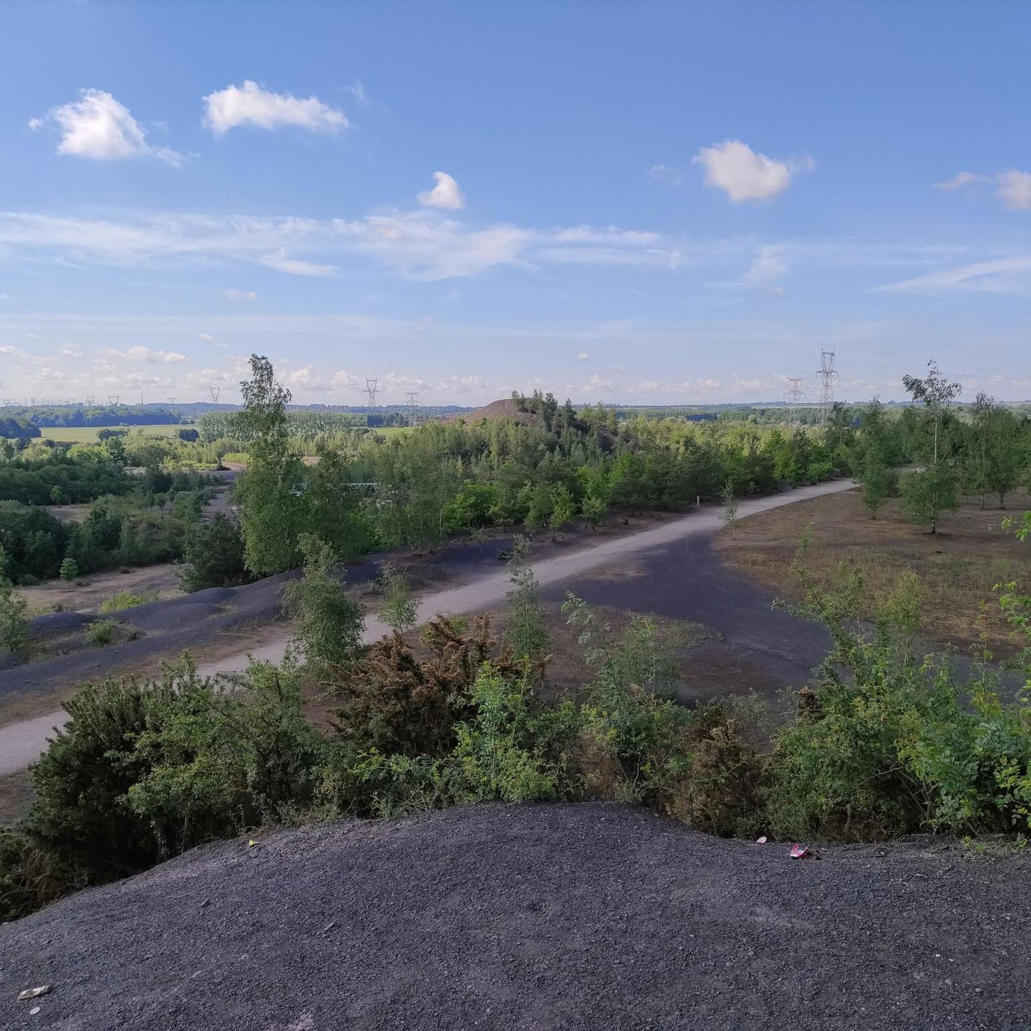


Tips from the Community

Nice singletrack with plenty of small bumps, including a big one.
0
0

Beautiful walk on a magnificent site
0
0

Enjoy nature instead of the hustle and bustle.
0
0

Great place to run on several routes or hike with the family
0
0

Frequently Asked Questions
How many touring cycling routes are available around Bruille-Lez-Marchiennes?
There are over 280 touring cycling routes around Bruille-Lez-Marchiennes, offering a wide variety of options for different skill levels and preferences. This includes 177 easy routes, 70 moderate routes, and 38 more challenging routes.
What kind of terrain can I expect when cycling in Bruille-Lez-Marchiennes?
The region offers diverse terrain. You'll find many flat, scenic routes along canals like the Canal de l'Escaut and Canal de la Scarpe. There are also paths through tranquil marshes and forests such as the Forêt Domaniale de Marchiennes. For those seeking more varied terrain, rewilded slag heaps, known as "terrils," provide elevated viewpoints and some moderate climbs.
Are there any family-friendly cycling routes in the area?
Yes, Bruille-Lez-Marchiennes is well-suited for family cycling, especially along the extensive network of canal towpaths which are generally flat and safe. The Parc naturel régional Scarpe Escaut also offers marked trails suitable for families. For a shorter, scenic option, consider the Étang des Argales – Argalles spoil tip and pond. loop from Rieulay, which is 15.4 km long and takes about 1 hour 11 minutes.
What are some notable natural features or landmarks to see along the cycling routes?
Cyclists can explore a variety of natural and historical landmarks. Key natural features include the picturesque Étang des Argales, the tranquil Germignies Marsh and Spoil Heap, and the scenic Towpath Along the Scarpe. The region's mining heritage is visible in the rewilded terrils, which offer unique landscapes and elevated views.
Are there any circular cycling routes available?
Yes, many routes in the area are circular, allowing you to start and end at the same point. An example is the challenging Marchiennes State Forest – Argalles spoil tip and pond. loop from Somain, which is 40.1 km long and explores forest paths and a rewilded slag heap. Another option is the moderate Towpath of the Scarpe – Croix-ou-Pile loop from Somain, covering 39.2 km along the canal.
What is the best time of year to go touring cycling in Bruille-Lez-Marchiennes?
The best time to cycle is generally during the spring, summer, and early autumn months when the weather is mildest and the natural landscapes are at their most vibrant. These seasons offer pleasant conditions for exploring the canals, forests, and terrils.
Can I find challenging routes for experienced touring cyclists?
Yes, while many routes are easy, there are 38 difficult routes for experienced cyclists. These often incorporate the rewilded terrils, which provide more elevation gain. For example, the Argalles spoil tip and pond. – Étang des Argales loop from Somain is a challenging 60.2 km route with over 200 meters of elevation gain.
What do other touring cyclists say about the routes in Bruille-Lez-Marchiennes?
The touring cycling routes in Bruille-Lez-Marchiennes are highly rated by the komoot community, with an average score of 4.4 stars from over 240 reviews. Cyclists often praise the varied landscapes, from serene canal paths to unique rewilded slag heaps, and the well-maintained trails.
Are there any long-distance cycling routes that pass through or near Bruille-Lez-Marchiennes?
Yes, for long-distance touring cyclists, the region is connected to the Scandibérique route, which is one of France's longest cycling routes. This offers extensive touring possibilities beyond the local trails. You can find more information about the Scandibérique route on Hauts-de-France Tourism.
Are there any specific routes that feature the rewilded slag heaps (terrils)?
Many routes incorporate the unique terrils of the former mining basin. These rewilded slag heaps offer distinct landscapes and elevated viewpoints. A good example is the challenging Étang des Argales – Small, bumpy single loop from Auberchicourt, which covers 53 km and includes some of these characteristic features.
Is public transport available to access cycling routes in the area?
Bruille-Lez-Marchiennes is situated within the Nord department, which generally has public transport options. While specific direct access points to trailheads via public transport might vary, the region's towns and villages are often connected, allowing for access to the broader cycling network. It's advisable to check local bus or train schedules for connections to specific starting points.
Are there places to stop for refreshments or rest along the routes?
Yes, the region offers opportunities for breaks. Along the canals, you might find guinguettes (waterside taverns) for a pleasant stop. Many routes also pass through quaint villages where you can find local cafes or shops. The areas around lakes like the Étang des Argales are also popular spots for rehydration or rest.
Most popular routes around Bruille-Lez-Marchiennes
Most popular attractions around Bruille-Lez-Marchiennes

Get inspired with the komoot mobile app


Explore more
Browse the best Cycling routes in other regions.
