The best running trails around Raedersheim
4.4
(170)
9,470
runners
537
runs
Jogging around Raedersheim offers access to diverse landscapes in the Haut-Rhin department of Alsace. The region features accessible natural paths, including forest trails and routes alongside waterways, providing varied terrain for runners. Its proximity to the Vosges Mountains also introduces opportunities for routes with gentle ascents, while local paths often remain relatively flat. This environment supports a range of running experiences, from leisurely jogs to more sustained efforts.
Best jogging routes around Raedersheim
- The most popular jogging route is Bike…
Last updated: June 28, 2026
63
runners
Moderate run. Good fitness required. Mostly paved surfaces. Suitable for all skill levels.
33
runners
14.2km
01:32
30m
30m
Moderate run. Good fitness required. Mostly paved surfaces. Suitable for all skill levels.

Sign up for free
5.0
(1)
19
runners
Moderate run. Good fitness required. Mostly paved surfaces. Suitable for all skill levels.
15
runners
11.3km
01:11
30m
30m
Moderate run. Good fitness required. Mostly paved surfaces. Suitable for all skill levels.
12
runners
7.43km
00:51
10m
10m
Moderate run. Good fitness required. Mostly paved surfaces. Suitable for all skill levels.
Get access to more routes and recommendations from other explorers.
Sign up for free
Already have an account?
Our route recommendations are based on thousands of hikes, rides, and runs completed by other people on komoot.
Start today with a free account
Your next adventure awaits.
Login or Signup
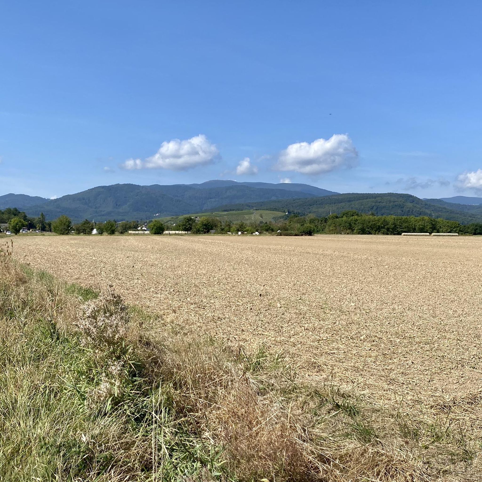
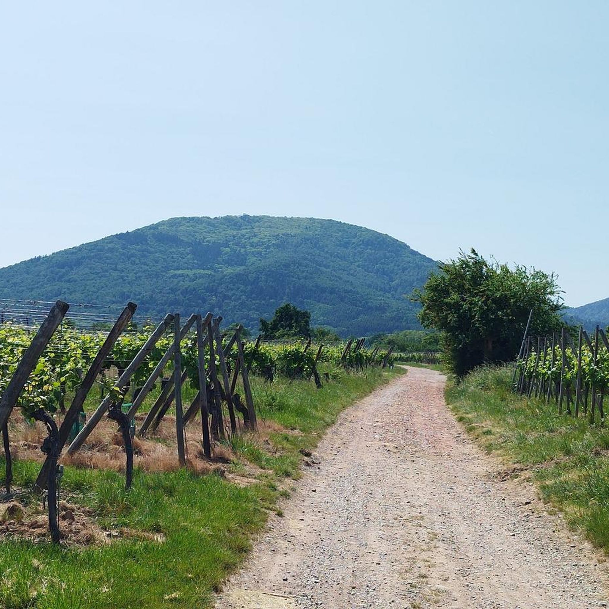
Tips from the Community

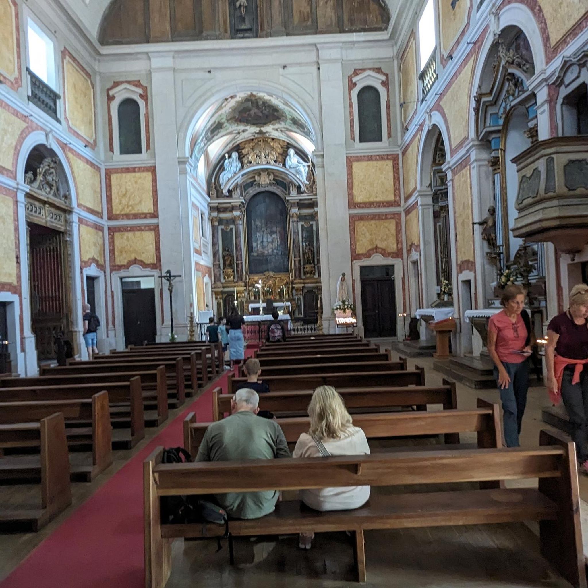
Beautiful Romanesque bell tower with vaulted ceiling. Sculpted main door. Small "Lourdes" grotto next to it.
0
0

Nice track with a good surface for rollerblading overall.
0
0

A photogenic place, otherwise it's just a simple bridge.
1
0

In 1904, a rich deposit of potash was discovered by Amélie and Albert Zürcher, Joseph Vogt and Jean-Baptiste Grisez. The epic tale of Alsace’s potash mines begins. In recent decades, 11 mining sites have ceased operations one after the other. Thanks to a certain anticipation of the end of this industry and the work of volunteers from the “Groupe Rodolphe” association, the Écomusée d'Alsace manages to save a “tile” that of the Rodolphe mine which was the most important site of exploitation established by the company of Mines of Kali Sainte Thérèse, from 1911. The mine stopped in 1976 and a large part of the installations were able to be preserved. For more than 25 years, the Groupe Rodolphe association, living memory of the place, has maintained, rehabilitated and highlighted this rich heritage to make it the Historic Potash Mining Center. Visiting the tile is a moment of intense emotion. The miners of the Rodolphe Group will make you relive the epic of the Potash Mines of Alsace and share their passion with the testimony of their experiences at the bottom of the mine. During this visit, they will take you on a journey in the footsteps of the potash miner, through reconstructions of production sites, to discover the 2 headframes and 2 extraction machines from 1912 and 1928, perfectly restored and in working order. walk. But you will also see surface installations that allowed ore processing and a complete and unique set of mining machines dating from the 1950s to 2004.
3
0


This section of cycle path follows an old railway line. As shown by the beautiful railway bridge where it begins. In Ensisheim, it ends at the lake of an old gravel pit which invites you to stop for a moment.
3
0

The cycle path is beautiful, with a part that follows old railway lines. You can ride from the lake to the river at the end.
2
0
Very nice quiet and relaxing place
2
0
Frequently Asked Questions
How many running routes are available around Raedersheim?
There are over 500 running routes available around Raedersheim, offering a wide variety of options for different preferences and fitness levels. The komoot community has explored more than 8,500 of these trails.
What are the difficulty levels of the running trails in Raedersheim?
The running trails around Raedersheim cater to various abilities. You'll find approximately 38 easy routes, over 300 moderate routes, and about 146 more challenging trails, ensuring there's something for every runner.
Are there any easy running routes suitable for beginners in Raedersheim?
Yes, Raedersheim offers around 38 easy running routes perfect for beginners or those looking for a relaxed jog. These routes typically feature minimal elevation changes and accessible paths, such as the local forest trails mentioned in the region's natural features.
Can I find circular running routes in Raedersheim?
Many of the running routes around Raedersheim are designed as loops, allowing you to start and finish in the same location. For example, the Church of Saints Peter and Paul loop from Raedersheim is a popular option, as are several routes originating from Ungersheim that feature the distinctive blue metal bridge.
Are there running routes with scenic viewpoints in the Raedersheim area?
Absolutely. The region's proximity to the Vosges Mountains means you can find routes offering rewarding views. For instance, the Viewpoint at the summit of Vieil Armand provides panoramic vistas and can be incorporated into more challenging runs. The Beautiful blue metal bridge – View of the Rodolphe mine loop from Ungersheim also offers open views towards the Rodolphe mine.
Are there running trails that pass by historical landmarks or points of interest?
Yes, Raedersheim's location in Alsace allows for runs that combine physical activity with cultural enrichment. You can find trails near historical sites like the Hartmannswillerkopf National Monument or the Adlerhorst Command Post – World War I. The 'Pram circuit' in Raedersheim itself passes by a historic menhir, offering a blend of nature and history.
What kind of terrain can I expect on running trails around Raedersheim?
Raedersheim offers diverse terrain for runners. You'll find accessible natural paths, including quiet, shaded forest trails like those within Raedersheim's own forest (e.g., the Pram circuit). There are also routes through open countryside and along waterways in nearby areas, providing generally flat surfaces. For those seeking more challenge, the proximity to the Vosges Mountains offers routes with gentle ascents.
What do other runners enjoy most about jogging in Raedersheim?
The running routes in Raedersheim are highly rated by the komoot community, with an average score of 4.3 stars. Reviewers often praise the varied terrain, from accessible forest paths to open countryside, and the well-maintained trails that offer a pleasant running experience.
Are there family-friendly running routes in Raedersheim?
While specific 'family-friendly' running routes aren't explicitly detailed, the region's easy and moderate trails, particularly those through forests or along flat paths, can be suitable for families. The 'Pram circuit' in Raedersheim, for example, is a walking track that is generally accessible and scenic, making it a good option for a leisurely family run or walk. For more information on the Pram circuit, you can visit visit.alsace.
Are there dog-friendly running trails in Raedersheim?
Many of the natural paths and forest trails around Raedersheim are suitable for running with dogs, provided they are kept under control. The region's extensive network of outdoor trails, including those through the local forests and open areas, offers plenty of space for you and your canine companion to enjoy a run together.
Are there any running routes that feature a distinctive blue metal bridge?
Yes, several popular running routes in the area feature a distinctive blue metal bridge. These include the Bike path to Ensisheim – Beautiful blue metal bridge loop from Ungersheim and the Beautiful blue metal bridge loop from Ungersheim, both of which are highly rated by local runners.
What is the longest running route available in the immediate Raedersheim area?
Among the highlighted routes, the Bike path to Ensisheim – Beautiful blue metal bridge loop from Ungersheim is one of the longer options, covering approximately 14.2 kilometers (8.8 miles) and typically taking about 1 hour and 30 minutes to complete.
Most popular routes around Raedersheim
Most popular attractions around Raedersheim

Get inspired with the komoot mobile app


Explore more
Browse the best Running Trails & Routes in other regions.
