The best walks and hikes around Raedersheim
4.5
(1945)
11,028
hikers
662
hikes
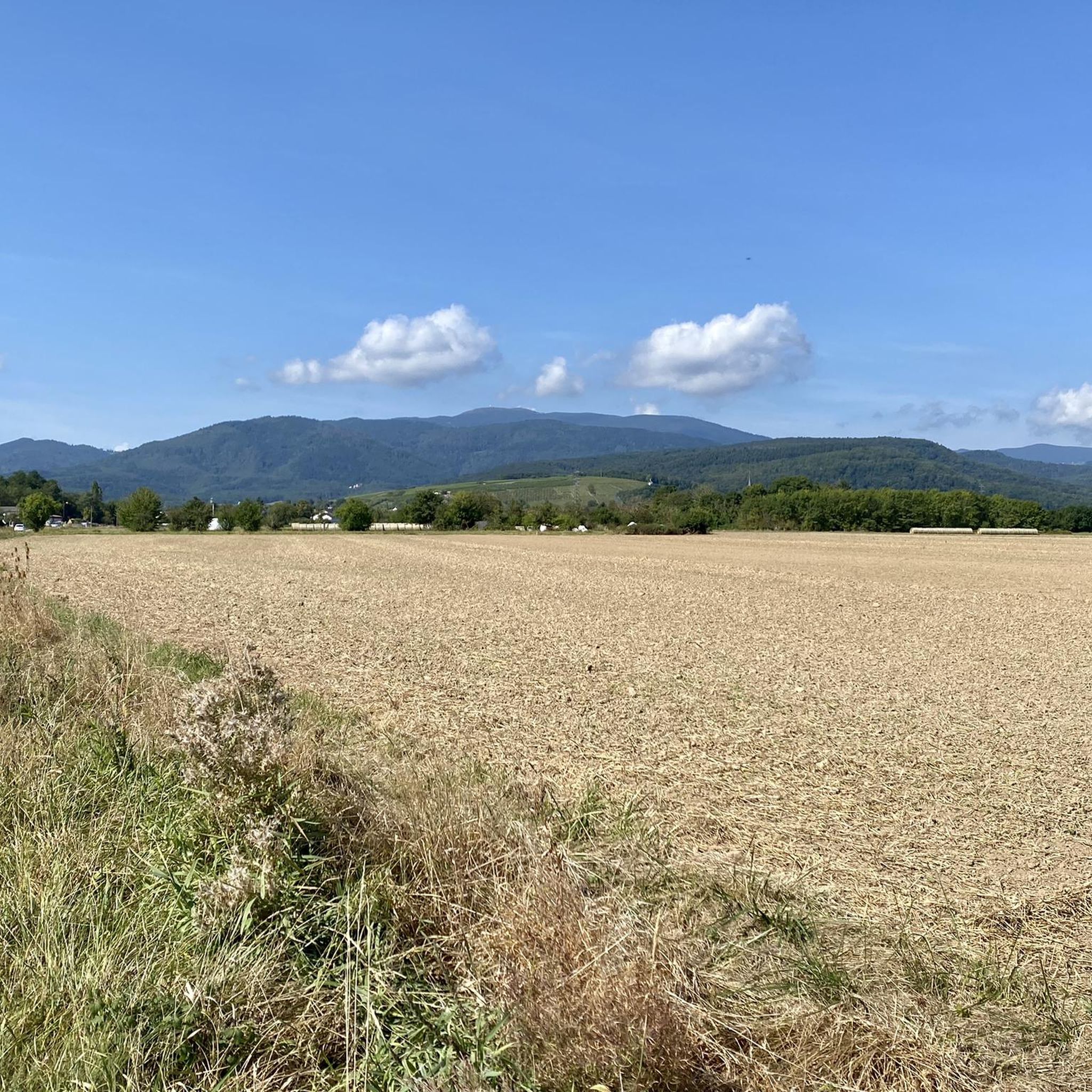
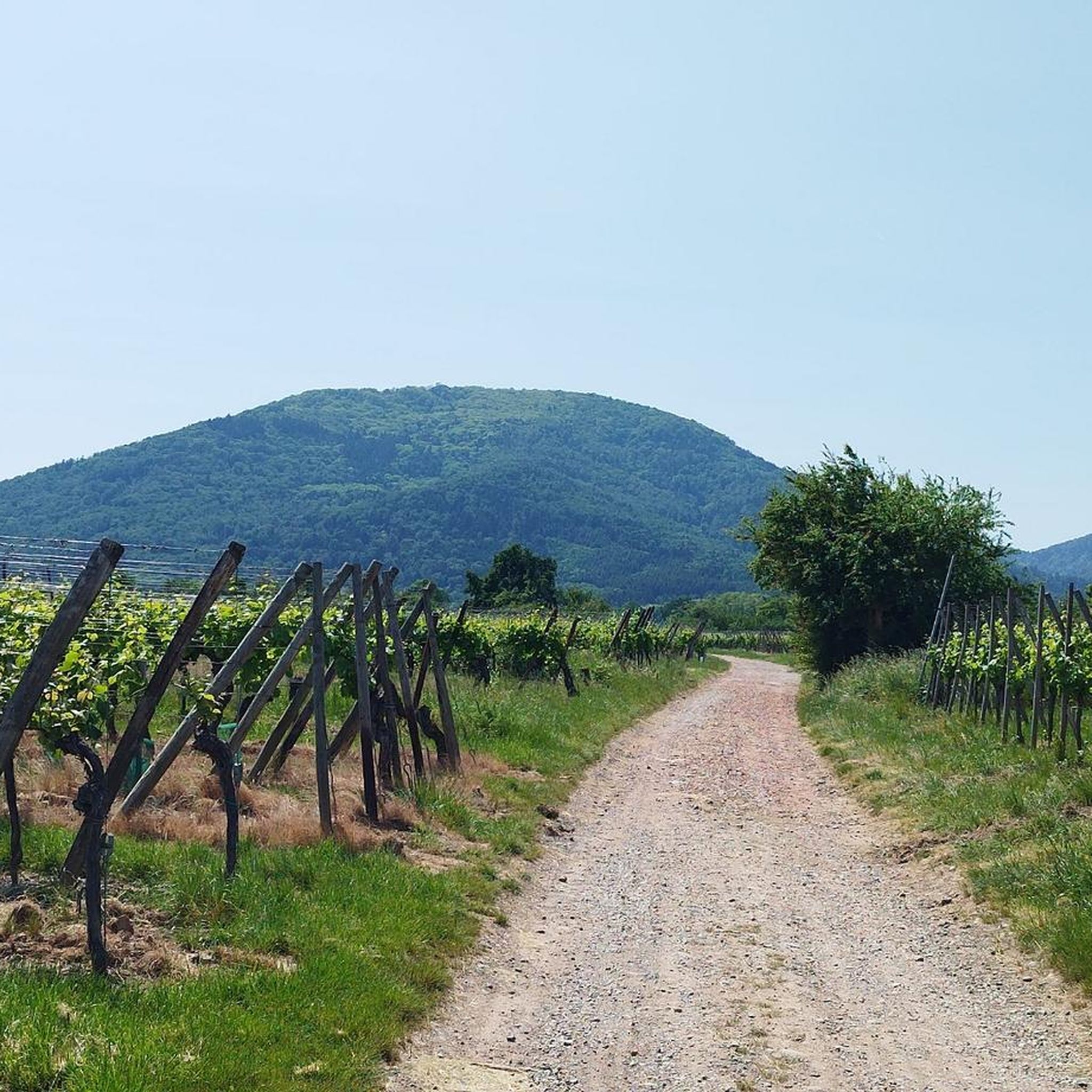
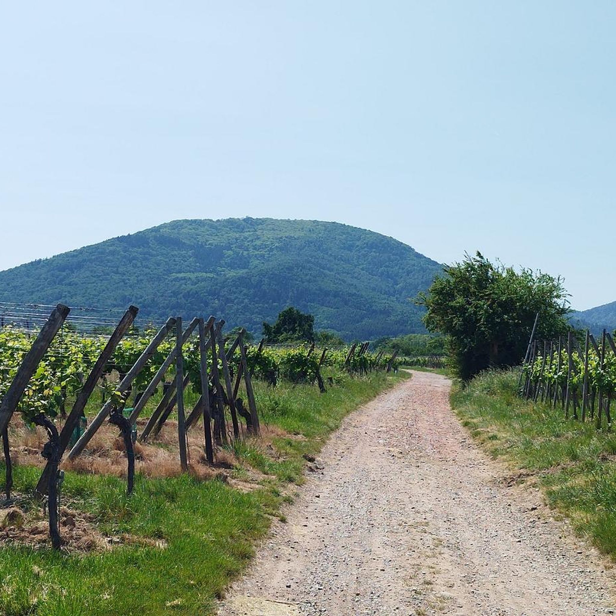
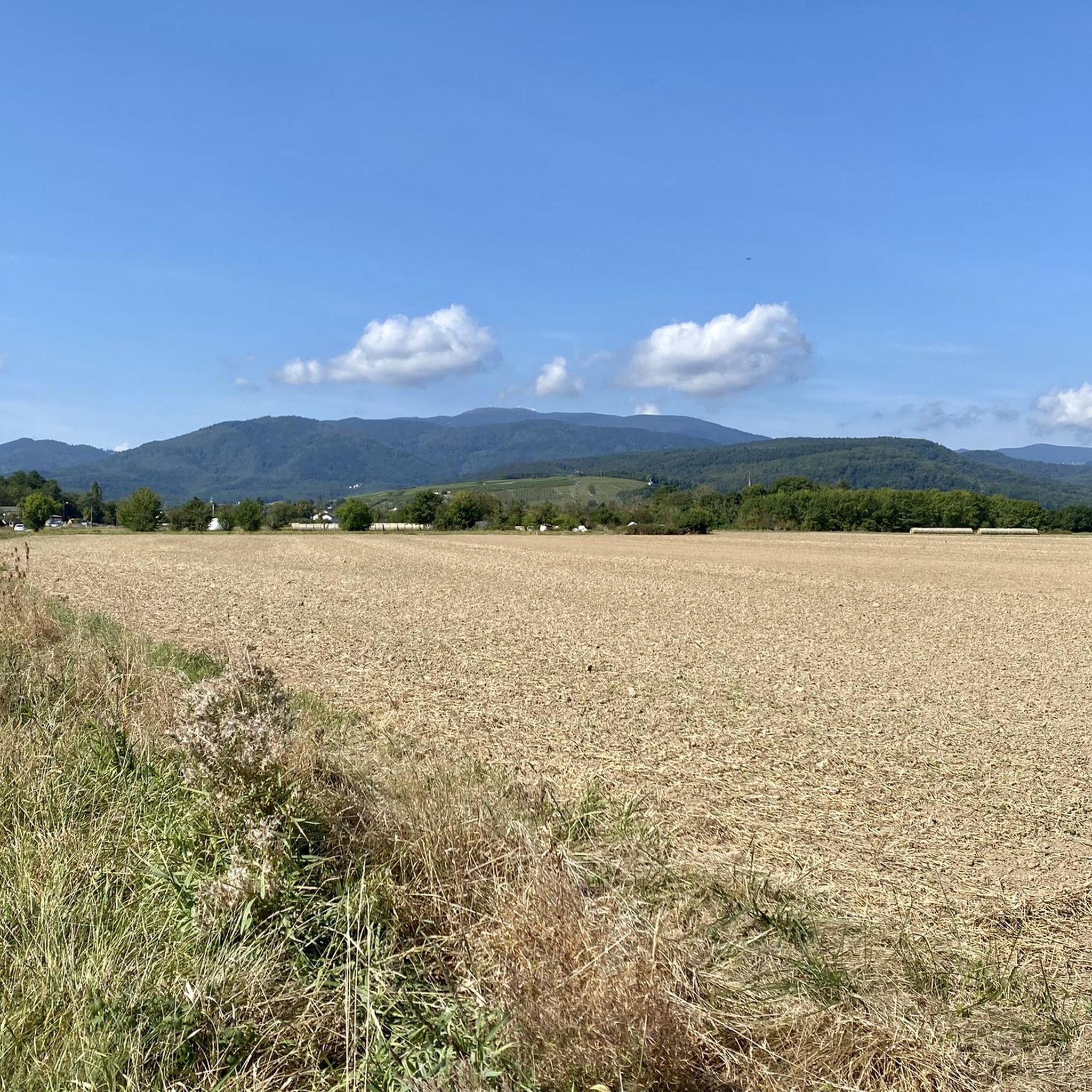
Hiking around Raedersheim offers access to diverse landscapes, from the flat plains of Alsace to the foothills of the Vosges Mountains. The region is characterized by a mix of dense forests, open agricultural fields, and picturesque vineyards. While the immediate vicinity features gentle terrain with minimal elevation changes, trails further afield provide more varied topography.
Best hiking trails around Raedersheim
- The most popular hiking route is Beautiful blue metal bridge – Ecomuseum of Alsace loop from Ungersheim, a 6.1…
Last updated: June 28, 2026
4.0
(6)
21
hikers
Moderate hike. Good fitness required. Easily-accessible paths. Suitable for all skill levels.
4.0
(1)
25
hikers
Moderate hike. Good fitness required. Easily-accessible paths. Suitable for all skill levels.

Sign up for free
7
hikers
4.43km
01:07
10m
10m
Easy hike. Great for any fitness level. Easily-accessible paths. Suitable for all skill levels.
7
hikers
4.48km
01:08
10m
10m
Easy hike. Great for any fitness level. Easily-accessible paths. Suitable for all skill levels.
5.0
(3)
7
hikers
11.0km
02:48
30m
30m
Moderate hike. Good fitness required. Easily-accessible paths. Suitable for all skill levels.
Get access to more routes and recommendations from other explorers.
Sign up for free
Already have an account?
Our route recommendations are based on thousands of hikes, rides, and runs completed by other people on komoot.
Start today with a free account
Your next adventure awaits.
Login or Signup
Tips from the Community


The Alsace Ecomuseum is one of the most beautiful open-air museums in France. Here, old houses from the Grand East have been brought together and rebuilt. You can learn about the lives of the people centuries ago. While the storks clatter away in competition.
0
0

A photogenic place, otherwise it's just a simple bridge.
1
0
The Écomusée d’Alsace is an open-air museum near Ungersheim. This is the largest open-air museum in France and is included in the list of Musées de France by the French Ministry of Culture. The museum opened on June 1, 1984 and at the time had around 20 rebuilt village houses. Today, 72 buildings from the 15th to 21st centuries can be admired here, which previously stood elsewhere, had to be demolished there and were rebuilt here. They were thus saved from planned destruction by the sponsoring association. The buildings include a bakery, a pottery and other craftsmen's houses, a school, a stone tower house and several farms and half-timbered houses as well as barns and stables. It is an extremely lively museum that shows the life of people in the village and the countryside in an excellent way: their jobs, their everyday lives, their way of life and their environment. Visitors are immersed in the world of that time. The museum was created from efforts in the 1970s to preserve traditional rural buildings in southern Alsace by restoring buildings threatened with demolition. In 1971, the "Alsatian Half-Timbered Houses" association was founded. Several buildings that could not be preserved at their location were dismantled by the association and, since 1980, rebuilt on land provided by the municipality of Ungersheim (former dry mining wasteland that had been burned by potash salts). The current museum was opened here with around 20 buildings. In addition, the entire area was designed in a very diverse village style. In addition, several tens of thousands of exhibits were used as gifts for a highly interesting and very vivid presentation in and around the houses. A visit with a detailed tour is absolutely worthwhile and highly recommended!!
1
0


Nice opportunities to cool off at the Than in summer
0
0
Frequently Asked Questions
What kind of landscapes can I expect to see while hiking around Raedersheim?
Hiking around Raedersheim offers a diverse range of landscapes. You'll find everything from the flat plains of Alsace to the foothills of the majestic Vosges Mountains. The region features dense forests, open agricultural fields, and picturesque vineyards. Further into the Vosges, you can explore rounded summits, glacial cirques, and mountain pastures.
Are there easy hiking trails suitable for beginners or families?
Yes, Raedersheim offers many easy trails perfect for beginners or families. For example, the Château de Bollwiller loop from Bollwiller is an easy 4.4 km route with minimal elevation gain. Another gentle option is the Ungersheim Church loop from Ungersheim, which is about 4.9 km long.
What are the typical terrains and difficulty levels of hikes in the region?
The terrain varies significantly. Near Raedersheim, you'll find gentle paths through fields and forests with minimal elevation changes. As you venture towards the Vosges Mountains, trails become more varied, including steeper ascents, rocky paths, and forest tracks. The region offers a full spectrum of difficulty, from easy strolls to more challenging routes in the mountains, with over 650 routes available, including 261 easy, 343 moderate, and 46 difficult options.
Are there any notable landmarks or viewpoints along the hiking trails?
Absolutely. The region is rich in historical and natural landmarks. You can hike to the historically significant Hartmannswillerkopf National Monument, which also offers a stunning viewpoint at its summit over the Alsace plain. For panoramic views, consider routes leading towards Col Amic or even the Grand Ballon, the highest peak in the Vosges.
Can I find circular hiking routes around Raedersheim?
Yes, many of the trails around Raedersheim are circular, allowing you to start and end at the same point. A popular moderate circular route is the Beautiful blue metal bridge – Ecomuseum of Alsace loop from Ungersheim, which is 9.8 km long. Another option is the Beautiful view of the Vosges – Plan d'eau des Oréades loop from Ungersheim, offering views towards the mountains.
What is the best time of year to hike in the Raedersheim area?
The region offers hiking opportunities year-round, but the best time largely depends on your preference. Spring brings blooming wildflowers and mild temperatures, while autumn showcases vibrant fall foliage, especially in the Vosges forests. Summer is ideal for higher-altitude trails, though lower routes can be warm. Winter hiking is possible, particularly on lower, well-maintained paths, but higher mountain trails may require specific gear due to snow and ice.
What do other hikers enjoy the most about hiking in Raedersheim?
The area is highly rated by the komoot community, with an average score of 4.5 stars from over 1,700 reviews. Hikers often praise the diverse terrain, from tranquil forest paths to picturesque vineyard strolls, and the stunning views, particularly towards the Vosges Mountains. The well-marked paths and variety of routes catering to all fitness levels are also frequently highlighted.
Are dogs allowed on the hiking trails around Raedersheim?
Generally, dogs are welcome on most hiking trails in the Raedersheim area and the wider Vosges region. However, it's always recommended to keep them on a leash, especially in nature reserves, agricultural areas, or near livestock. Always check local signage for specific restrictions, particularly in protected areas or around certain attractions.
Is public transport available to access hiking trails near Raedersheim?
While Raedersheim itself is a smaller community, public transport options exist in the wider Alsace region. Buses and trains connect larger towns, and some routes might offer connections closer to trailheads. For specific routes, it's advisable to check local transport schedules in advance, as direct access to all remote trailheads might be limited.
What natural features can I expect to see in the Vosges Mountains near Raedersheim?
The Vosges Mountains, easily accessible from Raedersheim, are known for their diverse natural features. You can expect to see extensive, shady forests, rounded summits (known as 'ballons'), and unique geological formations like glacial cirques and lakes. The region also features mountain pastures and peat bogs, particularly within the Ballons des Vosges Regional Nature Park, offering distinct ecosystems and scenic beauty.
Are there opportunities for hiking through vineyards in the region?
Yes, the region around Raedersheim is close to the renowned Alsace Wine Route, offering excellent opportunities for hiking through sun-drenched vineyards. These trails provide picturesque views over the Alsace Plain, and on clear days, you might even catch a glimpse of the Black Forest. For more information on vineyard walks, you can visit Walk through the vineyards without borders.
Most popular routes around Raedersheim
Most popular attractions around Raedersheim

Get inspired with the komoot mobile app


Explore more
Browse the best Hikes in other regions.
