The best road cycling routes around Raedersheim
4.4
(453)
11,753
riders
35
rides
Road cycling around Raedersheim offers a diverse landscape, characterized by rolling plains, historic villages, and ascents into the Vosges mountains. The region features a network of roads that traverse both agricultural areas and forested hillsides. Road cyclists can expect varied terrain, from gentle gradients suitable for leisure rides to challenging climbs over mountain passes.
Best road cycling routes around Raedersheim
- The most popular road cycling route is Firstplan Pass – Eguisheim loop from Raedersheim, a 45.7 miles (73.6 km)…
Last updated: July 5, 2026
4.4
(36)
547
riders
73.6km
03:39
850m
850m
Moderate road ride. Good fitness required. Some segments of this route may be unpaved and difficult to ride.
4.7
(19)
631
riders
58.2km
03:42
1,370m
1,370m
Hard road ride. Very good fitness required. Some segments of this route may be unpaved and difficult to ride.

Sign up for free
4.5
(8)
342
riders
43.0km
01:58
430m
430m
Moderate road ride. Good fitness required. Some segments of this route may be unpaved and difficult to ride.
4.9
(19)
769
riders
87.4km
04:59
1,800m
1,800m
Hard road ride. Very good fitness required. Some segments of this route may be unpaved and difficult to ride.
4.2
(6)
205
riders
59.0km
02:53
780m
780m
Moderate road ride. Good fitness required. Some segments of this route may be unpaved and difficult to ride.
Get access to more routes and recommendations from other explorers.
Sign up for free
Already have an account?
Our route recommendations are based on thousands of hikes, rides, and runs completed by other people on komoot.
Start today with a free account
Your next adventure awaits.
Login or Signup
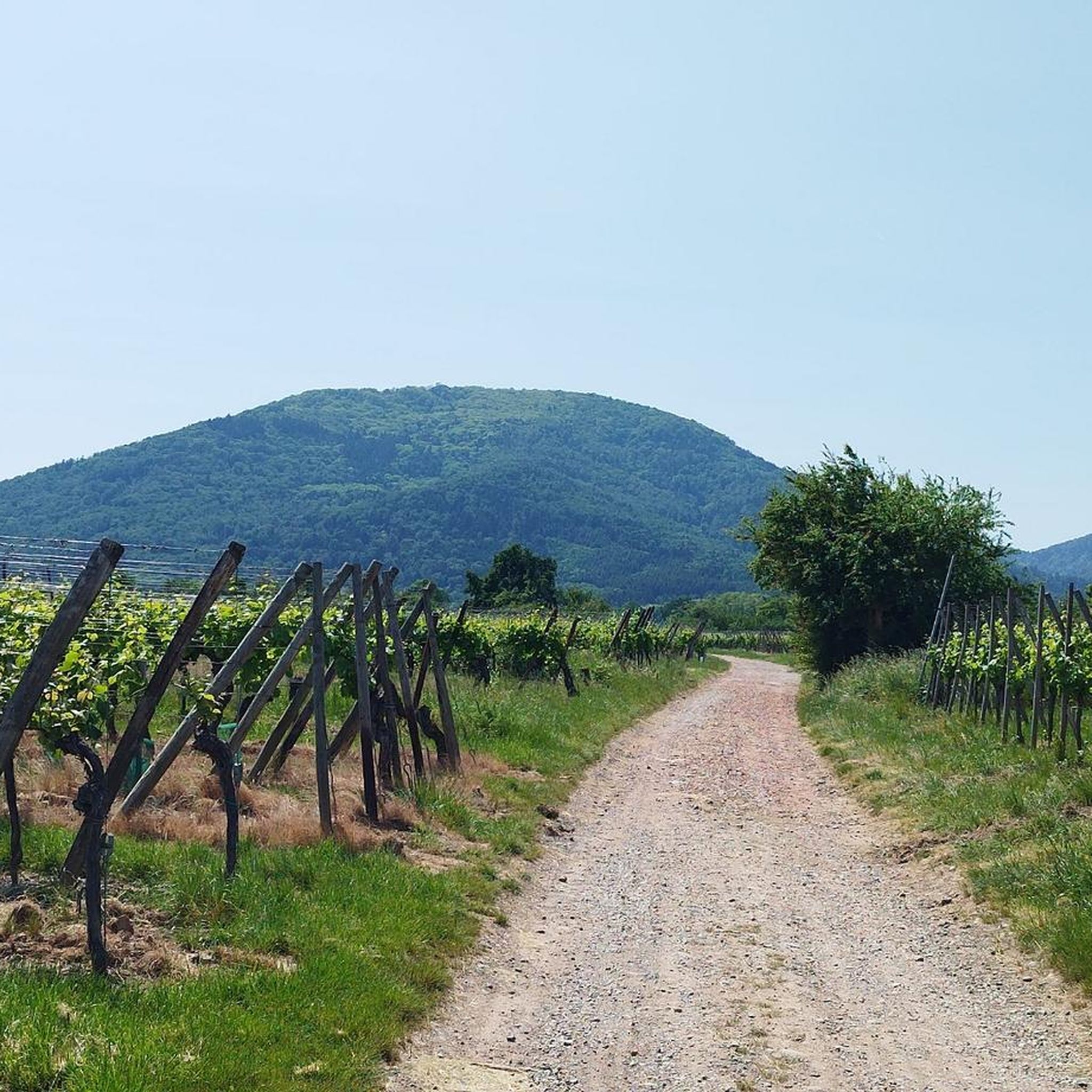
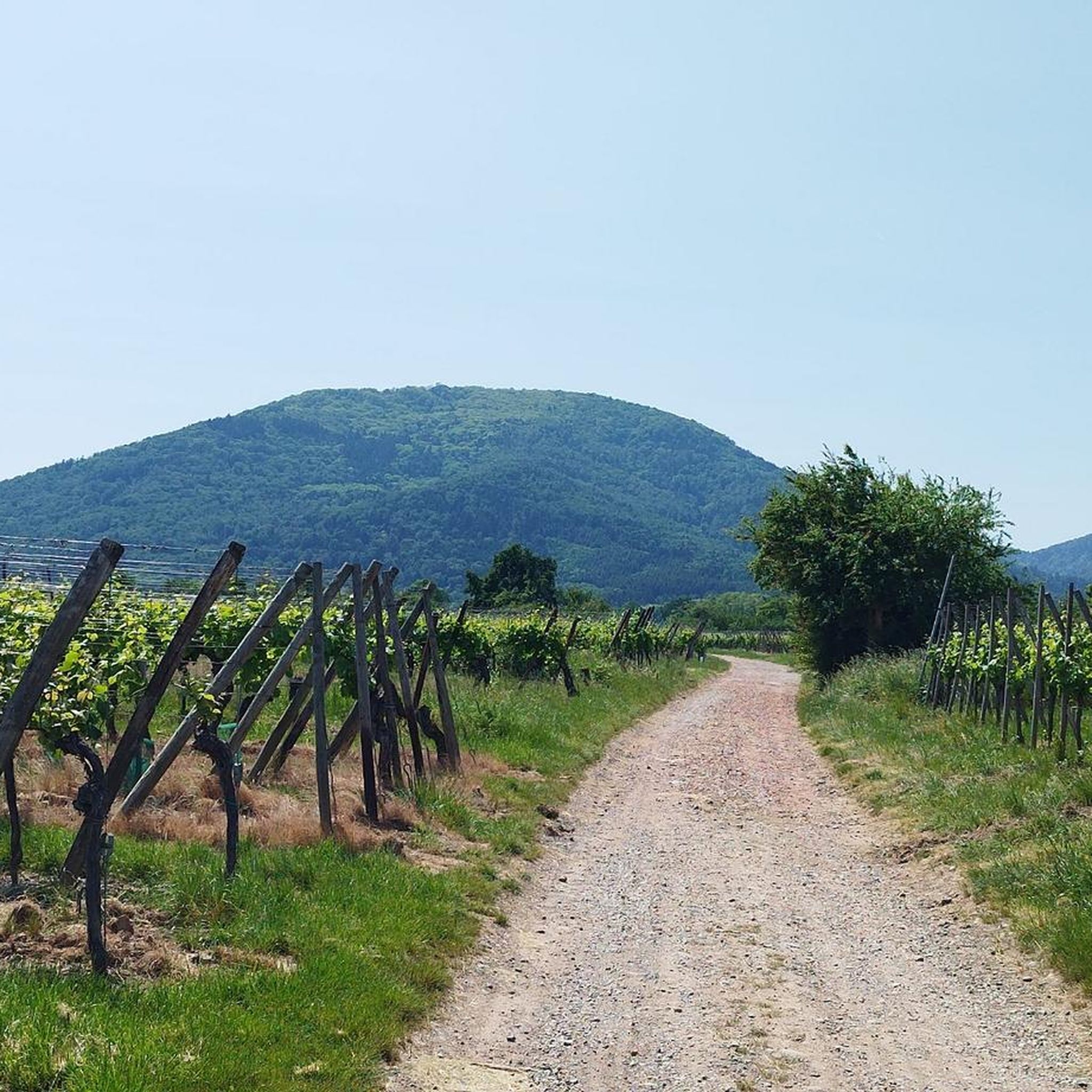
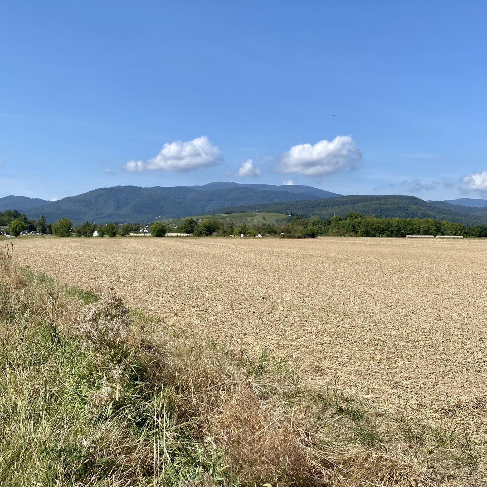
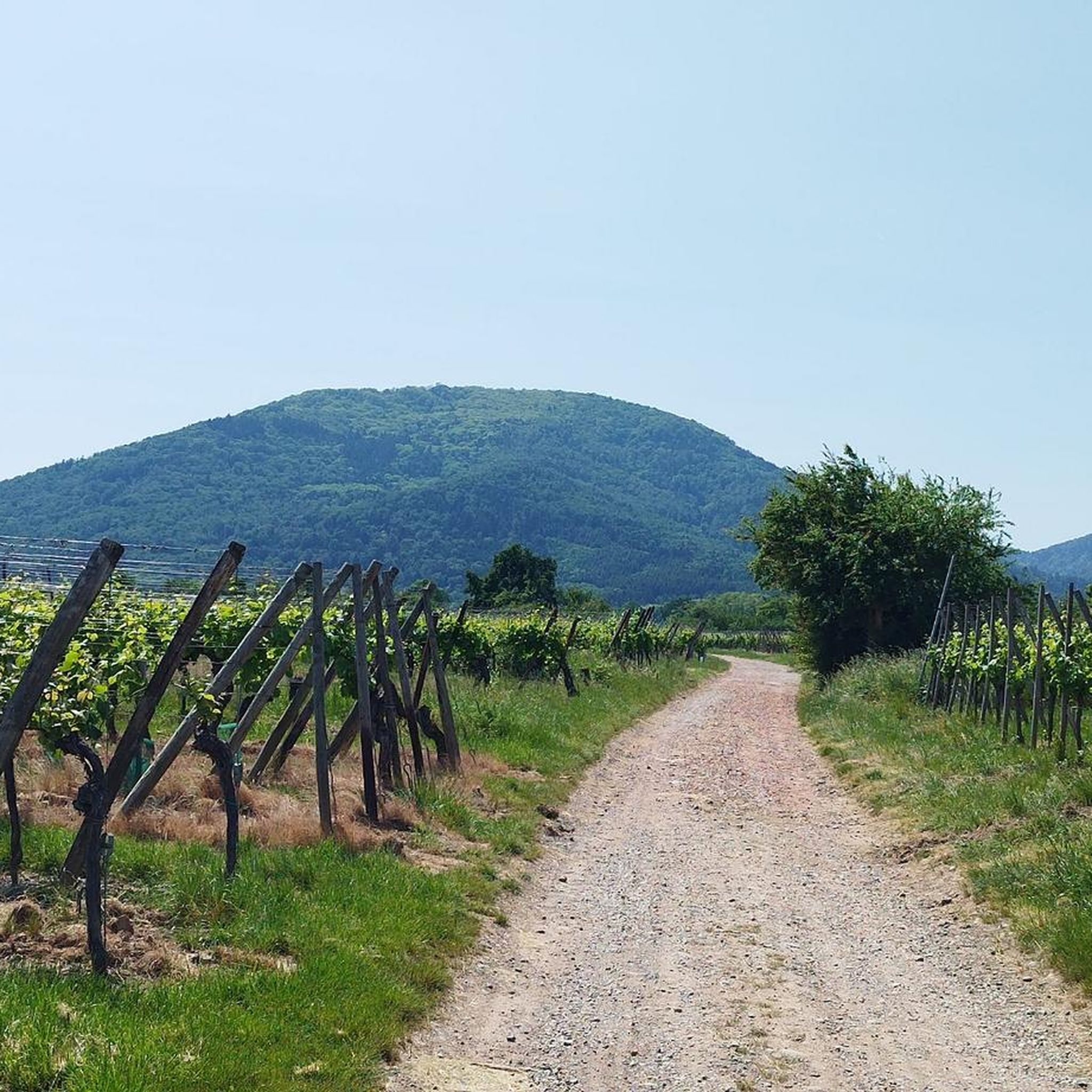
Tips from the Community

Met the mayor of the town today when I wanted to refill my bottles, he told me not to drink the water. This also applies to the other wells in town. I drank two bottles of it, everything was fine.
0
0

The Wells of Lautenbach The monks who founded Lautenbach settled in this area because of the abundant water resources. Over the centuries, population growth led to a multitude of wells, both public and private. Many wells, like the Stockbrunnen (a type of well), played an important role in the daily life of the village. The use of solid sandstone testifies to the wealth and prosperity of the village, which had developed into a small industrial town by the end of the 19th century. The wells remained in their original state until the construction of a water supply network. --- The Wells of Lautenbach The monks who founded Lautenbach settled in this area for its water resources. Over the centuries, population growth led to a multiplication of wells, both public and private. The names of the fountains, comme le Stockbrunna, participate in the vie quotidienne of the village. The large size used is signe of the richness and the prosperity of the village qui devient, à la fin du XIXe siècle, a small industrial town. Les fontaines conservent leur état d'origine jusqu'à la creation d'un réseau d'adduction en 1896.
0
0

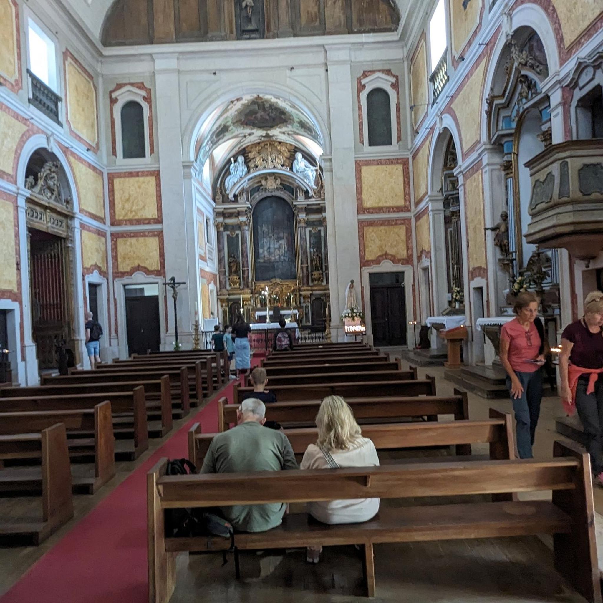
The church cannot be visited at this time as it is closed for renovations.
2
0


The pass will be closed to cars on Sunday, August 17 due to the Col’attitudes, it is reserved for cyclists
1
0

A pleasant section to ride, with moderate climbs and little traffic. There were a few racing cyclists on the road.
0
0

A beautiful climb with very little traffic. The beginning in Gueberschwihr is quite steep, followed by moderate and steady climbing to the Col du Firstplan.
0
0
Frequently Asked Questions
How many road cycling routes are available around Raedersheim?
There are over 25 road cycling routes around Raedersheim documented on komoot, offering a diverse range of experiences for cyclists of all levels. These routes have been explored by nearly 7,000 road cyclists.
Are there easy road cycling routes suitable for beginners in Raedersheim?
Yes, Raedersheim offers several routes suitable for beginners. While many routes are moderate, there are at least 3 easy routes. These typically feature gentler gradients and shorter distances, perfect for those new to road cycling or looking for a relaxed ride.
What are the options for advanced road cyclists looking for a challenge?
Advanced road cyclists will find challenging climbs and longer distances, particularly those venturing into the Vosges mountains. Routes like the Grand Ballon – Markstein loop from Raedersheim offer significant elevation gain and are rated as difficult, providing a true test of endurance.
Are there any circular road cycling routes around Raedersheim?
Many of the road cycling routes in Raedersheim are designed as loops, allowing you to start and finish in the same location. Examples include the popular Firstplan Pass – Eguisheim loop from Raedersheim and the Bannstein Pass – Well with drinking water loop from Raedersheim.
What kind of terrain can I expect on road cycling routes in Raedersheim?
The region around Raedersheim offers varied terrain, from rolling plains and agricultural areas to challenging ascents into the Vosges mountains. You'll encounter a mix of flat sections, gentle gradients, and significant pass climbs, providing a dynamic cycling experience.
What do other road cyclists enjoy most about the routes in Raedersheim?
The road cycling routes in Raedersheim are highly rated by the komoot community, with an average score of 4.7 stars from over 280 reviews. Cyclists often praise the diverse landscapes, the challenging mountain passes, and the scenic villages like Eguisheim and Rouffach that many routes pass through.
Are there road cycling routes that pass through historic villages or offer scenic viewpoints?
Absolutely. Routes often traverse charming historic villages, allowing you to experience the local culture. For instance, the A Beautiful Middle Age Village – Rouffach Old Town loop from Raedersheim takes you through the picturesque old town of Rouffach. Many routes also offer stunning views, particularly those climbing into the Vosges or providing glimpses of the Black Forest, such as the Alsace Plain – Black Forest view loop from Raedersheim.
What is the best time of year for road biking in Raedersheim?
While specific weather conditions can vary, the spring, summer, and early autumn months generally offer the most favorable conditions for road cycling in Raedersheim. During these periods, you can expect milder temperatures and less chance of snow on higher passes, making for more enjoyable rides.
Are there any routes with convenient water stops or cafes along the way?
Yes, some routes are known for convenient amenities. The Bannstein Pass – Well with drinking water loop from Raedersheim, for example, specifically highlights a well with drinking water, which can be a welcome stop on your ride. Many villages along the routes also offer cafes and bakeries.
What is the typical length of road cycling routes around Raedersheim?
The routes vary significantly in length to cater to different preferences. You can find shorter rides around 25-30 miles (40-50 km), such as the Bannstein Pass – Well with drinking water loop from Raedersheim, up to longer, more challenging routes exceeding 55 miles (90 km), like the Grand Ballon – Markstein loop from Raedersheim.
What are some of the notable passes included in Raedersheim's road cycling routes?
The region is known for its mountain passes, which are often highlights of the road cycling experience. Notable passes include the Firstplan Pass, featured in the Firstplan Pass – Eguisheim loop, and the Bannstein Pass, part of the Bannstein Pass – Well with drinking water loop. For a significant challenge, the Grand Ballon and Markstein passes are also accessible from Raedersheim.
Most popular routes around Raedersheim
Most popular attractions around Raedersheim

Get inspired with the komoot mobile app


Explore more
Browse the best Road cycling routes in other regions.
