The best cycling routes around Freissinières
4.4
(263)
6,801
riders
127
rides
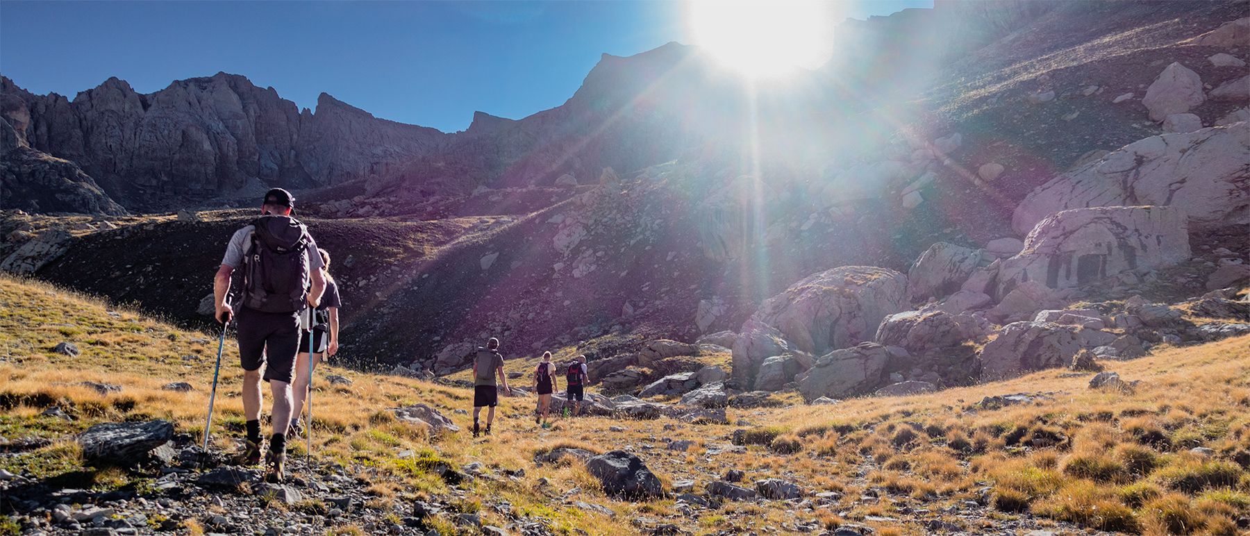
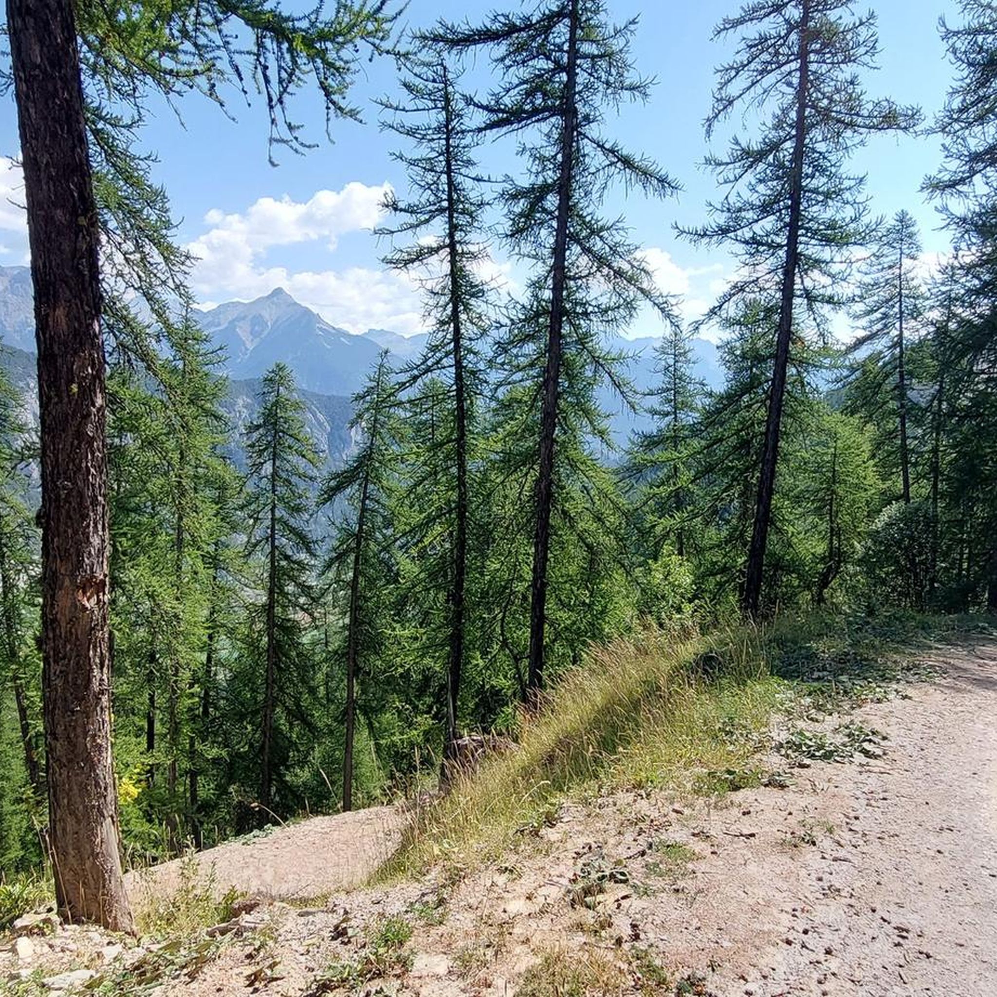
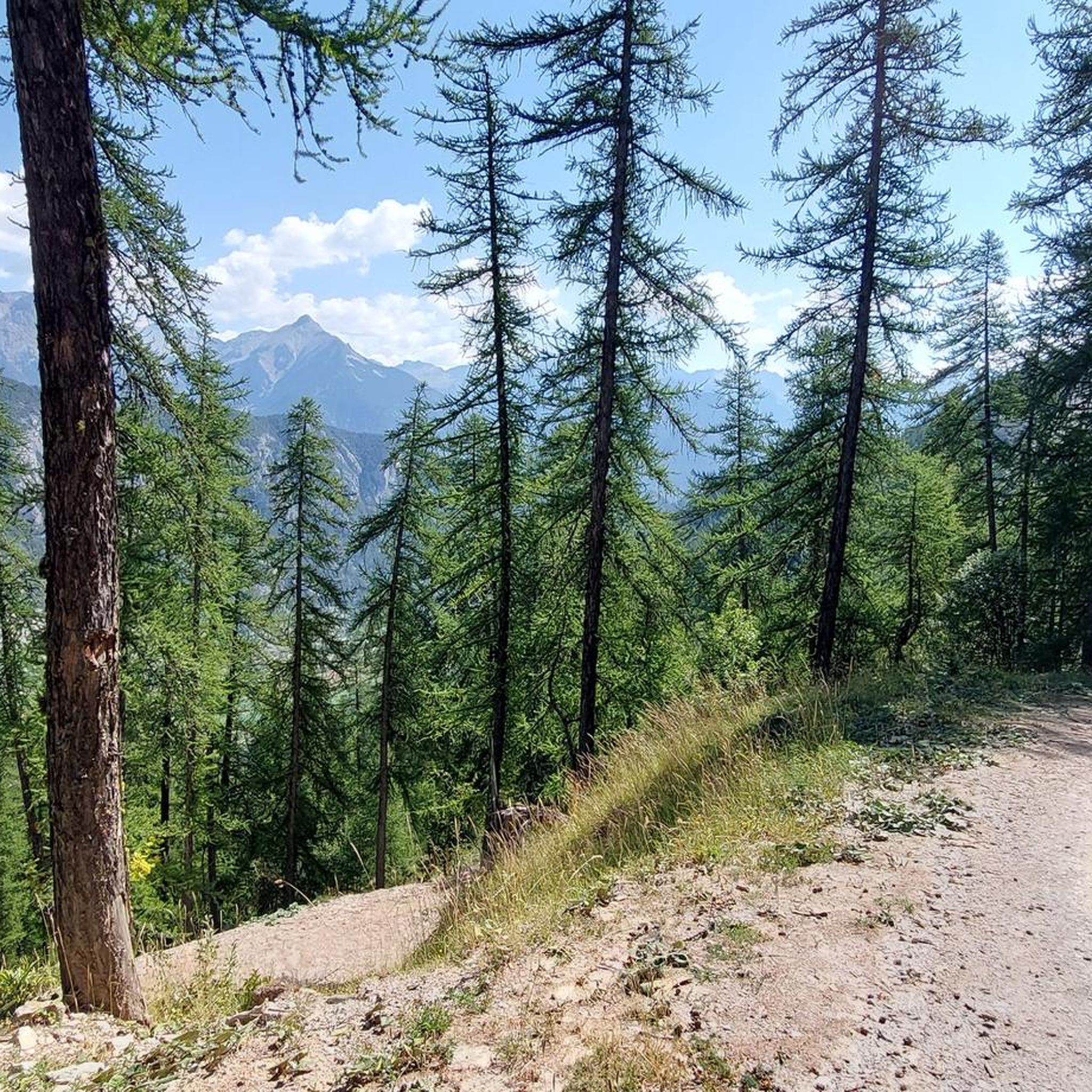
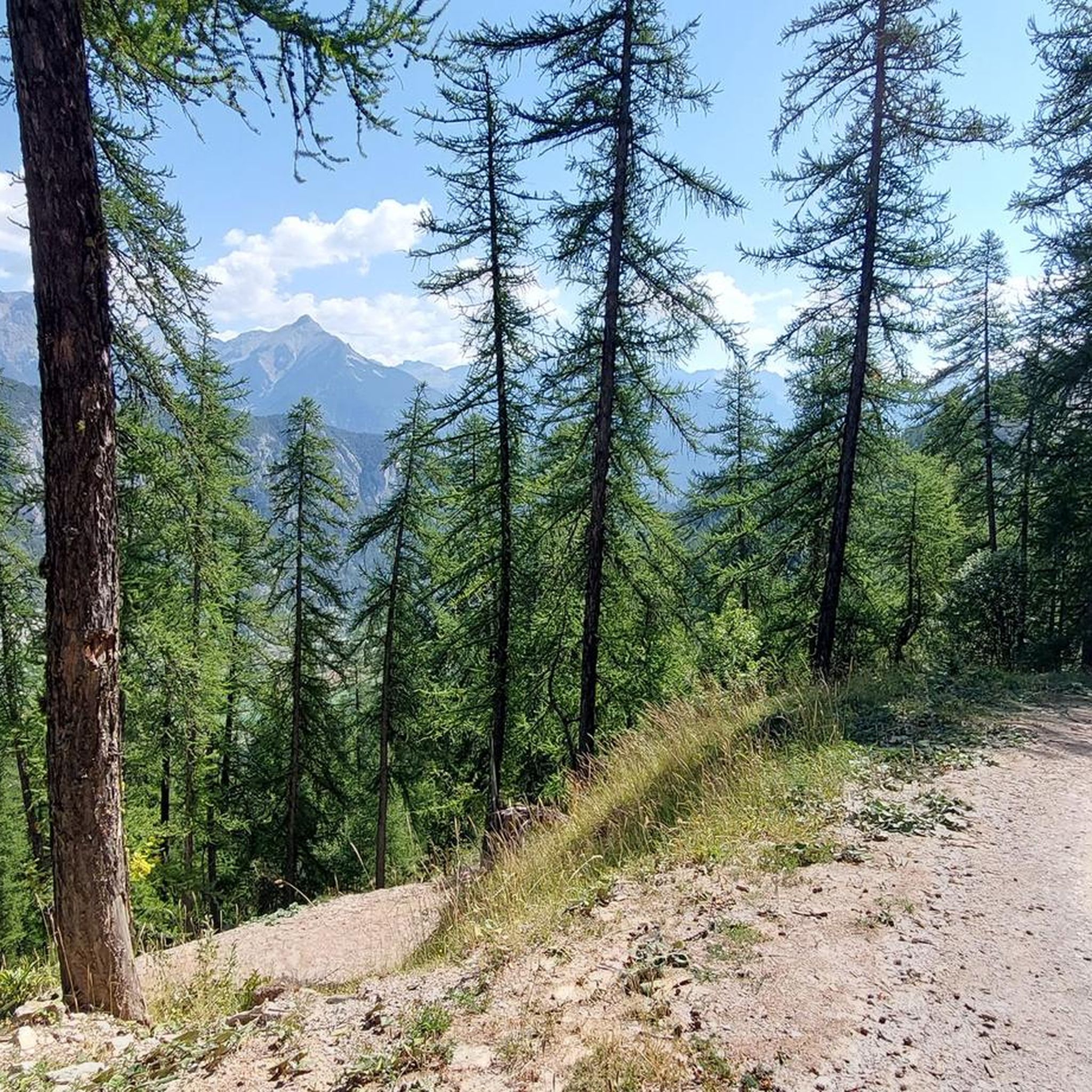
Touring cycling routes around Freissinières are set within a glacial valley in the Ecrins National Park, characterized by elevations ranging from 1,100 m to 2,700 m at the Col de Freissinières. The landscape features extensive larch forests, numerous waterfalls, and the Biaysse river flowing through the 20 km long suspended valley. High-altitude lakes such as Palluel, Faravel, and Fangeas add to the diverse terrain, providing varied cycling experiences from valley floors to mountain roads.
Best touring cycling routes around Freissinières
…Last updated: May 20, 2026
108
riders
60.7km
04:39
1,560m
1,560m
Hard bike ride. Very good fitness required. Mostly paved surfaces. Suitable for all skill levels.
36
riders
37.7km
02:41
740m
740m
Hard bike ride. Very good fitness required. Mostly paved surfaces. Suitable for all skill levels.

Sign up for free
19
riders
Easy bike ride. Great for any fitness level. Mostly paved surfaces. Suitable for all skill levels.
3.0
(1)
19
riders
27.0km
03:01
930m
930m
Hard bike ride. Very good fitness required. Mostly paved surfaces. Suitable for all skill levels.
16
riders
44.5km
03:02
760m
760m
Hard bike ride. Very good fitness required. Mostly paved surfaces. Suitable for all skill levels.
Get access to more routes and recommendations from other explorers.
Sign up for free
Already have an account?
Our route recommendations are based on thousands of hikes, rides, and runs completed by other people on komoot.
Start today with a free account
Your next adventure awaits.
Login or Signup

Other adventures around Freissinières

Tips from the Community

Once you reach the top of this long climb you can enjoy the beauty of Risoul and its landscapes.
4
0

In addition to picnic tables and a green area, there is water, power outlets and a roof
1
0
In addition to picnic tables and a green area, there is water, power outlets and a roof
0
0

From 1910 to 1988, L'Argentière-la-Bessée lived to the rhythm of its aluminum factory, which made this valley, once almost deserted, the largest industrial center in the Hautes-Alpes department. Beautiful photos to discover!
0
0

Located in Argentière-la-Bessée, the Hermes clock tower, built between 1920 and 1922, overlooks the town from its rock. Nicknamed "the bosses' clock", it testifies to a municipal initiative against the metallurgical factories. A dated bench invites you to admire the view. Nearby, the Via Ferrata offers a getaway. Although not currently open to visitors, the hope of opening during heritage days persists.
0
0

Small wooden footbridge that allows you to cross the blue waters of the Guil and join the road to Saint-Guillaume, towards Mont Dauphin.
1
0

Risoul is a small ski resort between the national parks of Queyras and Ecrins. Together with Vars, it forms the Forêt Blanche ski resort. The city offers breathtaking views of the valleys and mountains that surround it.
0
0

Appreciated since Roman times, the sources of the Plan de Phazy will have to wait until the 19th century for the composition of the water to be analyzed. Loaded with minerals, especially calcium and magnesium, this water is recommended as a drink or as a bath to soothe skin diseases, liver or kidney problems and rheumatism. Benefiting from a dry and sunny climate, the Plan de Phazy and its Rotonde became a small spa resort from 1824 to 1935, when an earthquake brought all activity to a halt. The source now flows into four outdoor pools that allow everyone to enjoy the benefits of this water at 26 ° C.
1
1
Frequently Asked Questions
How many touring cycling routes are available around Freissinières?
There are over 130 touring cycling routes in the Freissinières area, offering a wide range of options for different skill levels. You'll find everything from easy valley rides to challenging mountain passes.
What is the best time of year to go touring cycling in Freissinières?
The warmer months are generally the best for touring cycling in Freissinières. While the valley is known for ice climbing in winter, spring, summer, and autumn offer ideal conditions to explore the diverse terrain, from larch forests to high-altitude lakes, without snow and ice.
Are there any easy touring cycling routes suitable for beginners or families?
Yes, Freissinières offers about 10 easy touring cycling routes. For a relatively flat and accessible option, consider the La Druance in La Roche-de-Rame – Cinéma Le Petit Vite loop from La Roche-de-Rame, which covers 13.1 km with minimal elevation gain.
What kind of challenging routes can I find for touring cycling in the region?
For experienced touring cyclists, Freissinières and its surroundings offer numerous difficult routes, with over 80 options available. These often include significant elevation gains and high-altitude passes. A challenging option is the Lac Napoléon – Col de Vars (2,109 m) loop from Champcella, a 70.3 km path traversing high-altitude passes and scenic lake areas.
Can I find routes that feature waterfalls in the Freissinières area?
Absolutely! The Freissinières valley is known for its numerous waterfalls. While cycling, you can often spot them striping the cliffs. Some notable waterfalls you might want to explore include Pissette Falls, Cascade de la Pisse, and Byasse Waterfall.
Are there any unique hamlets or villages accessible by bike in the Freissinières valley?
Yes, the Ecrins National Park is home to unique hamlets. While not directly accessible by bike, you can cycle to trailheads that lead to places like Dormillouse, a unique hamlet perched at around 1,700 m. It's the only permanently inhabited village within the Ecrins National Park and is accessible solely on foot, offering a profound immersion into local heritage.
What do other touring cyclists say about the routes in Freissinières?
The touring cycling routes around Freissinières are highly rated by the komoot community, with an average score of 4.5 stars from over 290 reviews. Cyclists often praise the preserved natural environment, dramatic scenery, and the diverse terrain that caters to various cycling preferences.
Are there any long-distance touring cycling routes near Freissinières?
Freissinières is part of the broader Durance valley, which features a well-marked cycle touring route extending from the high Alps down to Provence. This route utilizes small back roads and cycle lanes, offering a long-distance journey through varied landscapes, from mountainous gorges to orchards further south.
Are there specific regulations for cycling within the Ecrins National Park?
As Freissinières is nestled within the Ecrins National Park, it's important to be aware of park regulations. Generally, cycling is permitted on designated roads and tracks. Always stay on marked paths, respect wildlife, and practice Leave No Trace principles to preserve the pristine environment.
Can I find routes that offer panoramic views of the Ecrins ridges?
Many routes in the Freissinières valley offer stunning panoramic views. The valley itself provides views of the Ecrins ridges, and routes that climb higher, such as the Le Guil – Risoul loop from Champcella, will reward you with breathtaking mountain vistas after challenging climbs.
Are there any gravel cycling options in the Freissinières area?
Yes, the diverse terrain around Freissinières is suitable for gravel cycling. An example is the Gravel in the Vallouise valley – Vallouise loop from La Roche-de-Rame, a 35.3 km trail leading through varied valley terrain, perfect for those who enjoy off-road adventures.
Most popular routes around Freissinières
Most popular attractions around Freissinières

Get inspired with the komoot mobile app


Explore more
Browse the best Cycling routes in other regions.
