The best walks and hikes around Freissinières
4.6
(441)
3,701
hikers
41
hikes
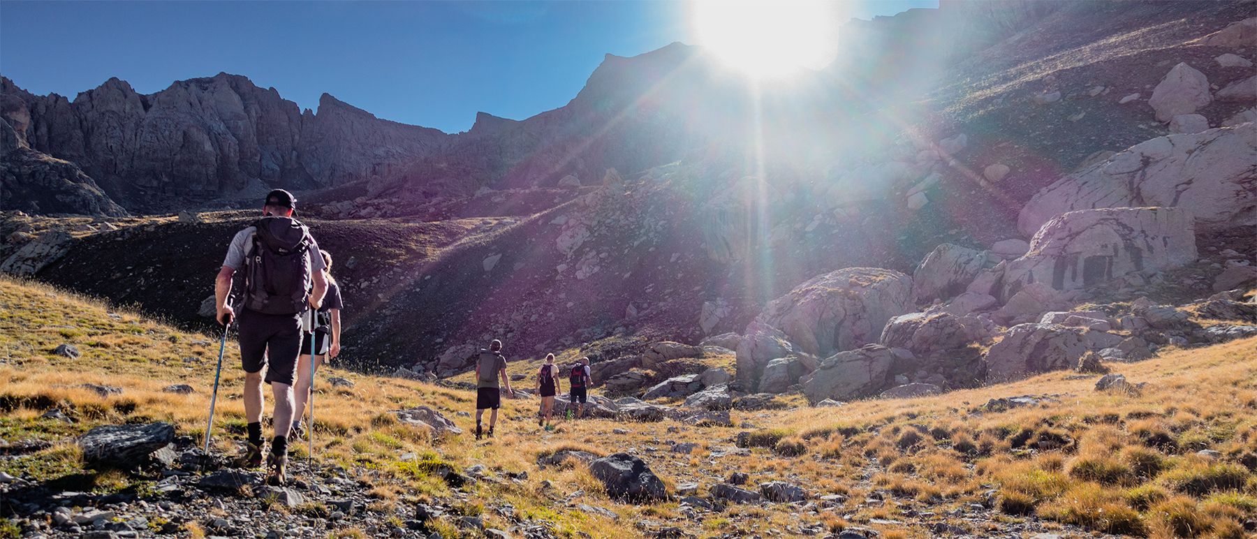
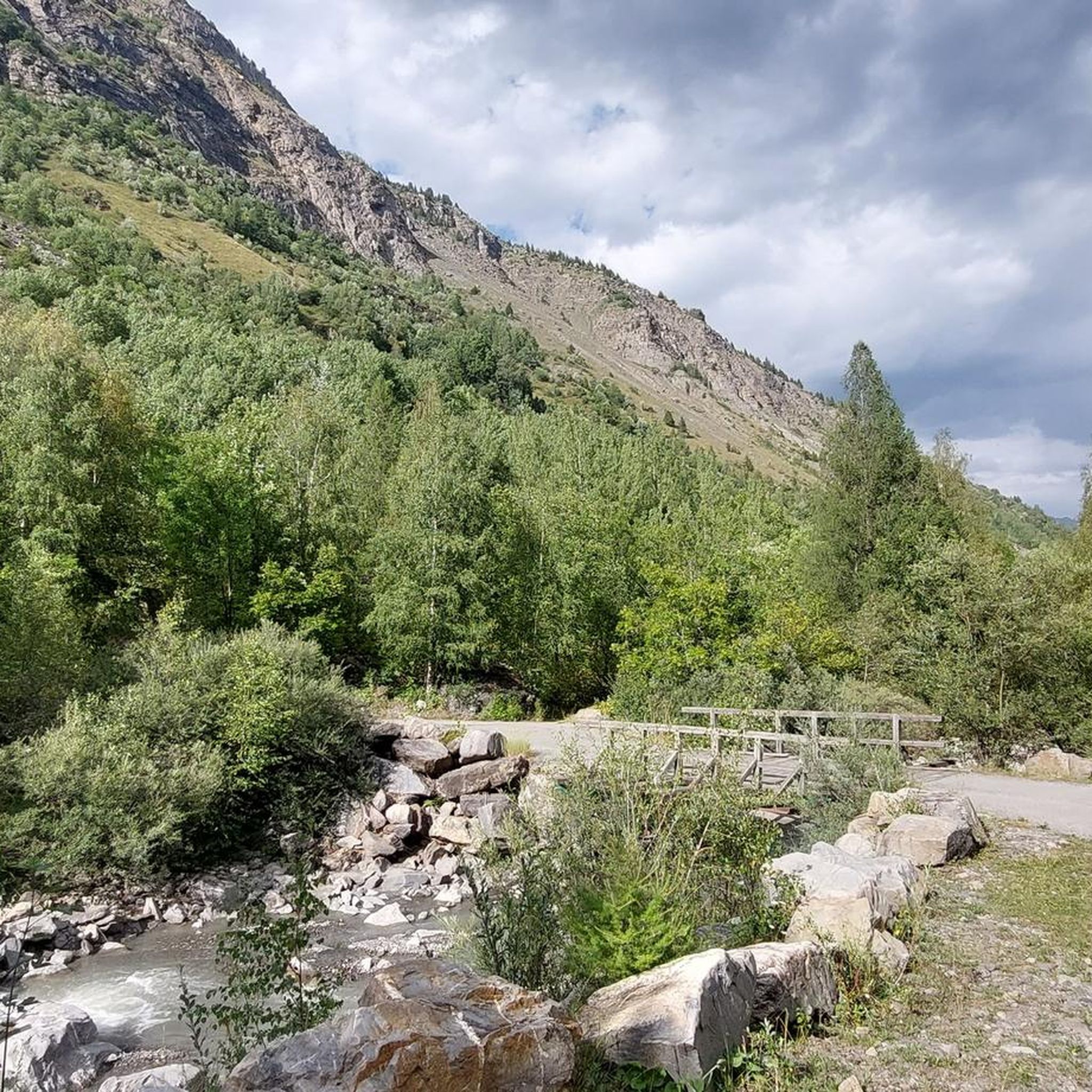
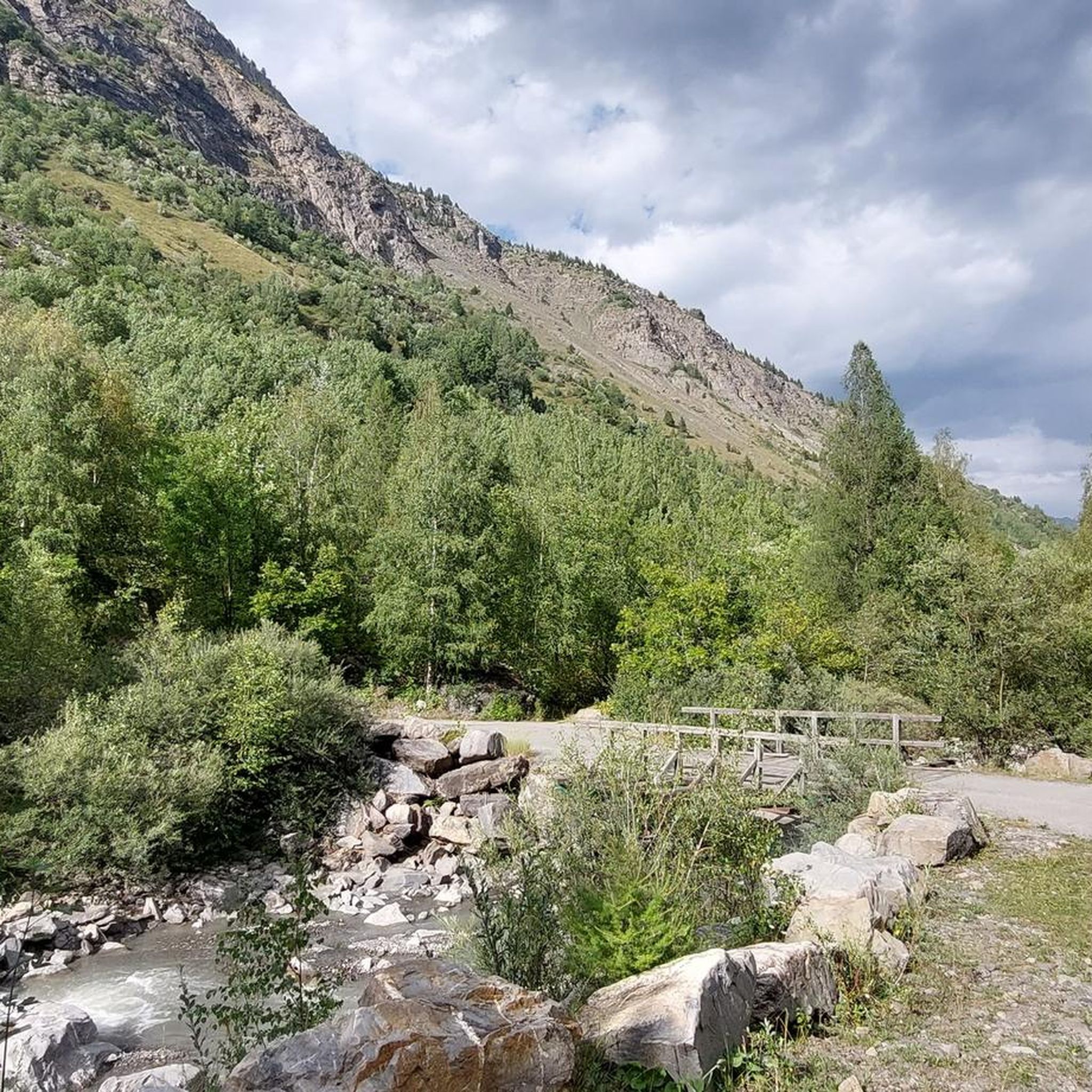
Hiking around Freissinières offers access to a suspended valley within the Écrins National Park, characterized by elevations ranging from 1,180 to 1,780 meters, encircled by ridges reaching up to 3,200 meters. The landscape features diverse terrain, including larch forests, alpine prairies, moraines, and cliffs, carved by the Biaysse river. Numerous waterfalls and high-altitude lakes, such as Lac Fangeas and Lac Palluel, are prominent natural features throughout the region.
Best hiking trails around Freissinières
- The most popular hiking route is Lake…
Last updated: June 25, 2026
5.0
(37)
430
hikers
13.4km
06:15
1,020m
1,020m
Hard hike. Very good fitness required. Mostly accessible paths. Sure-footedness required.
4.6
(18)
100
hikers
5.31km
01:55
330m
330m
Moderate hike. Good fitness required. Easily-accessible paths. Suitable for all skill levels.

Sign up for free
4.5
(15)
101
hikers
8.70km
03:24
530m
530m
Moderate hike. Good fitness required. Mostly accessible paths. Sure-footedness required.
4.6
(9)
117
hikers
6.36km
03:05
530m
530m
Moderate hike. Good fitness required. Mostly accessible paths. Sure-footedness required.
5.0
(25)
291
hikers
21.5km
08:36
1,150m
1,150m
Hard hike. Very good fitness required. Mostly accessible paths. Sure-footedness required.
Get access to more routes and recommendations from other explorers.
Sign up for free
Already have an account?
Our route recommendations are based on thousands of hikes, rides, and runs completed by other people on komoot.
Start today with a free account
Your next adventure awaits.
Login or Signup
Popular around Freissinières

Other adventures around Freissinières

Tips from the Community

Informative signs tell the story of life in days gone by.
0
0

Pleasant lake in a beautiful setting in the heart of the Parc National des Ecrins, near Dormillouse.
0
0
At the end of the summer there is little left of the mountain lake, but shortly after winter (as soon as the paths are passable again) the lake is full of meltwater.
0
0
Above the mountain village of Dormillouse is the mountain lake Lac Paluel. Further on is another lake: Lac Faravel.
0
0
While you walk on the Crête de la Rortie you look out at beautiful steep rock formations.
0
0
Beautiful views from the bench on the Crête de la Rortie.
0
0
On the way to Dormillouse you pass several waterfalls. Search the smallest paths to waterfalls from where you can see the clatter on the stones even better.
0
0
Dormillouse a mountain village located in the Ecrins Mountains. Very remote and only accessible on foot. The village has only a handful of inhabitants and is surrounded by beautiful nature. Gite has been built in the old school and, in addition to good food, also sleeping.
0
0
Frequently Asked Questions
What kind of terrain can I expect when hiking in Freissinières?
Freissinières is characterized by a suspended valley carved by the Biaysse river, with elevations ranging from 1,180 to 1,780 meters, surrounded by ridges up to 3,200 meters. You'll traverse diverse landscapes including larch forests, alpine prairies, moraines, and cliffs. The region is also known for its numerous waterfalls and high-altitude lakes.
Are there hiking trails suitable for families with children?
Yes, Freissinières offers a network of trails catering to various levels. While specific 'family-friendly' routes aren't detailed, the overall network includes options from moderate walks to challenging alpine ascents, suggesting there are easier paths suitable for families. For example, the walk to The hamlet of Dormillouse is a moderate 3.3-mile path that offers a unique cultural experience.
What natural attractions or points of interest can I see along the trails?
Freissinières is rich in natural beauty. You can explore stunning high-altitude lakes like Lac des Sirènes, Lac Fangeas, Lac Faravel, and Lac Palluel. The region is also famous for its numerous waterfalls, such as Pissette Falls and Cascade de la Pisse. Keep an eye out for diverse wildlife like roe deer and ibex at higher altitudes.
Are there any circular hiking routes in Freissinières?
Yes, there are circular routes available. For instance, the challenging Byasse Waterfall – Lake Palluel loop from Parking d'hiver is a difficult 21.5 km trail that forms a loop, offering varied scenery including waterfalls and lakes.
What is the best time of year to go hiking in Freissinières?
The best time for hiking typically depends on the specific trail and your preferences. The region offers diverse terrain, from forests to alpine areas. While summer provides access to high-altitude lakes, winter transforms the area into a Nordic paradise for snowshoeing and ski touring, suggesting year-round opportunities depending on the activity.
Are dogs allowed on the hiking trails in Freissinières?
Freissinières is located within the Écrins National Park. Generally, in the core zone of French national parks, dogs are not permitted, even on a leash, to protect wildlife. However, they might be allowed in the peripheral zones or on specific designated paths. It's always best to check local regulations for the specific trail you plan to hike.
What are the difficulty levels of hikes available in Freissinières?
The hiking network in Freissinières caters to a wide range of abilities. You can find everything from moderate walks, such as the path to Lake Fangeas, to more demanding routes like the grand tour of Freissinières or the challenging Lake Palluel to Lake Faravel trail.
Where can I park my car for hiking trails in Freissinières?
Parking is available at various starting points for trails. For example, the isolated hamlet of Dormillouse is accessible solely on foot, typically a 45-minute to 1-hour walk from the Cascades car park. For the Byasse Waterfall – Lake Palluel loop, parking is available at 'Parking d'hiver'.
What do other hikers enjoy most about hiking in Freissinières?
The area is highly rated by the komoot community, with an average score of 4.5 stars from over 400 reviews. Reviewers often praise the diverse landscapes, including larch forests and alpine terrain, the numerous waterfalls, and the stunning high-altitude lakes. The sense of isolation and connection with nature is also frequently highlighted.
Are there any historical sites to explore while hiking?
Yes, for those interested in history, the Grotte des Vaudois (Waldensians' Cave) is a significant site linked to a religious group who sought refuge in the valley during the 13th century. The isolated hamlet of Dormillouse also offers an immersion into a timeless setting with traditional architecture.
Are there any huts or refuges available along the trails for overnight stays?
Yes, Freissinières and its surroundings offer several huts and refuges. Notable options include the Dormillouse - School guesthouse, Refuge des Bans, and Grands Plans Hut. These provide opportunities for breaks or bivouacking under the stars, especially near high-altitude lakes.
How many hiking trails are available in Freissinières?
There are over 40 hiking trails available in Freissinières, offering a wide variety of options for different skill levels and preferences. This includes 8 easy routes, 20 moderate routes, and 15 difficult routes.
Most popular routes around Freissinières
Most popular attractions around Freissinières

Get inspired with the komoot mobile app


Explore more
Browse the best Hikes in other regions.
