The best MTB trails around Villeneuve-Lès-Béziers
4.4
(1028)
4,169
riders
255
rides
Mountain bike trails around Villeneuve-Lès-Béziers traverse a diverse landscape shaped by the Canal du Midi, agricultural lands, and vineyards. The region features flat paths along the canal, offering extensive cycling opportunities, alongside routes that venture into forests and rural areas. The proximity of the Orb river and its wetlands adds to the natural features, providing varied terrain for mountain biking. This area offers a mix of easy, moderate, and difficult trails suitable for different skill levels.
Best mountain bike trails…
Last updated: August 28, 2026
4.4
(30)
91
riders
33.1km
01:54
30m
30m
Easy mountain bike ride. Great for any fitness level. Suitable for all skill levels.
4.5
(11)
77
riders
48.2km
03:03
320m
320m
Moderate mountain bike ride. Good fitness required. Suitable for all skill levels.

Sign up for free
4.2
(10)
66
riders
35.7km
02:11
130m
130m
Moderate mountain bike ride. Good fitness required. Suitable for all skill levels.
4.3
(4)
44
riders
40.5km
02:10
150m
150m
Moderate mountain bike ride. Good fitness required. Suitable for all skill levels.
4.0
(3)
24
riders
14.4km
00:47
50m
50m
Easy mountain bike ride. Great for any fitness level. Suitable for all skill levels.
Get access to more routes and recommendations from other explorers.
Sign up for free
Already have an account?
Our route recommendations are based on thousands of hikes, rides, and runs completed by other people on komoot.
Start today with a free account
Your next adventure awaits.
Login or Signup

Tips from the Community

🌿 View of historic Portiragnes From the Canal du Midi, you have a really beautiful view of Portiragnes with the distinctive Église Saint-Félix, which towers over the rooftops of the old town center. 🇫🇷 And the small town has surprisingly much history to offer: The area around Portiragnes was already settled in the Neolithic period, around 7,700 years ago. Later, the Romans also left their mark before the present-day town center developed in the Middle Ages. The Église Saint-Félix is particularly worth seeing. Its origins probably date back to the 12th century, with essential parts of the current church building dating from the 14th century. Since 1932, it has been protected as a historic monument (Monument historique). A beautiful photo stop on the Canal du Midi – with reeds and water in the foreground and a village in the background whose history dates back several millennia. 📸🚲 Greetings Marcus ✌🏼
1
0
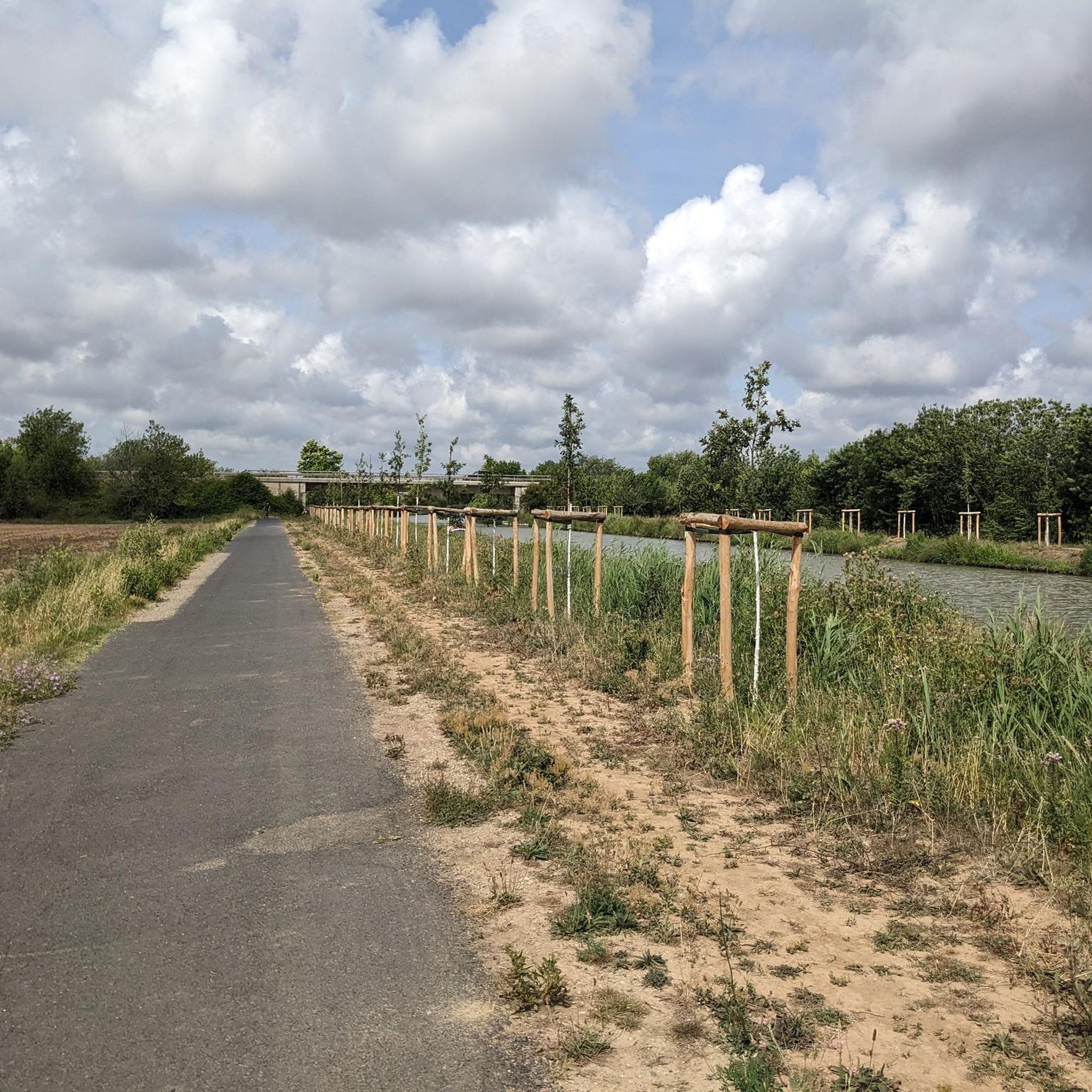
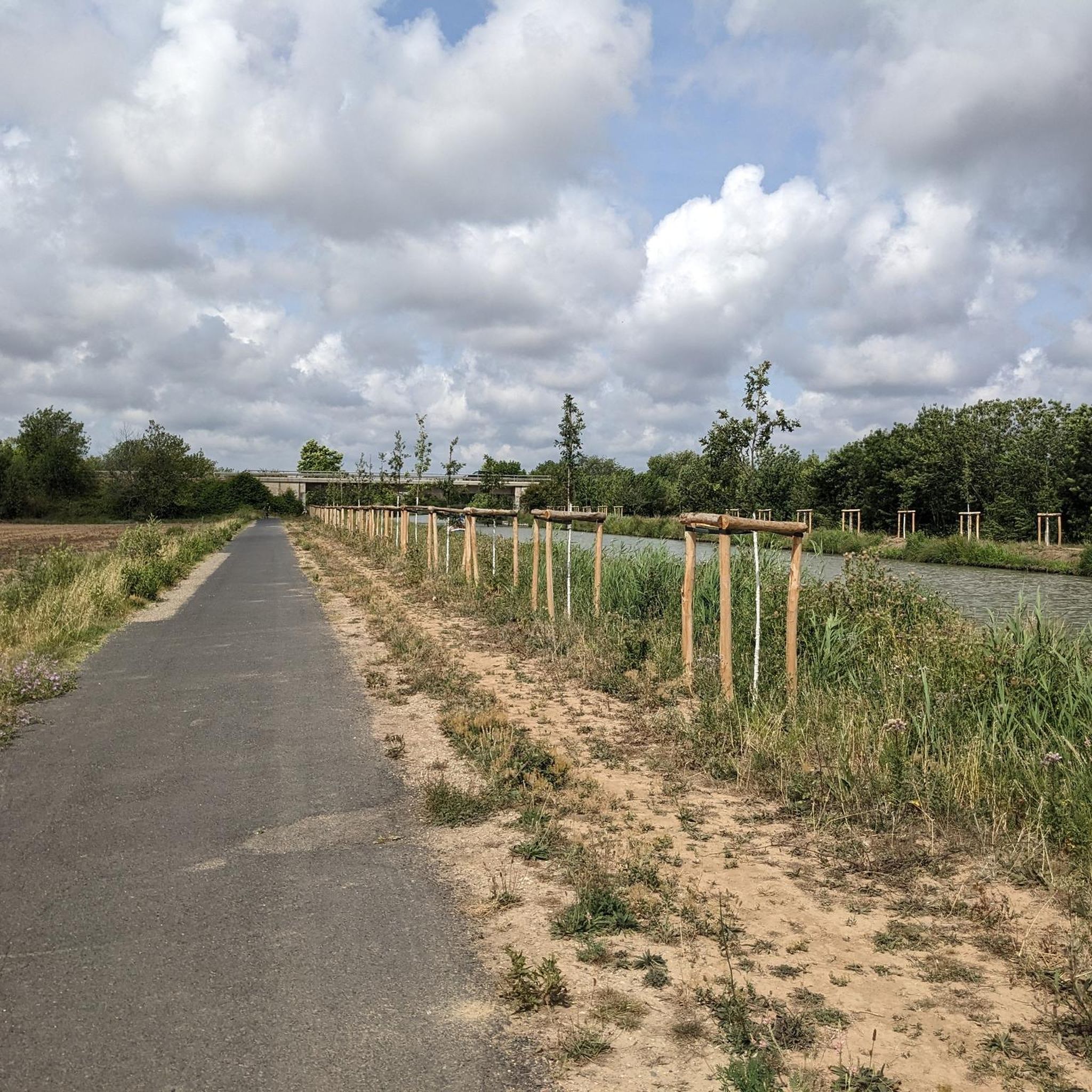
🌿 View of Portiragnes on the Canal du Midi A beautiful view from the Canal du Midi of Portiragnes. 🇫🇷 In the background, the church towers over the roofs of the town, while in front, reeds, water, and the typical landscape along the canal stretch out. The cycle path leads here relaxed directly along the Canal du Midi and repeatedly offers beautiful perspectives of Portiragnes – a quiet section where a short photo stop is definitely worthwhile. 📸🚲 Greetings Marcus ✌🏼
0
0
🍺 Stop directly on the Canal du Midi A really nice place for a break near Portiragnes. Located directly on the Canal du Midi, cozy atmosphere with a large outdoor terrace and pleasantly uncomplicated. 🌳☀️ The menu offers quite a bit – from salads and burgers to meat and fish from Agde. Plus a decent selection of beer, wine, and cocktails. 🍺🍷 Perfect for stopping off during a bike or hiking tour, having something to eat, or simply stretching your legs with a cool blonde beer. 😎👌🏼 For us, it has become a tried-and-tested stop that we always like to return to. Clear recommendation for a relaxed break on the Canal du Midi. 🚲 Greetings Marcus
1
0

The Canal du Midi, formerly the Royal Canal, is a 17th-century technical feat designed by Pierre-Paul Riquet to connect the Atlantic to the Mediterranean. Today, it is above all a place for relaxation and discovery, where heritage, nature, and conviviality meet.
0
0
At the place called « Le Malpas » (bad passage in Occitan), the Canal du Midi crosses a hill separating the valleys of the Aude and the Orb. The importance of the relief led Pierre-Paul Riquet to dig a 160 m long tunnel for the canal to pass through. It is the oldest navigation tunnel in Europe. Carried out in 1679-1680, this construction site is one of the most emblematic of Riquet's undertaking.
0
0
The Canal du Midi, formerly the Royal Canal, is a 17th-century technical feat designed by Pierre-Paul Riquet to connect the Atlantic to the Mediterranean. Today, it is above all a place for relaxation and discovery, where heritage, nature, and conviviality meet.
0
0
In the heart of the Grand site d'Occitanie, Colombiers invites you for a peaceful stopover on the banks of the Canal du Midi, at its charming bucolic river port.
0
0
The Canal du Midi, formerly Canal Royal, is a 17th-century technical feat designed by Pierre-Paul Riquet to connect the Atlantic to the Mediterranean. Today, it is above all a place for relaxation and discovery, where heritage, nature, and conviviality blend together.
0
0
Frequently Asked Questions
How many mountain bike trails are available around Villeneuve-lès-Béziers?
There are over 245 mountain bike trails around Villeneuve-lès-Béziers. These routes are highly rated by the komoot community, with an average score of 4.3 stars from over 1200 reviews.
What kind of terrain can I expect on mountain bike trails in Villeneuve-lès-Béziers?
The terrain around Villeneuve-lès-Béziers is diverse, ranging from flat paths along the historic Canal du Midi to routes that venture into vineyards, agricultural lands, and rural areas. The proximity to the Orb river and its wetlands also adds varied natural features. The region is generally flat to moderately hilly, making it accessible for different skill levels.
Are there mountain bike trails suitable for beginners in Villeneuve-lès-Béziers?
Yes, there are many options for beginners. Over 110 easy mountain bike trails are available. A great example is the Villeneuve lock – Canal du Midi loop from Villeneuve-lès-Béziers, an easy 19.1-mile (30.7 km) path offering flat riding along the historic Canal du Midi.
Are there more challenging mountain bike trails for experienced riders?
While the area is generally accessible, there are 12 difficult mountain bike trails for experienced riders. For instance, the Canal du Midi – Orb Canal Bridge loop from Stade Raoul Barrière is a challenging 52.8-mile (84.9 km) route. Additionally, the broader Hérault region, particularly areas like the Cévennes, offers more intense trails for advanced mountain biking.
What interesting sights can I see while mountain biking in Villeneuve-lès-Béziers?
Many routes follow the scenic Canal du Midi, a UNESCO World Heritage site. You can also pass by the Portiragnes lock and the impressive Orb Canal Bridge (Pont-canal de l'Orb). The region's diverse landscapes include vineyards and natural areas of ecological interest.
Are there family-friendly mountain bike routes in Villeneuve-lès-Béziers?
Absolutely. The flat and well-maintained towpaths along the Canal du Midi are ideal for families. Many easy routes, such as the Canal du Midi at Cers – Nature Trail by the Wetlands loop from Cers, are perfect for a relaxed family outing.
What is the best time of year for mountain biking in Villeneuve-lès-Béziers?
The region benefits from a Mediterranean climate. Spring and autumn generally offer the most pleasant conditions for mountain biking, with milder temperatures. While summer is popular, it can be quite warm, so early morning or late afternoon rides are recommended during this season.
Can I find routes that follow the Canal du Midi?
Yes, the Canal du Midi is a central feature of mountain biking in the area. Many routes utilize its extensive towpaths, which are popular for cycling and include sections of gravel and dirt suitable for mountain bikes. The Canal du Midi – Villeneuve lock loop from Cers is a great example, leading through the Canal du Midi landscape.
Are there any loop mountain bike trails in the area?
Yes, many mountain bike trails in Villeneuve-lès-Béziers are designed as loops, allowing you to start and finish at the same point. Examples include the Villeneuve lock – Canal du Midi loop from Cers and the Canal du Midi at Cers – Nature Trail by the Wetlands loop from Cers.
What do other mountain bikers enjoy about the trails in Villeneuve-lès-Béziers?
The area is highly rated by the komoot community, with an average score of 4.3 stars. Mountain bikers often praise the scenic beauty of the Canal du Midi, the tranquil environment, and the variety of routes that cater to different skill levels, from easy family rides to more challenging loops through diverse landscapes.
Most popular routes around Villeneuve-Lès-Béziers
Most popular attractions around Villeneuve-Lès-Béziers

Get inspired with the komoot mobile app


Explore more
Browse the best MTB trails in other regions.
