The best walks and hikes around Villeneuve-Lès-Béziers
4.4
(826)
6,036
hikers
280
hikes
Hiking trails around Villeneuve-Lès-Béziers offer diverse landscapes, from the historic Canal du Midi to extensive vineyards and the coastal River Orb. The region is situated between the countryside and the Mediterranean Sea, providing varied environments for exploration. Trails often traverse scenic wine-producing areas and follow the shaded towpaths of the Canal du Midi. The area also features fertile wetlands and is recognized for its natural heritage, including a Natura 2000 site.
Best hiking trails around Villeneuve-Lès-Béziers
- The most popular hiking route is Canal du Midi – Viewing platform loop from Portiragnes, an 8.7 miles (14.0 km) moderate trail that takes 3 hours 31 minutes to complete, offering views along the historic waterway.
- Another top favourite among local hikers is Portiragnes Lock – 𝗙𝗘𝗦𝗧𝗜𝗩𝗔𝗟 𝗗𝗨 𝗩𝗘𝗡𝗧 𝟮𝟬𝟮𝟱 loop from Portiragnes, a moderate 6.5 miles (10.5 km) path that explores the Canal du Midi near Portiragnes Lock.
- Local hikers also love the Canal du Midi at Cers – Canal du Midi loop from Villeneuve-lès-Béziers, a 6.4 miles (10.2 km) trail leading through the Canal du Midi landscape, often completed in about 2 hours 35 minutes.
- Hiking around Villeneuve-Lès-Béziers is defined by canal-side paths, vineyard trails, and proximity to the Mediterranean coast. The network offers options for easy strolls, moderate excursions, and a few more challenging routes.
- The routes in Villeneuve-Lès-Béziers are highly rated by the komoot community with an average score of 4.4 stars from over 600 reviews. More than 5000 hikers have used komoot to explore Villeneuve-Lès-Béziers's varied terrain.
Last updated: August 28, 2026
4.7
(23)
141
hikers
13.5km
03:24
10m
10m
Moderate hike. Good fitness required. Easily-accessible paths. Suitable for all skill levels.
3.8
(4)
34
hikers
Moderate hike. Good fitness required. Easily-accessible paths. Suitable for all skill levels.

Sign up for free
3.0
(2)
27
hikers
10.2km
02:35
20m
20m
Moderate hike. Good fitness required. Easily-accessible paths. Suitable for all skill levels.
4.5
(6)
17
hikers
Moderate hike. Good fitness required. Easily-accessible paths. Suitable for all skill levels.
17
hikers
4.57km
01:09
10m
10m
Easy hike. Great for any fitness level. Easily-accessible paths. Suitable for all skill levels.
Get access to more routes and recommendations from other explorers.
Sign up for free
Already have an account?
Our route recommendations are based on thousands of hikes, rides, and runs completed by other people on komoot.
Start today with a free account
Your next adventure awaits.
Login or Signup

Tips from the Community

🌿 View of historic Portiragnes From the Canal du Midi, you have a really beautiful view of Portiragnes with the distinctive Église Saint-Félix, which towers over the rooftops of the old town center. 🇫🇷 And the small town has surprisingly much history to offer: The area around Portiragnes was already settled in the Neolithic period, around 7,700 years ago. Later, the Romans also left their mark before the present-day town center developed in the Middle Ages. The Église Saint-Félix is particularly worth seeing. Its origins probably date back to the 12th century, with essential parts of the current church building dating from the 14th century. Since 1932, it has been protected as a historic monument (Monument historique). A beautiful photo stop on the Canal du Midi – with reeds and water in the foreground and a village in the background whose history dates back several millennia. 📸🚲 Greetings Marcus ✌🏼
1
0
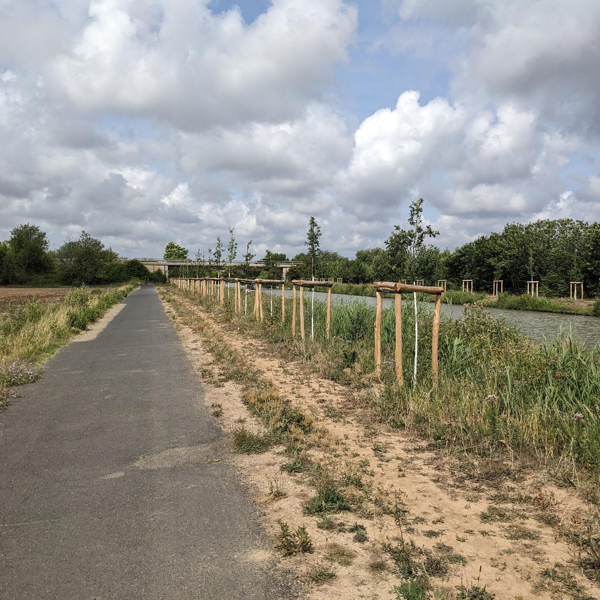
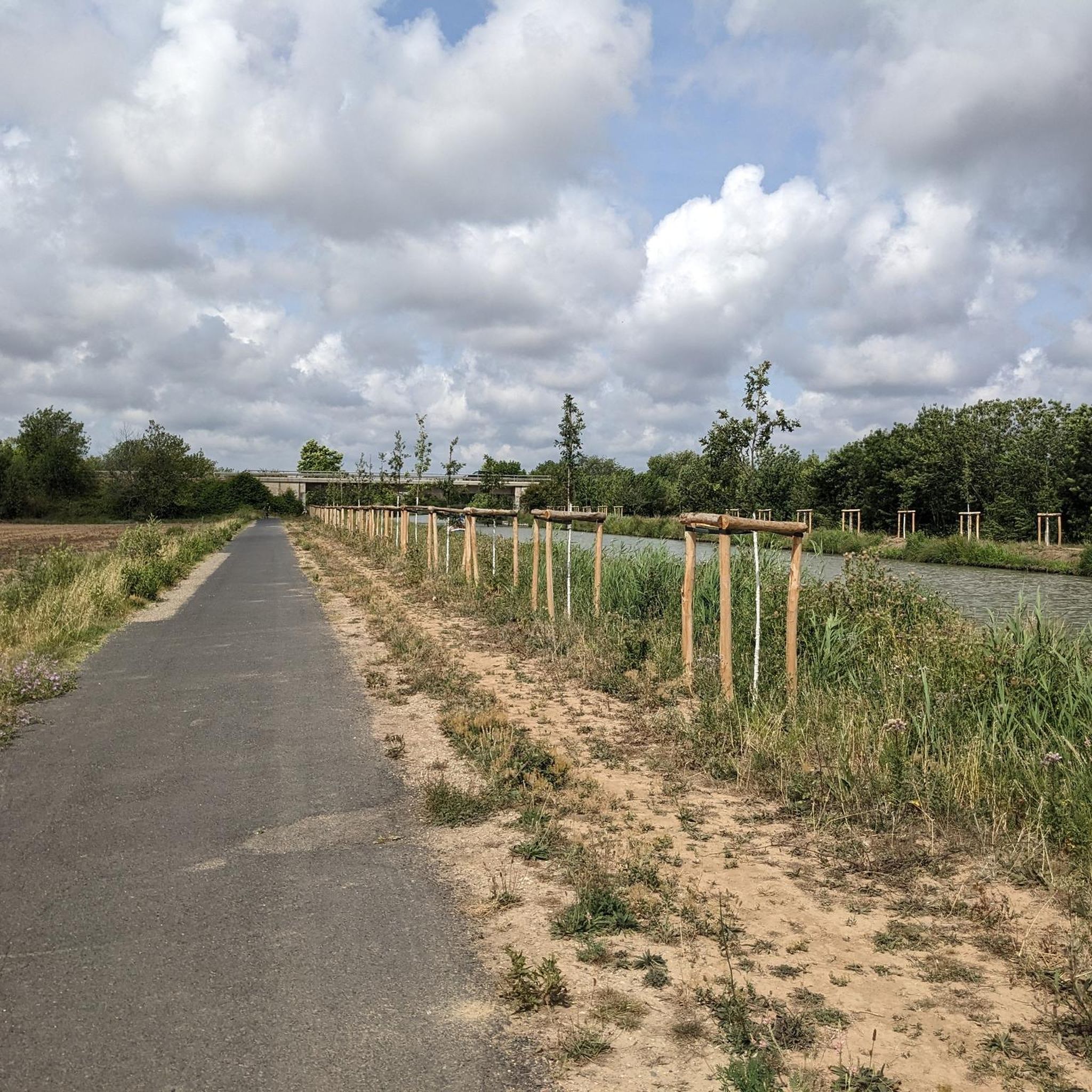
🌿 View of Portiragnes on the Canal du Midi A beautiful view from the Canal du Midi of Portiragnes. 🇫🇷 In the background, the church towers over the roofs of the town, while in front, reeds, water, and the typical landscape along the canal stretch out. The cycle path leads here relaxed directly along the Canal du Midi and repeatedly offers beautiful perspectives of Portiragnes – a quiet section where a short photo stop is definitely worthwhile. 📸🚲 Greetings Marcus ✌🏼
0
0

It is located in the commune of Villeneuve-lès-Béziers in the department of Hérault in the Occitanie region.
0
0
The lock made of wood during the construction of the Canal du Midi was subsequently renovated to have a metal structure like all the other locks on the Canal Royal des Deux Mers.
0
0
The single lock at Portiragnes opens onto the Agde reach downstream. This is a typical area of the landscape of the Languedoc coastal strip. Indeed, from this lock, the canal's surface is at an altitude of only 1 meter above sea level. It runs alongside wetlands of former salt ponds (la grande Maïre), where a rich fauna and flora are encountered (bulls, horses, waders, amphibians, reeds...) and some pine forests. These places are conducive to the establishment of numerous campsites.
1
0
The Canal du Midi, formerly the Royal Canal, is a 17th-century technical feat designed by Pierre-Paul Riquet to connect the Atlantic to the Mediterranean. Today, it is mainly a place for relaxation and discovery, where heritage, nature, and conviviality blend together.
0
0
You can observe a fine example of these spillways 1 km downstream from the Portiragnes lock. Built on the right bank, on the towpath side, these spillways are for some surmounted by arcades allowing the dry passage of the horse teams that towed the boats until the beginning of the 20th century.
0
0
The single lock at Portiragnes opens onto the Agde reach downstream. This is a typical area of the landscapes of the Languedoc coastal strip. Indeed, from this lock, the canal surface is at an altitude of only 1 meter above sea level. It runs along wetlands of former salt ponds (la grande Maïre), where one encounters rich fauna and flora (bulls, horses, waders, amphibians, reeds...) and some pine groves. These places are conducive to the establishment of numerous campsites.
0
0
Frequently Asked Questions
How many hiking trails are available around Villeneuve-lès-Béziers?
There are over 290 hiking routes around Villeneuve-lès-Béziers, catering to various preferences. This includes approximately 175 easy trails for relaxed strolls and 115 moderate excursions for those seeking a bit more challenge.
What kind of landscapes can I expect to see while hiking in Villeneuve-lès-Béziers?
Hiking around Villeneuve-lès-Béziers offers a diverse range of landscapes. You'll find trails along the historic Canal du Midi, through picturesque vineyards, and beside the coastal Orb River. The region also features fertile wetlands and is close to the Mediterranean Sea, providing varied environments for exploration.
Are there any easy or family-friendly hiking options?
Yes, Villeneuve-lès-Béziers has many easy and family-friendly options. Over 175 routes are classified as easy. A good example is the Canal du Midi – Villeneuve lock loop from Cers, which is an easy 4.6 km path perfect for a relaxed outing.
Can I find circular hiking routes in the area?
Absolutely. Many trails around Villeneuve-lès-Béziers are circular, allowing you to start and end at the same point. A popular moderate circular route is the Canal du Midi – Viewing platform loop from Portiragnes, which covers 14 km and offers scenic views along the historic waterway.
What are some notable landmarks or points of interest I can see on a hike?
The region is rich in natural and historical sights. You can explore the UNESCO World Heritage site of the Canal du Midi, including the Portiragnes lock and the impressive Orb Canal Bridge (Pont-canal de l'Orb). Many trails also offer views of the vast vineyards and the Orb River valley.
Are there dog-friendly trails around Villeneuve-lès-Béziers?
Yes, many of the trails, especially those along the Canal du Midi and through the vineyards, are suitable for walking with dogs. It's always a good idea to keep your dog on a leash, especially near wildlife or agricultural areas, and to carry water for both of you.
What do other hikers enjoy most about the trails in Villeneuve-lès-Béziers?
The hiking trails in Villeneuve-lès-Béziers are highly rated by the komoot community, with an average score of 4.4 stars from over 600 reviews. Hikers often praise the peaceful canal-side paths, the beauty of the vineyard landscapes, and the accessibility of routes for various fitness levels.
Are there any trails that offer views of Béziers?
Yes, you can find routes that provide views of the nearby city of Béziers. For instance, the moderate View of Pont Vieux, Béziers – View of Pont vieux loop from Villeneuve-lès-Béziers is a 15 km trail that offers perspectives of the historic Pont Vieux.
What is the best time of year to go hiking in Villeneuve-lès-Béziers?
Spring and autumn are generally the best times for hiking in Villeneuve-lès-Béziers. The weather is milder, and the landscapes are particularly beautiful, with blooming flowers in spring and vibrant colors in autumn. Summer can be hot, so early morning or late afternoon hikes are recommended during that season.
Are there any trails that explore the wetlands or natural protected areas?
Yes, the region is known for its natural heritage, including fertile wetlands and a Natura 2000 protected area. The Portiragnes lock – Nature Trail by the Wetlands loop from Portiragnes is a moderate 9.2 km route that specifically explores the natural wetlands near the Canal du Midi.
Is there public transport access to hiking trails?
While many trails are accessible by car with parking available, public transport options to specific trailheads can be limited. It's advisable to check local bus schedules for routes connecting Villeneuve-lès-Béziers to nearby villages that serve as starting points for hikes, especially along the Canal du Midi.
Most popular routes around Villeneuve-Lès-Béziers
Most popular attractions around Villeneuve-Lès-Béziers

Get inspired with the komoot mobile app


Explore more
Browse the best Hikes in other regions.
