The best walks and hikes around Lautenbachzell
4.6
(2417)
11,867
hikers
79
hikes
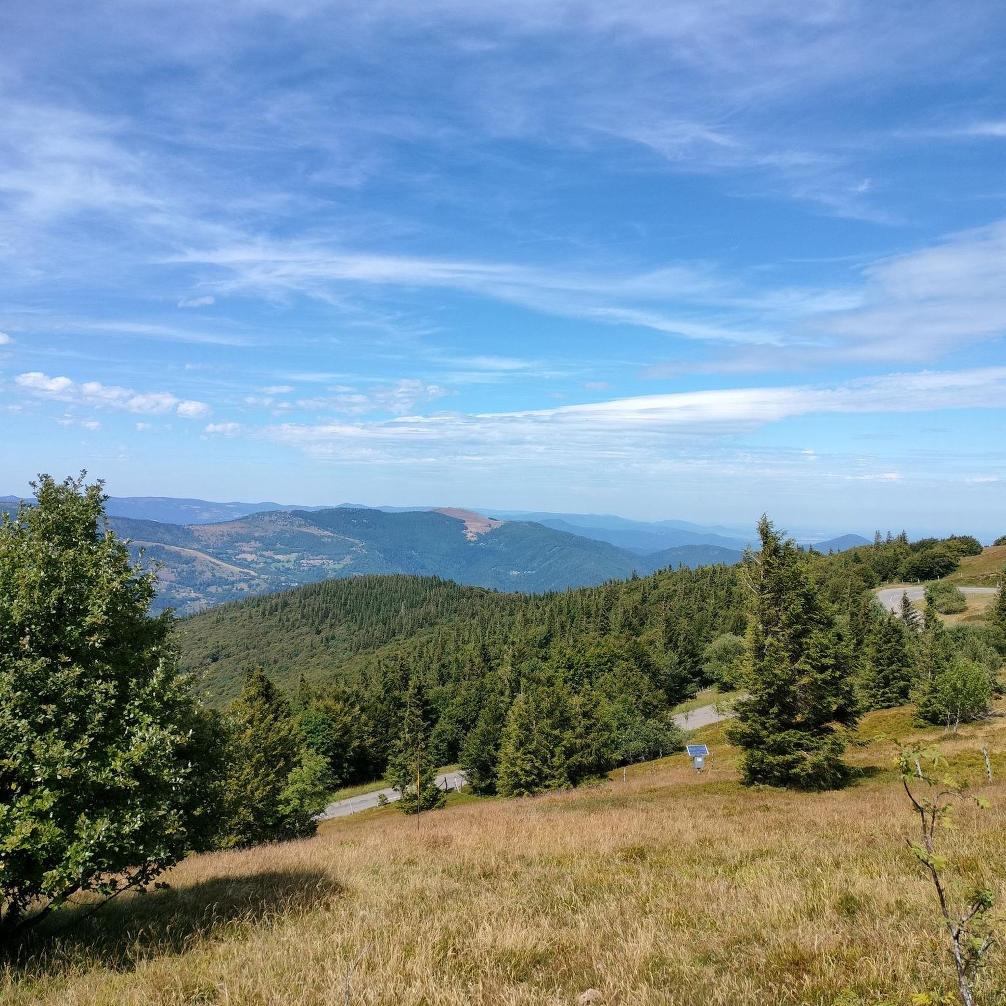
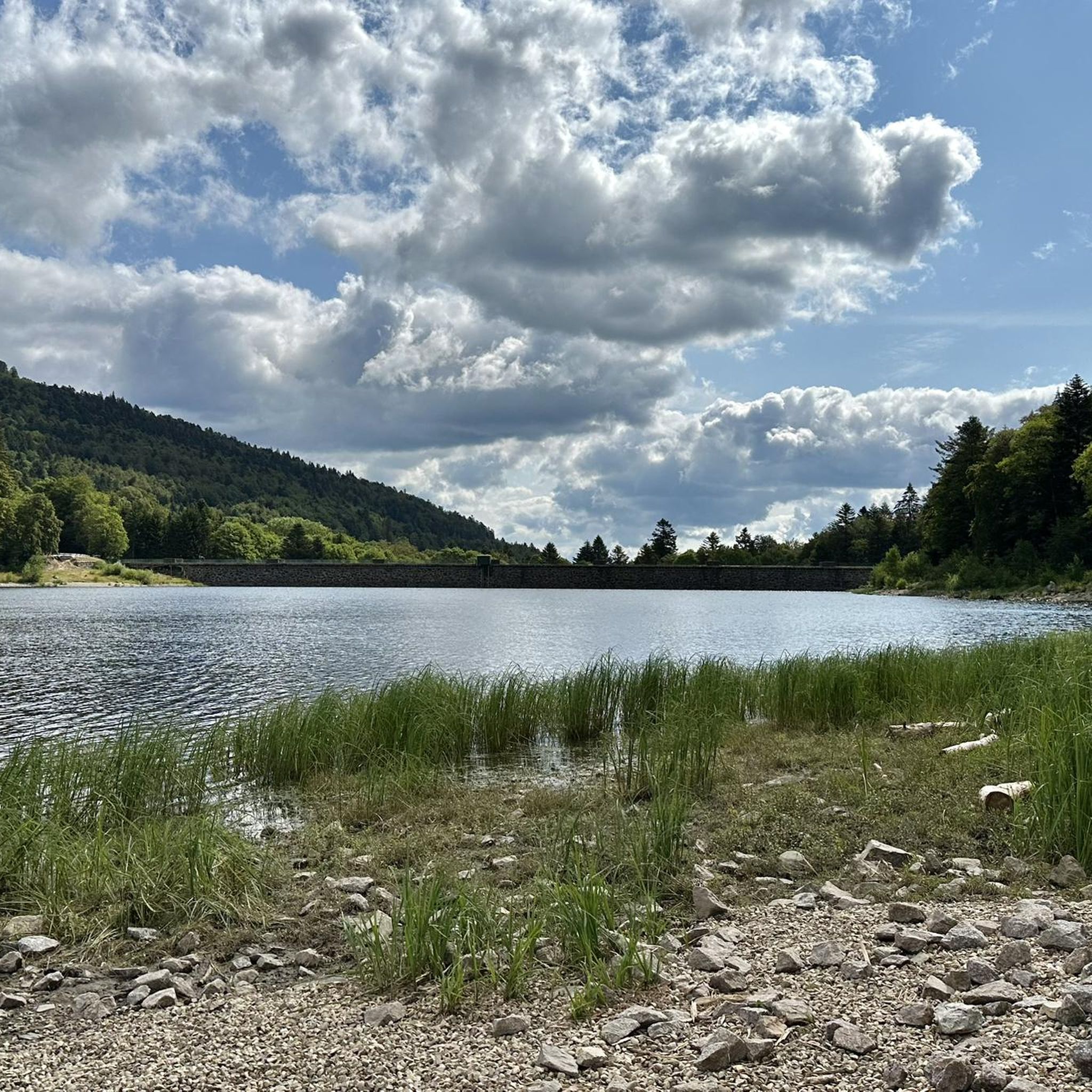
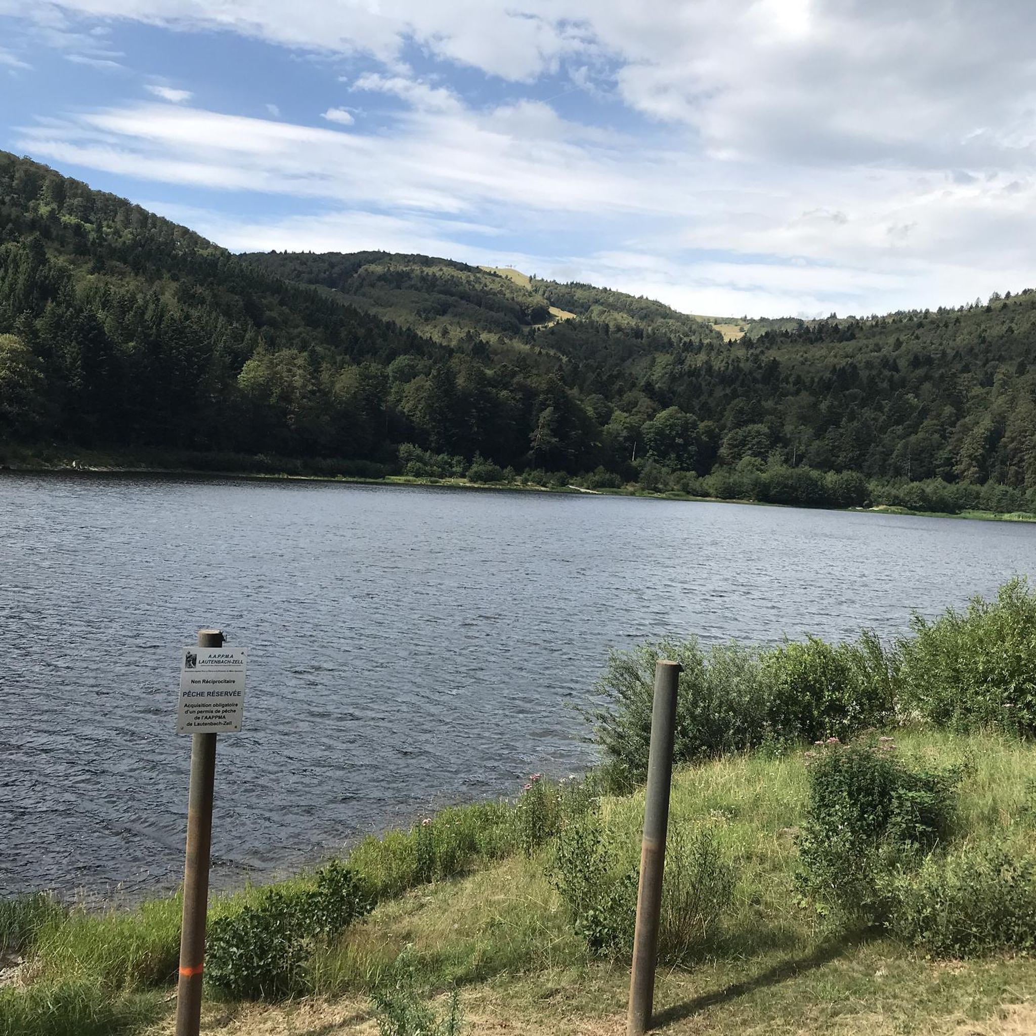
Hiking around Lautenbachzell offers access to the diverse landscapes of the Florival Valley and the Vosges mountains. The region is situated at the foot of the Grand Ballon, the highest peak in the Vosges, and is part of the Ballons des Vosges Regional Natural Park. Trails often traverse alternating forests and prairies, featuring significant elevation changes and natural landmarks like the Lac du Grand Ballon and various waterfalls. The Lauch river also contributes to the area's natural charm.
Best hiking…
Last updated: October 10, 2026
4.7
(590)
2,303
hikers
8.89km
03:21
470m
460m
Moderate hike. Good fitness required. Mostly accessible paths. Sure-footedness required.
4.6
(59)
289
hikers
8.44km
02:33
280m
280m
Hike the moderate 5.2-mile Tour of Markstein Trail in the Vosges mountains, featuring panoramic views and Lake Lauch.

4.7
(23)
139
hikers
11.5km
03:53
570m
570m
Hike the moderate 7.2-mile Le lac du Ballon loop from Hoefen, gaining 1855 feet through the Parc Naturel Régional des Ballons des Vosges.
4.7
(73)
462
hikers
17.1km
06:03
860m
860m
Hard hike. Very good fitness required. Mostly accessible paths. Sure-footedness required.
4.9
(69)
267
hikers
19.5km
07:16
1,000m
1,010m
Hard hike. Very good fitness required. Mostly accessible paths. Sure-footedness required.
Get access to more routes and recommendations from other explorers.
Already have an account?
Our route recommendations are based on thousands of hikes, rides, and runs completed by other people on komoot.
Start today with a free account
Your next adventure awaits.
Popular around Lautenbachzell

Hiking to the summits – France's highest points

Thatches, lakes and forests – Tour des Ballons des Vosges
MTB Trails around Lautenbachzell
Road Cycling Routes around Lautenbachzell
Cycling around Lautenbachzell
Running Trails around Lautenbachzell
Gravel biking around Lautenbachzell
Mountain Hikes around Lautenbachzell


Tips from the Community

When you drive from the Route des Crêtes towards Le Grand Ballon, you pass the Col du Haag (1233 m) almost unnoticed. Yet, this pass marks a special point on the southern flank of the highest mountain in the Vosges. Here, steep roads from the Thurdal leave the wooded slopes and reach the open heights of the massif. From the col, a typical Vosges landscape unfolds with mountain meadows, scattered farms, and sweeping views. The proximity of the Grand Ballon is felt everywhere: the imposing summit towers above the pass and forms the natural goal of the final climbing kilometers. For cyclists, the Col du Haag is mainly known as the point where difficult climbs from the valleys converge before the road continues to rise to the highest point of the Vosges.
4
0

Dedicated to the blue devils (diables bleus), who had to lose their lives at Hartmannswiller Kopf = man-eater head (mangeurs d'hommes) = elite troop of the French, the Chasseurs Alpines. 30,000 victims, Germans and French alike. Compare with Douaumont (Verdun) = Symbol of horror.
0
0

360° panorama and view of the Alps on a clear day (especially in winter).
0
0

The Vosges nature reserve remains beautiful.
3
0
Sturdy shoes recommended, sometimes loose stones.
0
0

At the summit of the Grand-Ballon stands the monument of the Blue Devils, erected on the initiative of the French Alpine Club and the Vosges Club in homage to the victims of the Alpine hunter battalions engaged in the fighting of the 1914-1918 war.
2
0

It is impressive how quickly conditions can change in bad weather on the way to the Grand Ballon
0
0

Frequently Asked Questions
What kind of terrain can I expect on hikes around Lautenbachzell?
Hiking trails around Lautenbachzell feature a diverse landscape, primarily characterized by the majestic Vosges mountains. You'll encounter alternating sections of dense forests and open prairies, with significant elevation changes as you ascend towards peaks like the Grand Ballon. The region is also dotted with picturesque lakes and rivers, such as the Lac du Grand Ballon and the Lauch river, adding to the varied experience.
Are there many hiking options available in Lautenbachzell?
Yes, Lautenbachzell offers a wide array of hiking options. There are over 80 hiking routes available, catering to various skill levels. This includes 17 easy trails for a relaxed stroll, 48 moderate routes for a more engaging experience, and 17 difficult trails for seasoned hikers seeking a challenge.
What natural landmarks or viewpoints can I discover while hiking?
The area around Lautenbachzell is rich in natural landmarks and stunning viewpoints. You can hike to the highest point in the Vosges mountains, Grand Ballon, or explore other significant peaks like Petit Ballon. Trails often pass by beautiful lakes such as the Lac du Grand Ballon and Lac de la Lauch, and you might even encounter waterfalls, like those near the Lac du Grand Ballon. Don't miss the Viewpoint at the summit of Vieil Armand for panoramic vistas.
Are there any circular hiking routes in Lautenbachzell?
Yes, Lautenbachzell offers several excellent circular hiking routes. A popular choice is the Lac de la Lauch — loop from Linthal, which provides a scenic circuit around the lake. Another great option is Le lac du Ballon — loop from Hoefen, which takes you through the regional natural park.
What do other hikers say about the trails in Lautenbachzell?
The hiking trails in Lautenbachzell are highly regarded by the komoot community, holding an impressive average rating of 4.7 stars from over 2,400 reviews. Hikers frequently praise the diverse landscapes, from dense forests to open prairies, and the well-maintained paths that lead to stunning natural features like the Grand Ballon and various lakes. Over 11,000 hikers have used komoot to explore this varied terrain.
Are there any easy hikes suitable for beginners or families?
Yes, Lautenbachzell has 17 easy hiking trails that are well-suited for beginners or families looking for a less strenuous outing. These routes allow you to enjoy the natural beauty of the Florival Valley and the lower slopes of the Vosges mountains without significant challenges. While specific family-friendly routes are not detailed here, the easy category generally offers gentler gradients and shorter distances.
Can I reach the Grand Ballon, the highest peak, from Lautenbachzell?
Absolutely. You can hike to the Grand Ballon, the highest point in the Vosges mountains, from Lautenbachzell. A notable moderate route is Grand Ballon – 1,424 metres (4,672 ft): highest point in the Vosges mountains, which is approximately 8.9 km long and involves a significant ascent. Another option is the more challenging Ballon Lake – Grand Ballon loop from Lautenbachzell, a 12 km moderate route that also leads to the summit.
Are there any waterfalls to see on the hiking trails?
Yes, the region around Lautenbachzell features waterfalls, particularly near the Lac du Grand Ballon. While specific named routes to waterfalls aren't highlighted, many trails that explore the mountainous terrain and lake areas will bring you close to these natural water features, such as the Kletterbach waterfall.
What is the best time of year to go hiking in Lautenbachzell?
The Vosges mountains offer beautiful hiking opportunities throughout much of the year. Spring and autumn are particularly popular for their mild temperatures and vibrant foliage. Summer provides warmer weather for longer days on the trails. While winter hiking is possible, higher elevations may experience snow and require appropriate gear and caution.
What other activities or attractions are near Lautenbachzell besides hiking?
Beyond hiking, Lautenbachzell is an excellent base for other outdoor activities. Its proximity to the 'Route des Crêtes' (Cliff Road) offers stunning panoramic drives and access to higher elevations. For a unique experience, visit the Vivarium du Moulin, housed in a former windmill, which showcases local insects, spiders, and centipedes. The area is also close to ski resorts like Markstein and Grand Ballon for winter sports enthusiasts.
Are there any particularly challenging hikes in the area?
Yes, for experienced hikers seeking a challenge, Lautenbachzell offers several difficult routes. For instance, the Ballon Lake – Grand Ballon loop from Ospenkopf is a difficult 16.1 km trail with substantial elevation gain, providing a demanding yet rewarding experience in the Vosges mountains.
Most popular routes around Lautenbachzell
Most popular attractions around Lautenbachzell

Get inspired with the komoot mobile app


Explore more
Browse the best Hikes in other regions.
