The best mountain hikes around Lautenbachzell
4.5
(7)
38
hikers
17
hikes
Mountaineering routes around Lautenbachzell are situated in the Florival Valley, at the foot of the Grand Ballon, the highest peak in the Vosges mountains. This region is characterized by a diverse mountainous landscape, offering varied terrain for ascents and challenging activities. Lautenbachzell's location within the National Regional Park of the Ballons des Vosges provides access to a vast protected natural area with numerous trails. The nearby Route des Crêtes further enhances opportunities for mountain sports, connecting to summits like Markstein.
…Last updated: September 29, 2026
5.0
(2)
6
hikers
Moderate mountaineering route. Great for any fitness level. Mostly accessible paths. Sure-footedness required.
2
hikers
20.4km
07:44
1,090m
1,090m
Hard mountaineering route. Very good fitness required. Sure-footedness, sturdy shoes and alpine experience required.

3
hikers
13.7km
04:39
670m
670m
Moderate mountaineering route. Good fitness required. Mostly accessible paths. Sure-footedness required.
6
hikers
19.1km
06:00
740m
740m
Hard mountaineering route. Very good fitness required. Easily-accessible paths. Suitable for all skill levels.
3
hikers
13.9km
04:10
430m
430m
Moderate mountaineering route. Good fitness required. Easily-accessible paths. Suitable for all skill levels.
Get access to more routes and recommendations from other explorers.
Already have an account?
Our route recommendations are based on thousands of hikes, rides, and runs completed by other people on komoot.
Start today with a free account
Your next adventure awaits.
Popular around Lautenbachzell

Hiking to the summits – France's highest points

Thatches, lakes and forests – Tour des Ballons des Vosges
Hiking around Lautenbachzell
MTB Trails around Lautenbachzell
Road Cycling Routes around Lautenbachzell
Cycling around Lautenbachzell
Running Trails around Lautenbachzell
Gravel biking around Lautenbachzell


Tips from the Community

De Col van Hahnenbrunnen ligt op een open bergzadel in de Hoge Vogezen, tussen de Markstein‑kam en de Breitfirst. De pas bevindt zich rond 1180 meter hoogte en vormt een overgang tussen de bergweiden (chaumes) van de Route des Crêtes en de beboste hellingen die afdalen naar het dal van de Lauch. Het gebied is genoemd naar oude bergboerderijen (fermes d’altitude) die hier eeuwenlang vee hielden op de hooggelegen weiden.
2
0
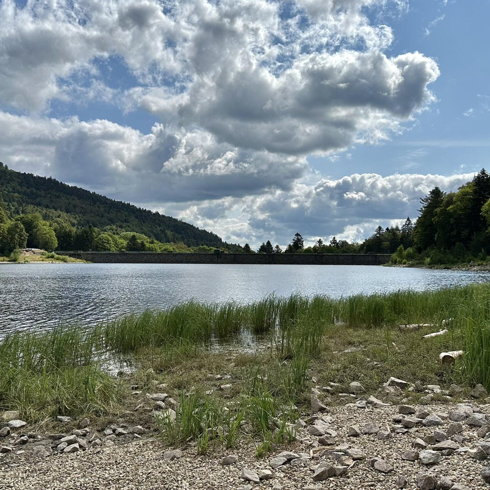
Stuwdam Lac de Kruth‑Wildenstein View over the quiet mountain lake on one side, and on the other side the steep, wooded rock face of the Thur valley.
5
0
The Cascade du Bockloch is an atmospheric waterfall in Alsace (Haut-Rhin department), located on the wooded northeastern bank (right bank) of the Kruth-Wildenstein Lake. The waterfall is fed by the Hinterbockloch mountain stream, which originates on the slopes of the nearby Grand Ventron massif. Water plunges here via an abrupt, steep rock face about 12 meters down into a small, photogenic basin, just before it flows into the reservoir.
4
0

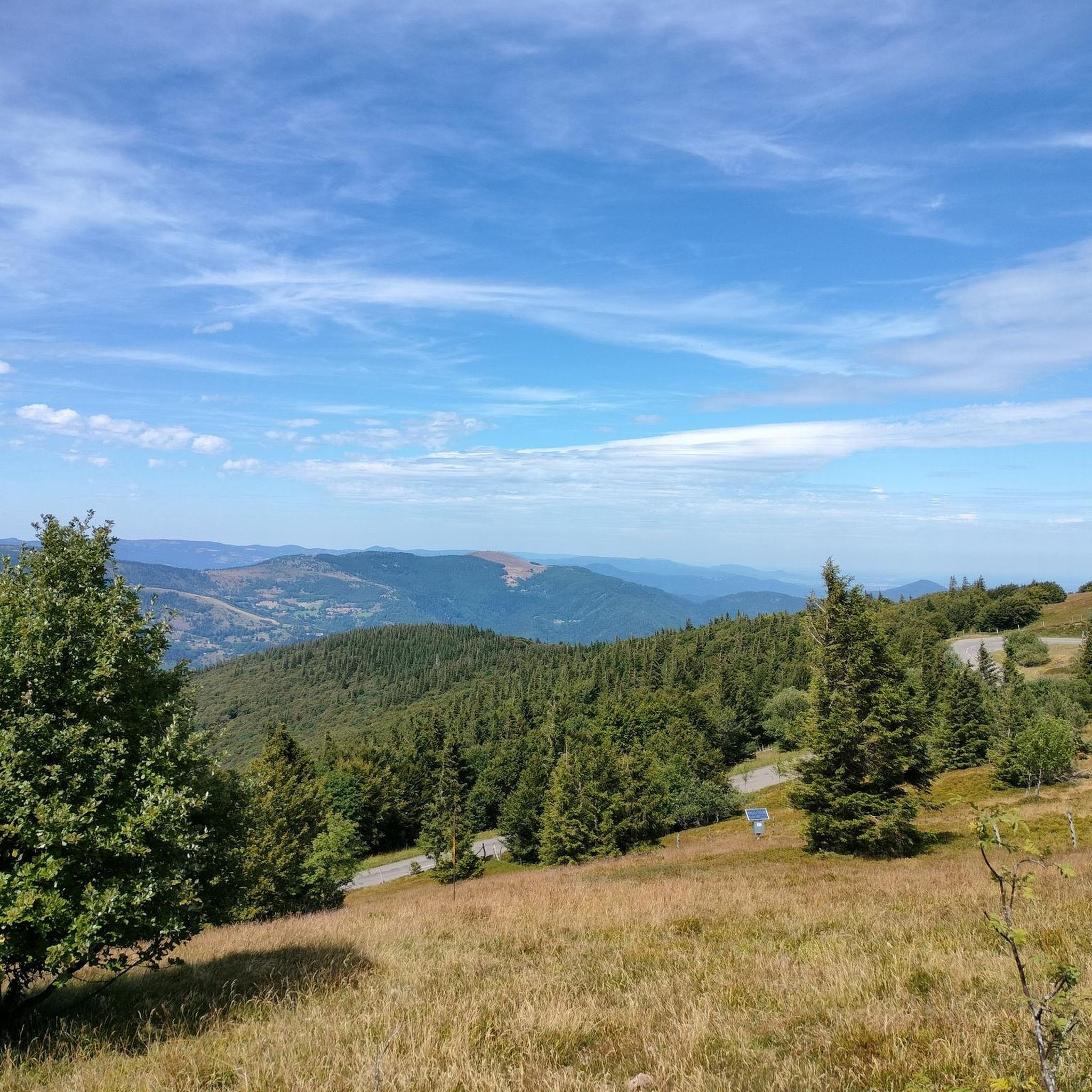
There is a very nice view over the Sondernach Valley.
0
0
This portion of the GR 531 is very pretty. There is a beautiful viewpoint.
1
0

This is an amazing wild camping spot. I am sorry it didn't work for my trail but it is almost worth doing ti again just to sleep here...
0
0

Frequently Asked Questions
How many mountaineering routes are available around Lautenbachzell?
There are 17 mountaineering routes around Lautenbachzell, offering a diverse range of experiences. These include 12 moderate routes and 5 more challenging, difficult routes.
What kind of terrain can I expect on mountaineering routes in the Lautenbachzell area?
Mountaineering routes in Lautenbachzell traverse a diverse mountainous landscape, characterized by the high peaks of the Vosges mountains, scenic valleys, and dense forests. You'll find varied terrain suitable for both moderate and difficult ability levels, often alternating between forests and prairies, especially in the Florival Valley.
Are there any family-friendly mountaineering options near Lautenbachzell?
While many routes are moderate to difficult, some shorter, less strenuous sections or trails within the broader National Regional Park of the Ballons des Vosges might be suitable for families. For a taste of the region's beauty without extreme difficulty, consider routes that offer panoramic views from accessible points, such as the Grand Ballon – Panoramic view from the Grand Ballon summit loop from Grand Ballon, which is a shorter, moderate option.
Can I bring my dog on the mountaineering routes around Lautenbachzell?
Many trails in the Vosges mountains and the National Regional Park of the Ballons des Vosges are generally dog-friendly, provided dogs are kept on a leash, especially in protected areas or near livestock. Always check specific trail regulations before heading out, but generally, your canine companion can join you on adventures like the Le Grand Ventron – Petit Ventron loop from Kruth.
What are some notable viewpoints or natural features to look out for on these routes?
The region is rich in natural beauty. You can enjoy panoramic views from the summit of Grand Ballon, the highest peak in the Vosges. Other significant peaks offering stunning vistas include Petit Ballon and Grand Ventron Summit. The Lake Fischboedle – Hohneck loop from Mittlach also offers views of the picturesque Lake Fischboedle.
Are there any circular mountaineering walks available?
Yes, several routes are designed as loops, allowing you to start and end at the same point. Examples include the Grand Ballon – Panoramic view from the Grand Ballon summit loop from Grand Ballon, the challenging Lake Fischboedle – Hohneck loop from Mittlach, and the Le Grand Ventron – Petit Ventron loop from Kruth.
What is the best time of year for mountaineering in Lautenbachzell?
The best time for mountaineering in Lautenbachzell is generally from late spring to early autumn (May to October) when the weather is milder and trails are clear of snow. However, the region also offers winter sports opportunities at nearby resorts like Grand-Ballon, suggesting that winter mountaineering is possible for experienced individuals with appropriate gear and knowledge of conditions.
What do other mountaineers say about the routes in Lautenbachzell?
The mountaineering routes around Lautenbachzell are highly rated by the komoot community, with an average score of 4.5 stars from 6 reviews. Mountaineers often praise the diverse terrain, the stunning panoramic views from the high peaks, and the well-maintained trails within the protected natural area of the Ballons des Vosges.
Are there any historical landmarks or interesting sites near the mountaineering trails?
Yes, the region has several historical sites, particularly related to World War I. You can explore places like the Adlerhorst Command Post, the Veilchenstein German WW1 Bunker, and the Bischofshut Tunnels and Ruins at Hartmannswillerkopf. These sites offer a glimpse into the area's past amidst the natural beauty.
Are there any options for parking near the starting points of mountaineering routes?
Given Lautenbachzell's role as an ideal departure point for mountain sports, parking is generally available near popular trailheads and villages. For instance, routes starting from Grand Ballon, Mittlach, Kruth, Wildenstein, or Le Markstein typically have designated parking areas to accommodate visitors. It's always advisable to check specific route descriptions for detailed parking information.
How long do mountaineering routes in Lautenbachzell typically take to complete?
The duration of mountaineering routes varies significantly based on distance and difficulty. Shorter, moderate loops like the Grand Ballon – Panoramic view from the Grand Ballon summit loop from Grand Ballon can be completed in about 1 hour 25 minutes. Longer, more difficult routes, such as the Markstein – Lake Lauch loop from Le Markstein, might take around 4 hours 10 minutes, while the most challenging ones can extend to 8 hours or more.
Are there any easy mountaineering routes for beginners?
While the guide primarily features moderate to difficult mountaineering routes, beginners can find shorter, less strenuous sections or trails within the broader National Regional Park of the Ballons des Vosges. For a taste of the region's beauty without extreme difficulty, consider the Grand Ballon – Panoramic view from the Grand Ballon summit loop from Grand Ballon, which is a moderate route but relatively short at 3.5 km.
Most popular routes around Lautenbachzell
Most popular attractions around Lautenbachzell

Get inspired with the komoot mobile app


Explore more
Browse the best Mountain Hikes & Routes in other regions.
