The best running trails around Le Champ-Près-Froges
4.4
(116)
6,602
runners
346
runs
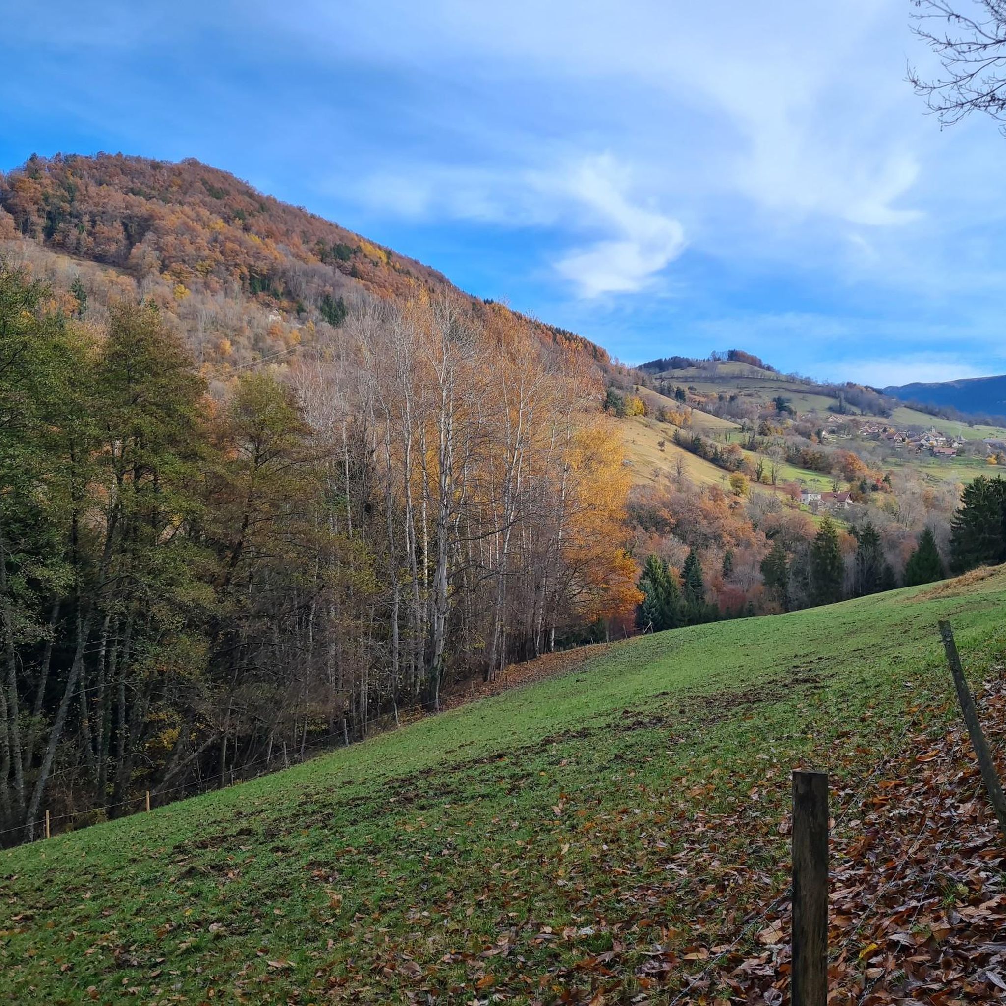
Jogging routes around Le Champ-Près-Froges offer diverse natural landscapes within the Isère region of the French Alps. The area is characterized by the dramatic peaks and alpine meadows of the Belledonne Massif, alongside the limestone cliffs and woodlands of the Chartreuse Regional Natural Park. Running trails often provide views across the Grésivaudan Valley, with options ranging from gentle paths to routes with significant elevation changes. The region features numerous forests and mountain passes, providing varied terrain for runners.
Best jogging…
Last updated: June 27, 2026
5.0
(1)
19
runners
19.4km
02:37
850m
850m
Hard run. Very good fitness required. Mostly paved surfaces. Suitable for all skill levels.
70
runners
17.6km
02:20
820m
820m
Hard run. Very good fitness required. Mostly paved surfaces. Suitable for all skill levels.

Sign up for free
16
runners
13.0km
01:51
760m
760m
Hard run. Very good fitness required. Mostly paved surfaces. Suitable for all skill levels.
14
runners
5.33km
00:34
30m
30m
Moderate run. Good fitness required. Mostly paved surfaces. Suitable for all skill levels.
4.0
(1)
17
runners
8.75km
01:08
400m
400m
Hard run. Very good fitness required. Mostly paved surfaces. Suitable for all skill levels.
Get access to more routes and recommendations from other explorers.
Sign up for free
Already have an account?
Our route recommendations are based on thousands of hikes, rides, and runs completed by other people on komoot.
Start today with a free account
Your next adventure awaits.
Login or Signup
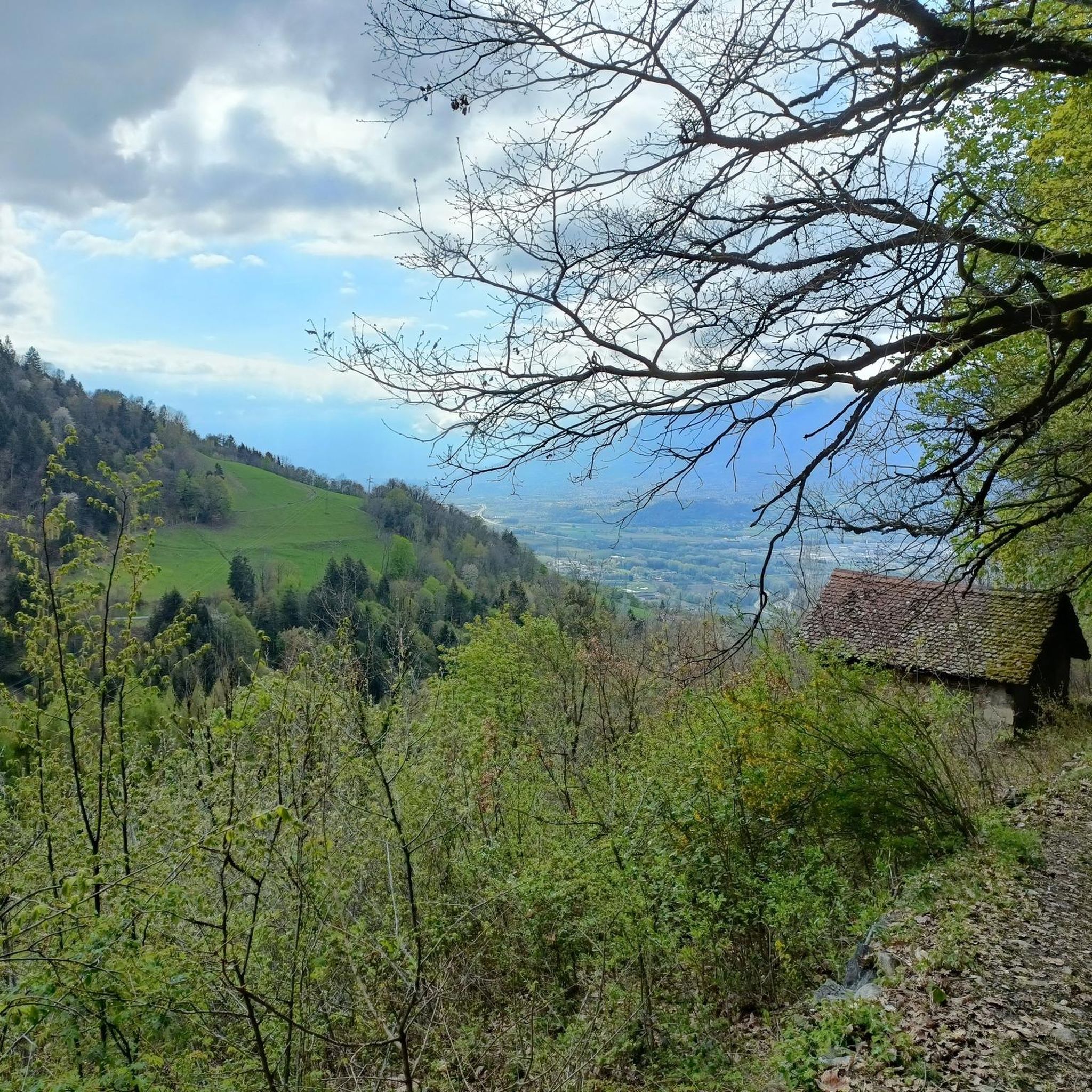
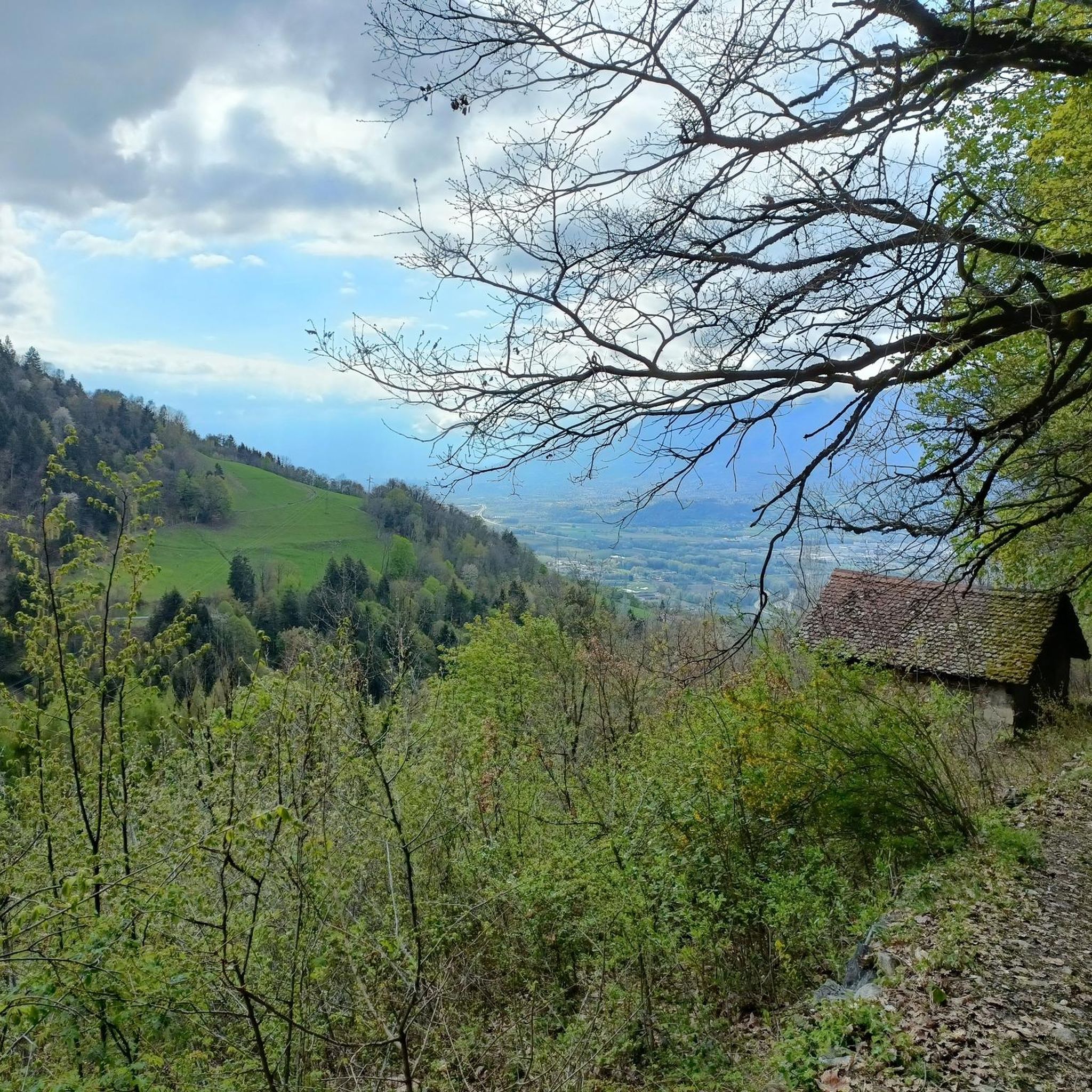

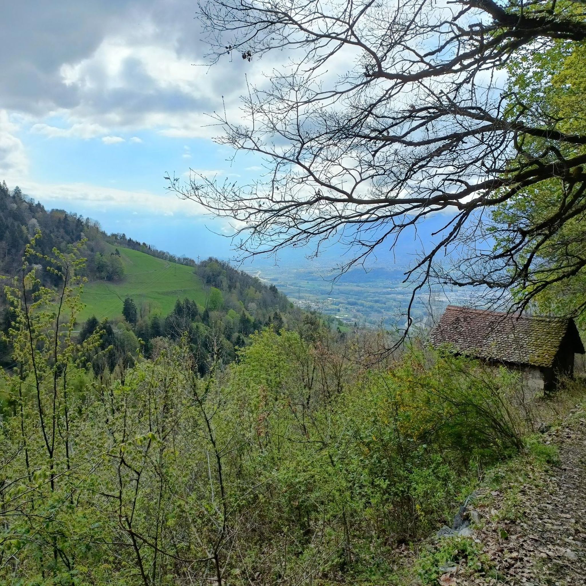
Tips from the Community

Beautiful view of the region, accessible tower, table for lunch, orientation table.
0
0


Classic pass of the Balcons de Belledonne
0
0

A regular climb on the balconies of Belledonne. At the top, you can continue to the ski resort of Les 7 Laux.
1
0

Small quiet pass coming from the south. Tencin side, it is much more severe. On the road to the balconies of Belledone. A must!
1
0

From TENCIN: 9.80 km for an average slope of 6.9% (13.0% max)
0
0

One of the many beautiful but steep climbs in the Belledonne Area. Great descent to Theys. Camping Les 7 Laux is ideal to buy fresh drinks and cookies. Friendly owner.
2
0
Frequently Asked Questions
How many running routes are available around Le Champ-Près-Froges?
There are over 300 running routes around Le Champ-Près-Froges, catering to various fitness levels. You'll find a mix of easy, moderate, and difficult trails to explore.
What kind of terrain can I expect on the running trails in this region?
The running trails around Le Champ-Près-Froges offer diverse terrain. You can expect paths through dense forests, expansive alpine meadows, and routes with significant elevation changes, especially in the Belledonne Massif. Some trails also provide views across the Grésivaudan Valley.
Are there any scenic viewpoints or natural features to see while running?
Absolutely! Many routes offer panoramic views of the Belledonne Massif, Chartreuse, Vercors, Jura, and even Mont Blanc. You might also encounter natural features like the Cascade de Crolles, and several mountain passes such as Col du Coq or Bellefont Pass.
Are there any circular running routes available?
Yes, many of the running routes in Le Champ-Près-Froges are circular. For example, the Running loop from La Pierre is a moderate 5.3 km circular trail, perfect for a quick run. Another popular option is the Château de la Pierre loop from La Pierre, which is 7.3 km.
Are there family-friendly jogging options in Le Champ-Près-Froges?
Yes, the region offers several easy routes suitable for families. The 9,000 km of well-marked paths in Isère include options with minimal elevation, making them accessible for a leisurely family jog. Look for routes described as 'easy' for the most suitable options.
What are the options for parking near the trailheads?
While specific parking details for every trailhead are not provided, the area is well-equipped for outdoor enthusiasts. Many popular running routes, especially those starting from villages like La Pierre, typically have designated parking areas nearby. It's advisable to check individual route descriptions for precise parking information.
What do other runners say about the trails in Le Champ-Près-Froges?
The running routes in Le Champ-Près-Froges are highly rated by the komoot community, with an average score of 4.4 stars from over 90 reviews. Runners often praise the varied terrain, scenic views, and the extensive network of paths that cater to all ability levels.
Are there any challenging running routes for experienced trail runners?
Absolutely. For experienced trail runners, there are numerous challenging routes with significant elevation gain. The Col des Ayes (944 m) – Chemin des Vignes loop from La Pierre is a difficult 17.6 km trail with over 800 meters of elevation, offering a demanding experience. Another challenging option is the Tour de Montfallet – Chemin des Vignes loop from La Pierre.
Are there any easy running routes for beginners?
Yes, beginners will find several easy running routes. The region is known for its diverse trails, including those with minimal elevation changes, perfect for a gentle introduction to jogging in the Alps. Look for routes specifically marked as 'easy' to find suitable options.
Are there any routes that pass by lakes or water features?
Yes, the region is dotted with mountain passes and high-altitude lakes. You can find routes that pass by serene spots like Lake Crop or Pas de la Coche and Lake, offering picturesque views and tranquil environments for your run.
What is the best time of year to go running in Le Champ-Près-Froges?
Le Champ-Près-Froges is suitable for running throughout much of the year. Spring and autumn offer pleasant temperatures and vibrant scenery. Summer is also excellent, especially for higher-altitude trails. Winter running is possible, but conditions can vary, particularly in the mountains, so checking local weather and trail conditions is recommended.
Can I bring my dog on the running trails around Le Champ-Près-Froges?
Many trails in the French Alps are dog-friendly, but regulations can vary, especially within protected areas like the Chartreuse Regional Natural Park. It's generally advisable to keep dogs on a leash to protect wildlife and ensure a pleasant experience for all trail users. Always check specific trail rules or local signage.
Are there any routes that feature waterfalls?
Yes, the region's natural allure includes the Cascade de Crolles. While not explicitly listed in the provided routes, the 'Cascade de Crolles loop from Lumbin' is mentioned as a moderate trail in the region, suggesting opportunities to run near this beautiful waterfall.
Most popular routes around Le Champ-Près-Froges
Most popular attractions around Le Champ-Près-Froges

Get inspired with the komoot mobile app


Explore more
Browse the best Running Trails & Routes in other regions.
