The best cycling routes around Le Champ-Près-Froges
4.6
(292)
6,428
riders
161
rides
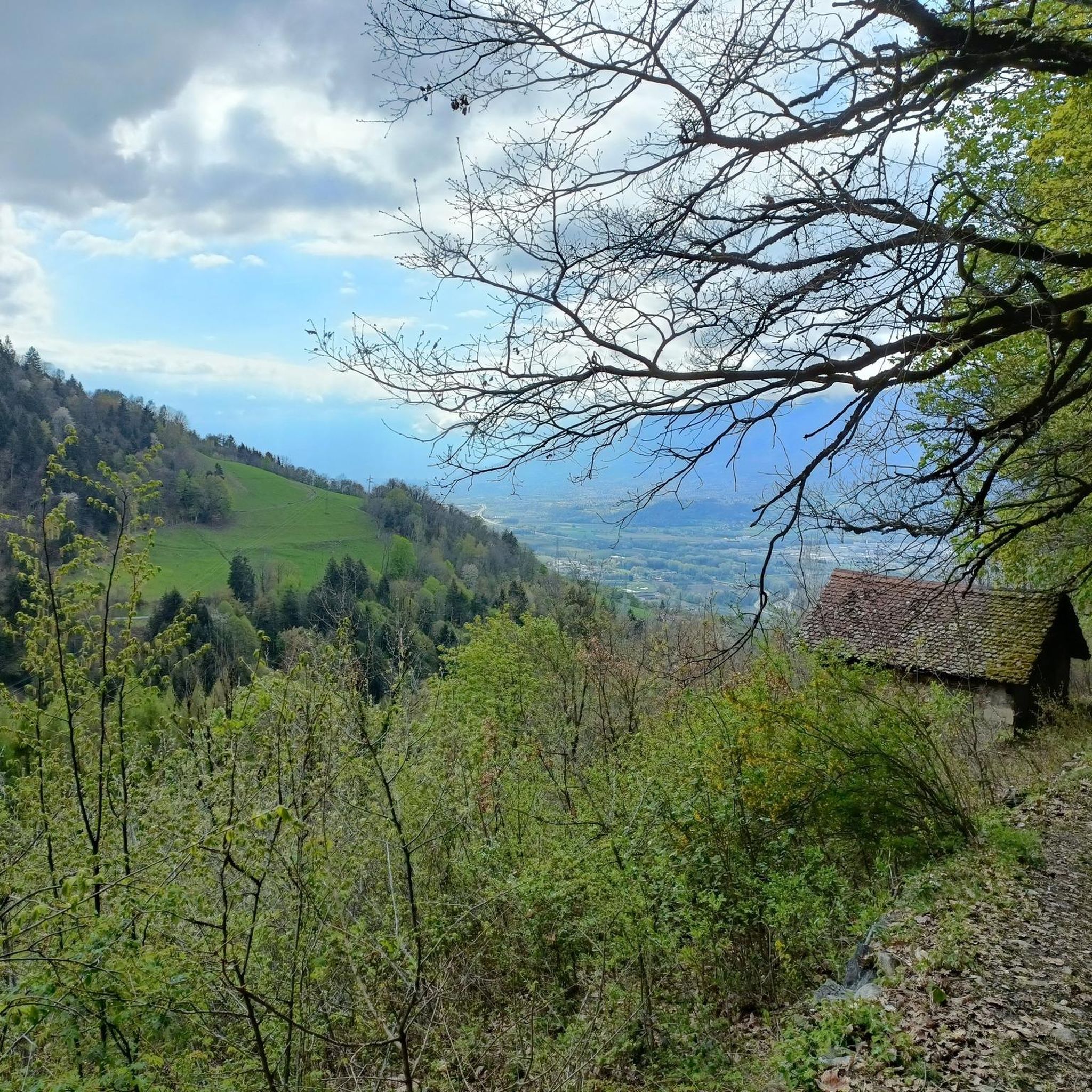
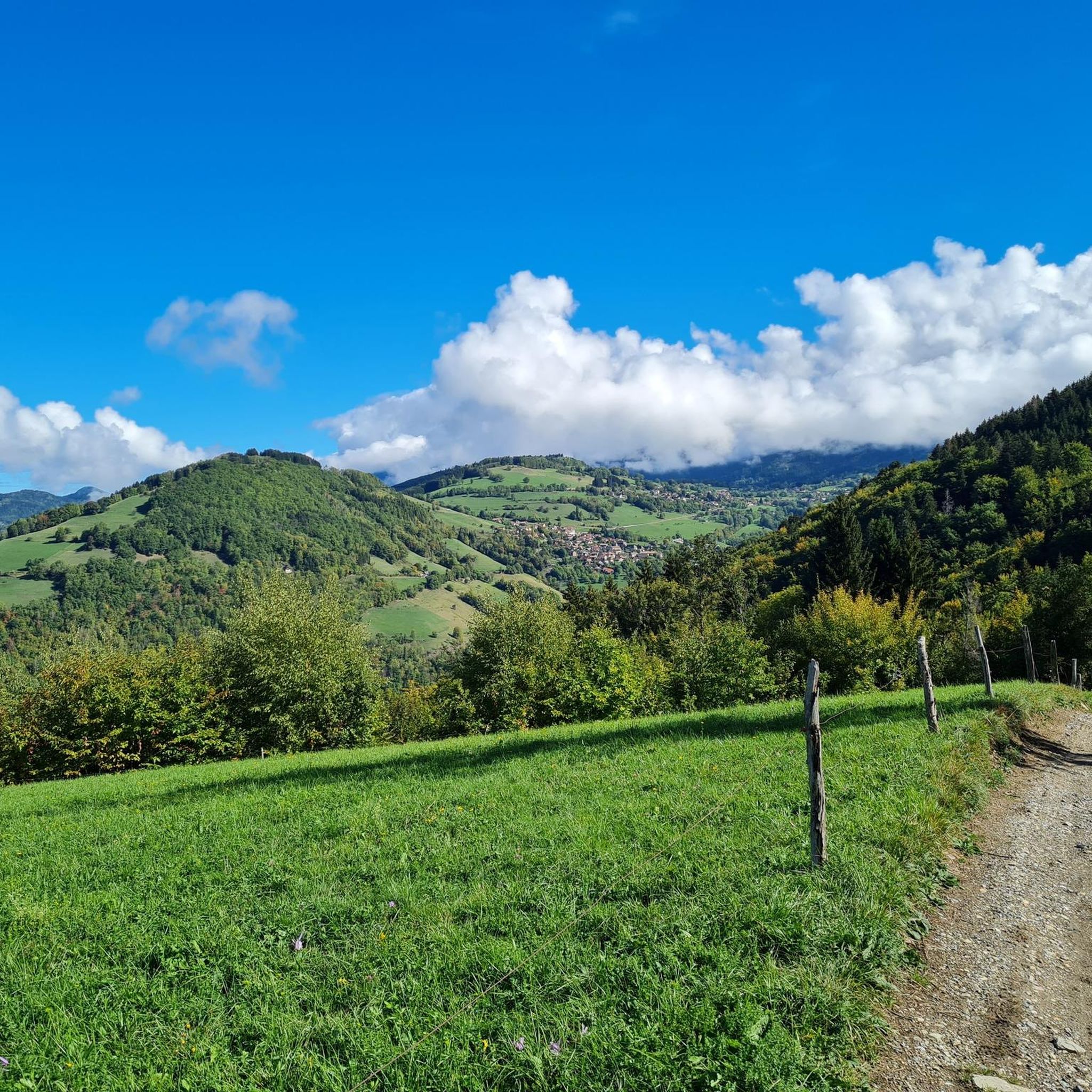
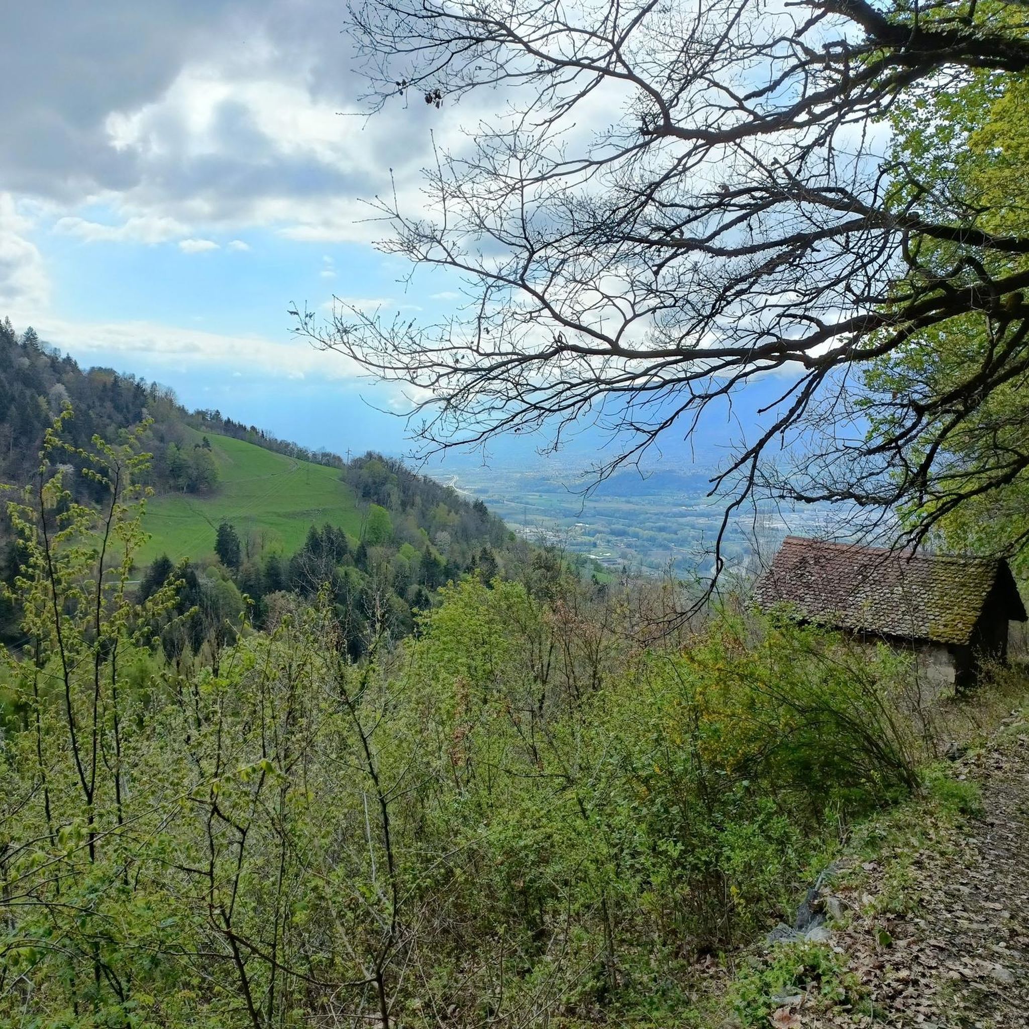
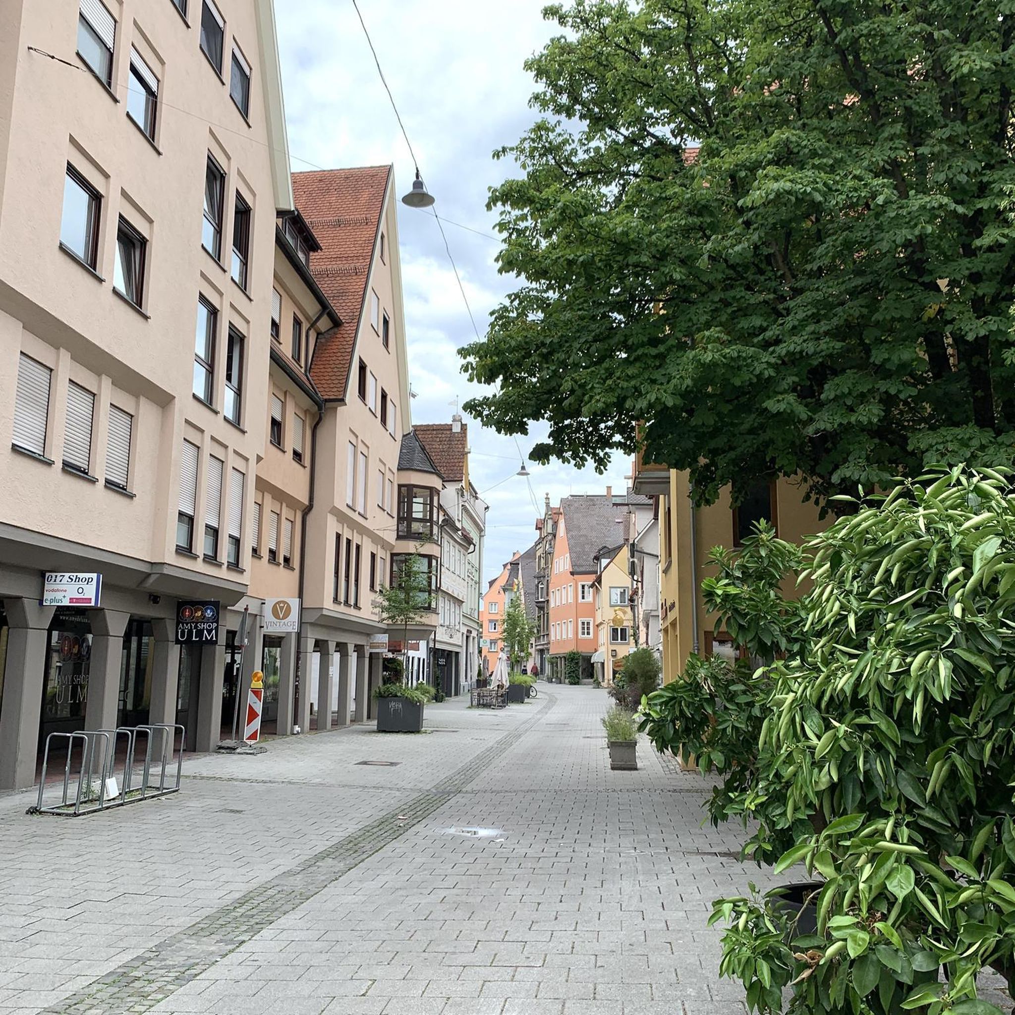
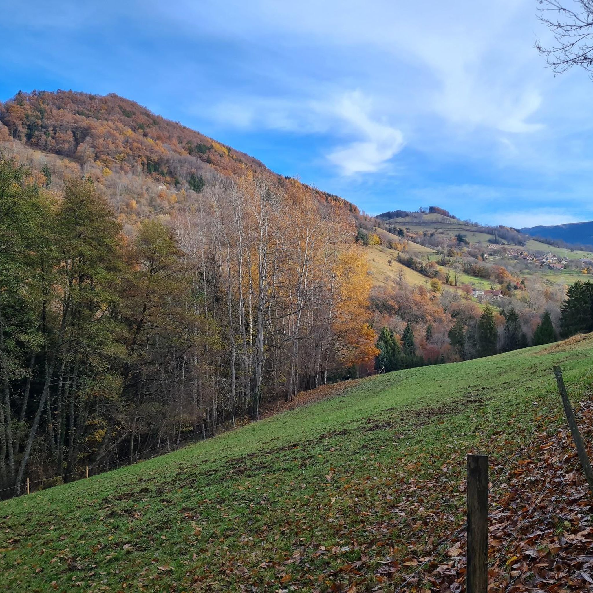
Touring cycling routes around Le Champ-Près-Froges navigate a landscape characterized by the Isère valley and surrounding pre-Alpine foothills. The region features a mix of open basins, such as the Basin of Le Cheylas, and ascents to mountain passes like Col des Ayes. Routes often include views of historical structures and natural vistas, with varied terrain suitable for different cycling abilities.
Best touring cycling routes around Le Champ-Près-Froges
- The most popular touring cycling route is Basin of Le Cheylas – Saint-Aupre…
Last updated: July 3, 2026
4.9
(9)
86
riders
Moderate bike ride. Good fitness required. Mostly paved surfaces. Suitable for all skill levels.
4.7
(3)
79
riders
61.8km
04:04
860m
860m
Hard bike ride. Very good fitness required. Mostly paved surfaces. Suitable for all skill levels.

Sign up for free
5.0
(1)
49
riders
25.6km
02:08
820m
830m
Hard bike ride. Very good fitness required. Mostly paved surfaces. Suitable for all skill levels.
48
riders
36.3km
02:59
1,130m
1,130m
Hard bike ride. Very good fitness required. Mostly paved surfaces. Suitable for all skill levels.
5.0
(1)
24
riders
104km
08:00
2,730m
2,730m
Hard bike ride. Very good fitness required. Mostly paved surfaces. Suitable for all skill levels.
Get access to more routes and recommendations from other explorers.
Sign up for free
Already have an account?
Our route recommendations are based on thousands of hikes, rides, and runs completed by other people on komoot.
Start today with a free account
Your next adventure awaits.
Login or Signup

Tips from the Community

Proper climb from Chambery, beautiful views of the Chartreuse.
0
0
Small pass in the Chartreuse, beautiful views and relatively quiet road.
2
0

Very beautiful hamlet, which notably opens up the view of the Bauges in the background. The road that allows access from Allevard is very accessible.
0
0

strange monument erected in honor of Mr. Ernest Doudart, who distinguished himself in Indochina
0
0


Warning: The climb from the east side is extremely steep! An average gradient of around 10% over 9-10 km.
2
0

From Saint Laurent du Pont, a demanding 14km climb, with many sections at over 10%. It is divided into three parts: 9km of irregular ascent (6 to 11.5% /100m) to the junction for the Chartreuse Monastery. Then 2km of flat terrain to the foot of St Pierre de Chartreuse and finally a very steep climb (several sections at +12% /100m) to the Col de Cucheron. A pass not to be underestimated! 25 degrees at St Laurent = 15 degrees at the top of the pass and its very shaded slopes. Dress accordingly.
2
0
Exceptional site at the foot of the Dent de Crolle with access via a wild forest road
2
0
Frequently Asked Questions
How many touring cycling routes are available around Le Champ-Près-Froges?
There are over 170 touring cycling routes in the Le Champ-Près-Froges region, offering a wide variety of options for different skill levels and preferences.
Are there easy touring cycling routes suitable for beginners or families?
Yes, the region offers 38 easy touring cycling routes. These routes typically navigate the valley floors and open basins, providing a gentle cycling experience. An example is the Basin of Le Cheylas – Saint-Aupre Church loop from Le Champ-près-Froges, which is a moderate route but offers accessible terrain.
What kind of terrain can I expect on touring cycling routes in Le Champ-Près-Froges?
The terrain around Le Champ-Près-Froges is diverse, ranging from flat valley floors in areas like the Basin of Le Cheylas to ascents towards pre-Alpine foothills and mountain passes. You'll find a mix of open landscapes and more challenging climbs.
Are there challenging touring cycling routes for experienced cyclists?
Absolutely. For experienced cyclists, there are 95 difficult routes. These often involve significant elevation gains as they lead to mountain passes. An example is the Château du Touvet – Fort Barraux loop from La Pierre, which features historical landmarks and demanding sections.
What are some scenic highlights or landmarks I can see along the routes?
Many routes offer views of historical structures and natural vistas. You can explore areas with landmarks like Château du Touvet and Fort Barraux. The region also features beautiful natural attractions such as Lake Crop, Lake Curtillard, and the Montfort Marsh Nature Reserve. Mountain passes like Col du Coq also offer stunning views.
Are there any touring cycling routes that are loops?
Yes, many touring cycling routes in the area are designed as loops, allowing you to start and end at the same point. Examples include the Col des Ayes (944 m) – Col des Ayes (944 m) loop from Hurtières and the Col des Ayes (944 m) – Col des Ayes (944 m) loop from Les Adrets.
What is the typical duration for touring cycling routes in this area?
Route durations vary significantly based on distance and difficulty. Shorter, easier routes might take around 2 hours, while longer, more challenging routes, such as the View of Les 7 Laux – Col des Ayes (944 m) loop from La Pierre, can take 3 hours or more to complete.
What do other touring cyclists say about the routes in Le Champ-Près-Froges?
The routes in Le Champ-Près-Froges are highly rated by the komoot community, with an average score of 4.5 stars from over 300 reviews. Cyclists often praise the varied terrain, from valley floors to mountain passes, and the scenic views of historical sites and natural landscapes.
When is the best time of year for touring cycling in Le Champ-Près-Froges?
Given the region's mix of valley floors and pre-Alpine foothills with mountain passes, spring through autumn generally offers the most favorable conditions. During these seasons, you can expect pleasant temperatures and clear access to higher elevations. Winter cycling might be limited, especially on mountain passes, due to snow or ice.
Are there routes that offer views of the surrounding mountains or valleys?
Yes, many routes provide expansive views of the Isère valley and the surrounding pre-Alpine foothills. Routes that ascend to mountain passes, such as those around Col des Ayes, are particularly known for their panoramic vistas.
Can I find routes that combine historical sites with natural beauty?
Definitely. The region's touring cycling routes often blend cultural heritage with natural landscapes. For instance, the Château du Touvet – Fort Barraux loop from La Pierre allows you to cycle past significant historical landmarks while enjoying the natural scenery.
Most popular routes around Le Champ-Près-Froges
Most popular attractions around Le Champ-Près-Froges

Get inspired with the komoot mobile app


Explore more
Browse the best Cycling routes in other regions.
