The best mountain hikes around Le Champ-Près-Froges
4.5
(20)
257
hikers
17
hikes
Mountaineering around Le Champ-Près-Froges offers access to diverse terrain in the French Alps, situated between the Isère river and the Belledonne mountain range. The region is characterized by rugged peaks, such as those in the Belledonne Massif, and dramatic limestone cliffs found in the nearby Chartreuse Regional Natural Park. Numerous mountain passes, high-altitude lakes, and deep forests provide varied environments for challenging ascents and technical routes. This area serves as a gateway to significant natural features, making it a prime…
Last updated: July 1, 2026
5.0
(1)
44
hikers
Hard mountaineering route. Very good fitness required. Mostly accessible paths. Sure-footedness required.
20
hikers
Hard mountaineering route. Very good fitness required. Mostly accessible paths. Sure-footedness required.

Sign up for free
3.0
(1)
17
hikers
Moderate mountaineering route. Good fitness required. Mostly accessible paths. Sure-footedness required.
5.0
(1)
16
hikers
6.52km
03:46
630m
620m
Hard mountaineering route. Good fitness required. Sure-footedness, sturdy shoes and alpine experience required.
11
hikers
9.98km
05:12
860m
860m
Hard mountaineering route. Very good fitness required. Sure-footedness, sturdy shoes and alpine experience required.
Get access to more routes and recommendations from other explorers.
Sign up for free
Already have an account?
Our route recommendations are based on thousands of hikes, rides, and runs completed by other people on komoot.
Start today with a free account
Your next adventure awaits.
Login or Signup
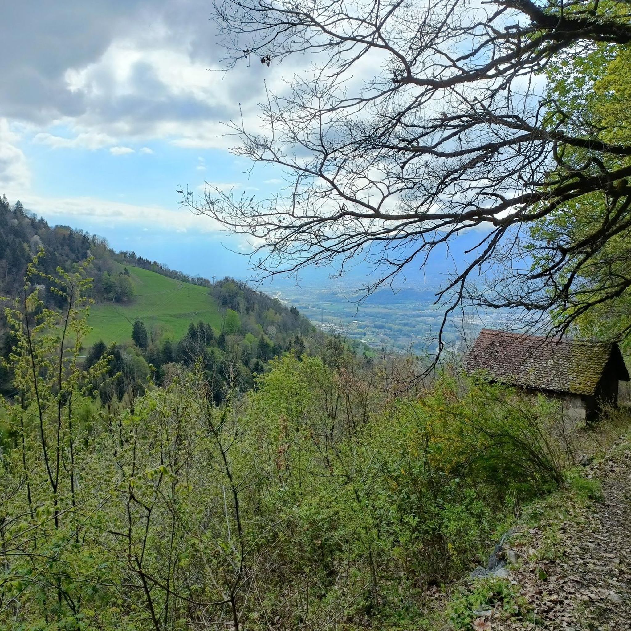
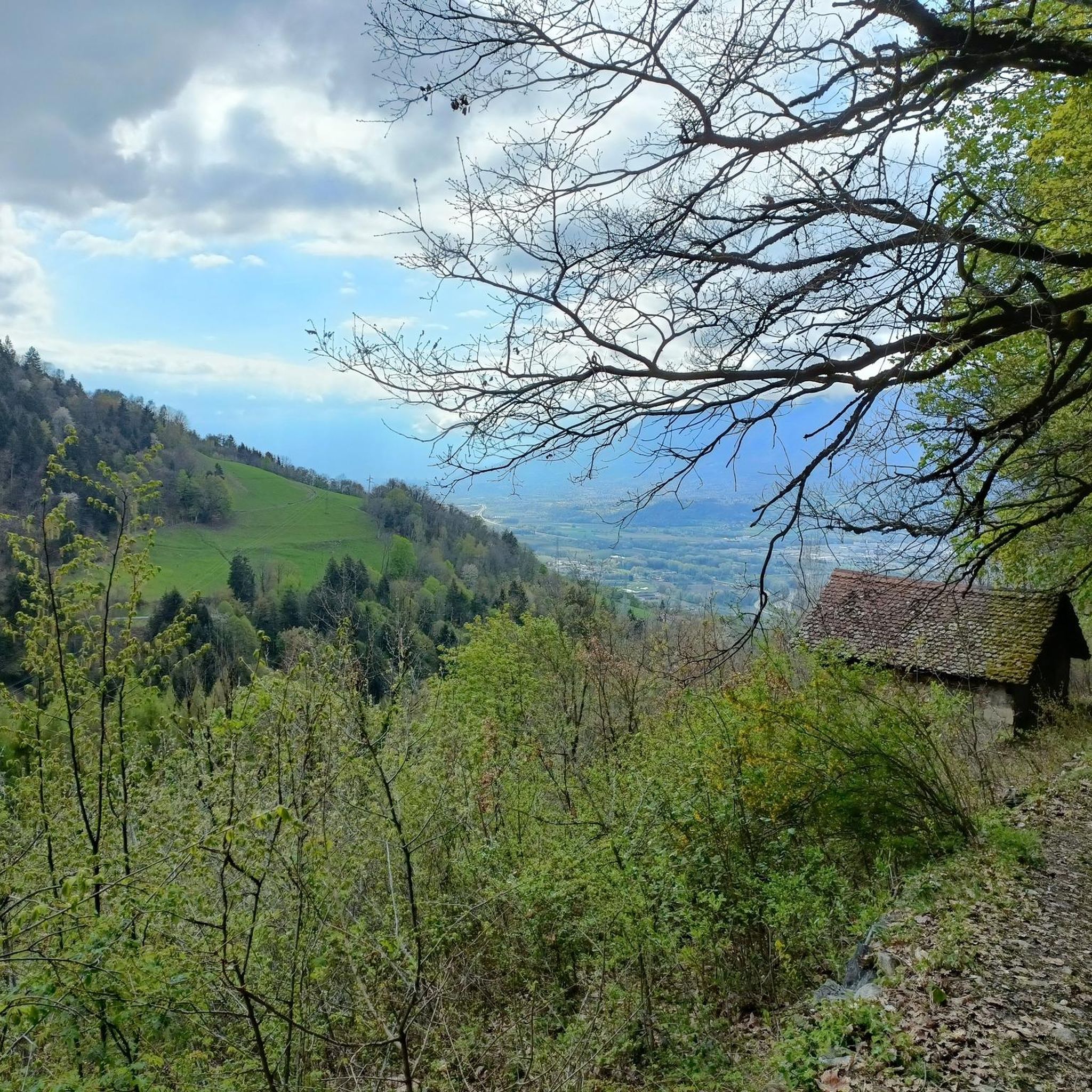
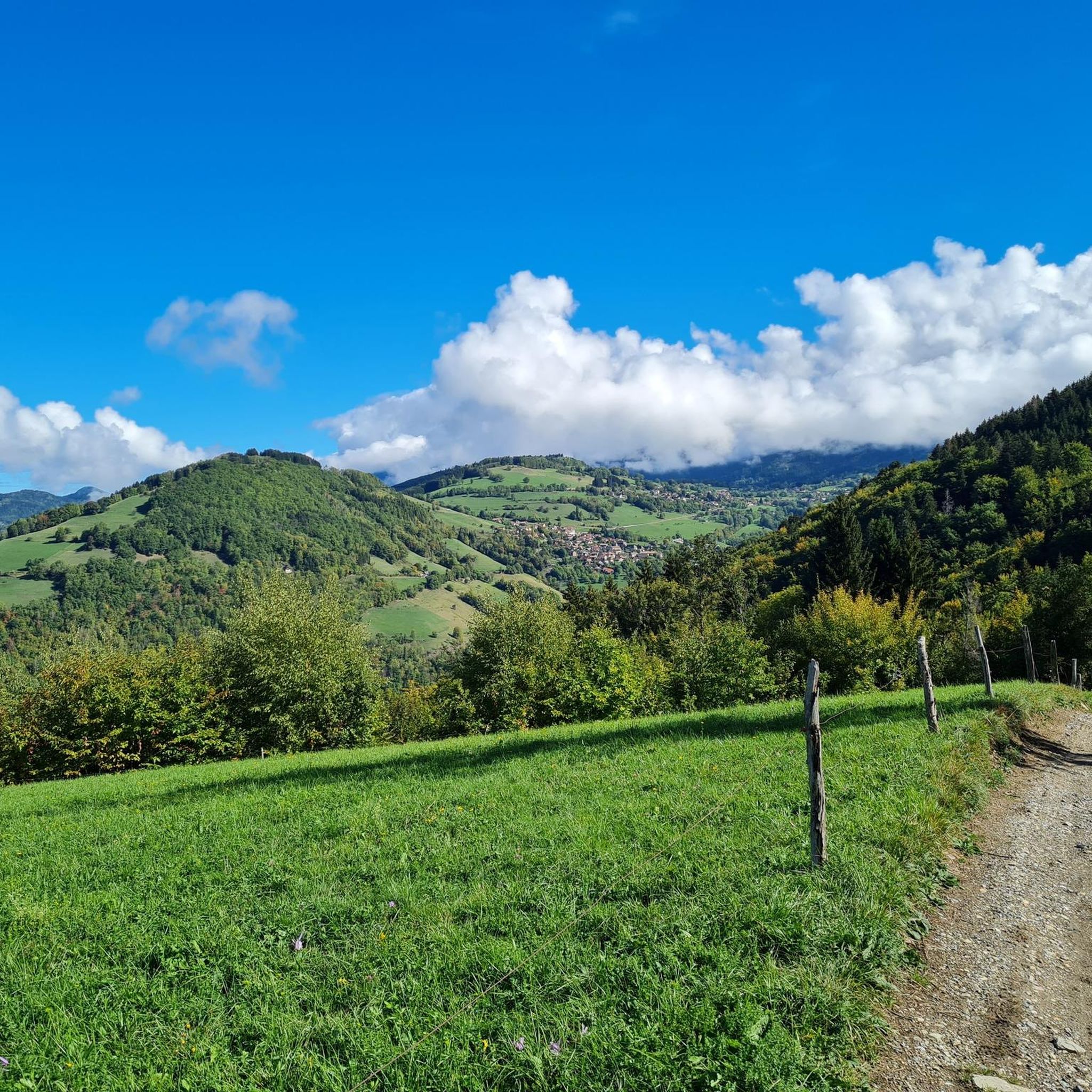
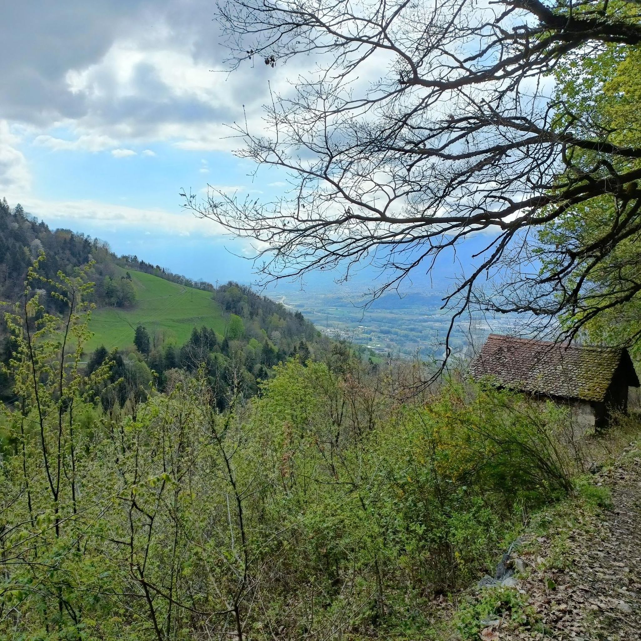
Tips from the Community

The cross of the Aulp du seuil is located at 1825m above the cirque and marks the entrance to the high plateaus.
0
0

For a stopover during the Tour des lacs des 7 Laux or just a break. A very friendly team with simple but quality cuisine and more than reasonable prices. In short, a break is essential.
0
0
Alone in the world... Or almost
0
0

Exceptional site at the foot of the Dent de Crolle with access via a wild forest road
2
0

Beautiful rock formation. Here is one of the steepest sections
0
0
There's still a lot to do if you want to climb the Dent de Crolles :)
0
0
A stunning summit with views of Mont Blanc. The two climbs from the Col des Ayes are relatively steep, but steel cables are installed at the more dangerous sections. The climb north via the Trou du Glaz is a bit longer and a bit easier. The climb east is a bit steeper and more exposed. The view is good, though.
1
0

Great hike! Make sure you have good shoes with crampons because some slopes are a bit slippery. Magnificent view at the top.
0
0
Frequently Asked Questions
What kind of mountaineering routes can I expect around Le Champ-Près-Froges?
Le Champ-Près-Froges offers a diverse range of mountaineering routes, from moderate ascents to challenging technical trails. You'll find paths leading through the rugged peaks of the Belledonne Massif and the dramatic limestone cliffs of the Chartreuse Regional Natural Park, often passing by high-altitude lakes and deep forests.
Are there any family-friendly mountaineering options in the area?
While many routes are challenging, there is one easy mountaineering route available, and 11 moderate routes that might be suitable for families with some hiking experience. For example, the Pas de la Coche and Lake – Le Habert d'Aiguebelle Refuge loop from Parking de l'Olagneraie is a moderate 7.3-mile (11.7 km) route that takes around 4 hours 50 minutes, offering beautiful alpine scenery.
What are some popular circular mountaineering routes near Le Champ-Près-Froges?
Several popular routes are circular, allowing you to return to your starting point. A challenging option is the Le pas de l'œil – Dent de Crolles loop from Saint-Pancrasse, a 4.7-mile (7.6 km) trail with views towards the notable Dent de Crolles peak. For a longer, difficult adventure, consider the Lacs du Vénétier – Cime de la Jasse loop from Parking de l'Olagneraie, which is 10.7 miles (17.2 km) and explores high mountain lakes.
What do other mountaineers say about the routes in Le Champ-Près-Froges?
The mountaineering routes around Le Champ-Près-Froges are highly rated by the komoot community, with an average score of 4.5 stars from over 30 reviews. Mountaineers often praise the diverse terrain, from rugged peaks to serene mountain lakes, and the challenging yet rewarding ascents.
Are there any notable peaks or viewpoints to aim for on a mountaineering tour?
Absolutely! The region is home to several prominent peaks that offer spectacular views. The Dent de Crolles is a particularly notable summit in the Chartreuse massif, visible from many trails. Other significant peaks include The Grand Rock, Crêt du Poulet, and Pravouta. You can find more information about these and other peaks in the Peaks around Le Champ-Près-Froges guide.
Can I find routes that pass by mountain lakes?
Yes, the region is known for its beautiful high-altitude lakes. The Lac du Pas de la Coche – Grand lac du Vénétier loop from Le Muret is a 7.2-mile (11.6 km) difficult trail that specifically leads through alpine landscapes and past these stunning mountain lakes. Another moderate option is the Lac de Crop loop from Parking du Pont de la Betta.
What are the typical distances and elevation gains for mountaineering routes here?
The routes vary significantly. For example, a difficult route like the Lacs du Vénétier – Cime de la Jasse loop covers 10.7 miles (17.2 km) with an elevation gain of over 1250 meters. Moderate routes, such as the Pas de la Coche and Lake – Le Habert d'Aiguebelle Refuge loop, are around 7.3 miles (11.7 km) with about 790 meters of elevation gain. There's a good mix to suit different fitness levels.
Are there any specific mountain passes that are popular for mountaineering?
The area features several renowned mountain passes that are popular for both hiking and cycling. Notable passes include Col du Coq, Bellefont Pass, and Col du Barrioz. These passes often provide challenging ascents and rewarding panoramic views. You can explore more about them in the Mountain Passes around Le Champ-Près-Froges guide.
How many mountaineering routes are available in total around Le Champ-Près-Froges?
There are 24 mountaineering routes available around Le Champ-Près-Froges. These include 1 easy route, 11 moderate routes, and 12 difficult routes, offering a wide range of options for different skill levels.
What is the best time of year for mountaineering in this region?
The region is excellent for outdoor activities, with mid-season (spring and autumn) often ideal for exploring routes like the 'Tour de Montfallet and Col du Lautaret' loop. While summer offers warmer conditions, some areas are also popular for winter sports like snowshoeing, particularly in the Chartreuse massif, so conditions can vary greatly with the seasons and altitude.
Are there any waterfalls along the mountaineering routes?
While not directly on the listed mountaineering routes, the nearby Cascade de Crolles (Crolles Waterfall) is a popular natural attraction with a moderate hiking loop leading to it. It's a great option if you're looking to combine your mountaineering trip with a visit to a scenic waterfall.
Most popular routes around Le Champ-Près-Froges
Most popular attractions around Le Champ-Près-Froges

Get inspired with the komoot mobile app


Explore more
Browse the best Mountain Hikes & Routes in other regions.
