The best walks and hikes around Wörth An Der Sauer
4.4
(3108)
12,120
hikers
19
hikes
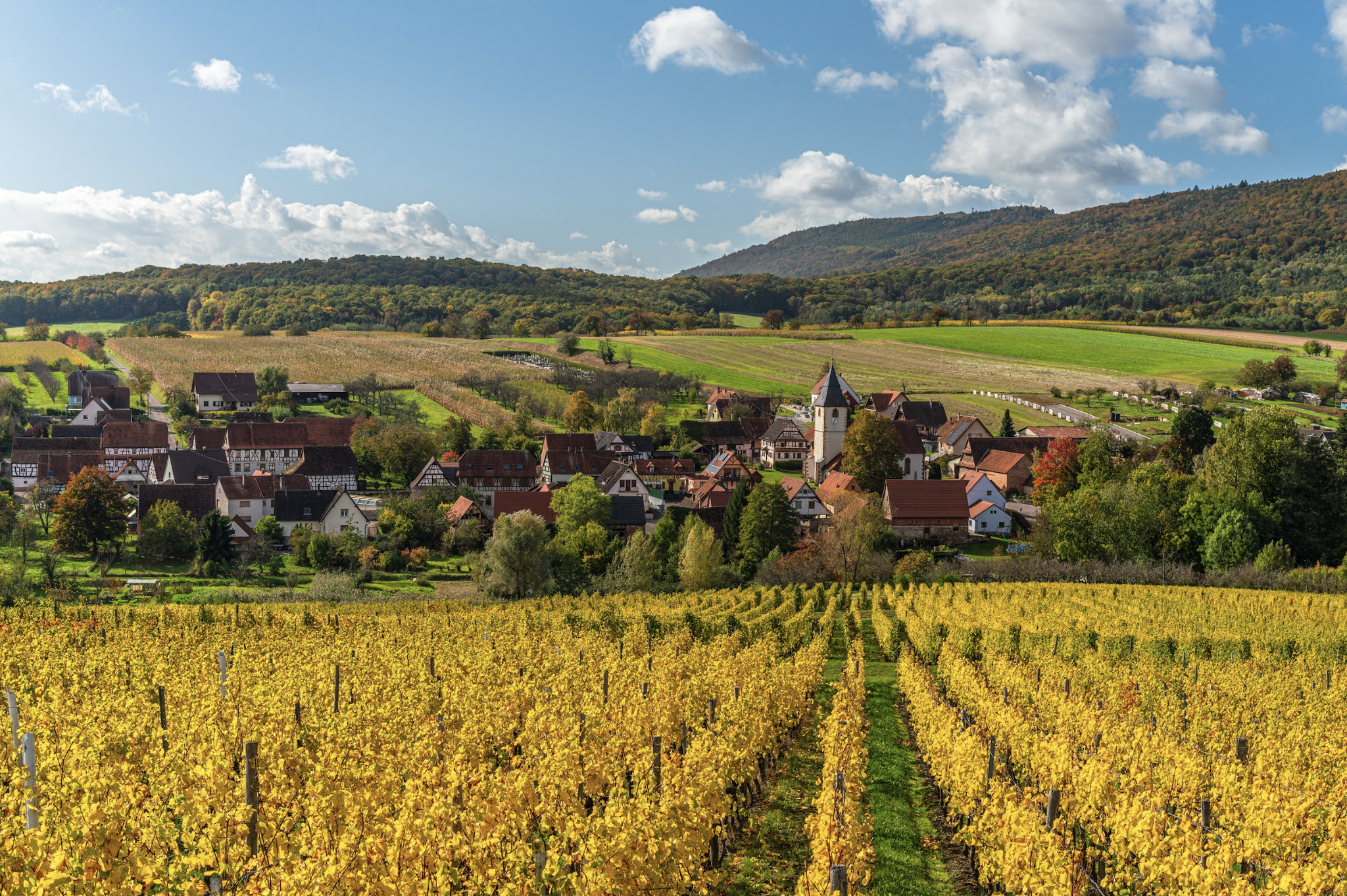
Hiking around Wörth An Der Sauer offers diverse terrain within the Palatinate Forest and Northern Vosges Regional Nature Park, a UNESCO Biosphere Reserve. The region is characterized by dense woodlands, low mountain ranges, and river valleys, with the Sauer River flowing through the municipality. Varied topography includes gentle plains, flattened hilltops, and distinctive red sandstone rock formations. This geological diversity creates engaging environments for outdoor activities.
Best hiking trails around Wörth An Der Sauer
- The most popular hiking route is…
Last updated: August 22, 2026
4.7
(36)
149
hikers
7.62km
02:03
100m
100m
Moderate hike. Good fitness required. Easily-accessible paths. Suitable for all skill levels.
4.0
(7)
31
hikers
19.4km
05:40
510m
510m
Hard hike. Very good fitness required. Easily-accessible paths. Suitable for all skill levels.

Sign up for free
3.9
(9)
23
hikers
11.5km
03:02
110m
110m
Moderate hike. Good fitness required. Easily-accessible paths. Suitable for all skill levels.
5.0
(3)
24
hikers
11.0km
03:14
310m
310m
Moderate hike. Good fitness required. Easily-accessible paths. Suitable for all skill levels.
5.0
(1)
20
hikers
7.86km
02:07
100m
100m
Moderate hike. Good fitness required. Easily-accessible paths. Suitable for all skill levels.
Get access to more routes and recommendations from other explorers.
Sign up for free
Already have an account?
Our route recommendations are based on thousands of hikes, rides, and runs completed by other people on komoot.
Start today with a free account
Your next adventure awaits.
Login or Signup

Other adventures around Wörth An Der Sauer

Tips from the Community

Lion eats eagle on a spit. On the pedestal, plaques were obviously removed.
1
0

Located on the Route de Wörth. Memories of August 8, 1870.
0
0

Well worth seeing, two imposing oak trees enclose the monument.
0
0
A wonderfully imposing building
0
0
Woerth still has many historic buildings worth seeing.
0
0
A very impressive lion in the landscape
1
0
Frequently Asked Questions
How many hiking trails are available around Wörth An Der Sauer?
There are over 20 hiking trails around Wörth An Der Sauer, offering a diverse range of experiences. You'll find routes suitable for various skill levels, from easy walks to more challenging treks through the region's varied landscapes.
What kind of terrain and difficulty can I expect on hikes around Wörth An Der Sauer?
The terrain around Wörth An Der Sauer is quite varied, reflecting its location within the Palatinate Forest and Northern Vosges Regional Nature Park. You can expect dense woodlands, gentle plains, river valleys along the Sauer River, and distinctive red sandstone rock formations. The trails range from easy paths to moderate and difficult routes, with 5 easy, 13 moderate, and 2 difficult trails available, ensuring options for all fitness levels.
Are there any historical landmarks or points of interest I can see while hiking?
Yes, the area is rich in history. Many hikes incorporate significant historical sites. For instance, the Battlefield of August 6, 1870 loop explores an area of historical importance. You can also visit Château du Loewenstein, Fleckenstein Castle, or Wasigenstein Castle, which are nearby attractions that can be incorporated into your hiking plans.
What do other hikers enjoy most about hiking in Wörth An Der Sauer?
The hiking routes in Wörth An Der Sauer are highly rated by the komoot community, with an average score of 4.5 stars from over 2700 reviews. Hikers often praise the well-maintained trails, the diverse natural beauty of the Palatinate Forest, and the opportunity to combine nature exploration with historical discovery.
Are there any family-friendly hiking options in the area?
Yes, Wörth An Der Sauer offers several family-friendly hiking options. Many of the 5 easy trails are suitable for families with children, providing accessible paths through the scenic woodlands and along the Sauer River. These routes are generally shorter and have less elevation gain, making them enjoyable for all ages.
Can I bring my dog on the hiking trails around Wörth An Der Sauer?
Generally, dogs are welcome on hiking trails in the Palatinate Forest region. However, it's always advisable to keep your dog on a leash, especially in nature reserves, near wildlife, or when passing through villages. Please ensure you clean up after your pet to maintain the natural beauty of the trails for everyone.
Are there circular hiking routes available?
Yes, many of the trails around Wörth An Der Sauer are designed as circular routes, allowing you to start and end your hike in the same location. Examples include the Woerth Castle – Elsasshausen Memorial Tower loop from Wœrth and the Woerth Castle – Frœschwiller loop from Wœrth, which offer convenient and scenic journeys.
What is the best time of year to go hiking in Wörth An Der Sauer?
The region is beautiful year-round, but spring and autumn are particularly popular for hiking. In spring, the forests come alive with fresh greenery and blooming wildflowers. Autumn offers stunning foliage colors. Summer is also pleasant, especially in the shaded woodlands, while winter can provide peaceful, snow-covered landscapes for those who enjoy colder weather hiking.
Are there places to eat or stay near the hiking trails?
Wörth An Der Sauer and its surrounding villages offer various options for refreshments and accommodation. You'll find local restaurants, cafes, and guesthouses where you can relax and refuel after your hike. It's a good idea to check local listings for specific establishments and their opening hours.
What natural features can I expect to see on the trails?
The region is part of a UNESCO Biosphere Reserve, offering a rich array of natural features. You'll encounter dense woodlands, the scenic Sauer River, and diverse topography including gentle plains, low mountain ranges, and unique red sandstone rock formations. Keep an eye out for natural monuments and picturesque lakes that dot the landscape.
Is public transport available to reach hiking trailheads?
While specific public transport connections to every trailhead can vary, Wörth An Der Sauer is generally accessible. Local bus services connect the municipality with surrounding areas. For detailed information on routes and schedules to specific starting points, it's best to consult local transport providers.
Are there any challenging long-distance hikes in the area?
Yes, for experienced hikers seeking a challenge, there are more demanding routes. For example, the Wliep Pass – Soultzerkopf Hut loop from Gœrsdorf is a difficult 19.4 km (12 miles) trail with significant elevation gain, offering a more strenuous adventure through the Palatinate Forest.
Most popular routes around Wörth An Der Sauer
Most popular attractions around Wörth An Der Sauer

Get inspired with the komoot mobile app


Explore more
Browse the best Hikes in other regions.
