The best cycling routes around Wörth An Der Sauer
4.8
(112)
801
riders
46
rides
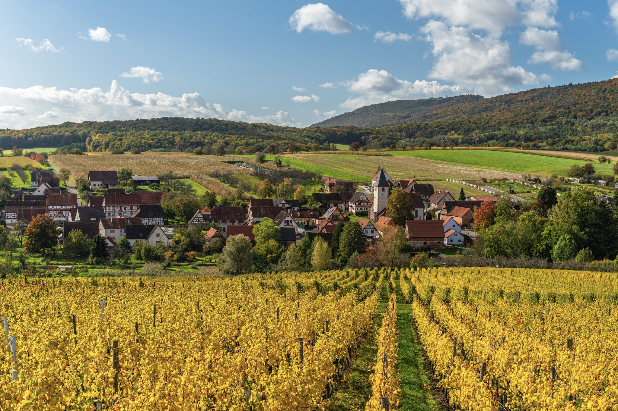
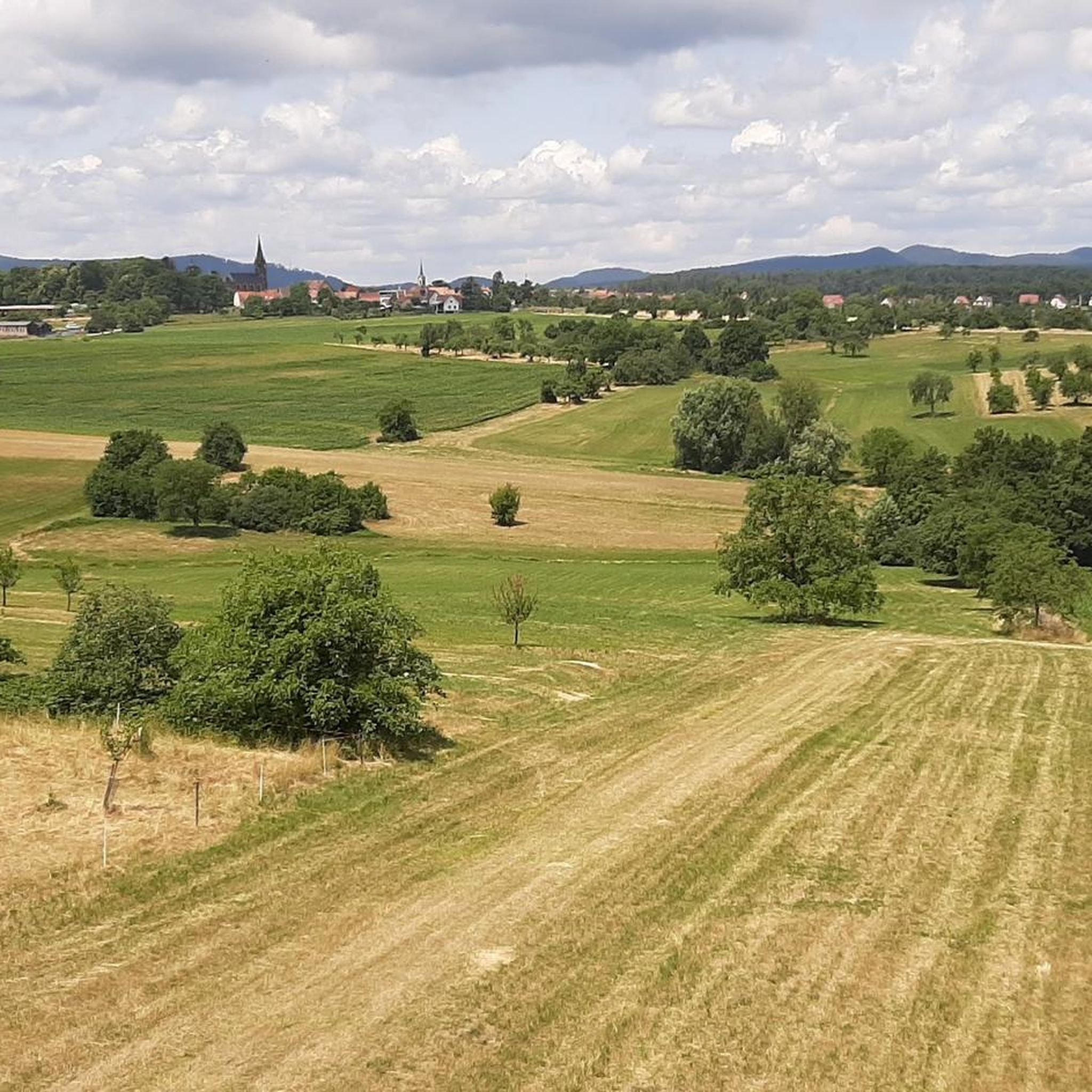
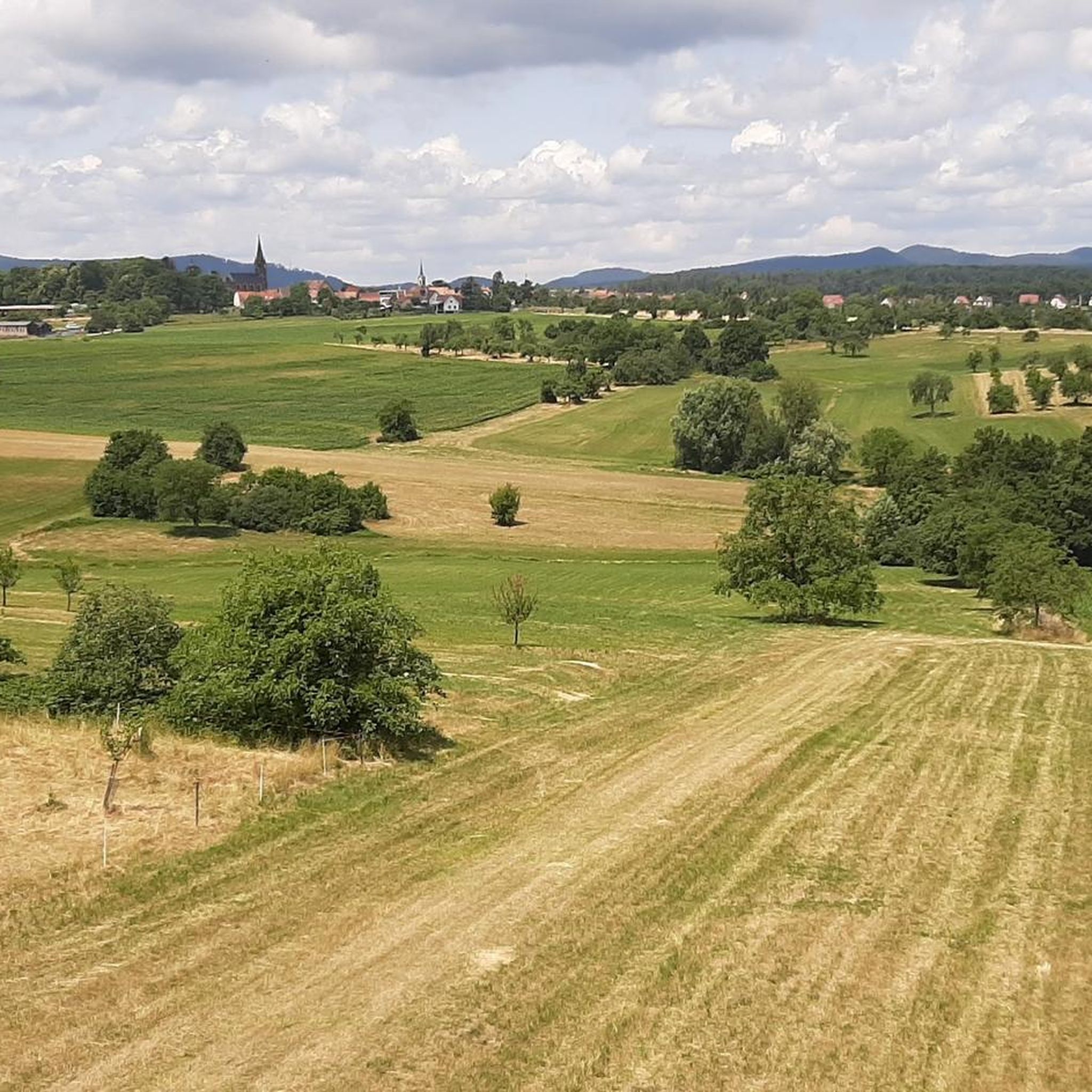
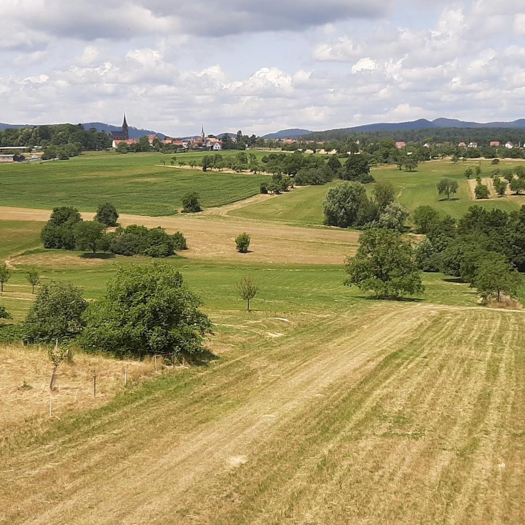
Touring cycling around Wörth An Der Sauer is characterized by its location in the Bas-Rhin department, offering diverse landscapes along the Sauer river. The region is situated at the foot of the southern Palatinate Forest (Hochwald) and within the Northern Vosges Regional Nature Park. This area features varied topography, including dense forests, expansive meadows, and rolling hills, with some routes traversing impressive rock formations.
Best touring cycling routes around Wörth An Der Sauer
- The most popular touring cycling route is…
Last updated: July 9, 2026
4.6
(48)
229
riders
49.6km
02:49
140m
140m
Moderate bike ride. Good fitness required. Mostly paved surfaces. Suitable for all skill levels.
4.9
(7)
40
riders
59.1km
03:48
750m
750m
Hard bike ride. Very good fitness required. Mostly paved surfaces. Suitable for all skill levels.

Sign up for free
4.8
(9)
43
riders
35.9km
02:13
280m
280m
Moderate bike ride. Good fitness required. Mostly paved surfaces. Suitable for all skill levels.
4.7
(3)
44
riders
36.8km
02:15
310m
310m
Moderate bike ride. Good fitness required. Mostly paved surfaces. Suitable for all skill levels.
4.2
(5)
32
riders
42.6km
02:43
520m
520m
Hard bike ride. Very good fitness required. Mostly paved surfaces. Suitable for all skill levels.
Get access to more routes and recommendations from other explorers.
Sign up for free
Already have an account?
Our route recommendations are based on thousands of hikes, rides, and runs completed by other people on komoot.
Start today with a free account
Your next adventure awaits.
Login or Signup

Other adventures around Wörth An Der Sauer

Tips from the Community

Here stands a former customs post hut (Zöllnerschutzhütte) at a former "restricted and temporarily guarded authorized border crossing point for local border traffic" between Nothweiler (D) and Wingen (F). "The border was finally established in 1826 between France and Germany (then the Kingdom of Bavaria). [...] In the years 1871 to 1918 and 1939 to 1945, the border had no significance. The [customs guard] hut was built in 1969. The residences of the customs officers and their families were located from 1922 in Hauptstraße 5 and from 1937 in Hauptstraße 34. On January 1, 1993, border controls were discontinued due to the EU's Schengen Agreement." Source (quoted verbatim): Information board on site
1
0

Great to ride and nice and quiet
0
0

A place worth seeing, a good place to take a break
0
0
Woerth still has many historic buildings worth seeing.
0
0
Here you can take a break
0
0

Beautiful spot. Unfortunately, there's no bench to rest on.
1
0

Nicely arranged. Parking, picnic tables, and numerous information boards. And a small boules court.
1
0
Very beautiful here. And nice and quiet. Highly recommended!
2
0
Frequently Asked Questions
How many touring cycling routes are available around Wörth An Der Sauer?
There are over 40 touring cycling routes available around Wörth An Der Sauer, offering a wide variety of experiences for cyclists of all levels. The komoot community has explored more than 700 of these routes.
What are the different difficulty levels for touring cycling routes in the region?
The routes around Wörth An Der Sauer cater to various skill levels. You'll find 8 easy routes, 18 moderate routes, and 17 difficult routes. This ensures options for a relaxed ride along the river or a more challenging ascent through the hills.
Are there any easy touring cycling routes suitable for beginners or a relaxed ride?
Yes, there are 8 easy touring cycling routes in the area. Many of these follow the Sauer River Path, which is often asphalted and passes through picturesque villages and vineyards, making for a relaxed journey. For example, the Lembach village centre – Sauer River Path loop from Wœrth is a moderate route that offers a pleasant ride along the river.
What kind of landscapes can I expect to see while touring cycling around Wörth An Der Sauer?
Touring cycling around Wörth An Der Sauer offers diverse landscapes. You'll primarily follow the scenic Sauer River valley, passing through charming villages and vineyards. Beyond the riverbanks, routes traverse dense forests, expansive meadows, and rolling hills, with some sections featuring impressive rock formations within the Northern Vosges Regional Nature Park.
Are there any historical castles or landmarks I can visit along the cycling routes?
Absolutely. The region is rich in history and features several castles. You can explore the well-preserved Hohenbourg Castle, the intriguing ruins of Château du Loewenstein, or the impressive Fleckenstein Castle. Many routes offer views of these historic sites, and some pass directly by them.
Are there any circular touring cycling routes in Wörth An Der Sauer?
Yes, many of the touring cycling routes in Wörth An Der Sauer are designed as loops, allowing you to start and end in the same location. Examples include the Krummstein forest road – Gruendel Pond loop from Gœrsdorf and the Sauer River Path – Fleckenstein Pond loop from Gœrsdorf.
What are some notable natural features or viewpoints accessible by touring bike?
Beyond the Sauer River itself, the region is part of the Northern Vosges Regional Nature Park, offering a protected and biodiverse environment. Cyclists can encounter impressive rock formations, particularly in areas like the Hölltal and Dahner Felsenland. You might also pass by serene bodies of water such as Gruendel Pond or Reichshoffen Pond.
Are there any family-friendly touring cycling options in the area?
While specific family-designated cycling routes are not highlighted in the immediate vicinity of Wörth An Der Sauer, the easier sections of the Sauer River Path, with their asphalted surfaces and gentle gradients, are generally suitable for families. For an engaging outdoor experience, the nearby "Bollendorfer Märchenpfad" (Bollendorf Fairy Tale Path) offers a blend of nature and cultural elements, though it's primarily a hiking route.
What do other touring cyclists enjoy most about touring cycling in Wörth An Der Sauer?
The area is highly rated by the komoot community, with an average score of 4.8 stars from over 80 reviews. Reviewers often praise the diverse landscapes, from the tranquil river valleys to the dense forests and rolling hills, as well as the well-maintained paths and the opportunity to explore charming villages and historical sites.
Is there a specific route that follows the Sauer River for a longer distance?
Yes, the Sauer Valley Cycle Route is a prominent feature, allowing for extensive exploration of charming villages and vineyards along the Sauer River. This route extends into Luxembourgish territory, offering a relaxed journey through both French and Luxembourgish landscapes. You can find more information about the Sauer Valley Cycle Route on visitechternach.lu.
Are there any routes that incorporate historical elements like the Maginot Line?
Yes, the region has historical significance. A notable route, the BR39 Vallée de la Sauer et ses stations thermales, a 74 km route for confirmed cyclists, utilizes sections of the former Maginot Line railway bed along the Sauer. This offers a unique blend of cycling and historical exploration. You can learn more about this route on visit.alsace.
What is the best time of year to go touring cycling in Wörth An Der Sauer?
While specific seasonal recommendations are not provided, the varied landscapes of river valleys, forests, and hills suggest that spring and autumn would offer pleasant temperatures and beautiful scenery. Summer is also suitable, especially for routes along the river, though forest sections would provide welcome shade.
Are there any challenging routes for experienced touring cyclists?
Yes, for experienced touring cyclists seeking a challenge, there are 17 difficult routes available. An example is the Saarbacherhammer Pond – Jaegerthal loop from Gœrsdorf, which is a 32.9-mile (52.9 km) path with significant elevation changes, passing by ponds and through valleys.
Most popular routes around Wörth An Der Sauer
Most popular attractions around Wörth An Der Sauer

Get inspired with the komoot mobile app


Explore more
Browse the best Cycling routes in other regions.
