The best mountain hikes around Allonzier-La-Caille
4.6
(35)
167
hikers
5
hikes
Mountaineering routes Allonzier-La-Caille are situated in the Haute-Savoie department of France, characterized by diverse mountainous terrain and significant limestone cliffs. The region features deep Gorges des Usses to the north and includes notable elevations like the Crêt de la Dame, a hill reaching 887 meters. This area offers a preserved natural setting for outdoor activities, with routes traversing varied landscapes.
Best mountaineering routes around Allonzier-La-Caille
- The most popular mountaineering route is Le Grand Montoir – Le Petit Montoir loop from…
Last updated: June 27, 2026
5.0
(4)
29
hikers
9.37km
04:15
660m
660m
Hard mountaineering route. Good fitness required. Sure-footedness, sturdy shoes and alpine experience required.
4.3
(6)
21
hikers
15.7km
07:17
1,180m
1,180m
Hard mountaineering route. Very good fitness required. Sure-footedness, sturdy shoes and alpine experience required.

Sign up for free
5.0
(1)
12
hikers
8.04km
03:51
640m
640m
Hard mountaineering route. Good fitness required. Sure-footedness, sturdy shoes and alpine experience required.
8
hikers
1.97km
00:59
190m
190m
Hard mountaineering route. Great for any fitness level. Sure-footedness, sturdy shoes and alpine experience required.
5.0
(1)
4
hikers
15.4km
06:11
860m
860m
Hard mountaineering route. Very good fitness required. Mostly accessible paths. Sure-footedness required.
Our route recommendations are based on thousands of hikes, rides, and runs completed by other people on komoot.
Start today with a free account
Your next adventure awaits.
Login or Signup
Tips from the Community

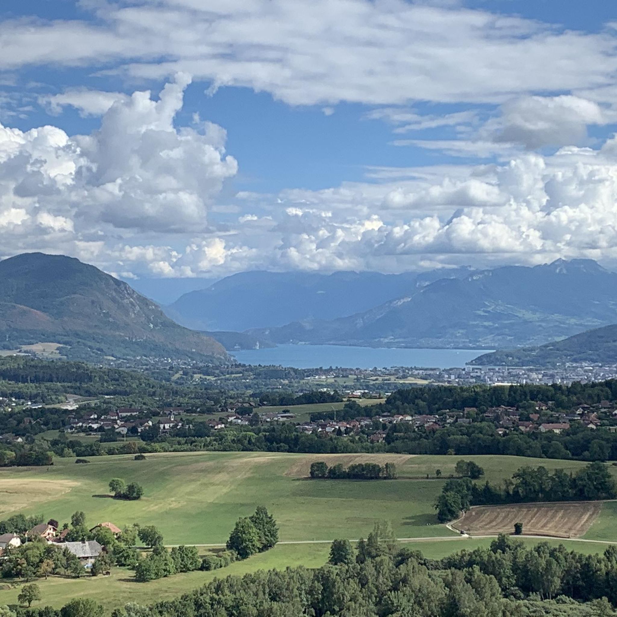
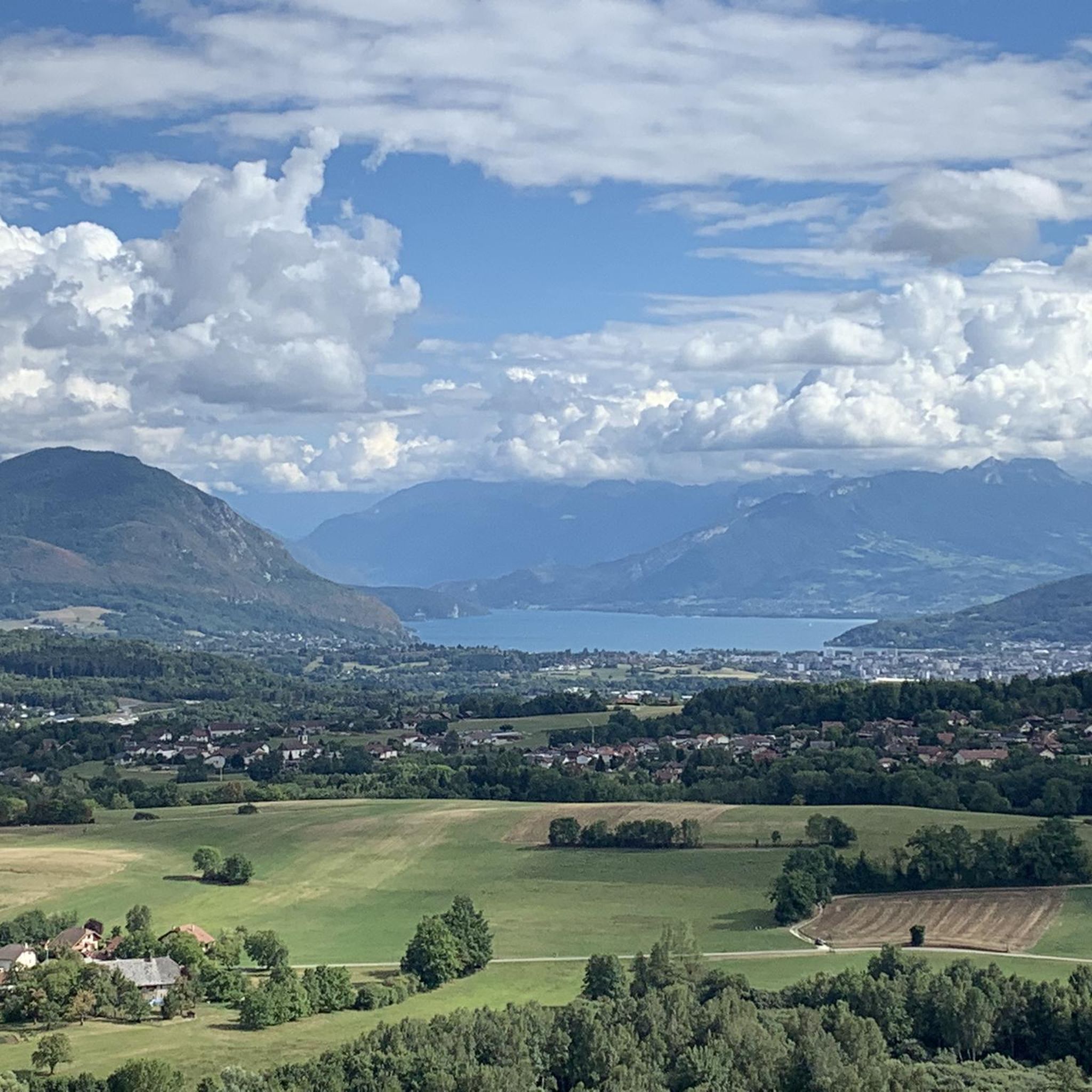
Breathtaking and incredible view of the Annecy basin.
0
0

Please note that since 2024, a decree prohibits access to the parking lot and prevents parking along the road. They pass by and issue fines otherwise.
0
0

A great chalet run by a very kind family and where we were able to buy fresh tomme cheese.
0
0
A bit dizzying but when the weather conditions are good and you watch where you put your feet, everything is fine!
0
0

Overcrowded, closed parking lots
0
0

magnificent hike on Mont Veyrier offering sublime views
1
0

Views and vistas to rave about.
1
1
Frequently Asked Questions
What kind of terrain can I expect on mountaineering routes around Allonzier-La-Caille?
Mountaineering routes in Allonzier-La-Caille traverse diverse mountainous terrain, characterized by significant limestone cliffs and deep gorges, particularly the Gorges des Usses to the north. You'll encounter varied landscapes, from ascents through forested areas to more exposed sections with expansive views.
Are there any family-friendly mountaineering routes in Allonzier-La-Caille?
The mountaineering routes listed for Allonzier-La-Caille are generally considered difficult, making them less suitable for young children or those seeking very easy family outings. However, the base of the renowned rock climbing site, the Falaise d'Allonzier la Caille, is noted as suitable for young children, offering a different outdoor experience.
What are some notable natural features or viewpoints I can discover on these routes?
The region offers several impressive natural features and viewpoints. You can find stunning vistas from highlights like Lachat Mountain - viewpoint and Breathtaking view of the lake and mountains. The Le Mont de Musièges also provides scenic views of Mont Vuache and the Usses valley.
What is the best time of year for mountaineering in Allonzier-La-Caille?
The Haute-Savoie region, including Allonzier-La-Caille, is generally best for mountaineering during warmer months when trails are clear of snow and ice. While the rock climbing site can be used in winter without wind, snow, or water seepage, general mountaineering routes may be challenging due to snow and ice conditions. Always check local conditions before heading out.
Are there any circular mountaineering routes available?
Yes, several routes are designed as loops. For example, you can explore the Le Grand Montoir – Le Petit Montoir loop from Crêt Châtillon, which is a difficult 9.3 km route. Another option is the Le Grand Montoir loop from Crêt Châtillon, covering 7.7 km.
What are the typical durations for mountaineering routes in this area?
The duration of routes varies depending on their length and elevation gain. For instance, the Le Grand Montoir – Le Petit Montoir loop from Crêt Châtillon typically takes around 4 hours and 13 minutes, while the longer Tête du Parmelan – Le Grand Montoir loop from Villaz can take approximately 7 hours and 17 minutes.
What are the elevation gains like on mountaineering routes near Allonzier-La-Caille?
Mountaineering routes in this region feature significant elevation gains. For example, the Tête du Parmelan – Le Grand Montoir loop from Villaz involves an ascent of nearly 1180 meters. Even shorter routes like the Le Grand Montoir loop from Crêt Châtillon still have a substantial climb of around 639 meters.
Are there any specific attractions or landmarks near the mountaineering routes?
Beyond the natural beauty, the area is famous for the impressive Ponts de la Caille over the Usses river. The historic Pont Charles Albert and the newer Pont Caquot are prominent landmarks. While not directly on the mountaineering routes, they are significant points of interest in the broader region.
What do other mountaineers say about the routes in Allonzier-La-Caille?
The mountaineering routes around Allonzier-La-Caille are highly rated by the komoot community, with an average score of 4.6 stars from over 30 reviews. Mountaineers often praise the challenging nature of the trails and the expansive views of the surrounding alpine landscape.
Are there any shorter, yet still challenging, mountaineering options?
Yes, if you're looking for a shorter but still difficult experience, the Ferrata Pomiers loop from Chartreuse de Pomier is a 1.9 km route with an elevation gain of about 187 meters. It offers a different kind of challenge within the mountaineering category.
What is the highest point I can reach on a mountaineering route in this guide?
While specific peak names for the highest points on these routes aren't detailed, the region features notable elevations like the Crêt de la Dame, reaching 887 meters. Routes like the Tête du Parmelan – Le Grand Montoir loop from Villaz offer significant elevation gain, leading to expansive views of the alpine landscape.
Can I find routes that offer views of Lake Annecy?
Yes, the strategic location near Annecy means some routes provide views of the lake. For example, the Mount Baron – View of the Aravis and Bauges loop from Annecy-le-Vieux offers phenomenal views of Lake Annecy and the surrounding mountains. You can also find specific viewpoints like Breathtaking view of the lake and mountains.
Most popular routes around Allonzier-La-Caille
Most popular attractions around Allonzier-La-Caille

Get inspired with the komoot mobile app


Explore more
Browse the best Mountain Hikes & Routes in other regions.
