The best road cycling routes around Allonzier-La-Caille
4.6
(968)
41,278
riders
217
rides
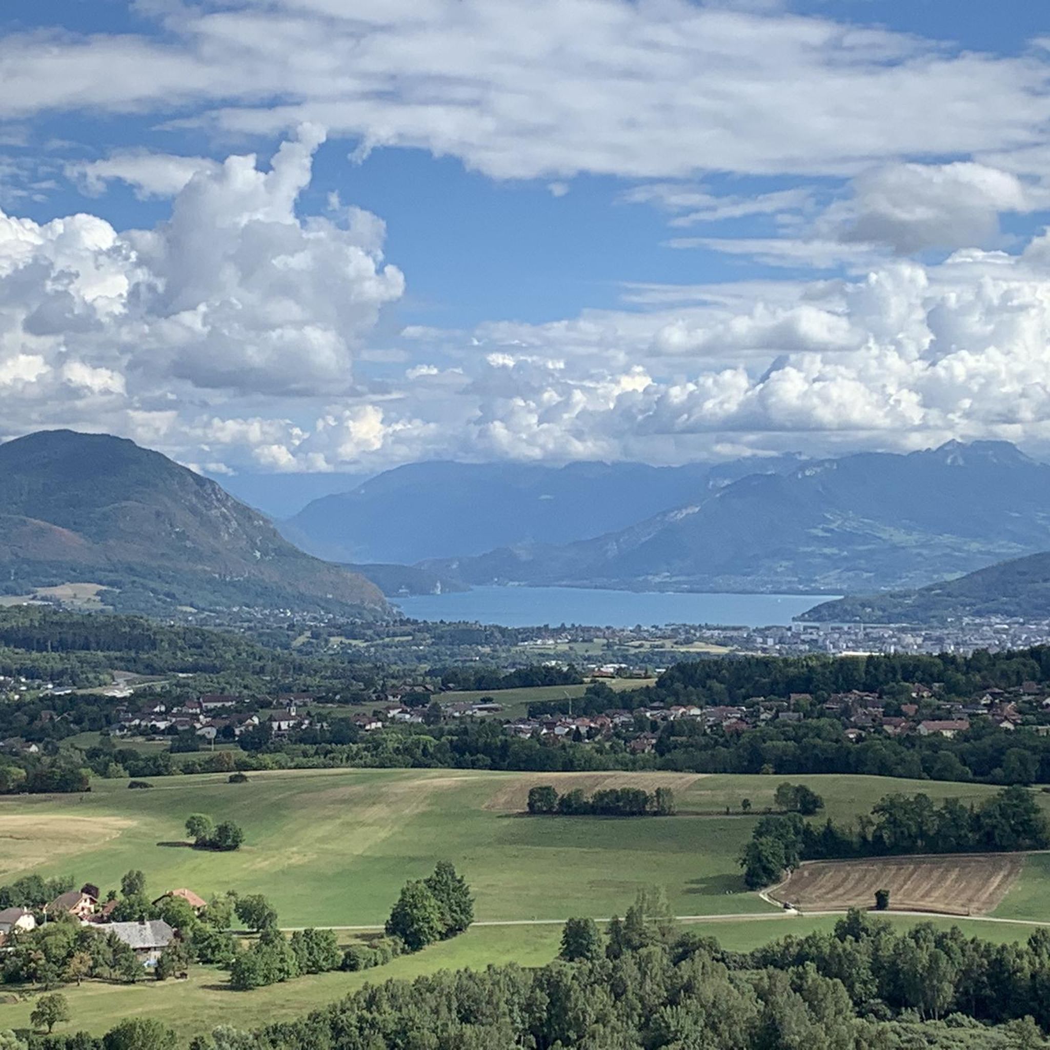
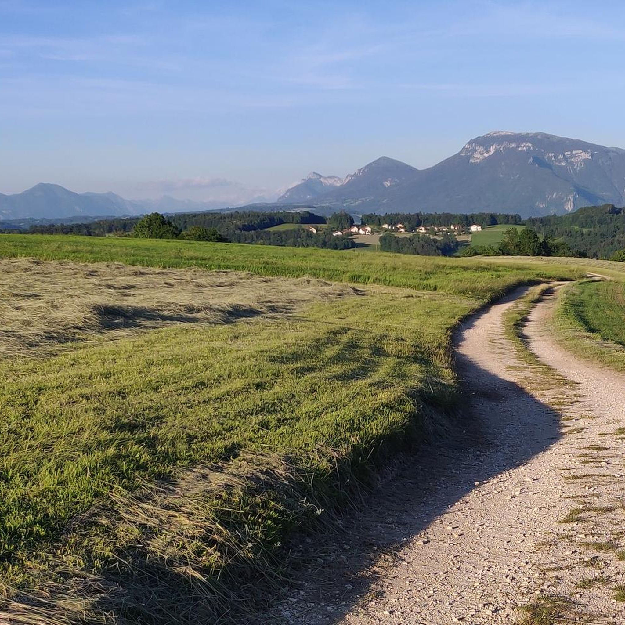
Road cycling routes around Allonzier-La-Caille traverse a diverse landscape in the Haute-Savoie department of France. The region features rolling countryside and hills at lower altitudes, making it suitable for various skill levels. Deep gorges, such as the Gorges des Usses, and impressive bridges like the Ponts de la Caille, are prominent natural and man-made features. Cyclists can also experience mountainous panoramas, with views of peaks like Mont Veyrier and the Massif des Bauges.
Best road cycling routes around Allonzier-La-Caille
- The…
Last updated: May 25, 2026
4.5
(6)
38
riders
32.6km
01:49
630m
630m
Moderate road ride. Good fitness required. Mostly well-paved surfaces and easy to ride.
4.5
(6)
124
riders
46.2km
02:21
780m
770m
Moderate road ride. Good fitness required. Some segments of this route may be unpaved and difficult to ride.

Sign up for free
4.3
(3)
93
riders
Hard road ride. Very good fitness required. Mostly well-paved surfaces and easy to ride.
3.0
(1)
27
riders
66.3km
03:34
1,300m
1,310m
Hard road ride. Very good fitness required. Mostly well-paved surfaces and easy to ride.
27
riders
35.6km
01:52
650m
650m
Moderate road ride. Good fitness required. Mostly well-paved surfaces and easy to ride.
Get access to more routes and recommendations from other explorers.
Sign up for free
Already have an account?
Our route recommendations are based on thousands of hikes, rides, and runs completed by other people on komoot.
Start today with a free account
Your next adventure awaits.
Login or Signup
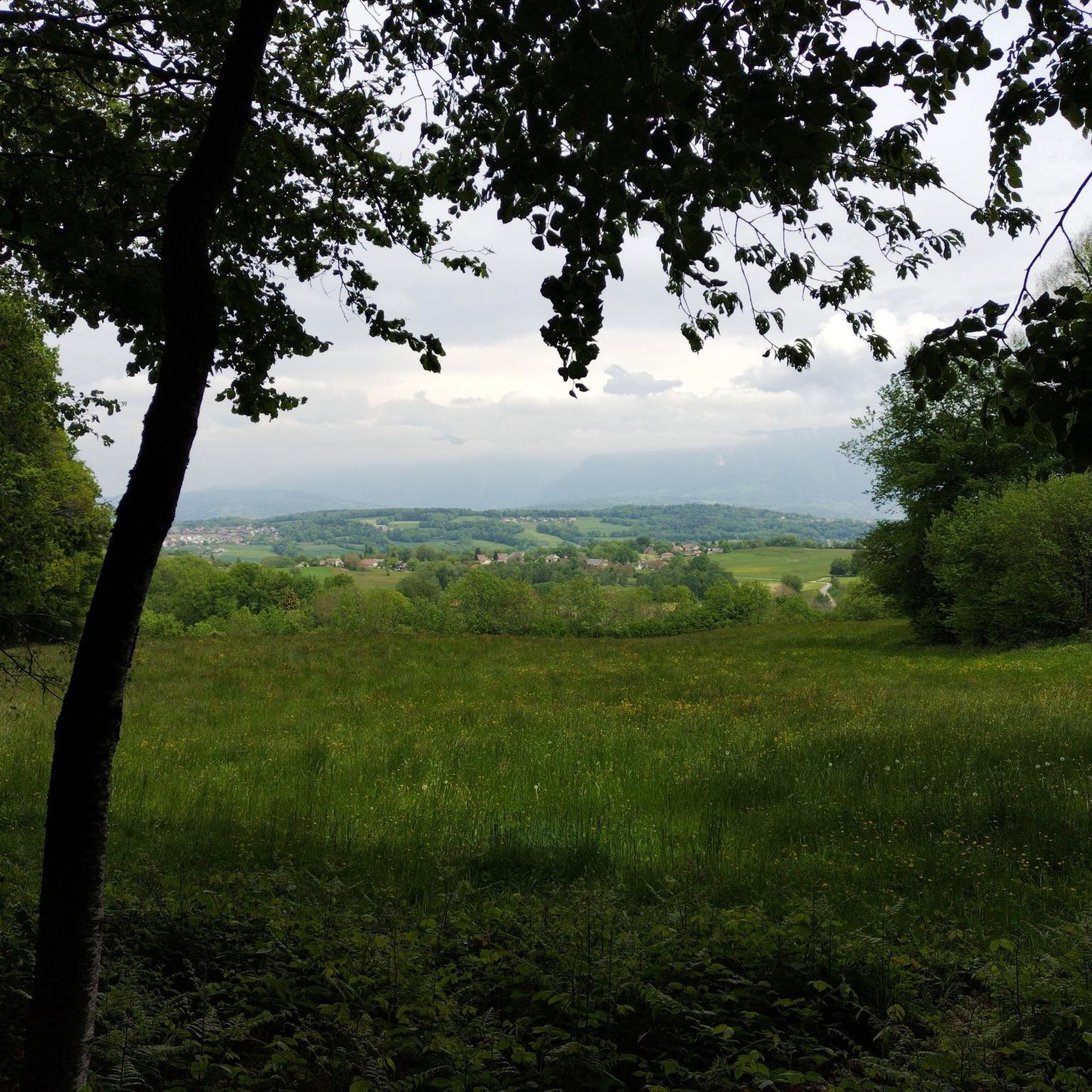
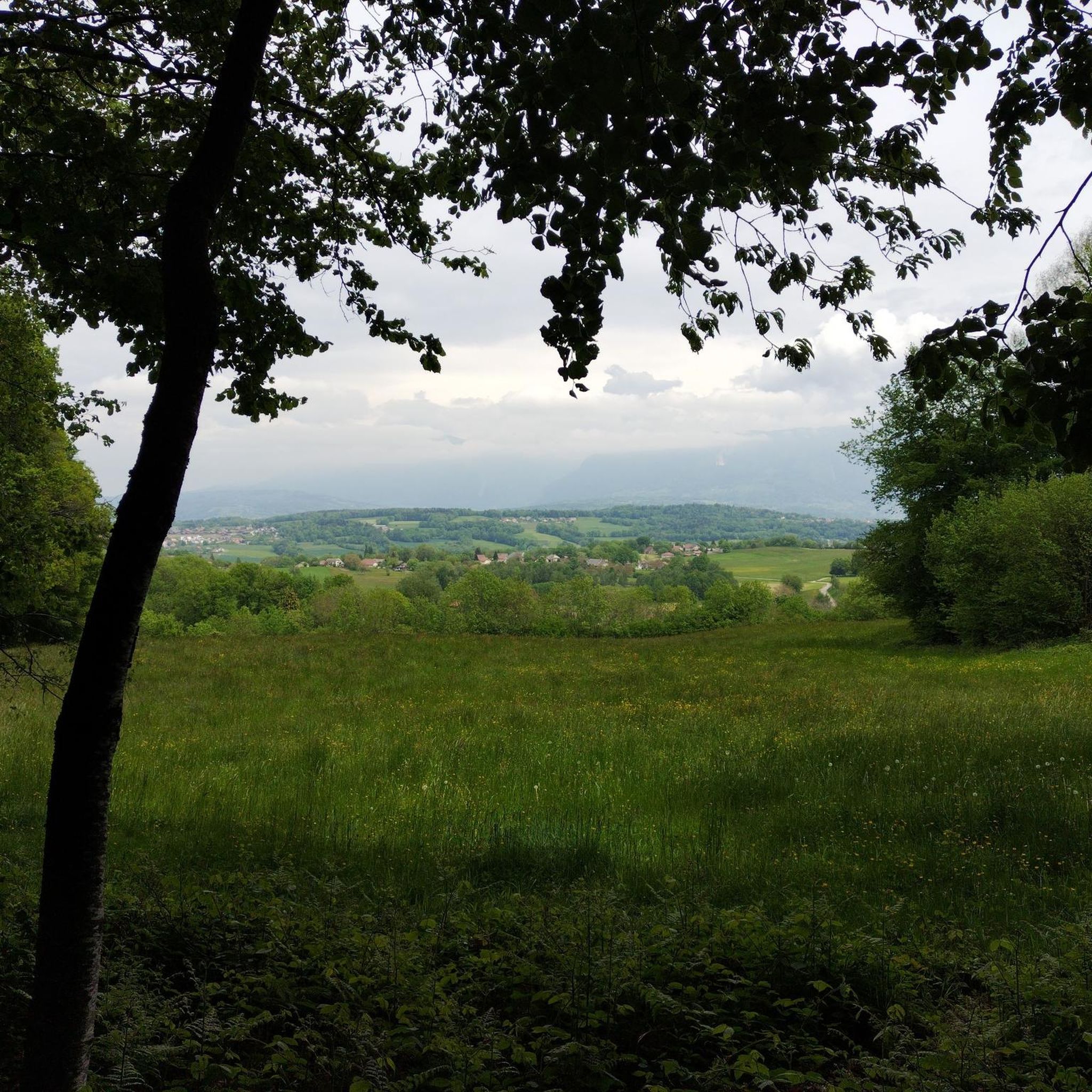
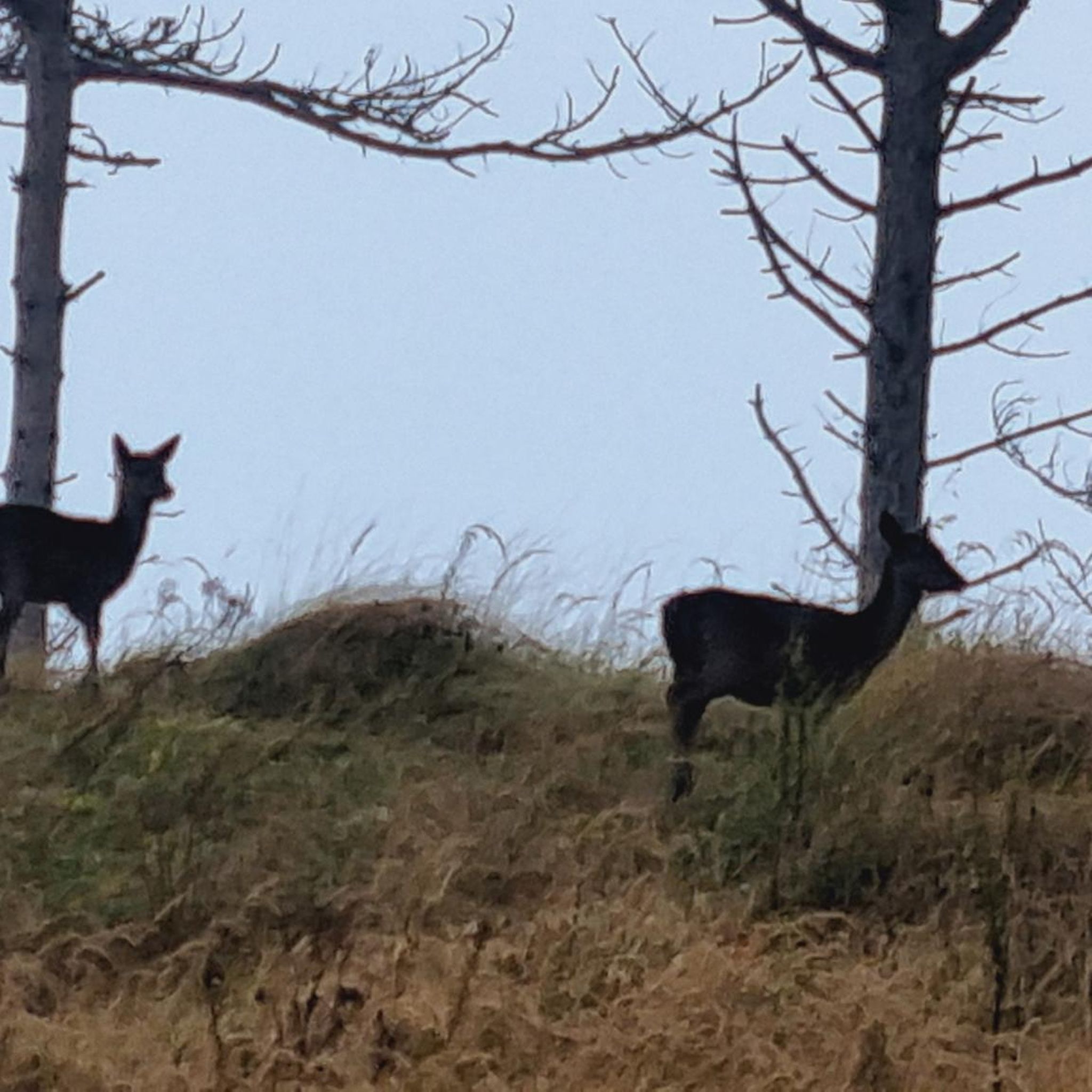

Tips from the Community

A beautiful route between Yvoire and Annecy mostly via cycle paths and country roads.
0
0

Magnificent fresco in homage to the resistance fighters of the Glières plateau.
0
0

This lake is divided into a large lake and a small canal. Trout fishing is practiced here, as well as carp fishing. Special permits are available in several shops and bars in town. Main fish: rainbow trout, carp, roach, bream, catfish, pike, perch, etc. Depth: generally 1.5m to 2m, but near the dike, it can be between 4 and 5m.
1
0
Intersection point les Dronières (Parking) Altitude 790m
1
0
Intersection point Les Dronières Altitude 790m
1
0

worth to go, but it's if it's to go on the plateau, it's nicer the other way up!
0
1

Was our rescue after the hail, small bistro with many different beers
0
0
Very beautiful crossing with a huge gorge
0
0
Frequently Asked Questions
How many road cycling routes are available around Allonzier-La-Caille?
There are over 200 road cycling routes around Allonzier-La-Caille, offering a wide variety of options for cyclists of all levels. The komoot community has explored more than 218 routes in the area.
What are the typical difficulty levels for road cycling routes in this region?
The region offers a diverse range of routes. You'll find approximately 27 easy routes, 112 moderate routes, and 79 difficult routes, ensuring there's something for every skill level, from leisurely rides to challenging climbs.
What is the best time of year for road cycling around Allonzier-La-Caille?
The rolling countryside and hills at lower altitudes make Allonzier-La-Caille particularly enjoyable for shoulder-season rides. Spring and autumn generally offer pleasant temperatures and beautiful scenery, though summer is also popular.
Are there any iconic landmarks or natural features to see while road cycling near Allonzier-La-Caille?
Absolutely! The area is famous for the impressive Ponts de la Caille, including the historic Pont Charles-Albert and the modern Pont Caquot, spanning the dramatic Gorges des Usses. You'll also encounter stunning views of Lake Annecy and various mountain peaks like Mont Veyrier and the Massif des Bauges.
Which routes offer the best panoramic views?
For expansive vistas, consider routes that climb into the higher terrain. The View of the Mountain Peaks – Col des Fleuries loop from Allonzier-la-Caille is a difficult route specifically designed to showcase mountainous panoramas. You can also find breathtaking views from highlights like Lachat Mountain - viewpoint.
Can I cycle on the historic Pont Charles-Albert?
Yes, the historic Pont Charles-Albert, an impressive suspension bridge dating from 1839, is now exclusively reserved for pedestrians and cyclists. It offers a unique and safe riding experience over the Usses torrent.
Are there any easy or beginner-friendly road cycling routes?
While many routes feature rolling hills, there are around 27 easy routes available. The region's lower altitudes and rolling countryside can be suitable for beginners, especially if you choose routes with less elevation gain. Look for routes described as 'easy' on komoot.
Are there challenging climbs for advanced road cyclists?
Yes, for more athletic cyclists seeking a challenge, the region provides access to significant climbs. Nearby, you can tackle famous ascents such as the Col de la Colombière and the Col de la Forclaz, offering rewarding views for your efforts.
Are there circular road cycling routes around Allonzier-La-Caille?
Many of the road cycling routes in the area are designed as loops. For example, the Col de la Frétallaz — loop on the plateau des Bornes sud and the Caille Bridge – Col des Fleuries loop from Cruseilles are popular circular options.
What is the typical duration of road cycling routes in the area?
Route durations vary widely depending on distance and elevation. A moderate route like the Col de la Frétallaz — loop on the plateau des Bornes sud typically takes around 1 hour 49 minutes, while more difficult and longer routes, such as the Caille Bridge – Col des Fleuries loop from Allonzier-la-Caille, can take over 3.5 hours.
Are there family-friendly road cycling options near Allonzier-La-Caille?
While specific 'family-friendly' road routes are not explicitly highlighted in the data, the proximity to Lake Annecy suggests access to its renowned cycling paths, which are generally very suitable for families. The historic Pont Charles-Albert, being pedestrian and cyclist-friendly, also offers a safe and unique experience.
What do other road cyclists enjoy the most about road cycling in Allonzier-La-Caille?
The area is highly rated by the komoot community, with an average score of 4.6 stars from over 950 reviews. Cyclists often praise the diverse terrain, from rolling countryside to challenging climbs, and the stunning natural features like the Gorges des Usses and panoramic mountain views.
Are there any historical sites accessible by road bike?
Yes, the region has historical points of interest. You can explore the ruins of the Bains de la Caille, former thermal baths nestled in the Gorge des Usses. Additionally, the 13th-century Château de Montrottier is a nearby historical attraction that can be incorporated into a cycling tour.
Most popular routes around Allonzier-La-Caille
Most popular attractions around Allonzier-La-Caille

Get inspired with the komoot mobile app


Explore more
Browse the best Road cycling routes in other regions.
