The best cycling routes around Rondefontaine
4.1
(132)
1,988
riders
147
rides
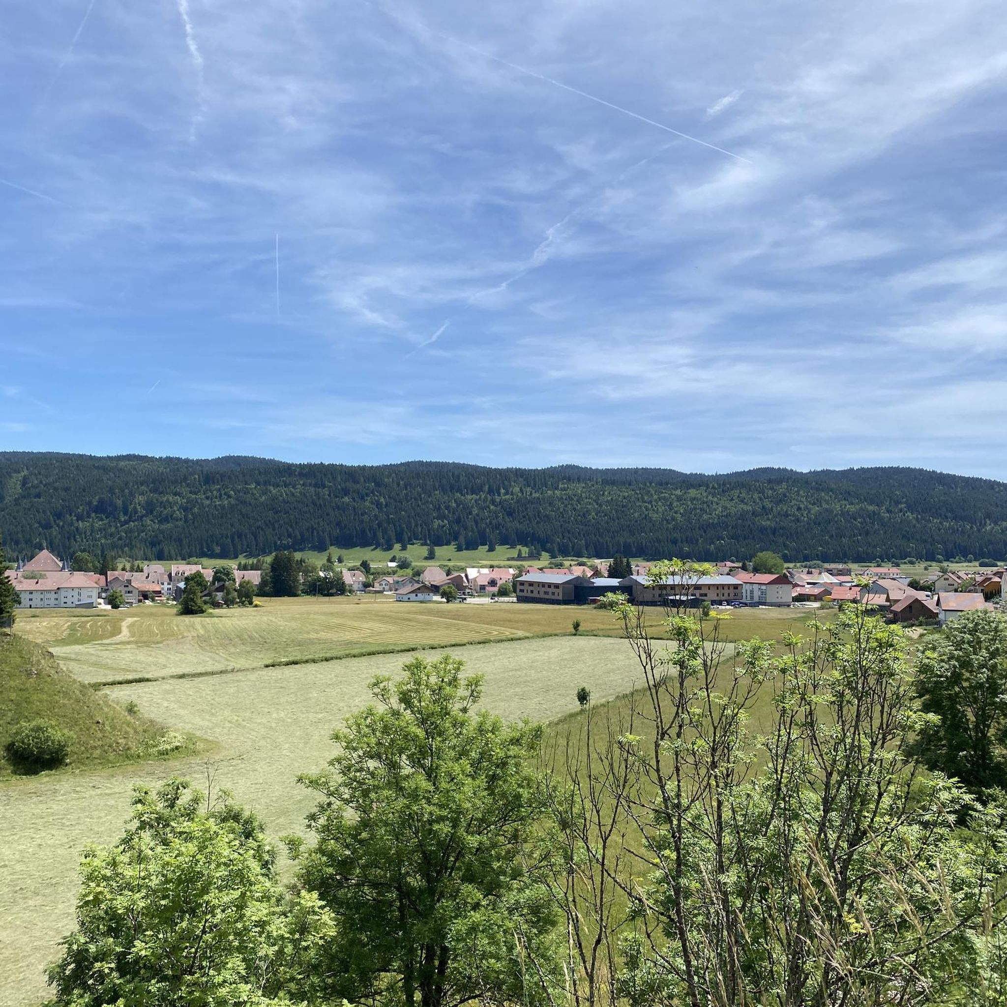
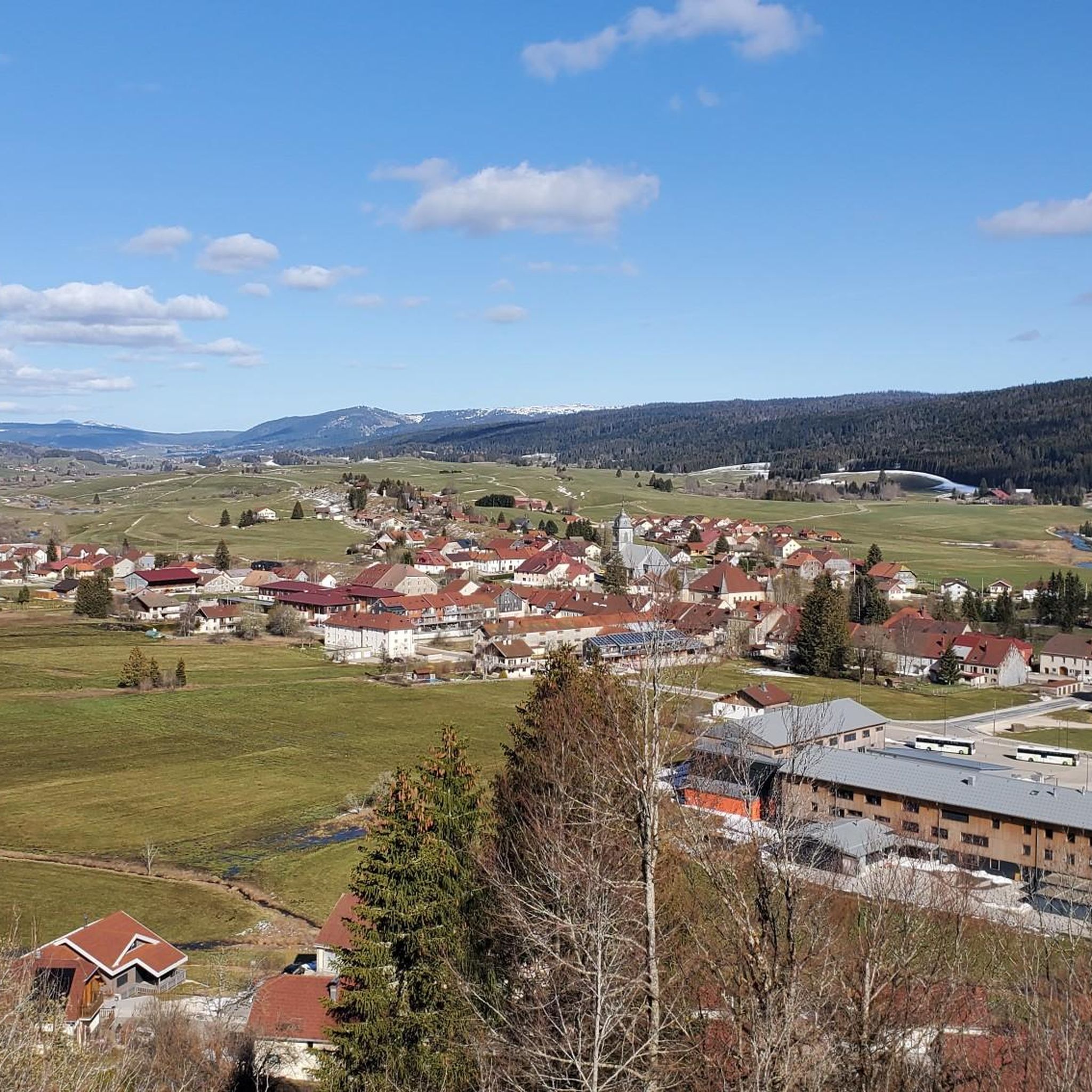
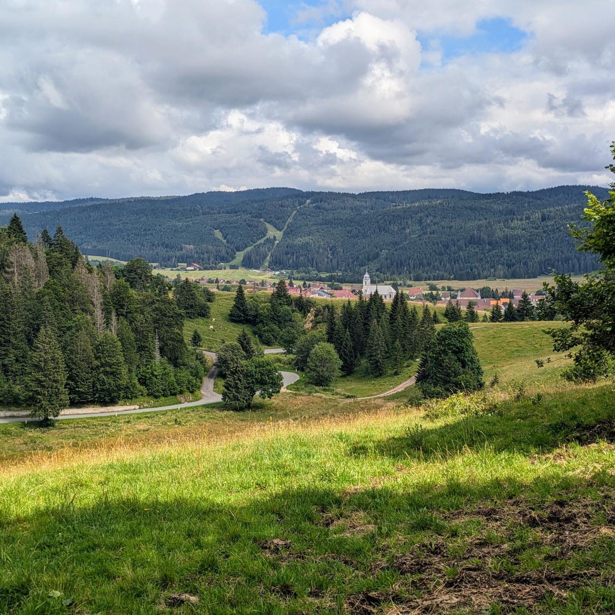
Touring cycling around Rondefontaine offers routes through a landscape characterized by lakes, river sources, and alpine pastures. The region features varied terrain, including forested areas and ascents to cols. Cyclists can expect paths that traverse both open country and more sheltered sections. This area provides a mix of natural features suitable for different cycling preferences.
Best touring cycling routes around Rondefontaine
- The most popular touring cycling route is Lake Remoray – Route du Lac de Saint-Point loop from Mouthe,…
Last updated: July 7, 2026
4.5
(4)
94
riders
61.9km
03:45
520m
520m
Hard bike ride. Very good fitness required. Mostly paved surfaces. Suitable for all skill levels.
19
riders
42.6km
02:51
670m
670m
Hard bike ride. Very good fitness required. Mostly paved surfaces. Suitable for all skill levels.

Sign up for free
5.0
(1)
16
riders
74.5km
04:53
1,040m
1,040m
Hard bike ride. Very good fitness required. Mostly paved surfaces. Suitable for all skill levels.
28
riders
88.1km
05:50
1,270m
1,270m
Hard bike ride. Very good fitness required. Mostly paved surfaces. Suitable for all skill levels.
5.0
(1)
18
riders
26.5km
02:13
410m
410m
Moderate bike ride. Good fitness required. Mostly paved surfaces. Suitable for all skill levels.
Get access to more routes and recommendations from other explorers.
Sign up for free
Already have an account?
Our route recommendations are based on thousands of hikes, rides, and runs completed by other people on komoot.
Start today with a free account
Your next adventure awaits.
Login or Signup

Tips from the Community


there are other views of the lake which are at least as beautiful. This one is primarily the "best" for drivers
0
0

A very pretty viewpoint from the road overlooking Lake Remoray, a discreet neighbor of Lake Saint-Point. Located in the heart of a wild and preserved natural environment, it benefits from the status of a national nature reserve, and shelters a biological treasure: more than 200 species of birds, nearly 1,300 species of insects and 42 species of mammals find refuge there.
0
0

Viewpoint above the Doubs source with beautiful views through a forest clearing to Mouthe and the Doubs river.
6
0
The source of the Doubs River is a powerful karst spring in a heavily karstified area of the Jura Mountains. It lies at an altitude of 937 meters at the foot of the forested, up to 1,419-meter-high Mont Risoux mountain range, which straddles the border between France and Switzerland. The Doubs River rises from a small, approximately five-meter-deep spring basin in a cave in the rock.
6
0

A very nice border village to relax in after a bike ride (from Geneva in our case). We spent the afternoon and a night camping near the lake. Shops nearby for supplies 👍
1
0

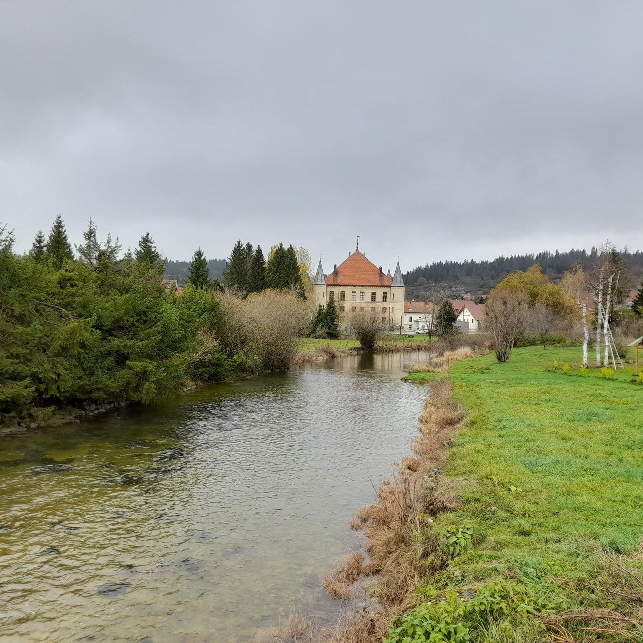
The abbey church was built approximately between 990 and 1030 according to the plans of the church of Cluny.
0
0

We did a 3-day mountain bike trip in this magnificent region, the routes are great 👍
0
0
Frequently Asked Questions
How many touring cycling routes are available around Rondefontaine?
There are over 140 touring cycling routes in the Rondefontaine area, offering a wide range of options for different skill levels and preferences.
Are there easy touring cycling routes suitable for beginners or families?
Yes, Rondefontaine offers 17 easy touring cycling routes. While specific family-friendly routes aren't detailed, easy routes are generally suitable for those looking for a less strenuous ride. The region's landscape of lakes and river sources can provide gentle terrain.
What are the typical distances and elevations for touring routes in Rondefontaine?
Routes vary significantly. For example, the Mouthe – Source of the Doubs loop from Mouthe is about 12.4 miles (19.9 km) with moderate elevation, while the Romainmôtier Priory – Lac de Joux loop from Mouthe extends to 46.3 miles (74.5 km) with over 1000 meters of ascent, indicating significant climbs on some routes.
Are there challenging touring cycling routes for experienced riders?
Absolutely. Rondefontaine features 61 difficult touring cycling routes. A notable challenging option is the Col de Landoz-Neuve – The Alpine Pasture Cabin loop from Les Pontets, which includes climbs to a mountain pass and traverses alpine pastures, covering 26.5 miles (42.6 km) with substantial elevation gain.
What kind of natural attractions can I see along the touring cycling routes?
The region is rich in natural beauty. You can expect to see features like The source of the Doubs, Lac de Saint-Point, and Lake Remoray. Many routes also offer scenic viewpoints, such as the Two Lakes Viewpoint.
Are most touring cycling routes in Rondefontaine circular?
Many of the popular touring cycling routes in Rondefontaine are designed as loops, allowing you to start and end at the same point. Examples include the Lake Remoray – Route du Lac de Saint-Point loop from Mouthe and the Tourbières de Moutat – The source of the Doubs loop from Mouthe.
What do other touring cyclists enjoy most about cycling in Rondefontaine?
The area is highly rated by the komoot community, with an average score of 4.1 stars from over 70 reviews. Cyclists often praise the scenic lake views, varied terrain, and the opportunity to explore river sources and alpine pastures.
When is the best time of year to go touring cycling in Rondefontaine?
Given the region's characteristics of lakes, river sources, and alpine pastures, late spring through early autumn (May to October) generally offers the most favorable weather conditions for touring cycling. Summers are pleasant, but be prepared for varied mountain weather.
Are there options for long-distance touring cycling in the Rondefontaine area?
Yes, several routes cater to longer distances. The Romainmôtier Priory – Lac de Joux loop from Mouthe, for instance, is a substantial 46.3 miles (74.5 km) route, providing a good option for those seeking a longer day out on the bike.
What are the typical weather conditions for cycling in Rondefontaine?
Rondefontaine, being in a region with alpine pastures, can experience varied weather. Summers are generally mild to warm, but mountain weather can change quickly, so it's advisable to be prepared for cooler temperatures or rain, especially at higher elevations or near water bodies. Always check the local forecast before heading out.
Are touring cycling routes in Rondefontaine generally dog-friendly?
While specific routes aren't explicitly marked as dog-friendly, many natural trails and paths in outdoor regions like Rondefontaine are suitable for cycling with dogs, provided they are well-behaved and kept on a leash where required. Always respect local regulations and ensure your dog is comfortable with the distance and terrain.
Most popular routes around Rondefontaine
Most popular attractions around Rondefontaine

Get inspired with the komoot mobile app


Explore more
Browse the best Cycling routes in other regions.
