The best road cycling routes around Rondefontaine
4.4
(51)
1,786
riders
95
rides
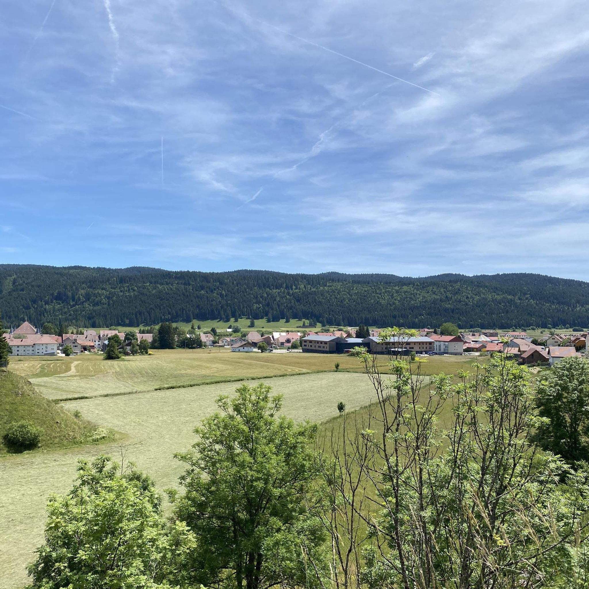
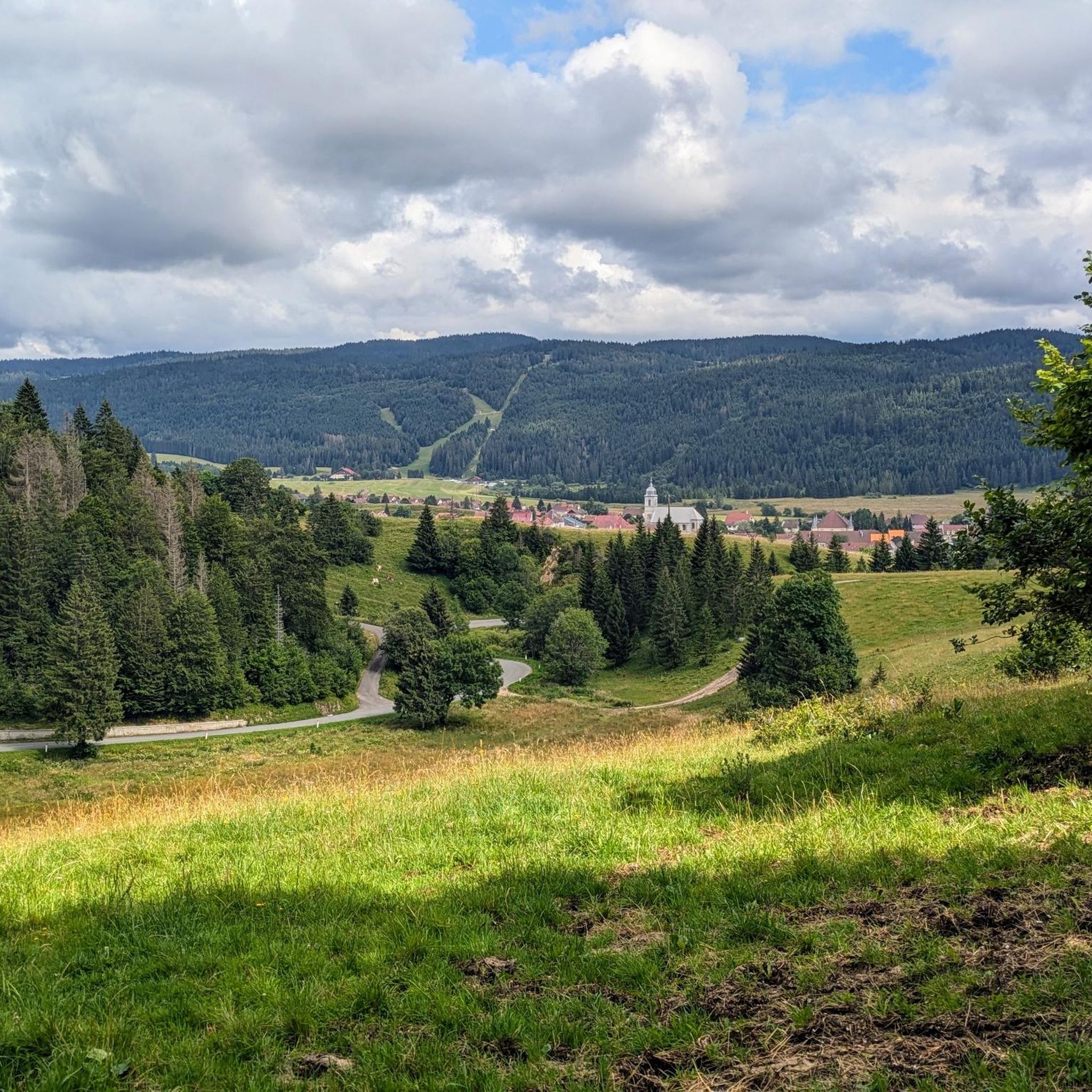
Road cycling routes around Rondefontaine are situated in the Doubs department of eastern France, within the Haut-Jura Regional Natural Park. The terrain features a mix of wooded valleys, open plateaus, and karst reliefs, providing varied landscapes for cycling. The region is characterized by views of the Jura Mountains and proximity to glacial lakes such as Lac de Remoray and Lac de Saint-Point. Cyclists encounter both challenging ascents and scenic rides through this rural, mountainous area.
Best road cycling routes around Rondefontaine
- The most popular road cycling route is View of Lac de Remoray – Étang de la Rivière-Drugeon loop from Mouthe, a 48.7 miles (78.3 km) trail that takes 3 hours 20 minutes to complete. This route offers views of Lac de Remoray and passes through varied landscapes.
- Another top favourite among local road cyclists is Mouthe – Col de Saint-Sorlin (1,142 m) loop from Mouthe, a moderate 34.9 miles (56.2 km) path. This route includes a climb to Col de Saint-Sorlin, providing elevation and panoramic views.
- Local road cyclists also love the Road through the fir trees – Chapelle des Bois loop from Mouthe, a 36.1 miles (58.1 km) trail leading through wooded valleys, often completed in about 2 hours 42 minutes.
- Road cycling around Rondefontaine is defined by the Jura Mountains, glacial lakes, and wooded valleys. The network offers options for different ability levels, from easy rides to challenging ascents.
- The routes in Rondefontaine are highly rated by the komoot community with an average score of 4.4 stars from over 50 reviews. More than 2,000 road cyclists have used komoot to explore Rondefontaine's varied terrain.
Last updated: July 7, 2026
4.1
(9)
204
riders
77.5km
03:18
580m
580m
Moderate road ride. Good fitness required. Mostly well-paved surfaces and easy to ride.
4.4
(5)
109
riders
56.2km
02:43
760m
760m
Moderate road ride. Good fitness required. Some segments of this route may be unpaved and difficult to ride.

Sign up for free
41
riders
26.9km
01:11
240m
240m
Easy road ride. Great for any fitness level. Mostly well-paved surfaces and easy to ride.
5.0
(2)
28
riders
50.2km
02:24
620m
620m
Moderate road ride. Good fitness required. Mostly well-paved surfaces and easy to ride.
40
riders
42.3km
01:55
420m
420m
Moderate road ride. Good fitness required. Mostly well-paved surfaces and easy to ride.
Get access to more routes and recommendations from other explorers.
Sign up for free
Already have an account?
Our route recommendations are based on thousands of hikes, rides, and runs completed by other people on komoot.
Start today with a free account
Your next adventure awaits.
Login or Signup

Tips from the Community

A very pretty viewpoint from the road overlooking Lake Remoray, a discreet neighbor of Lake Saint-Point. Located in the heart of a wild and preserved natural environment, it benefits from the status of a national nature reserve, and shelters a biological treasure: more than 200 species of birds, nearly 1,300 species of insects and 42 species of mammals find refuge there.
0
0

Magnificent view of the Bief de la Ruine waterfall and a bridge of the former railway line.
7
0


Chaux-Neuve is a small town in the Doubs region that hosts an international Nordic Combined World Cup event every year. To the south of the town, you can't miss these three large ski jumps, the largest of which rises to 118 meters.
0
0

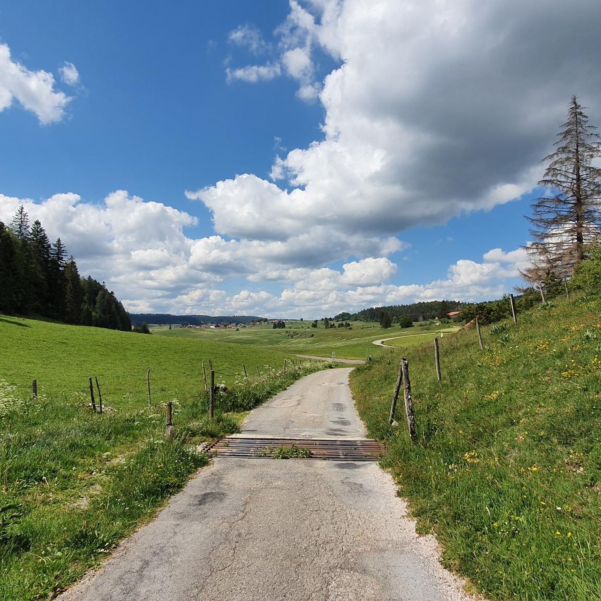
Pass without any difficulty from Mouthe: approximately 6.5 km at 3-4%.
0
0
Beautiful section of road along a wood.
0
0
Frequently Asked Questions
How many road cycling routes are available around Rondefontaine?
There are nearly 100 road cycling routes around Rondefontaine, catering to various skill levels. You'll find a mix of easy, moderate, and challenging options to explore the region's diverse landscapes.
What kind of terrain can I expect on road cycling routes in Rondefontaine?
The terrain around Rondefontaine is quite varied, featuring wooded valleys, open plateaus, and karst reliefs. You'll encounter both challenging ascents and scenic rides through the rural, mountainous areas, often with views of the Jura Mountains and glacial lakes.
Are there road cycling routes suitable for beginners or those looking for an easier ride?
Yes, Rondefontaine offers several easier road cycling routes. For example, the View of Lac de Remoray – Mouthe loop from Remoray-Boujeons is an easy 26.8 km ride with moderate elevation, perfect for a more relaxed experience.
What are some challenging road cycling routes for experienced riders?
For experienced cyclists seeking a challenge, routes like the Bellevue Le Rocheray – Chapelle des Bois loop from Mouthe offer significant elevation gains over 89.5 km. The region's mountainous character provides plenty of opportunities for demanding climbs.
What natural attractions can I see along the road cycling routes?
Many routes offer stunning views of the region's natural beauty. You can cycle past glacial lakes such as Lac de Saint-Point and Lake Remoray. Other notable sights include the Source of the Doubs and various viewpoints like the Two Lakes Viewpoint.
Are there any circular road cycling routes around Rondefontaine?
Yes, many of the road cycling routes in the area are circular, allowing you to start and end in the same location. Examples include the View of Lac de Remoray – Étang de la Rivière-Drugeon loop from Mouthe and the Mouthe – Col de Saint-Sorlin (1,142 m) loop from Mouthe.
What do other road cyclists enjoy most about cycling in Rondefontaine?
The area is highly rated by the komoot community, with an average score of 4.4 stars from over 50 reviews. Cyclists often praise the continuous scenic beauty, passing through forests and flower-filled meadows, and the panoramic views over the lakes, mountains, and valleys.
Is Rondefontaine suitable for family-friendly road cycling?
While many routes involve significant elevation, some sections or shorter loops around the lakes, such as Lac de Saint-Point, can be more suitable for families. It's best to check the route difficulty and elevation profiles to ensure it matches your family's fitness level.
What is the best time of year for road cycling in Rondefontaine?
The warmer months, typically from late spring through early autumn, offer the most favorable conditions for road cycling in Rondefontaine. During this period, the weather is generally mild, and the landscapes are vibrant, making for a more enjoyable experience.
Are there options for parking near the road cycling routes?
Yes, towns like Mouthe, which serve as common starting points for many routes, typically offer parking facilities. It's advisable to check local parking options in advance, especially during peak season.
Can I find cafes or accommodation near the cycling routes?
Yes, towns and villages within the region, such as Mouthe, Rondefontaine, and Pierrefontaine-les-Varans, provide various options for cafes, pubs, and accommodation. These can serve as convenient stops for refreshments or overnight stays during your cycling tour.
Is public transport available to access road cycling routes in Rondefontaine?
Public transport options in this rural area may be limited. It's recommended to research local bus services or train connections to nearby larger towns and then plan your cycling route from there, or consider driving to a starting point.
Most popular routes around Rondefontaine
Most popular attractions around Rondefontaine

Get inspired with the komoot mobile app


Explore more
Browse the best Road cycling routes in other regions.
