The best running trails around Freß
4.4
(128)
4,859
runners
197
runs
Jogging around Freß offers a network of routes characterized by generally flat terrain and minimal elevation changes, making it suitable for various fitness levels. The area features paths alongside water bodies, such as canals and small lakes, providing consistent surfaces for running. These routes often traverse open countryside, connecting small villages and offering views of the local landscape. The region's topography supports accessible running experiences without significant climbs.
Best jogging routes around Freß
- The most popular jogging route is Montreux-Château…
Last updated: October 8, 2026
6
runners
12.5km
01:19
50m
50m
Moderate run. Good fitness required. Mostly paved surfaces. Suitable for all skill levels.
5.0
(1)
6
runners
5.65km
00:38
40m
40m
Moderate run. Good fitness required. Mostly paved surfaces. Suitable for all skill levels.

4
runners
7.76km
00:50
30m
30m
Moderate run. Good fitness required. Mostly accessible paths. Some sure footedness required.
6
runners
8.71km
00:54
50m
40m
Moderate run. Good fitness required. Mostly paved surfaces. Suitable for all skill levels.
4
runners
9.37km
01:05
60m
60m
Moderate run. Good fitness required. Mostly paved surfaces. Suitable for all skill levels.
Get access to more routes and recommendations from other explorers.
Already have an account?
Our route recommendations are based on thousands of hikes, rides, and runs completed by other people on komoot.
Start today with a free account
Your next adventure awaits.


Tips from the Community

Cycle highway at its finest. You move forward quickly.
1
0

A true "highway" along the canal. The EV6 can be driven in the direction of Nantes in a completely relaxed manner.
1
0
Wonderful bike path along the Canal du Rhone au Rhin. Quiet place to take a break.
2
0

Popular mooring with picturesque boats often at this lock with a rise of 3.2 m.
7
1

One of the few benches for a break
1
0

I can only recommend this tour.
3
1

Relaxed cycling along the Canal du Rhône au Rhin on the EV 6 cycle path between Allenjoie and Montreux-Château. More information: https://de.wikipedia.org/wiki/Rhein-Rh%C3%B4ne-Kanal#Technische_Infektur and https://de.wikipedia.org/wiki/EuroVelo
4
1
For cyclists, the canal towpath winds through landscapes of meadows, groves, and fields, punctuated by beautiful clearings. Its rows of trees protect cyclists from the intense Alsatian sun.
9
1
Frequently Asked Questions
How many jogging routes are available around Freß?
Freß offers a wide selection of running routes, with over 180 trails documented on komoot. These routes cater to various preferences, from shorter loops to longer runs through the open countryside.
Are there easy or beginner-friendly running trails in Freß?
Yes, Freß is well-suited for beginners and those seeking easier runs. The region is characterized by generally flat terrain and minimal elevation changes. There are 16 routes specifically classified as easy, and many of the 146 moderate routes also feature gentle gradients, making them accessible for various fitness levels.
What kind of scenery can I expect on the running routes in Freß?
The running routes in Freß often feature picturesque waterside paths, particularly alongside canals like the Canal du Rhône au Rhin, and small lakes. You'll also experience open countryside views and pass through charming small villages, offering a blend of natural and rural landscapes.
Are there any circular running routes in Freß?
Many of the jogging routes in Freß are designed as loops, providing convenient circular options. For example, the Montreux-Château – Chavannes – Canal du Rhône au Rhin loop from Chavannes-sur-l'Étang is a popular 11 km circular trail that follows the canal.
What do other runners say about the trails in Freß?
The running trails in Freß are highly regarded by the komoot community, holding an average rating of 4.35 stars from over 90 reviews. Runners frequently praise the consistent, flat surfaces, the scenic waterside paths, and the overall accessibility of the routes for different abilities.
Are there any interesting landmarks or attractions to see while jogging in Freß?
While jogging, you might encounter various points of interest. Some routes run near the Canal du Rhône au Rhin, and you can explore historical sites like the Citadel of Belfort or the Port of Dannemarie, which are within the broader region.
What is a good moderate-distance running route in Freß?
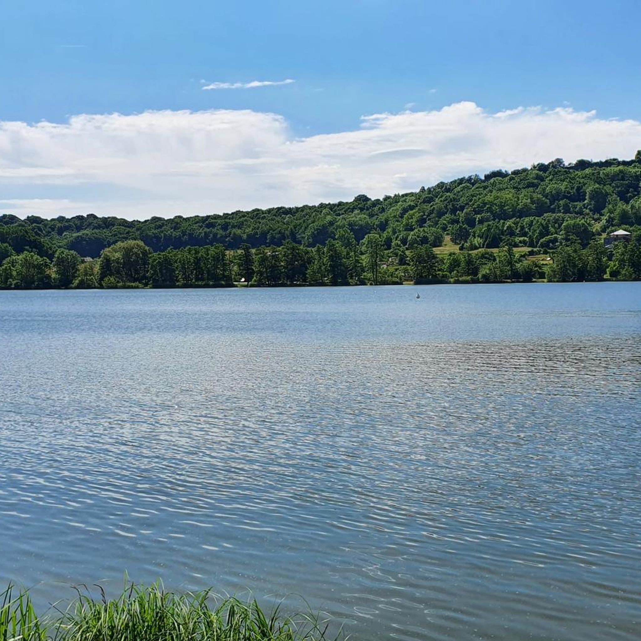
For a moderate distance, consider the Etang de la Belle Île loop from Chavannes-sur-l'Étang. This route is approximately 7.7 km (4.8 miles) long and offers a pleasant run around the lake, taking about 50 minutes to complete.
Are the running routes in Freß suitable for families?
Given the generally flat terrain and minimal elevation, many of the routes in Freß are suitable for families, especially those with younger runners or strollers. The consistent surfaces along canals and through open fields provide a safe and enjoyable environment for all ages.
Can I bring my dog on the jogging trails in Freß?
While specific dog policies can vary, the open countryside and waterside paths in Freß generally offer a welcoming environment for dogs, provided they are kept under control and local regulations are followed. Always ensure your dog is well-behaved and that you clean up after them.
Are there any longer running routes for experienced runners in Freß?
Yes, while many routes are moderate, you can combine trails or choose longer loops. The Montreux-Château – Chavannes – Canal du Rhône au Rhin loop from Chavannes-sur-l'Étang, at 11 km (6.8 miles), is one of the longer single routes available, offering a sustained run along the canal.
What are the typical running surfaces like in Freß?
You can expect consistent running surfaces in Freß, often featuring well-maintained paths alongside water bodies and through open fields. The terrain is generally flat, making for a smooth and predictable running experience without significant technical challenges.
Are there any routes that offer views of lakes or other water features?
Absolutely. Many routes in Freß are defined by their proximity to water. The Etang de la Belle Île loop from Chavannes-sur-l'Étang is a prime example, offering scenic views around a lake. Other trails follow the Canal du Rhône au Rhin, providing continuous waterside vistas.
Most popular attractions around Freß

Get inspired with the komoot mobile app


Explore more
Browse the best Running Trails & Routes in other regions.
