The best road cycling routes around Freß
4.6
(151)
4,569
riders
191
rides
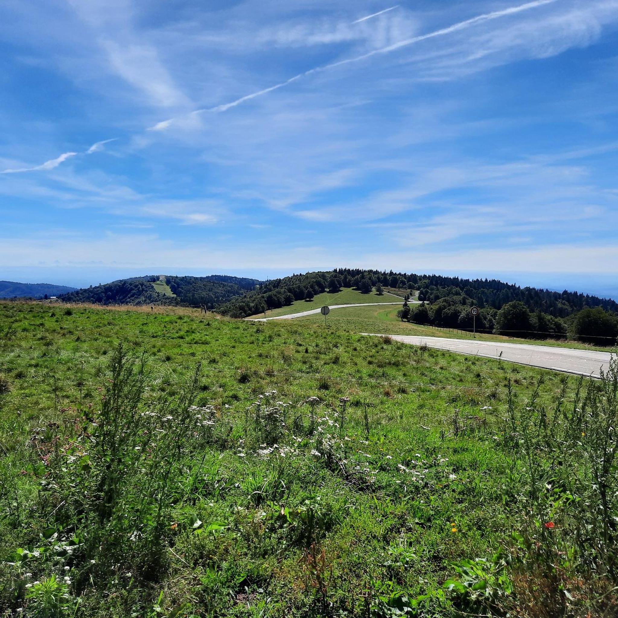
Road cycling around Freß offers a diverse landscape for cyclists. The region features routes that traverse both significant climbs, such as the ascent to Ballon d'Alsace, and flatter sections along waterways and through open countryside. Cyclists can expect a mix of challenging ascents and more gentle, rolling terrain. The area provides varied road cycling routes suitable for different skill levels.
Best road cycling routes around Freß
- The most popular road cycling route is Ballon d'Alsace – Col du Ballon d'Alsace loop from Reppe, a 46.9 miles (75.5 km) trail that takes 3 hours 40 minutes to complete. This difficult route features a substantial elevation gain, making it suitable for experienced cyclists.
- Another top favourite among local road cyclists is Port of Dannemarie – Écluse Muehlenmatten loop from Lacollonge, a moderate 27.9 miles (44.9 km) path. This route offers a mix of open roads and scenic sections, with moderate elevation changes.
- Local road cyclists also love the EuroVelo 6 Aumatten – Écluse Muehlenmatten loop from Reppe, a 23.0 miles (37.1 km) trail leading through varied terrain, often completed in about 1 hour 37 minutes.
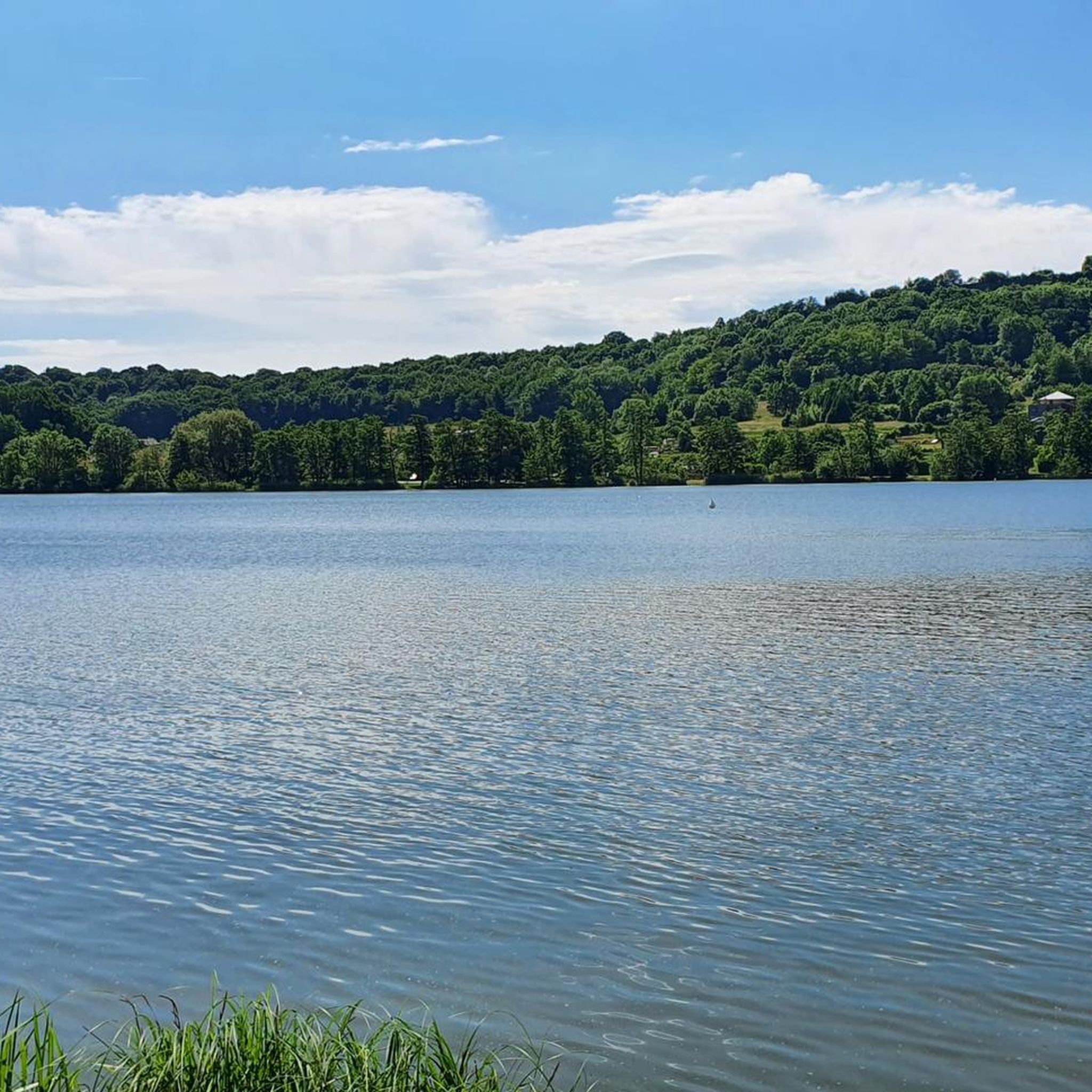
- Road cycling around Freß is defined by its mix of challenging mountain passes, such as the Ballon d'Alsace, and more gentle routes along canals and through rural areas. The network offers options for different ability levels, from easy to difficult.
- The routes in Freß are highly rated by the komoot community with an average score of 4.6 stars from over 150 reviews. More than 5000 road cyclists have used komoot to explore Freß's varied terrain.
Last updated: June 29, 2026
4.3
(3)
51
riders
Moderate road ride. Good fitness required. Some segments of this route may be unpaved and difficult to ride.
31
riders
62.4km
02:30
300m
300m
Moderate road ride. Good fitness required. Mostly well-paved surfaces and easy to ride.

Sign up for free
28
riders
114km
05:05
1,020m
1,020m
Hard road ride. Very good fitness required. Some segments of this route may be unpaved and difficult to ride.
43
riders
86.8km
03:50
760m
760m
Moderate road ride. Good fitness required. Mostly well-paved surfaces and easy to ride.
25
riders
Moderate road ride. Good fitness required. Some segments of this route may be unpaved and difficult to ride.
Get access to more routes and recommendations from other explorers.
Sign up for free
Already have an account?
Our route recommendations are based on thousands of hikes, rides, and runs completed by other people on komoot.
Start today with a free account
Your next adventure awaits.
Login or Signup



Tips from the Community

This is completely in the wrong place! It is nowhere near the citadel or the lion
0
0

Unlike the Blochmont, which crosses the same ridge just a little further on, this road from Wolschwiller is considerably more challenging. After a gentle start, the route climbs relatively steeply through the narrow valley. A stream flows to the right, while beautiful rock formations are often visible to the left. At the top, near the unmistakable 'Lange Matte' (Long Meadow), the terrain levels out again, and soon you're at the top.
0
1

The cycle path along the canal is superbly maintained and runs through beautiful countryside. However, the starting and finishing points near Bourgogne and Bretagne raise geographical questions as to whether one is still truly in Alsace...
0
0

Every lock along the route provides for an unusual background and a good memory of your bike trip. A lot of these locks have a bridge going over them, take the time to branch off the bridge and discover some of the nice villages along the canal.
0
0
The French and European National Cycleway is a great cycleway winding along side of the Rhine Rhone Canal with very little climbing, for those who do not like to climb. However those who are climbing shy, must be aware of the wind in this area. A lot of the locks still have the former lock man’s house which adds a bit of charm to every lock. One is never alone on this route as there is a constant passing of bicycles, both leisure and racing bikes.
0
0
The Rhine Rhone Cycleway is part of the National French and European Cycleway. This stretch of the cycleway has excellent smooth asphalted pavement. There are some nice restaurants and cafés along the way which are sometimes hidden but can easily be found on the map.
1
0

very beautiful route!!! drive slowly!! watch out for pedestrians
0
0

There are also toilets and a water point
0
0
Frequently Asked Questions
How many road cycling routes are available around Freß?
There are over 195 road cycling routes around Freß, offering a wide variety of options for cyclists of all skill levels.
What are the difficulty levels of road cycling routes in Freß?
The routes in Freß cater to various skill levels. You'll find 44 easy routes, 130 moderate routes, and 21 difficult routes, ensuring there's something for everyone from beginners to experienced cyclists.
Are there any easy road cycling routes suitable for beginners in Freß?
Yes, Freß offers several easy road cycling routes. A good option for a more relaxed ride is the Etang loop from Chavannes-sur-l'Étang, which covers 17.3 km with minimal elevation gain.
What kind of terrain can I expect on road cycling routes in Freß?
Road cycling around Freß features a diverse landscape. You can expect routes that include significant climbs, such as the ascent to Ballon d'Alsace, as well as flatter sections along waterways and through open countryside. The area provides a mix of challenging ascents and more gentle, rolling terrain.
What do other road cyclists enjoy most about the routes in Freß?
The road cycling routes in Freß are highly rated by the komoot community, with an average score of 4.6 stars from over 150 reviews. More than 5,000 road cyclists have explored the varied terrain, often praising the mix of challenging mountain passes and gentle routes along canals and through rural areas.
Are there challenging road cycling routes for experienced cyclists in Freß?
Absolutely. For experienced cyclists seeking a challenge, the Ballon d'Alsace – Col du Ballon d'Alsace loop from Reppe is a difficult 75.5 km route with a substantial elevation gain, perfect for testing your endurance.
Can I find circular road cycling routes in Freß?
Yes, many of the road cycling routes in Freß are designed as loops. For example, the Port of Dannemarie – Écluse Muehlenmatten loop from Lacollonge is a popular moderate 44.9 km circular path.
Are there any scenic viewpoints or landmarks along the road cycling routes in Freß?
While cycling around Freß, you can encounter several interesting landmarks. The Port of Dannemarie and sections of the Canal du Rhône au Rhin offer picturesque views. You might also spot historical sites like the Citadel of Belfort or the iconic Lion of Belfort in the wider region.
Are there routes that follow waterways or canals in Freß?
Yes, the region offers routes that traverse along waterways. The EuroVelo 6 Aumatten – Écluse Muehlenmatten loop from Reppe is a 37.1 km trail that leads through varied terrain, often alongside water features like the Canal du Rhône au Rhin.
What is the typical length of road cycling routes in Freß?
The road cycling routes in Freß vary significantly in length. You can find shorter rides like the 17.3 km Etang loop, moderate options around 30-45 km such as the Moulin Energy Source loop from Larivière (29.4 km), and longer, more challenging routes up to 75 km or more.
Are there any historical sites to explore near the road cycling routes?
Yes, the area around Freß is rich in history. Cyclists can find routes that pass near historical sites such as the Citadel of Belfort, the Fort de Vézelois, and the Miotte Tower, offering opportunities to combine cycling with cultural exploration.
Can I find routes with moderate elevation changes in Freß?
Certainly. Many routes in Freß feature moderate elevation changes, providing a good balance of challenge and enjoyment. The Port of Dannemarie – Écluse Muehlenmatten loop from Lacollonge is a moderate route with a mix of open roads and scenic sections, and manageable elevation changes.
Most popular attractions around Freß

Get inspired with the komoot mobile app


Explore more
Browse the best Road cycling routes in other regions.
