The best walks and hikes around Freß
4.4
(384)
2,800
hikers
128
hikes
Hiking around Freß offers routes primarily characterized by gentle terrain and numerous water features, including various ponds and small lakes. The region's trails often loop around these bodies of water, providing a tranquil hiking experience. Elevation changes are minimal, with most routes featuring only slight ascents and descents. This landscape composition makes the area suitable for accessible outdoor activities.
Best hiking trails around Freß
- The most popular hiking route is Etang des Cratsch et de la Belle Île — loop…
Last updated: July 5, 2026
4.0
(4)
8
hikers
13.3km
03:26
70m
70m
Moderate hike. Good fitness required. Easily-accessible paths. Suitable for all skill levels.
4.1
(14)
47
hikers
Easy hike. Great for any fitness level. Easily-accessible paths. Suitable for all skill levels.

Sign up for free
5.0
(3)
9
hikers
Moderate hike. Good fitness required. Easily-accessible paths. Suitable for all skill levels.
5.0
(1)
9
hikers
6.22km
01:37
40m
40m
Easy hike. Great for any fitness level. Easily-accessible paths. Suitable for all skill levels.
10
hikers
10.9km
02:47
50m
50m
Moderate hike. Good fitness required. Easily-accessible paths. Suitable for all skill levels.
Get access to more routes and recommendations from other explorers.
Sign up for free
Already have an account?
Our route recommendations are based on thousands of hikes, rides, and runs completed by other people on komoot.
Start today with a free account
Your next adventure awaits.
Login or Signup


Tips from the Community


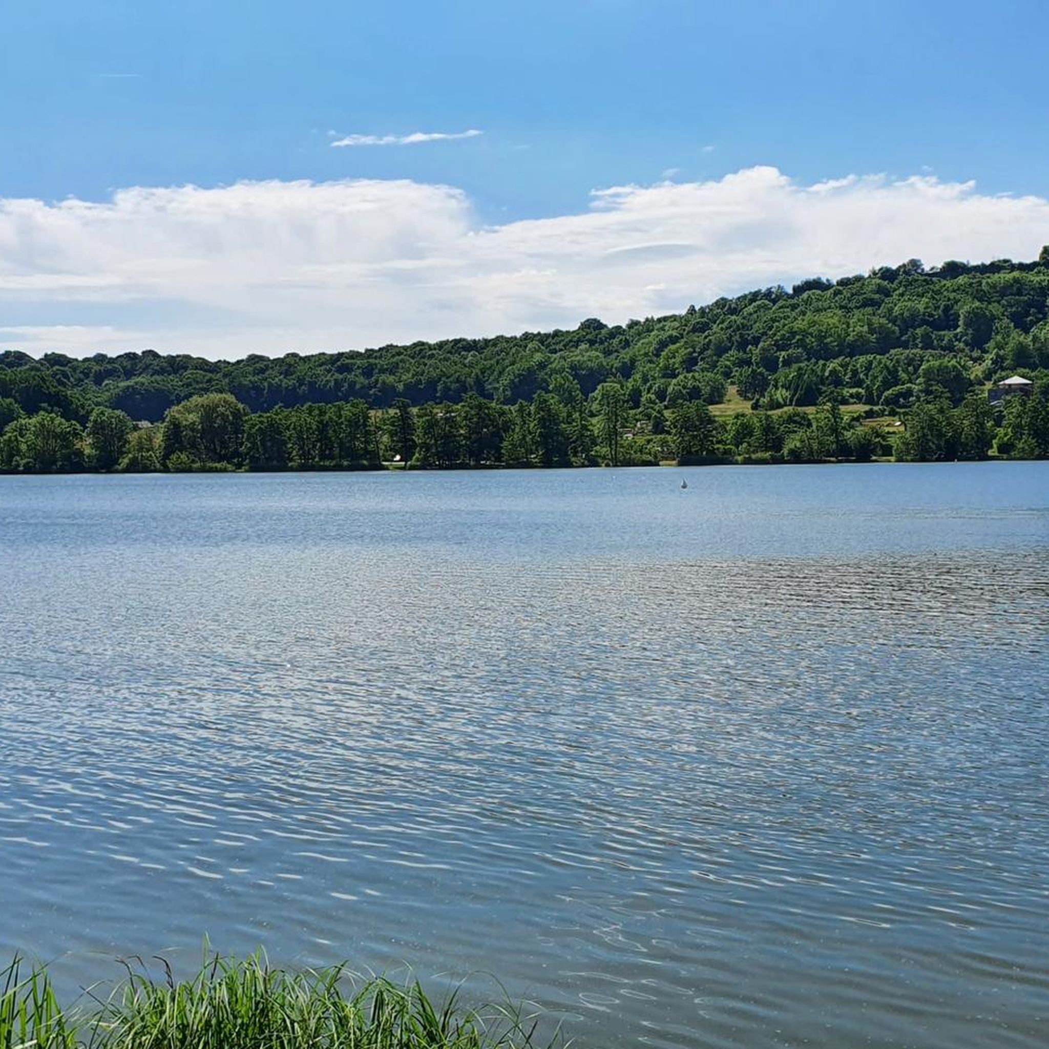
Beautiful and large pond. Many footbridges are installed. No doubt for fishermen. But bring a pair of binoculars, there are many waterbirds.
0
0
I haven't been here for at least 45 years. At the time there was a tavern. We could have a drink there. go pedal boating. On Sunday there were people on the terrace and children laughing. Today, even if the site remains beautiful, there is not much left of this happy place. If any members have any information, I'm interested.
0
0

The pond found here is a great place to take a break and appreciate the flora and fauna found on the banks of the water. The trees along the banks tower over the water, creating interesting places to stop and enjoy the lake.
2
0

La Belle Île pond is actually a series of ponds with wooden walkways that allow you to reach the islets. There are several marked walks to do in the area.
0
0

The Vosges massif or the Vosges is a massif of medium mountains in the North-East of France which separates the Lorraine plateau from the plain of Alsace. Of Variscan origin and mainly made up of sandstone and granite, it reaches altitudes culminating at 1,424 meters at the Grand Ballon.
0
0

Frequently Asked Questions
How many hiking trails are available around Freß?
The Freß region offers a wide selection of hiking routes, with over 100 trails available. These range from easy strolls to more moderate excursions, ensuring options for various preferences and fitness levels.
What is the typical terrain like for hiking in Freß?
Hiking in Freß is characterized by gentle terrain and numerous water features, including various ponds and small lakes. Most routes feature minimal elevation changes, making for a tranquil and accessible hiking experience.
What are the difficulty levels of hikes in Freß?
The trails around Freß primarily consist of easy and moderate routes. There are 48 easy trails and 54 moderate trails, with only a few routes classified as difficult. This makes the area suitable for a wide range of hikers, including families and those seeking relaxed walks.
Are there many circular hiking routes in Freß?
Yes, many of the hiking routes in Freß are designed as loops, often circling the region's numerous ponds and lakes. This allows hikers to start and end at the same point, providing convenient and varied waterside views.
What do other hikers say about the trails in Freß?
The hiking routes in Freß are highly regarded by the komoot community, holding an average rating of 4.3 stars from over 300 reviews. More than 2,400 hikers have explored the area using komoot, often praising the tranquil atmosphere and accessible paths around the water features.
Are there family-friendly hiking options in Freß?
Given the gentle terrain and minimal elevation changes, many of the easy and moderate trails in Freß are well-suited for families. Routes like Étang La Belle Île – Marinere floor loop from Chavannes-sur-l'Étang or Étang La Belle Île – Etang de la Belle Île loop from Chavannes-sur-l'Étang offer pleasant walks around the lakes that are enjoyable for all ages.
Are there any interesting landmarks or attractions to see near the hiking trails?
Yes, the Freß area offers several interesting attractions. You can explore historical sites such as the Citadel of Belfort or the Fort de Vézelois. For those interested in waterways, the Canal du Rhône au Rhin and the Port of Dannemarie are also nearby.
Can I combine hiking with visiting historical sites in the Freß area?
Absolutely. The region around Freß is rich in history. You can easily combine a hike with a visit to impressive structures like the Citadel of Belfort, or explore the Citadel of Belfort and Lion of Belfort, which are significant historical landmarks in the vicinity.
Are there any hikes that offer particularly good views of the water features?
Many trails in Freß are designed to showcase the region's abundant water features. For example, the Etang des Cratsch et de la Belle Île — loop from Foussemagne offers varied waterside views as it circles two notable ponds. Similarly, the Etang de la Belle Île loop from Chavannes-sur-l'Étang provides tranquil scenery around the lake.
What is the best time of year to go hiking in Freß?
Given the numerous ponds and gentle paths, spring, summer, and early autumn are generally ideal for hiking in Freß. The weather is usually pleasant, and the natural surroundings are vibrant, making for enjoyable walks around the water features.
Are there any longer, moderate hikes available for more experienced walkers?
Yes, for those looking for a longer, moderate challenge, the Etang des Cratsch et de la Belle Île — loop from Foussemagne is an excellent option. This 8.3-mile (13.3 km) trail takes approximately 3 hours 26 minutes to complete, offering varied waterside views. Another good choice is the Bridge over the Autruche – Stone Water Source loop from Bessoncourt, which is 12.3 km long.
Most popular attractions around Freß

Get inspired with the komoot mobile app


Explore more
Browse the best Hikes in other regions.
