The best road cycling routes around Meschers-Sur-Gironde
4.2
(114)
3,882
riders
19
rides
Road cycling routes around Meschers-Sur-Gironde traverse a landscape characterized by the vast Gironde estuary, dramatic limestone cliffs, and protected forests. The region features a mix of coastal paths, small roads, and dedicated cycle routes, offering diverse terrain for cyclists. Riders can explore areas ranging from sandy beaches to the unique biodiversity of the Talmont marshes and the Suzac forest. This varied topography provides a compelling environment for road cycling.
Best road cycling routes around Meschers-Sur-Gironde
- The most popular road cycling…
Last updated: July 13, 2026
3.0
(2)
10
riders
54.9km
03:02
310m
310m
Moderate road ride. Good fitness required. Mostly well-paved surfaces and easy to ride.
4.8
(6)
143
riders
72.0km
02:59
400m
400m
Moderate road ride. Good fitness required. Mostly well-paved surfaces and easy to ride.

Sign up for free
4.5
(4)
87
riders
18.9km
00:51
160m
160m
Easy road ride. Great for any fitness level. Mostly well-paved surfaces and easy to ride.
25
riders
66.1km
02:46
360m
370m
Moderate road ride. Good fitness required. Mostly well-paved surfaces and easy to ride.
12
riders
75.8km
03:19
320m
320m
Moderate road ride. Good fitness required. Some segments of this route may be unpaved and difficult to ride.
Get access to more routes and recommendations from other explorers.
Sign up for free
Already have an account?
Our route recommendations are based on thousands of hikes, rides, and runs completed by other people on komoot.
Start today with a free account
Your next adventure awaits.
Login or Signup
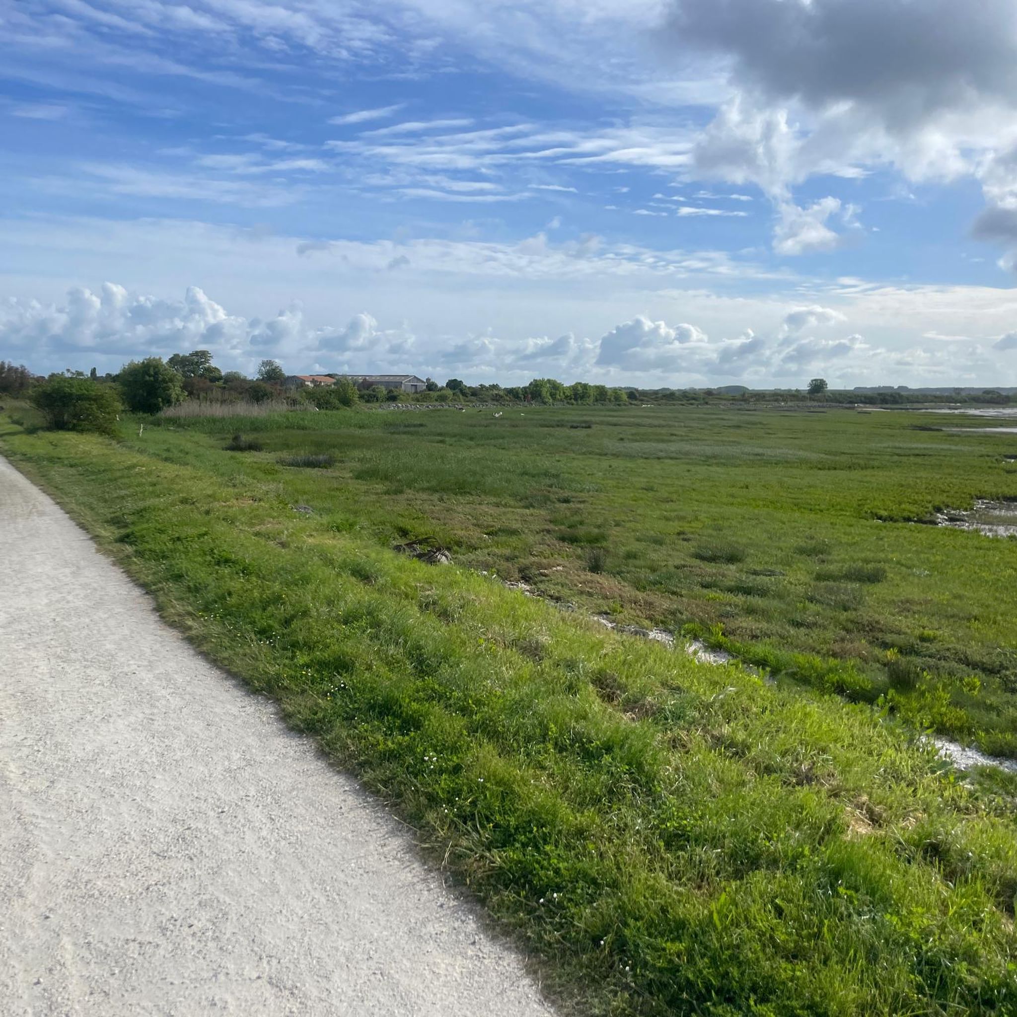
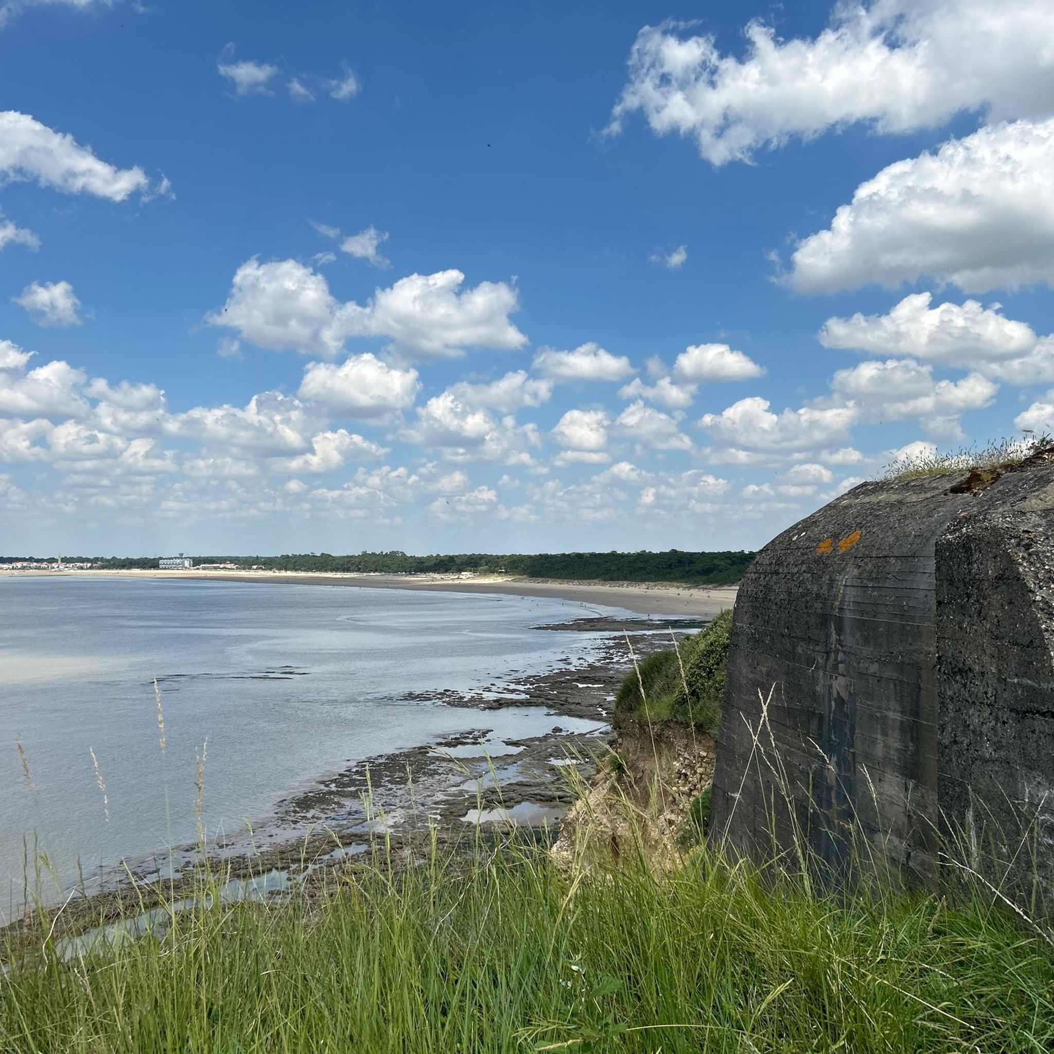
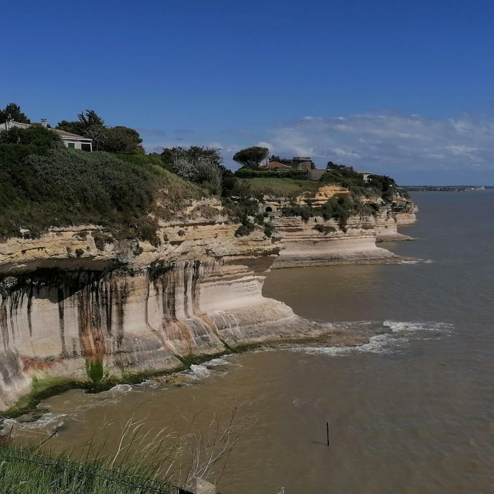
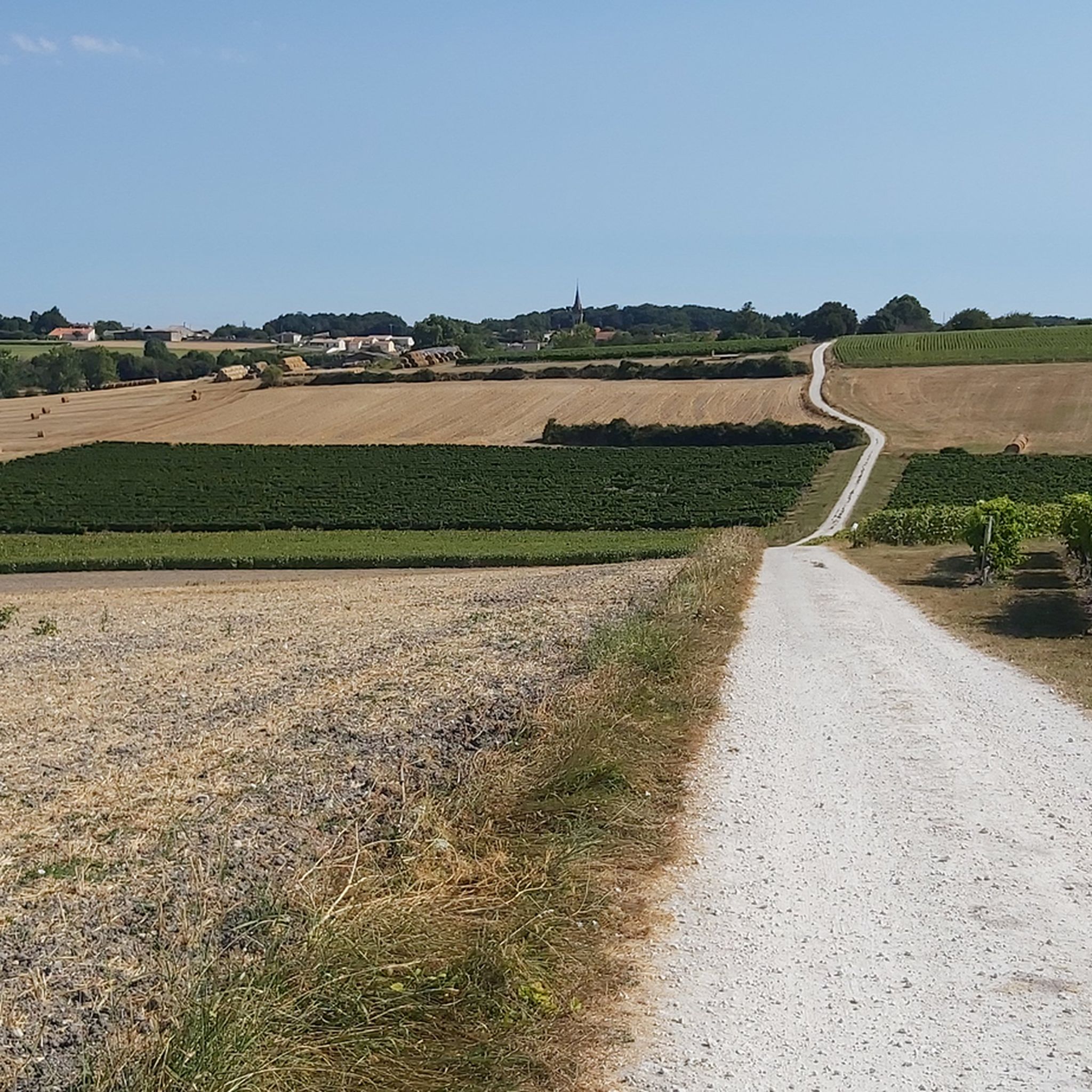

Tips from the Community

Built from 1955 and consecrated in 1958, the Notre-Dame de Royan church symbolizes the city standing tall and proud again. The reinforced concrete monument thus fits into the general trend of renewal in sacred art after the sad events the world experienced in the 1940s. It is considered today as a feat and a masterpiece of modern architecture. "Upon entering this concrete cathedral, be silent. Here, everything is momentum, rigor, roughness, austere beauty. The twilight sings the elusive, the divine, variable and constant like the sea." ANDRÉ MALRAUX Minister of Cultural Affairs (1958-1969)
1
0

The puits de l’Auture is an emblematic natural site located in Puits de l’Auture, north of the commune of Saint-Palais-sur-Mer. Its name often intrigues, and its history blends geology, local traditions, and maritime observation. 🌊 Origin and formation The puits de l’Auture is not a man-made well, but a natural formation: It is a cavity carved into the limestone rock by marine erosion. Under the effect of waves and infiltrations, the rock gradually collapsed, forming a sort of vertical chasm open to the sea. During strong swells or tides, water rushes in violently, creating spectacular eddies. 📜 Origin of the name The term “Auture” probably comes from Old French or the local dialect: It could derive from “hauteur” (height) or “autre” (other), evoking a high or separate place. Another hypothesis suggests a deformation of an old word related to a natural cavity or opening. No completely certain origin has been formally established, which adds to the mystery of the place. ⚓ Local historical role The site has had several uses or functions over time: 👀 Observation point Located on the rocky cornice, it served as a natural observation post to monitor the sea. Locals and fishermen could spot boats, storms, or dangers. 🎣 Fishing activities As elsewhere on the coast of Royan, particularly near the famous carrelets (fishing huts on stilts), the area was frequented by fishermen. The rocks around the well allowed for shore fishing or line fishing. 🌿 A remarkable natural site Today, the puits de l’Auture is mainly: A popular walking spot along the coastal path. A listed site for its landscape and geological interest. A remarkable viewpoint over the Atlantic Ocean, especially at sunset. ⚠️ Caution The site remains fragile and potentially dangerous: Unstable cliffs Powerful waves during storms It is advisable to stay on the marked trails.
0
0

Exceptional view, the most beautiful village in France.
0
0

Here you'll find a romantic little lighthouse, and behind it lies a garden with a bench overlooking the sea, a lovely place to stop for a break. Afterwards, you can continue along the cliff to the right until you reach Euro Velo 1 again.
0
0


Perfect beachside bike trail along the boulevard, with several rest stops with seating and beach acces.
0
0

On the beach of Royan (20,000 inhabitants). This is where the boat that takes you across the Gironde docks/departs.
0
0
The Terre-Nègre lighthouse is a landmark forming a cylindrical tower a little over 26 meters high. Located on the tip of Terre-Nègre, in the commune of Saint-Palais-sur-Mer, in Charente-Maritime, it is intended to mark the southern pass of the Gironde estuary and to signal the presence of a dangerous sandbank, the "Anglais bar". This building forms a tower-column 3.16 meters in diameter and 26.60 meters high. A spiral staircase with a central core of 143 steps leads to a summit platform equipped with a directional light. The tower is painted in two different colors to make it more visible: the upper part is red, the lower part is white. The base of the lighthouse is hidden by a building that once served as the keeper's accommodation. The installation of a beacon at this location was considered as early as 1763. De Kearney took over the beaconing plan four years later. Construction work on the tower began in 1770 and was completed in 1773, probably under the supervision of the Bordeaux engineer Claude Tardy. In 1807, the tower was raised. However, this work was considered insufficient by some of the estuary's navigators. In 1834, sailors from the nearby port of Royan sent a request to the Ministry of the Navy to study the possibility of equipping the tower with a light. However, this request was postponed the following year due to lack of sufficient funds. A new request from sailors prompted the lighthouse commission to experiment with a first light in 1836. Finally, on October 15, 1838, a fixed white 4th order light was permanently installed. The latter was replaced in 1856 by a fixed white light of the 4th order of a small dioptric model with a reinforced sector of the 5th order catoptric. It was equipped with new lights in 1899 and 1904. In 1939, it was electrified. During the German occupation, the lighthouse served as an observatory for the soldiers of the Wehrmacht. Damaged during the fighting of 1945 (presence of breaches at the top of the tower), it was restored in the immediate post-war period. In March 1947, the lighthouse was operational again. A light with 3 occultations — changing every 12 seconds — was installed. Its colors are white, red and green. Its current range is 18 miles. Listed as a Historic Monument since 2011, the lighthouse is not open to visitors. However, it can be admired from the outside and a pretty passage provides direct access to the coastal path.
0
0
Frequently Asked Questions
What makes Meschers-sur-Gironde a unique destination for road cycling?
Meschers-sur-Gironde offers a distinctive blend of landscapes for road cyclists. You'll find routes traversing dramatic limestone cliffs, providing spectacular views of the vast Gironde estuary, as well as paths through protected areas like the Suzac forest and the unique biodiversity of the Talmont marshes. This varied topography, from coastal paths to quiet country roads, creates a compelling environment for exploration.
How many road cycling routes are available around Meschers-sur-Gironde?
There are over 20 road cycling routes available around Meschers-sur-Gironde, catering to various preferences. The komoot community has explored these routes over 400 times, highlighting the area's popularity among cyclists.
Are there road cycling routes suitable for beginners or those looking for an easier ride?
Yes, Meschers-sur-Gironde offers several easier road cycling routes. For instance, the region features routes that are less demanding, with 4 routes specifically classified as easy. These often include flatter sections through marshlands or along the coast, providing a relaxed cycling experience.
What are some scenic road cycling routes with viewpoints in Meschers-sur-Gironde?
Many routes offer scenic viewpoints, particularly those along the coast and estuary. The Fisherman's cottages – View of cabanes à carrelet loop from Vallée provides stunning views of traditional fishing huts and the estuary. Another option is the Mortagne-sur-Gironde from Meschers-sur-Gironde – loop, which offers views of the Gironde estuary and connects to the charming port of Mortagne-sur-Gironde.
Are there any circular road cycling routes around Meschers-sur-Gironde?
Yes, many of the road cycling routes in the area are designed as loops, allowing you to start and finish in the same location. A popular example is the Mortagne-sur-Gironde from Meschers-sur-Gironde – loop, a 34.1-mile (54.9 km) trail. Another is the Royan Main Beach – Royan Beach loop from Meschers-sur-Gironde, which is 11.9 miles (19.1 km) long.
What can I see along the road cycling routes in terms of natural features or landmarks?
Along the road cycling routes, you can encounter various natural features and landmarks. The region is known for its dramatic limestone cliffs and fine sandy beaches like Saint-Georges-de-Didonne Beach and Chay Beach. You might also pass by the Suzac Forest, the Caillaud cliff at Talmont sur Gironde, and the unique Marsh Cycle Path in Meschers-sur-Gironde.
Are there any historical or cultural points of interest accessible by road bike?
Yes, Meschers-sur-Gironde and its surroundings offer historical and cultural points of interest. You can cycle to the iconic troglodytic caves, such as Grottes de Matata, carved into the limestone cliffs. The picturesque port of Meschers itself is a charming spot, and routes can lead to nearby villages like Talmont-sur-Gironde, known for its historical significance.
What is the best time of year for road cycling in Meschers-sur-Gironde?
The region is generally pleasant for road cycling from spring through autumn. The summer months offer warm weather ideal for coastal rides and enjoying the beaches. However, spring and early autumn provide milder temperatures and potentially less crowded routes, making them excellent choices for comfortable cycling.
What do other road cyclists enjoy most about road cycling in Meschers-sur-Gironde?
The road cycling routes in Meschers-sur-Gironde are highly rated by the komoot community, with an average score of 3.5 stars. Cyclists frequently praise the diverse scenery, which includes coastal views, marshlands, and forest sections, as well as the variety of routes suitable for different ability levels.
Are there longer road cycling routes for more advanced riders?
For more advanced riders seeking longer distances, routes like the View of cabanes à carrelet – Port of Mortagne-sur-Gironde loop from Meschers-sur-Gironde offer a substantial challenge. This route covers over 50 miles (80 km) with significant elevation gain, providing an extensive ride through varied landscapes.
Can I find cafes or places to stop for refreshments along the road cycling routes?
Yes, many road cycling routes in Meschers-sur-Gironde pass through or near charming towns and villages where you can find cafes, restaurants, and other amenities. The port of Meschers itself has lively terraces, and routes connecting to places like Mortagne-sur-Gironde or Royan offer ample opportunities for refreshments.
Are there specific routes that highlight the traditional fishing huts (cabanes à carrelet)?
Absolutely. The traditional fishing huts, known as cabanes à carrelet, are a distinctive feature of the Gironde estuary. The Fisherman's cottages – View of cabanes à carrelet loop from Vallée is specifically designed to showcase these iconic structures, offering scenic views as you cycle along the coast.
Most popular routes around Meschers-Sur-Gironde
Most popular attractions around Meschers-Sur-Gironde

Get inspired with the komoot mobile app


Explore more
Browse the best Road cycling routes in other regions.
