The best MTB trails around Meschers-Sur-Gironde
4.6
(241)
1,150
riders
60
rides
Mountain biking around Meschers-Sur-Gironde offers varied terrain across coastal, forest, and marshland environments. The region is characterized by limestone cliffs overlooking the Gironde estuary, providing routes with panoramic views. Inland, the Forêt de Suzac offers shaded paths, while the nearby Saint-Seurin-d'Uzet Marshes present flat, accessible routes. This diverse landscape supports a range of mountain bike trails suitable for different skill levels.
Best mountain bike trails around Meschers-Sur-Gironde
- The most popular mountain bike trail is This forest is very playful –…
Last updated: June 29, 2026
4.6
(22)
119
riders
31.8km
01:48
200m
200m
Easy mountain bike ride. Great for any fitness level. Suitable for all skill levels.
4.8
(16)
69
riders
29.8km
01:47
230m
230m
Easy mountain bike ride. Great for any fitness level. Suitable for all skill levels.

Sign up for free
4.2
(5)
33
riders
51.5km
03:17
430m
430m
Moderate mountain bike ride. Good fitness required. Suitable for all skill levels.
4.1
(7)
18
riders
41.5km
02:32
260m
260m
Moderate mountain bike ride. Good fitness required. Suitable for all skill levels.
4.0
(11)
22
riders
17.9km
01:23
100m
100m
Easy mountain bike ride. Great for any fitness level. Suitable for all skill levels.
Get access to more routes and recommendations from other explorers.
Sign up for free
Already have an account?
Our route recommendations are based on thousands of hikes, rides, and runs completed by other people on komoot.
Start today with a free account
Your next adventure awaits.
Login or Signup

Tips from the Community

🏖️ General Overview Chay Beach is a family-friendly, fine sandy beach located in Royan (Charente-Maritime), on the Côte d’Argent promenade between Pigeonnier Beach and Pointe du Chay. It stretches for approximately 200 meters and boasts a pleasant natural setting, with a cove bordered by rocks typical of the Charente coastline. 🏝️ Features • 🌊 Beach type: fine sand, sheltered cove. • 🏄♂️ Atmosphere: relatively calm and family-friendly, ideal for children and vacationers seeking relaxation away from the large urban beaches. • 🐾 Pets: prohibited from April 1st to September 30th. • 🫧 Water quality: excellent (Blue Flag label awarded for 2025). 🧭 Lifeguard and Safety • Swimming is supervised during the season (June to early September), with areas marked by red and yellow flags. • The area is classified as a Category 3 "Supervised Beach" and lifeguards are present during the indicated hours. 🪑 Amenities On-site, you can find: • 🏖️ Sun loungers, parasols, and mattresses for rent. • 🚿 Foot rinse and public restrooms. • 📶 Wi-Fi access, first aid station, and an area accessible to people with reduced mobility (assistance may be required depending on the slope). • 🍴 Beachfront restaurant ("Le Chay" bar-restaurant with sea views). 🚶♂️ Atmosphere and Activities • 🎈 Ideal for families and leisurely strolls. • 🌞 People come here for swimming, playing on the sand, flying kites, or simply relaxing by the ocean. • 🅿️ Parking is available nearby, and the beach is easily accessible on foot or by bike from Royan town center in just a few minutes. 🧭 Practical Tips • 📆 Best time to visit: summer for supervised swimming and full services, but also during the off-season for a more peaceful atmosphere. • ☀️ Arriving early in the morning makes parking easier during peak season. • 🐶 Dogs are not allowed during the summer season; check the signs on site during the off-season.
0
0

Here you'll find a romantic little lighthouse, and behind it lies a garden with a bench overlooking the sea, a lovely place to stop for a break. Afterwards, you can continue along the cliff to the right until you reach Euro Velo 1 again.
0
0

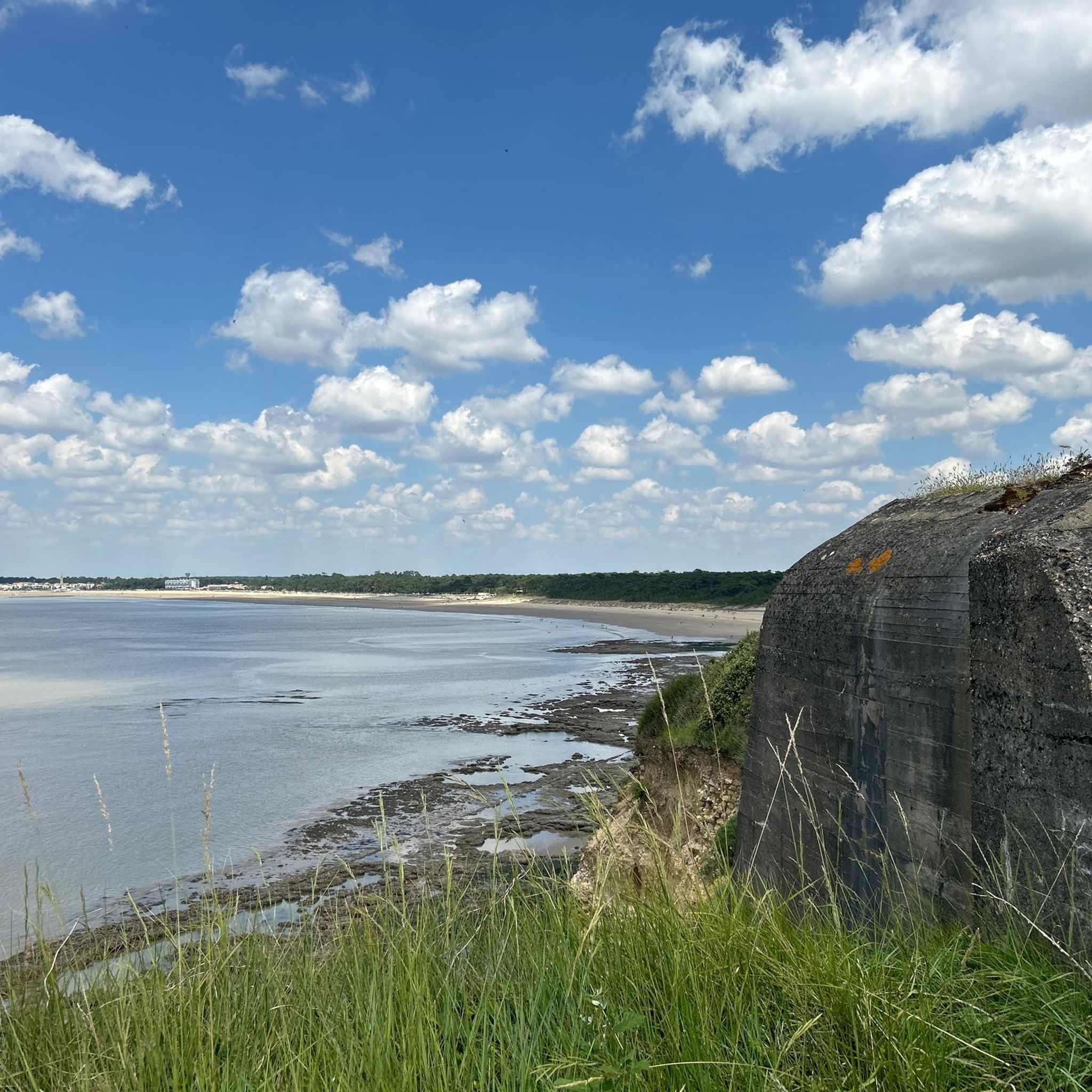
The Chay de Royan beach is a continuation of the Pigeonnier cove on the Côte d'Argent promenade and offers a larger area than the latter. This sandy beach is family-friendly with a restaurant on the beach. It is supervised during the summer season (mid-June to early September) and you can rent mattresses and cabins. The environment of this beach is very pleasant, there are fewer houses than on the other beaches in Royan. A large car park is available near this beach (left side). Access is possible for people with reduced mobility via an inclined plane with assistance (the slope is steep). Dogs are prohibited from April 1st to October 31st.
1
0
The Terre-Nègre lighthouse is a landmark forming a cylindrical tower a little over 26 meters high. Located on the tip of Terre-Nègre, in the commune of Saint-Palais-sur-Mer, in Charente-Maritime, it is intended to mark the southern pass of the Gironde estuary and to signal the presence of a dangerous sandbank, the "Anglais bar". This building forms a tower-column 3.16 meters in diameter and 26.60 meters high. A spiral staircase with a central core of 143 steps leads to a summit platform equipped with a directional light. The tower is painted in two different colors to make it more visible: the upper part is red, the lower part is white. The base of the lighthouse is hidden by a building that once served as the keeper's accommodation. The installation of a beacon at this location was considered as early as 1763. De Kearney took over the beaconing plan four years later. Construction work on the tower began in 1770 and was completed in 1773, probably under the supervision of the Bordeaux engineer Claude Tardy. In 1807, the tower was raised. However, this work was considered insufficient by some of the estuary's navigators. In 1834, sailors from the nearby port of Royan sent a request to the Ministry of the Navy to study the possibility of equipping the tower with a light. However, this request was postponed the following year due to lack of sufficient funds. A new request from sailors prompted the lighthouse commission to experiment with a first light in 1836. Finally, on October 15, 1838, a fixed white 4th order light was permanently installed. The latter was replaced in 1856 by a fixed white light of the 4th order of a small dioptric model with a reinforced sector of the 5th order catoptric. It was equipped with new lights in 1899 and 1904. In 1939, it was electrified. During the German occupation, the lighthouse served as an observatory for the soldiers of the Wehrmacht. Damaged during the fighting of 1945 (presence of breaches at the top of the tower), it was restored in the immediate post-war period. In March 1947, the lighthouse was operational again. A light with 3 occultations — changing every 12 seconds — was installed. Its colors are white, red and green. Its current range is 18 miles. Listed as a Historic Monument since 2011, the lighthouse is not open to visitors. However, it can be admired from the outside and a pretty passage provides direct access to the coastal path.
0
0

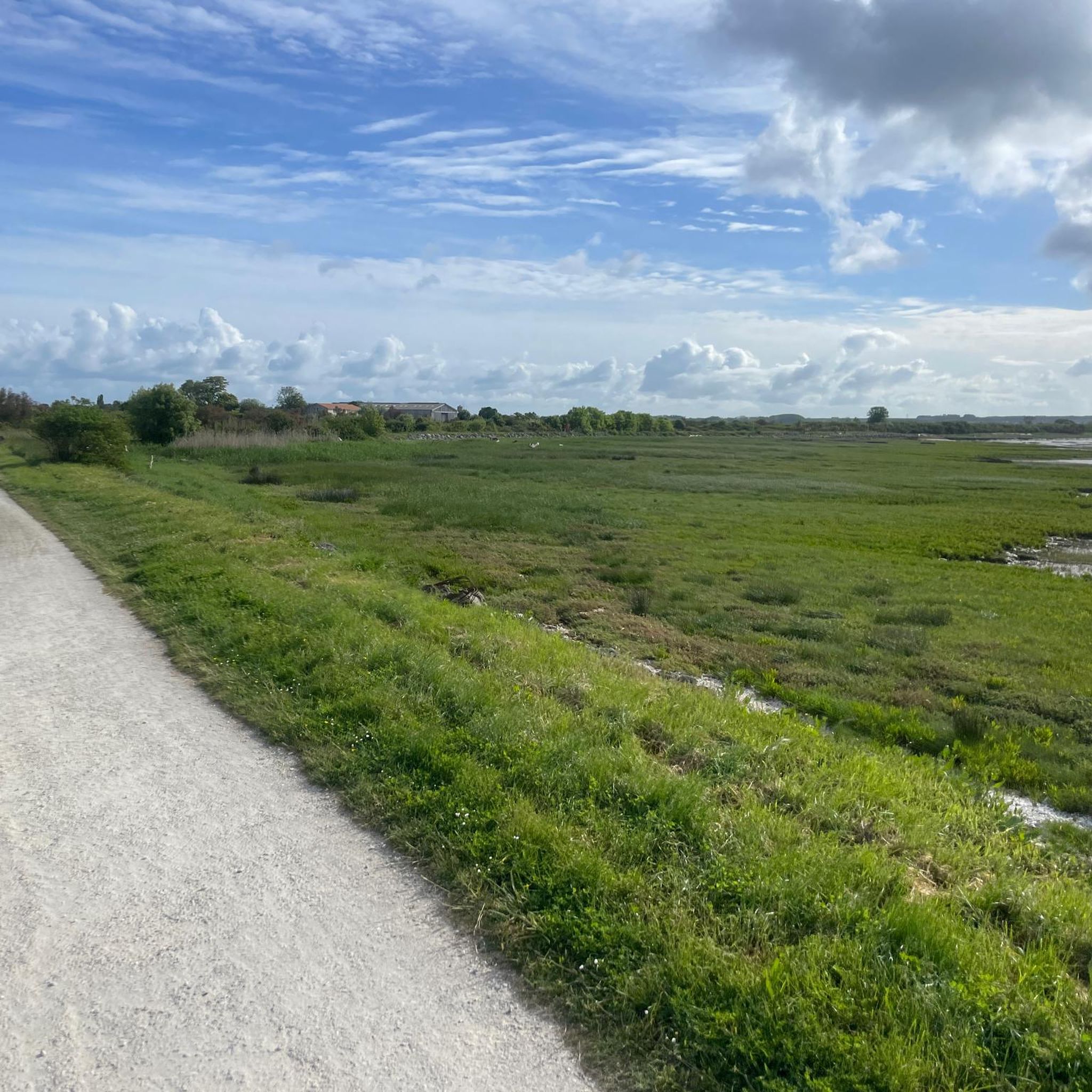
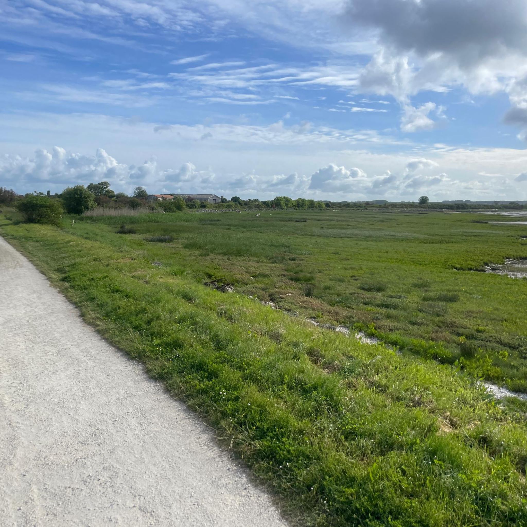
Cycle path directly on the coast
0
0
Frequently Asked Questions
How many mountain bike trails are available in Meschers-Sur-Gironde?
There are over 50 mountain bike trails around Meschers-Sur-Gironde, offering a diverse range of experiences from coastal paths to forest loops and marshland routes.
What kind of terrain can I expect on mountain bike trails in Meschers-Sur-Gironde?
The region offers varied terrain, including coastal paths with estuary views, shaded trails through the Forêt de Suzac, and flat, accessible routes through the Saint-Seurin-d'Uzet Marshes. You'll encounter limestone cliffs, sandy beaches, and traditional fishing huts along the way.
Are there mountain bike trails suitable for beginners in Meschers-Sur-Gironde?
Yes, Meschers-Sur-Gironde has plenty of options for beginners. Over 30 of the trails are rated as easy. An example is the Original fishing method – Charming Coastal Houses loop from Meschers-sur-Gironde, an easy 31.0 km path exploring coastal areas and traditional fishing huts.
Are there any challenging mountain bike routes for experienced riders?
Yes, for more experienced riders, there are several moderate and a few difficult trails. A moderate option is the This forest is very playful – Matata Caves loop from Parc de l'Estuaire, a 53.3 km route connecting forest trails with views towards the Matata Caves.
What are some interesting natural sights or landmarks I can see while mountain biking?
Many trails offer views of the Gironde estuary and its iconic 'carrelets' (fishing huts). You can also explore routes near the fascinating Grottes de Matata, ride through the scenic Suzac Forest, or pass by the Caillaud cliff at Talmont sur Gironde.
Are there any family-friendly mountain bike trails in the area?
Yes, many of the easier routes are suitable for families. The Marsh Cycle Path in Meschers-sur-Gironde offers a flat and accessible option, ideal for a relaxed family ride through scenic marshlands.
Can I find circular mountain bike routes in Meschers-Sur-Gironde?
Yes, many of the mountain bike trails are designed as loops, allowing you to start and finish at the same point. For example, the Cycle Path – this forest is very playful loop from Meschers-sur-Gironde is a 17.4 km circular route through forested areas.
What do other mountain bikers say about the trails in Meschers-Sur-Gironde?
The mountain bike trails in Meschers-Sur-Gironde are highly rated by the komoot community, with an average score of 4.6 stars from over 280 reviews. Riders often praise the diverse landscapes, from coastal views to forest paths, and the well-maintained routes.
Are there any trails that combine forest and coastal scenery?
Absolutely. The region is known for its blend of environments. The This forest is very playful – Cycle Path loop from Parc de l'Estuaire is a moderate 38.8 km route that takes you through forested areas and along cycle paths, often offering glimpses of the coast.
Are there any beaches accessible or visible from the mountain bike trails?
Yes, Meschers-Sur-Gironde is part of the 'Côte de Beauté' and features several sandy beaches. Trails often run along or near beaches like Saint-Georges-de-Didonne Beach, Chay Beach, and Conche de Gilet, providing refreshing maritime views.
What is the typical duration for a mountain bike ride in this area?
Ride durations vary significantly depending on the trail's length and difficulty. You can find shorter, easy routes like the Before the tip – plage de st georges loop from Parc de l'Estuaire, which takes about 38 minutes, or longer moderate trails that can take over 3 hours.
Most popular routes around Meschers-Sur-Gironde
Most popular attractions around Meschers-Sur-Gironde

Get inspired with the komoot mobile app


Explore more
Browse the best MTB trails in other regions.
