The best running trails around Sainte-Marie-De-Cuines
4.1
(27)
3,728
runners
145
runs
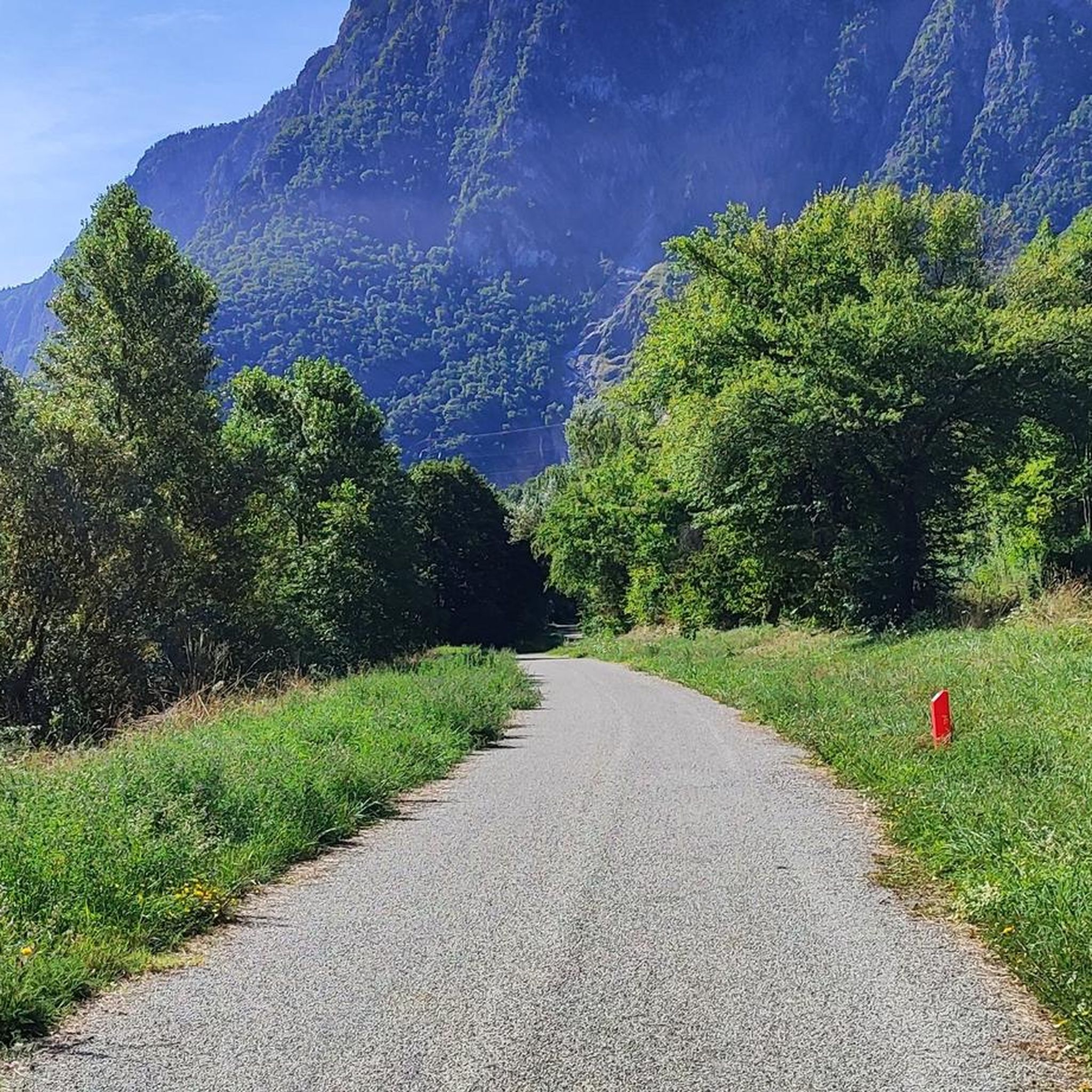
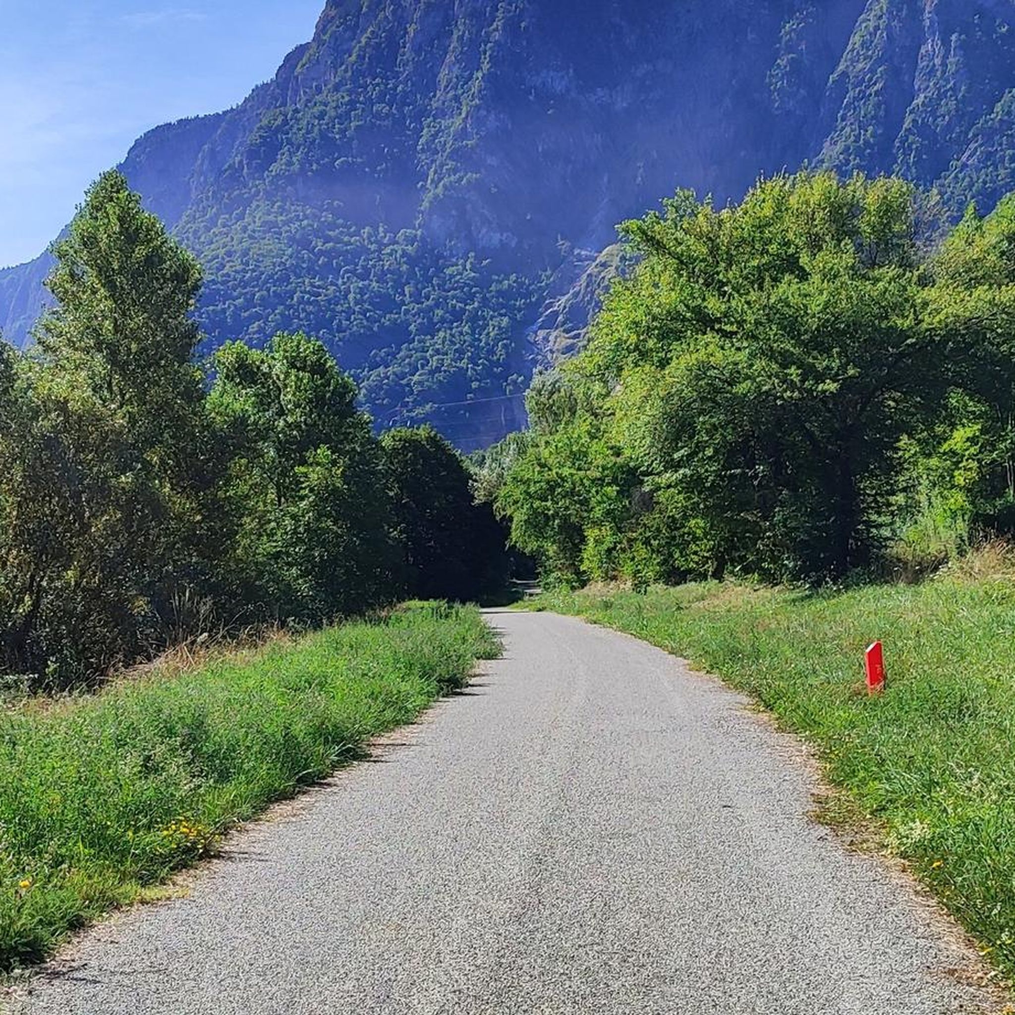
Jogging routes around Sainte-Marie-de-Cuines offer diverse terrain within the Maurienne valley, located in the Savoie department of southeastern France. The area features a mix of long plains along the Arc river and forested slopes, providing varied running environments. Routes can include sections with significant elevation changes, particularly towards the Glandon and Madeleine mountain passes. This landscape provides options for different running preferences, from flatter riverside paths to more challenging ascents.
Best jogging routes around Sainte-Marie-de-Cuines
- The most popular jogging route…
Last updated: July 1, 2026
23
runners
13.5km
01:25
90m
90m
Moderate run. Good fitness required. Mostly paved surfaces. Suitable for all skill levels.
23
runners
12.8km
01:21
110m
110m
Moderate run. Good fitness required. Mostly paved surfaces. Suitable for all skill levels.

Sign up for free
18
runners
14.6km
01:45
340m
340m
Hard run. Very good fitness required. Mostly paved surfaces. Suitable for all skill levels.
12
runners
6.54km
00:42
50m
50m
Moderate run. Good fitness required. Mostly paved surfaces. Suitable for all skill levels.
10
runners
17.8km
03:02
1,210m
1,210m
Hard run. Very good fitness required. Sure-footedness, sturdy shoes and alpine experience required.
Get access to more routes and recommendations from other explorers.
Sign up for free
Already have an account?
Our route recommendations are based on thousands of hikes, rides, and runs completed by other people on komoot.
Start today with a free account
Your next adventure awaits.
Login or Signup

Tips from the Community

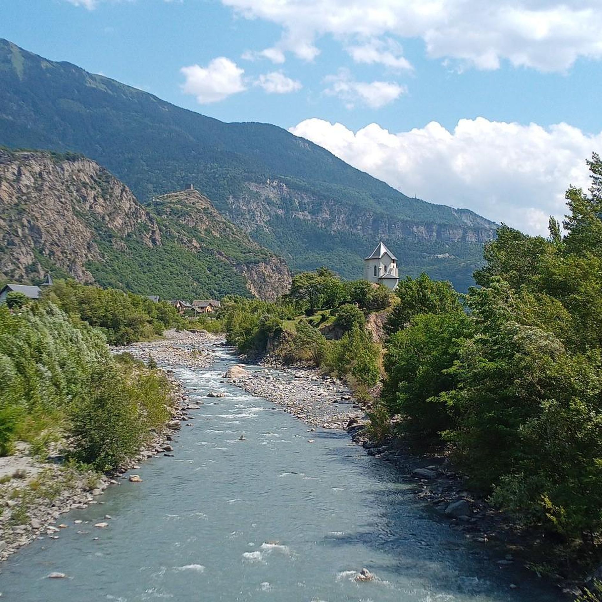
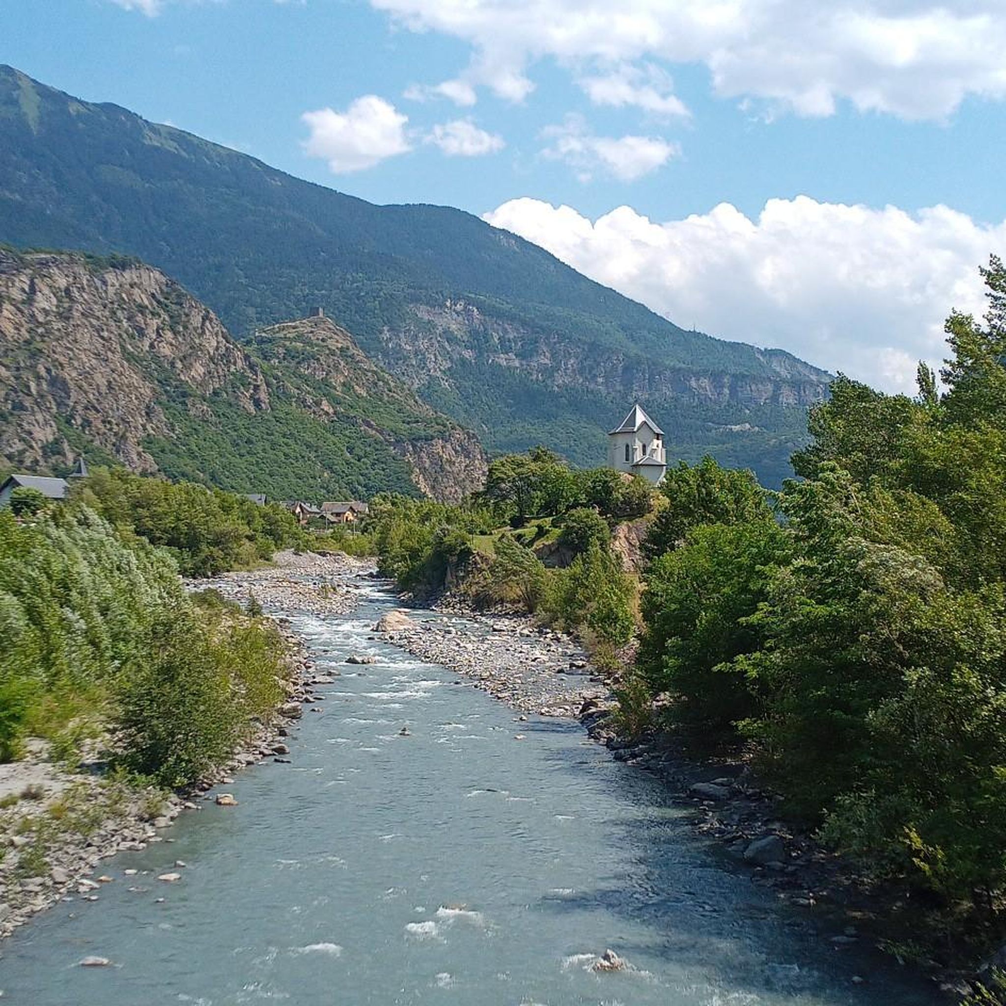
Beautiful church and small water spot.
2
0

Every cemetery has water... Drinkable or not 😂
0
0

Water in the cemetery.
0
0

Small pump track good for children
1
0

You can order something to eat/drink at the Refuge. Payment in cash only
0
0

A really useful watering hole which has saved me a few times. There aren't many places to refuel on the climb to the Col du Glandon and this is one of the last stops before starting the climb. On the other hand, it is also useful if you go down to the valley.
1
0
Frequently Asked Questions
How many running routes are available in Sainte-Marie-De-Cuines?
There are over 150 running routes around Sainte-Marie-De-Cuines, offering a wide variety of options for all skill levels. These include routes along the Arc river, through forested slopes, and towards the challenging mountain passes.
What kind of terrain can I expect on the running trails in Sainte-Marie-De-Cuines?
You'll find a diverse range of terrain, from long, relatively flat plains along the Arc river to the forested slopes of the Grand Châtelard. For those seeking more challenge, routes can include significant elevation changes as they approach the Glandon and Madeleine mountain passes.
Are there easy running routes suitable for beginners or casual joggers?
Yes, Sainte-Marie-De-Cuines offers several easy running routes. For instance, the area features flatter paths along the Arc river that are ideal for a relaxed jog. While specific easy routes are not detailed here, komoot lists 6 easy routes out of the total available, ensuring options for all abilities.
What do other runners say about the trails in Sainte-Marie-De-Cuines?
The running trails in Sainte-Marie-De-Cuines are highly regarded by the komoot community, boasting an average rating of 4.3 stars from over 30 reviews. Runners often praise the varied terrain and scenic views, with over 3,000 individuals having explored the area using komoot.
Are there any family-friendly running trails in the area?
While specific 'family-friendly' designations aren't always explicit, the easier routes along the riverbanks or through less challenging forested areas would be suitable for families. Look for routes with minimal elevation gain for a more comfortable experience with children.
Can I bring my dog on the running trails?
Generally, dogs are welcome on many outdoor trails in France, especially in natural areas. However, it's always advisable to keep your dog on a leash, especially in populated areas or near wildlife. Specific regulations might apply in certain protected zones or private lands, so always check local signage.
Are there running routes with scenic views or interesting landmarks?
Absolutely! Many routes offer picturesque views. From locations like the tower of Châtel-André, you can enjoy fantastic views of the La Chambre basin. You might also encounter historical sites such as the remains of fortified houses like Château-Joli or the 12th-century tower of Châtel-André. For more specific points of interest, consider exploring highlights like Montvernier Hairpins or Great view over the needles of arves.
Are there any challenging running routes for experienced trail runners?
Yes, for experienced trail runners seeking a challenge, Sainte-Marie-De-Cuines offers routes with significant elevation changes, particularly those leading towards the mythical Glandon and Madeleine mountain passes. For example, the La Chambre Pumptrack – Lac de la Grande Léchère loop from La Chambre is a difficult route with over 1200m of elevation gain.
What is a good running route to get a feel for the local landscape?
A great option to experience the local landscape is the Running loop from Saint-Avre. This moderate 3.9-mile (6.3 km) trail takes about 40 minutes to complete and offers a good introduction to the valley's diverse scenery.
Are there any longer running routes available?
Yes, for longer runs, you can explore options like the Drinking Water at the Cemetery loop from Saint-Avre, which is a moderate 8.0-mile (13.0 km) path. Another popular choice is the Drinking Water at the Cemetery loop from Saint-Étienne-de-Cuines, a 7.7-mile (12.5 km) trail.
What is the best time of year to go running in Sainte-Marie-De-Cuines?
The Auvergne-Rhône-Alpes region, including Sainte-Marie-De-Cuines, is excellent for outdoor activities during spring, summer, and autumn. These seasons offer pleasant temperatures and clear trails. While winter running is possible, higher elevation routes might be affected by snow and ice, especially near the mountain passes.
Are there any circular running routes?
Many of the running routes in Sainte-Marie-De-Cuines are designed as loops, allowing you to start and finish in the same location. Examples include the Running loop from Saint-Avre and the Drinking Water at the Cemetery loop from Saint-Avre.
How accessible are the running trails by public transport or car parking?
Sainte-Marie-De-Cuines is located in the Maurienne valley, which is generally well-connected. While specific public transport links to trailheads vary, the village itself is accessible. For drivers, parking is typically available in or near the starting points of many routes, especially in the main villages like Saint-Avre or Saint-Étienne-de-Cuines.
Most popular routes around Sainte-Marie-De-Cuines
Most popular attractions around Sainte-Marie-De-Cuines

Get inspired with the komoot mobile app


Explore more
Browse the best Running Trails & Routes in other regions.
