The best road cycling routes around Sainte-Marie-De-Cuines
4.4
(524)
37,043
riders
96
rides
Road cycling routes around Sainte-Marie-De-Cuines are located in the Savoie department, within the Maurienne Valley of the Auvergne Rhône-Alpes region. The area features alpine landscapes and mountainous terrain, with the Arc River traversing the valley. It is positioned at the foot of several iconic mountain passes, including the Col du Glandon and the Col de la Madeleine, which are frequently part of major cycling events. The region offers a diverse range of road cycling routes, from shorter rides to demanding…
Last updated: July 15, 2026

4.6
(9)
400
riders
19.8km
02:26
1,530m
10m
Hard road ride. Very good fitness required. Mostly well-paved surfaces and easy to ride.
3.7
(3)
107
riders
20.1km
02:21
1,450m
70m
Hard road ride. Very good fitness required. Mostly well-paved surfaces and easy to ride.

Sign up for free
5.0
(10)
1,439
riders
102km
06:49
3,230m
3,230m
Hard road ride. Very good fitness required. Mostly well-paved surfaces and easy to ride.
4.7
(20)
1,400
riders
44.1km
02:51
1,290m
1,290m
Hard road ride. Very good fitness required. Mostly well-paved surfaces and easy to ride.
3.7
(3)
230
riders
31.6km
02:18
1,170m
1,170m
Hard road ride. Very good fitness required. Some segments of this route may be unpaved and difficult to ride.
Get access to more routes and recommendations from other explorers.
Sign up for free
Already have an account?
Our route recommendations are based on thousands of hikes, rides, and runs completed by other people on komoot.
Start today with a free account
Your next adventure awaits.
Login or Signup
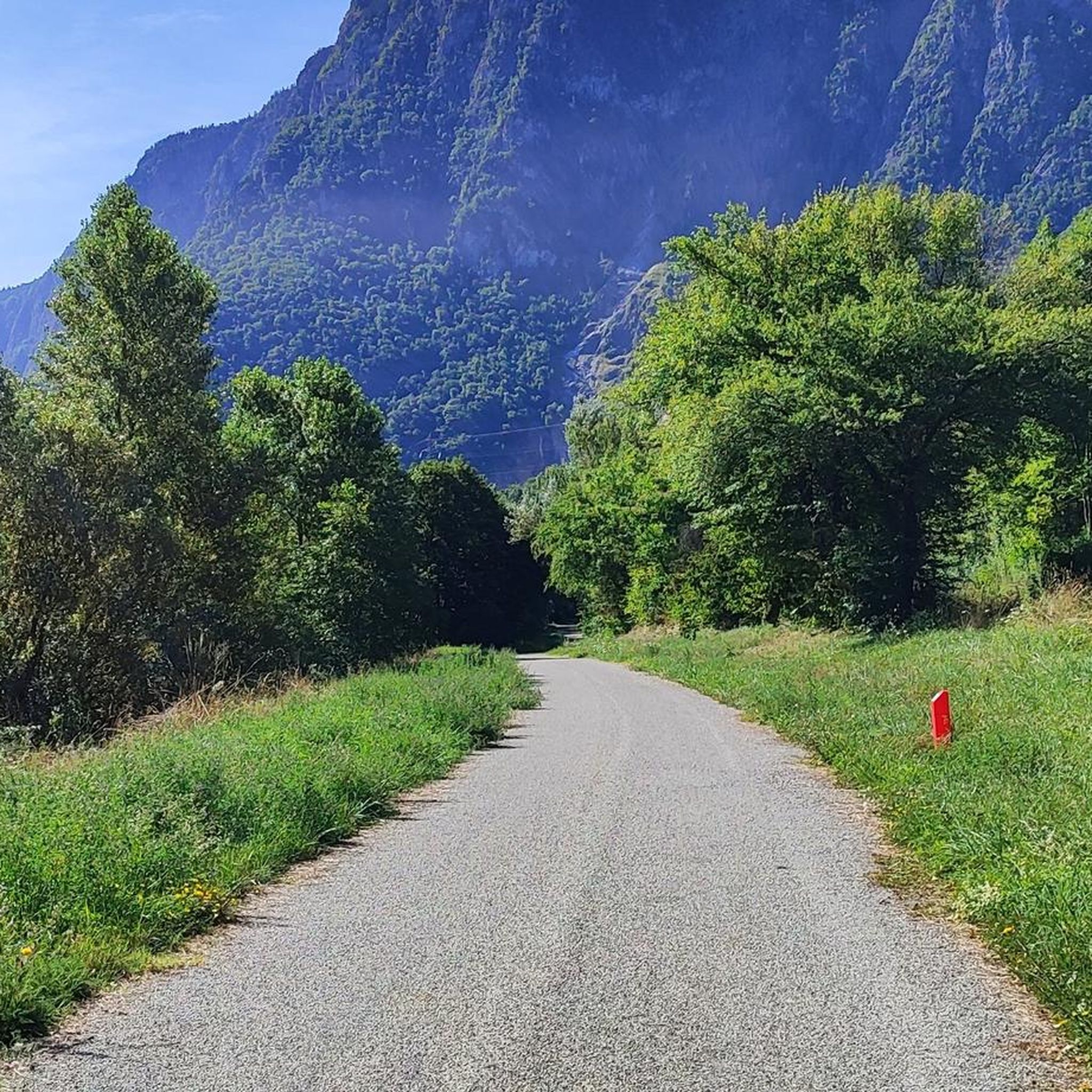
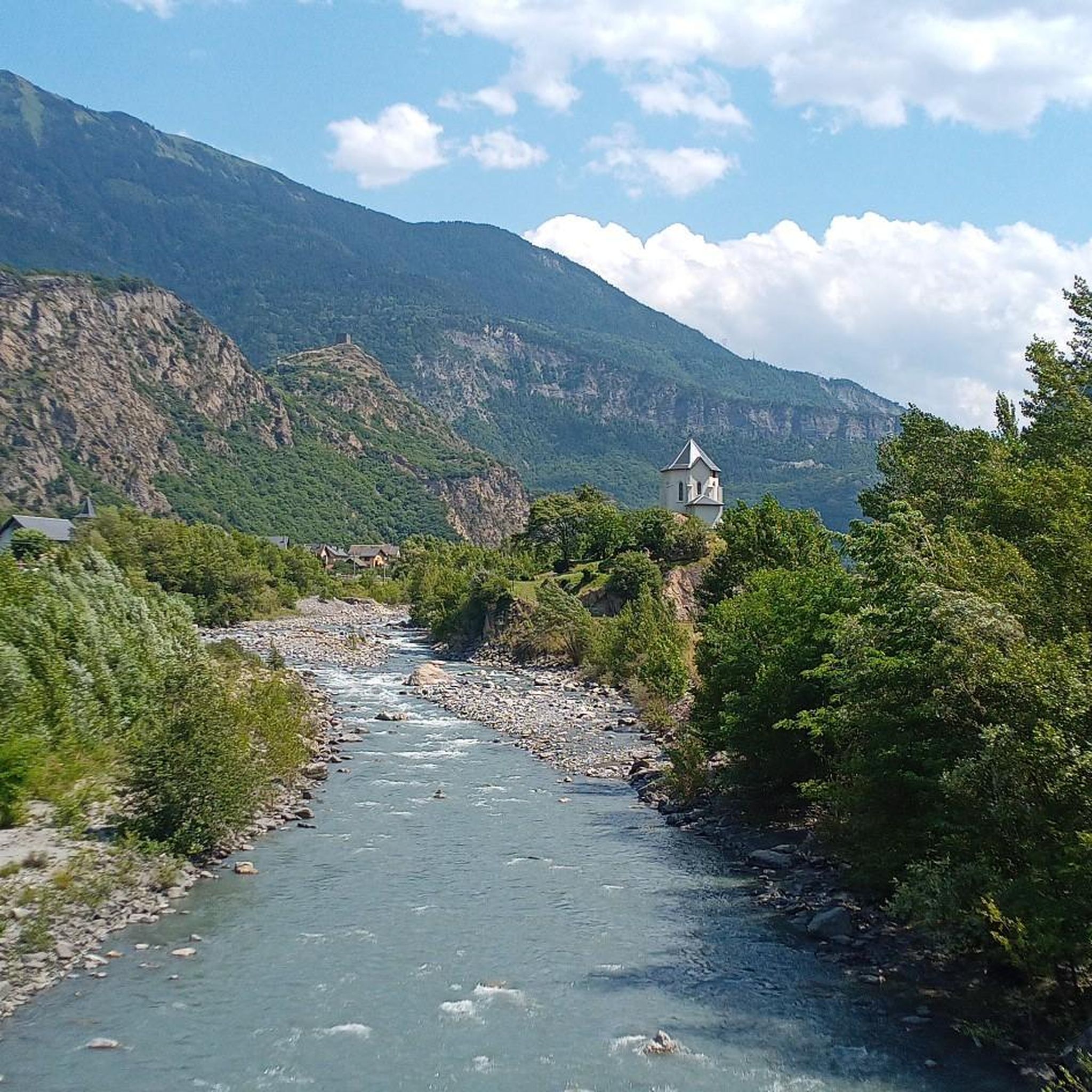
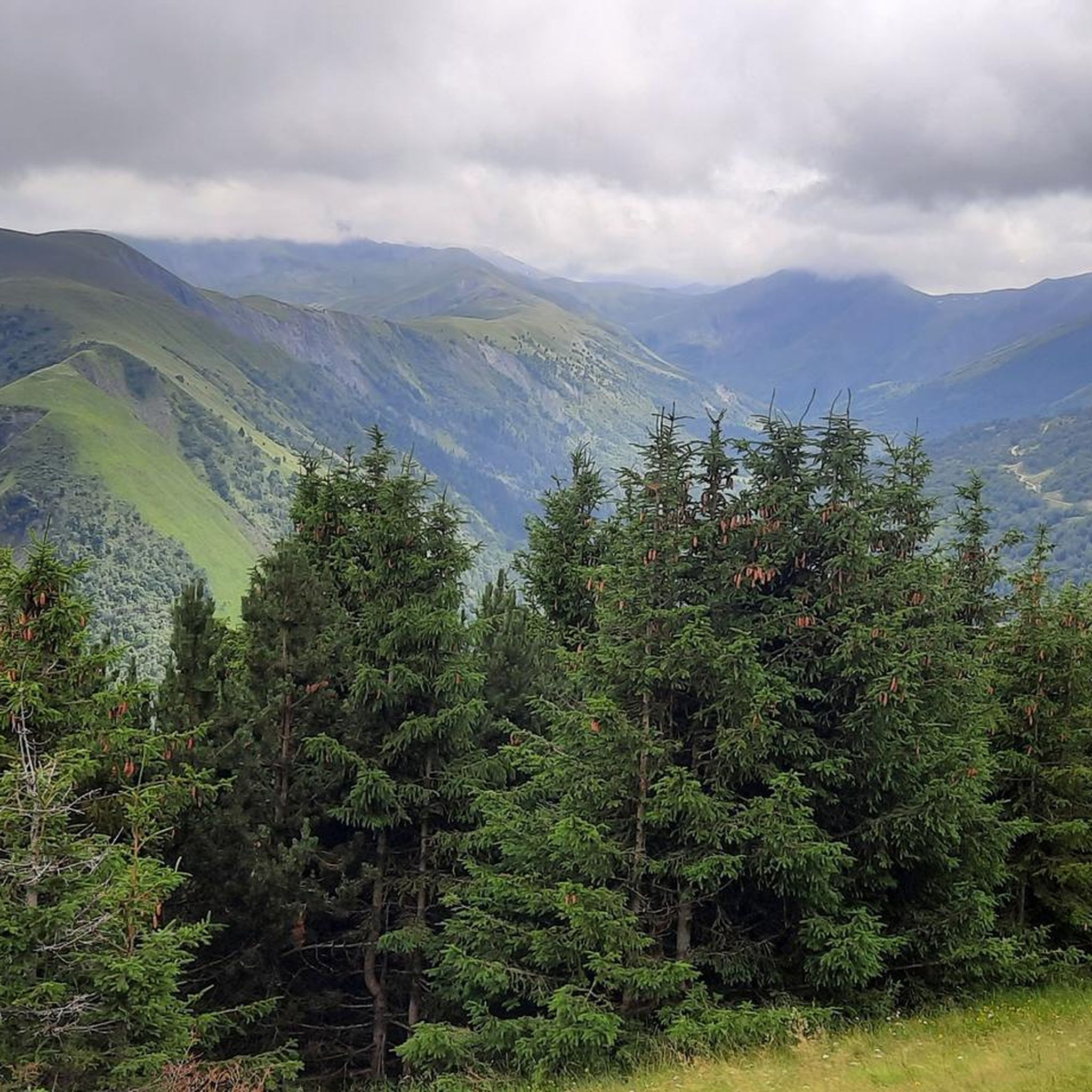
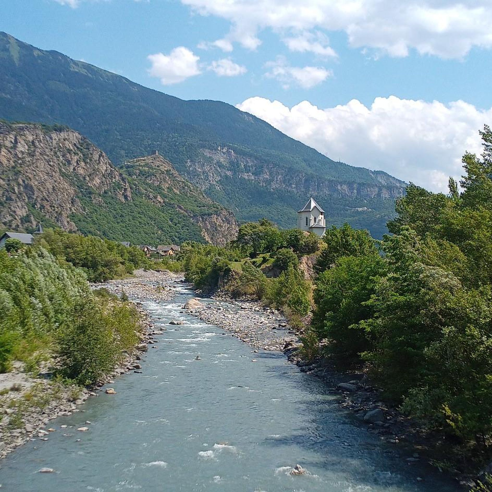

Tips from the Community

Transit town in the valley, various options for mountains.
2
0
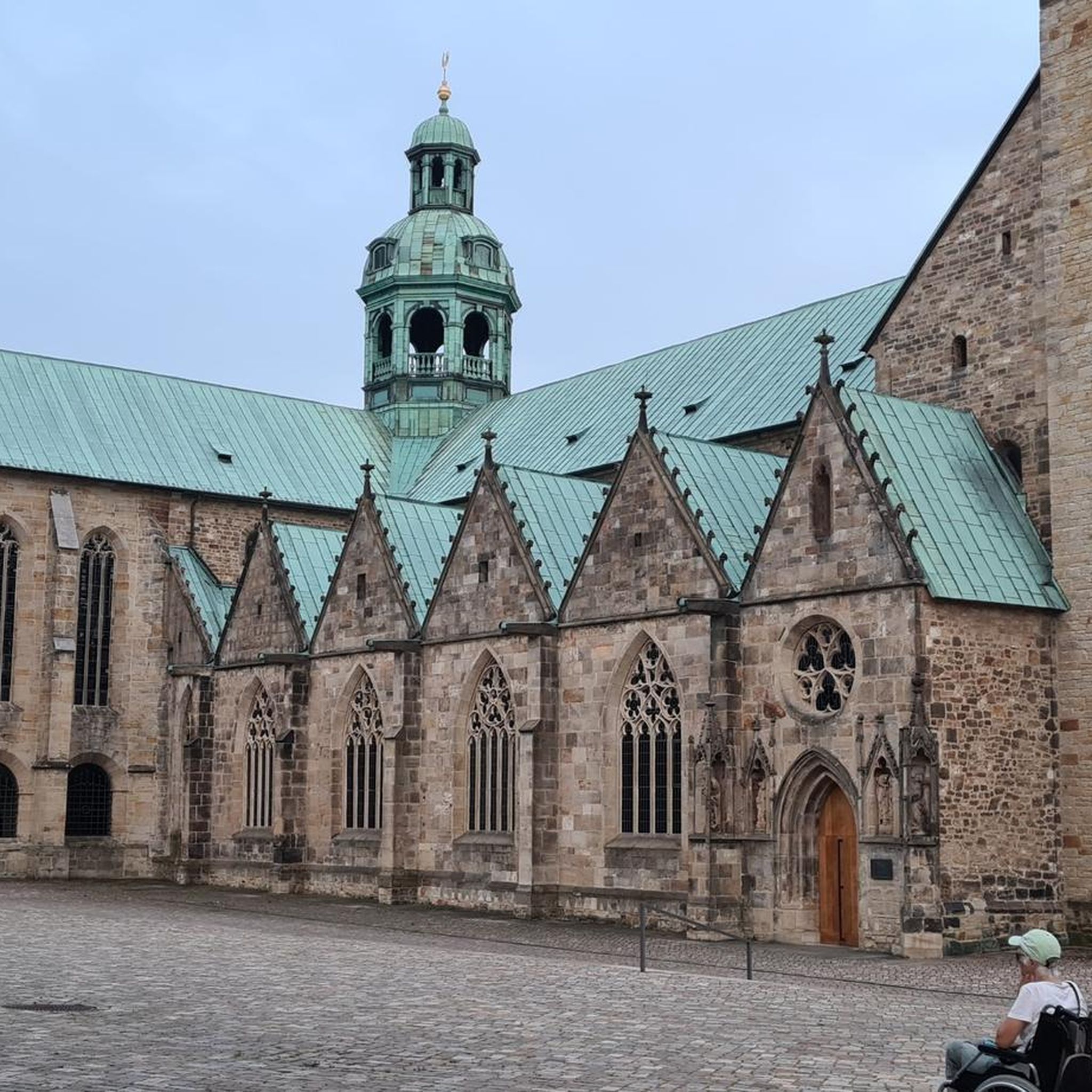
Church worth seeing.
2
0
Either to Madeleine or to Chaussy.
2
0
Nice descent, no longer the best asphalt. Beautiful views.
2
0
Narrow road, great views. Relatively little traffic.
2
0
Narrow road by the rock, great views.
2
0
Narrow road by the rock, great views.
2
0
Orderly ascent, nice pass with chapel and bar/restaurant. Some water points, but not many.
1
0
Frequently Asked Questions
How many road cycling routes are available around Sainte-Marie-De-Cuines?
There are over 95 road cycling routes available around Sainte-Marie-De-Cuines, offering a wide range of options for different skill levels and preferences.
What are the general difficulty levels of road cycling routes in Sainte-Marie-De-Cuines?
The routes cater to various abilities. You'll find approximately 16 easy routes, 32 moderate routes, and 47 difficult routes, including challenging climbs to iconic mountain passes.
What is the best time of year for road cycling in Sainte-Marie-De-Cuines?
The Maurienne Valley, where Sainte-Marie-De-Cuines is located, is renowned for cycling, with the season typically running from late spring through early autumn. This period offers the most favorable weather conditions for tackling the alpine passes.
Are there any circular road cycling routes available?
Yes, the region offers several excellent circular routes. For example, the challenging Col du Chaussy – Col du Mollard loop from Saint-Avre - La Chambre covers over 100 km and includes multiple mountain passes. Another option is the Montvernier Hairpins – Montvernier loop from Saint-Avre - La Chambre.
What natural features can I expect to see while cycling in the Maurienne Valley?
While cycling, you'll experience stunning alpine landscapes, the flowing Arc River, and forested slopes like those of the Grand Châtelard. The region is characterized by its mountainous terrain, offering breathtaking views throughout your ride.
Are there any historical landmarks or points of interest along the cycling routes?
Yes, the area boasts medieval remnants. You might encounter the imposing ruins of Château-Joli, an 11th-century fortress, or the 12th-century tower of Châtel-André, both offering spectacular views. The Church of Notre Dame de l'Assomption, with its 11th-century steeple, is another significant heritage site.
Where can I find scenic viewpoints on the road cycling routes?
Many routes offer incredible vistas. Notable viewpoints include the Great view over the needles of arves and the Spectacular Cliffside Road Above Montvernier. The mountain passes themselves, such as Col du Chaussy and Col de la Croix de Fer, also provide panoramic views.
Are there routes suitable for beginners or families?
Yes, while the region is famous for its challenging passes, there are shorter rides with moderate elevation gains suitable for beginners. These routes allow you to enjoy the scenery without tackling the most demanding climbs.
What are some of the most challenging mountain passes accessible from Sainte-Marie-De-Cuines?
Sainte-Marie-De-Cuines is ideally situated at the foot of legendary mountain passes. You can access the Col de la Madeleine and the Col du Glandon directly. Other challenging passes in the vicinity include the Col du Chaussy, Lacets de Montvernier, Col du Galibier, and Col du Télégraphe.
What do other road cyclists enjoy most about road cycling in Sainte-Marie-De-Cuines?
The area is highly rated by the komoot community, with an average score of 4.6 stars from over 500 reviews. Reviewers often praise the stunning alpine landscapes, the challenge of the iconic mountain passes, and the diverse range of routes catering to all skill levels.
Are there options for public transport to reach cycling starting points?
Sainte-Marie-De-Cuines is located in the Maurienne Valley, which has public transport options. For detailed information on local bus services or train connections to reach specific starting points, it's advisable to check local transport schedules.
Where can I find information about accommodation or amenities like cafes and restaurants in Sainte-Marie-De-Cuines?
Sainte-Marie-De-Cuines and nearby towns like Saint-Jean-de-Maurienne offer various amenities. For specific information on accommodation, cafes, and restaurants, you can consult local tourism resources such as tourisme-la-chambre.com.
Most popular routes around Sainte-Marie-De-Cuines
Most popular attractions around Sainte-Marie-De-Cuines

Get inspired with the komoot mobile app


Explore more
Browse the best Road cycling routes in other regions.
