
The best running trails around La Tranclière
4.4
(79)
3,108
runners
226
runs
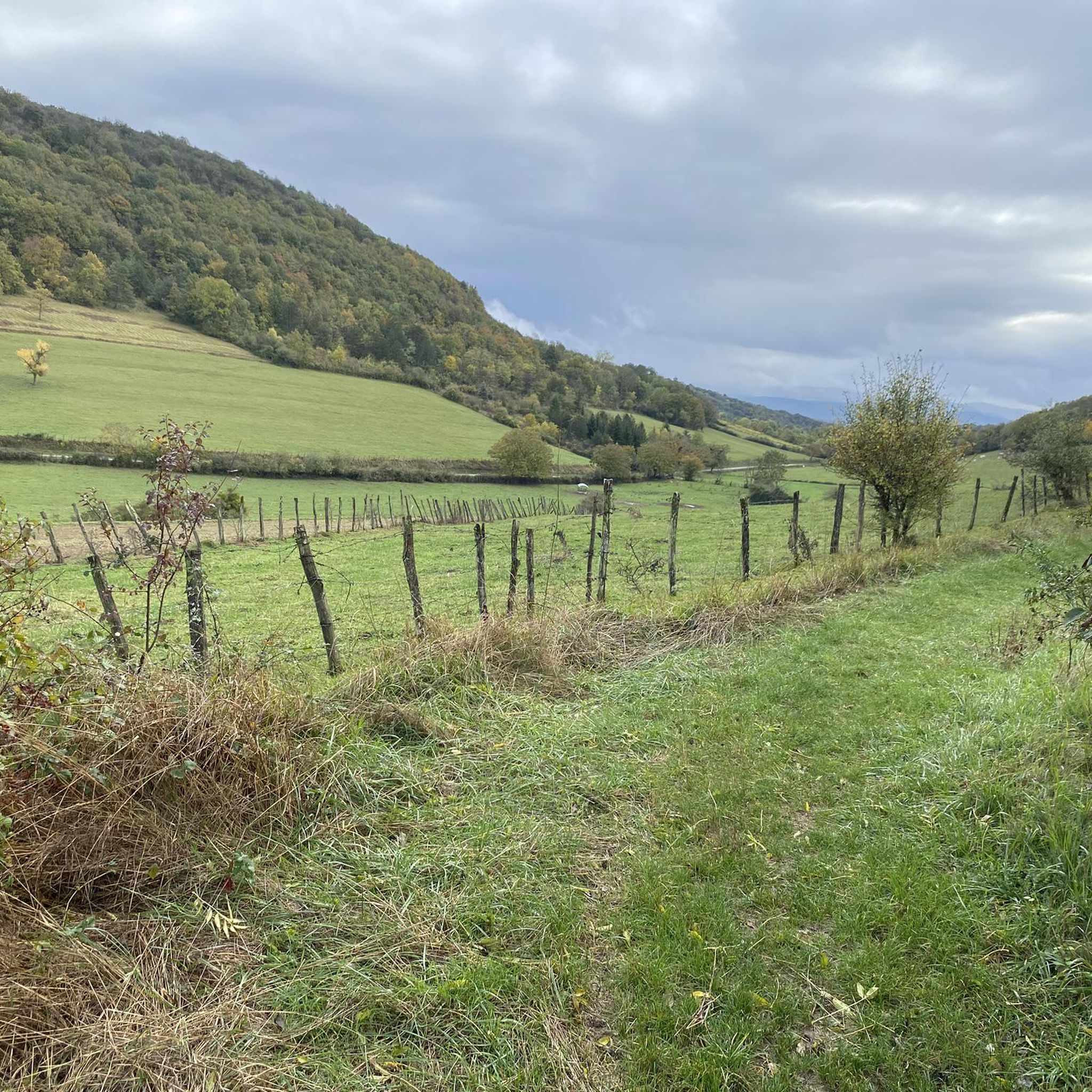
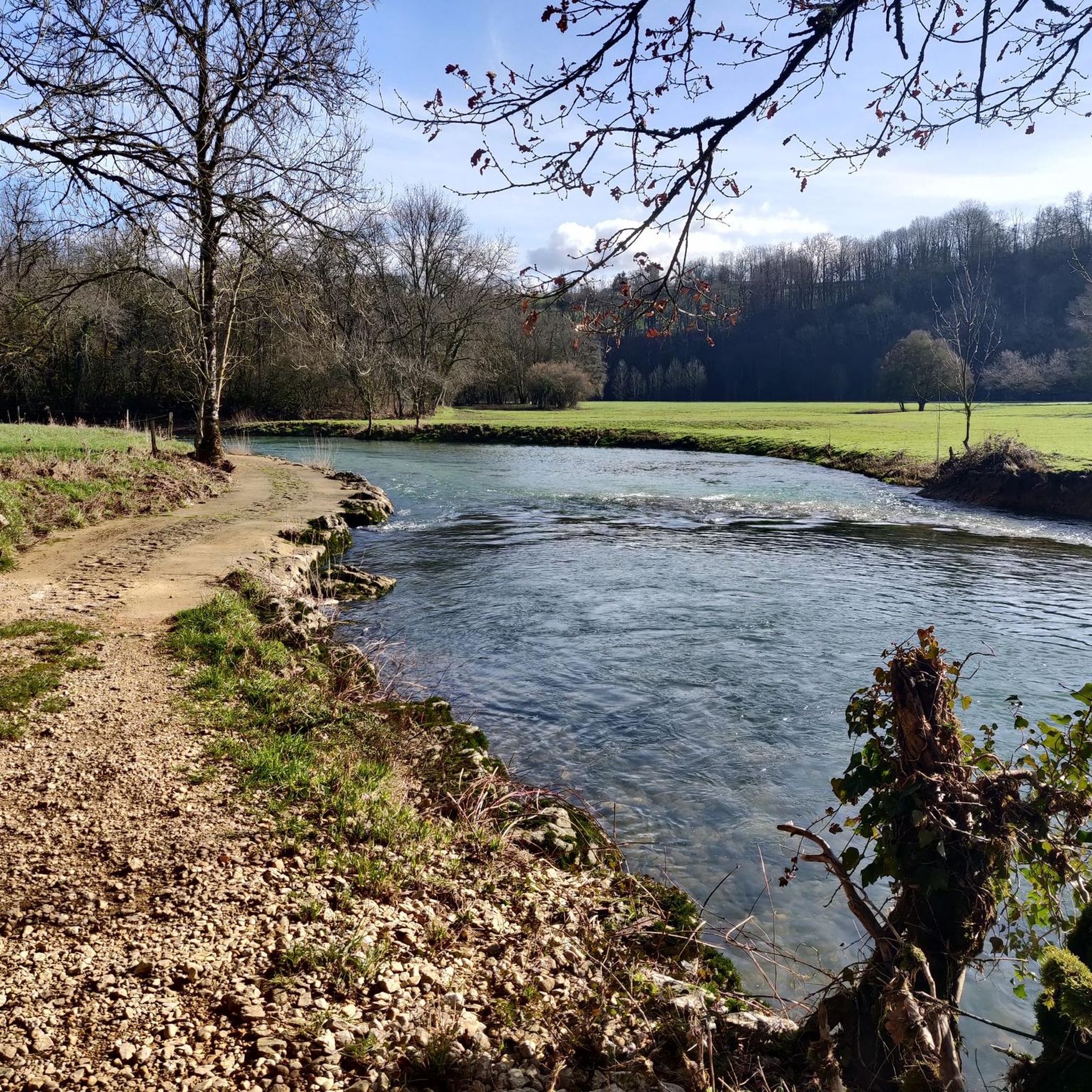
Jogging routes around La Tranclière offer a pleasant setting within the Ain department of eastern France. The region is characterized by varied natural landscapes, situated between the Dombes and Revermont areas. Runners can explore local trails that traverse serene environments, including areas with numerous small lakes in the nearby Dombes region. The terrain provides a mix of gentle paths and more undulating sections, suitable for different running preferences.
Best jogging routes around La Tranclière
- The most popular jogging route is…
Last updated: July 1, 2026
3.5
(2)
73
runners
19.6km
02:33
530m
530m
Hard run. Very good fitness required. Mostly paved surfaces. Suitable for all skill levels.
7
runners
6.03km
00:37
20m
20m
Moderate run. Good fitness required. Mostly paved surfaces. Suitable for all skill levels.

Sign up for free
4.7
(3)
8
runners
8.58km
01:02
180m
170m
Moderate run. Good fitness required. Mostly paved surfaces. Suitable for all skill levels.
5
runners
5.12km
00:32
30m
30m
Moderate run. Good fitness required. Mostly paved surfaces. Suitable for all skill levels.
13
runners
13.5km
01:34
60m
60m
Moderate run. Good fitness required. Mostly paved surfaces. Suitable for all skill levels.
Get access to more routes and recommendations from other explorers.
Sign up for free
Already have an account?
Our route recommendations are based on thousands of hikes, rides, and runs completed by other people on komoot.
Start today with a free account
Your next adventure awaits.
Login or Signup
Frequently Asked Questions
How many running routes are available around La Tranclière?
There are over 200 running routes available around La Tranclière, offering a wide variety of options for different preferences and fitness levels. The komoot community has explored more than 218 unique trails in the area.
What kind of terrain can I expect on the jogging routes near La Tranclière?
The terrain around La Tranclière is quite varied. You'll find a mix of gentle paths and more undulating sections, especially as the region sits between the tranquil Dombes area with its numerous small lakes and the more hilly Revermont. This provides diverse scenery for your runs.
Are there running routes suitable for beginners in La Tranclière?
Yes, La Tranclière offers several easy running routes, with 13 trails specifically graded as easy. These are perfect for beginners or those looking for a more relaxed run.
Are there any challenging long-distance running trails in the area?
Absolutely. For those seeking a challenge, there are 26 difficult routes available. One notable challenging trail is the Mont Pillon loop from Saint-Martin-du-Mont, which spans nearly 20 km and features significant ascents.
What is the best season for jogging in La Tranclière?
La Tranclière offers pleasant jogging conditions throughout much of the year. Spring and autumn generally provide mild temperatures and beautiful scenery. Summer can be warm, so early morning or late evening runs are often preferred. Winter runs are also possible, though conditions may vary.
Are there circular running routes available in La Tranclière?
Yes, many of the running routes in La Tranclière are designed as loops, allowing you to start and finish in the same location. For example, the Running loop from Dompierre-sur-Veyle is a popular circular option.
What natural features or landmarks can I see while running near La Tranclière?
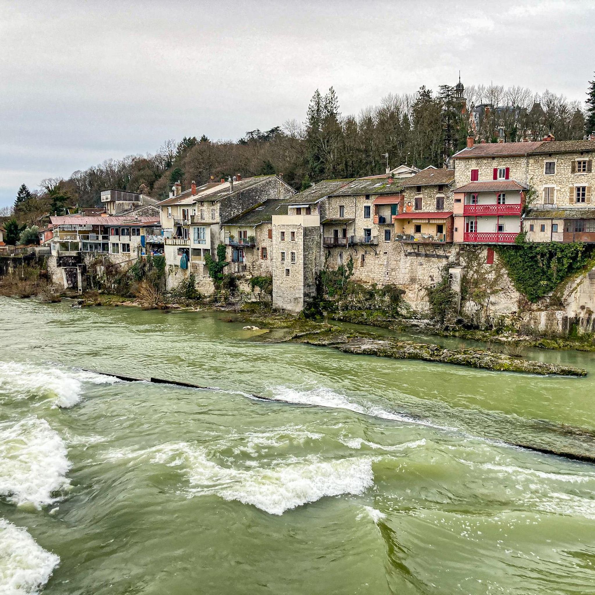
While running near La Tranclière, you can encounter various natural features and historical sites. The nearby Dombes region is famous for its thousands of small lakes, offering unique landscapes. You might also find yourself near highlights such as Lake Bouvent or Priay Lake. The area also boasts historical sites like Poncin — Medieval Village.
Are the running trails around La Tranclière family-friendly?
Many of the easier and moderate routes around La Tranclière are suitable for families. The varied terrain includes gentle paths that can be enjoyed by different age groups, making it a good destination for family outings.
Can I bring my dog on the jogging routes in La Tranclière?
Generally, dogs are welcome on many outdoor trails in the region. However, it's always recommended to keep your dog on a leash, especially in nature reserves or agricultural areas, and to check for specific local regulations or signage on individual routes.
Where can I find parking for the running trails in La Tranclière?
Specific parking information varies by starting point. Many routes, especially those starting from villages like Saint-Martin-du-Mont or Dompierre-sur-Veyle, will have designated parking areas nearby. It's advisable to check the route details on komoot for specific parking recommendations for your chosen trail.
Is La Tranclière accessible by public transport for runners?
While La Tranclière is a small commune, its proximity to larger towns like Bourg-en-Bresse (about 11 km away) suggests that public transport options might connect to the general area. However, direct public transport access to specific trailheads might be limited, so planning your journey in advance is recommended.
What do other runners say about the trails in La Tranclière?
The running routes in La Tranclière are highly regarded by the komoot community, with an average rating of 4.2 stars from over 60 reviews. Runners often praise the varied natural landscapes, the tranquility of the Dombes region, and the well-maintained paths that cater to different ability levels.
Are there any moderate running routes that offer varied scenery?
Yes, a popular moderate route is the Grotte de la Roche Boquette – Abri du roseau loop from Saint-Martin-du-Mont. This 11.1 km path includes a gentle climb over a local hill, providing diverse and engaging scenery throughout your run.
Most popular attractions around La Tranclière

Get inspired with the komoot mobile app


Explore more
Browse the best Running Trails & Routes in other regions.
