The best road cycling routes around La Tranclière
4.5
(127)
3,583
riders
126
rides
Road cycling routes around La Tranclière offer diverse terrain within the Ain department of eastern France. The region features a mix of plains, rolling countryside, and challenging hilly sections, including notable ascents in the Revermont area. Cyclists can find routes along rivers and waterways in the flat Dombes region, through vineyards, and within forested areas. This varied landscape provides options for different road cycling preferences, from leisurely rides to demanding climbs.
Best road cycling routes around La Tranclière
- The most…
Last updated: July 4, 2026
12
riders
43.4km
02:20
670m
670m
Moderate road ride. Good fitness required. Mostly well-paved surfaces and easy to ride.
15
riders
Moderate road ride. Good fitness required. Mostly well-paved surfaces and easy to ride.

Sign up for free
16
riders
Moderate road ride. Good fitness required. Mostly well-paved surfaces and easy to ride.
6
riders
41.8km
02:02
620m
620m
Moderate road ride. Good fitness required. Mostly well-paved surfaces and easy to ride.
4.0
(1)
6
riders
51.9km
02:30
700m
700m
Moderate road ride. Good fitness required. Mostly well-paved surfaces and easy to ride.
Get access to more routes and recommendations from other explorers.
Sign up for free
Already have an account?
Our route recommendations are based on thousands of hikes, rides, and runs completed by other people on komoot.
Start today with a free account
Your next adventure awaits.
Login or Signup
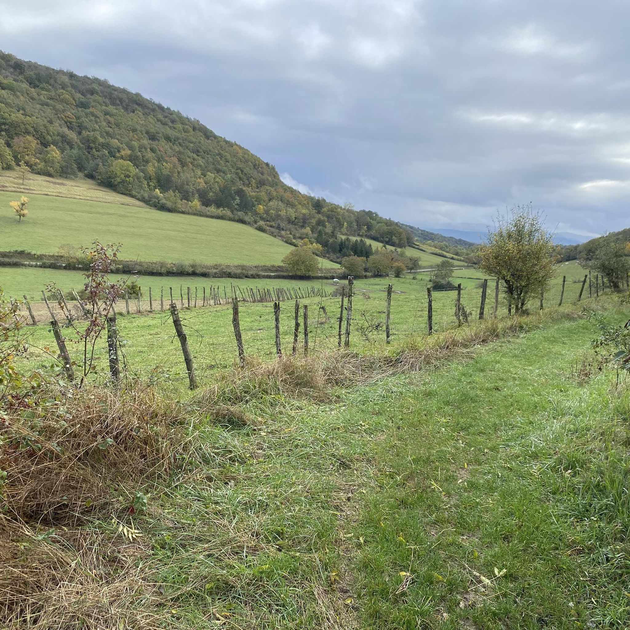

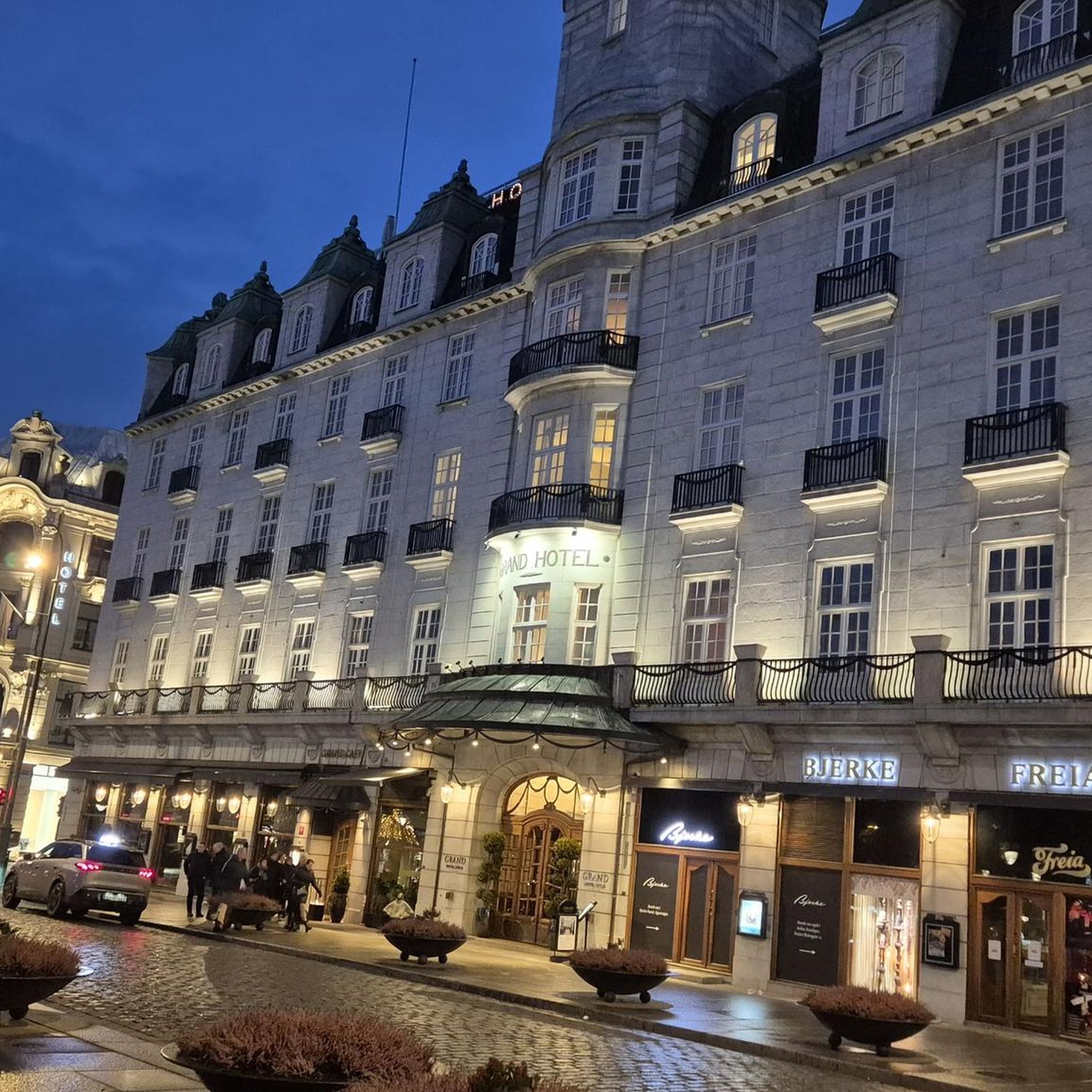
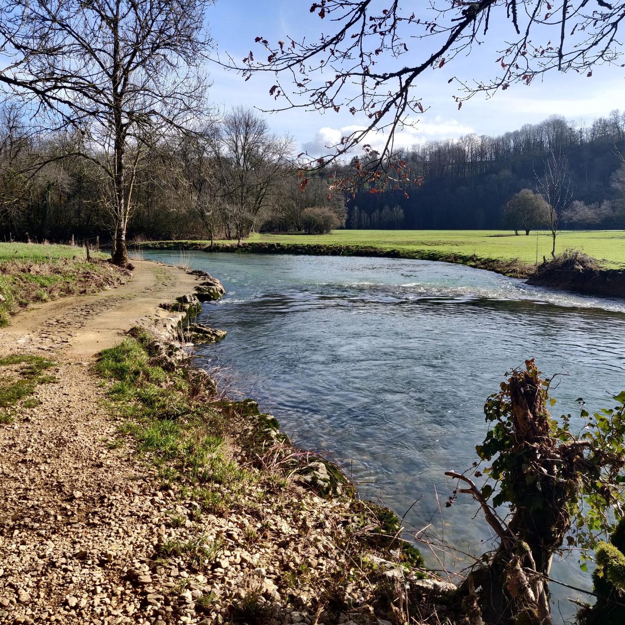
Tips from the Community

After 7 years of difficult work, the two-arched bridge in Neuville-sur-Ain was put into service in 1777. The construction of the bridge had brought masons and stonemasons from different regions, some of whom came from Beauce seem to have settled and given their name to the hamlet of Bosseron (for Beaucerons). It is a structure listed in the inventory of protected monuments since August 1946. https://www.neuvillesurain.fr/patrimoine-et-tourisme/quartiers-hameaux/neuville-le-bas/
0
0


very beautiful waterfall near Bourg-en-Bresse
2
0

View of the Ain from the restaurant
0
0

View from the bridge over the river Le Suran below the Châteauvieux
0
0

Frequently Asked Questions
How many road cycling routes are available around La Tranclière?
There are over 100 road cycling routes around La Tranclière, offering a wide variety of options for different skill levels. The Ain department, where La Tranclière is located, boasts over 2,222 kilometers of cycling routes in total.
What types of terrain can I expect on road cycling routes near La Tranclière?
The region offers diverse terrain. To the west, the Dombes region features relatively flat, paved routes through its 'thousand ponds' landscape, ideal for leisurely rides. To the east, the Revermont region, in the foothills of the Jura mountains, presents more challenging experiences with forests, meadows, hillsides, and significant climbs, offering panoramic views over the Bresse plain and distant mountain ranges.
Are there easy road cycling routes suitable for beginners around La Tranclière?
Yes, approximately 39 easy road cycling routes are available. The Dombes region, with its flat and less-trafficked rural paths, is particularly well-suited for beginners and leisurely rides. You can find routes that showcase the unique pond landscapes and bird observatories.
Where can I find challenging road cycling routes with significant climbs?
For challenging routes, head towards the Revermont region. This area is known for its 'calf-pulling passes' and offers routes with substantial elevation gain. An example is the Neuville sur ain – Pisseloup Pass loop from Saint-Martin-du-Mont, which is a difficult route with over 1300 meters of elevation gain.
What are some examples of moderate road cycling routes in the area?
A popular moderate route is the Church – View of the Viaduc de Poncin loop from Saint-Martin-du-Mont, which covers about 53 kilometers with over 660 meters of elevation. Another option is the Route Fleurie du Revermont – Montmerle Ascent loop from Saint-Martin-du-Mont, a 51-kilometer route with over 500 meters of ascent, offering scenic views through the Revermont.
Are there any circular road cycling routes around La Tranclière?
Yes, many of the road cycling routes around La Tranclière are designed as loops, allowing you to start and end at the same point. Examples include the Neuville sur ain – Pont de Pont-d'Ain loop from Saint-Martin-du-Mont and the Simandre-sur-Suran – Grand-Corrent Climb loop from Saint-Martin-du-Mont, both offering varied terrain and scenic views.
What can I see along the road cycling routes or nearby?
Beyond the natural beauty of the Dombes ponds and Revermont hills, you can explore several attractions. Consider visiting the historic Brou Abbey in Bourg-en-Bresse, or the charming Poncin — Medieval Village. The region also features beautiful lakes like Priay Lake and Lake Bouvent, which can be incorporated into your cycling trips.
What do other road cyclists enjoy the most about road cycling in La Tranclière?
The area is highly rated by the komoot community, with an average score of 4.4 stars from over 100 reviews. Cyclists often praise the diverse landscapes, from the tranquil pond-filled routes of the Dombes to the challenging climbs and panoramic views of the Revermont. The variety ensures there's something for every skill level.
Are there any specific regions known for scenic viewpoints on road bike trails?
Yes, the Revermont region is particularly known for its scenic viewpoints. As you ascend its hills and passes, you'll be rewarded with breathtaking panoramic views over the Bresse plain, the Monts du Lyonnais, the Jura, and even the distant Alps on clear days.
Is the area around La Tranclière suitable for multi-day road cycling tours?
Absolutely. The Ain department, including the area around La Tranclière, is well-equipped for multi-day cycling. The diverse terrain allows for varied itineraries, combining the flat, picturesque Dombes with the more challenging Revermont. You can find resources for multi-day tours, such as the 'L'Ain à Vélo' itinerary, which explores the Dombes region over several days. For more information on cycling in the Dombes, you can visit Dombes Tourisme.
What is the best time of year for road cycling in La Tranclière?
The spring and autumn months generally offer the most pleasant conditions for road cycling around La Tranclière, with milder temperatures and beautiful scenery. Summer can also be enjoyable, especially for early morning or late afternoon rides, though some days might be warmer. Always check local weather forecasts before heading out.
Are there options for less crowded road bike trails?
Many of the rural paths, especially in the Dombes region, are less trafficked, offering a peaceful cycling experience. Exploring routes that venture away from main roads into the smaller villages and natural areas will generally provide a quieter ride. The vast network of routes in the Ain department ensures you can often find serene paths.
Most popular attractions around La Tranclière

Get inspired with the komoot mobile app


Explore more
Browse the best Road cycling routes in other regions.
