The best walks and hikes around La Tranclière
4.5
(289)
1,617
hikers
95
hikes
Hiking around La Tranclière offers diverse landscapes situated between the Revermont and Dombes regions in eastern France. The Revermont area features trails with elevation changes, forests, and panoramic views of the Bugey and Bressan plain. To the west, the Dombes region is characterized by numerous ponds and wetlands, providing different types of hiking experiences. The area also includes natural features such as the springs of the Reyssouze river and various waterfalls.
Best hiking trails around La Tranclière
- The most popular…
Last updated: June 27, 2026
4.7
(10)
34
hikers
12.3km
03:30
290m
290m
Moderate hike. Good fitness required. Easily-accessible paths. Suitable for all skill levels.
4.5
(4)
22
hikers
7.94km
02:21
220m
220m
Moderate hike. Good fitness required. Easily-accessible paths. Suitable for all skill levels.

Sign up for free
18
hikers
16.9km
04:57
450m
450m
Moderate hike. Good fitness required. Easily-accessible paths. Suitable for all skill levels.
3
hikers
10.6km
03:04
260m
260m
Moderate hike. Good fitness required. Easily-accessible paths. Suitable for all skill levels.
5.0
(2)
5
hikers
7.19km
01:59
120m
120m
Easy hike. Great for any fitness level. Easily-accessible paths. Suitable for all skill levels.
Get access to more routes and recommendations from other explorers.
Sign up for free
Already have an account?
Our route recommendations are based on thousands of hikes, rides, and runs completed by other people on komoot.
Start today with a free account
Your next adventure awaits.
Login or Signup

Tips from the Community

The "Reed Shelter" is a rock cavity inhabited by Paleolithic humans that was excavated during the summer of 1985. Various finds were discovered by archaeologists, including a perforated deer canine tooth, microliths (small carved stones), and a harpoon made from a fragment of deer antler. These objects are attributed to the Azilian period (around 8000 BC).
2
0
Frequently Asked Questions
What types of landscapes can I expect to see while hiking around La Tranclière?
The region offers a diverse landscape. To the east, the Revermont features trails with significant elevation changes, dense forests, and panoramic views of the Bugey, the Bressan plain, the Monts du Beaujolais, and even the Lyon region. To the west, the Dombes region is characterized by its numerous ponds and wetlands, providing unique opportunities for wildlife observation around areas like the Étang des Léchères.
How many hiking trails are available in the La Tranclière area?
There are nearly 100 hiking routes available around La Tranclière. These trails cater to various fitness levels, with 38 easy routes, 53 moderate routes, and a few more challenging options.
Are there any easy, family-friendly hikes suitable for all ages?
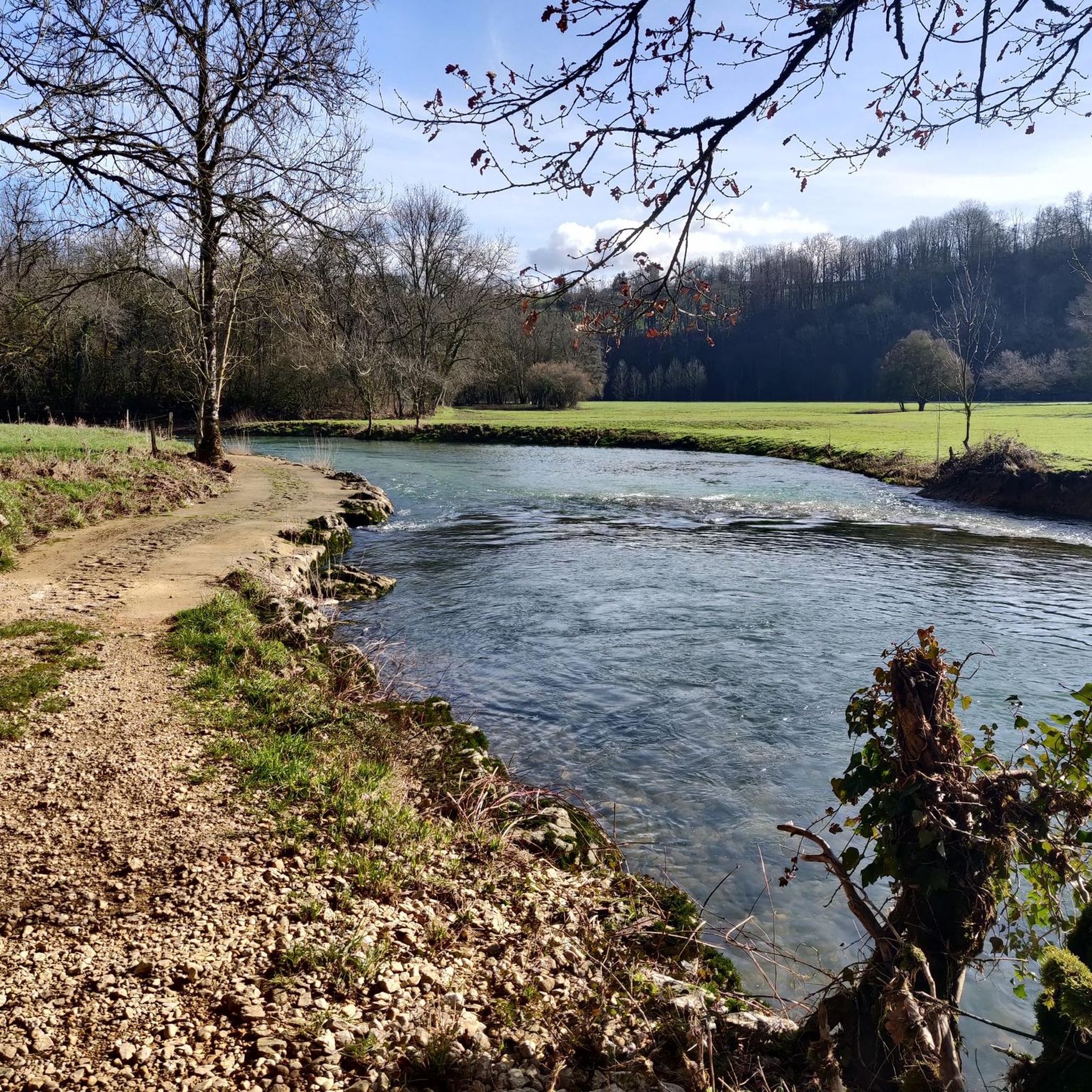
Yes, the area offers several easy trails perfect for families. For instance, the Stepping Stones on the Suran – Abri du Roseau loop from Turgon is an easy 7.2 km route that takes less than 2 hours to complete, offering a gentle exploration of the local scenery. The Dombes region, with its flat circuits around ponds, also provides excellent easy options for wildlife spotting.
Can I find circular hiking routes in La Tranclière?
Absolutely. Many of the trails around La Tranclière are designed as circular routes, allowing you to start and end at the same point. Popular examples include the Abri du Roseau loop from Saint-Martin-du-Mont, which is a moderate 12.3 km trail, and the Mount Pillon loop from Saint-Martin-du-Mont, a longer moderate option at 16.9 km.
Are there any waterfalls or natural springs to discover on the hikes?
Yes, the region features several natural water elements. Some trails lead to the springs of the Reyssouze river, and local routes, particularly near Ceyzériat, mention discovering 'very pretty waterfalls with their streams' and various fountains.
What are some interesting landmarks or attractions near the hiking trails?
Beyond the natural beauty, you can explore several cultural and historical sites. Highlights include the remarkable Brou Abbey in Bourg-en-Bresse, the medieval village of Poncin, and the historic La Tranclière Tower. The area also boasts beautiful lakes such as Lake Bouvent and Priay Lake, as well as the extensive ponds of the Dombes.
What do other hikers enjoy most about the trails around La Tranclière?
The area is highly rated by the komoot community, with an average score of 4.5 stars from over 275 reviews. Hikers often praise the varied terrain, from the elevated forests of the Revermont to the tranquil wetlands of the Dombes, and the well-maintained paths that offer options for all ability levels.
Are there any challenging hikes for experienced hikers?
While most routes are easy to moderate, there are a few more challenging trails available for those seeking a greater test. For example, the Mount Pillon loop from Saint-Martin-du-Mont, at 16.9 km with significant elevation gain, offers a more strenuous experience, typically taking nearly 5 hours to complete.
What is the best time of year to go hiking in La Tranclière?
The diverse landscapes of La Tranclière make it suitable for hiking across multiple seasons. Spring and autumn offer pleasant temperatures and vibrant scenery, with blooming flowers or colorful foliage. Summer provides lush green environments, especially in the shaded forests of the Revermont, while the Dombes region is excellent for birdwatching during migratory periods.
Are there opportunities for wildlife spotting on the trails?
Yes, particularly in the Dombes region. The numerous ponds and wetlands, such as the Étang des Léchères, are renowned for their rich birdlife. Hikers are often recommended to bring binoculars to observe the diverse aquatic species and other wildlife that inhabit these areas.
Can I access hiking trails using public transport?
While specific public transport links directly to trailheads in La Tranclière may be limited, the broader Auvergne-Rhône-Alpes region is generally well-equipped. It's advisable to check local bus services or regional trains to nearby towns like Bourg-en-Bresse, from where you might be able to connect to the starting points of some trails.
Are there any hikes that offer panoramic views?
Yes, the Revermont area is known for its panoramic vistas. Trails in this part of the region, such as those passing through elevated terrain, often reward hikers with extensive views of the Bugey, the Bressan plain, the Monts du Beaujolais, and even the distant Lyon region.
Most popular routes around La Tranclière
Most popular attractions around La Tranclière

Get inspired with the komoot mobile app


Explore more
Browse the best Hikes in other regions.
