Top 16 Mountain Passes around Chichilianne
Mountain passes around Chichilianne are situated in the Trièves region, at the base of Mont Aiguille, within the French Prealps and Vercors Regional Natural Park. This area features a landscape characterized by diverse terrain and significant elevation changes. The passes offer routes for cycling and hiking, alongside historical points of interest.
Best mountain passes around Chichilianne
- The most popular mountain pass is Col de Rousset, a mountain pass that features a nearly 20-kilometer climb with an average gradient of…
Last updated: October 13, 2026
Col de Rousset Pass and Tunnel
Highlight • Mountain Pass
Translated by Google •
Tip by

Col de l'Allimas
Highlight • Mountain Pass
Translated by Google •
Tip by

Sign up now to discover places like this
Get recommendations on the best single tracks, peaks, & plenty of other exciting outdoor places.
Ascent from Die to Col du Rousset
Highlight (Segment) • Climb
Translated by Google •
Tip by

Col des Deux
Highlight • Mountain Pass
Translated by Google •
Tip by

Aupet Pass
Highlight • Mountain Pass
Translated by Google •
Tip by
Sign up for free to discover even more mountain passes around Chichilianne.
Already have an account?
Start today with a free account
Your next adventure awaits.
Popular around Chichilianne
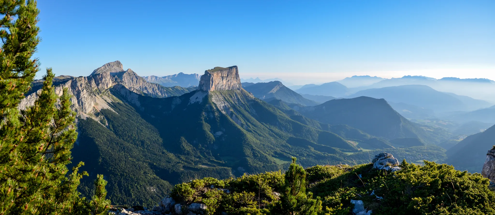
Grand Tour of the Vercors – first section
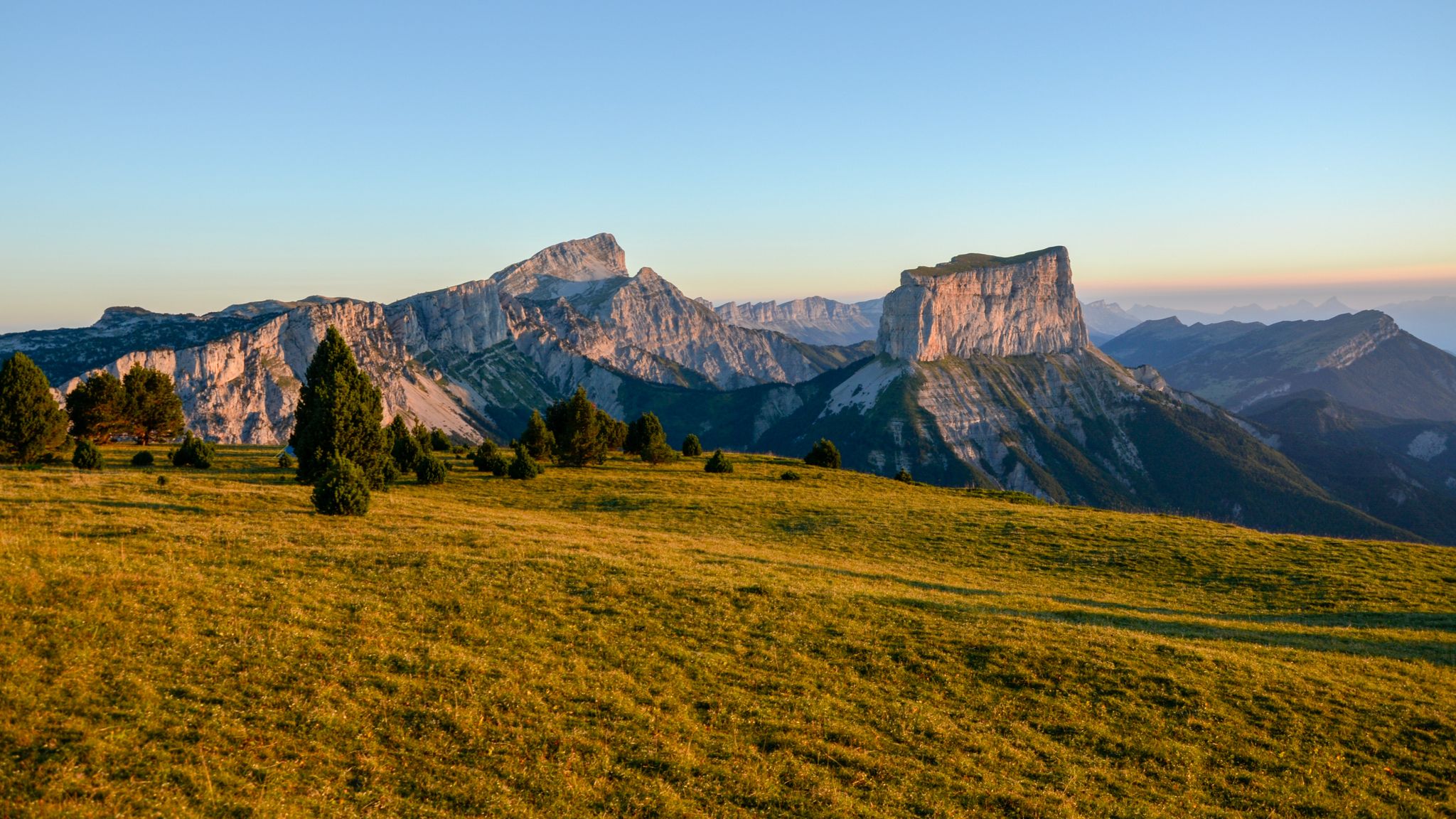
The cradle of mountaineering – Vercors Trièves' mountains

France — two weeks of hiking at its best!
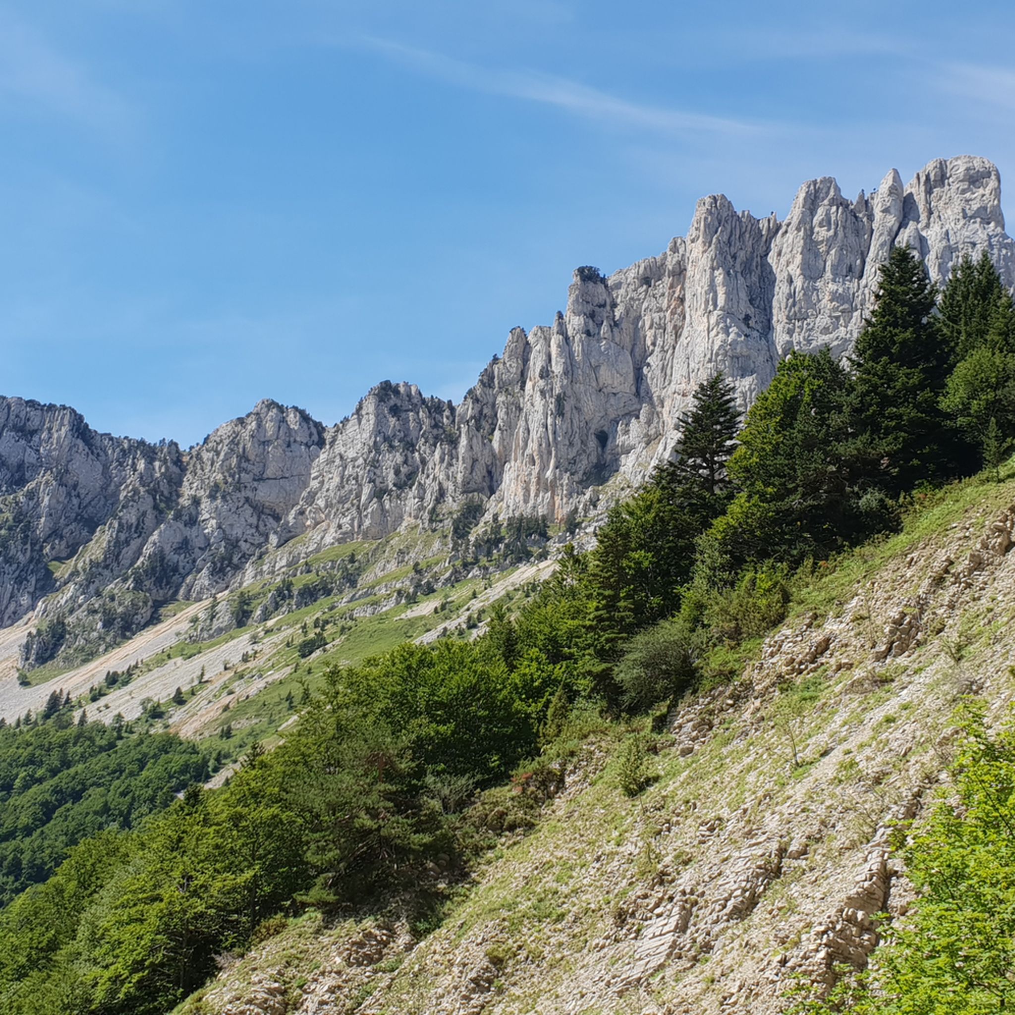
Hiking around Chichilianne
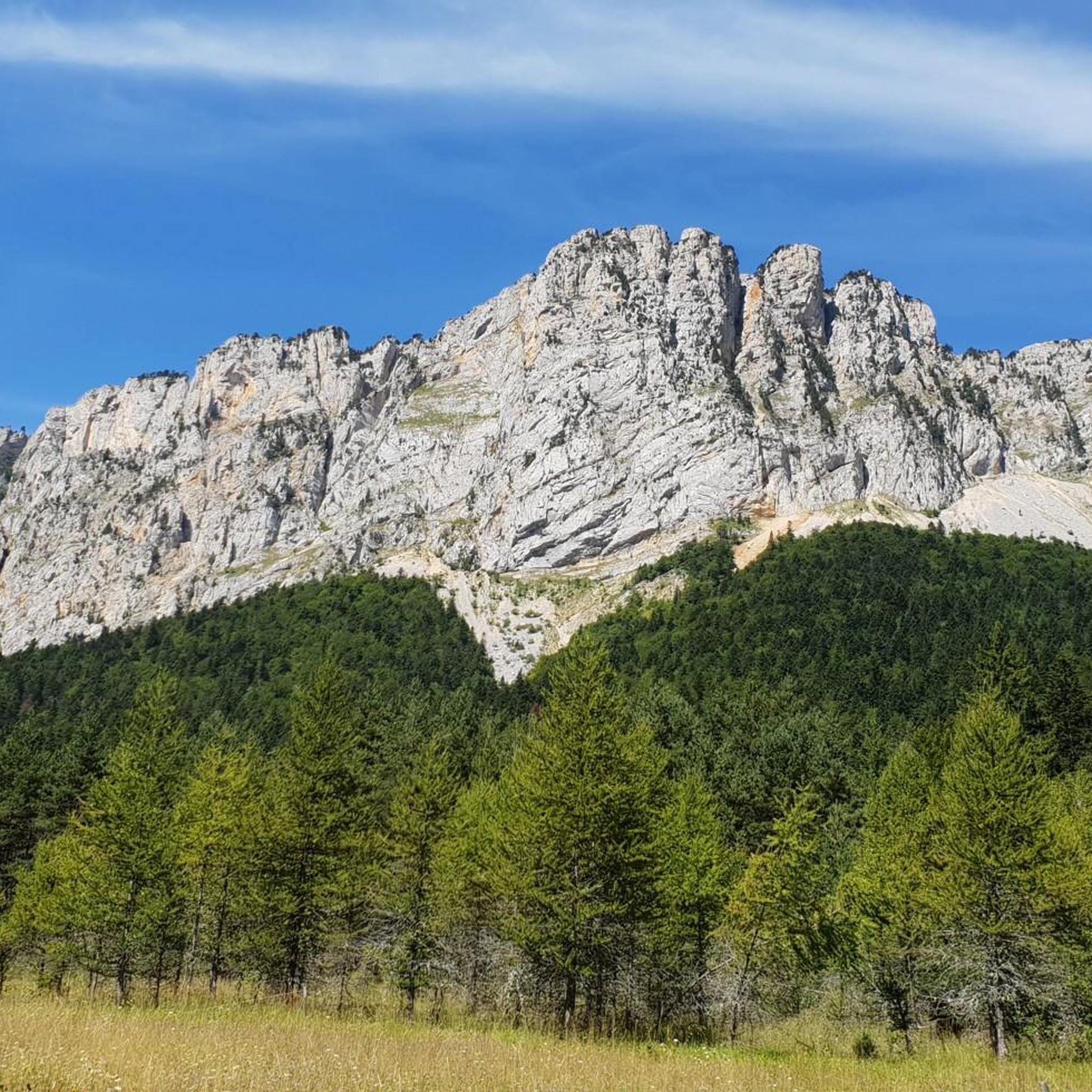
Road Cycling Routes around Chichilianne
MTB Trails around Chichilianne
Running Trails around Chichilianne
Cycling around Chichilianne

Gravel biking around Chichilianne

Mountain Hikes around Chichilianne


Tips from the Community

One of the symbolic climbs of the Vercors. The road climbs through forests and rocky walls up to the pass, offering spectacular views of the Drôme valley. A very evocative climb, popular with cyclists, ideal for immersing yourself completely in the wild landscape of the Vercors.
10
0
The climb starts quite gently from Chamaloc and becomes progressively more challenging as you enter the spectacular valley. The most scenic part is the final section, with hairpin bends set into the rock faces and the impressive crossing of the Col du Rousset tunnel.
11
0
For fat bikes only
10
0
🚴 Col du Rousset – Chamaloc side * Start: Chamaloc * Finish: Col du Rousset * Altitude: approx. 1,254 m * Length: approx. 11 km * Elevation gain: approx. 650 m * Average gradient: ~6% * Maximum gradients: around 9–10% * Surface: asphalted and generally in good condition
10
0
Splendid panoramic viewpoint immersed in nature, ideal for a short break during the route
10
0

In the afternoon heat on the south-facing slope, very little shade. The last 3km are steep. Warning, no water at La Bâtie (cemetery gate locked), refill well before!
0
0

From Saint-Michel-les-Portes, it's about 7 km at an average gradient of 8%. The last few kilometers often reach double digits. A cruel climb if it's the last one of your day...
0
0

Beautiful view and nice place with a table
0
0
Frequently Asked Questions
Which mountain passes around Chichilianne offer the best views?
For breathtaking panoramas, consider the Pas de la Ville Pass, which provides marvelous views of the Écrins mountains. The Col de Menée is renowned for stunning views of Mont Aiguille during the ascent. Additionally, the Col de l'Allimas offers beautiful views of the Grand Veymont and Mont Aiguille, and the Pas de l'Aiguille is celebrated for its splendid views of Mont Aiguille.
Are there mountain passes suitable for cycling near Chichilianne?
Yes, several passes are popular with cyclists. The Col de l'Allimas is appreciated for its challenging climbs. The Col du Rousset offers a nearly 20-kilometer climb from Die with impressive switchbacks. The Col des Deux is also favored by cyclists for its varied ascent routes. For more cycling routes, you can explore cycling routes around Chichilianne.
Which mountain passes have historical significance in the Chichilianne area?
The Pas de l'Aiguille holds significant historical importance as a site of resistance fighting during World War II. At its summit, you can find the Nécropole Nationale du Pas de l'Aiguille and a cave where Resistance fighters sought refuge.
What kind of wildlife can I expect to see on the mountain passes?
When exploring the Hauts-Plateaux du Vercors, particularly around the Pas de la Ville and Pas de l'Aiguille, you might encounter ibex, marmots, and vultures. These areas are part of the magnificent Vercors High Plateaux nature reserve, which protects diverse wildlife.
What is the best time of year to visit the mountain passes around Chichilianne?
The Col de Menée is typically accessible from May 1st to October 31st, subject to weather conditions. This period generally offers the most favorable weather for hiking and cycling across the passes in the region.
Are there any challenging hikes to mountain peaks from these passes?
Yes, the Pas de la Ville Pass is a common starting point for the challenging hike to Grand Veymont, the highest peak in the Vercors massif. This hike offers magnificent 360° views.
What are some unique natural features to look out for?
The Col de Menée features a tunnel that leads to a landscape reminiscent of Provence, with distinct vegetation. The route to the Col de la Machine via the Combe Laval circus is a 'breathtaking road' carved into the rock, offering spectacular panoramas and tunnels, though it's not recommended for those with vertigo.
Are there any less-trafficked mountain passes for a quieter experience?
The Col du Mont Noir, located within the Coulmes Forest, is generally less trafficked. While it doesn't offer expansive panoramic views itself, it provides five distinct and often challenging climbs, making it an iconic summit for regional cyclists seeking a quieter route.
What activities can I do near the mountain passes around Chichilianne?
Beyond exploring the passes themselves, you can find various outdoor activities. For running enthusiasts, there are several trails like the 'Aiguille Pass – Pas de l'Aiguille Memorial loop' or the 'Chichilianne – View of Mont Aiguille loop'. You can find more options in the running trails guide for Chichilianne.
What are the typical gradients and distances for cycling ascents on these passes?
Ascents vary; for example, the Ascent from Die to Col du Rousset is nearly 20 kilometers long with an average gradient of about 5%. The Col des Deux from Saint-Andéol spans 12.3 kilometers with an average gradient of 7% and maximums of 10.5%.
What is the Arc Pass known for?
The Arc Pass, culminating at 1,736 meters, is situated on a ridge that connects the Gresse valley and the Lans-en-Vercors plateau. It is known for its magnificent views of the Belledonne, Les Rousses, and the Écrins mountains in the background.
Most popular routes around Chichilianne
Most popular attractions around Chichilianne

Get inspired with the komoot mobile app


Explore more
See even more epic mountain passes by checking out these guides around Chichilianne:
