The best running trails around Chichilianne
4.5
(36)
1,046
runners
14
runs
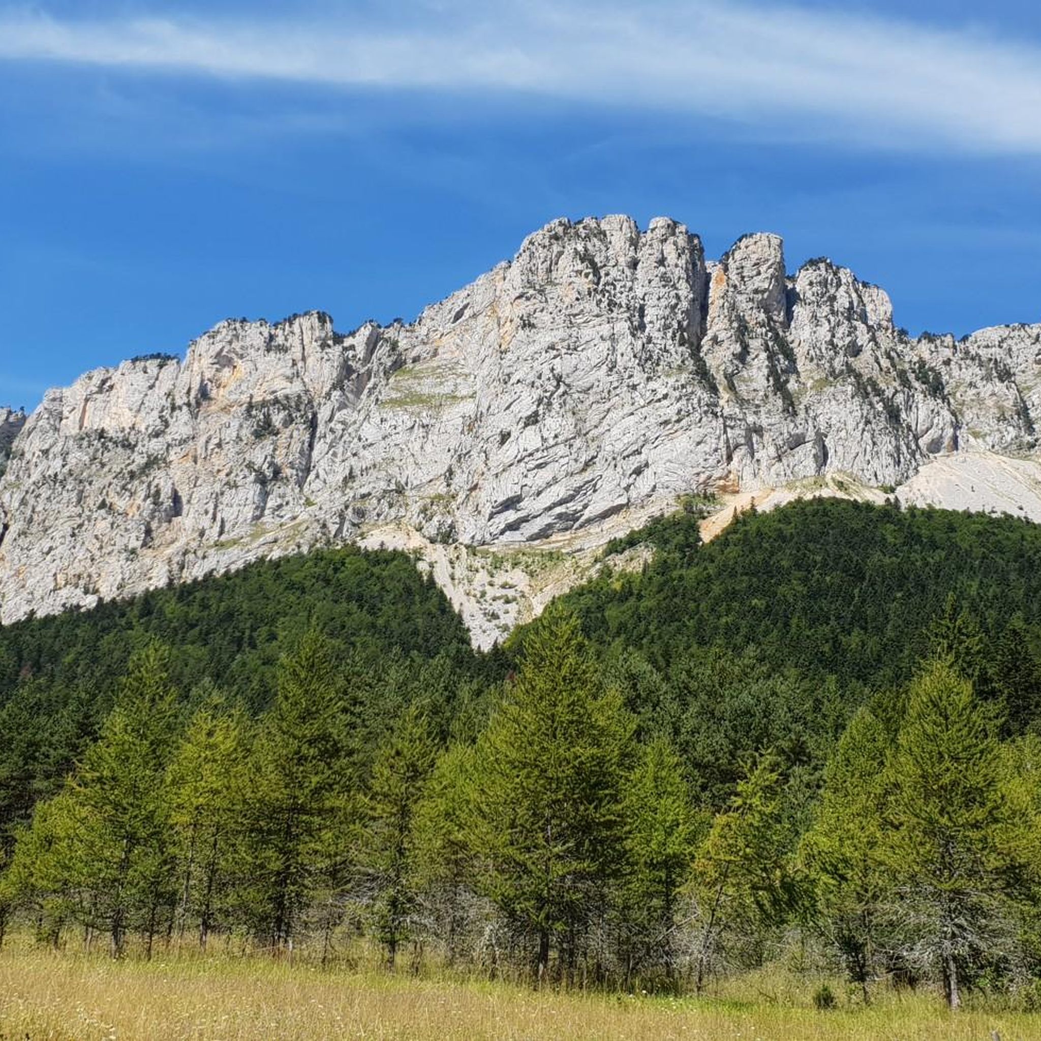
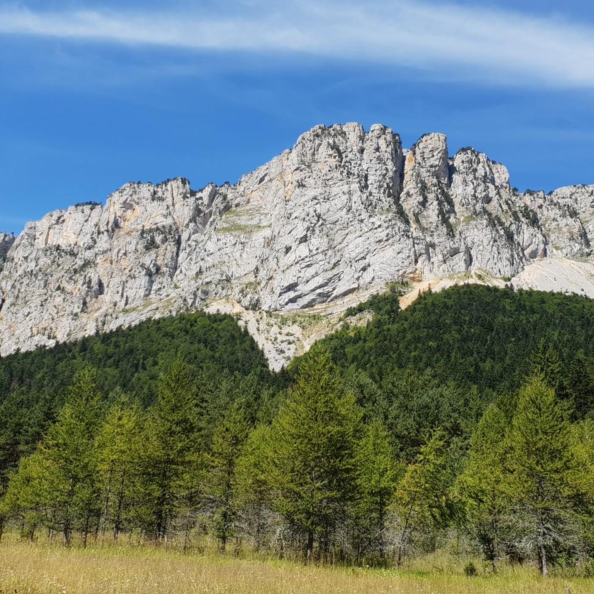
Jogging around Chichilianne offers access to diverse terrain within France's Isère department, set against the dramatic backdrop of Mont Aiguille. The region is characterized by monumental limestone cliffs, dense forests, and open mountain pastures, providing varied surfaces and gradients for running. It serves as a gateway to the Vercors High Plateaux Nature Reserve, known for its wild atmosphere and panoramic views over the Trièves region. This landscape, shaped by ancient sea beds, features a mix of deciduous and coniferous trees,…
Last updated: October 3, 2026
5.0
(1)
48
runners
7.53km
01:26
540m
540m
Hard run. Very good fitness required. Sure-footedness, sturdy shoes and alpine experience required.
4.0
(1)
18
runners
8.74km
01:37
600m
590m
Hard run. Very good fitness required. Sure-footedness, sturdy shoes and alpine experience required.

4.0
(1)
9
runners
10.2km
01:14
300m
300m
Moderate run. Good fitness required. Mostly paved surfaces. Suitable for all skill levels.
13
runners
12.9km
02:03
630m
630m
Hard run. Very good fitness required. Sure-footedness, sturdy shoes and alpine experience required.
7
runners
7.00km
00:45
120m
120m
Moderate run. Good fitness required. Mostly paved surfaces. Suitable for all skill levels.
Get access to more routes and recommendations from other explorers.
Already have an account?
Our route recommendations are based on thousands of hikes, rides, and runs completed by other people on komoot.
Start today with a free account
Your next adventure awaits.
Popular around Chichilianne
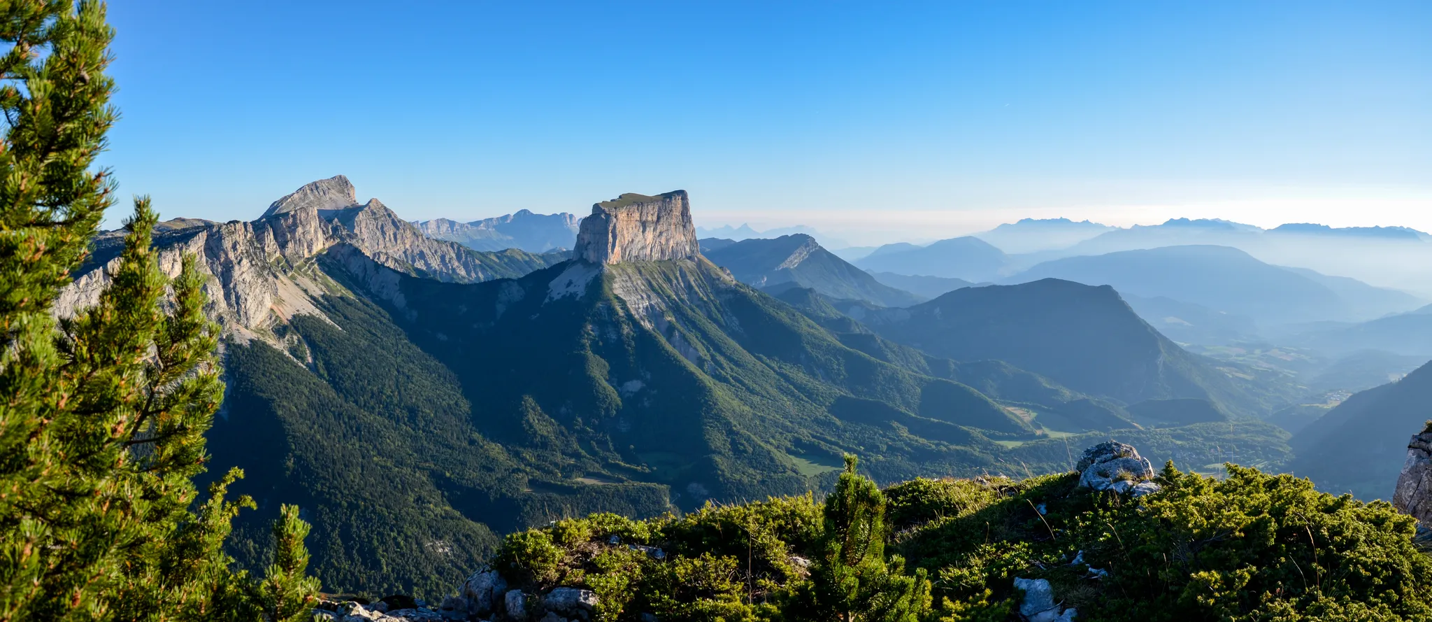
Grand Tour of the Vercors – first section
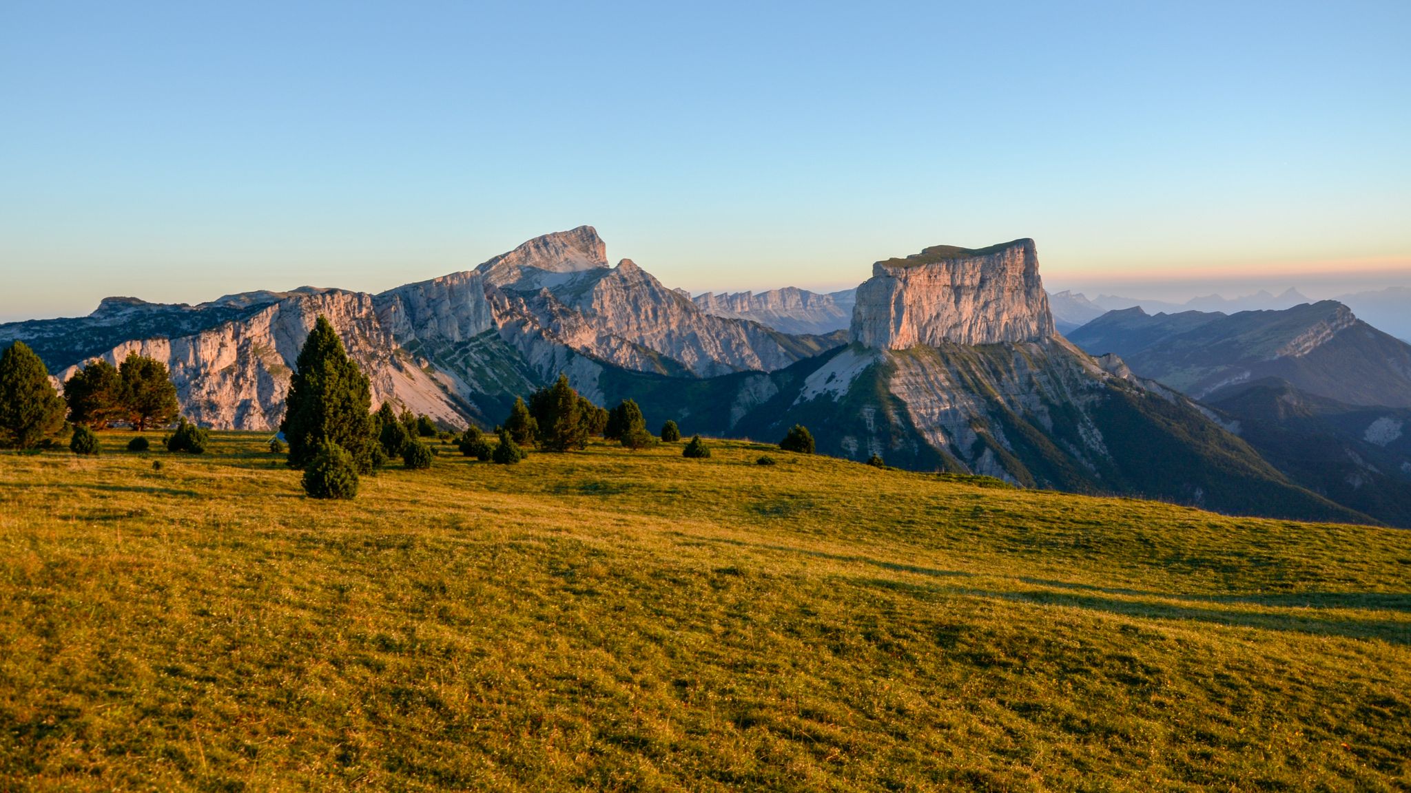
The cradle of mountaineering – Vercors Trièves' mountains

France — two weeks of hiking at its best!
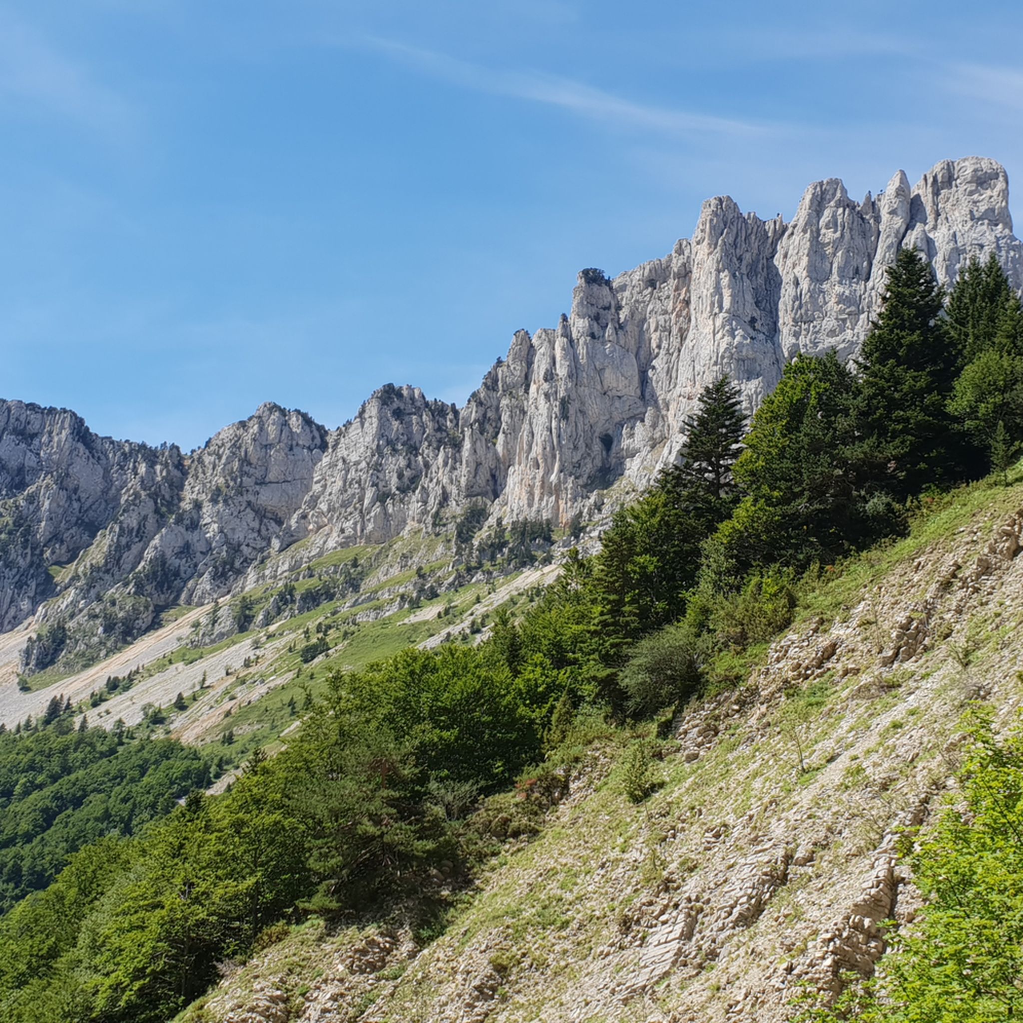
Hiking around Chichilianne
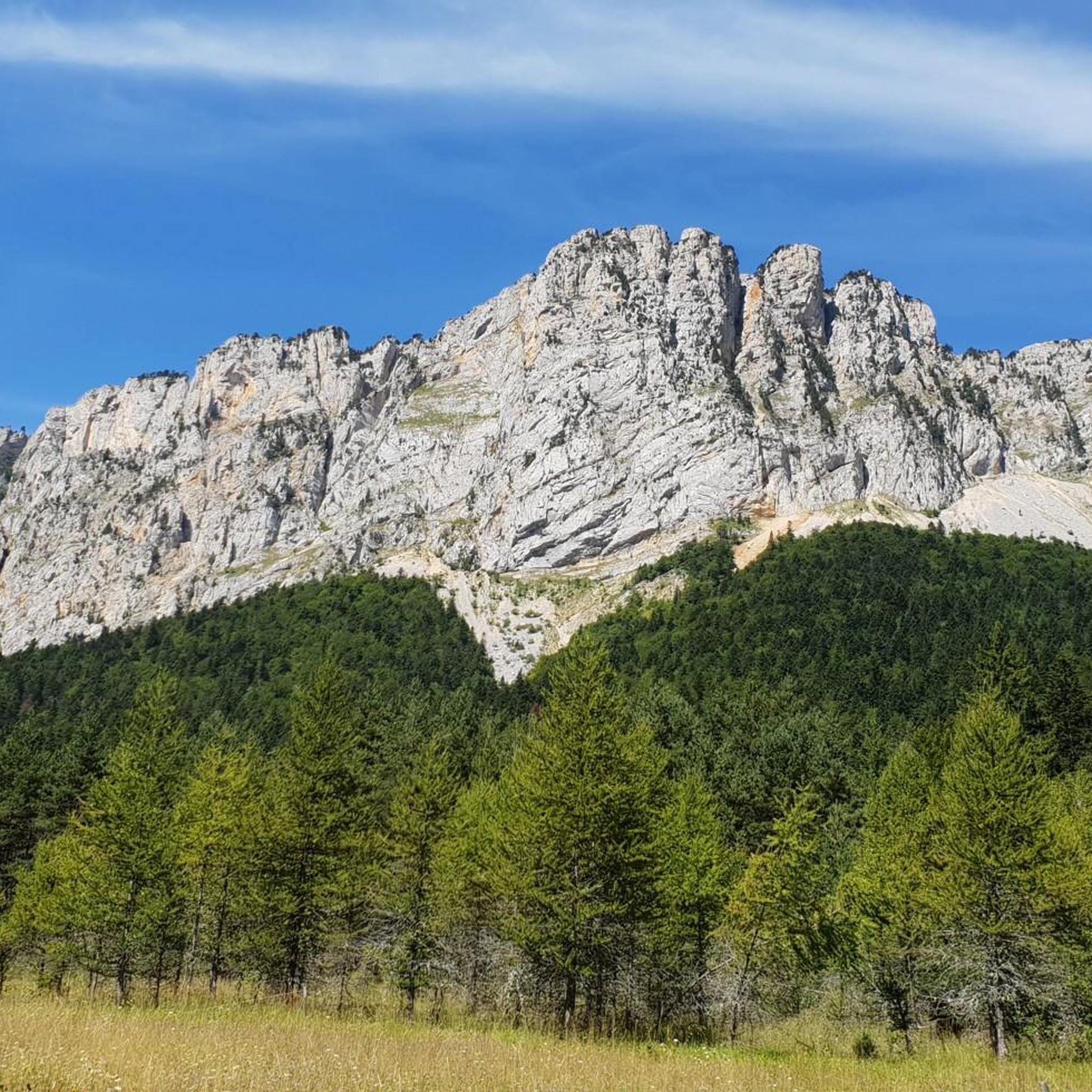
Road Cycling Routes around Chichilianne
MTB Trails around Chichilianne
Cycling around Chichilianne

Gravel biking around Chichilianne

Mountain Hikes around Chichilianne


Tips from the Community

It is an iconic mountain of the Vercors. It is the cradle of mountaineering. This mountain was climbed using wooden ladders.
0
0


Breathtaking view of the two very distinctive peaks.
1
0

Departure from hike at all from Mont Aiguille to be done on trail or on foot
0
0

Chichilianne has the advantage of being close to the large city of Grenoble and of offering a wide range of activities. Many sports are practiced: hiking, mountain biking and horse riding in summer, Nordic skiing and snowshoeing in winter. On the cultural side, the village has an art gallery, the Kyeper gallery, as well as a library called the Caverne des Livres. The village is as charming as its inhabitants are welcoming.
1
0
Not to be missed by the Needle! Without a doubt one of the most beautiful views of the Vercors Trièves region.
2
0
This national necropolis located in the Chaumailloux valley is the smallest in France. It was built in memory of 23 resistance fighters near the cave where they died.
0
0
The Col de l'Aupet, located at an altitude of 1,627 meters, is located exactly where a geological fault passes. This favored the erosion and separation of Mont Aiguille from the Vercors highlands. From this passage of the Aupet, you can reach the foot of the cliffs of Mont Aiguille as well as the upper Vercors via the Pas de la Selle.
3
0
Frequently Asked Questions
How many running routes are available around Chichilianne?
Chichilianne offers over 15 dedicated running routes, ranging from moderate to difficult, set against the stunning backdrop of Mont Aiguille and the Vercors High Plateaux Nature Reserve. These trails provide diverse terrain for all types of runners.
Are there any easy or beginner-friendly jogging routes in Chichilianne?
While many routes in Chichilianne are rated moderate to difficult, there are options that can be adapted for beginners or those seeking an easier run. For instance, the initial section of the 'Pas de l'Aiguille' hike offers wide gravel tracks for almost 2 kilometers, providing a gentler start. The region generally features varied terrain, so choosing routes with less elevation gain is key for an easier experience.
What kind of scenery can I expect on the running trails in Chichilianne?
Jogging in Chichilianne offers breathtaking scenery dominated by the spectacular Mont Aiguille. You'll encounter monumental limestone cliffs, dense forests of deciduous and coniferous trees, and open mountain pastures. Many trails provide magnificent panoramic views over the Trièves region and the foothills of the Vercors massif, especially from spots like the Pas de l'Aiguille.
Are there any circular running routes in the Chichilianne area?
Yes, several running routes in Chichilianne are circular, allowing you to start and end in the same location. For example, the Aiguille Pass – Pas de l'Aiguille Memorial loop from Richardière and the Aupet Pass loop from are popular circular options, offering challenging terrain and rewarding vistas.
Can I bring my dog on the jogging trails around Chichilianne?
The Vercors High Plateaux Nature Reserve, which Chichilianne borders, is generally dog-friendly, but regulations can vary. It's always best to keep dogs on a leash, especially in protected areas, to protect local wildlife such as ibex and chamois. Check specific trail rules or local signage before heading out with your canine companion.
Are the jogging routes in Chichilianne suitable for families with children?
Some trails around Chichilianne are suitable for families, particularly those looking for easier, shorter options. The 'Chichilianne Tower' hike, a 3.8km loop with moderate elevation, is described as family-friendly. When jogging with children, consider routes with less elevation gain and varied surfaces to keep them engaged.
What are some notable landmarks or attractions I might see while running near Chichilianne?
While running near Chichilianne, you'll frequently encounter stunning views of Mont Aiguille. Other notable features in the broader region include the dramatic Gorges des Gâts, the Ebron Footbridge, and various mountain passes like Col de Rousset, which offer additional scenic points of interest.
What is the best time of year to go jogging in Chichilianne?
The spring, summer, and autumn months generally offer the best conditions for jogging in Chichilianne, with pleasant temperatures and vibrant natural landscapes. Spring brings blooming wildflowers, while autumn showcases beautiful fall foliage. Summer is ideal for higher altitude runs, though it can be warmer. Always check local weather forecasts before your run.
Are there options for winter trail running in Chichilianne?
Yes, even in winter, Chichilianne offers possibilities for trail running, depending on snow conditions. The Nordic site at Chichilianne features 40 kilometers of cross-country skiing pistes and 28 kilometers of snow-shoe itineraries, which can sometimes be adapted for winter trail running when snow is not too deep or packed. Always ensure you have appropriate gear and check conditions before heading out.
Where can I find parking for the running routes in Chichilianne?
Parking is typically available near the starting points of many popular routes in Chichilianne. For example, routes like the Aiguille Pass – Pas de l'Aiguille Memorial loop often start from villages or designated trailheads where parking facilities are provided. It's advisable to check specific route details for parking information.
Is public transport available to access the jogging trails in Chichilianne?
While Chichilianne is a smaller village, some regional bus services may connect it to larger towns. However, direct public transport access to specific trailheads can be limited. For most flexibility, especially to reach more remote starting points, traveling by car is often recommended.
What do other runners enjoy most about the trails in Chichilianne?
The running trails in Chichilianne are highly rated by the komoot community, with an average score of 4.6 stars from over 30 reviews. Runners frequently praise the iconic mountain scenery, particularly the views of Mont Aiguille, the varied terrain that offers both challenging climbs and scenic forest paths, and the overall wild atmosphere of the Vercors High Plateaux Nature Reserve.
Are there any running routes that pass by cafes or places to eat in Chichilianne?
Many routes start or pass through the village of Chichilianne itself, where you can find local amenities like cafes or small eateries. For example, the View of Mont Aiguille – Chichilianne loop from Chichilianne begins and ends in the village, making it convenient for a post-run refreshment.
Most popular routes around Chichilianne
Most popular attractions around Chichilianne

Get inspired with the komoot mobile app


Explore more
Browse the best Running Trails & Routes in other regions.
