The best running trails around La Malhoure
4.5
(40)
1,716
runners
221
runs
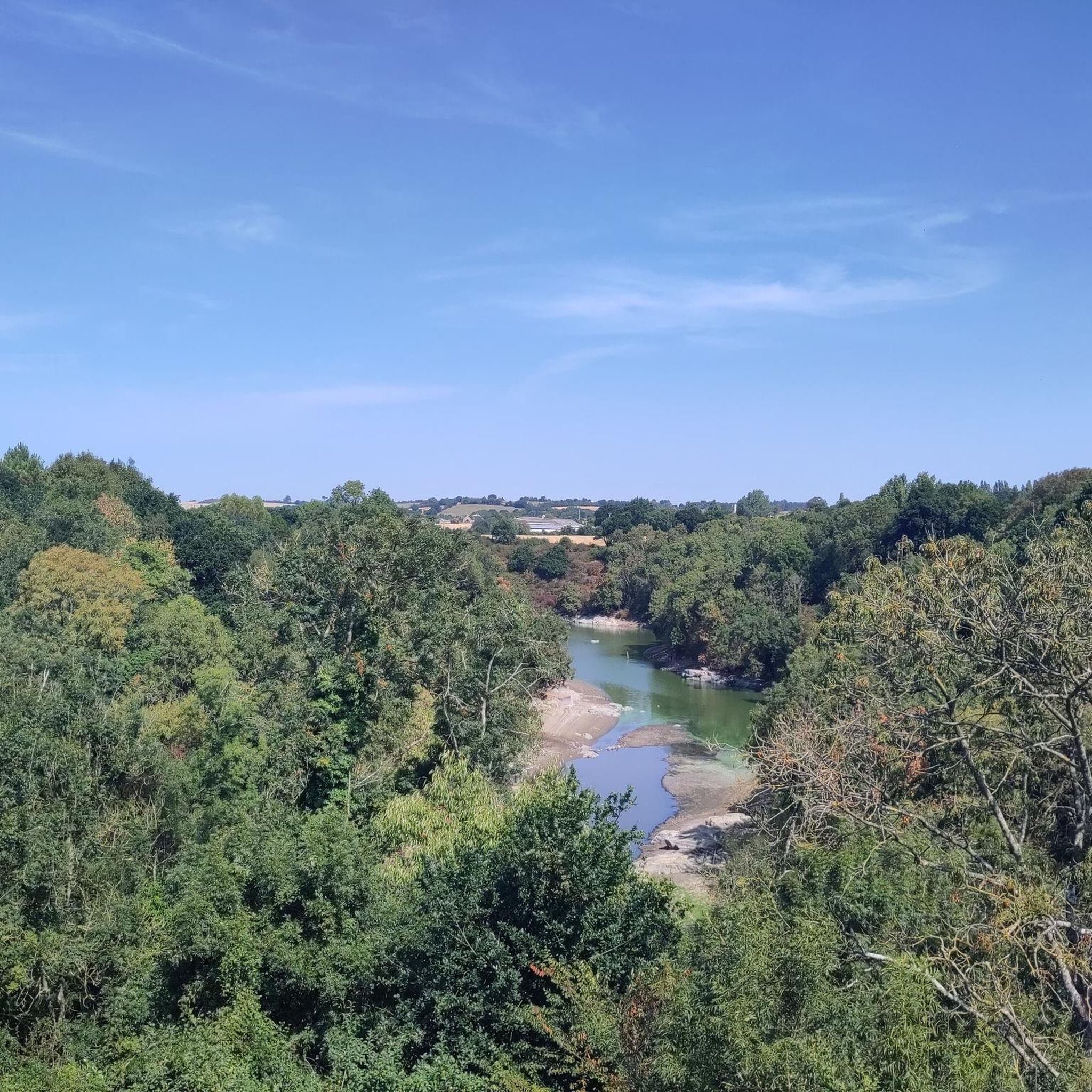
Jogging routes around La Malhoure traverse a varied landscape characterized by hills, valleys, arable land, meadows, and moors. This region in Brittany, France, offers diverse terrain suitable for different running preferences. The area benefits from its proximity to coastal paths, riverine landscapes, and wooded areas, providing a blend of natural beauty for runners. These features contribute to a dynamic environment for outdoor activities, including running.
Best jogging routes around La Malhoure
- The most popular jogging route is Running loop from…
Last updated: May 24, 2026
4
runners
6.44km
00:40
30m
30m
Moderate run. Good fitness required. Mostly paved surfaces. Suitable for all skill levels.
3
runners
19.8km
02:12
150m
150m
Hard run. Very good fitness required. Mostly paved surfaces. Suitable for all skill levels.
2
runners
19.1km
01:59
110m
110m
Hard run. Very good fitness required. Mostly paved surfaces. Suitable for all skill levels.
Get access to more routes and recommendations from other explorers.
Sign up for free
Already have an account?
Our route recommendations are based on thousands of hikes, rides, and runs completed by other people on komoot.
Start today with a free account
Your next adventure awaits.
Login or Signup

Tips from the Community

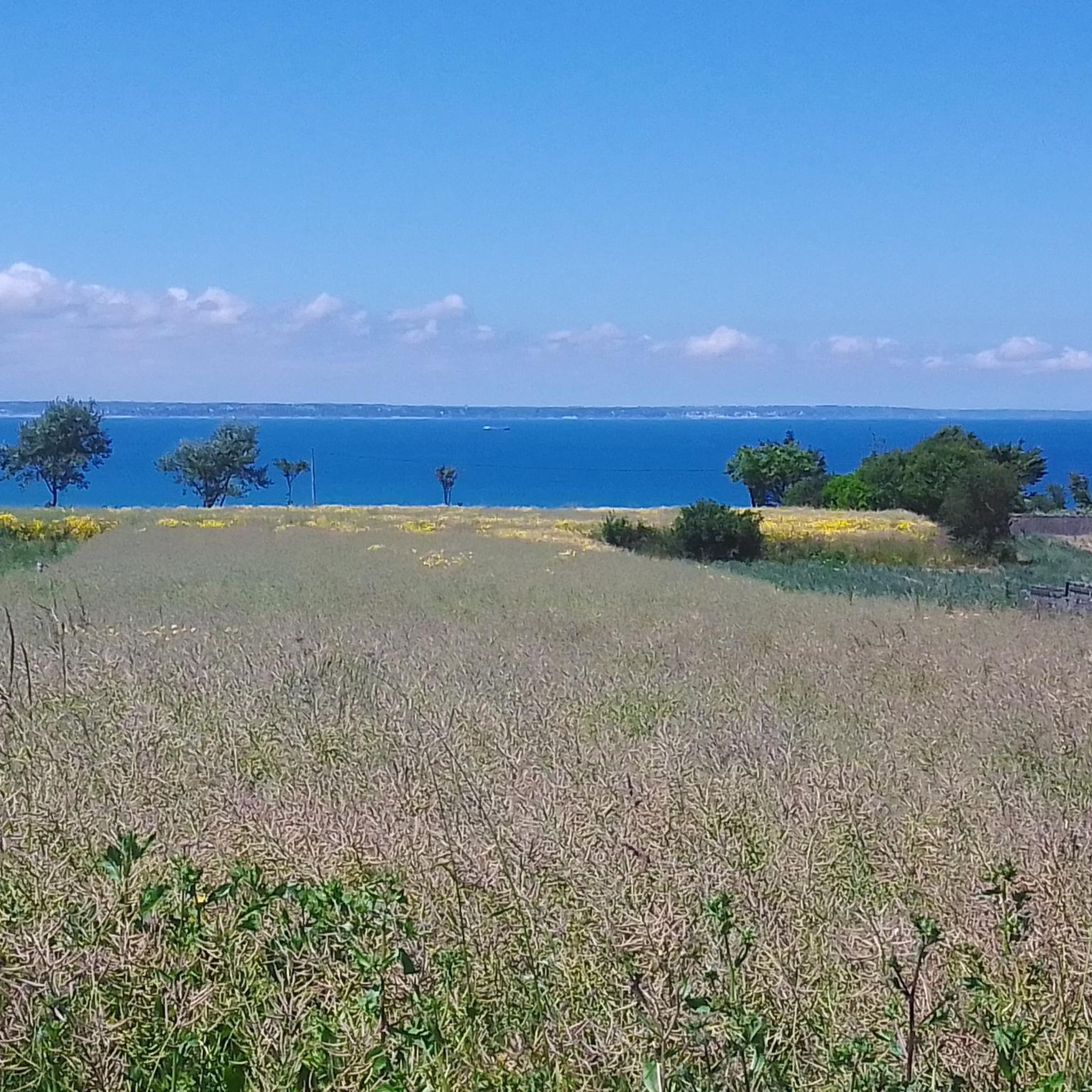
Trébry is a small village nestled in a rolling, green landscape. It is best known for Mount Bel-Air, the highest point in the department, and its 360-degree panorama.
0
0
Frequently Asked Questions
How many jogging routes are available around La Malhoure?
There are over 200 running routes in and around La Malhoure, offering a wide variety of options for different preferences and fitness levels. The komoot community has explored 214 routes in total.
What kind of terrain can I expect on the running trails near La Malhoure?
The running trails around La Malhoure feature a varied landscape, including hills, valleys, arable land, meadows, and moors. You'll find a blend of natural surfaces and potentially some paved paths, with options ranging from gentle inclines to more significant elevation changes, especially on longer routes.
Are there running routes suitable for beginners or those looking for an easy jog?
Yes, La Malhoure offers several easy jogging routes. There are 19 routes specifically categorized as easy, providing a gentle introduction to the area's beautiful landscapes without demanding significant effort.
What are the options for more challenging or long-distance trail running?
For those seeking a challenge, La Malhoure has 29 difficult running routes. A notable option is the Étang du Moulin Rault loop from La Malhoure, a difficult 12.3 miles (19.8 km) path with significant elevation changes. The region's proximity to larger natural areas like Lac de Guerlédan and Forêt de Paimpont also suggests potential for extensive long-distance trail running excursions, though these are further afield.
Are there circular running routes in La Malhoure?
Yes, many of the running routes in La Malhoure are circular, allowing you to start and finish at the same point. Examples include the popular Running loop from La Malhoure and the more challenging Trébry loop from La Malhoure.
What natural features or landmarks can I see while running near La Malhoure?
The region is rich in natural beauty. You can expect to run through picturesque river valleys, notably the Gouessant and Rance. Some routes may pass by the Le Gouessant river itself. Other nearby points of interest include Mount Bel-Air, and historical sites like the Collégiale Notre-Dame de Lamballe.
Is parking available near the jogging trails in La Malhoure?
While specific parking details vary by route, La Malhoure and its surrounding villages generally offer public parking options. It's advisable to check the starting point of your chosen route on komoot for more precise parking information.
Can I bring my dog on the jogging routes in La Malhoure?
Many outdoor trails in Brittany are dog-friendly, especially those in natural, rural settings. However, it's always best to keep your dog on a leash, particularly in areas with livestock or near roads, and to check for any specific local regulations or signage on individual routes.
What do other runners say about the trails in La Malhoure?
The running routes in La Malhoure are highly rated by the komoot community, with an average score of 4.5 stars from over 39 reviews. Runners often praise the varied terrain and the blend of natural beauty, offering a dynamic environment for outdoor activities.
What is the best season for jogging in La Malhoure?
La Malhoure offers pleasant jogging conditions throughout much of the year. Spring and autumn provide mild temperatures and beautiful scenery. Summer can be warm, so early morning or late afternoon runs are often preferred. Winter runs are also possible, though some paths might be muddy after rain.
Are there family-friendly running routes in La Malhoure?
Yes, many of the easier and moderate routes are suitable for families. The varied terrain and green spaces provide a pleasant environment for all ages. Look for routes with lower elevation gain and shorter distances for a more comfortable family outing.
Most popular routes around La Malhoure
Most popular attractions around La Malhoure

Get inspired with the komoot mobile app


Explore more
Browse the best Running Trails & Routes in other regions.
