The best walks and hikes around La Malhoure
4.6
(58)
336
hikers
57
hikes
Hiking around La Malhoure offers a variety of routes through the rural landscape of Brittany, France. The region is characterized by gentle hills, river valleys, and a mix of agricultural land and woodlands. Trails often connect historical sites and local villages, providing a blend of natural scenery and cultural interest. The terrain is generally accessible, with routes ranging from flat riverside paths to moderate climbs.
Best hiking trails around La Malhoure
- The most popular hiking route is Lamballe: between nature…
Last updated: May 23, 2026
4.8
(5)
13
hikers
13.0km
03:26
120m
120m
Moderate hike. Good fitness required. Easily-accessible paths. Suitable for all skill levels.
5.0
(4)
14
hikers
14.9km
04:05
250m
250m
Moderate hike. Good fitness required. Easily-accessible paths. Suitable for all skill levels.

Sign up for free
5.0
(1)
44
hikers
3.14km
00:48
10m
10m
Easy hike. Great for any fitness level. Easily-accessible paths. Suitable for all skill levels.
3.0
(2)
19
hikers
6.07km
01:33
20m
20m
Easy hike. Great for any fitness level. Easily-accessible paths. Suitable for all skill levels.
5.0
(1)
11
hikers
3.90km
01:01
30m
30m
Easy hike. Great for any fitness level. Easily-accessible paths. Suitable for all skill levels.
Get access to more routes and recommendations from other explorers.
Sign up for free
Already have an account?
Our route recommendations are based on thousands of hikes, rides, and runs completed by other people on komoot.
Start today with a free account
Your next adventure awaits.
Login or Signup


Tips from the Community

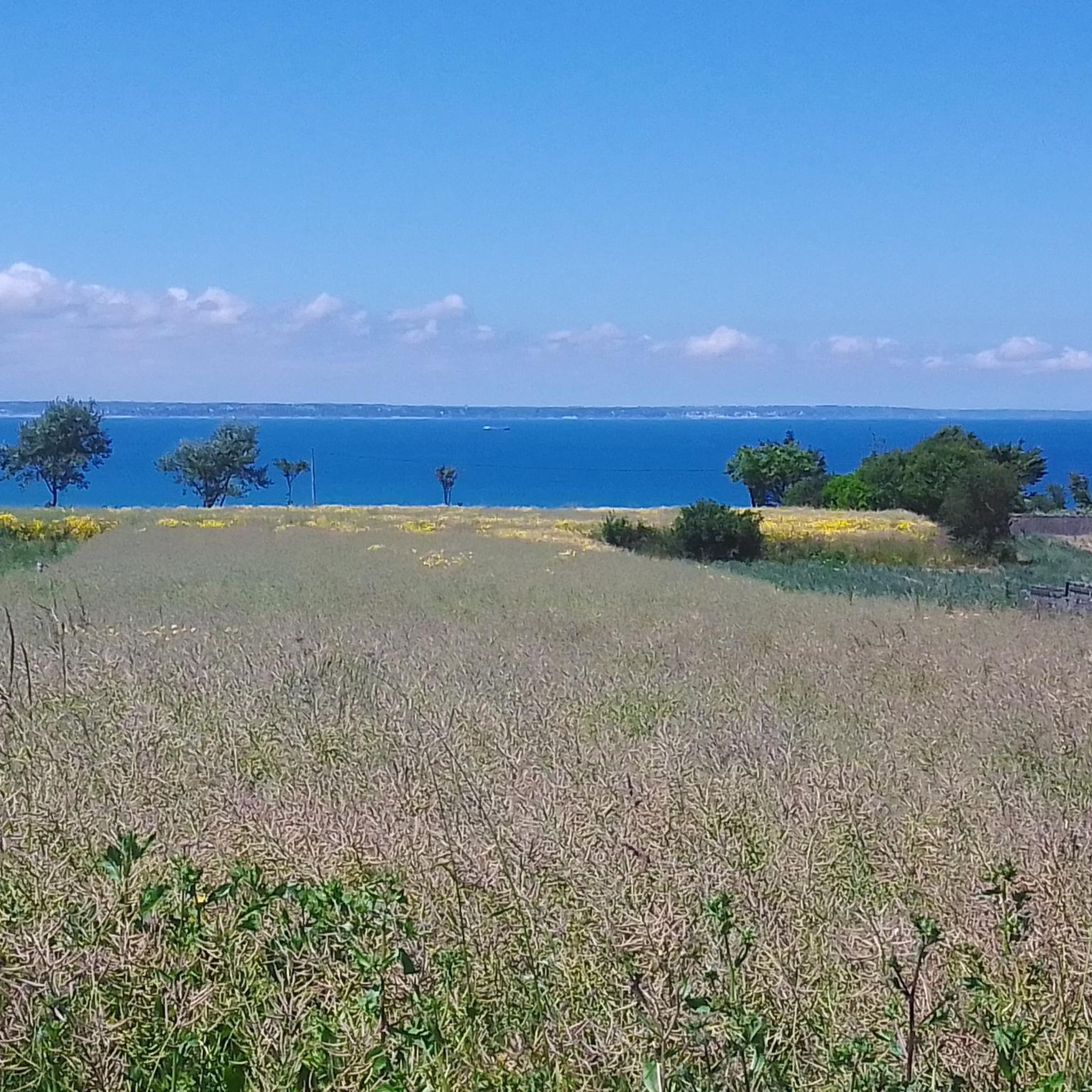
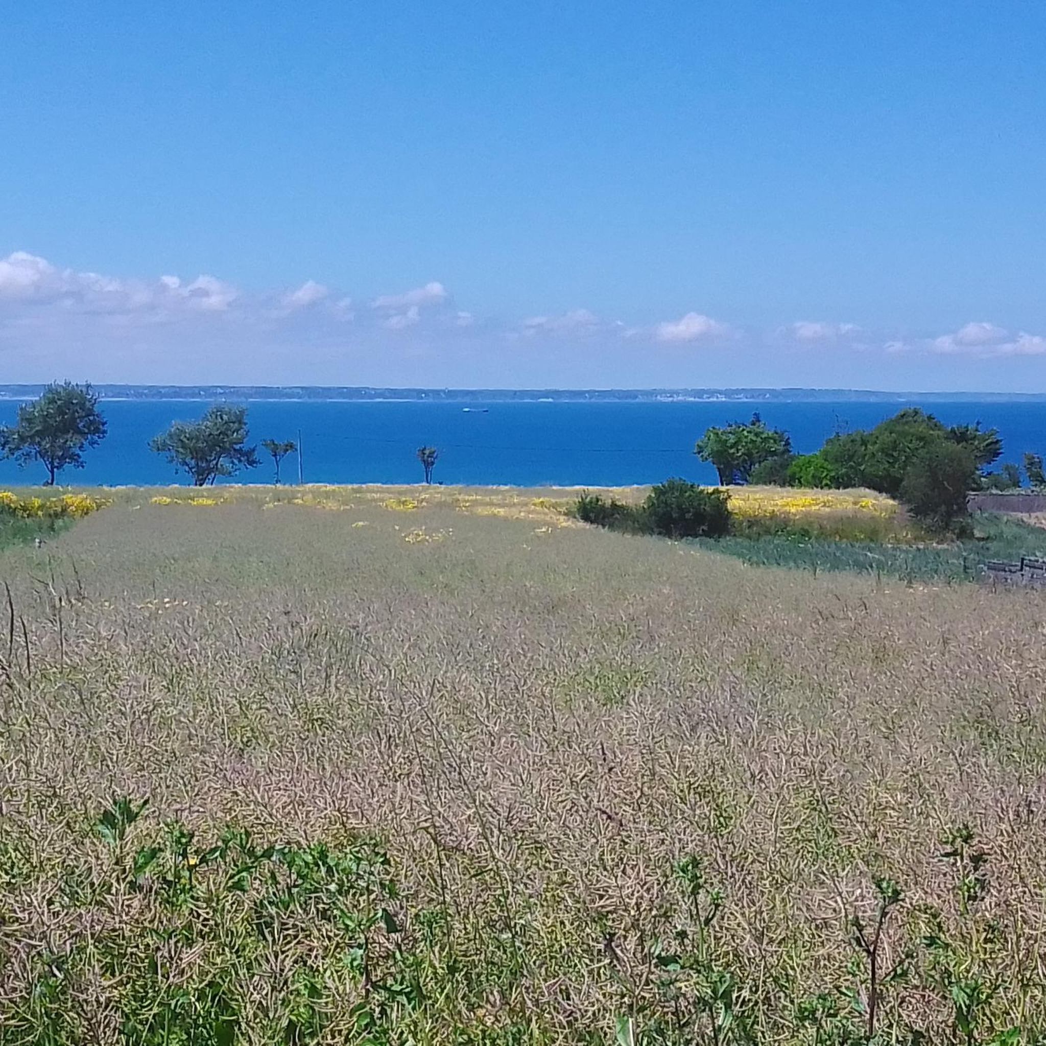
Trébry is a small village nestled in a rolling, green landscape. It is best known for Mount Bel-Air, the highest point in the department, and its 360-degree panorama.
0
0
Perched atop Mount Bel-Air, the highest point in the Côtes-d'Armor region, the Notre-Dame du Mont-Carmel chapel watches over the valley. Its octagonal architecture and radiating aisles make it a unique place. The view from the summit alone is worth the climb.
2
0
Located in the heart of Lamballe, the Notre-Dame collegiate church is a fine example of Breton Gothic architecture. Built from the 13th century onward, it houses precious contemporary stained-glass windows and a 17th-century organ. Don't hesitate to step inside: the interior is truly worth a visit.
0
0
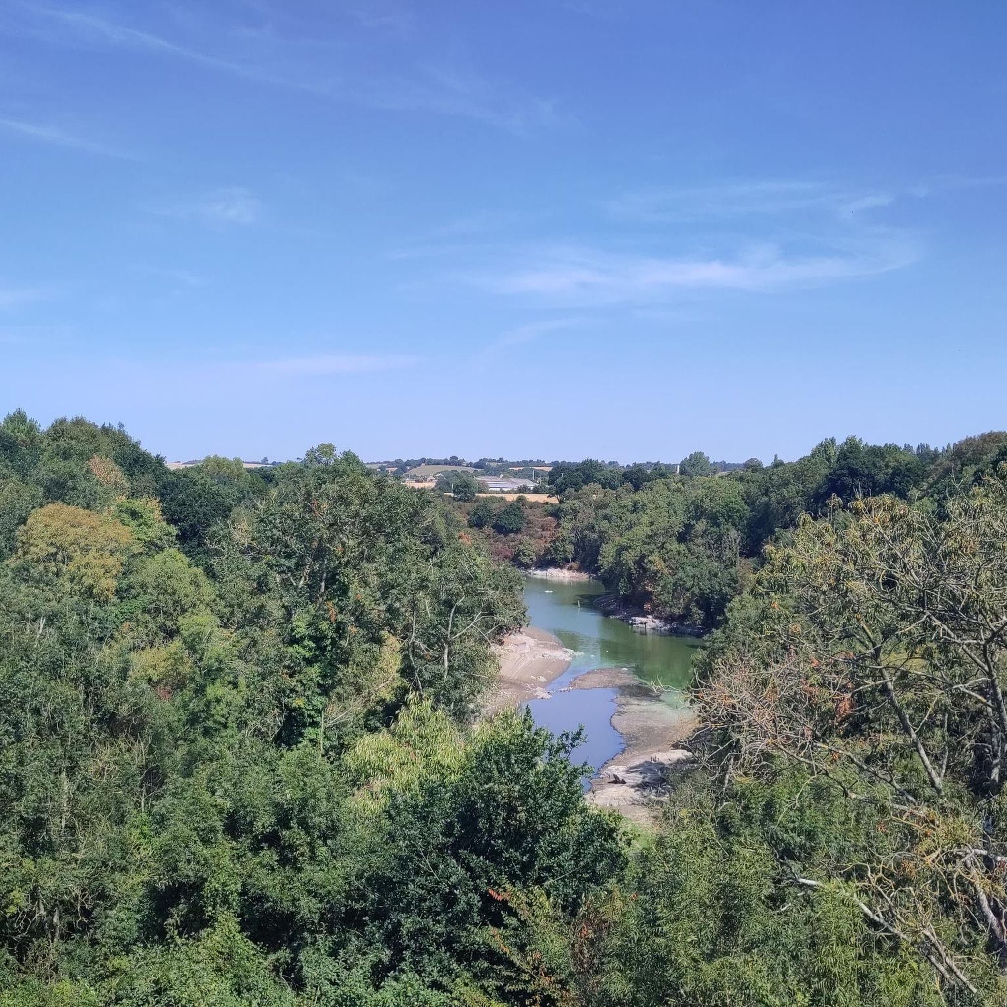
The Gouessant River forms a body of water here, right in the heart of Lamballe. Fed by the river of the same name, it reflects the surrounding trees. It's a lovely spot for a quiet break or a stroll just a stone's throw from the center.
0
0
Place du Martray is surrounded by perfectly preserved half-timbered houses. Here you'll find the Maison du Bourreau, recognizable by its red beams. It's a pleasant place to take a break or begin a tour of the historic center via Rue du Four.
0
0

National Breton Trait Competition, a must-see.
0
0

Frequently Asked Questions
How many hiking trails are available around La Malhoure?
There are over 50 hiking routes in the La Malhoure area, offering a diverse range of experiences through Brittany's rural landscape. These include paths along river valleys, through agricultural land, and into woodlands.
Are there easy hiking trails suitable for beginners in La Malhoure?
Yes, La Malhoure offers many easy trails perfect for beginners or those seeking a relaxed walk. Nearly 30 routes are classified as easy, often featuring gentle terrain along river paths. An example is the National Stud – Le Gouessant loop from Lamballe, which is 3.2 miles long and relatively flat.
What kind of terrain can I expect on hikes around La Malhoure?
The terrain around La Malhoure is generally accessible, characterized by gentle hills, picturesque river valleys, and a mix of agricultural fields and woodlands. Trails often connect historical sites and local villages, providing a blend of natural scenery and cultural interest.
Are there any moderate or challenging hikes in the region?
While there are no difficult routes, La Malhoure features 24 moderate hiking trails. These often include more significant ascents or longer distances. For example, the Trébry, on the highest point of Côtes d'Armor route offers expansive views after a moderate climb.
What are some interesting landmarks or attractions to see while hiking near La Malhoure?
Many trails in the area pass by notable landmarks. You can explore the historic National Stud, visit the impressive Collégiale Notre-Dame de Lamballe, or discover the serene Chapelle Notre-Dame du Mont-Carmel. The Le Gouessant river itself is a prominent natural feature.
Are there family-friendly hiking options around La Malhoure?
Yes, many of the easier routes are suitable for families. The gentle paths along the Gouessant river, such as the Le Gouessant loop from Lamballe, are ideal for walks with children, offering pleasant scenery without strenuous climbs.
Can I bring my dog on the hiking trails in La Malhoure?
Most hiking trails in rural Brittany, including those around La Malhoure, are generally dog-friendly. However, it's always advisable to keep dogs on a leash, especially when passing through agricultural areas or near livestock, and to respect local signage regarding pet access.
Are there circular walks available in La Malhoure?
Yes, many of the routes around La Malhoure are designed as circular walks, allowing you to start and end at the same point. The Gouessant River Trail – Le Gouessant loop from Lamballe is a good example of a moderate circular route.
What is the best time of year to go hiking in La Malhoure?
The spring and autumn months are generally ideal for hiking in La Malhoure, offering pleasant temperatures and vibrant natural scenery. Summer can also be enjoyable, though it's best to start earlier in the day to avoid the midday heat. Winter hikes are possible, but trails might be muddier, and daylight hours are shorter.
What do other hikers say about the trails in La Malhoure?
The hiking trails in La Malhoure are highly regarded by the komoot community, with an average rating of 4.7 stars from over 50 reviews. Hikers often praise the peaceful rural atmosphere, the well-maintained paths, and the blend of natural beauty with historical points of interest.
Is public transport available to access hiking trails near La Malhoure?
Public transport options directly to trailheads in rural areas like La Malhoure can be limited. It's often more convenient to reach the starting points by car. However, some routes may be accessible from larger towns like Lamballe, which has train connections, followed by a local bus or taxi.
Where can I park when hiking in La Malhoure?
Parking is typically available in or near the villages that serve as starting points for many trails, such as Lamballe. Look for designated parking areas in town centers or near popular attractions like the National Stud. Always ensure you park responsibly and do not obstruct local access.
Most popular routes around La Malhoure
Most popular attractions around La Malhoure

Get inspired with the komoot mobile app


Explore more
Browse the best Hikes in other regions.
