The best road cycling routes around La Malhoure
4.4
(72)
2,039
riders
291
rides
Road cycling around La Malhoure offers access to diverse landscapes within the Côtes-d'Armor department of Brittany. The region features varied elevation, from flatter sections along river valleys to more challenging ascents. Cyclists can explore coastal areas like the Bay of Saint-Brieuc and Cap Fréhel, as well as tranquil inland greenery and forests such as the Forêt de la Hunaudaye. This area provides a network of quiet roads and greenways suitable for road cycling.
Best road cycling routes around La Malhoure
…Last updated: May 24, 2026
27
riders
93.4km
04:52
1,080m
1,080m
Hard road ride. Very good fitness required. Some segments of this route may be unpaved and difficult to ride.
20
riders
104km
05:17
1,300m
1,300m
Hard road ride. Very good fitness required. Mostly well-paved surfaces and easy to ride.

Sign up for free
13
riders
65.9km
02:55
510m
510m
Moderate road ride. Good fitness required. Mostly well-paved surfaces and easy to ride.
13
riders
102km
04:58
1,190m
1,190m
Hard road ride. Very good fitness required. Mostly well-paved surfaces and easy to ride.
11
riders
47.4km
02:08
490m
490m
Moderate road ride. Good fitness required. Mostly well-paved surfaces and easy to ride.
Get access to more routes and recommendations from other explorers.
Sign up for free
Already have an account?
Our route recommendations are based on thousands of hikes, rides, and runs completed by other people on komoot.
Start today with a free account
Your next adventure awaits.
Login or Signup


Tips from the Community

Water tower with a large ermine painted in black on a white background, reminiscent of the Breton flag, the "Gwenn Ha Du"
0
0

Done on a gravel bike, but the route is more suitable for mountain biking.
0
0
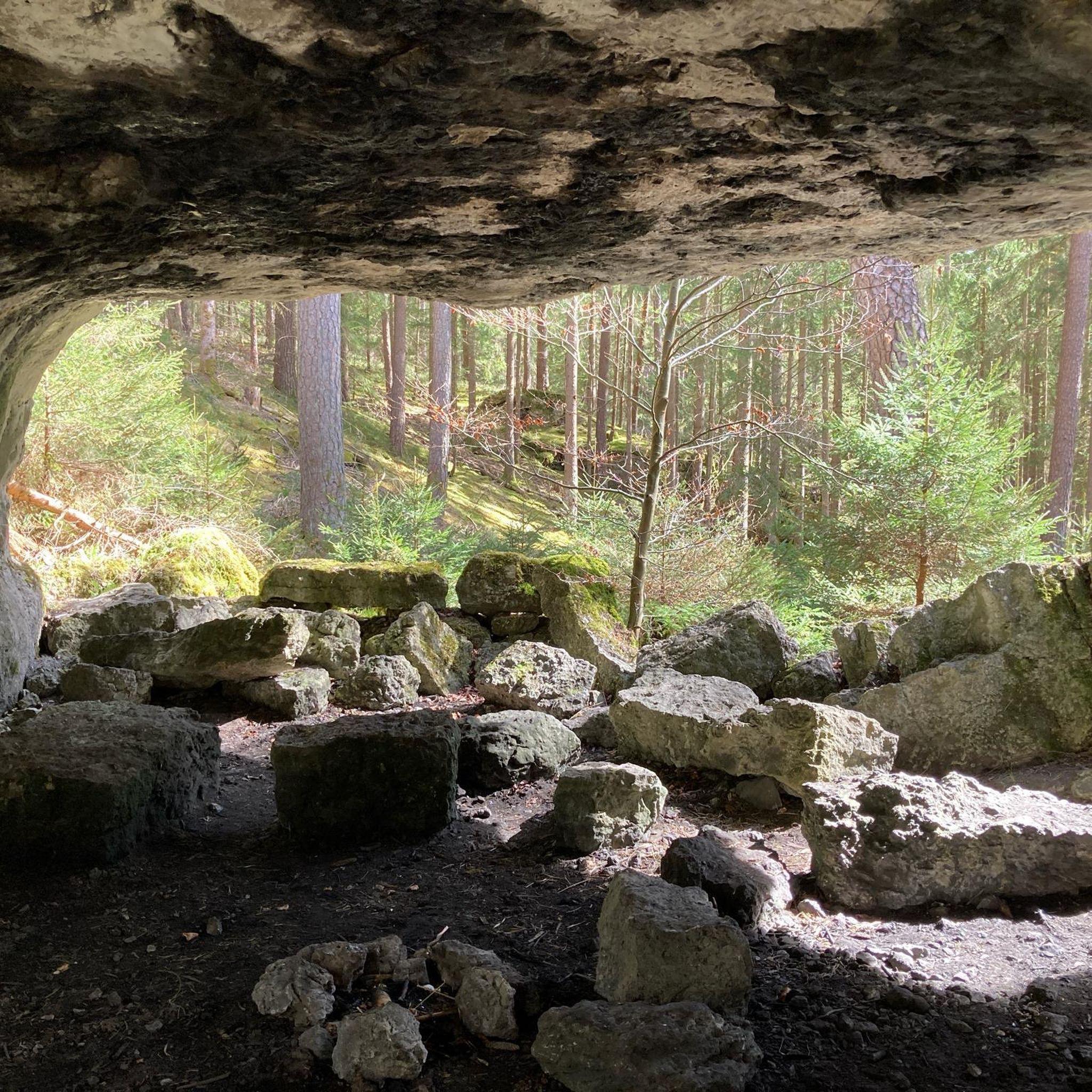
A good place to take a break
0
0

Trébry is a small village nestled in a rolling, green landscape. It is best known for Mount Bel-Air, the highest point in the department, and its 360-degree panorama.
0
0
Perched atop Mount Bel-Air, the highest point in the Côtes-d'Armor region, the Notre-Dame du Mont-Carmel chapel watches over the valley. Its octagonal architecture and radiating aisles make it a unique place. The view from the summit alone is worth the climb.
2
0
To find your way around the 360° view
0
0
Beautiful, well presented church
0
0

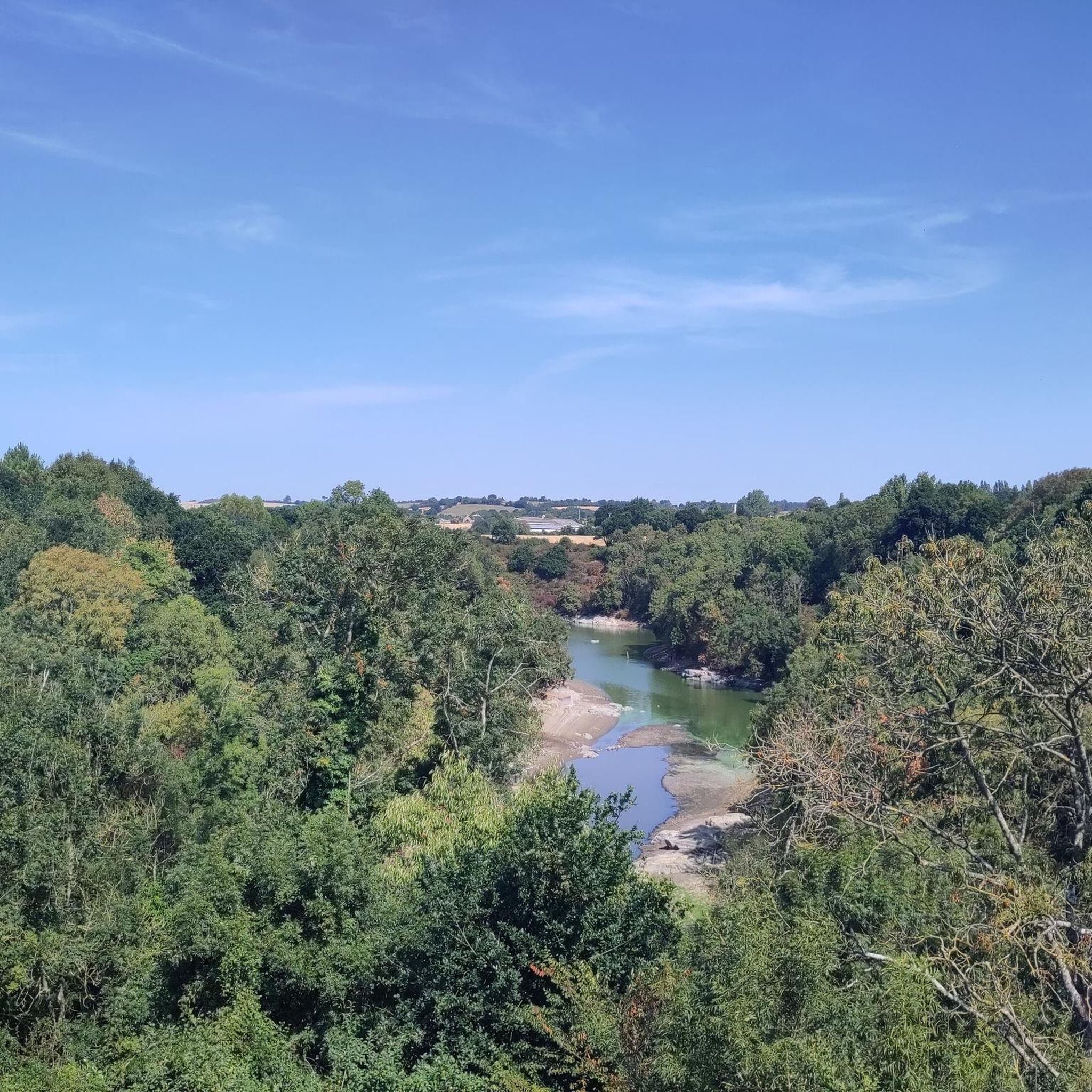
A very beautiful view of the pond next to Les Villes Hamelin.
0
0
Frequently Asked Questions
How many road cycling routes are available around La Malhoure?
There are over 270 road cycling routes available around La Malhoure, offering a wide variety of options for different skill levels and preferences. The komoot community has rated these routes highly, with an average score of 4.4 stars.
What kind of terrain can I expect when road cycling near La Malhoure?
Road cycling around La Malhoure offers diverse landscapes within the Côtes-d'Armor department of Brittany. You can expect varied elevation, from flatter sections along river valleys to more challenging ascents. The region features coastal paths, tranquil inland greenery, and forests like the Forêt de la Hunaudaye, providing a mix of scenic environments.
What do other road cyclists say about the routes around La Malhoure?
The road cycling routes around La Malhoure are highly rated by the komoot community, with an average score of 4.4 stars from over 70 reviews. More than 1,700 road cyclists have used komoot to explore the varied terrain, often praising the mix of coastal views, charming towns, and quiet inland roads.
Are there road cycling routes suitable for beginners or less experienced cyclists?
Yes, the area offers routes suitable for all abilities. There are 58 easy road cycling routes around La Malhoure, perfect for beginners or those looking for a more relaxed ride. These routes often utilize quiet roads and greenways, providing a serene and safe environment.
Where can I find more challenging road cycling routes near La Malhoure?
For those seeking a challenge, there are 33 difficult road cycling routes around La Malhoure. An example is the Lake Jugon – Vallée Verte, Jugon-les-Lacs loop from Plestan, a 58.0-mile (93.4 km) path that navigates through green valleys and past lakes, presenting significant elevation gains.
What natural features or landmarks can I see while road cycling around La Malhoure?
Road cycling routes near La Malhoure can lead you to various natural features and landmarks. You might encounter the scenic Mount Bel-Air, offering panoramic views, or ride along the picturesque Le Gouessant river. The region also provides access to stunning coastal areas like the Bay of Saint-Brieuc and Cap Fréhel, known for dramatic cliffs.
Are there any historical sites or charming towns accessible by road bike?
Absolutely. The region is rich in history and charming towns. You can cycle to sites like the National Stud in Lamballe or visit the historic Collégiale Notre-Dame de Lamballe. Nearby towns like Moncontour offer medieval charm, and Dinan, with its historic center and ramparts, is also accessible and often integrated into regional cycling routes.
Can I find circular road cycling routes in the La Malhoure area?
Yes, many road cycling routes around La Malhoure are designed as loops, allowing you to start and end in the same location. For instance, the Haras National de Lamballe – Dahouët Harbour loop from Plestan is a popular moderate route that brings you back to your starting point.
Are there any greenways or 'voies vertes' suitable for road cycling near La Malhoure?
Yes, the Côtes-d'Armor region, where La Malhoure is located, is known for its cycling networks, including greenways ('voies vertes'). These routes frequently utilize quiet roads and former railway lines, making them excellent for road cyclists seeking serene and safe environments away from traffic. For more information on greenways and cycle routes in Brittany, you can visit rochefortenterre-tourisme.bzh.
Is La Malhoure a good base for family-friendly road cycling?
La Malhoure's access to quiet roads and greenways makes it a good starting point for family-friendly road cycling. The region offers flatter sections along river valleys and routes with less elevation, providing safer and more enjoyable options for families. Always check the route difficulty and terrain before heading out.
What are the options for parking my car when starting a road cycling tour?
While specific parking areas for cyclists in La Malhoure are not detailed, generally, in rural French communes like La Malhoure, you can find public parking in village centers or near local amenities. For routes starting from nearby towns like Plestan, designated parking areas are usually available. It's advisable to check local signage upon arrival.
How can I reach La Malhoure by public transport with my bike?
Public transport options for reaching La Malhoure with a bike can be limited in rural Brittany. While regional trains (TER) in Brittany often allow bikes, direct connections to smaller communes like La Malhoure might require transfers or a final leg by road. It's best to consult the regional transport operator's website for specific routes and bike policies, as services can vary.
When is the best time of year for road cycling in the Côtes-d'Armor region?
The best time for road cycling in the Côtes-d'Armor region, including La Malhoure, is typically from spring through early autumn (April to October). During these months, the weather is generally milder and more stable, with less rainfall and pleasant temperatures, making for ideal cycling conditions. Summer offers longer daylight hours, while spring and autumn provide beautiful scenery with fewer crowds.
Most popular routes around La Malhoure
Most popular attractions around La Malhoure

Get inspired with the komoot mobile app


Explore more
Browse the best Road cycling routes in other regions.
